Elevation of Jever Ab, Germany
Location: Germany > Lower Saxony > Schortens > Upjever >
Longitude: 7.89
Latitude: 53.534168
Elevation: 4m / 13feet
Barometric Pressure: 101KPa
Elevation Map:
Satellite Map:
Related Photos:
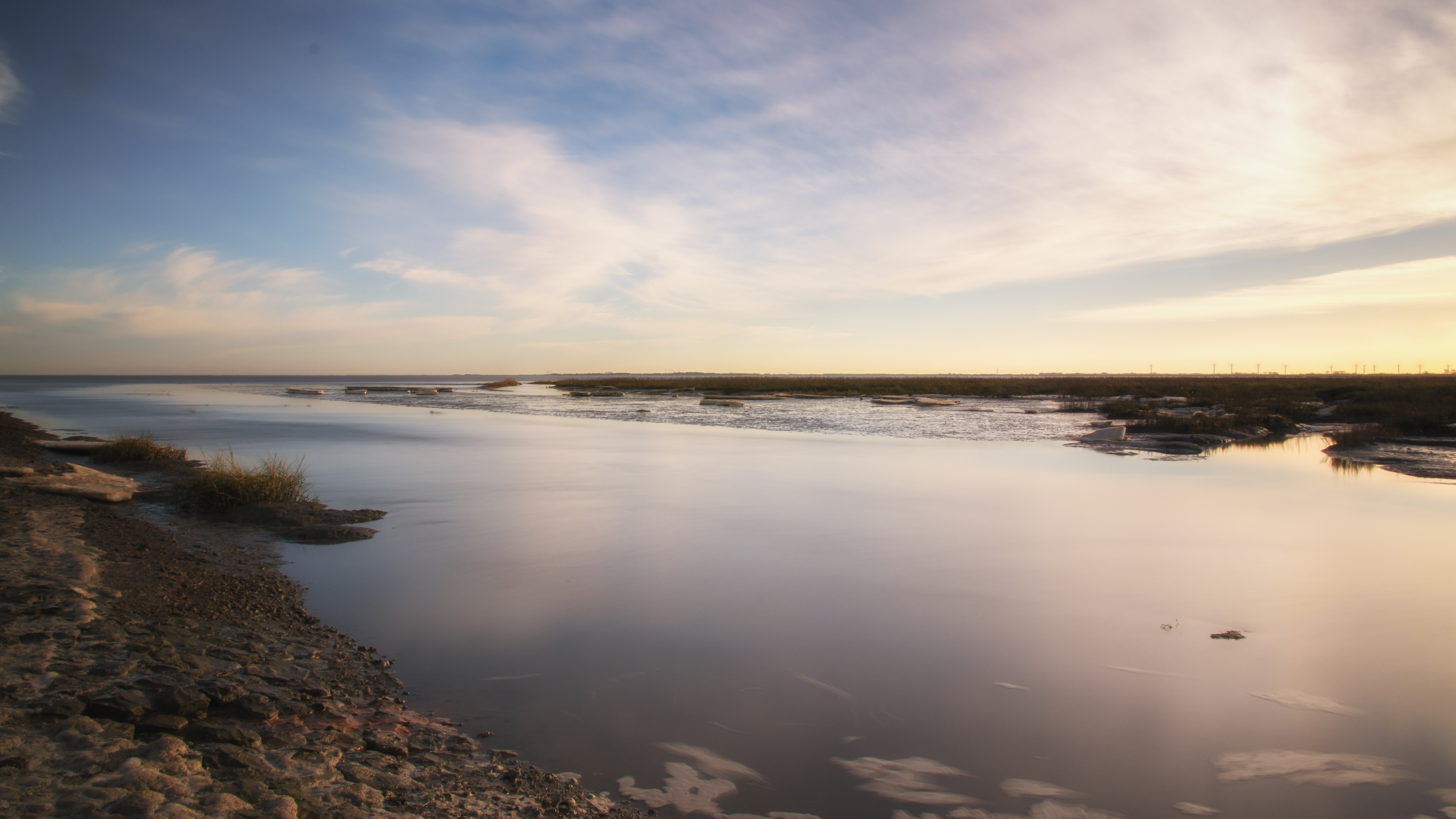
Fading Winter
Topographic Map of Jever Ab, Germany
Find elevation by address:

Places near Jever Ab, Germany:
Upjever
Oestringfelde
Lebensborner Weg 41, Schortens, Germany
Dorfstraße 63, Jever, Germany
Jever
Sandel
Schortens
Westrum
Westrum 11, Wangerland, Germany
Wiedel 5, Schortens, Germany
33b
Dykhausen
Waddewarden
Friedeburg
Hooksieler Str. 1, Wangerland, Germany
Sillenstede
Mühlenreihe 5, Schortens, Germany
Friesland
Wittmund
Sande
Recent Searches:
- Elevation of Corso Fratelli Cairoli, 35, Macerata MC, Italy
- Elevation of Tallevast Rd, Sarasota, FL, USA
- Elevation of 4th St E, Sonoma, CA, USA
- Elevation of Black Hollow Rd, Pennsdale, PA, USA
- Elevation of Oakland Ave, Williamsport, PA, USA
- Elevation of Pedrógão Grande, Portugal
- Elevation of Klee Dr, Martinsburg, WV, USA
- Elevation of Via Roma, Pieranica CR, Italy
- Elevation of Tavkvetili Mountain, Georgia
- Elevation of Hartfords Bluff Cir, Mt Pleasant, SC, USA