Elevation of Klaklakama Lakes, Mount Waddington D, BC V0P, Canada
Location: Canada > British Columbia > Mount Waddington > Mount Waddington D >
Longitude: -126.45896
Latitude: 50.1588618
Elevation: 302m / 991feet
Barometric Pressure: 98KPa
Elevation Map:
Satellite Map:
Related Photos:
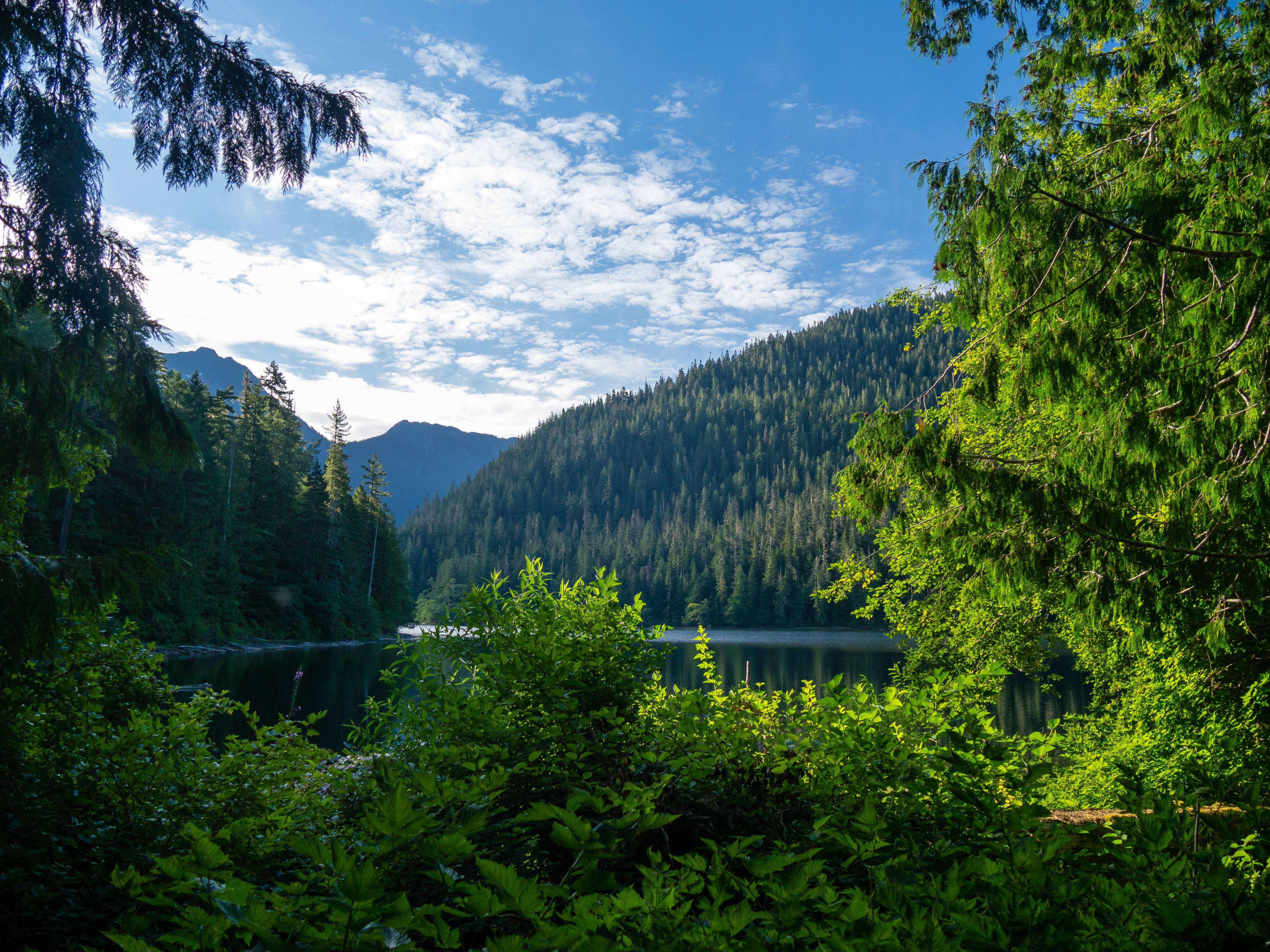
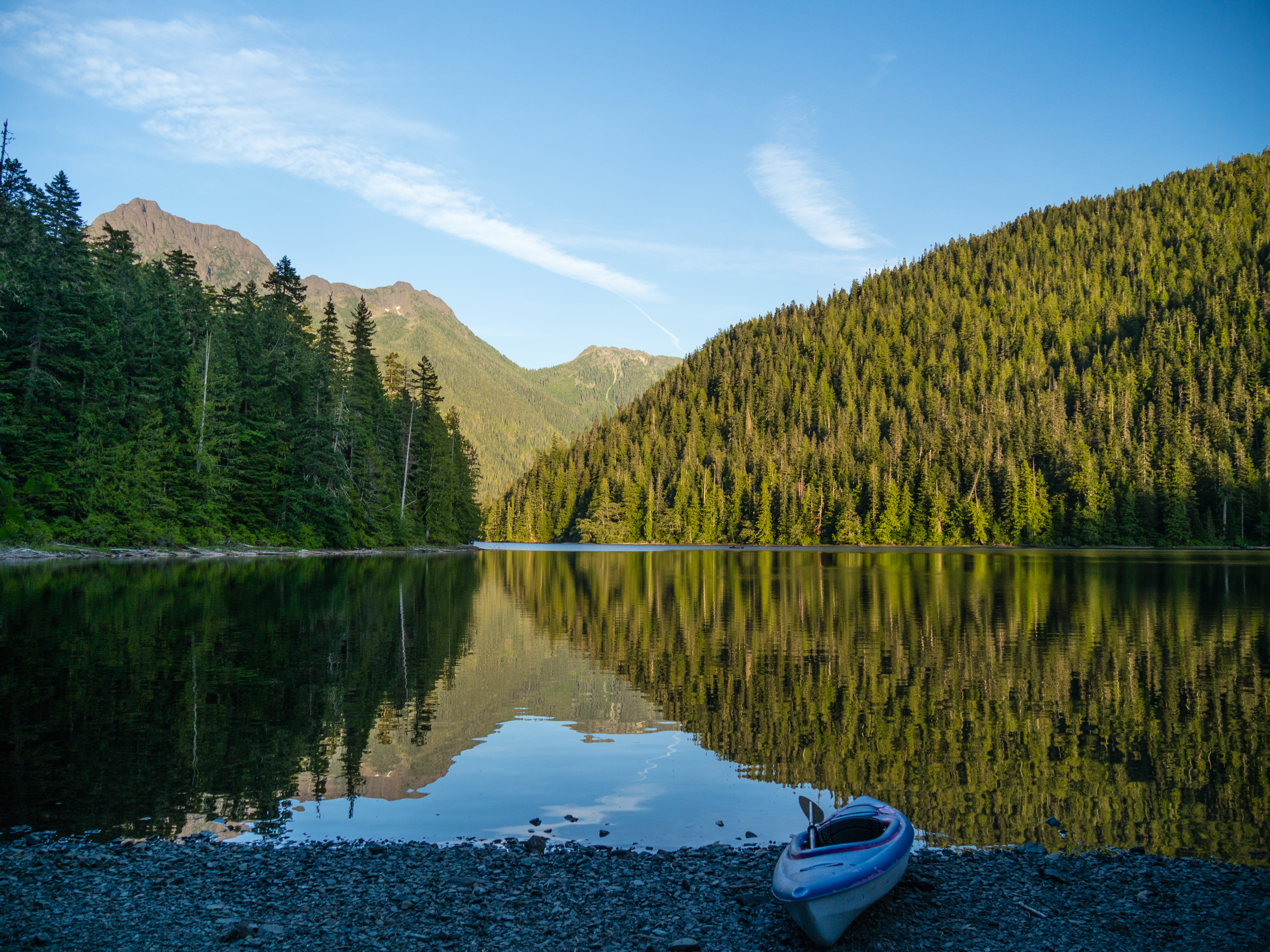
Morning at Schoen Lake
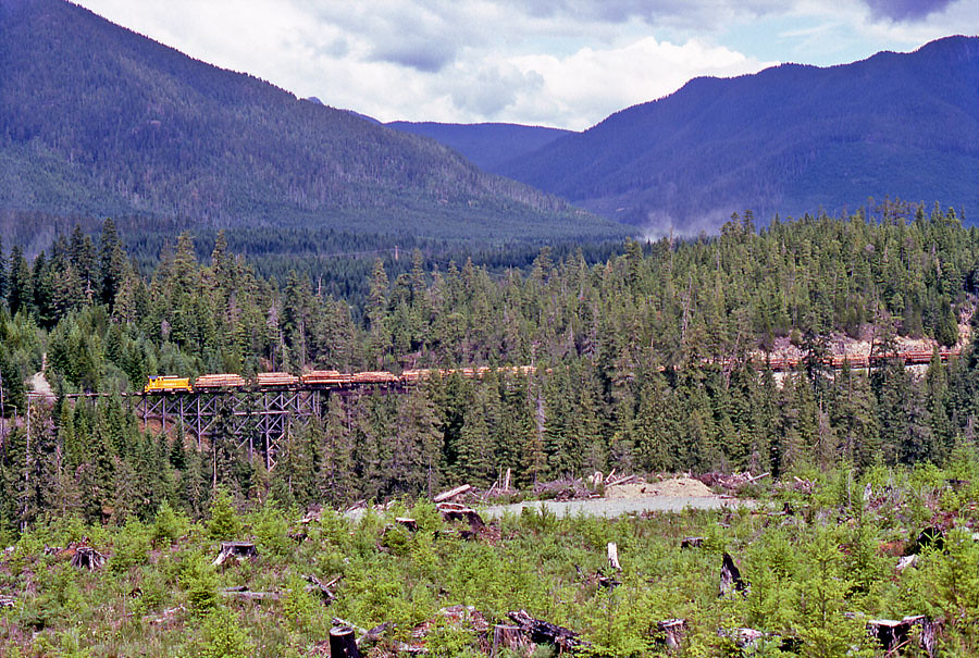
Groves Creek
Alkan2017-104A
Groves Creek

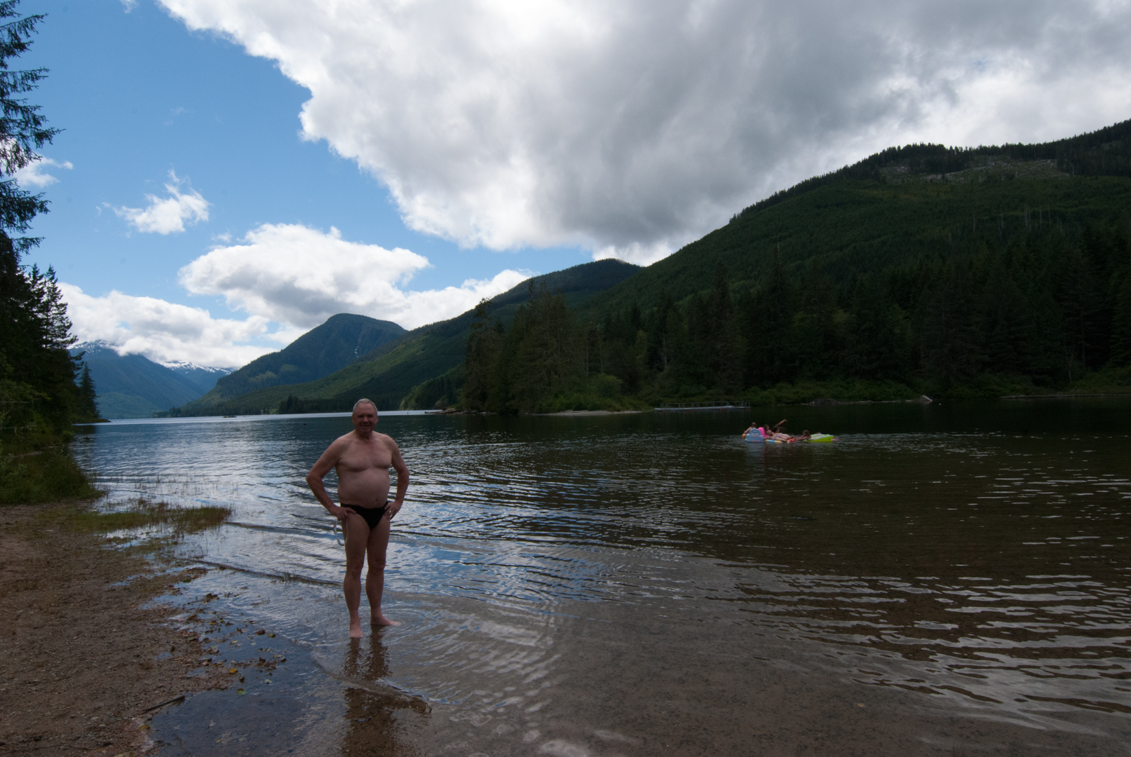
Hoomak Lake
Schoen Lake
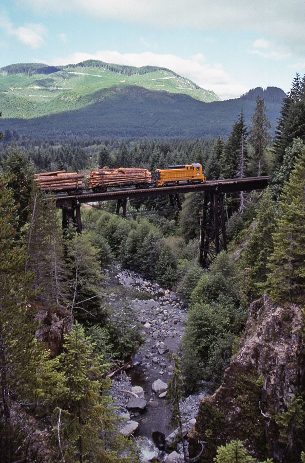
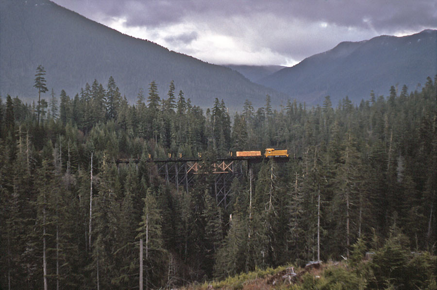
North-bound at Gold Creek.
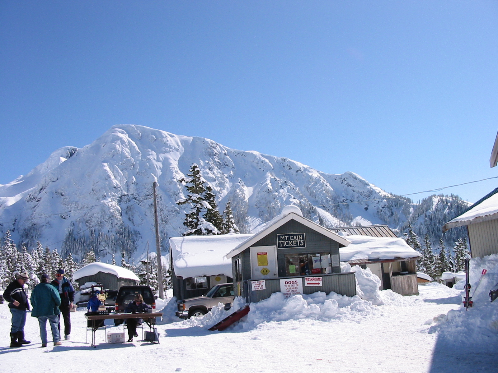
ticket.booth
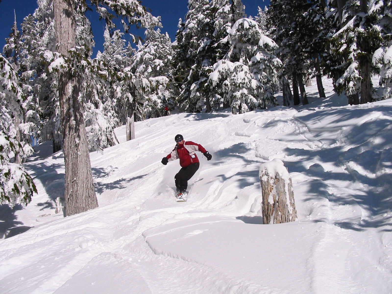
powder.2
Haihte Range

Haihte Range
Topographic Map of Klaklakama Lakes, Mount Waddington D, BC V0P, Canada
Find elevation by address:

Places near Klaklakama Lakes, Mount Waddington D, BC V0P, Canada:
Mount Elliot Ecological Reserve
Comox-strathcona G
100 Dyer Rd
Sayward
600 Nimpkish Dr
549 Mallard Way
Gold River
Maquinna Marine Provincial Park
Hot Springs Cove
Elk River Road
Golden Hinde
Strathcona Provincial Park Headquarters
Comox-strathcona D
Ahousat
Buttle Lake
Arnica Lake Trail
Alberni-clayoquot C
Lower Myra Falls
Ralph River Campground
Bedwell Trail
Recent Searches:
- Elevation of Corso Fratelli Cairoli, 35, Macerata MC, Italy
- Elevation of Tallevast Rd, Sarasota, FL, USA
- Elevation of 4th St E, Sonoma, CA, USA
- Elevation of Black Hollow Rd, Pennsdale, PA, USA
- Elevation of Oakland Ave, Williamsport, PA, USA
- Elevation of Pedrógão Grande, Portugal
- Elevation of Klee Dr, Martinsburg, WV, USA
- Elevation of Via Roma, Pieranica CR, Italy
- Elevation of Tavkvetili Mountain, Georgia
- Elevation of Hartfords Bluff Cir, Mt Pleasant, SC, USA