Elevation of Hot Springs Cove, BC V0R, Canada
Location: Canada > British Columbia > Alberni-clayoquot > Alberni-clayoquot C >
Longitude: -126.27237
Latitude: 49.3683298
Elevation: 29m / 95feet
Barometric Pressure: 101KPa
Elevation Map:
Satellite Map:
Related Photos:

Whale watcher

Whale watcher

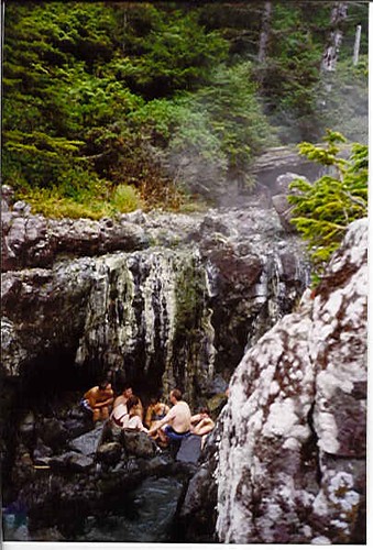
Hot springs

H O T SPRING

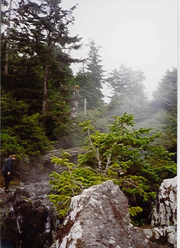
Steaming water!

P1000200.jpg

IMG_8067.jpg

IMG_8075.jpg

Stewards Way

Hotsprings Cove

Hotsprings Cove

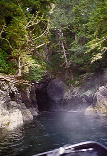
Still Waters Run Deep

IMG_8071.jpg

Cooperative Weather

Stewardson Inlet, Vancouver Island, BC Canada

Morning becomes Herschel

Pause to Reflect
Hot Springs Cove
Hot Springs Cove

2015-04-07 10.07.39

2015-04-07 10.10.04

P1000193.jpg
Jungel auf Vancouver Island
Topographic Map of Hot Springs Cove, BC V0R, Canada
Find elevation by address:

Places near Hot Springs Cove, BC V0R, Canada:
Maquinna Marine Provincial Park
Ahousat
Comox-strathcona G
Gold River
549 Mallard Way
600 Nimpkish Dr
Alberni-clayoquot C
Golden Hinde
Bedwell Lake
Arnica Lake Trail
Bedwell Trail
Lower Myra Falls
Buttle Lake
Ralph River Campground
Comox-strathcona D
Strathcona Provincial Park Headquarters
Klaklakama Lakes
Elk River Road
Vancouver Island
Mount Albert Edward
Recent Searches:
- Elevation of Corso Fratelli Cairoli, 35, Macerata MC, Italy
- Elevation of Tallevast Rd, Sarasota, FL, USA
- Elevation of 4th St E, Sonoma, CA, USA
- Elevation of Black Hollow Rd, Pennsdale, PA, USA
- Elevation of Oakland Ave, Williamsport, PA, USA
- Elevation of Pedrógão Grande, Portugal
- Elevation of Klee Dr, Martinsburg, WV, USA
- Elevation of Via Roma, Pieranica CR, Italy
- Elevation of Tavkvetili Mountain, Georgia
- Elevation of Hartfords Bluff Cir, Mt Pleasant, SC, USA