Elevation of Buttle Lake, Comox-Strathcona D, BC, Canada
Location: Canada > British Columbia > Comox Valley > Comox-strathcona D >
Longitude: -125.55928
Latitude: 49.7082611
Elevation: 223m / 732feet
Barometric Pressure: 99KPa
Elevation Map:
Satellite Map:
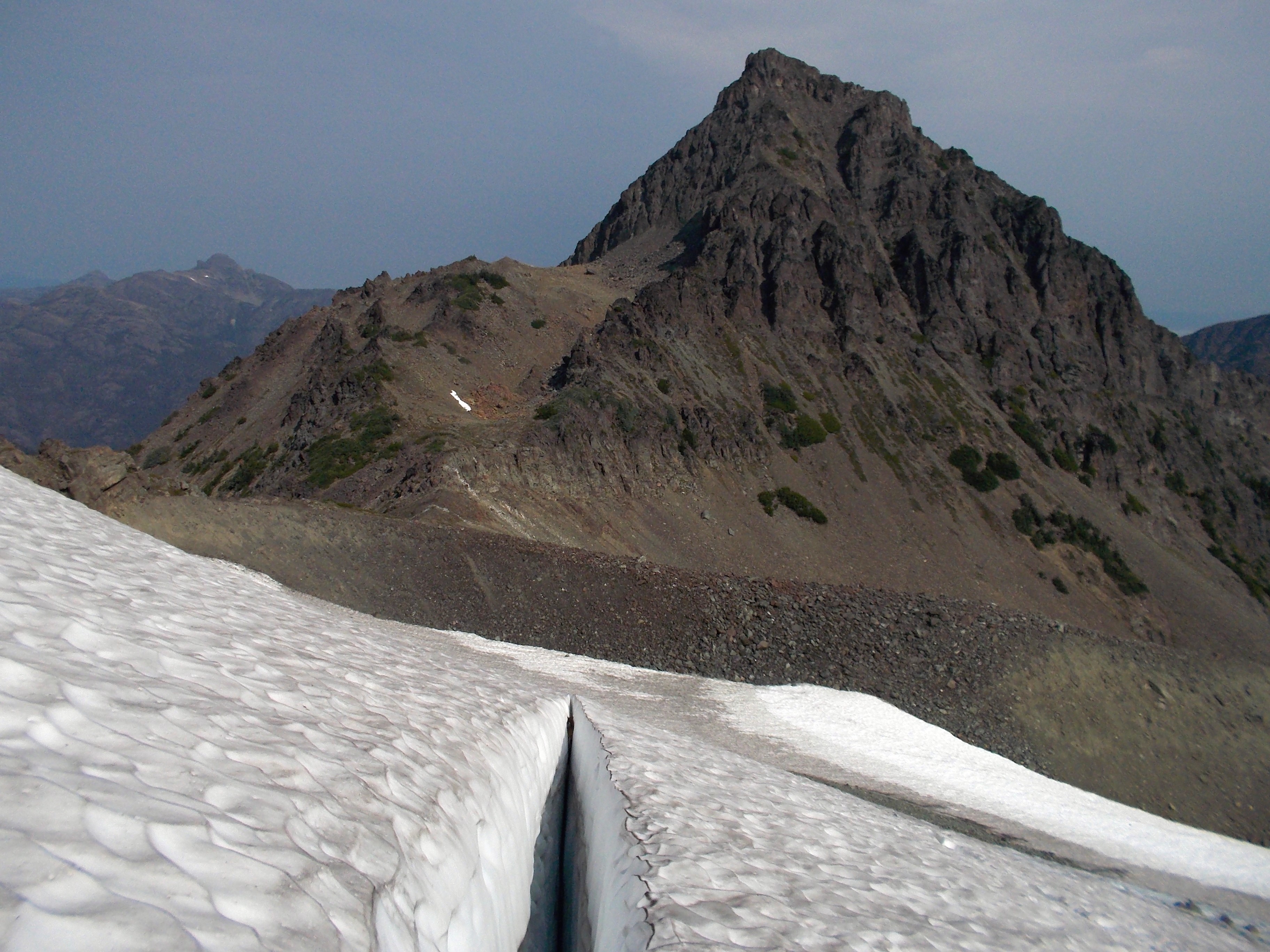
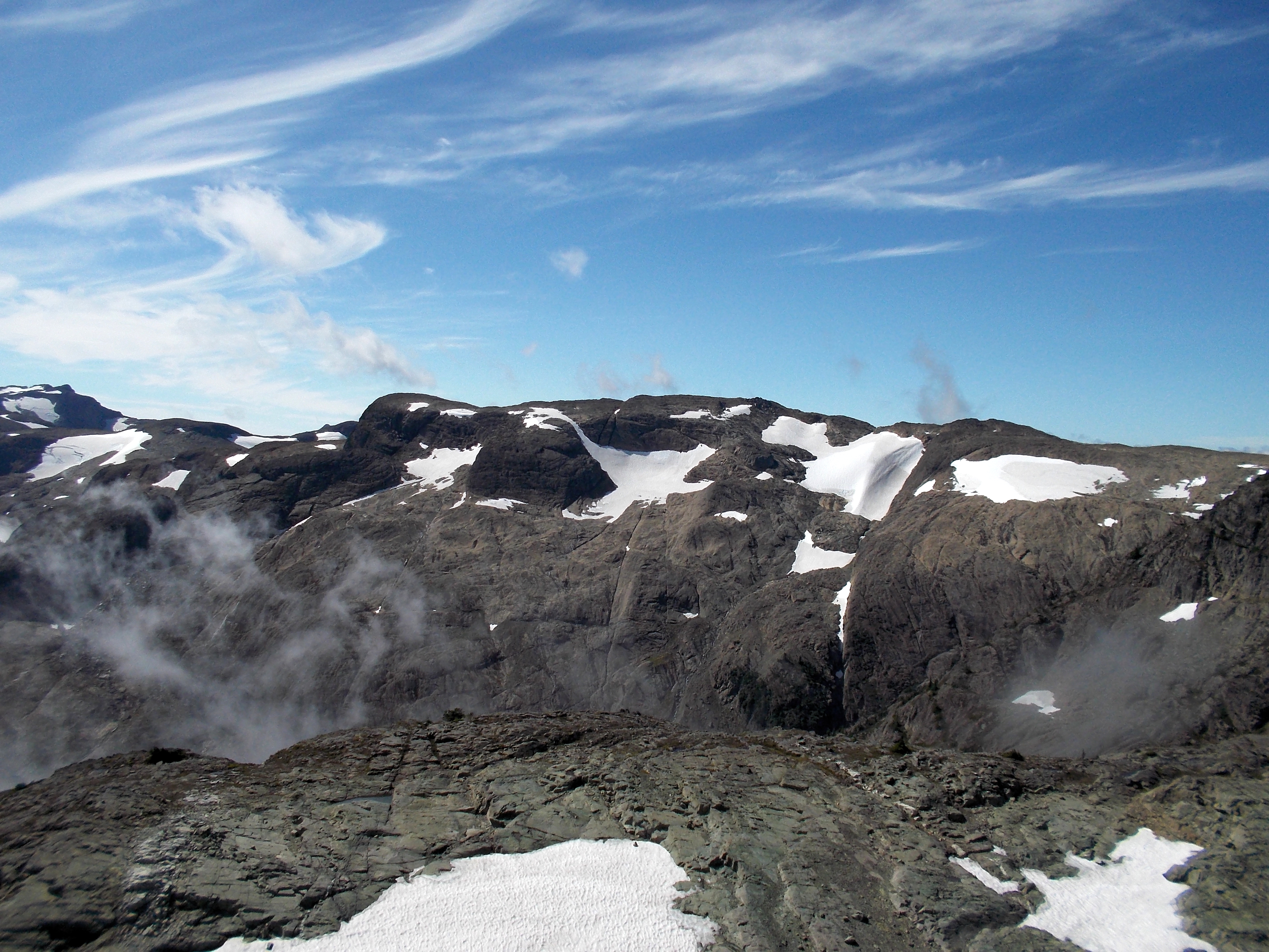
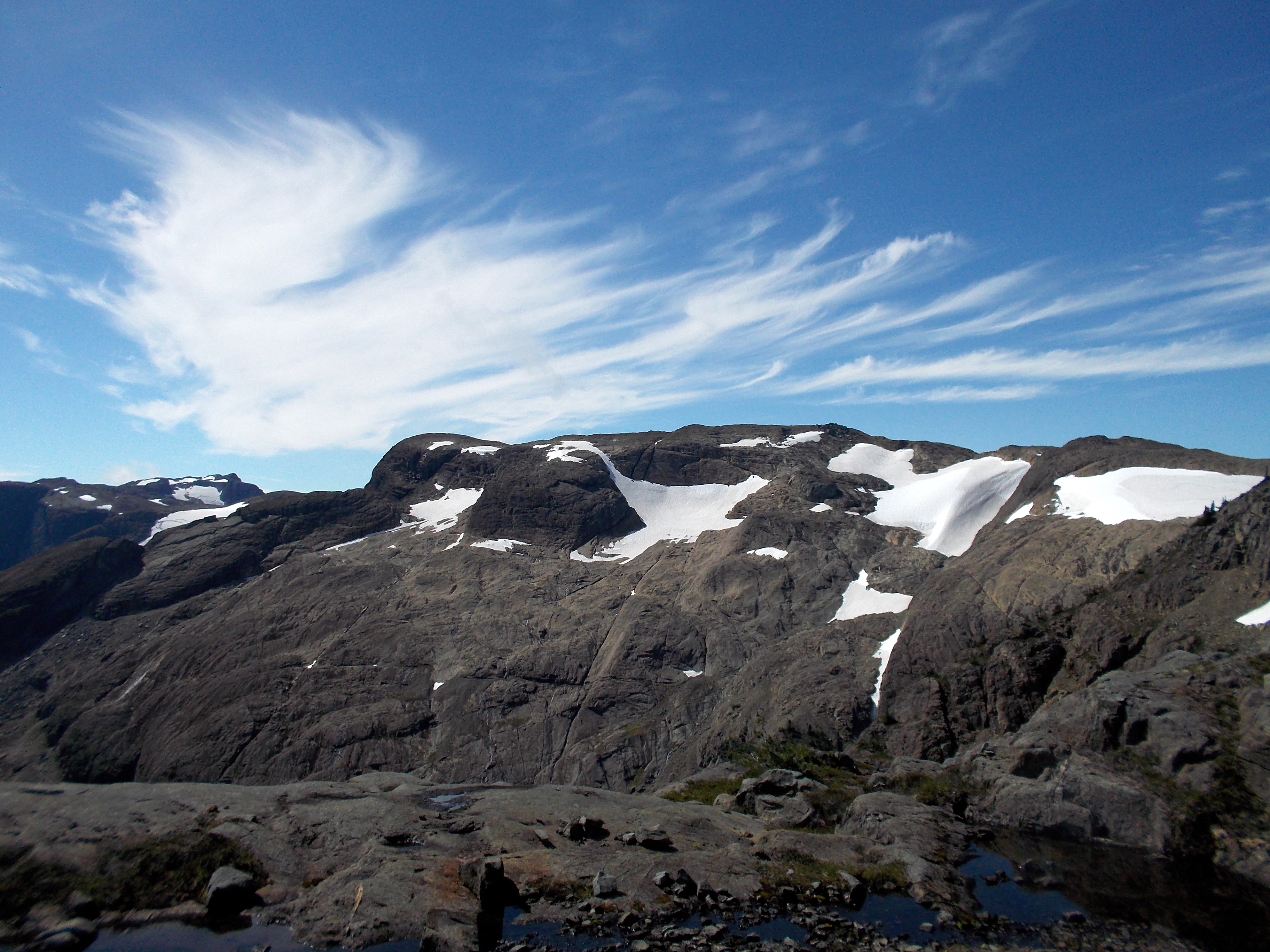
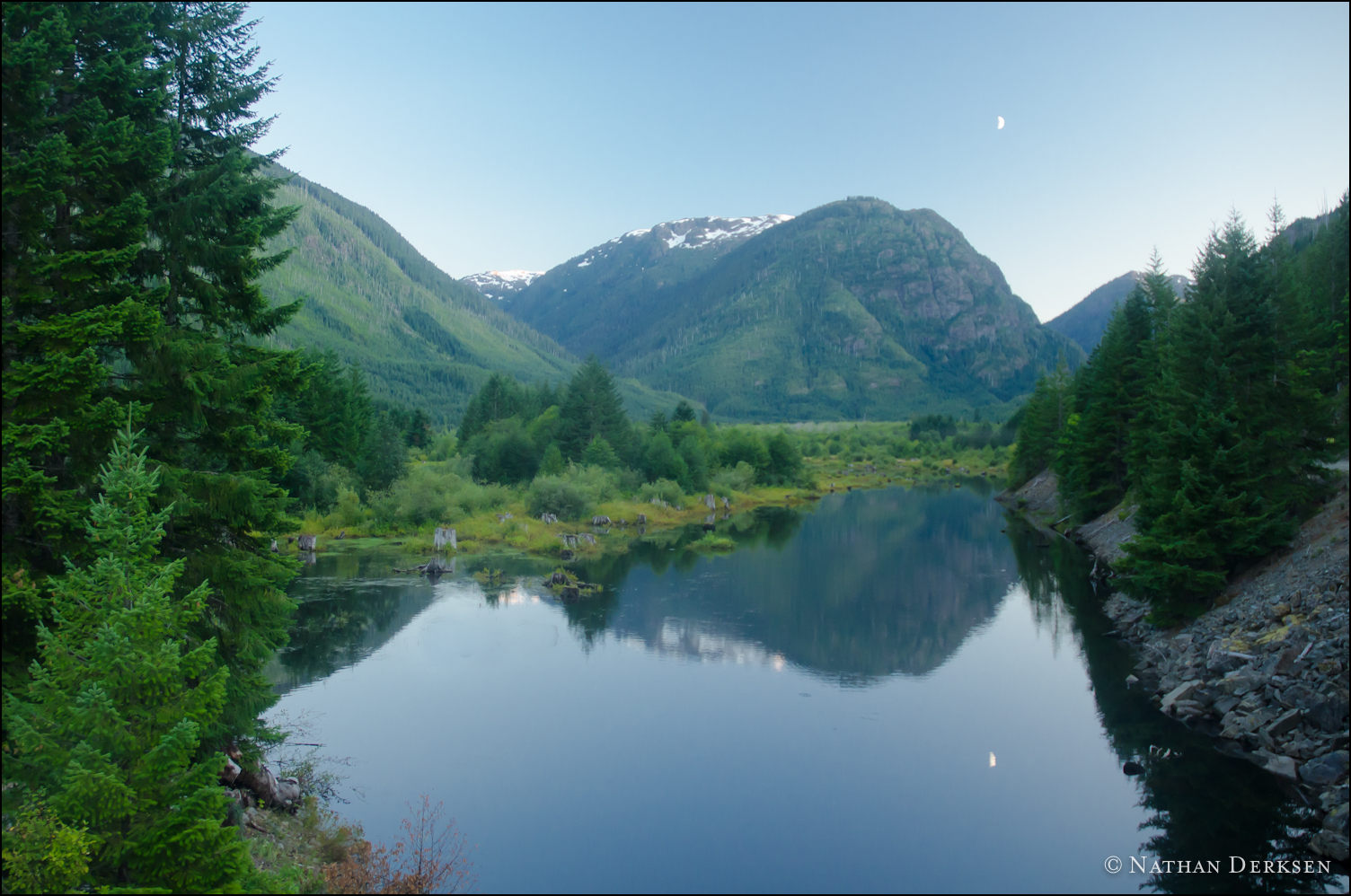
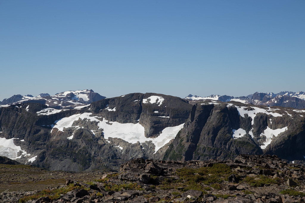
Related Photos:
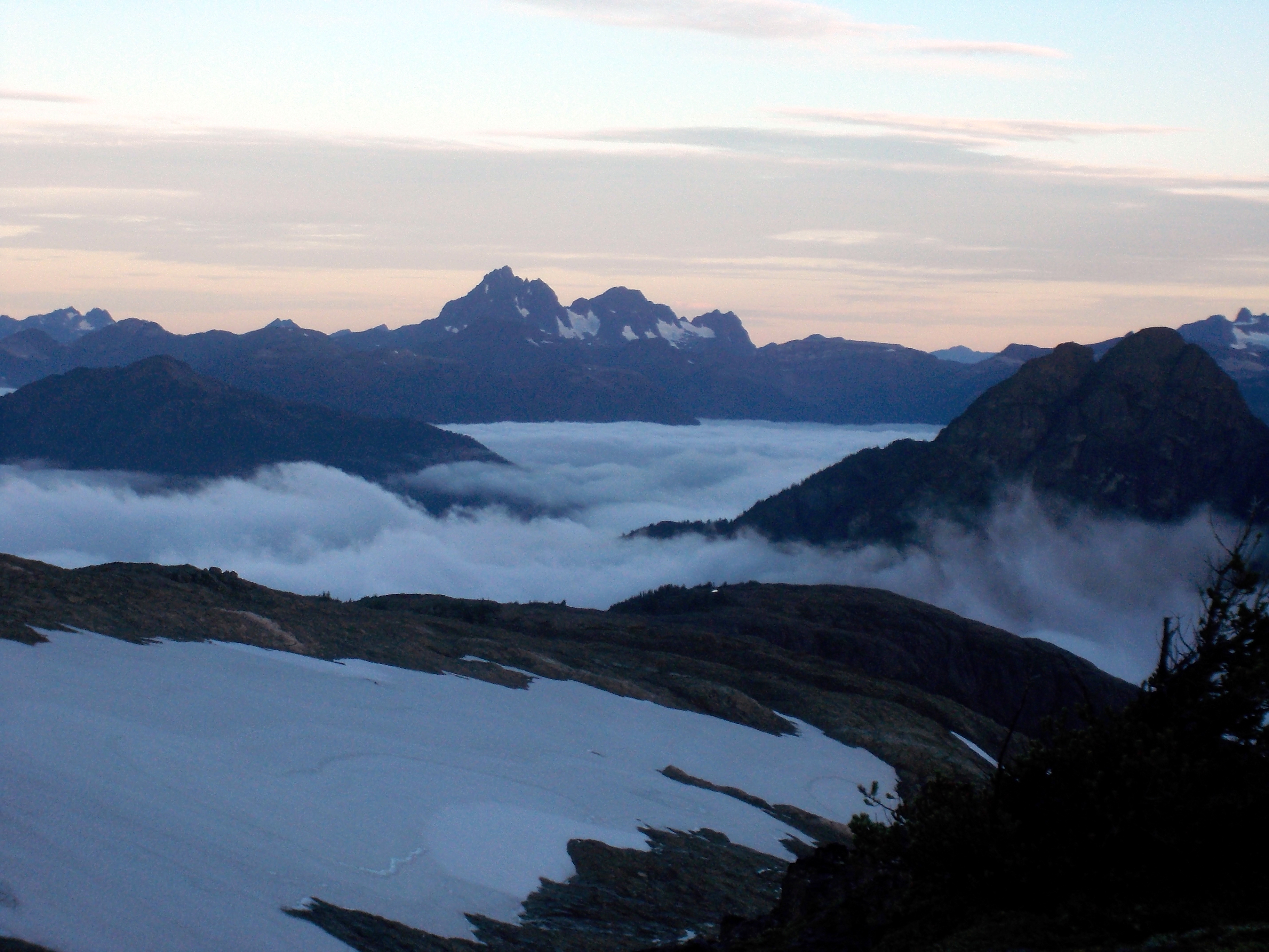
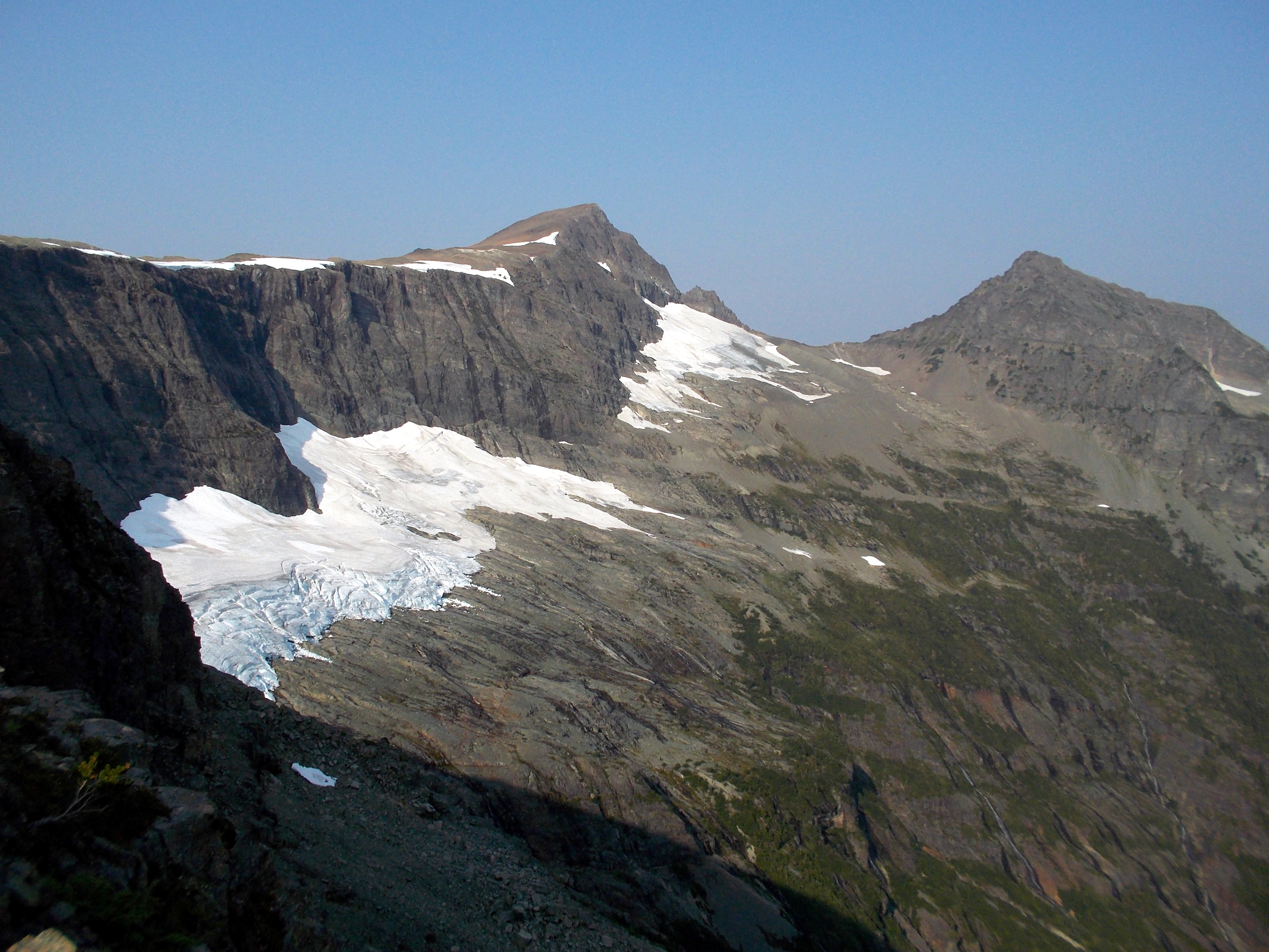
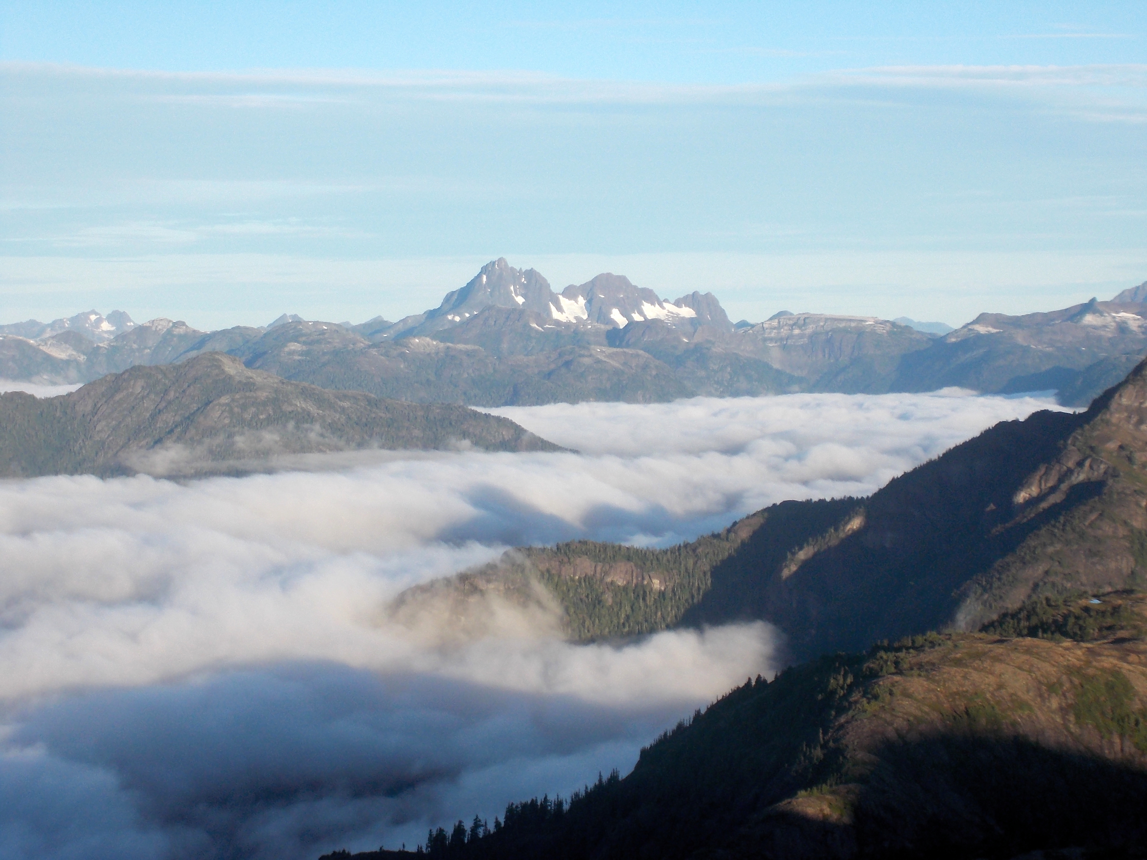
Golden Hinde
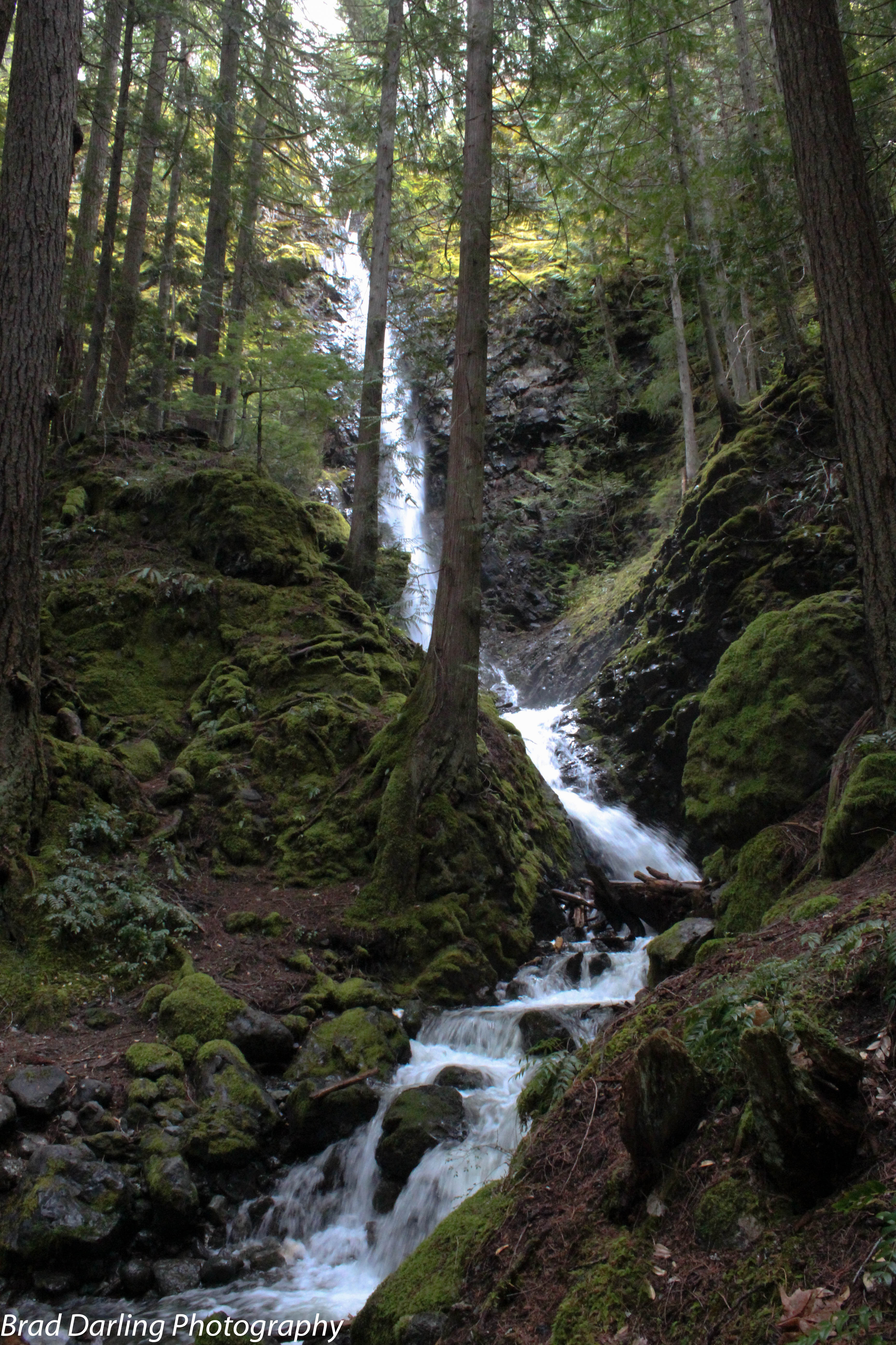
Lupin Falls
Looking South
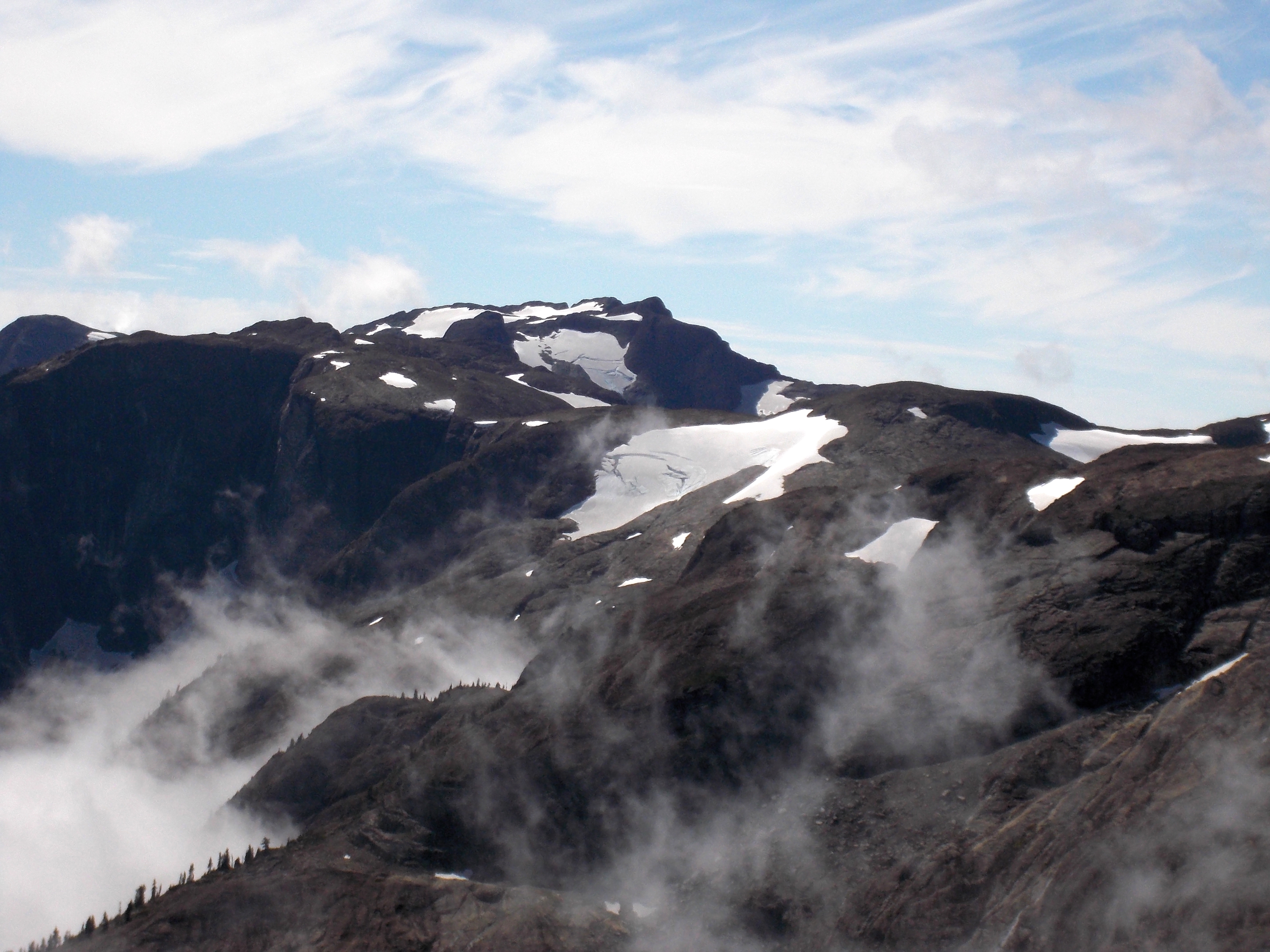
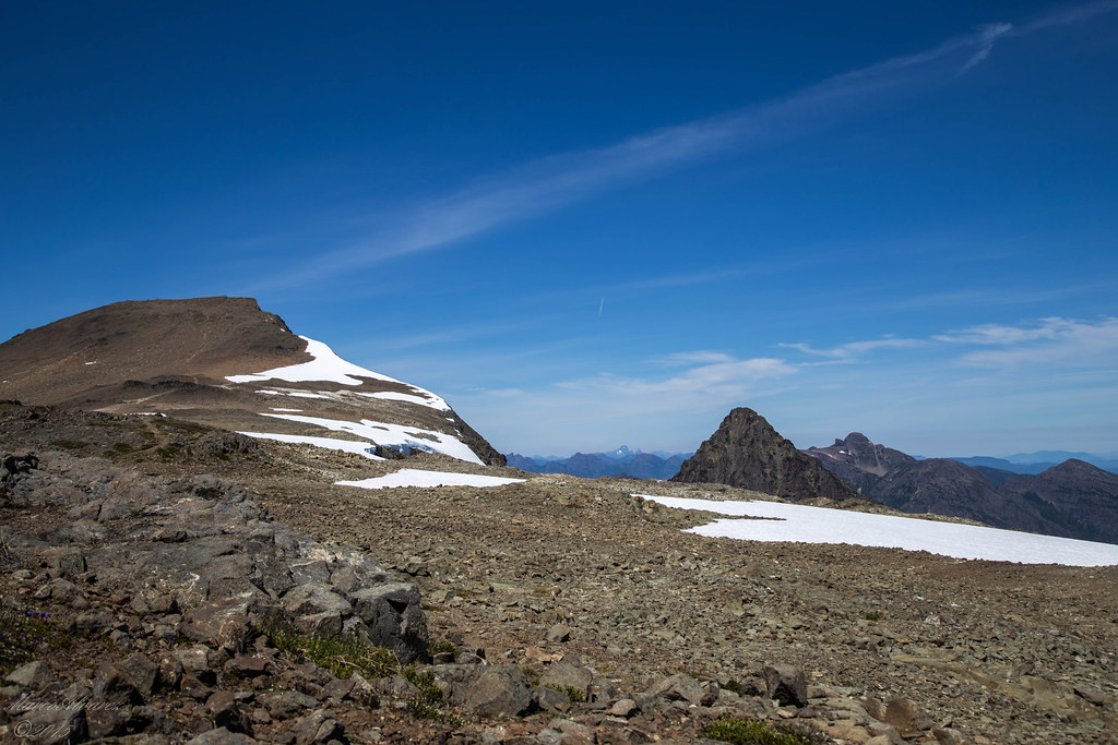
Peak 1909
Mount Albert Edward and Mount Regan
Peak 1920

The View
Peak 1909

Peak 1909
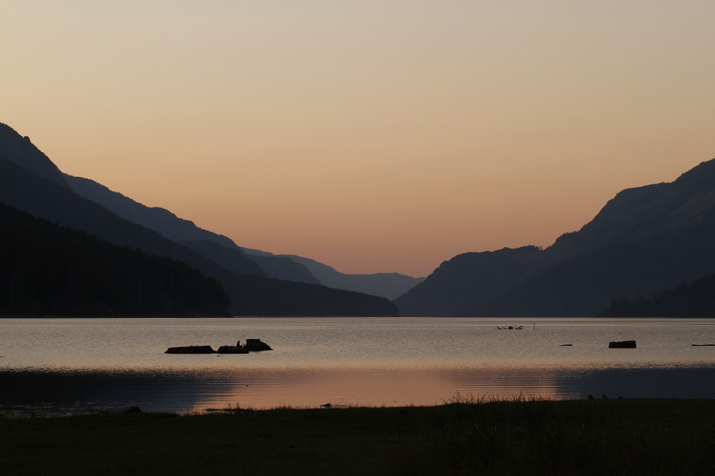
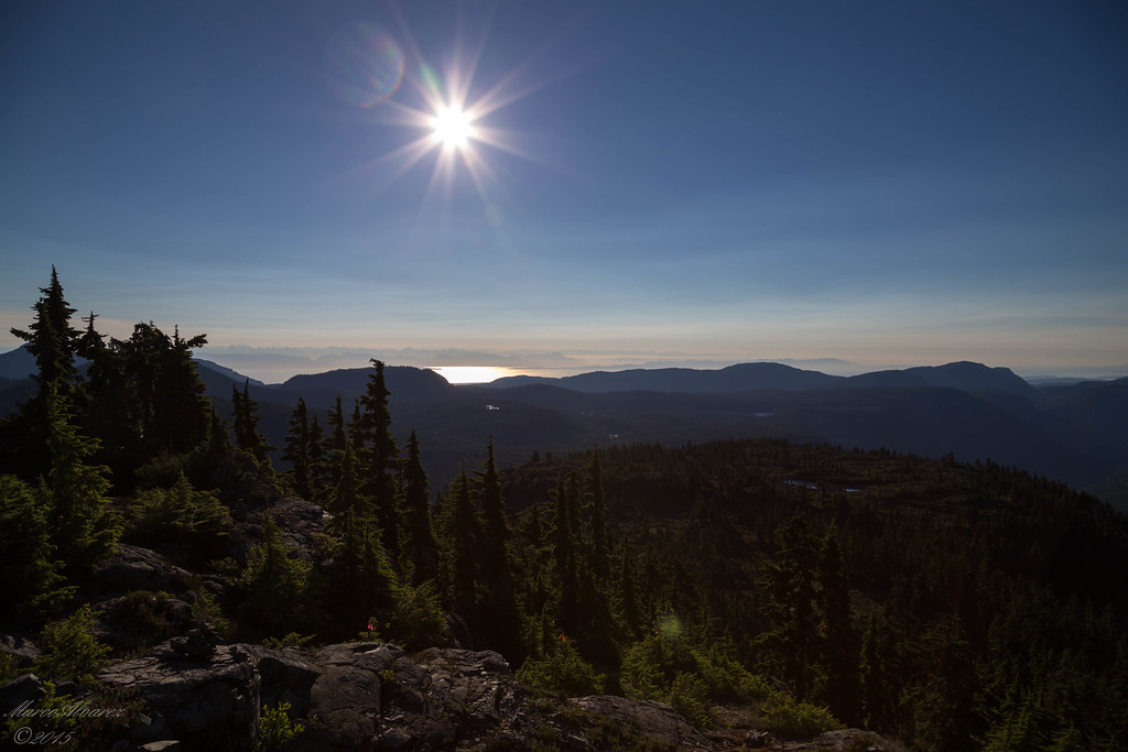
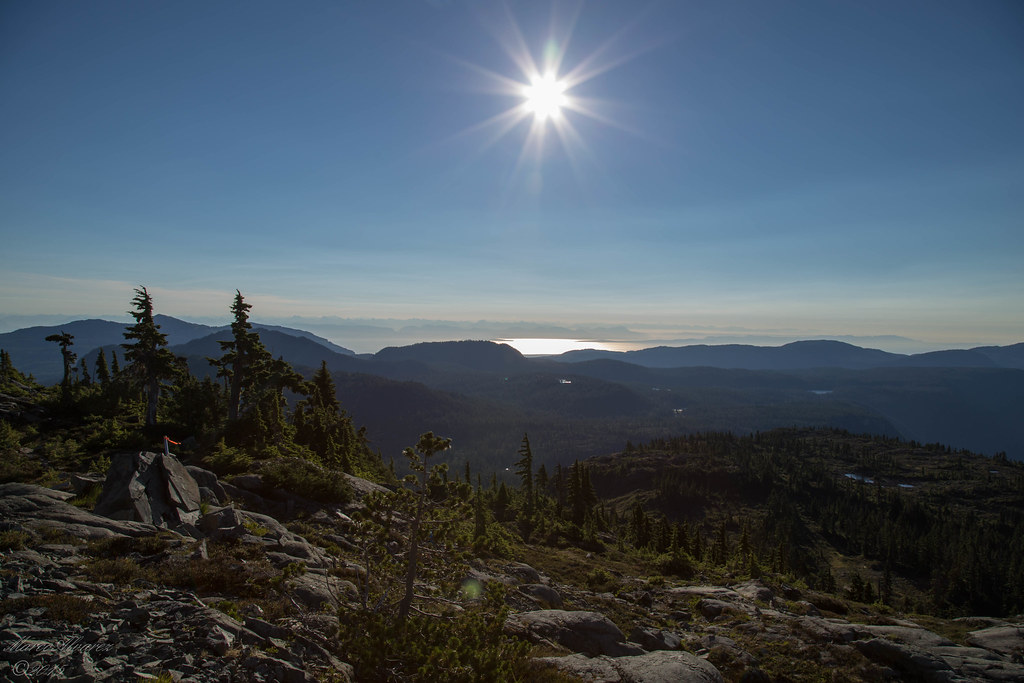
Ralph River Sunset
Mount Regan
Peak 1909
Peak 1909
Peace After Sunset
Golden Hinde
Peak 1920
Mount Albert Edward

Mount Frink

Mount Regan
Peak 1909

Peak 1909

Lupin Falls
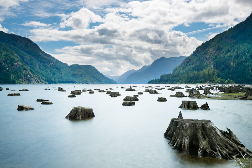
Stump City
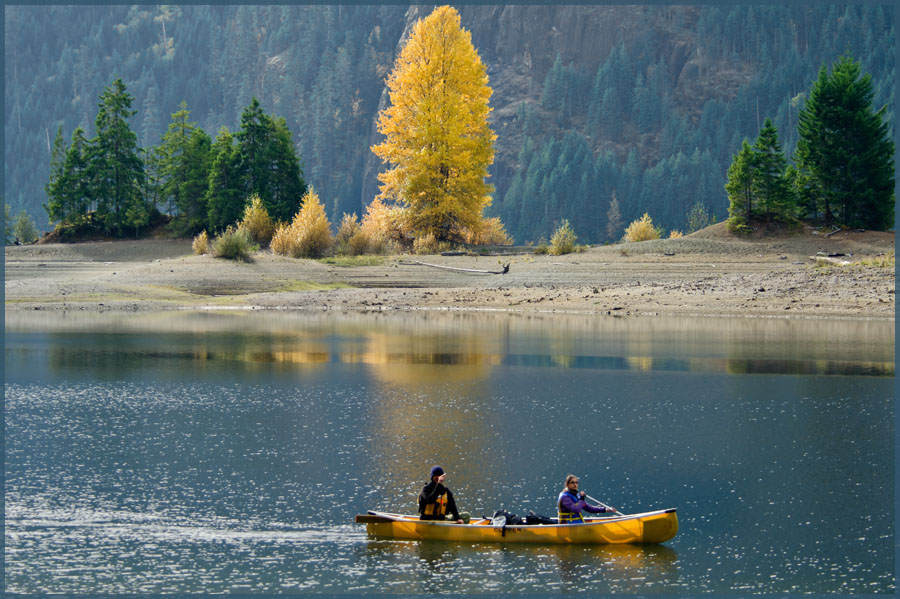
Gold on Buttle
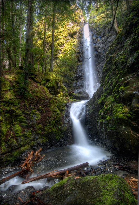
Lupin Falls - Strathcona Park
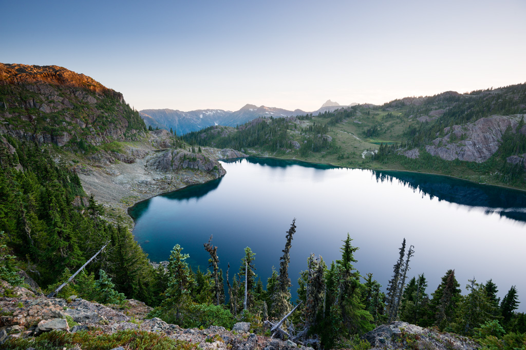
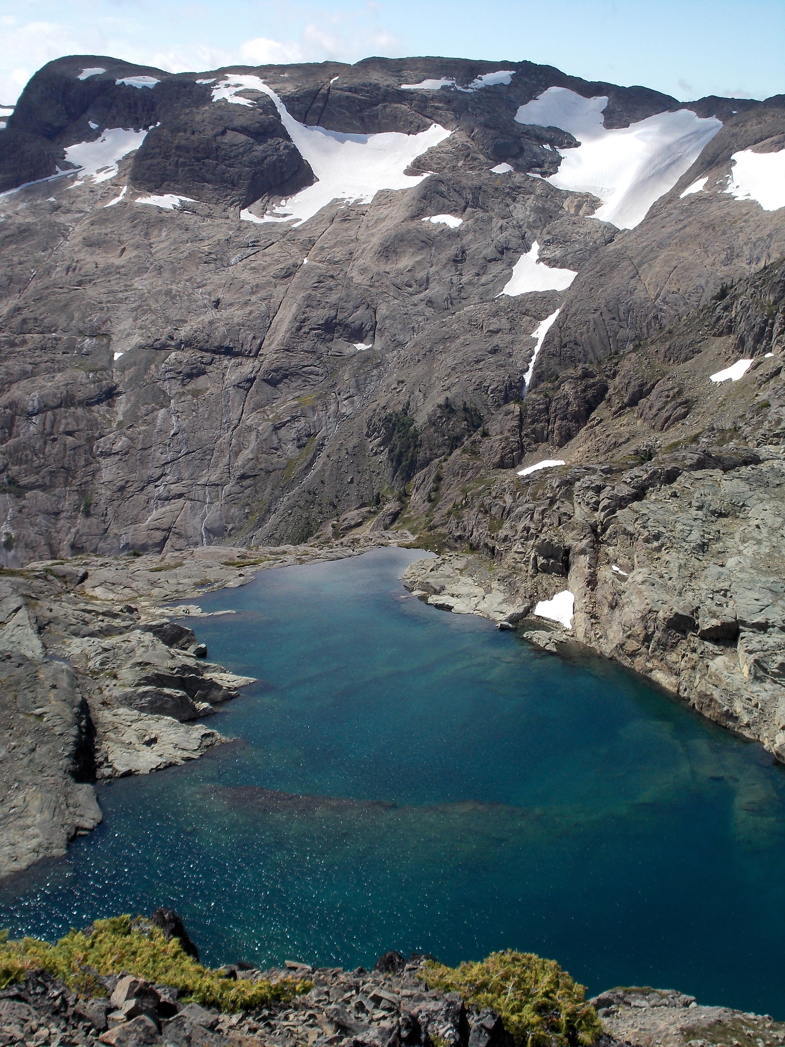
Marsh Marigold Lake
IMG_4929.jpg
IMG_4864.jpg
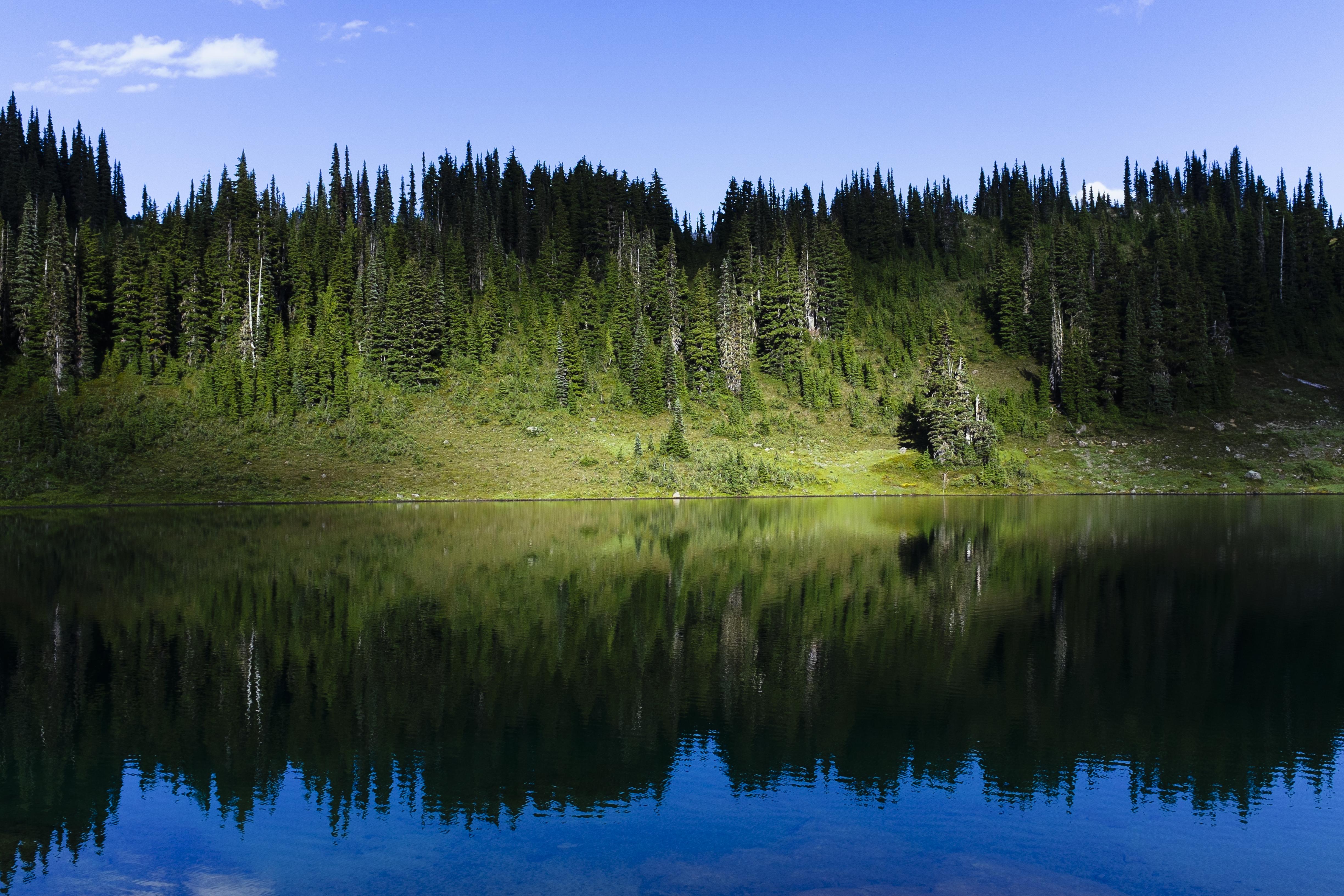
Globe Flower Lake
IMG_5134.jpg
IMG_4869.jpg
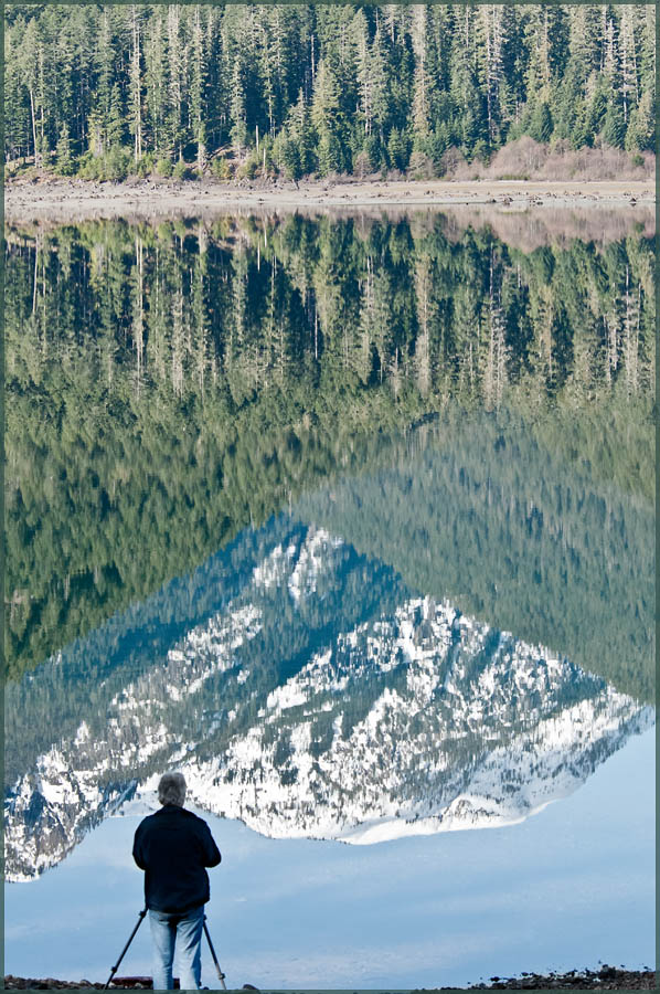
The Photographer
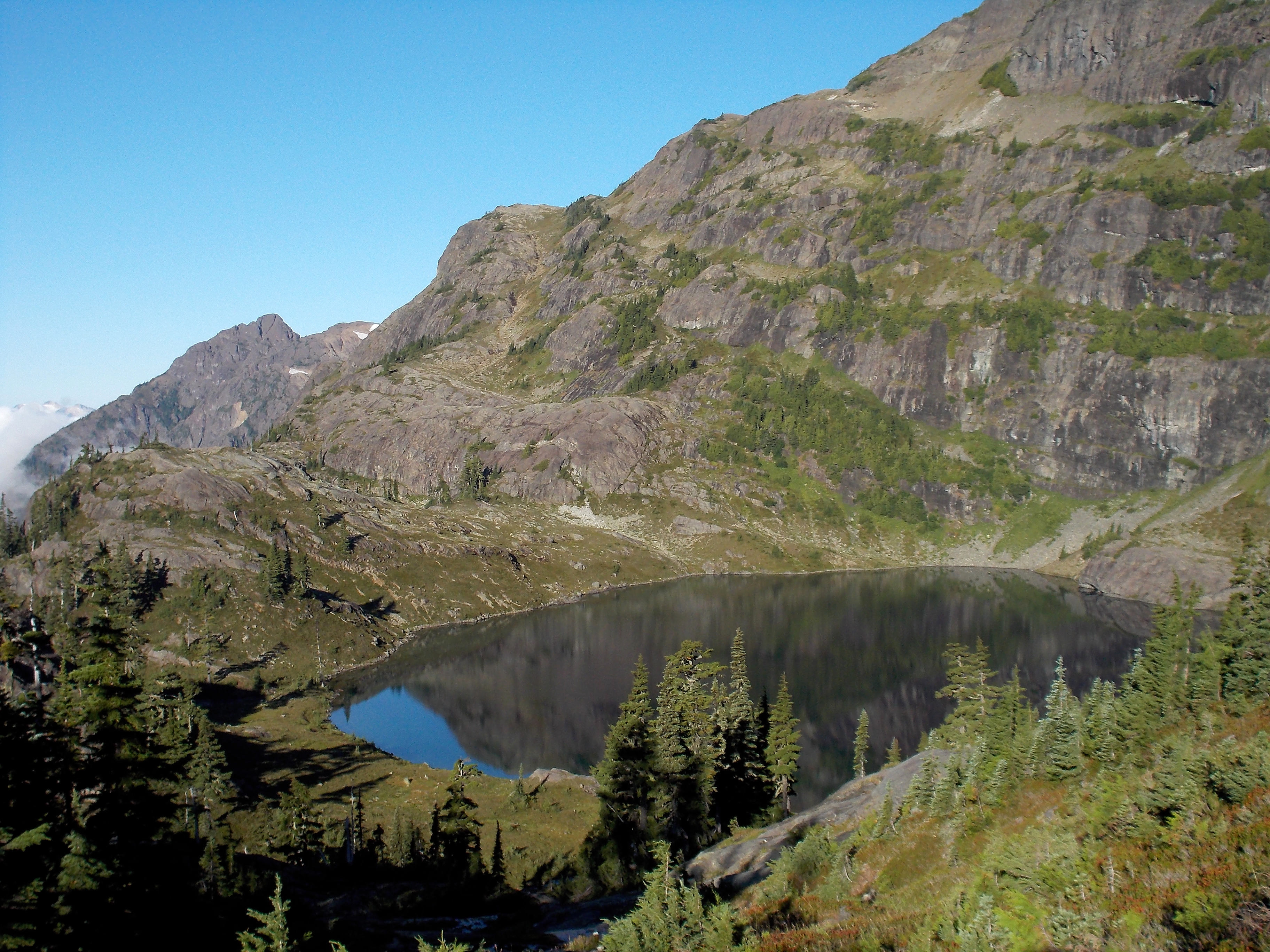
Hope Lake
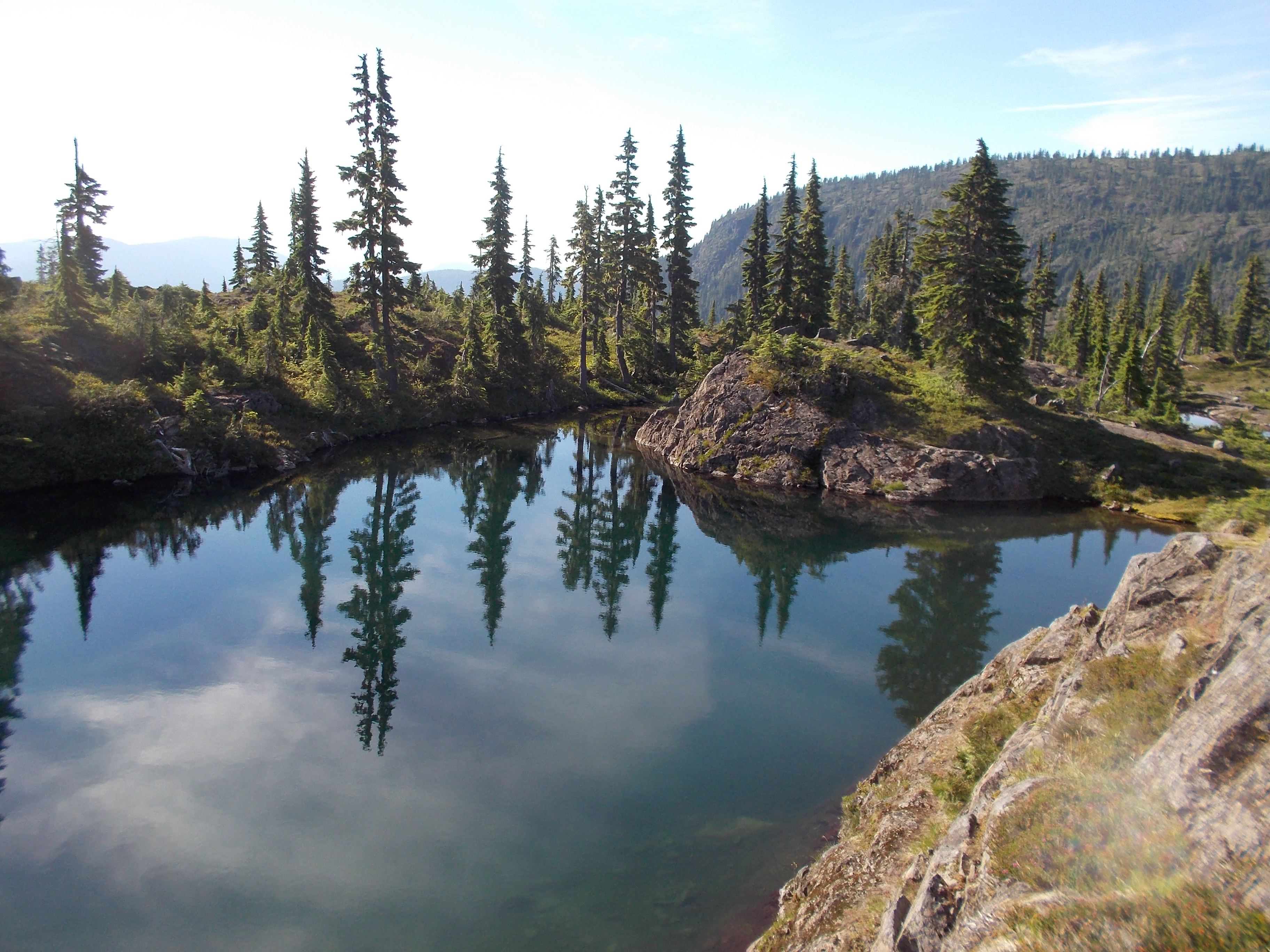
Swimming Hole
Marble Rock Lake
Ralph Valley
IMG_5161-Pano.jpg
Topographic Map of Buttle Lake, Comox-Strathcona D, BC, Canada
Find elevation by address:

Places near Buttle Lake, Comox-Strathcona D, BC, Canada:
Ralph River Campground
Vancouver Island
Comox-strathcona D
Lower Myra Falls
Mount Albert Edward
Strathcona Provincial Park Headquarters
Arnica Lake Trail
Circlet Lake Campground
Golden Hinde
Bedwell Trail
Bedwell Lake
Kwai Lake Campground
Lake Helen Mackenzie
Argus Mountain
Elk River Road
Bear Lodge, Mount Washington
Mount Washington
Comox-strathcona C
Alberni-clayoquot C
1006 Gold River Hwy
Recent Searches:
- Elevation of Corso Fratelli Cairoli, 35, Macerata MC, Italy
- Elevation of Tallevast Rd, Sarasota, FL, USA
- Elevation of 4th St E, Sonoma, CA, USA
- Elevation of Black Hollow Rd, Pennsdale, PA, USA
- Elevation of Oakland Ave, Williamsport, PA, USA
- Elevation of Pedrógão Grande, Portugal
- Elevation of Klee Dr, Martinsburg, WV, USA
- Elevation of Via Roma, Pieranica CR, Italy
- Elevation of Tavkvetili Mountain, Georgia
- Elevation of Hartfords Bluff Cir, Mt Pleasant, SC, USA