Elevation map of Kittitas County, WA, USA
Location: United States > Washington >
Longitude: -120.9319411
Latitude: 47.1749548
Elevation: 614m / 2014feet
Barometric Pressure: 0KPa
Related Photos:

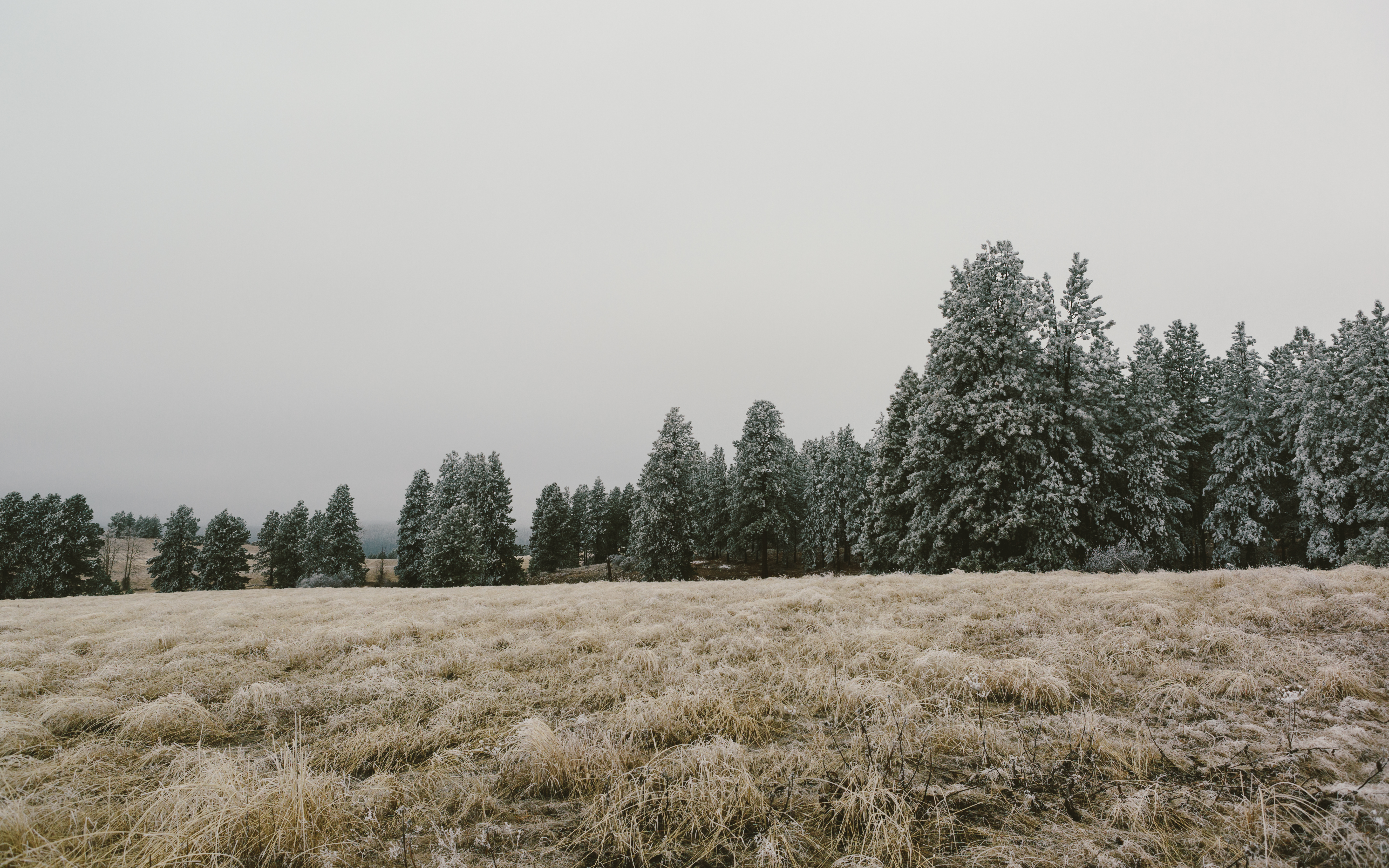
Stay Frosty
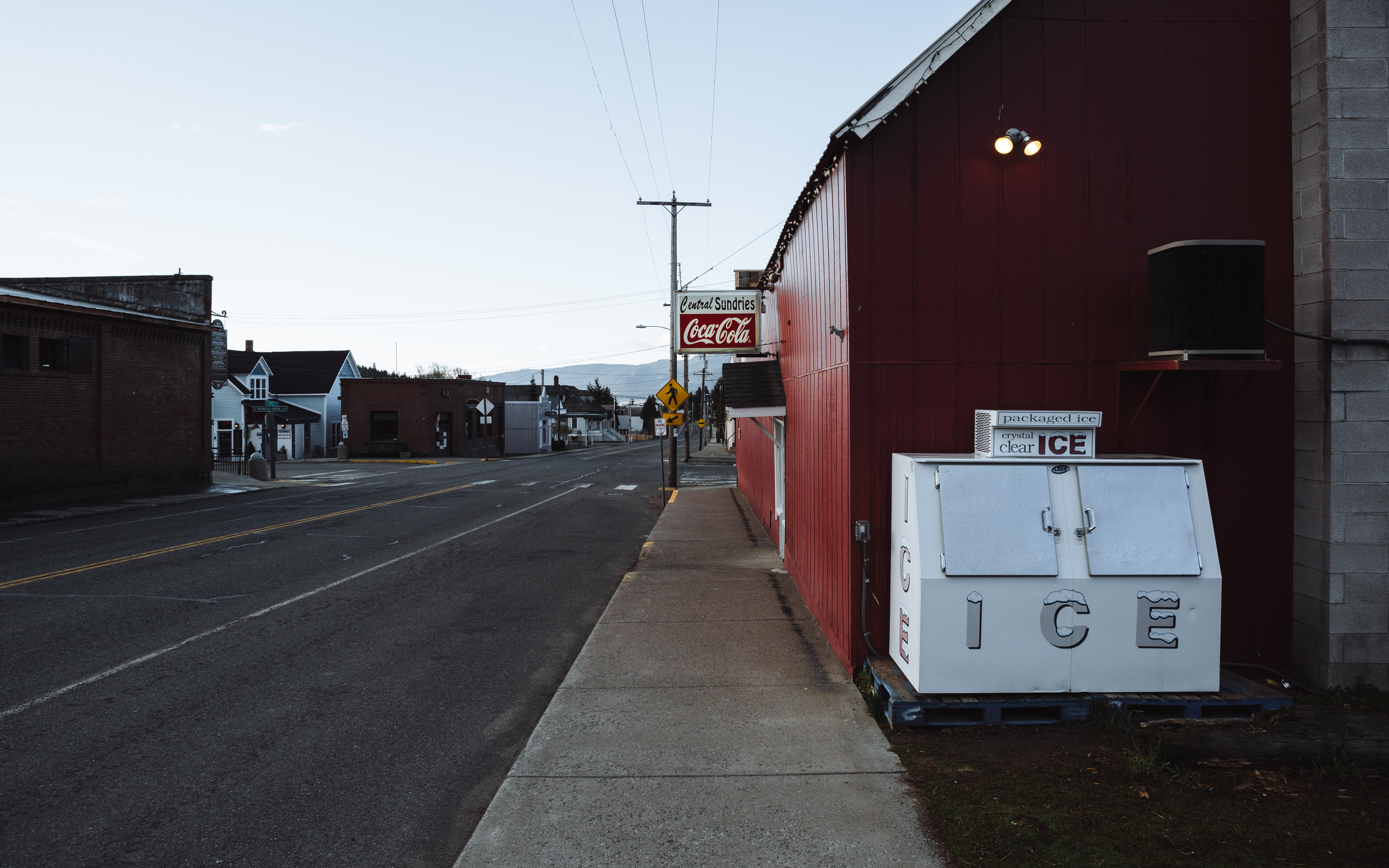
Small Town Street
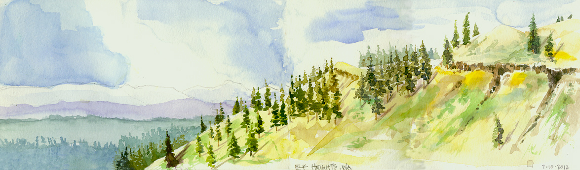
Elk Heights, Washington
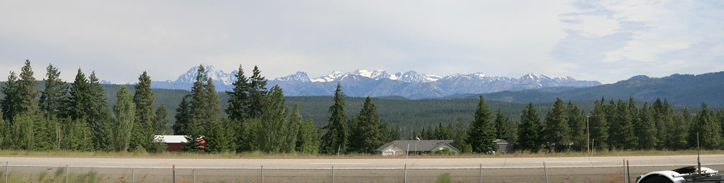
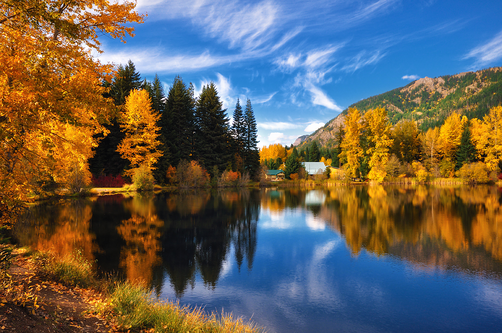
Westward Skies

The Morning Meeting

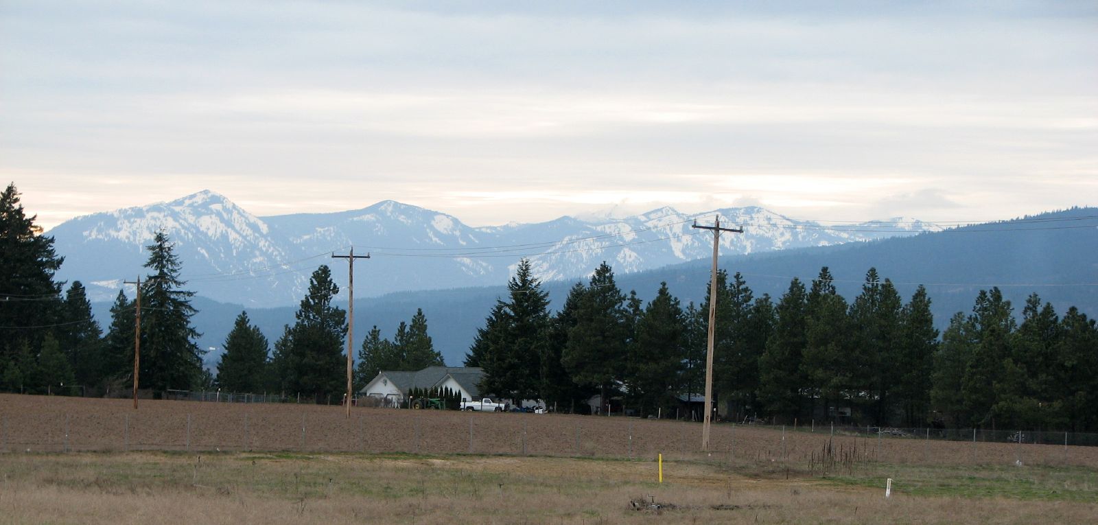
The view from today's hotel
The view from today's hotel
Stuart Range
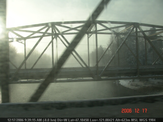
LV0901DSC00283.JPG
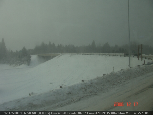
LV0897DSC00279.JPG
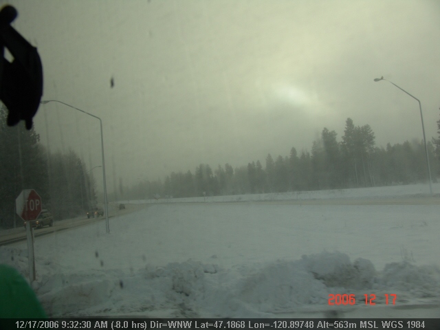
LV0895DSC00277.JPG
LV0900DSC00282.JPG
LV0896DSC00278.JPG
drift 2
View from Huckleberry house in Roslyn, WA

View from 20000 feet Some glitches in there.
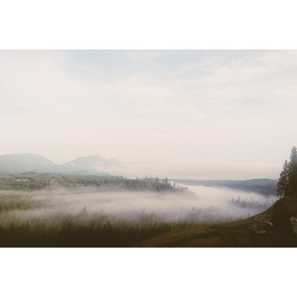
Morning view from our room. #dateweekend #generosityretreat #fog #afterthestorm
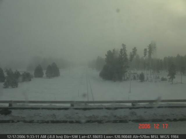
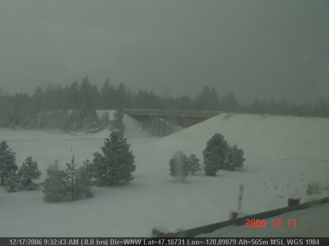
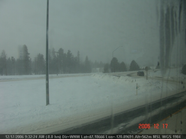
Indian John Hill Rest Area
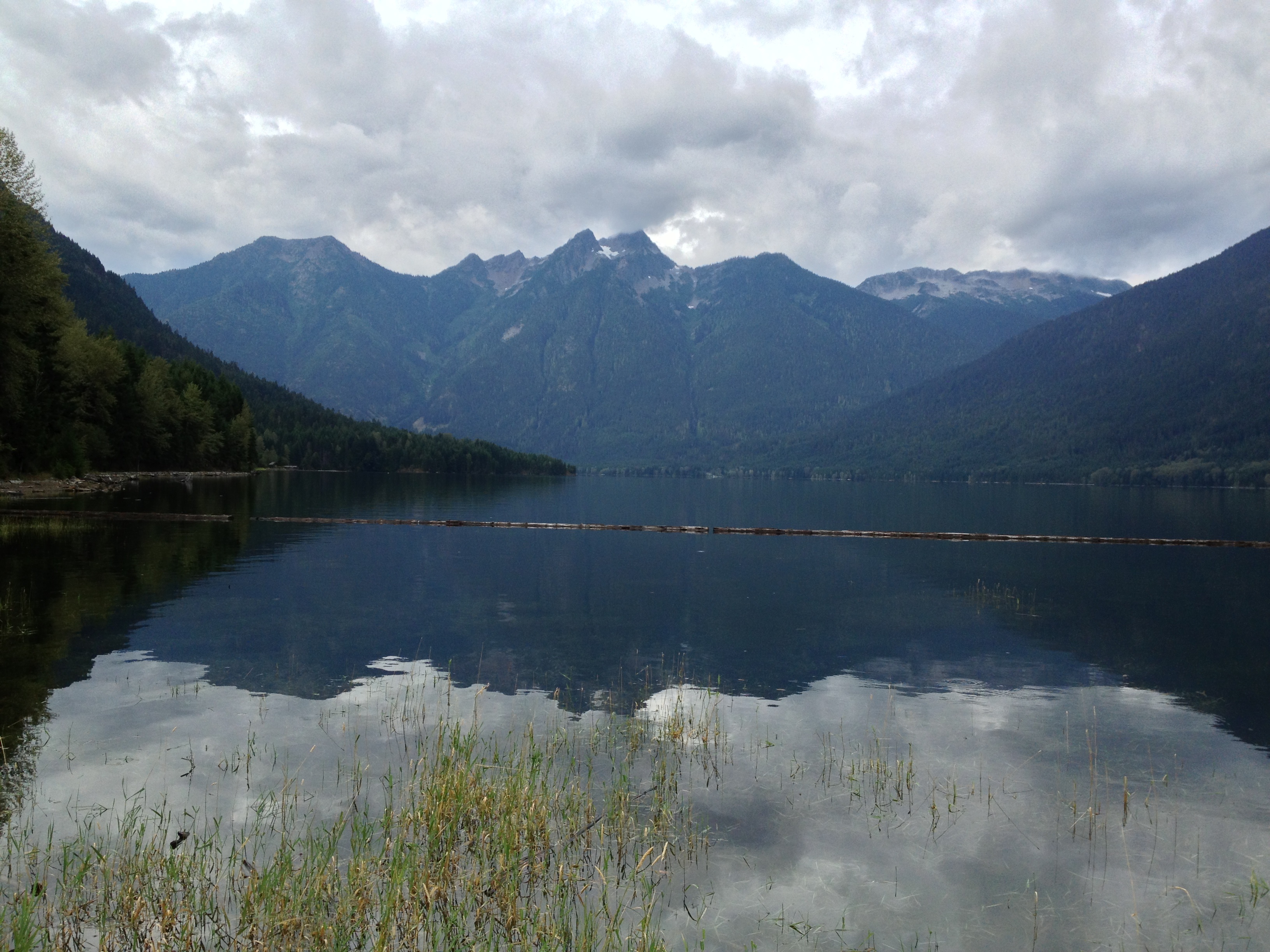
View south on Ross Lake
LV0894DSC00276.JPG

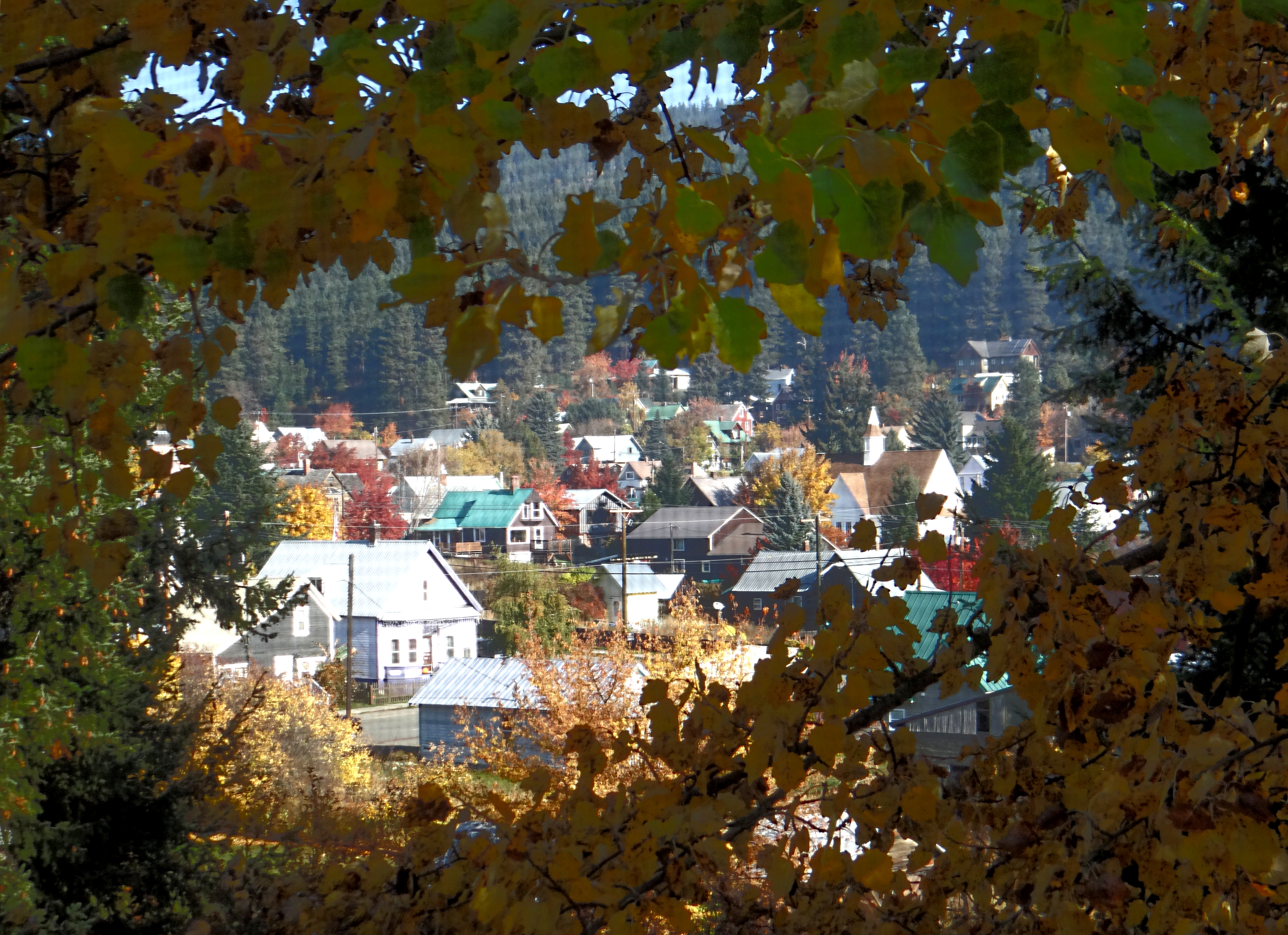
Mural in Roslyn
Lavender Lake
The Presence of January's Guest
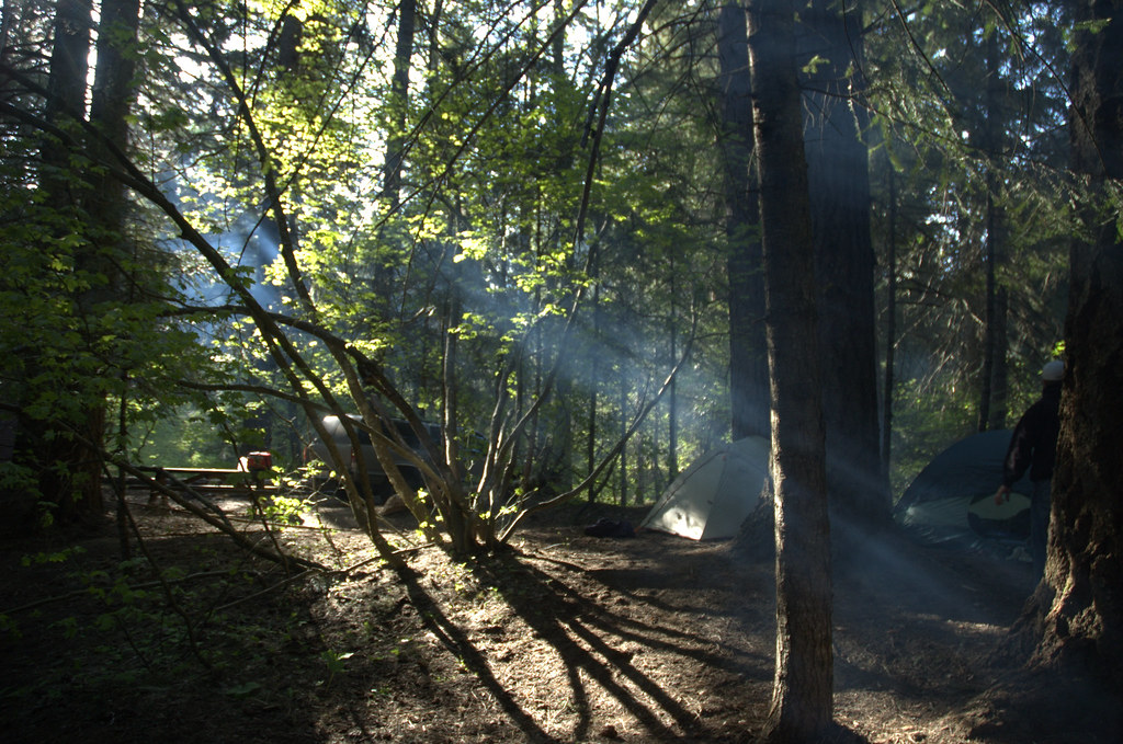
Smoky Beams

We Will All Be Changed
Friends Of Mine

Golden leaf carpet 46/52
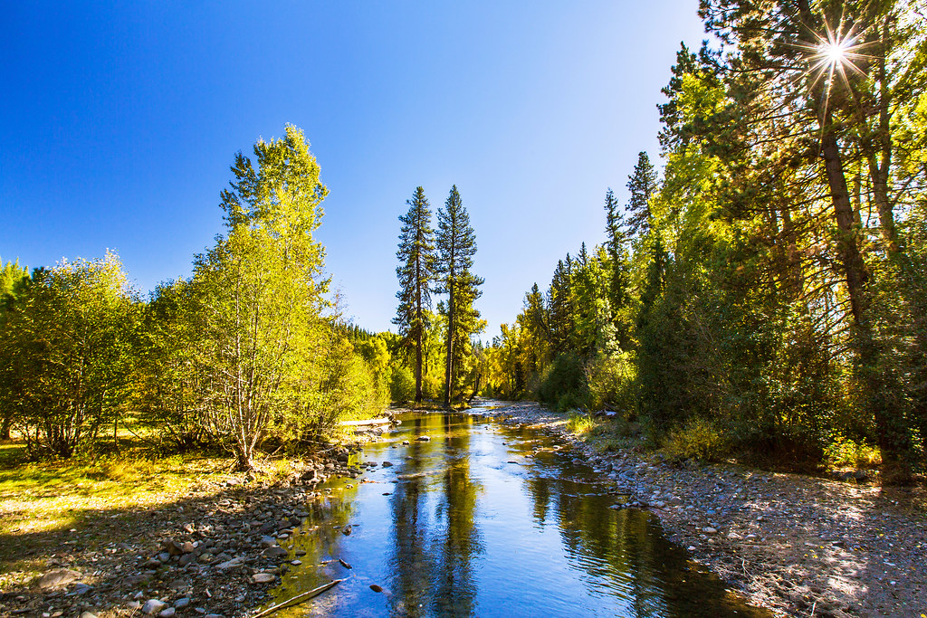
Creek Reflections

Trio of Mule Deer
Everybody's working for the weekend.
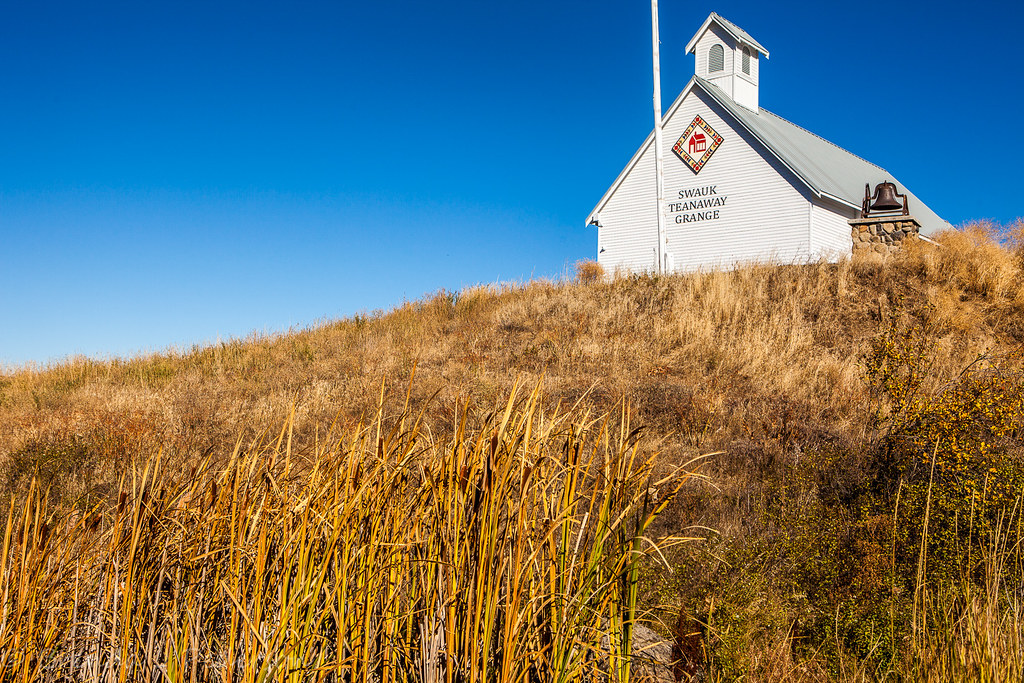
LIttle schoolhouse on the prarie
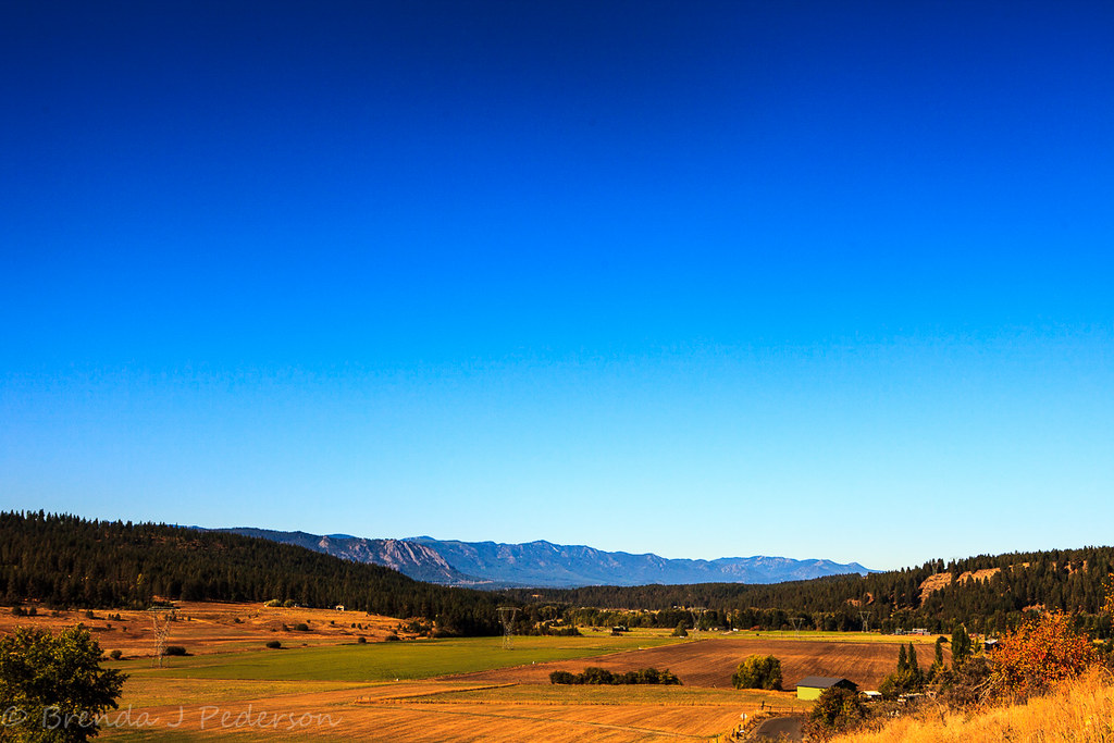
Over Hill and Dale
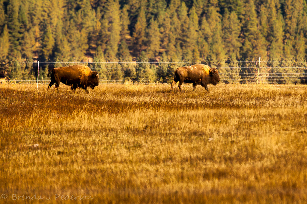
Give me a home

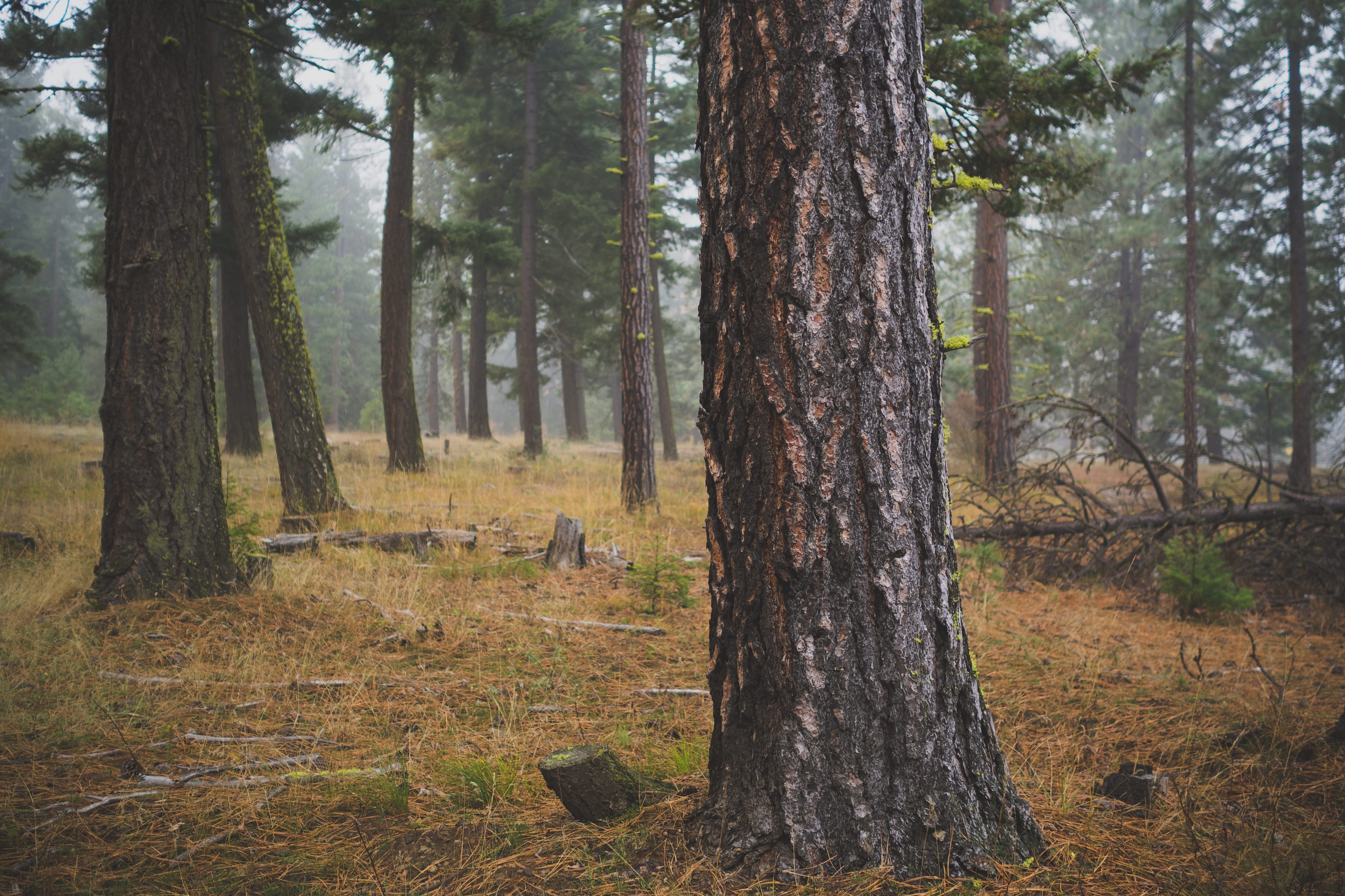
Fog on the Bend

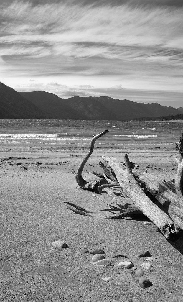
Wavy Log
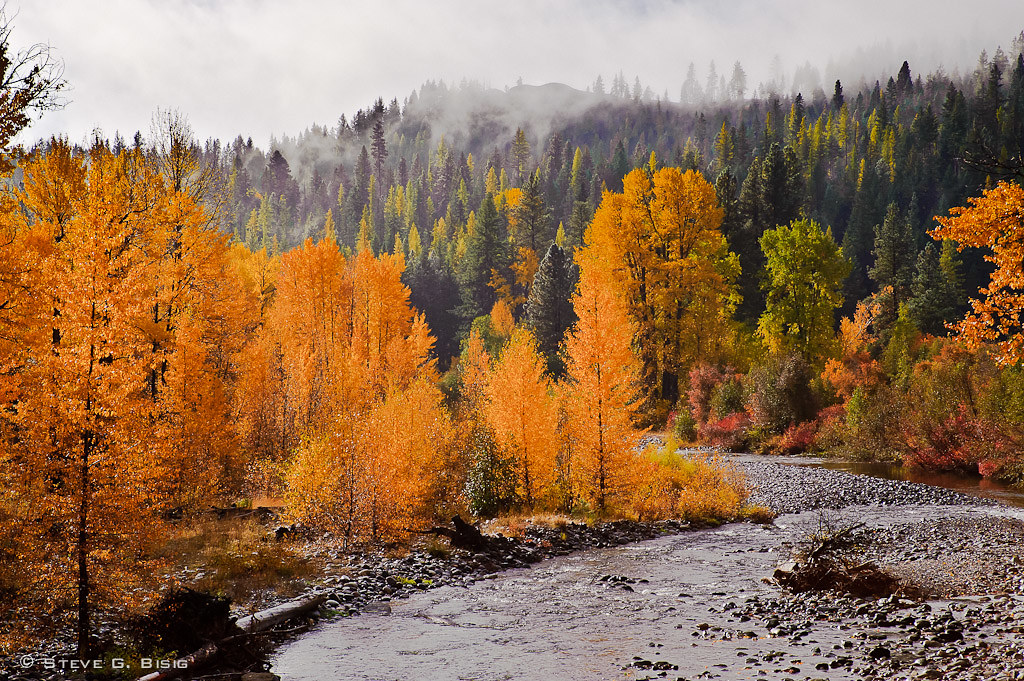
Golden Forest - North Fork Teanaway River

Bull Frog Pond, Kittitas County, Washington, October 2013

Lots of trees up here in the #pnw
Topographic Map of Kittitas County, WA, USA
Find elevation by address:

Places in Kittitas County, WA, USA:
Cle Elum
Snoqualmie Pass
Thorp
Vantage
Main St, Thorp, WA, USA
South Cle Elum
Burbank Creek Road
Kittitas
Riverside Rd, Yakima, WA, USA
Roslyn
Yakima River
Places near Kittitas County, WA, USA:
170 Casassa Rd
Sky Meadows Ranch
80 Skull Springs Rd
381 Pumphouse Hill Dr
1361 Lambert Rd
Taneum Campground
Teanaway Road North Fork
Taneum Creek
691 Morrison Canyon Ln
Red Top Lookout
Iron Peak
Earl Peak
Mineral Springs Resort
16170 Manastash Rd
Liberty
Navajo Peak
Main St, Thorp, WA, USA
Thorp
Columbia River
1450 Harkness Rd
Recent Searches:
- Elevation map of Greenland, Greenland
- Elevation of Sullivan Hill, New York, New York, 10002, USA
- Elevation of Morehead Road, Withrow Downs, Charlotte, Mecklenburg County, North Carolina, 28262, USA
- Elevation of 2800, Morehead Road, Withrow Downs, Charlotte, Mecklenburg County, North Carolina, 28262, USA
- Elevation of Yangbi Yi Autonomous County, Yunnan, China
- Elevation of Pingpo, Yangbi Yi Autonomous County, Yunnan, China
- Elevation of Mount Malong, Pingpo, Yangbi Yi Autonomous County, Yunnan, China
- Elevation map of Yongping County, Yunnan, China
- Elevation of North 8th Street, Palatka, Putnam County, Florida, 32177, USA
- Elevation of 107, Big Apple Road, East Palatka, Putnam County, Florida, 32131, USA
- Elevation of Jiezi, Chongzhou City, Sichuan, China
- Elevation of Chongzhou City, Sichuan, China
- Elevation of Huaiyuan, Chongzhou City, Sichuan, China
- Elevation of Qingxia, Chengdu, Sichuan, China
- Elevation of Corso Fratelli Cairoli, 35, Macerata MC, Italy
- Elevation of Tallevast Rd, Sarasota, FL, USA
- Elevation of 4th St E, Sonoma, CA, USA
- Elevation of Black Hollow Rd, Pennsdale, PA, USA
- Elevation of Oakland Ave, Williamsport, PA, USA
- Elevation of Pedrógão Grande, Portugal