Elevation of Thorp, WA, USA
Location: United States > Washington > Kittitas County >
Longitude: -120.671185
Latitude: 47.0679018
Elevation: 499m / 1637feet
Barometric Pressure: 0KPa
Related Photos:
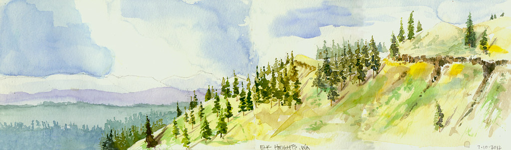
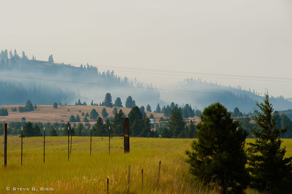
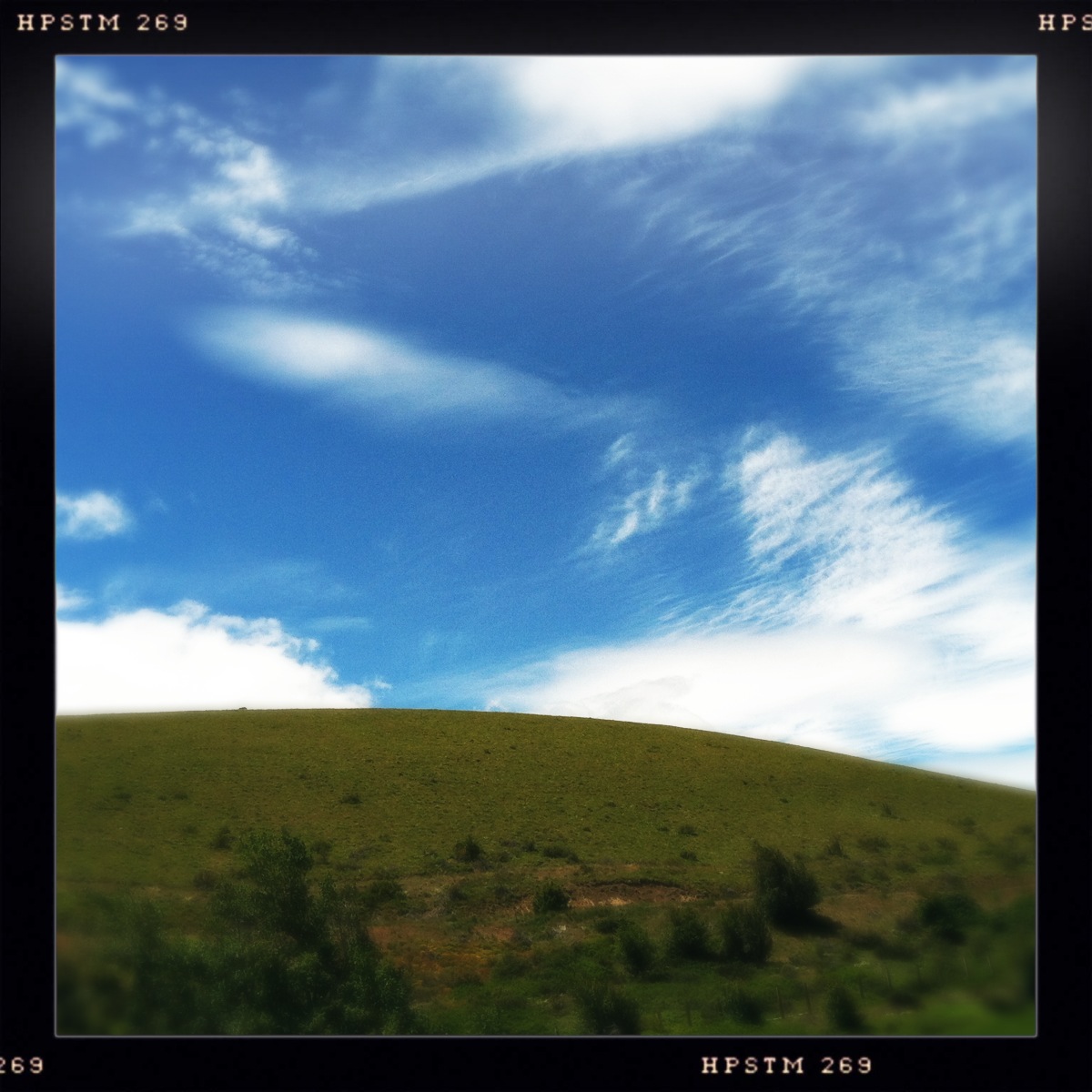
Elk Heights, Washington
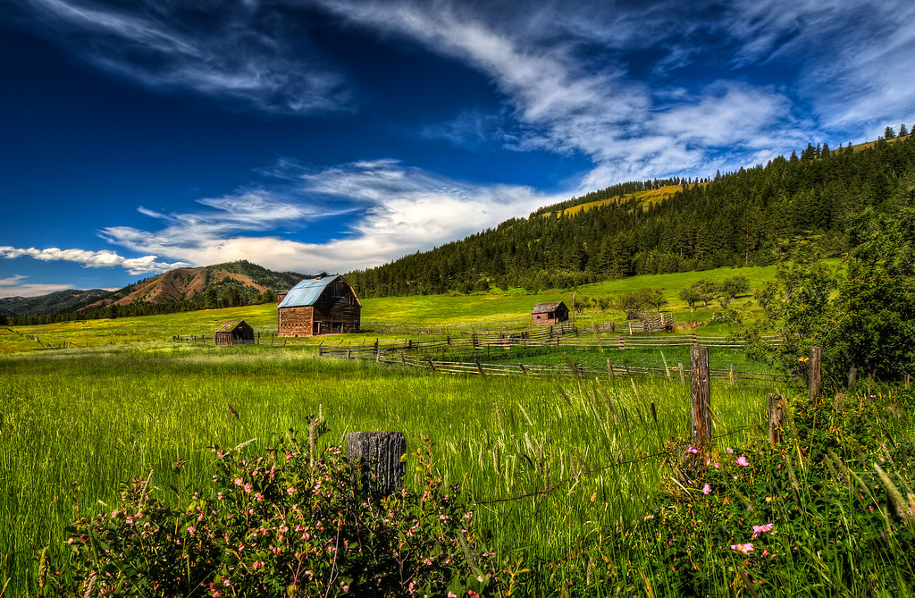
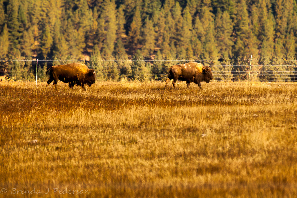
Summer Pastures HDR
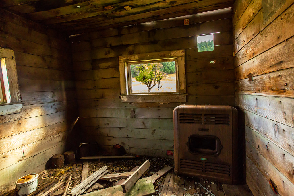
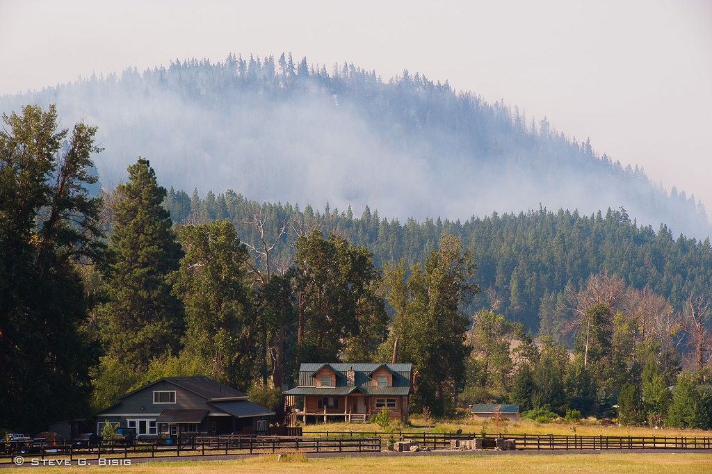
Big Stove, Little House

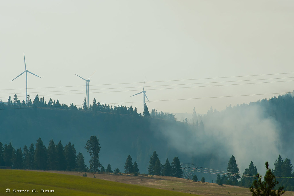
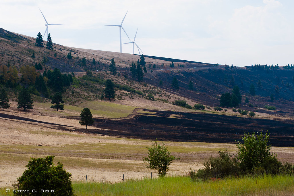
Ranch with view of windfarms and Cascade Mountain Range, Ell
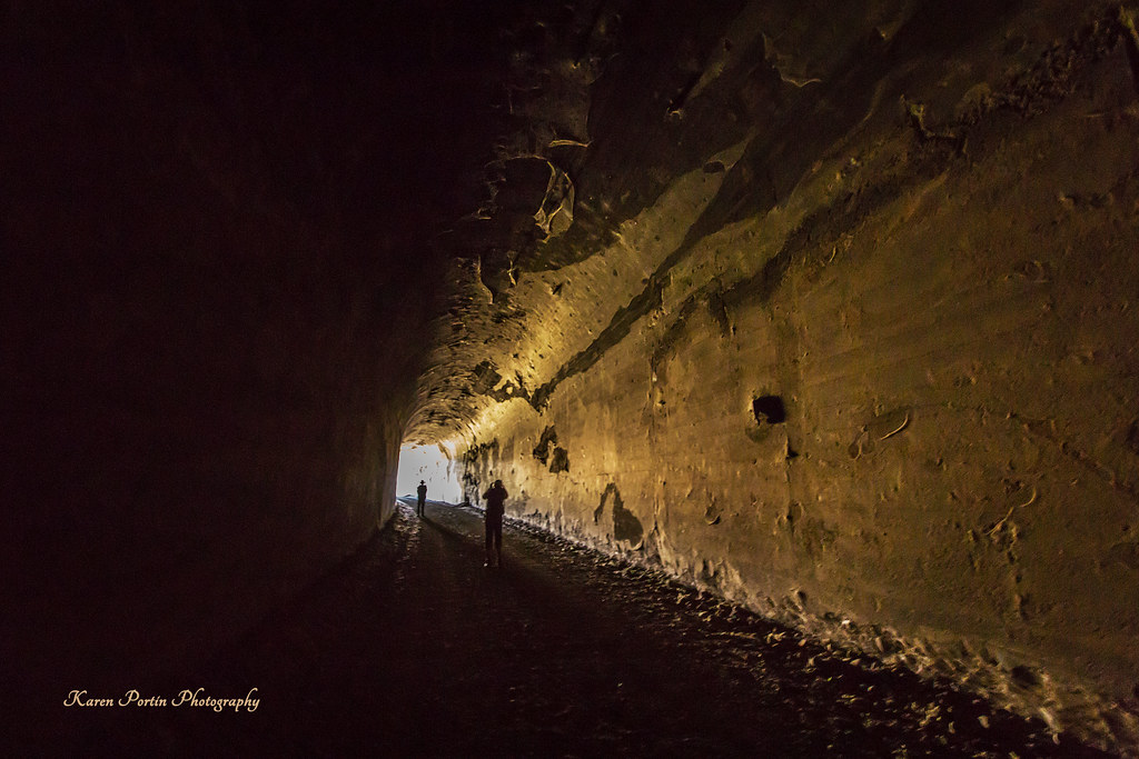
Tunnel View
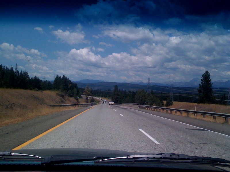
One of my favorite road views...Elk Heights WA off I90. #roadtripjones

Lunch Time View
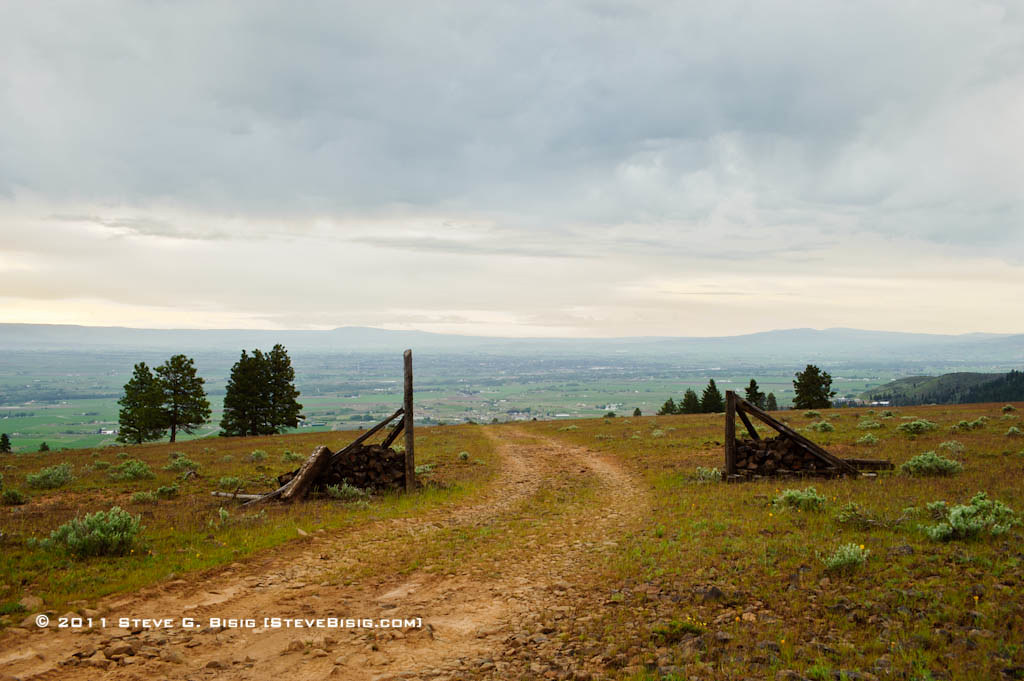
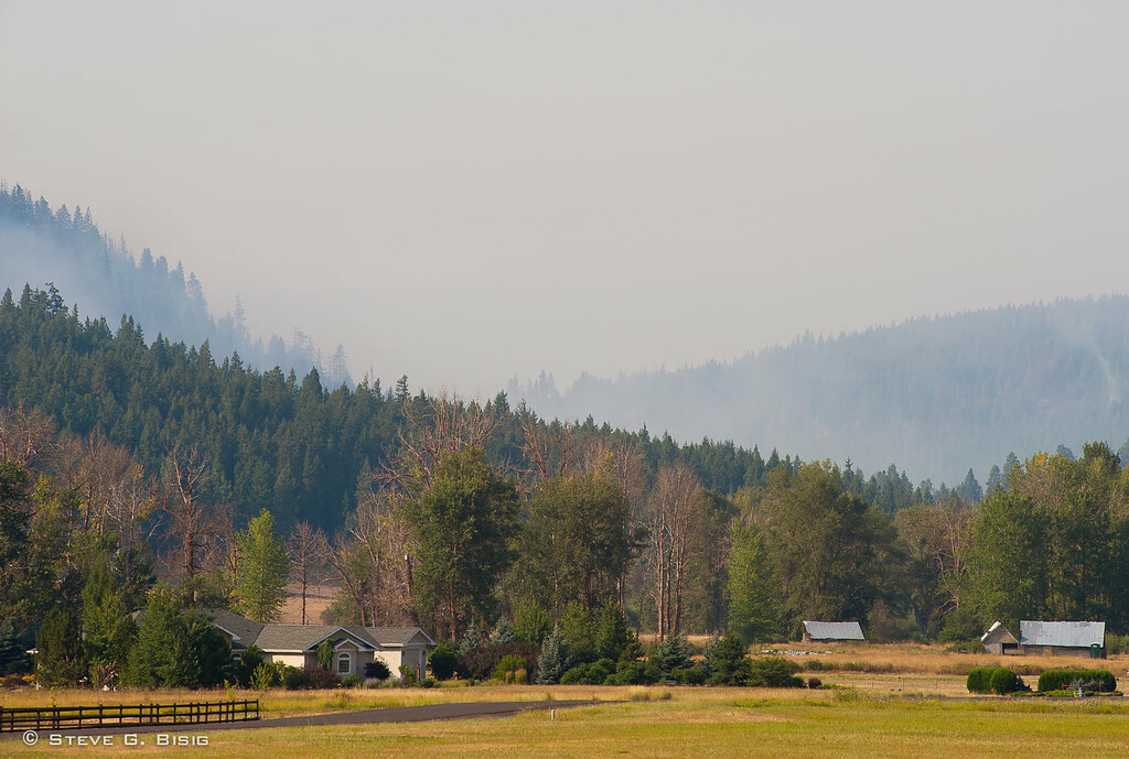
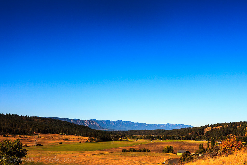
Views of Ellensburg, Kittitas County, Washington
Smoke from Fire at Hidden Valley - Taylor Bridge Fire 8/17/2012
LV0890DSC00272.JPG
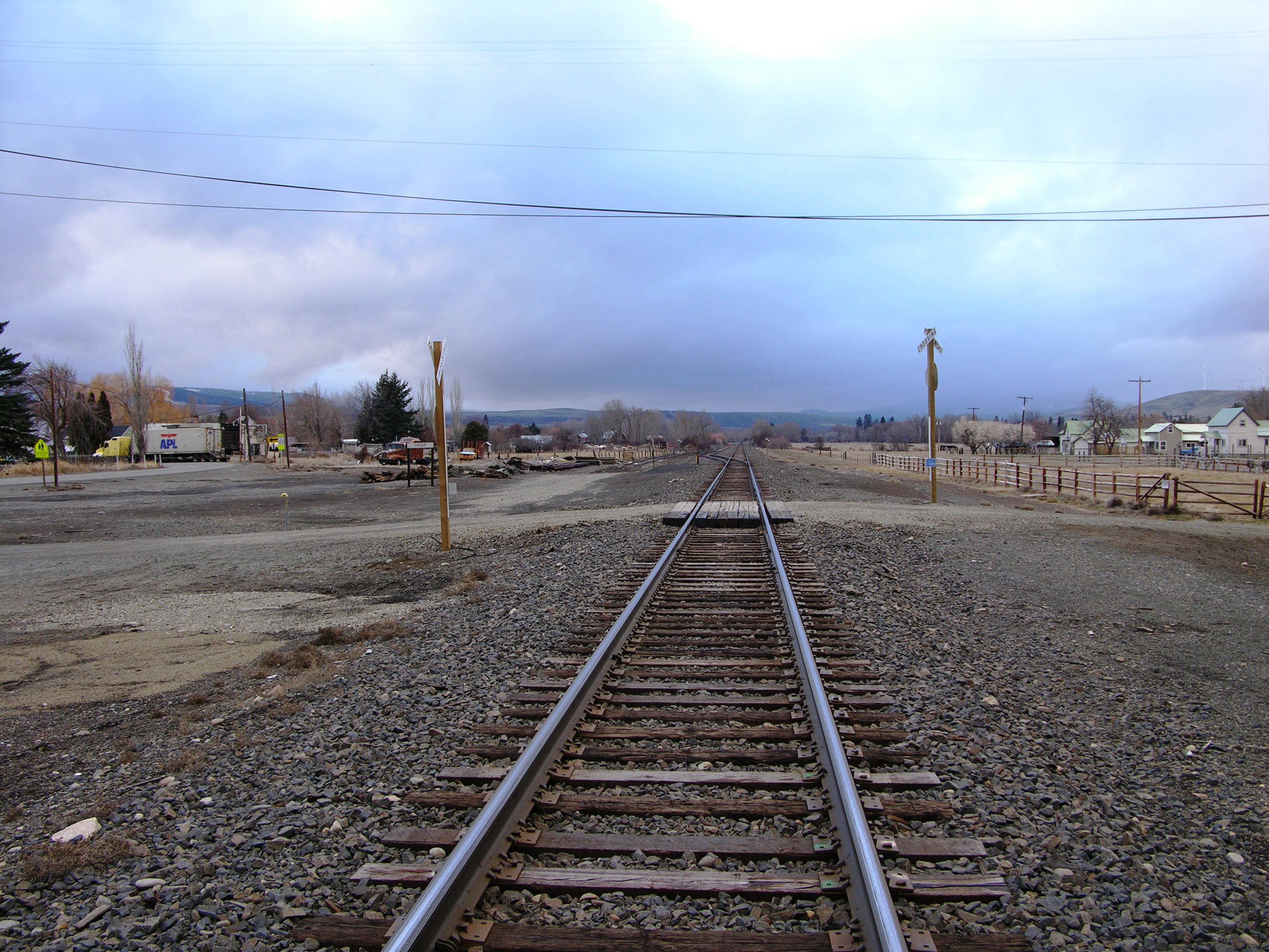
BNSF Thorp, WA. 2012
Fire Burning at Hidden Valley - Taylor Bridge Fire 8/17/2012
20080906_4447...Man talks to a painting!

Smoke from Fire Burning on Lookout Mt - Taylor Bridge Fire 8/17/2012
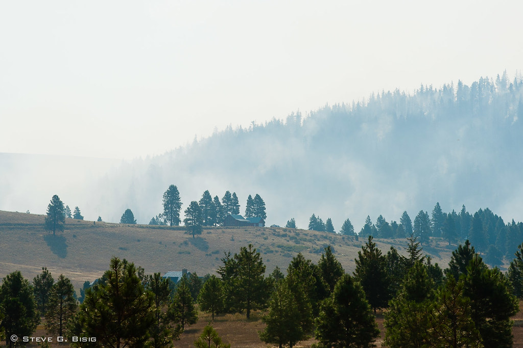
Smoke from Hidden Valley - Taylor Bridge Fire 8/17/2012
Smoke from Fire Burning near Hidden Valley - Taylor Bridge Fire 8/17/2012
Smoke from Fire Burning at Hidden Valley - Taylor Bridge Fire 8/17/2012
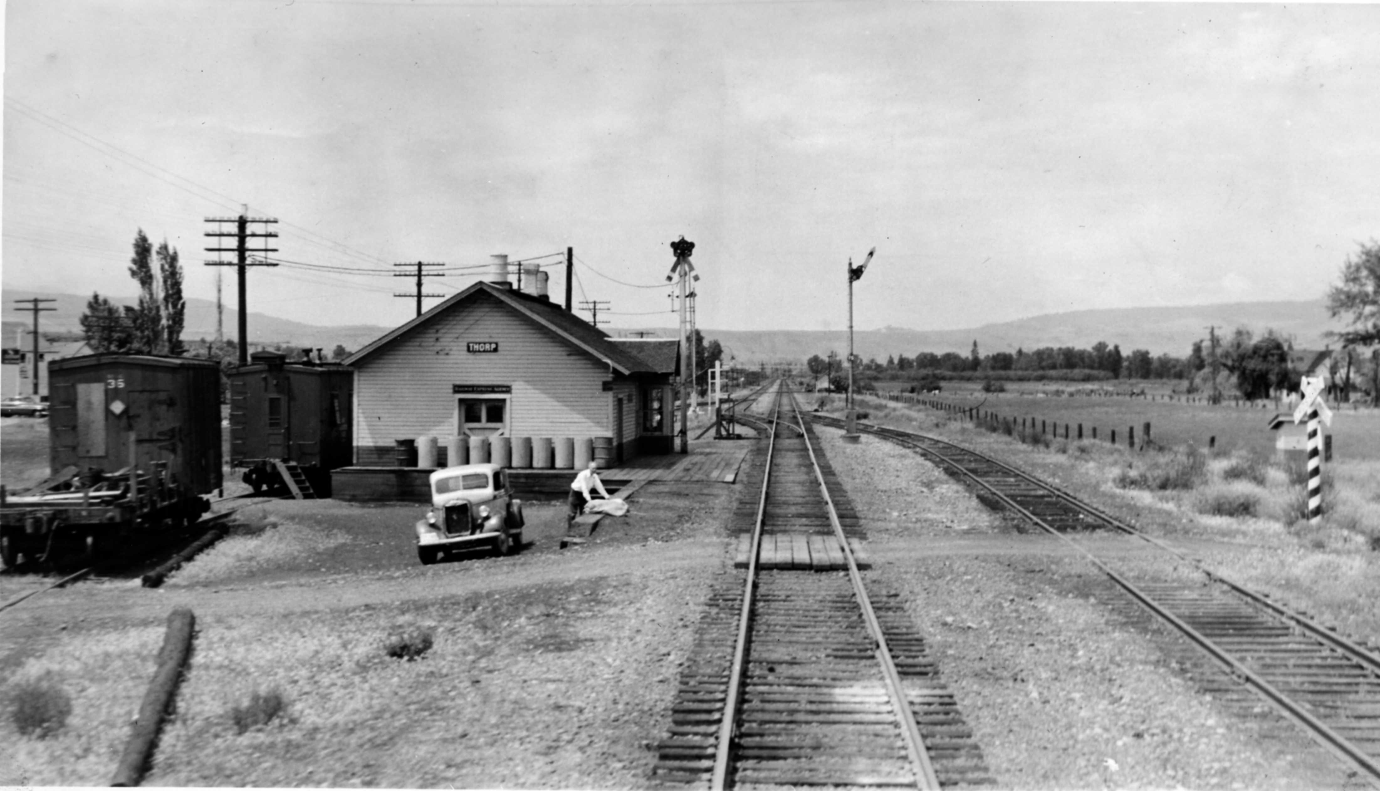
Northern Pacific Depot, Thorp, Washington, early 1950's
Area Burned Near US97 / Bettas Rd During Taylor Bridge Fire 8/19/12
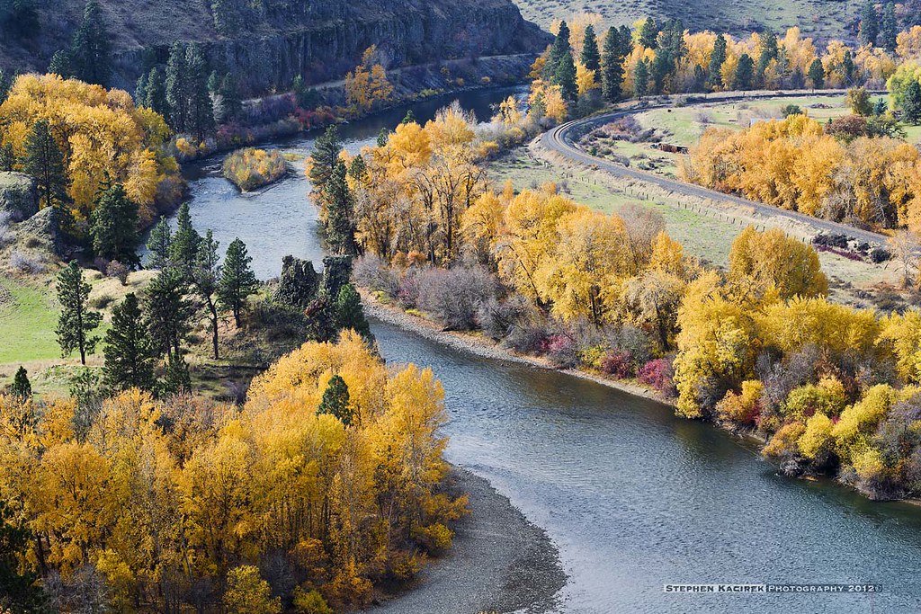
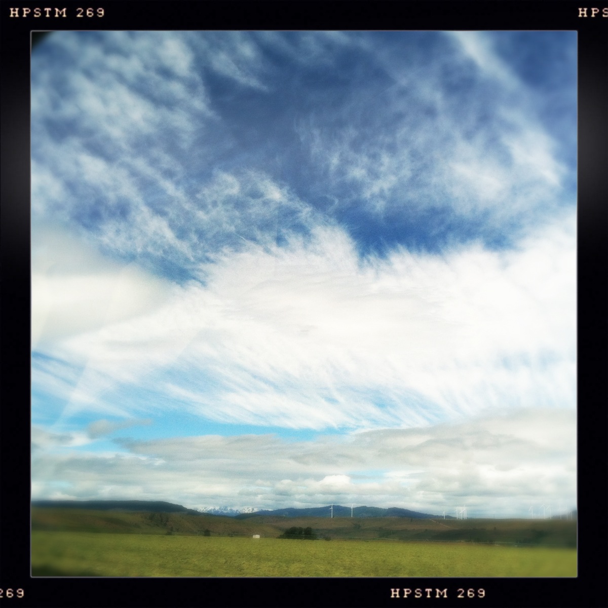
View at "Yakima River Bend and Windmills" cache
View at "Where Time Stands Still" cache
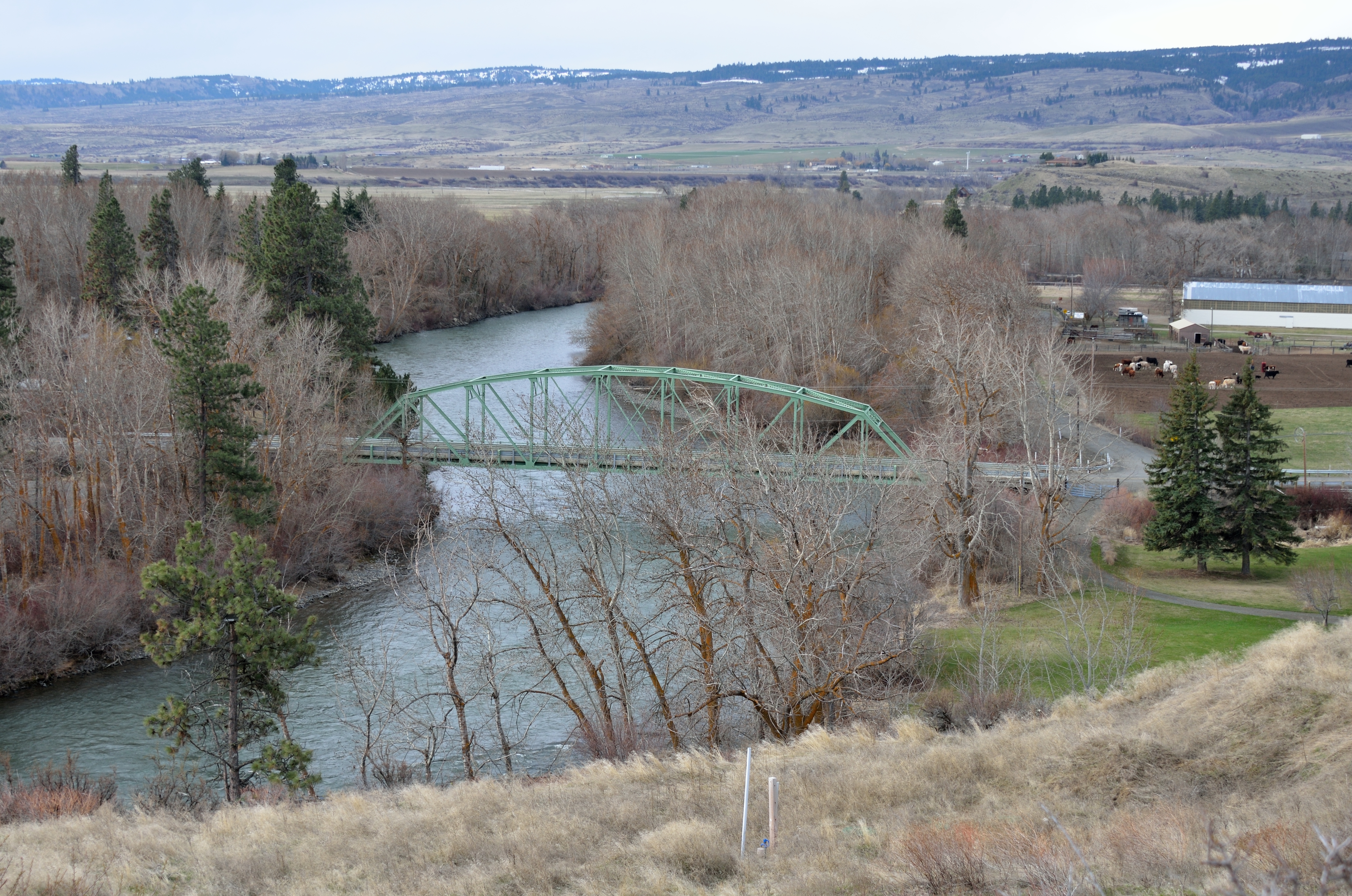
Yakima River Sunbreak
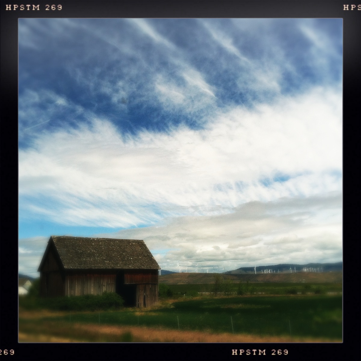
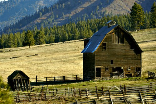
Ellensburg Barn 2
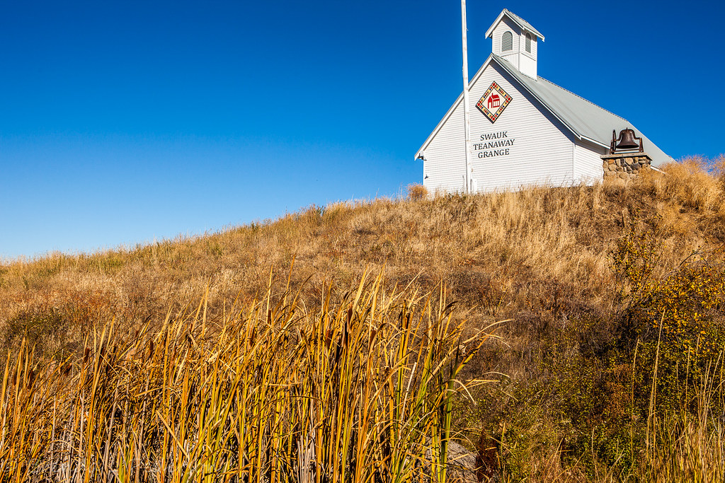
LIttle schoolhouse on the prarie
Over Hill and Dale
Give me a home
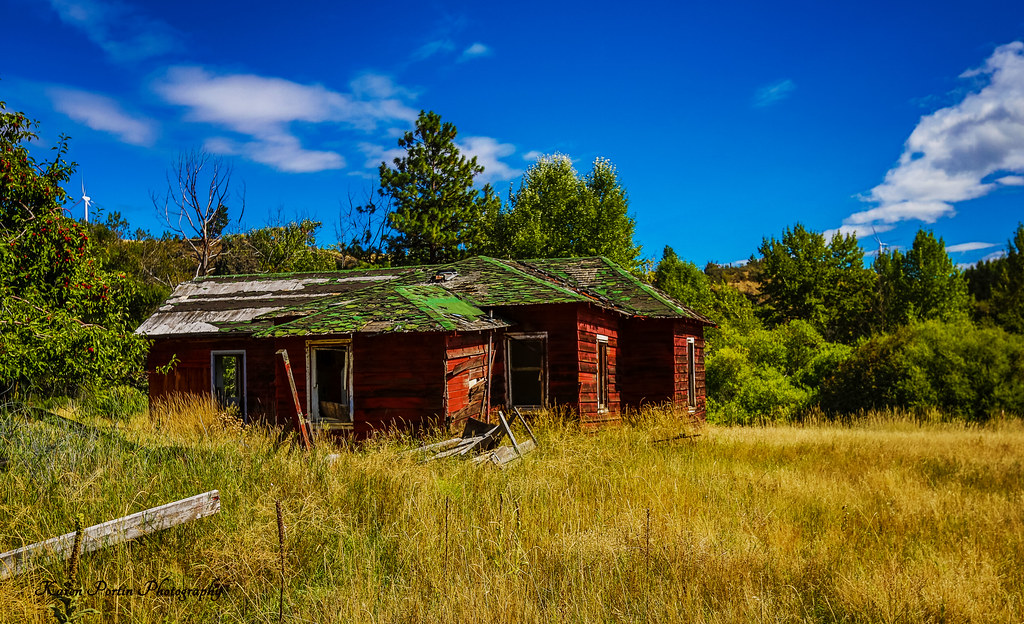
A Dream Gone Bad
Ridge and Sky

In the distance.
IMG00134-20100102-1121

Gray Hairstreak (Strymon melinus setonia)
Old Barn/ Windmill Garden
Canola fields
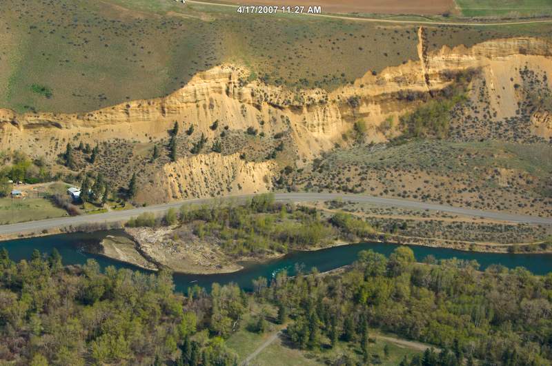
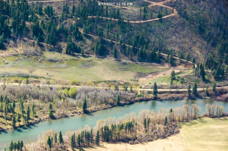
070417_23535.jpg

070417_23622.jpg
The Barn
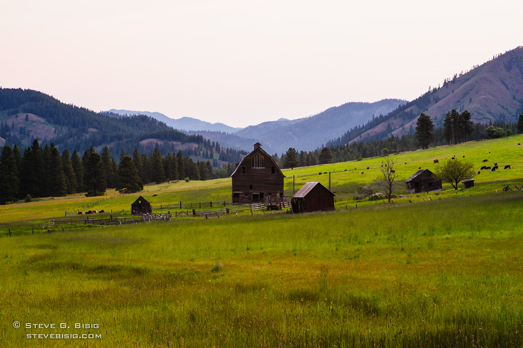
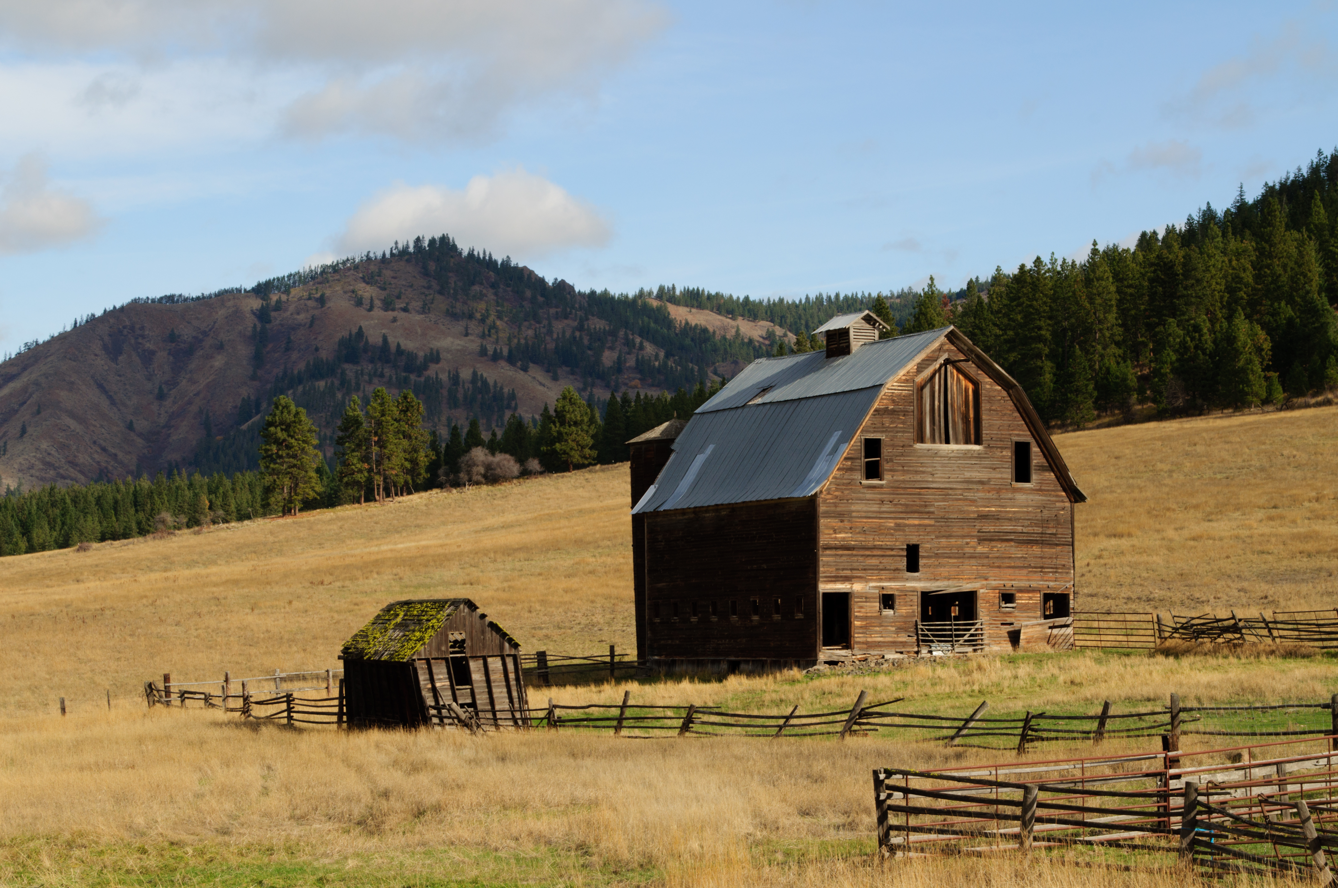
Old Farm, Kittitas County, Washington (Jun 2011)
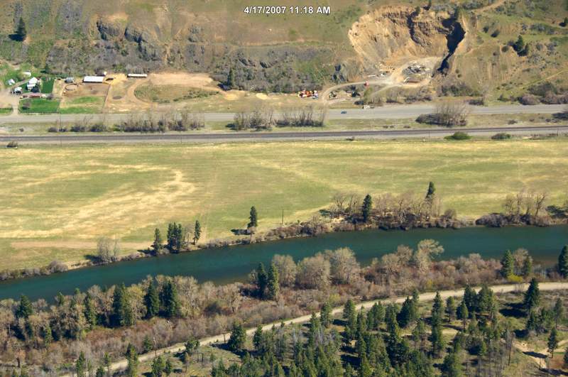
070417_23478.jpg

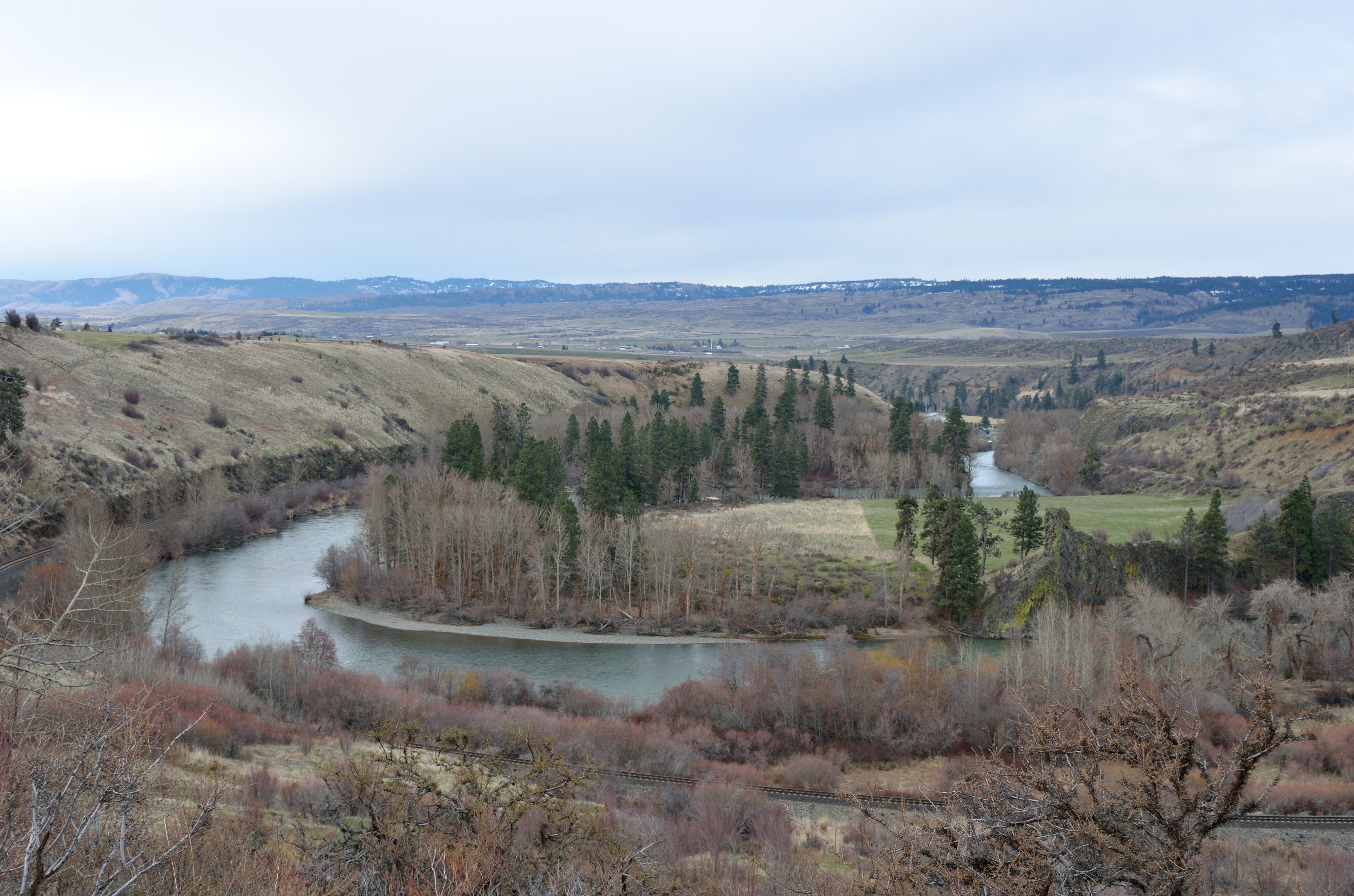
Horseshoe Bend in the Upper Yakima River Canyon - Kittitas County, Washington

For the love of Kittitas Valley
070417_23629.jpg
Topographic Map of Thorp, WA, USA
Find elevation by address:

Places in Thorp, WA, USA:
Places near Thorp, WA, USA:
Main St, Thorp, WA, USA
10350 Us-97
440 Marion Canyon Rd
463 Pheasant Ln
1917 West Peakview Drive
2101 W Dolarway Rd
691 Morrison Canyon Ln
141 Gold Star Ln
Lower Kittitas County District Court
Ellensburg
209 N Main St
Brick Road Books
807 E White Birch Ave
104 N Ruby St
16170 Manastash Rd
Taneum Creek
603 E 3rd Ave
801 E 5th Ave
801 E 4th Ave
2060 Vantage Hwy
Recent Searches:
- Elevation map of Greenland, Greenland
- Elevation of Sullivan Hill, New York, New York, 10002, USA
- Elevation of Morehead Road, Withrow Downs, Charlotte, Mecklenburg County, North Carolina, 28262, USA
- Elevation of 2800, Morehead Road, Withrow Downs, Charlotte, Mecklenburg County, North Carolina, 28262, USA
- Elevation of Yangbi Yi Autonomous County, Yunnan, China
- Elevation of Pingpo, Yangbi Yi Autonomous County, Yunnan, China
- Elevation of Mount Malong, Pingpo, Yangbi Yi Autonomous County, Yunnan, China
- Elevation map of Yongping County, Yunnan, China
- Elevation of North 8th Street, Palatka, Putnam County, Florida, 32177, USA
- Elevation of 107, Big Apple Road, East Palatka, Putnam County, Florida, 32131, USA
- Elevation of Jiezi, Chongzhou City, Sichuan, China
- Elevation of Chongzhou City, Sichuan, China
- Elevation of Huaiyuan, Chongzhou City, Sichuan, China
- Elevation of Qingxia, Chengdu, Sichuan, China
- Elevation of Corso Fratelli Cairoli, 35, Macerata MC, Italy
- Elevation of Tallevast Rd, Sarasota, FL, USA
- Elevation of 4th St E, Sonoma, CA, USA
- Elevation of Black Hollow Rd, Pennsdale, PA, USA
- Elevation of Oakland Ave, Williamsport, PA, USA
- Elevation of Pedrógão Grande, Portugal