Elevation of Kirksville Rd, Knights Landing, CA, USA
Location: United States > California > Sutter County > Knights Landing >
Longitude: -121.79213
Latitude: 38.90904
Elevation: 11m / 36feet
Barometric Pressure: 101KPa
Elevation Map:
Satellite Map:
Related Photos:
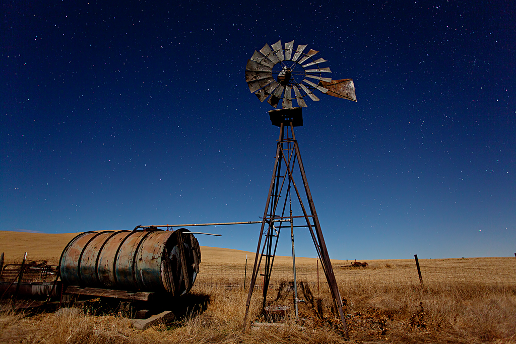
Waiting for Wind: Dunnigan Hills, California

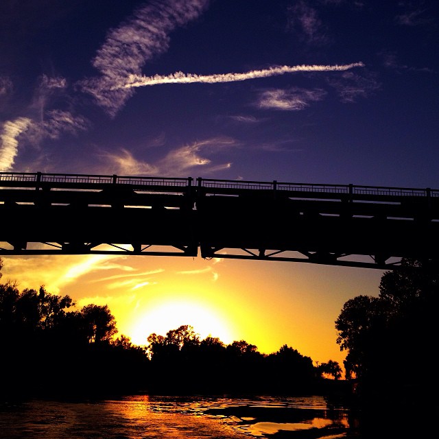
Knights Landing Bridge
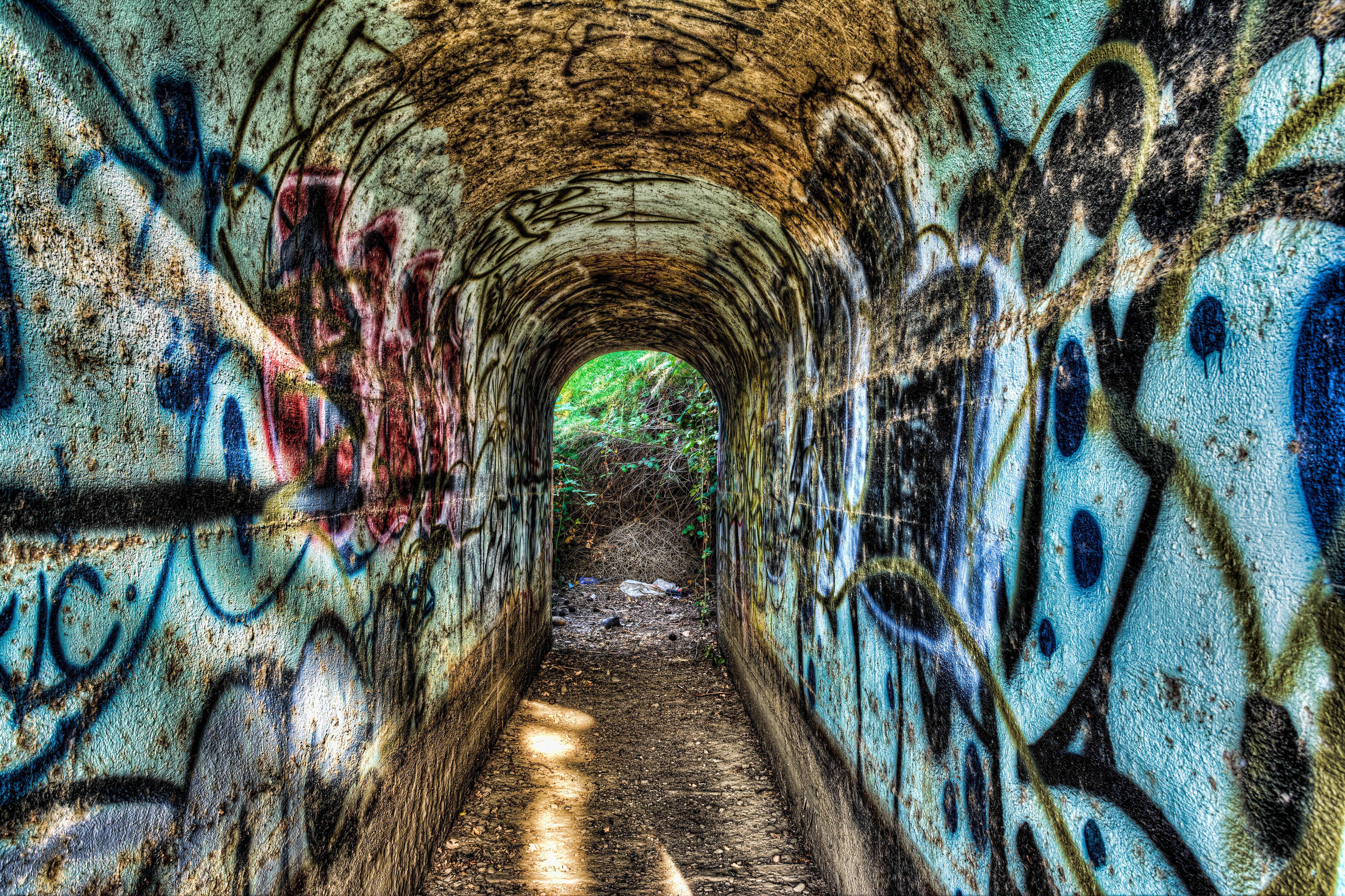
Tunnel-02
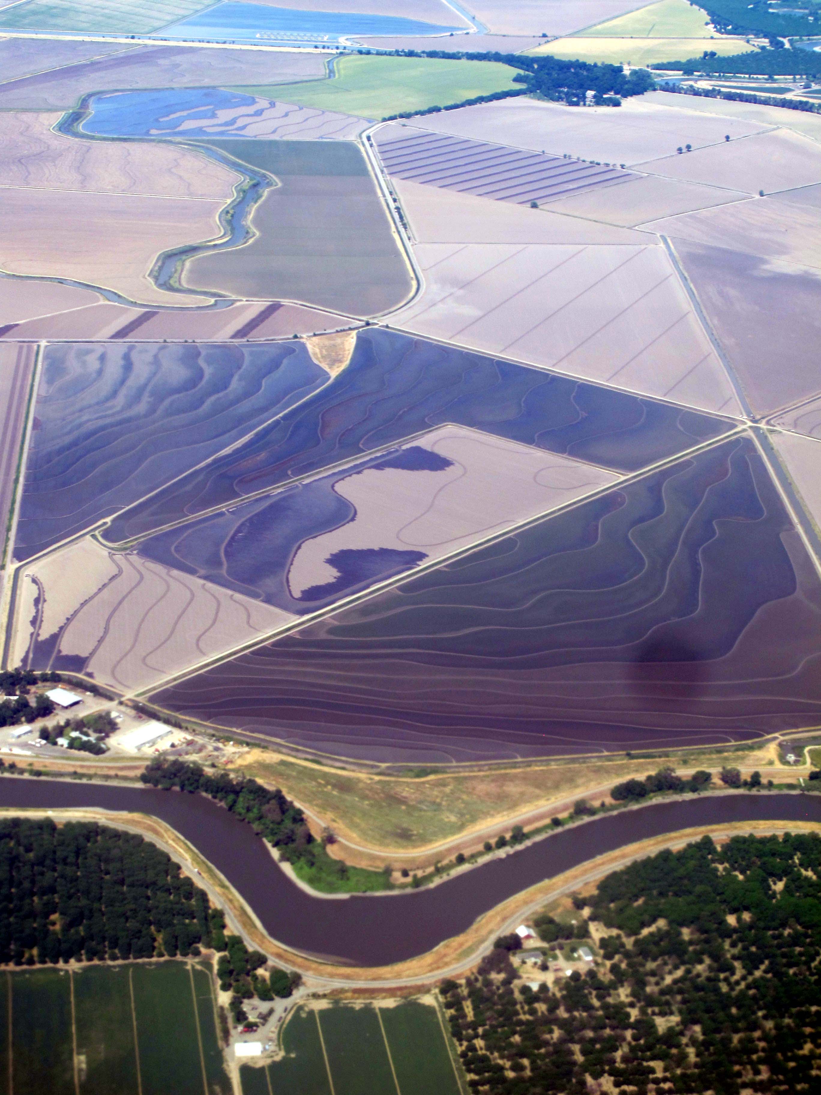
Fourmile Bend, Sacramento River
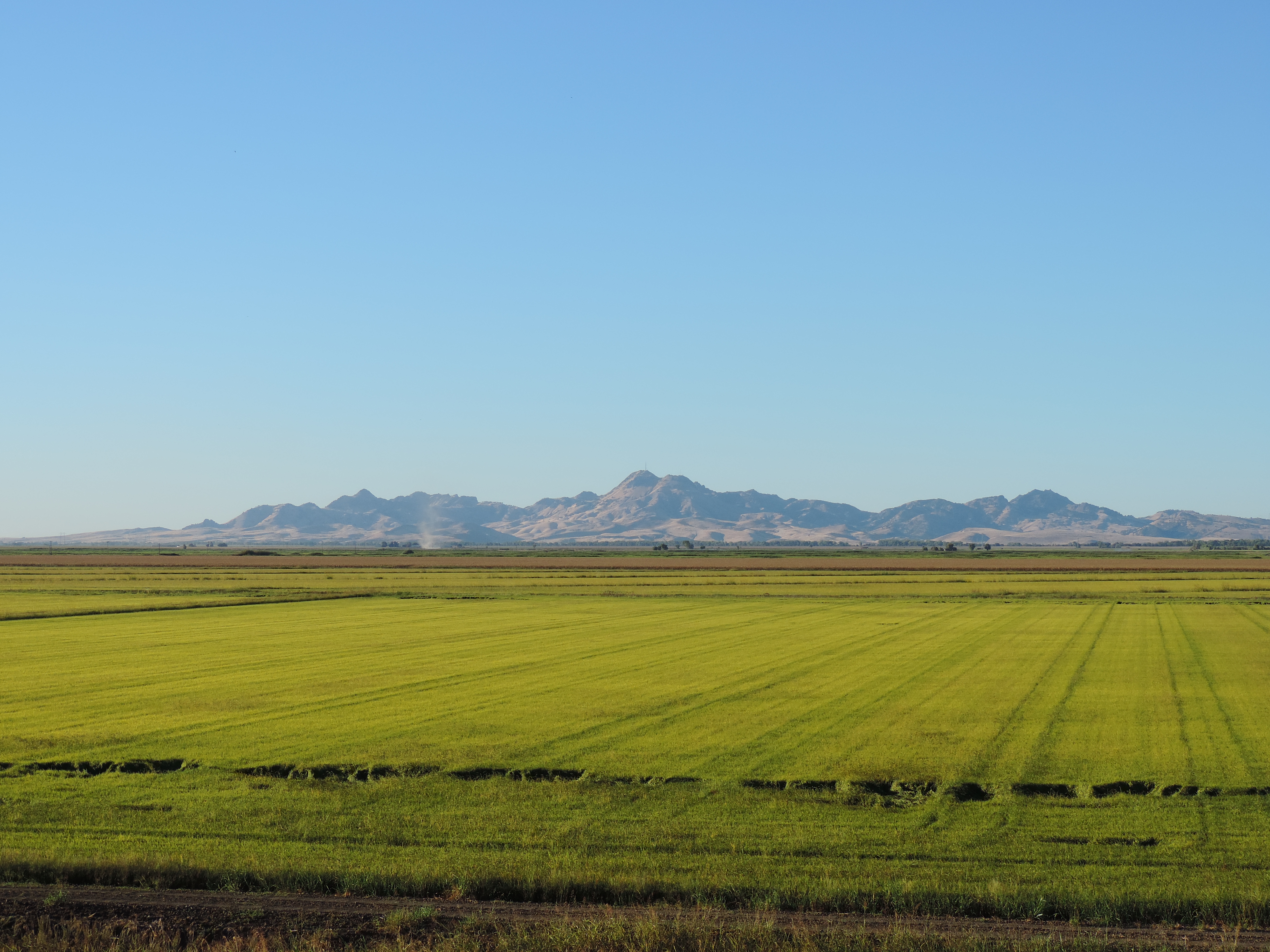
Sutter Buttes from Oswald Road, Sutter County, CA

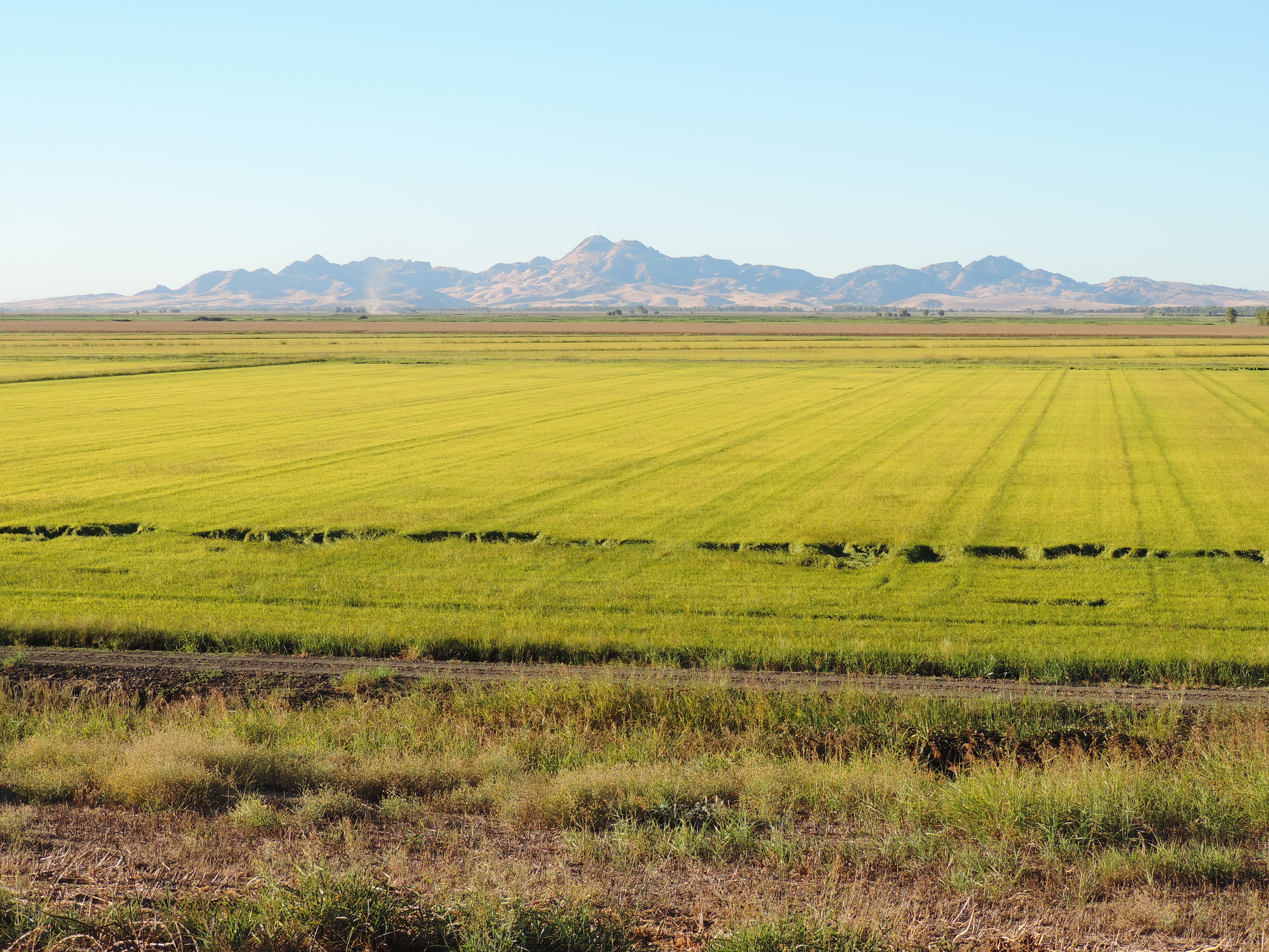
Knights Landing
April Showers
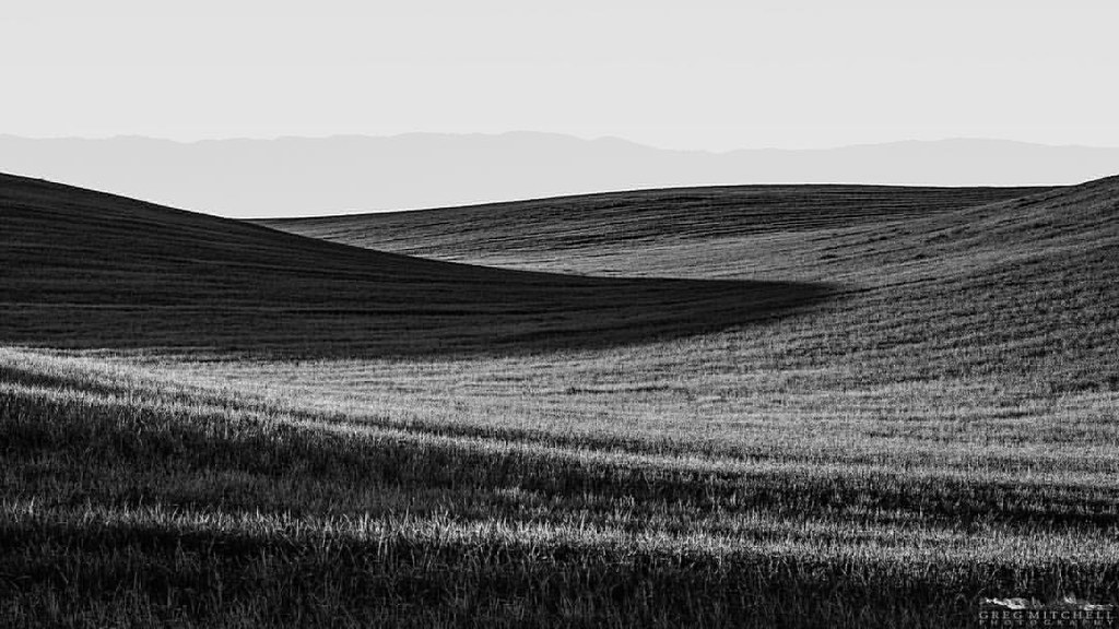
#silvershadow #limitededitionphotograph #blackandwhite #monochrome #visityolo #visitcalifornia #yolocounty #dunniganhills #ignorcal #916igers #gregmitchellphotography #tactilephoto
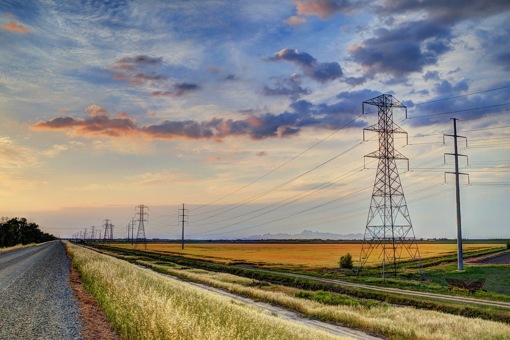
Country Road
#Sunset under the bridge near #Sacramento, #California . #cruise #relax #water #magichour

Great #sunset & #magichour on the boat tonight. Good times with friends on the river. #relax #cheers #travel
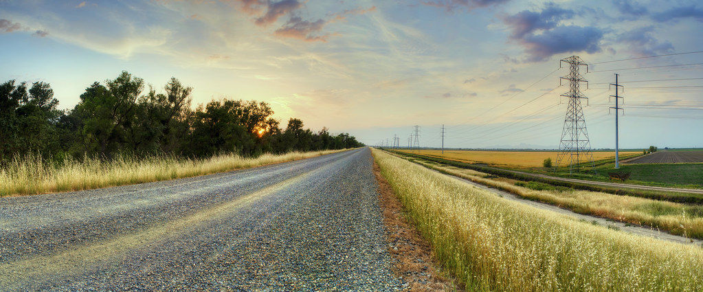
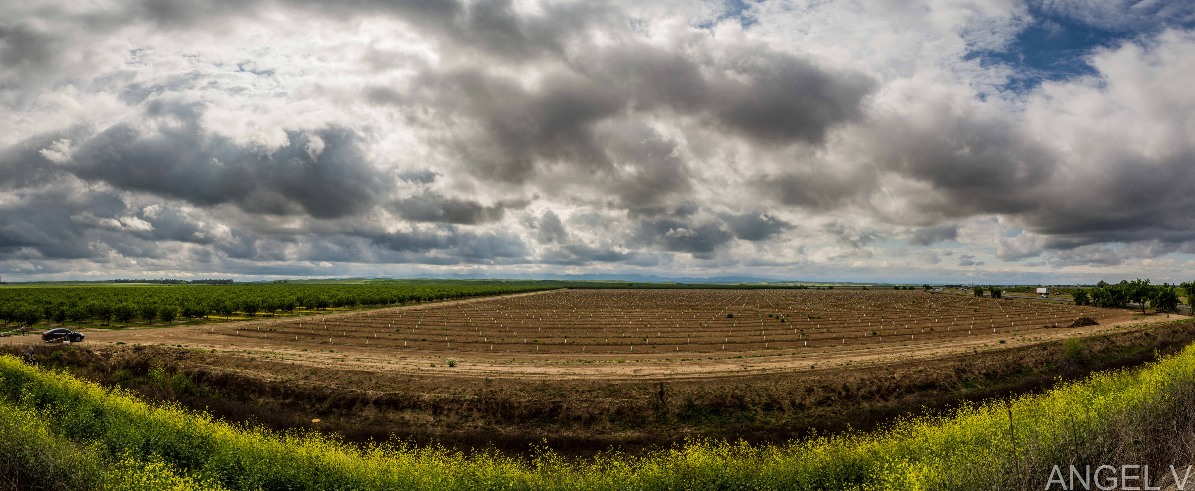
Country Road (Panoramic)
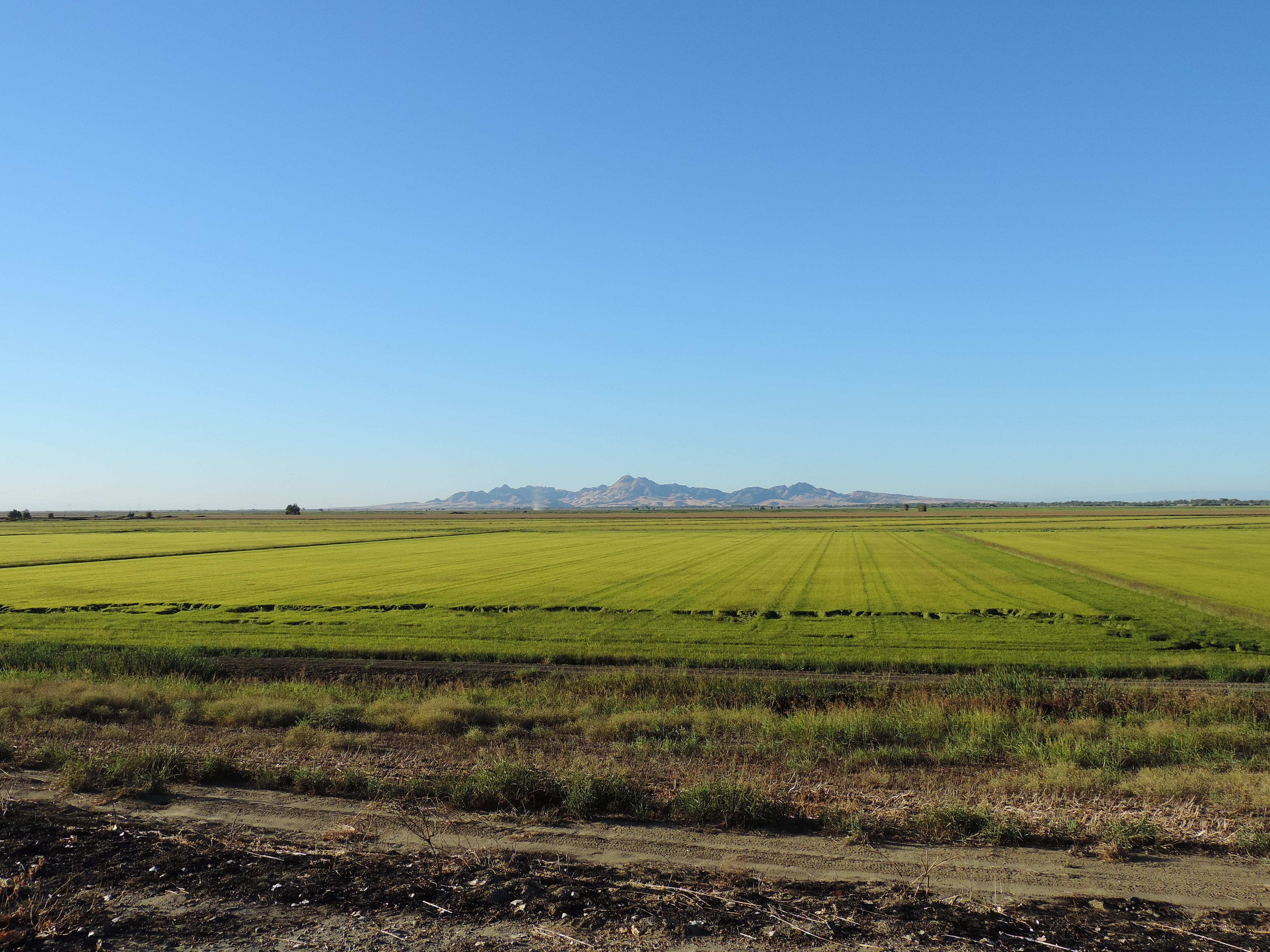
Sutter Buttes from Oswald Road, Sutter County, CA

Country Road II
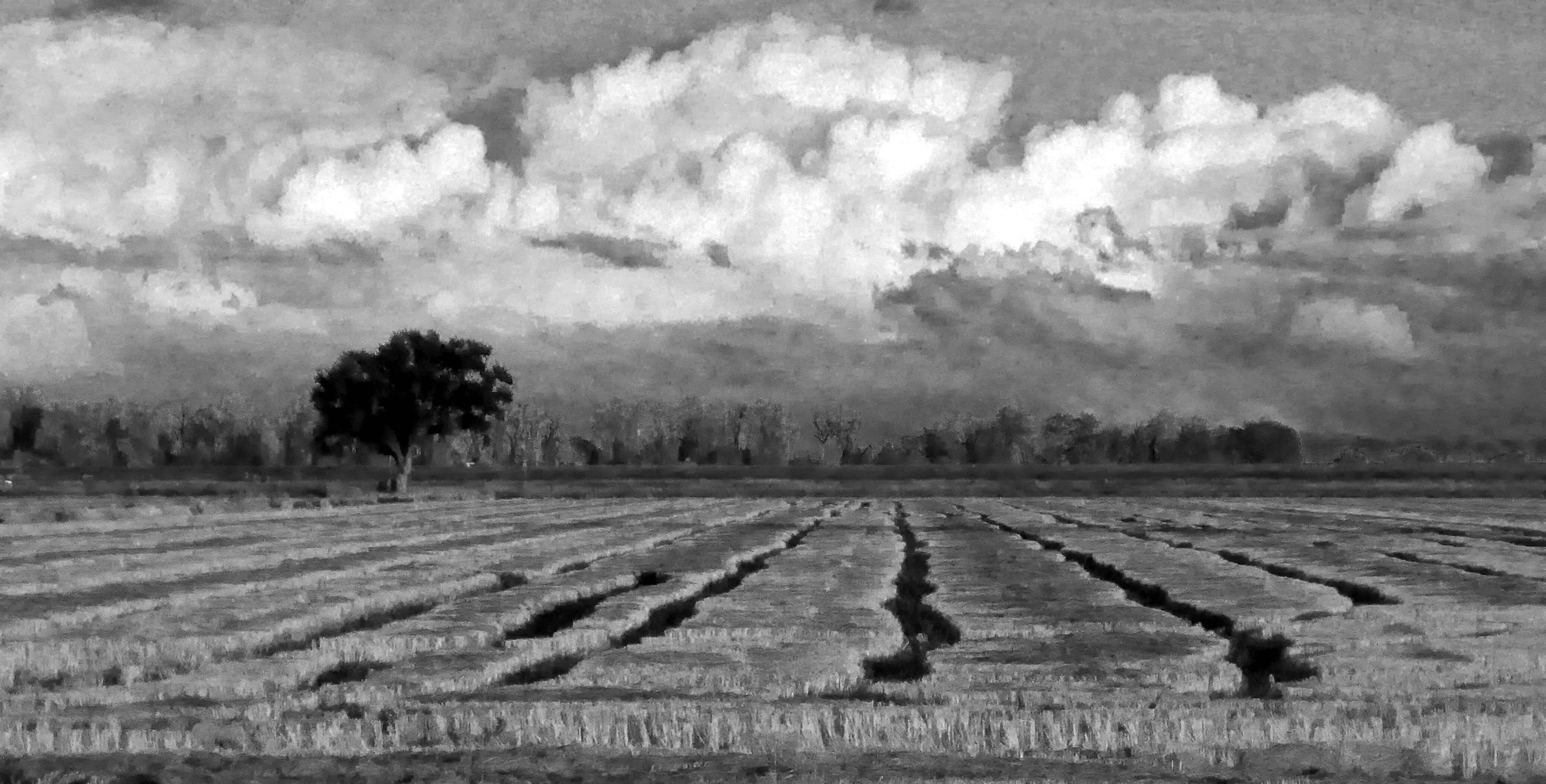
P1040004 Sunset field_Colusa County Road 45_Dec 4 2014
Sutter Buttes from Oswald Road, Sutter County, CA

UC Davis Golf- Travel to Washington

Sunflowers after Sunset
Topographic Map of Kirksville Rd, Knights Landing, CA, USA
Find elevation by address:

Places near Kirksville Rd, Knights Landing, CA, USA:
Cranmore Rd, Knights Landing, CA, USA
Millers Landing Rd, Meridian, CA, USA
Robbins
Del Monte Ave, Robbins, CA, USA
8 Wilson Bend Rd, Meridian, CA, USA
Progress Rd, Meridian, CA, USA
Knights Landing
Marty Street
Zamora
CR 99W, Yolo, CA, USA
9305 Schlagle Rd
Sutter County
8639 Hobbs Rd
37375 Co Rd 17
Yolo
1st St, Yolo, CA, USA
Dunnigan
Yolo County
Major Rd, Yuba City, CA, USA
Progress Rd, Meridian, CA, USA
Recent Searches:
- Elevation of Corso Fratelli Cairoli, 35, Macerata MC, Italy
- Elevation of Tallevast Rd, Sarasota, FL, USA
- Elevation of 4th St E, Sonoma, CA, USA
- Elevation of Black Hollow Rd, Pennsdale, PA, USA
- Elevation of Oakland Ave, Williamsport, PA, USA
- Elevation of Pedrógão Grande, Portugal
- Elevation of Klee Dr, Martinsburg, WV, USA
- Elevation of Via Roma, Pieranica CR, Italy
- Elevation of Tavkvetili Mountain, Georgia
- Elevation of Hartfords Bluff Cir, Mt Pleasant, SC, USA