Elevation of Kings Valley, OR, USA
Location: United States > Oregon > Benton County >
Longitude: -123.43454
Latitude: 44.7067856
Elevation: 95m / 312feet
Barometric Pressure: 100KPa
Elevation Map:
Satellite Map:
Related Photos:
Mary's Peak at Sunset
DSC04897 (2) Rear View...
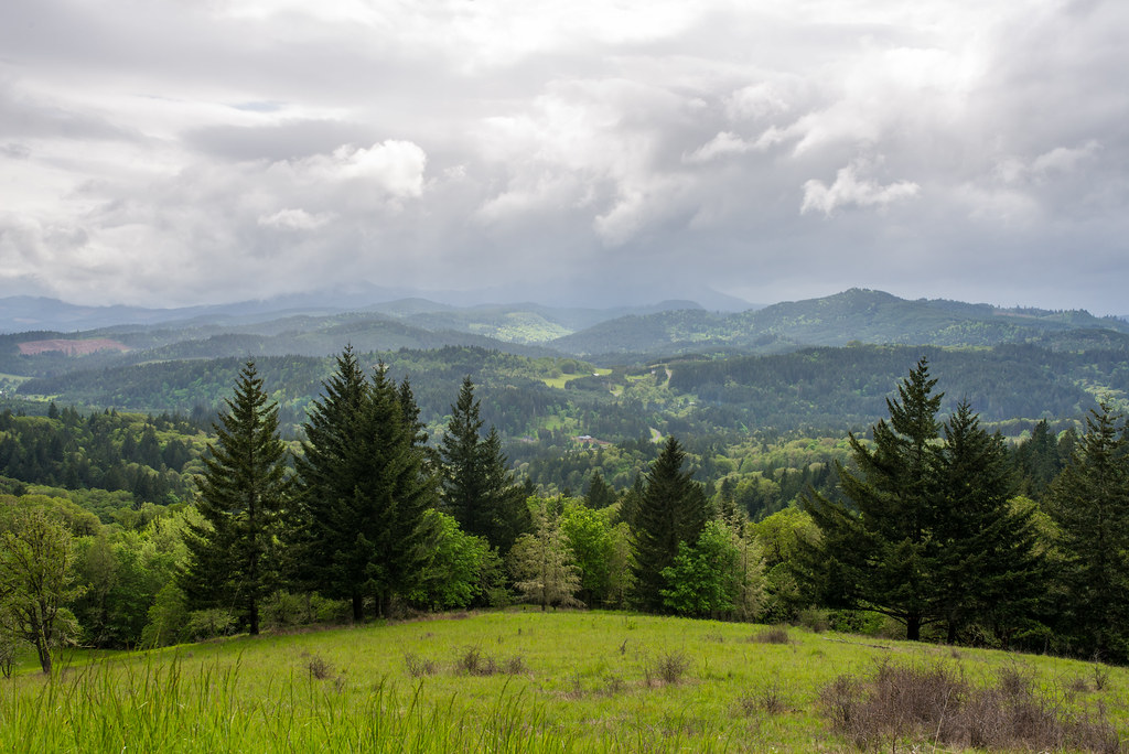
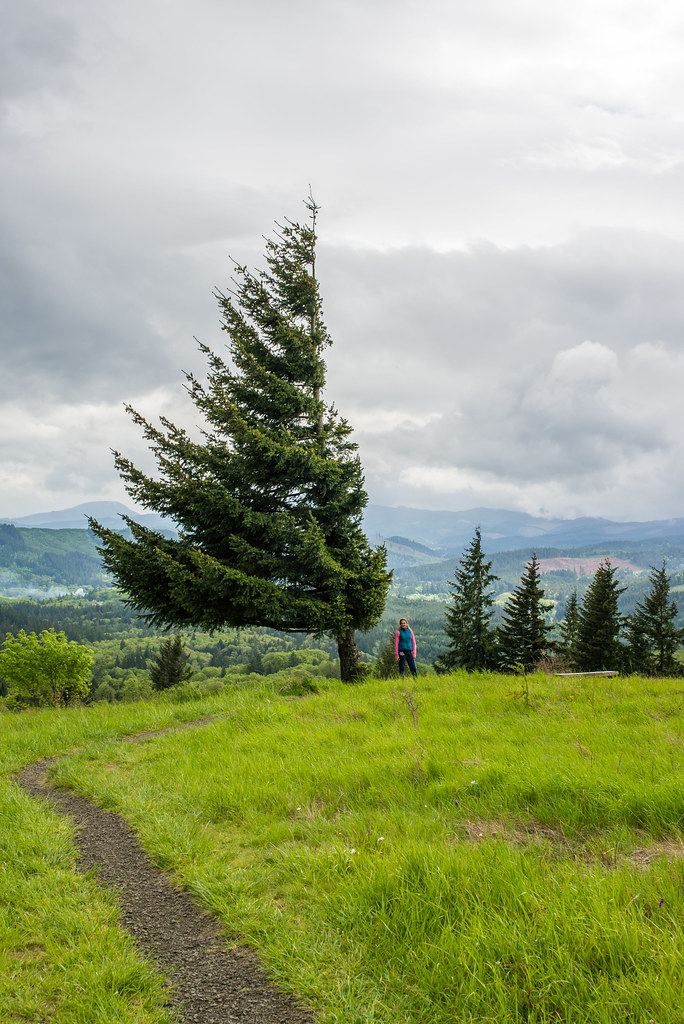
A view From Mary's Peak, Oregon
Harris, Oregon
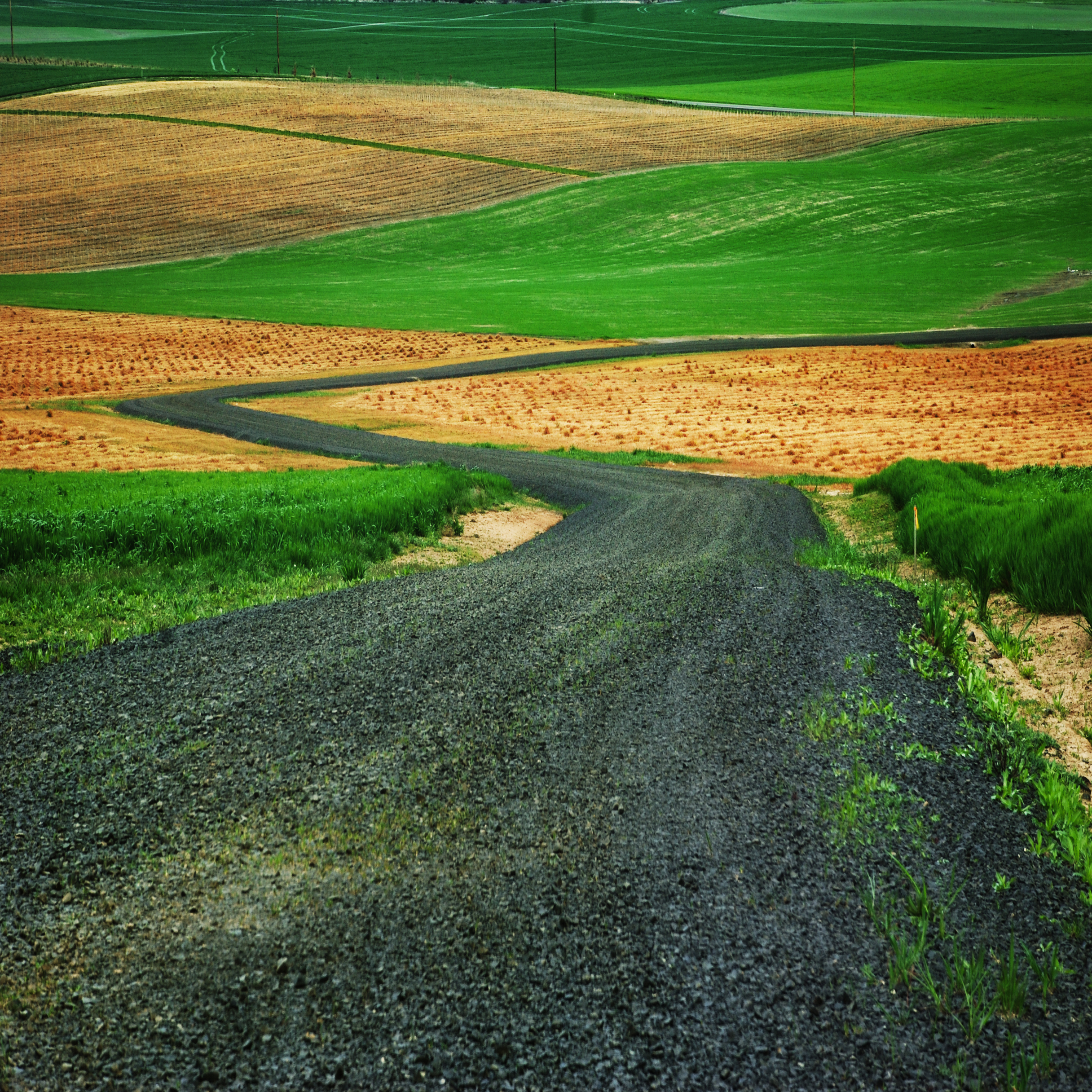
country road

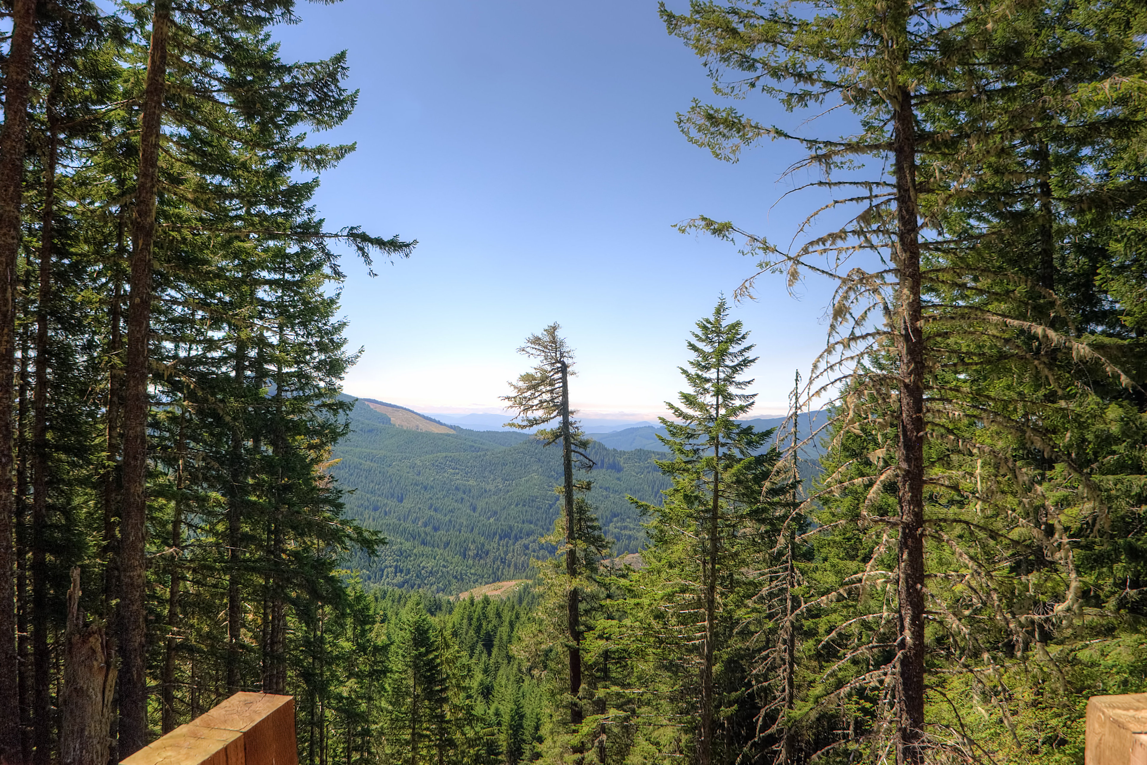
beazell trail view 1
DSC04909 (2) Old Barn Side View

beazell trail view 3

barker creek trail
ritner creek

20070429-SD700IS-IMG_0951.JPG

dimple hill view 1

20070504-SD700IS-IMG_1002.JPG

fitton green view 2

dimple hill view 3

20070429-SD700IS-IMG_0917.JPG

20070504-SD700IS-IMG_0994.JPG

20070429-SD700IS-IMG_0950.JPG

mcd-dunn road 2

20070429-SD700IS-IMG_0955.JPG

20070504-SD700IS-IMG_0993.JPG
"Play of Lights" :: Marys Peak Oregon

Sunset on Marys Peak from Fitton Green Natural Area, Philomath, Oregon
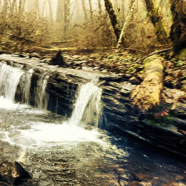
#waterfall #oregon #hiking #philpottcarl
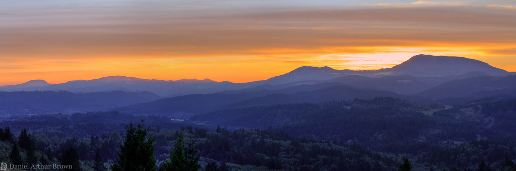
Sunset on Marys Peak from Fitton Green Natual Area, Philomath, Oregon
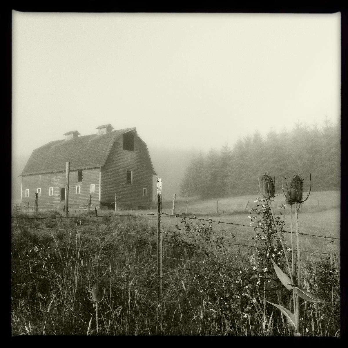
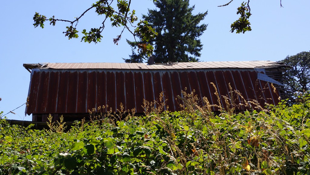
Barn in the Early Morning Fog
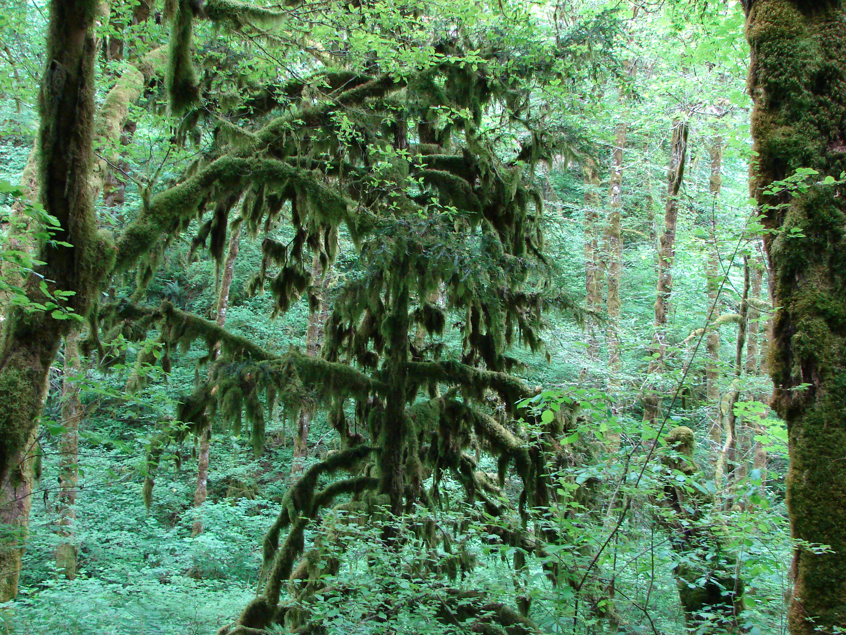
Moss covered tree in the Beazell Memorial Forest

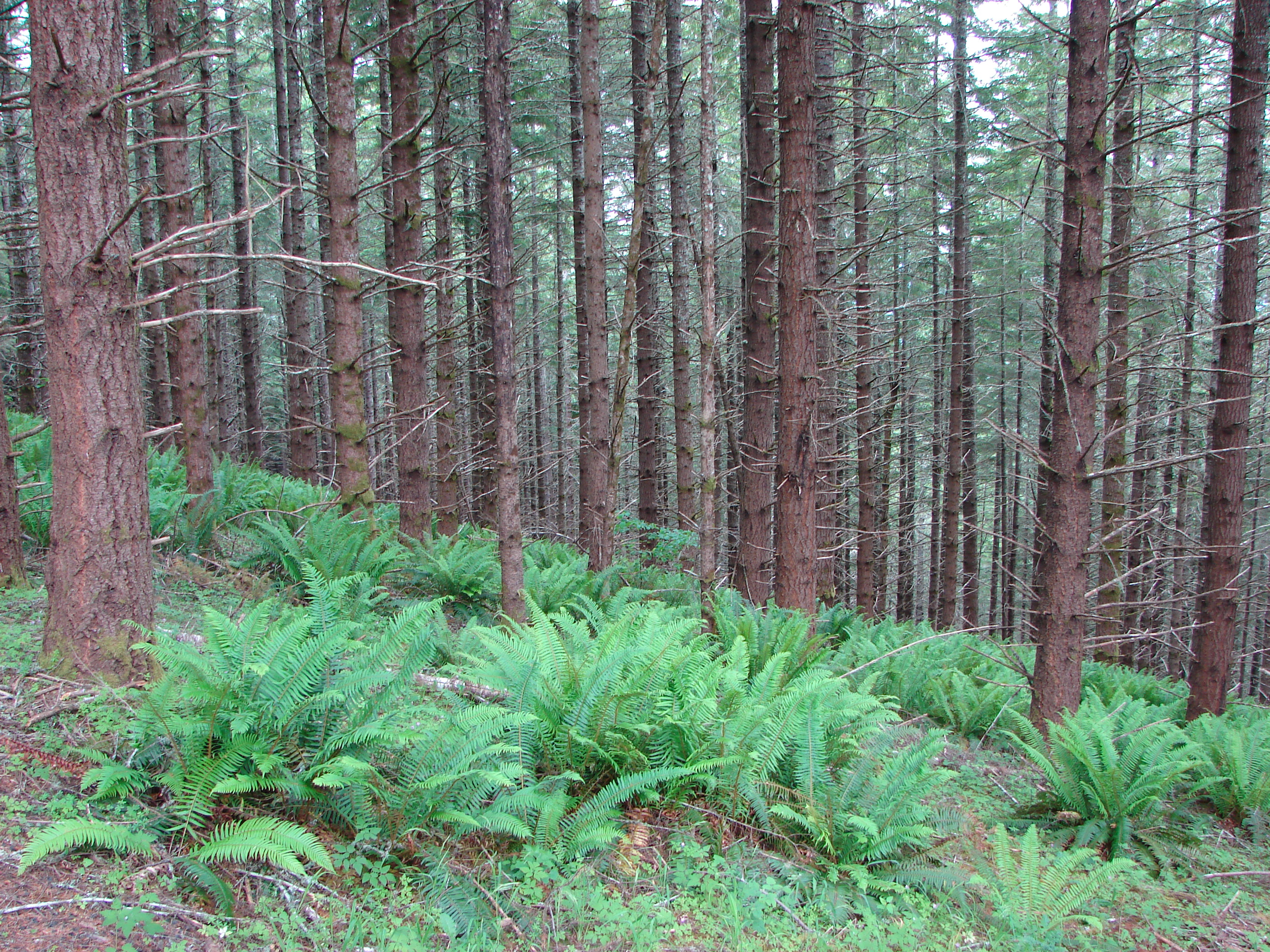
Beazell Memorial Forest

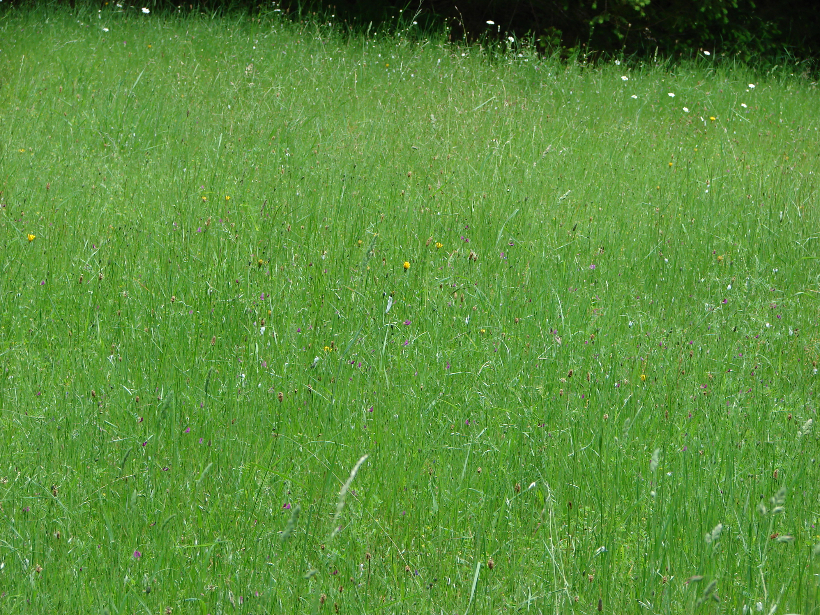
Fields of gold
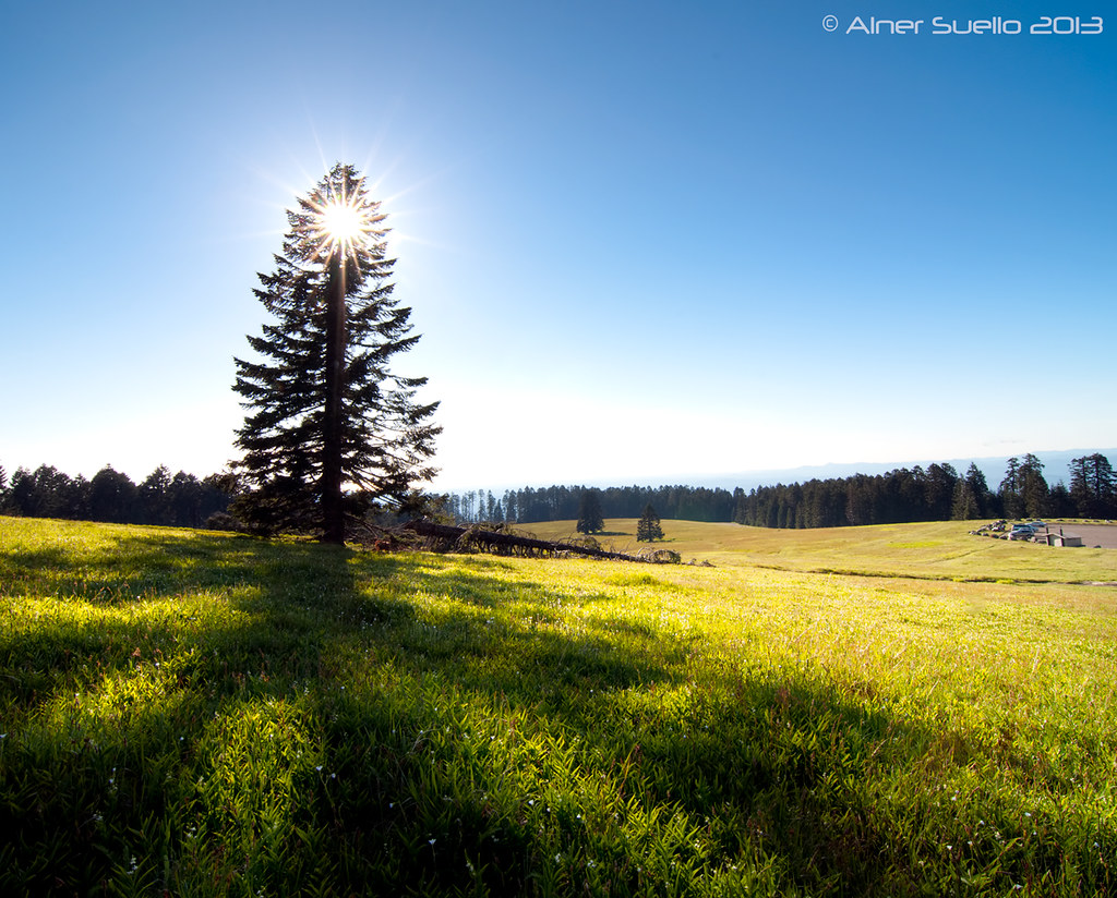
Meadow in the Beazell Memorial Forest
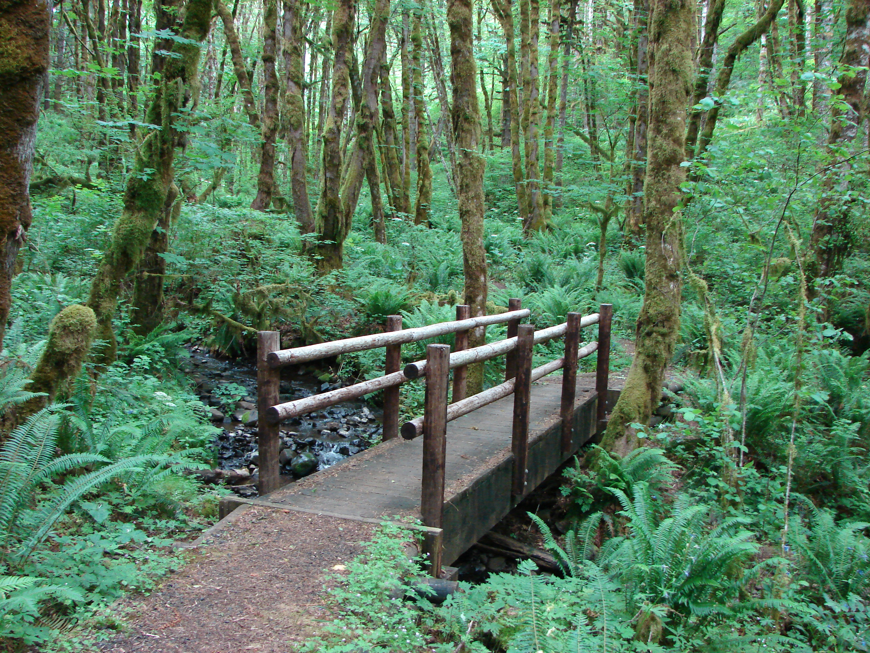
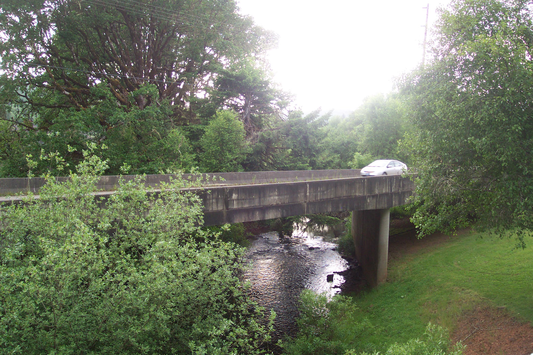
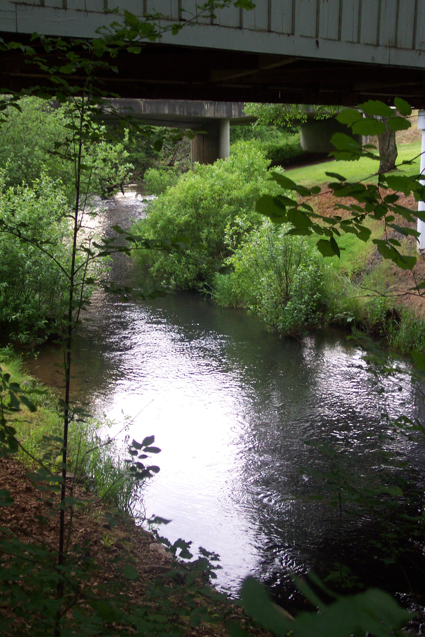
Bridge over Plunkett Creek
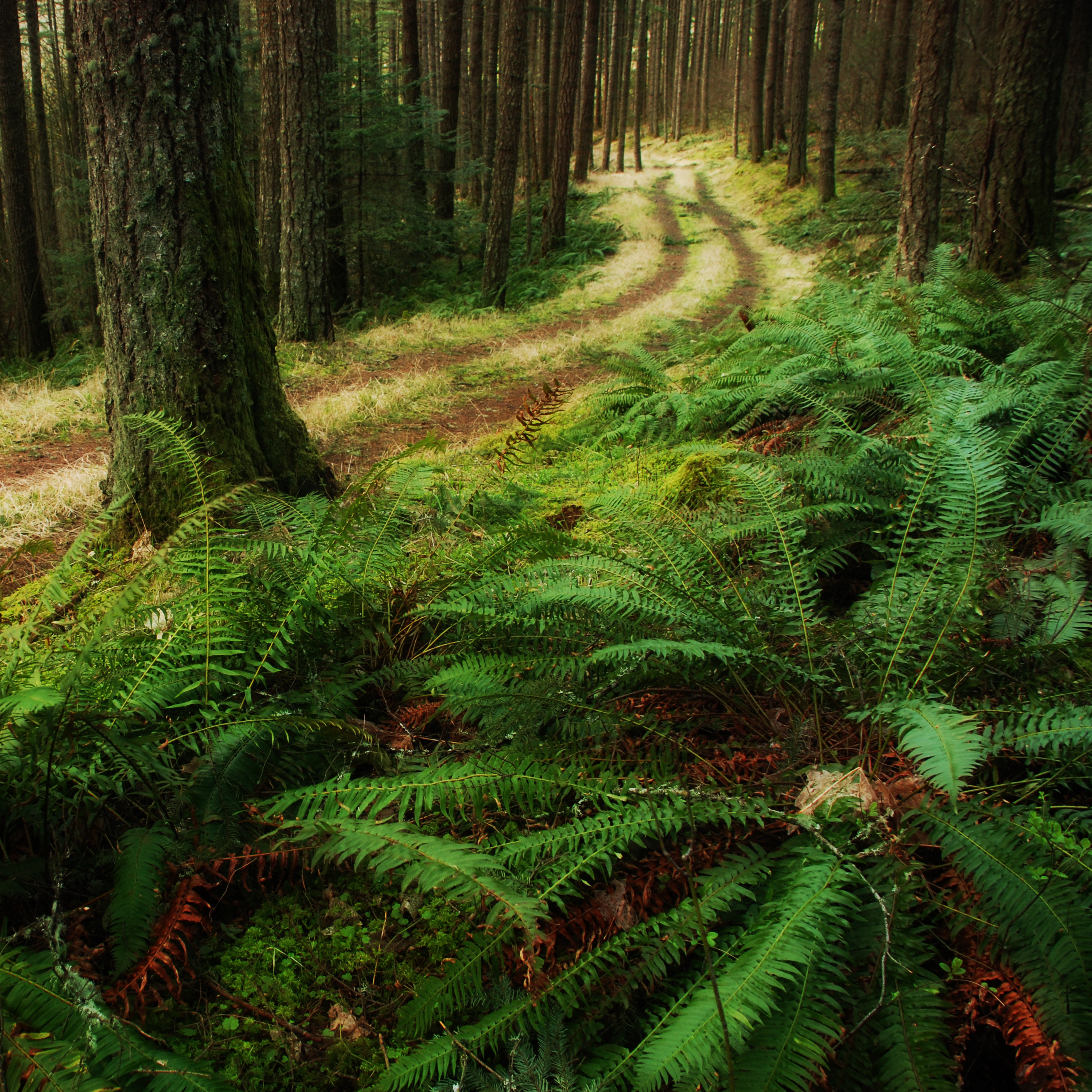
Through the trees
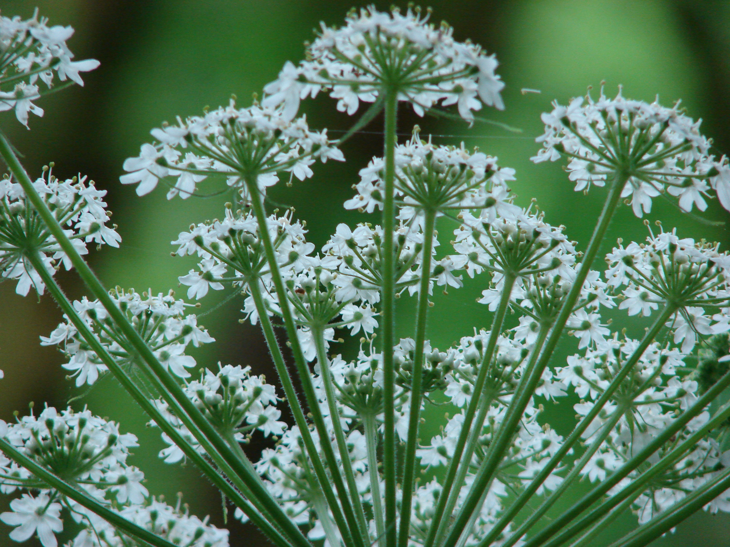
Cow parsnip
Beazell Memorial Forest
Lewisburg Saddle
_DSC1378.jpg
ritner creek...

20070427-SD700IS-IMG_0858.JPG
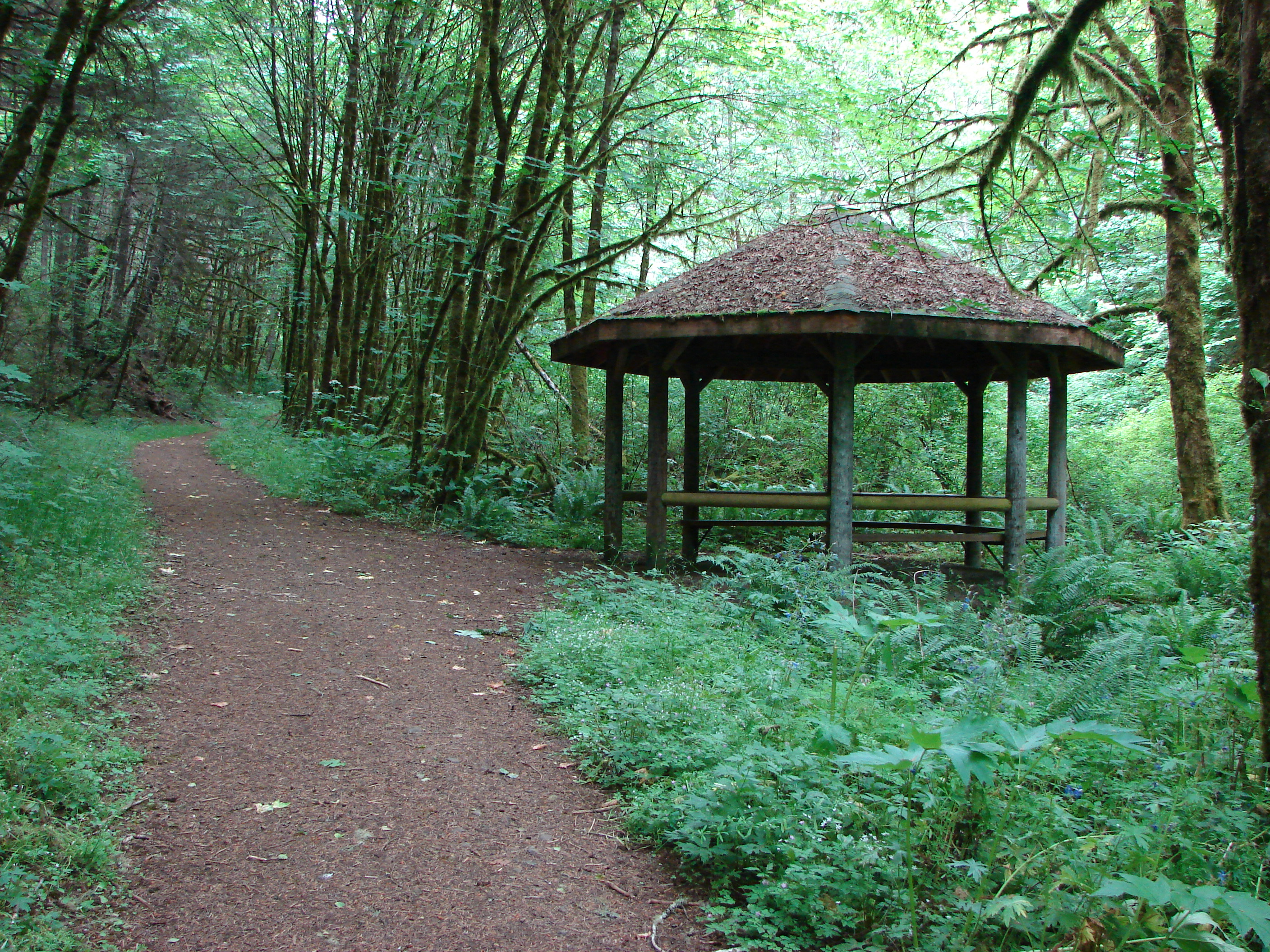
Gazeebo in the Beazell Memorial Forest
_DSC1388.jpg
Topographic Map of Kings Valley, OR, USA
Find elevation by address:

Places near Kings Valley, OR, USA:
Kings Valley Hwy, Monmouth, OR, USA
Hoskins
Hoskins Rd, Philomath, OR, USA
37471 Kings Valley Hwy
Pedee
Benton County
15150 Airlie Rd
Wren
Harris Rd, Philomath, OR, USA
16400 Airlie Rd
Blodgett
Columbine Drive
1445 Nw Skipanon Dr
Corvallis, OR, USA
Falls City
N Main St, Falls City, OR, USA
2595 Nw Windsor Pl
Philomath, OR, USA
5808 Nw Fair Oaks Dr
Bald Hill
Recent Searches:
- Elevation of Corso Fratelli Cairoli, 35, Macerata MC, Italy
- Elevation of Tallevast Rd, Sarasota, FL, USA
- Elevation of 4th St E, Sonoma, CA, USA
- Elevation of Black Hollow Rd, Pennsdale, PA, USA
- Elevation of Oakland Ave, Williamsport, PA, USA
- Elevation of Pedrógão Grande, Portugal
- Elevation of Klee Dr, Martinsburg, WV, USA
- Elevation of Via Roma, Pieranica CR, Italy
- Elevation of Tavkvetili Mountain, Georgia
- Elevation of Hartfords Bluff Cir, Mt Pleasant, SC, USA