Elevation of Hoskins, OR, USA
Location: United States > Oregon > Benton County >

Longitude: -123.4675

Latitude: 44.676944

Elevation: 118m / 387feet

Barometric Pressure: 100KPa

Elevation Map:

elevation map of Hoskins, OR, USA
Satellite Map:

Satellite map of Hoskins, OR, USA

Related Photos:

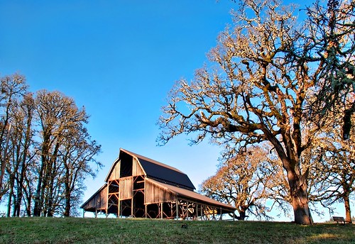
tree oregon barn path hike walkway darthvader corvallis sigma18200 nikond80 baldhillpark
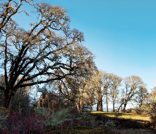
Whats That I See?
tree oregon barn path hike walkway corvallis sigma18200 nikond80 baldhillpark
Why do I feel so incomplete :-)
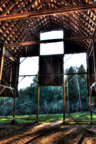
oregon barn darthvader hdr corvallis photomatix sigma18200 nikond80 baldhillpark
Inside Darth's Head
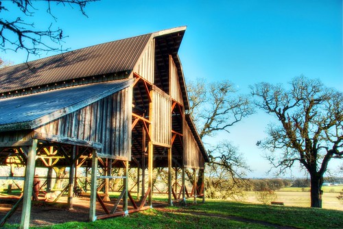
tree oregon barn path hike corvallis sigma18200 nikond80 baldhillpark
A Look from the Left
Mary's Peak at Sunset
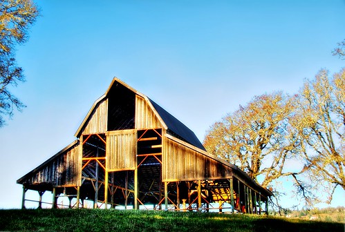
tree oregon barn path hike walkway darthvader corvallis sigma18200 nikond80 baldhillpark
Hey it's a Darth Vader hat barn:-)
sunset field view hiking hills corvallis
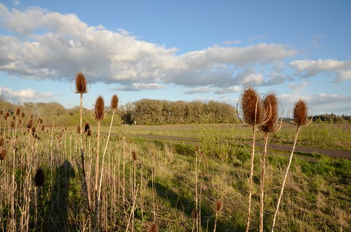
Fields of gold
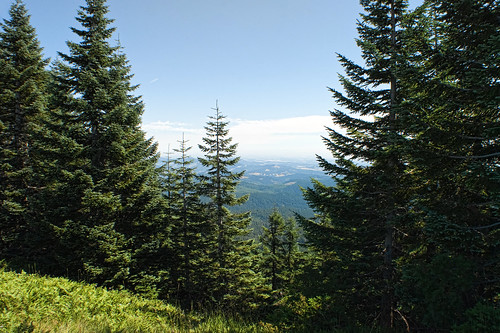
oregon forest nikon maryspeak willamettevalley d80
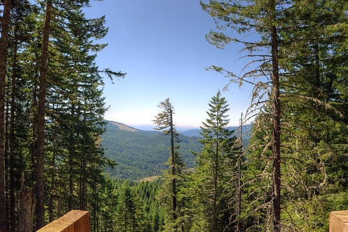
A view From Mary's Peak, Oregon
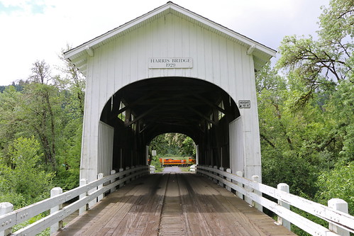
oregon trains harris railroads coveredbridges pw harrisbridge shortlines portlandwestern
Harris, Oregon
oregon scenery
beazell trail view 1
oregon scenery
beazell trail view 3
oregon scenery
barker creek trail
covered bridge oregon water creek
ritner creek
usa unitedstates corvallis mcdonaldforest dimplehill danstrail dimplehillpeak
20070429-SD700IS-IMG_0951.JPG
oregon scenery
dimple hill view 1
usa view unitedstates hike deer corvallis mcdonaldforest danstrail
20070504-SD700IS-IMG_1002.JPG
oregon scenery
fitton green view 2
oregon scenery
dimple hill view 3
bridge usa unitedstates corvallis jacksoncreek mcdonaldforest dimplehill danstrail
20070429-SD700IS-IMG_0917.JPG
usa view unitedstates hike corvallis horsetrail mcdonaldforest
20070504-SD700IS-IMG_0994.JPG
usa unitedstates corvallis mcdonaldforest dimplehill danstrail dimplehillpeak
20070429-SD700IS-IMG_0950.JPG
"Play of Lights" :: Marys Peak Oregon
coastrange corvallis fittongreen fittongreencountynaturalarea january maryspeak nationalforest or oregon pacificnorthwest philomath siuslaw usforestservice usfs unitedstatesforestservice hike hiking landscape mountain nature panorama sunset travel unitedstates us
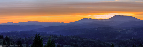
Sunset on Marys Peak from Fitton Green Natural Area, Philomath, Oregon
square squareformat iphoneography instagramapp uploaded:by=instagram foursquare:venue=4d166efdc2782d4366b4b9b0
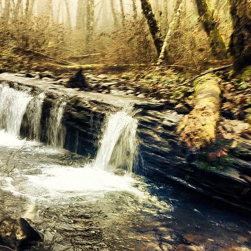
#waterfall #oregon #hiking #philpottcarl
coastrange corvallis fittongreen fittongreencountynaturalarea january maryspeak nationalforest or oregon pacificnorthwest philomath siuslaw usforestservice usfs unitedstatesforestservice hike hiking landscape mountain nature panorama sunset unitedstates us
Sunset on Marys Peak from Fitton Green Natual Area, Philomath, Oregon
uploaded:by=flickrmobile flickriosapp:filter=nofilter
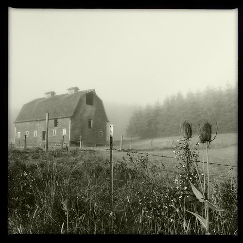
Barn in the Early Morning Fog
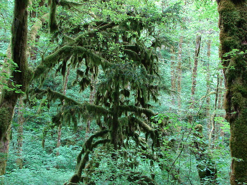
Moss covered tree in the Beazell Memorial Forest
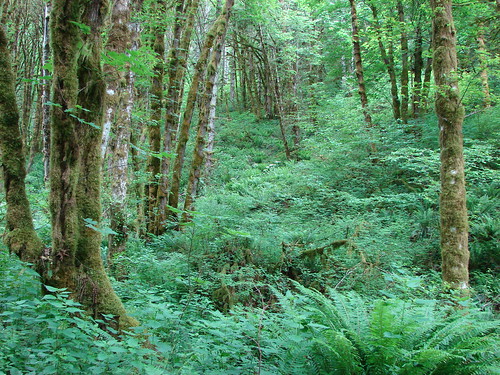
Beazell Memorial Forest
Meadow in the Beazell Memorial Forest
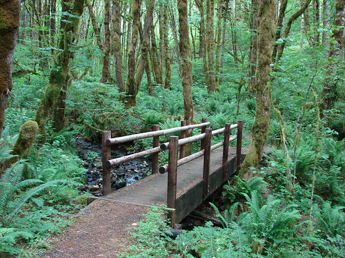
Bridge over Plunkett Creek
tree oregon maryspeak nikond80sigma18200hsmos
Through the trees
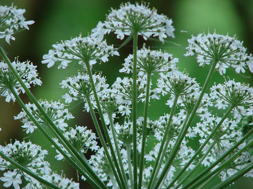
Cow parsnip
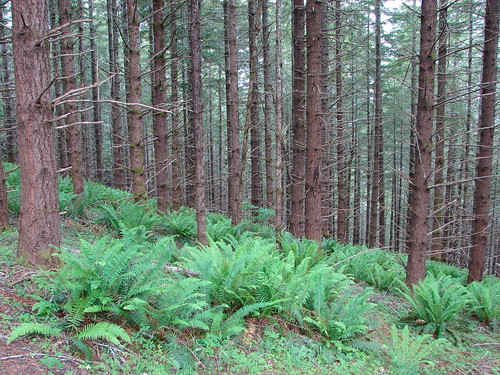
Beazell Memorial Forest
afsdxvrzoomnikkor1685mmf3556ged pnw2011
Bald Hill Camera Test 4-18-11
trees green oregon forest woods country ferns mcdonald chris10eyck
Lewisburg Saddle
oregon unitedstates philomath
_DSC1378.jpg