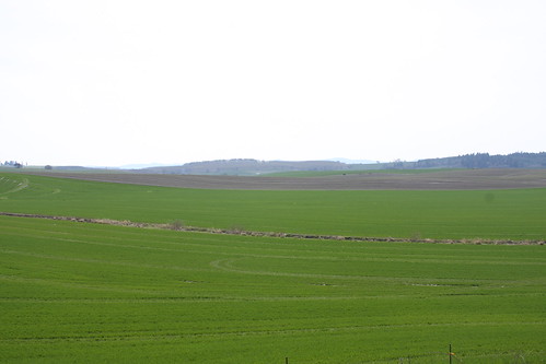
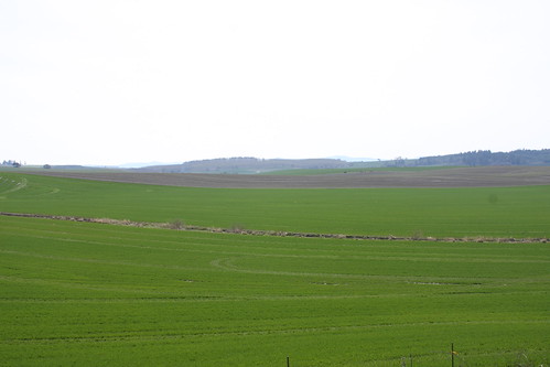
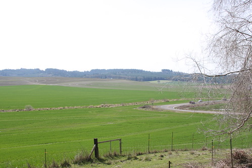
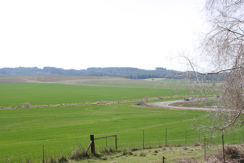
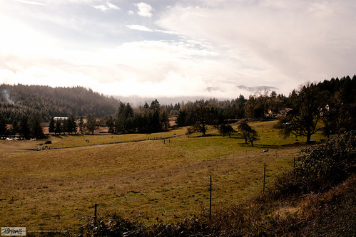
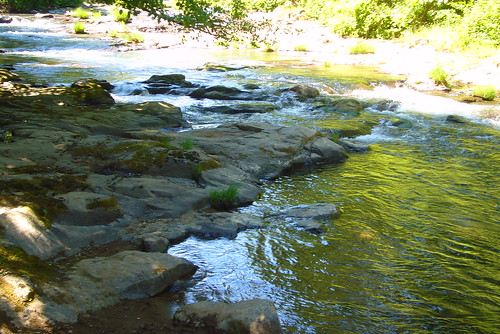
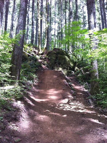
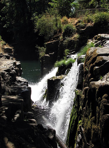
Elevation of Falls City, OR, USA
Location: United States > Oregon > Polk County >
Longitude: -123.43593
Latitude: 44.8662285
Elevation: 114m / 374feet
Barometric Pressure: 100KPa
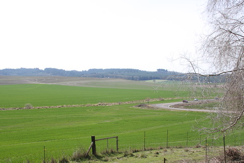
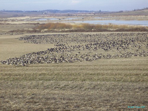
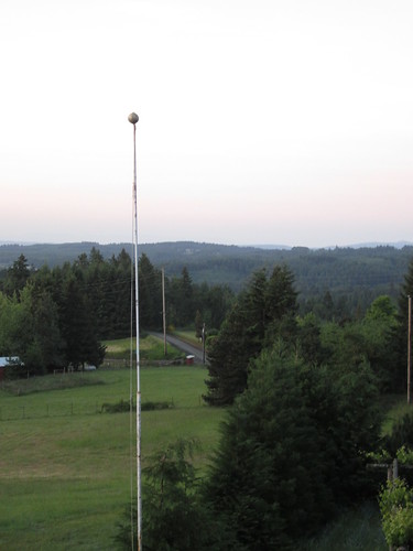
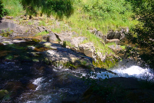
Related Photos:
Topographic Map of Falls City, OR, USA
Find elevation by address:

Places in Falls City, OR, USA:
Places near Falls City, OR, USA:
N Main St, Falls City, OR, USA
17880 Oakdale Rd
16905 Oakdale Rd
16400 Airlie Rd
Polk County
15500 Strong Rd
Strong Road
700 Reuben Boise Rd
910 Reuben Boise Rd
1628 Sw Clay St
15550 Ellendale Rd
2208 Sw Elmwood Dr
1668 Sw Filbert Ln
Pedee
1571 Sw Brown St
820 Sw Clay St
1535 Pioneer Rd
Dallas
2946 Se Lewis St
Main St, Dallas, OR, USA
Recent Searches:
- Elevation of Corso Fratelli Cairoli, 35, Macerata MC, Italy
- Elevation of Tallevast Rd, Sarasota, FL, USA
- Elevation of 4th St E, Sonoma, CA, USA
- Elevation of Black Hollow Rd, Pennsdale, PA, USA
- Elevation of Oakland Ave, Williamsport, PA, USA
- Elevation of Pedrógão Grande, Portugal
- Elevation of Klee Dr, Martinsburg, WV, USA
- Elevation of Via Roma, Pieranica CR, Italy
- Elevation of Tavkvetili Mountain, Georgia
- Elevation of Hartfords Bluff Cir, Mt Pleasant, SC, USA
