Elevation of King Lake Rd, Valley, NE, USA
Location: United States > Nebraska > Douglas County > Platte Valley > Valley >
Longitude: -96.301106
Latitude: 41.313313
Elevation: 343m / 1125feet
Barometric Pressure: 97KPa
Elevation Map:
Satellite Map:
Related Photos:

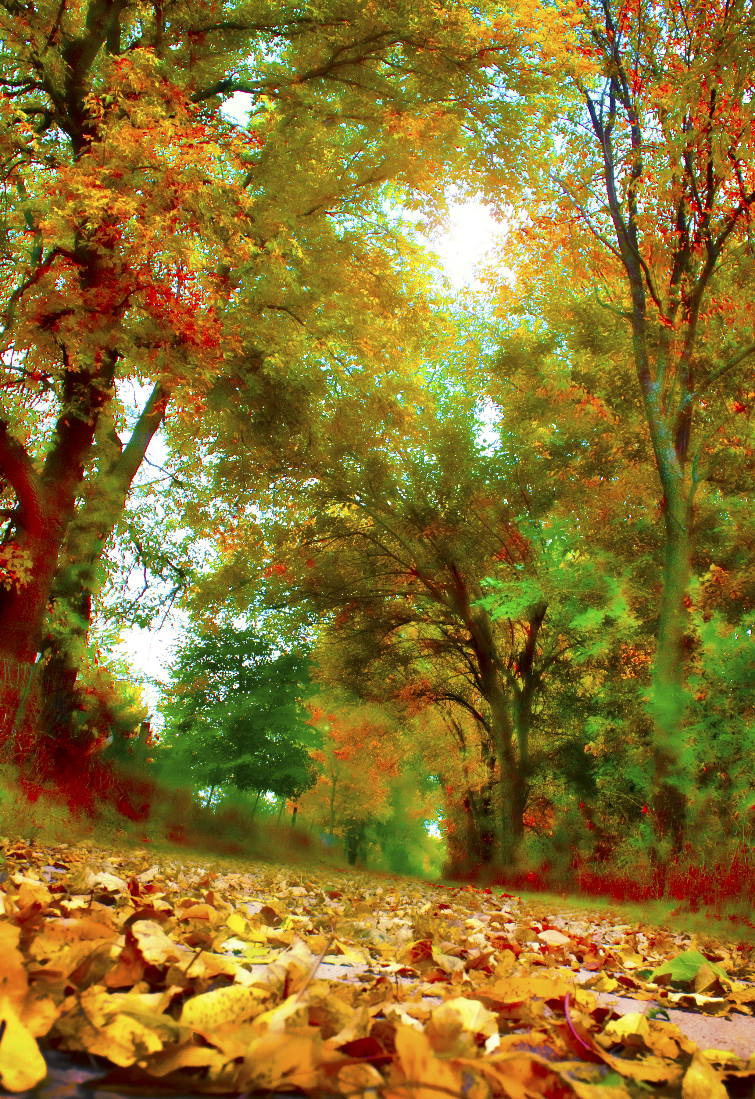
Moon Rise From Forest Floor (Explored at #18)

The Crow
Forget not that the earth delights to feel your bare feet and the winds long to play with your hair. ~Kahlil Gibran (Explored)
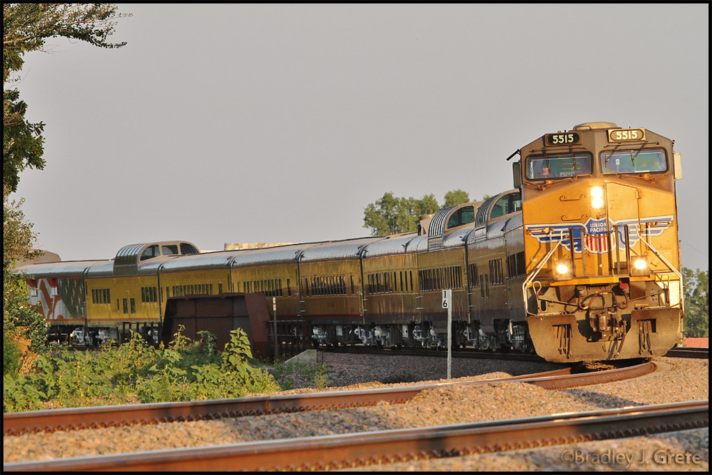
UP 5515 - SCBCY-15 - Millard NE

And today's color is YELLOW!!

candy.
View from tonight. Beautiful evening for a run. #f3coalminer

Theta360 in backyard
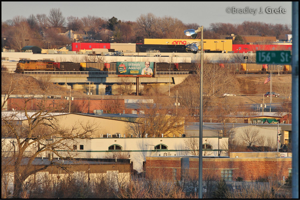
UP 7193 - 144th St from 157th St.
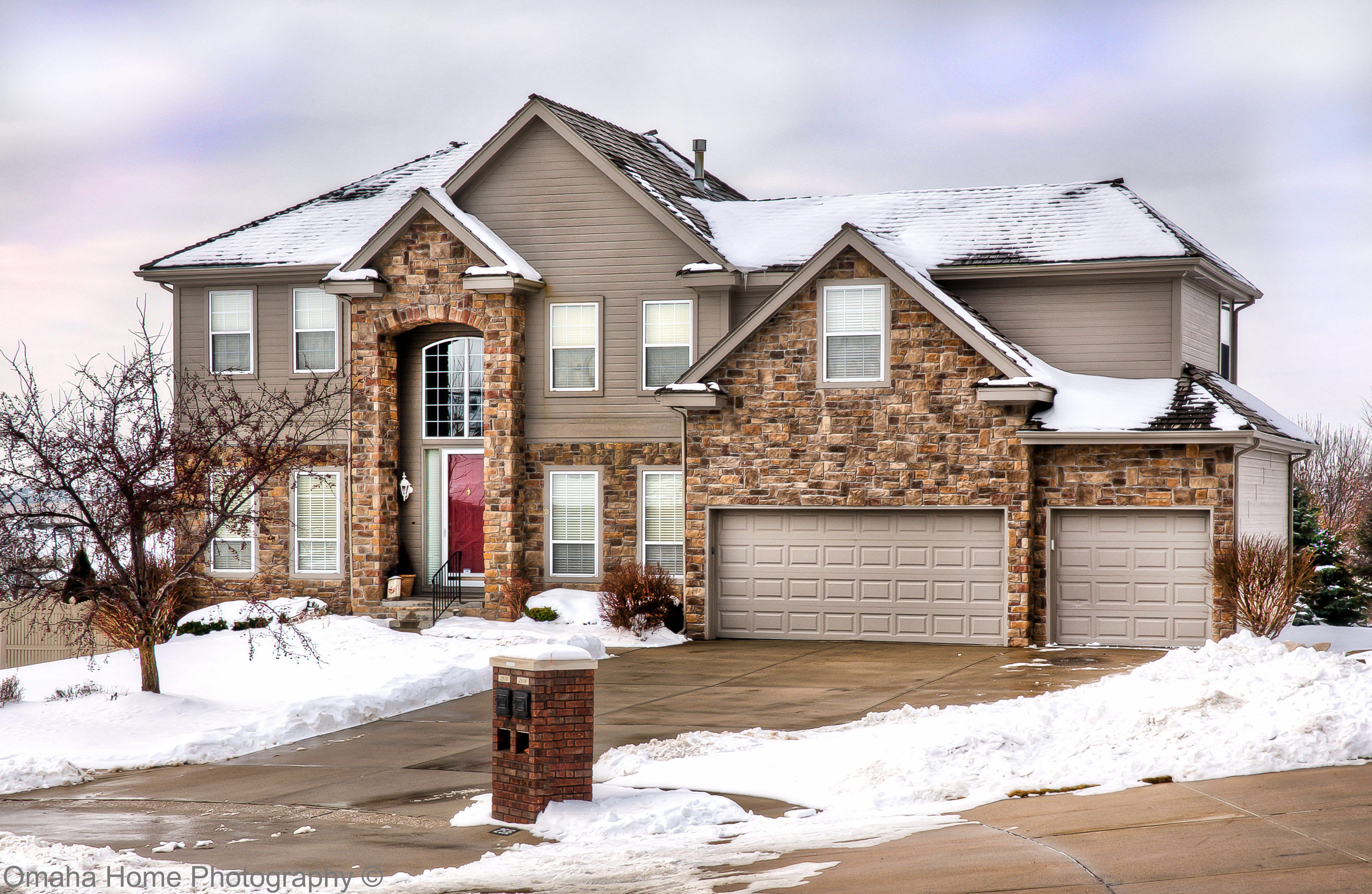
2510 N 158th Cir 01
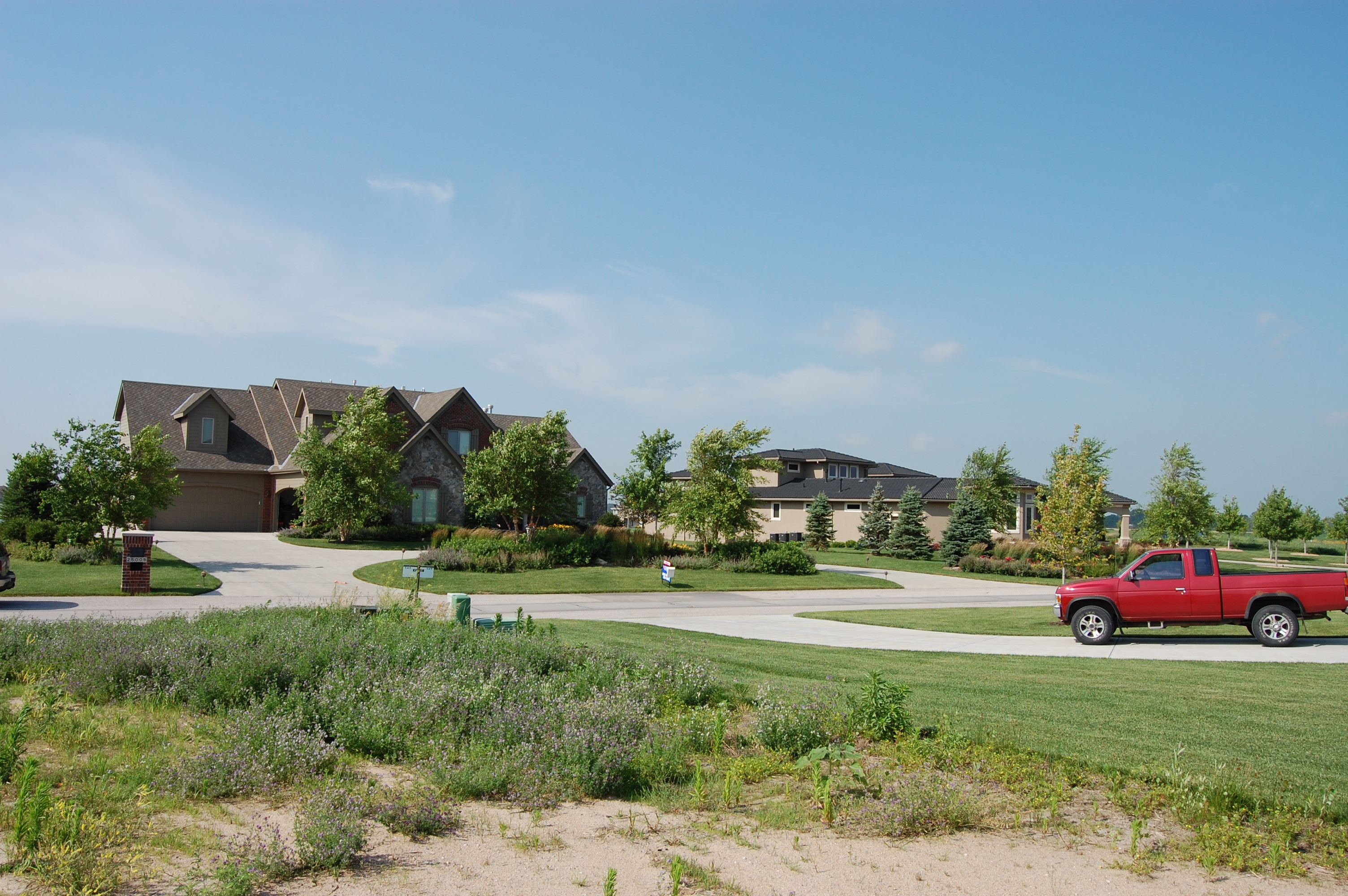
Street View of West Shores - Omaha, Nebraska
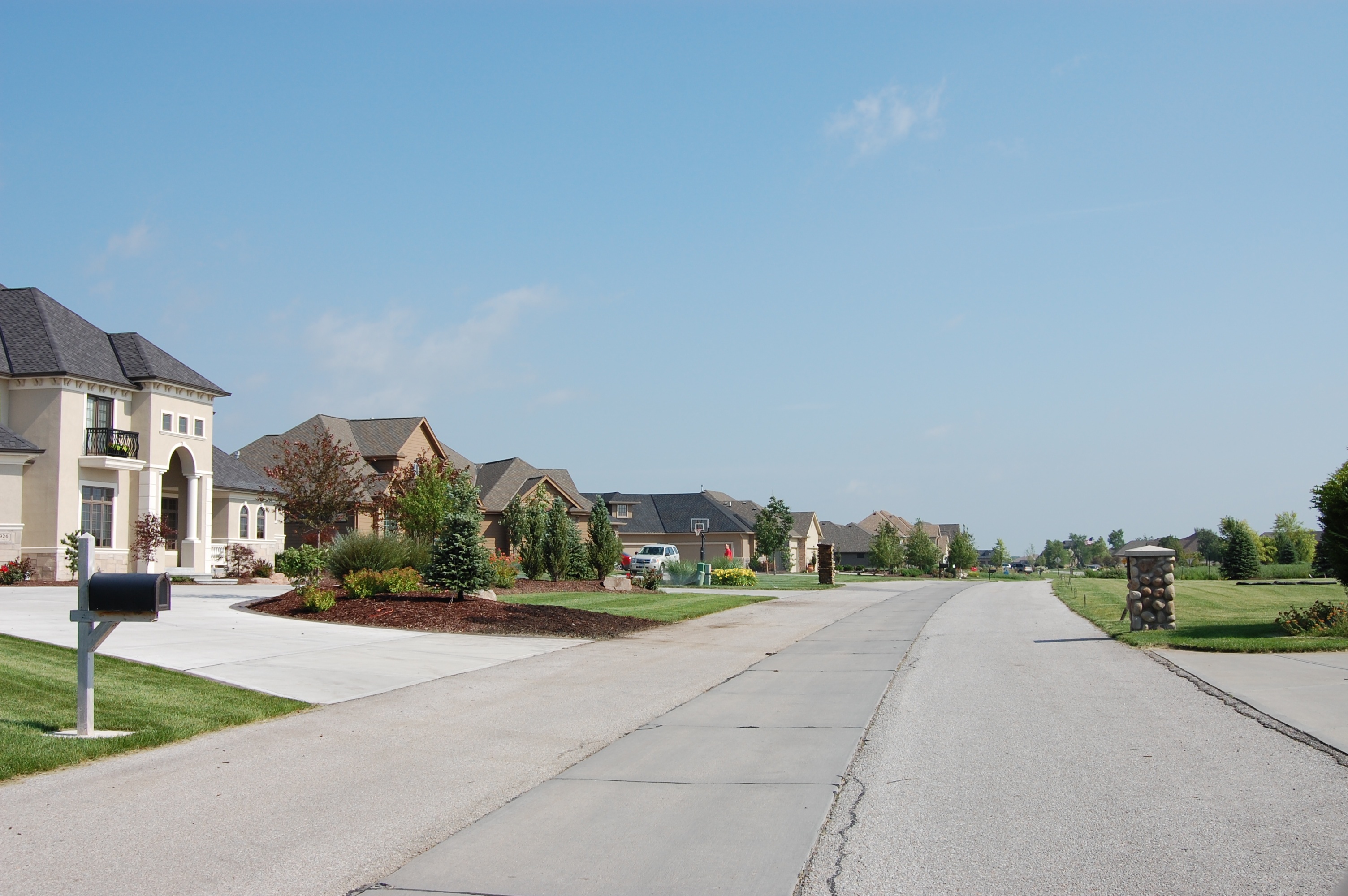
Street View of West Shores - Omaha, Nebraska
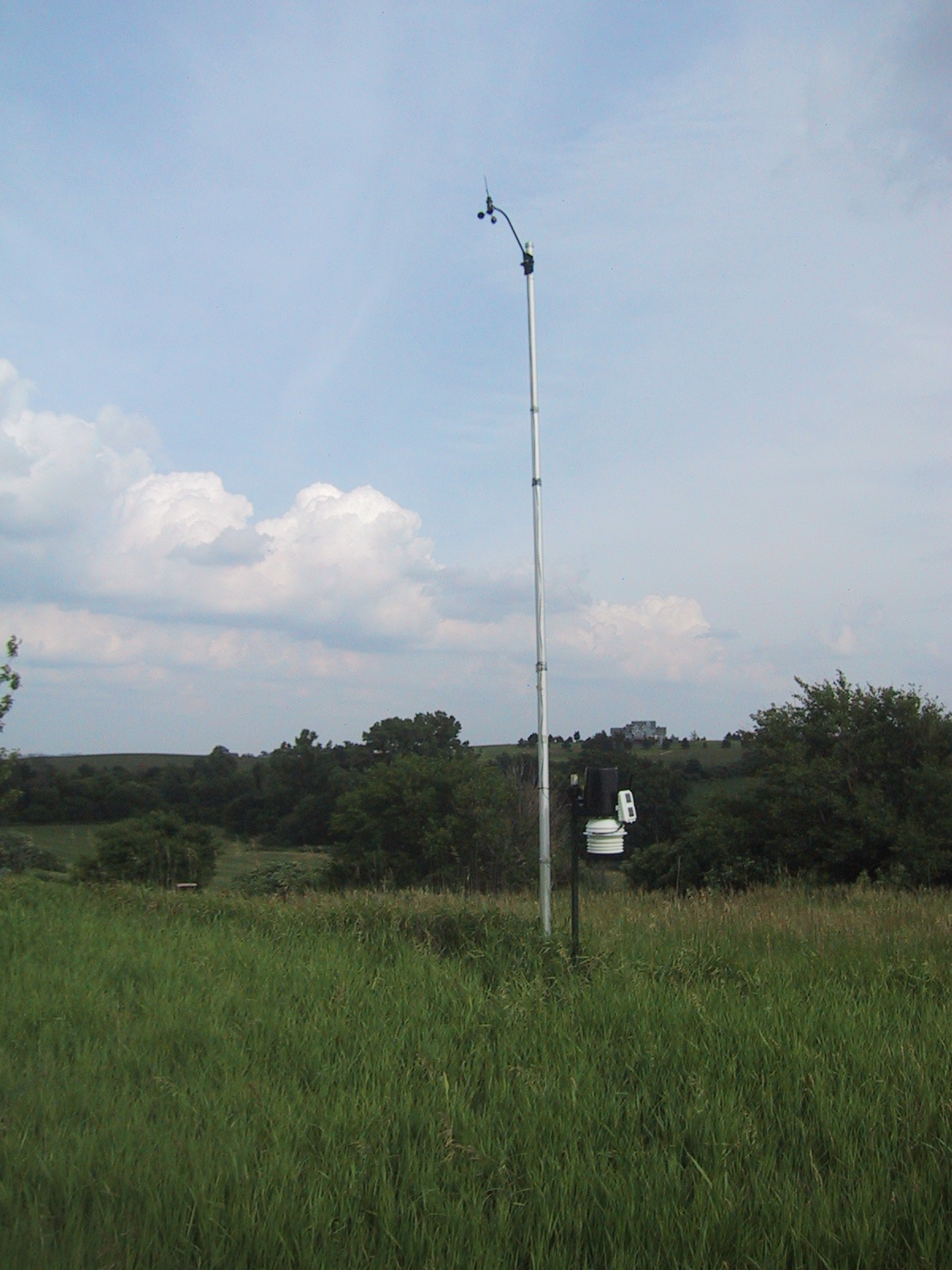
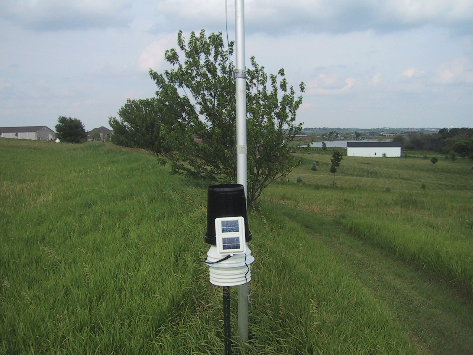
Weather station full view looking southeast
A level playing field
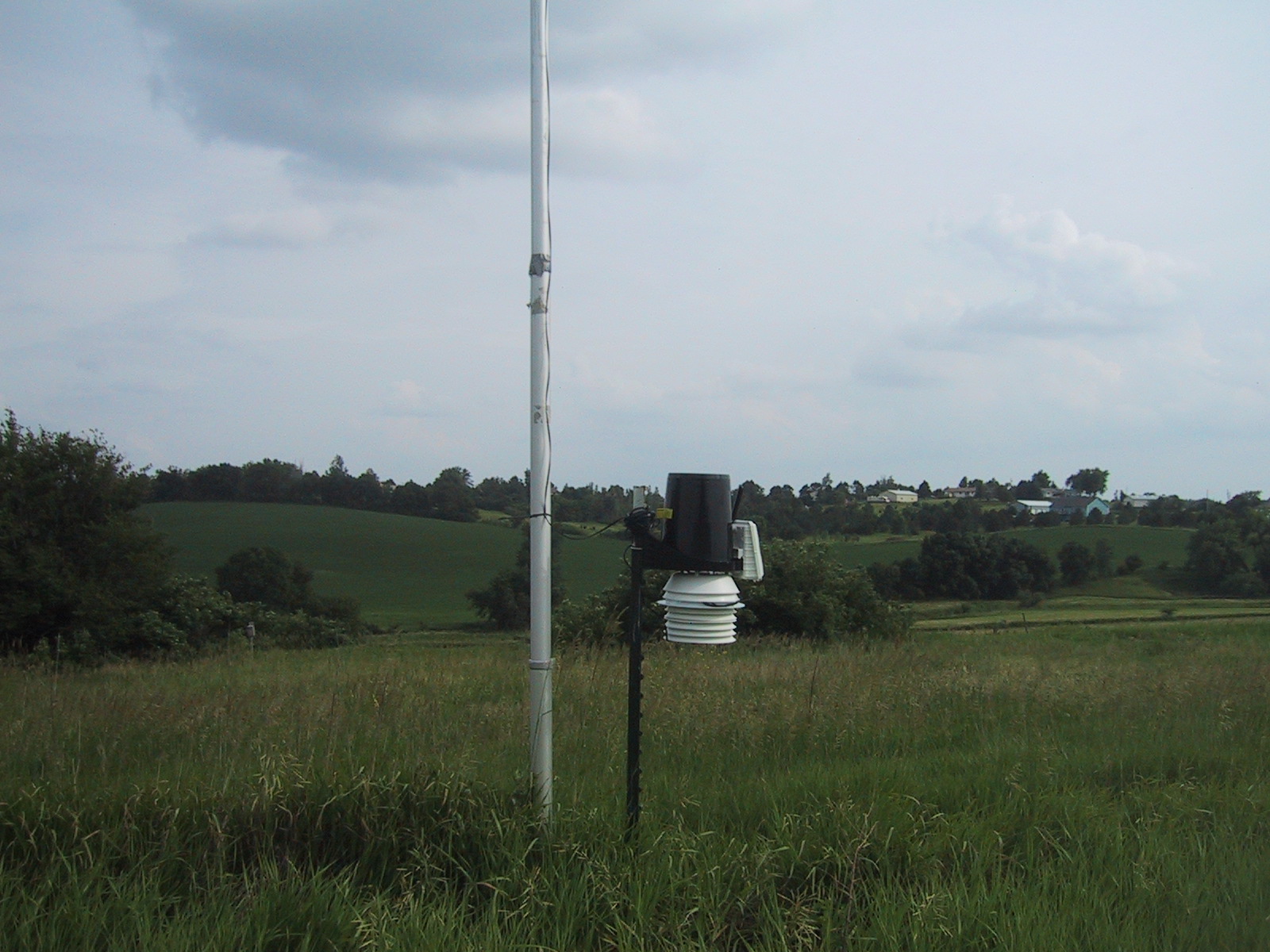
weather station view looking east
Weather station view looking south

The Good Life
Lightning and Rainbows at Sunset: Timelapse in HD

Before the Storm
IMG_0936 - Version 2

Corn Field HDR (44)

P1000091.JPG
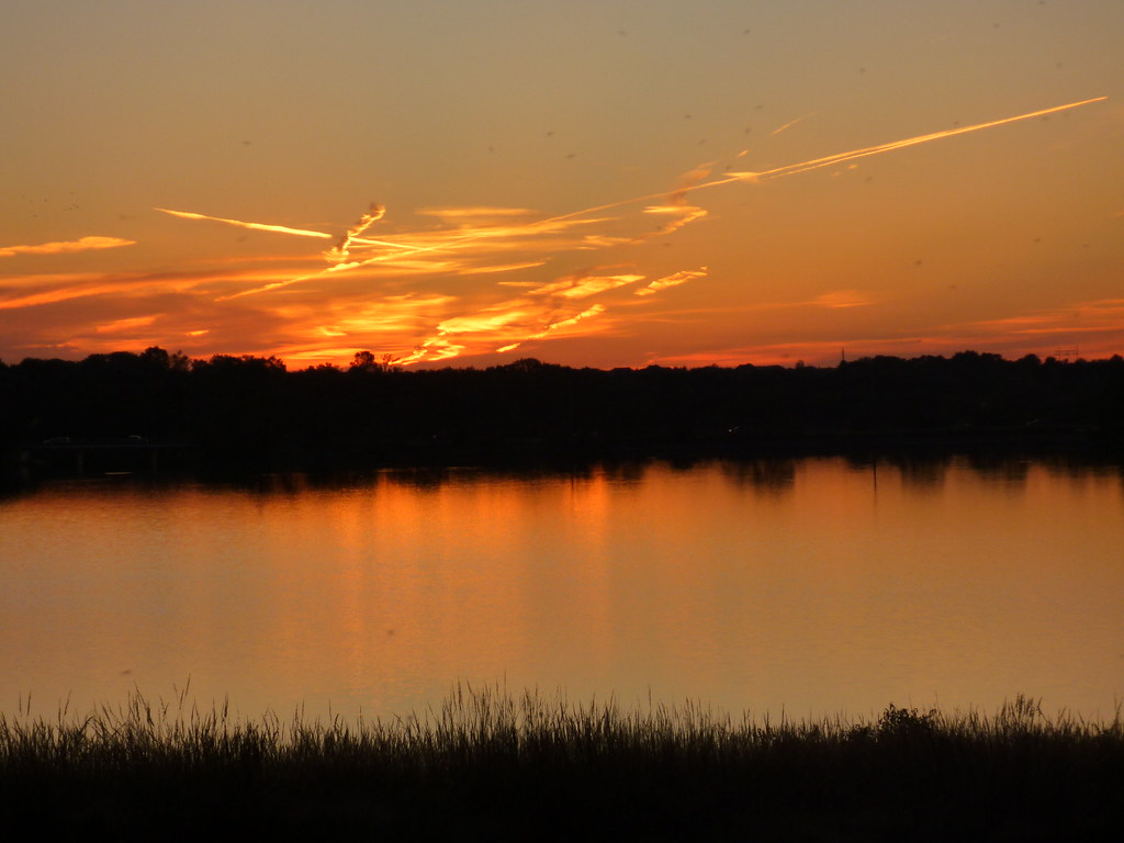
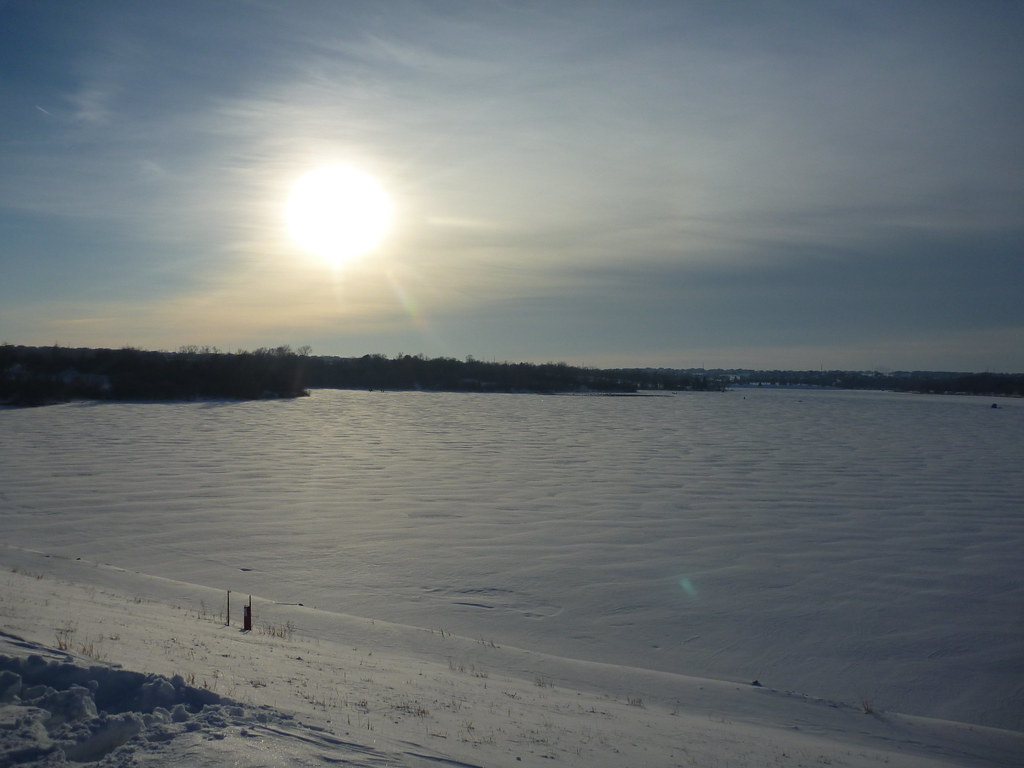
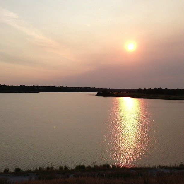
Standing Bear Lake Sunset
DSC00536_HDR (1)

_DSC8195 (1)
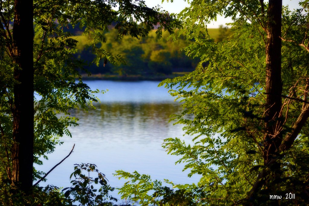
Zorinsky Lake2
Standing Bear Lake
P1000082.JPG

And one more, for good measure.

#omaha #sunset
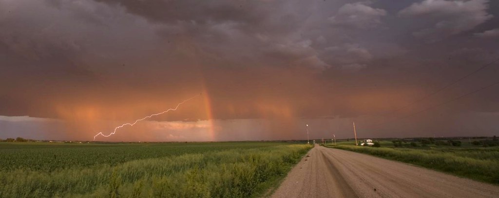
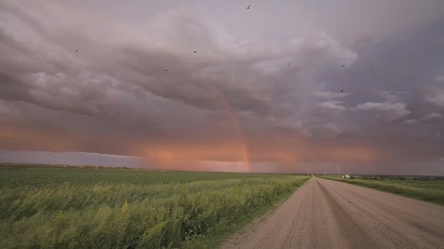
Lightning and Rainbows at Sunset

On The Tracks
Omaha, NE
P1020878.JPG

One of my favorite parts of Lake Zorinsky.
Half-way point. #training #goatz50ktraining
Topographic Map of King Lake Rd, Valley, NE, USA
Find elevation by address:

Places near King Lake Rd, Valley, NE, USA:
Douglas County
12503 N 179th St
Jefferson St, Washington, NE, USA
Washington
Jefferson
6426 N 160th Ave
7, NE, USA
7513 N 155th St
North 157th Street
Bennington
18522 County Rd 32
14616 Craig St
13310 Jaynes Plaza
Maple St, Kennard, NE, USA
Kennard
401 N Pine St
Lincoln Hwy & Rd 27
11011 Bauman Cir
11060 S Lakeshore Dr
Union
Recent Searches:
- Elevation of Corso Fratelli Cairoli, 35, Macerata MC, Italy
- Elevation of Tallevast Rd, Sarasota, FL, USA
- Elevation of 4th St E, Sonoma, CA, USA
- Elevation of Black Hollow Rd, Pennsdale, PA, USA
- Elevation of Oakland Ave, Williamsport, PA, USA
- Elevation of Pedrógão Grande, Portugal
- Elevation of Klee Dr, Martinsburg, WV, USA
- Elevation of Via Roma, Pieranica CR, Italy
- Elevation of Tavkvetili Mountain, Georgia
- Elevation of Hartfords Bluff Cir, Mt Pleasant, SC, USA