Elevation of Kimobetsu, Abuta District, Hokkaido Prefecture, Japan
Location: Japan > Hokkaido Prefecture > Abuta District >
Longitude: 140.9345
Latitude: 42.7954722
Elevation: 256m / 840feet
Barometric Pressure: 0KPa
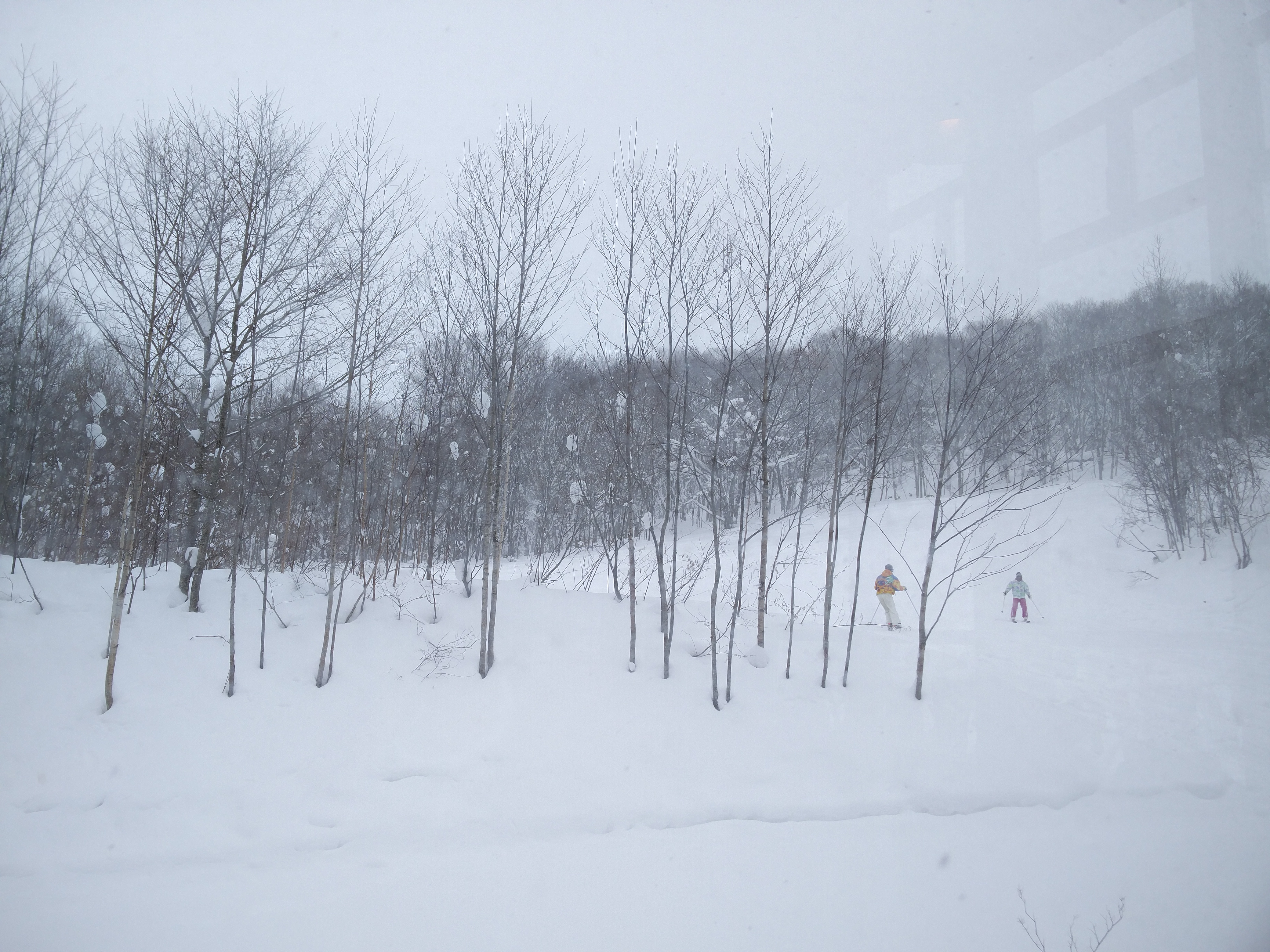
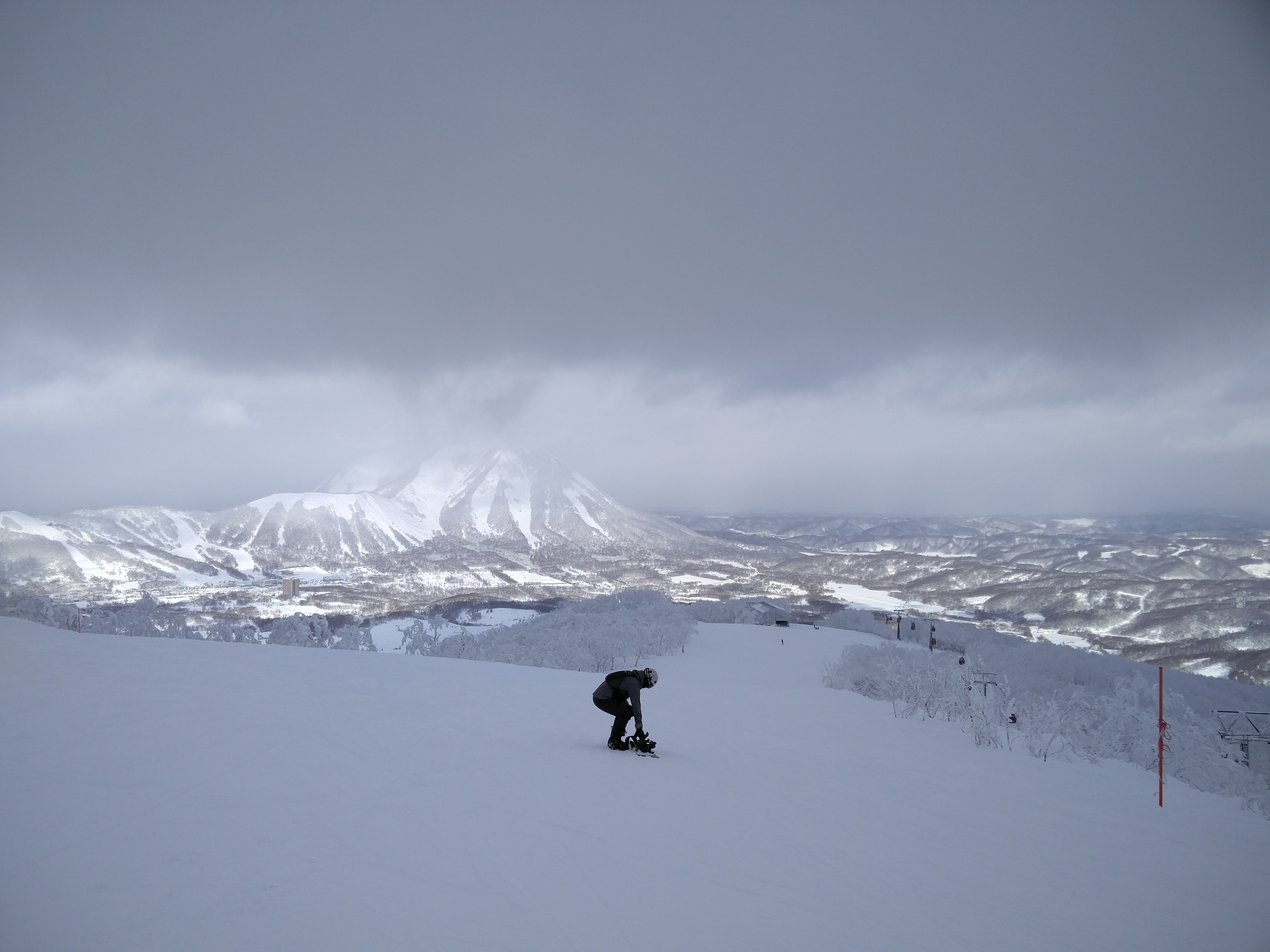
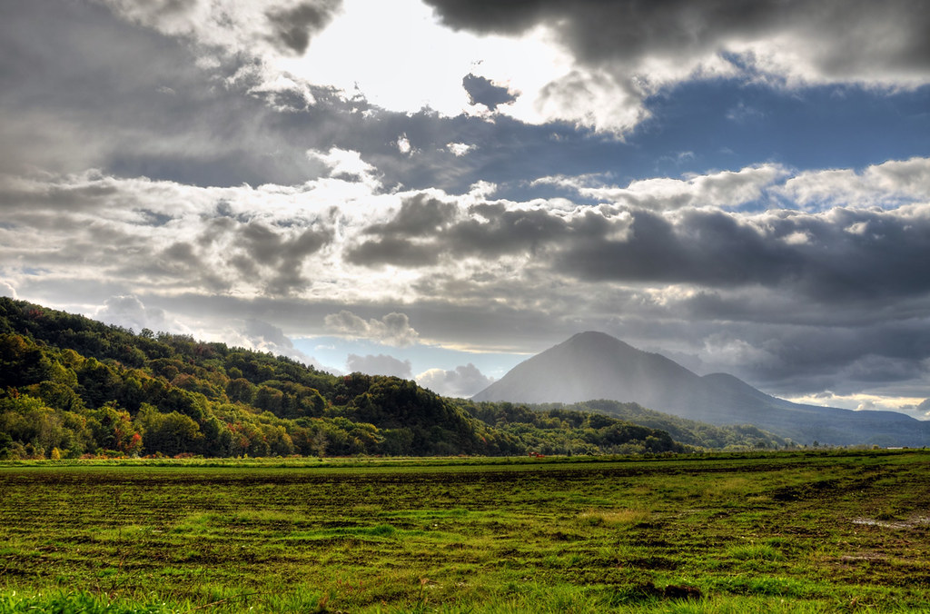
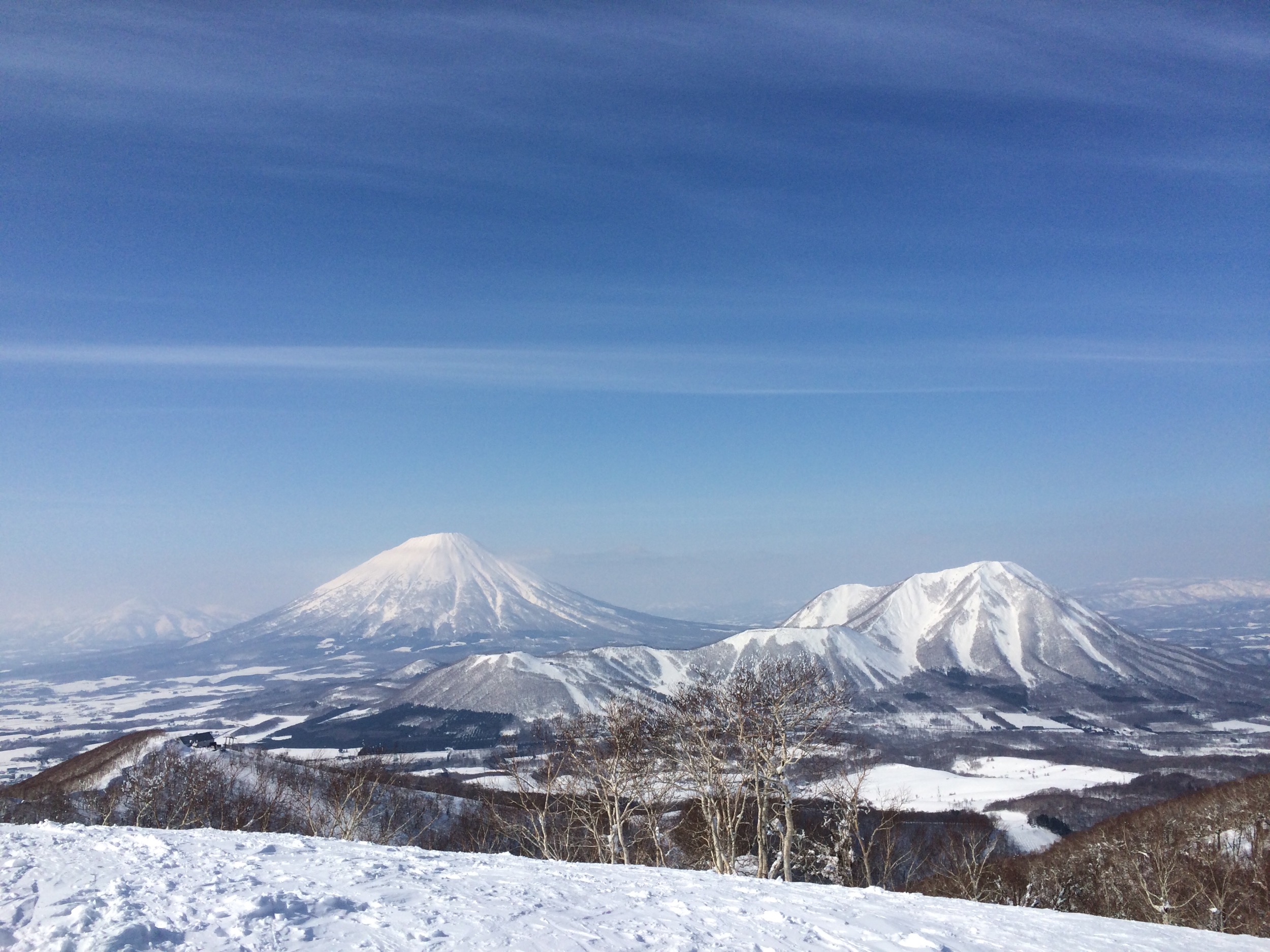
Related Photos:
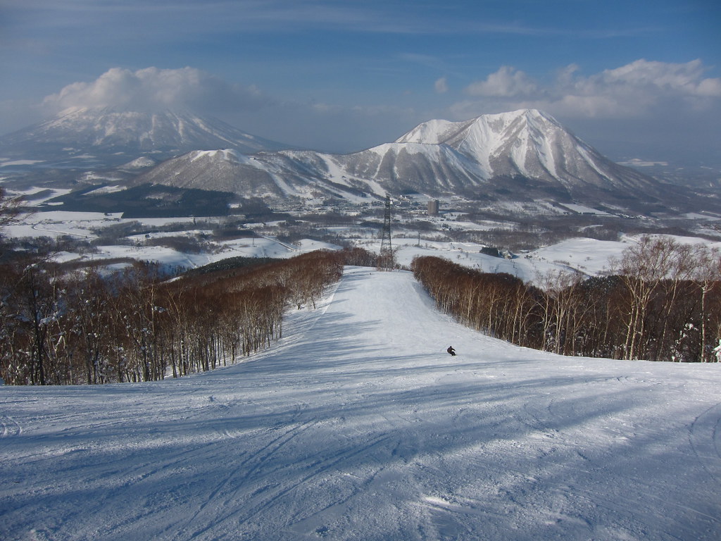
View from the Steamboat Cafeteria

Oceanside view from mt. Isola #rusutsu #japan #hokkaido #snowboarding

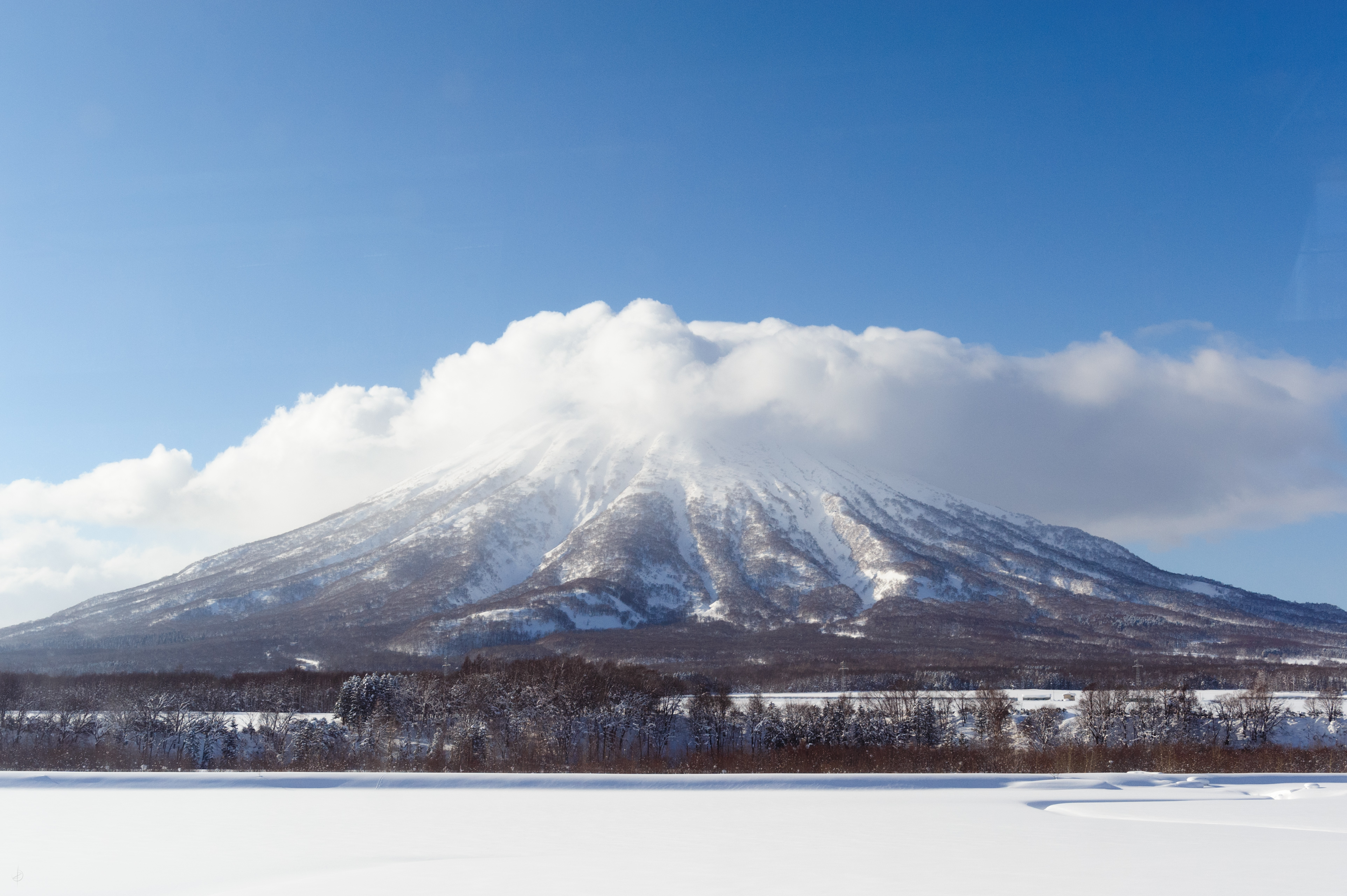
Mount Yōtei

Rusutsu resort ski area Izora No.5 pair chairlift, a view from Mt.topstation
View from the top of Mt Isola
Joanne #scarykitty and the view outside

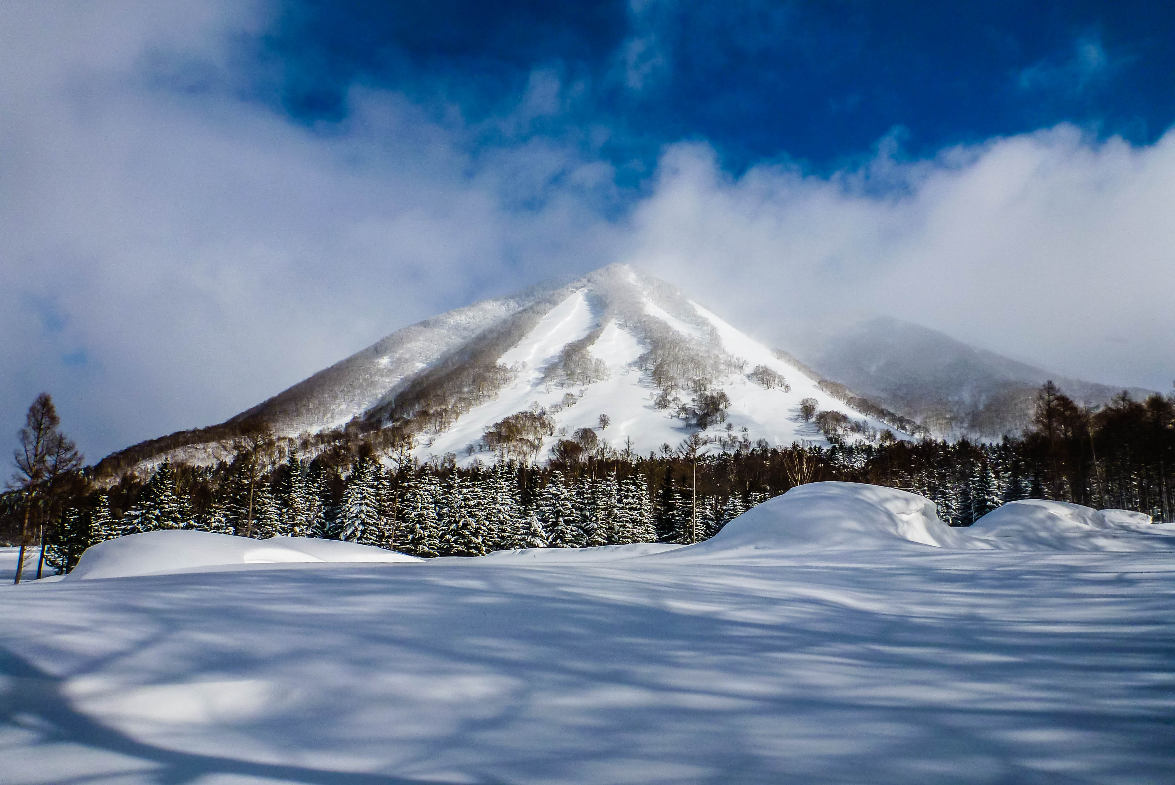
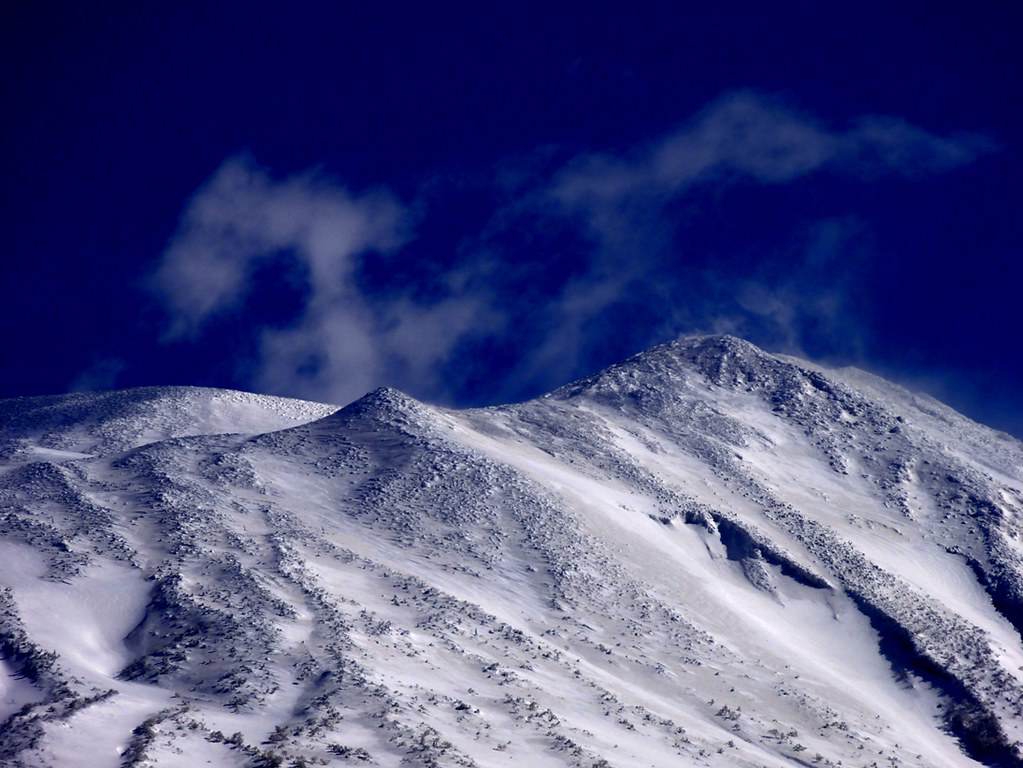
Mt Shiribeshi
Mt Shiribeshi
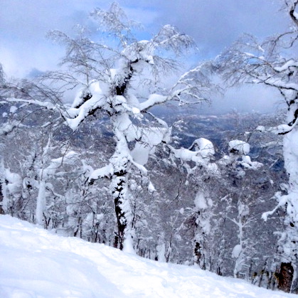
Photo de Benjamin Perret
2015.3.8-1
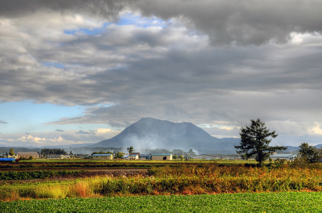
Mt Shiribeshi
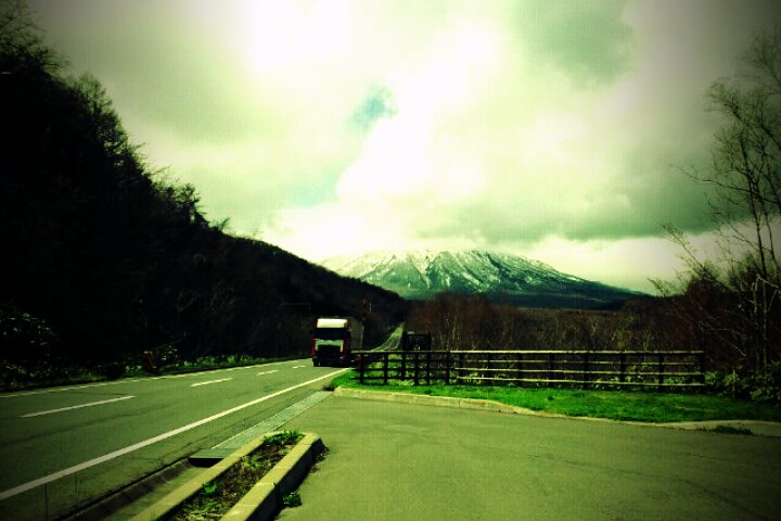
北海道國道230
Lone Skier

2014-08-27 11-23-13
Japan 2015-02-03 015

爽やかな朝は蕁麻疹から始まる。かゆい……寝てただけなのに何でフラグ立ってるんだクソが
Youtei mountain and long straight road

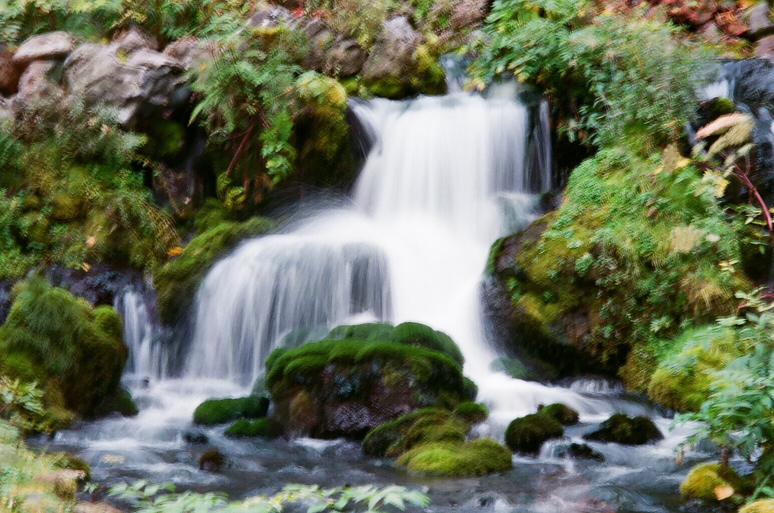
名水公園
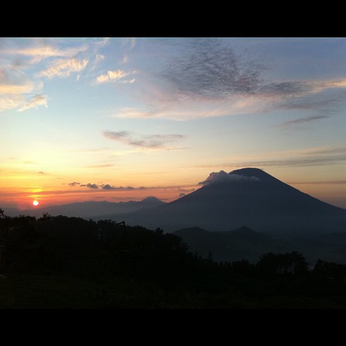
Mt.Yoteizan & #sunset / This evening

2014-08-27 11-12-54

_MG_2281.jpg

ジャイアントコース
20120128-1347-07.jpg
Fukidashi Park

晴れてきてテンションアップ
Mt.Yotei
Topographic Map of Kimobetsu, Abuta District, Hokkaido Prefecture, Japan
Find elevation by address:

Places in Kimobetsu, Abuta District, Hokkaido Prefecture, Japan:
Chiraibetsu, Kimobetsu-chō, Abuta-gun, Hokkaidō -, Japan
25 Suzukawa, Kimobetsu-chō, Abuta-gun, Hokkaidō -, Japan
Places near Kimobetsu, Abuta District, Hokkaido Prefecture, Japan:
25 Suzukawa, Kimobetsu-chō, Abuta-gun, Hokkaidō -, Japan
Rusutsu Resort Hotel & Convention
Rusutsu Resort Hotel & Convention
Izumikawa
Chiraibetsu, Kimobetsu-chō, Abuta-gun, Hokkaidō -, Japan
305 Kawanishi
Kyogoku
Rusutsu
Kawanishi, Kyōgoku-chō, Abuta-gun, Hokkaidō -, Japan
Kuroda, Rusutsu-mura, Abuta-gun, Hokkaidō -, Japan
Abuta District
Ōhara, Tōyako-chō, Abuta-gun, Hokkaidō -, Japan
70 Miharashi, Makkari-mura, Abuta-gun, Hokkaidō -, Japan
Mizuho, Kutchan-chō, Abuta-gun, Hokkaidō -, Japan
6-5 Asahiura, Tōyako-chō, Abuta-gun, Hokkaidō -, Japan
Kutchan
59 Naruka, Tōyako-chō, Abuta-gun, Hokkaidō -, Japan
14-14 Minamikubonai, Sōbetsu-chō, Usu-gun, Hokkaidō -, Japan
Usu District
Naruka, Tōyako-chō, Abuta-gun, Hokkaidō -, Japan
Recent Searches:
- Elevation of 24, Auburn Bay Crescent SE, Auburn Bay, Calgary, Alberta, T3M 0A6, Canada
- Elevation of Denver, 2314, Arapahoe Street, Five Points, Denver, Colorado, 80205, USA
- Elevation of Community of the Beatitudes, 2924, West 43rd Avenue, Sunnyside, Denver, Colorado, 80211, USA
- Elevation map of Litang County, Sichuan, China
- Elevation map of Madoi County, Qinghai, China
- Elevation of 3314, Ohio State Route 114, Payne, Paulding County, Ohio, 45880, USA
- Elevation of Sarahills Drive, Saratoga, Santa Clara County, California, 95070, USA
- Elevation of Town of Bombay, Franklin County, New York, USA
- Elevation of 9, Convent Lane, Center Moriches, Suffolk County, New York, 11934, USA
- Elevation of Saint Angelas Convent, 9, Convent Lane, Center Moriches, Suffolk County, New York, 11934, USA
- Elevation of 131st Street Southwest, Mukilteo, Snohomish County, Washington, 98275, USA
- Elevation of 304, Harrison Road, Naples, Cumberland County, Maine, 04055, USA
- Elevation of 2362, Timber Ridge Road, Harrisburg, Cabarrus County, North Carolina, 28075, USA
- Elevation of Ridge Road, Marshalltown, Marshall County, Iowa, 50158, USA
- Elevation of 2459, Misty Shadows Drive, Pigeon Forge, Sevier County, Tennessee, 37862, USA
- Elevation of 8043, Brightwater Way, Spring Hill, Williamson County, Tennessee, 37179, USA
- Elevation of Starkweather Road, San Luis, Costilla County, Colorado, 81152, USA
- Elevation of 5277, Woodside Drive, Baton Rouge, East Baton Rouge Parish, Louisiana, 70808, USA
- Elevation of 1139, Curtin Street, Shepherd Park Plaza, Houston, Harris County, Texas, 77018, USA
- Elevation of 136, Sellers Lane, Repton, Monroe County, Alabama, 36475, USA