Elevation of Kyogoku, Abuta District, Hokkaido Prefecture, Japan
Location: Japan > Hokkaido Prefecture > Abuta District >
Longitude: 140.884087
Latitude: 42.8582077
Elevation: 230m / 755feet
Barometric Pressure: 99KPa
Elevation Map:
Satellite Map:
Related Photos:

Mt Yotei watching over surrounding farm fields.

P1000546 Another great view of Yotei on the way home
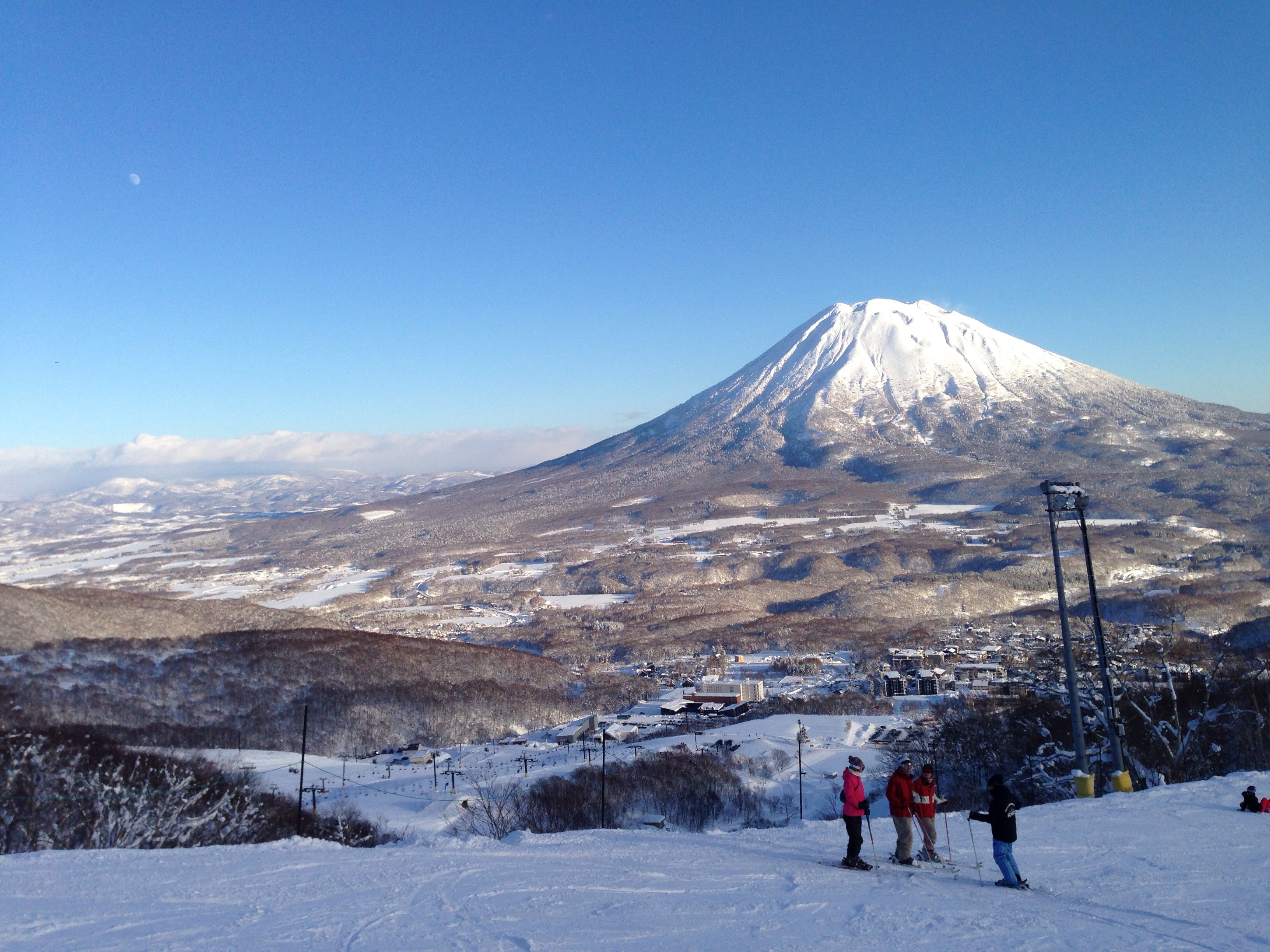
Snowboarding Down with this View
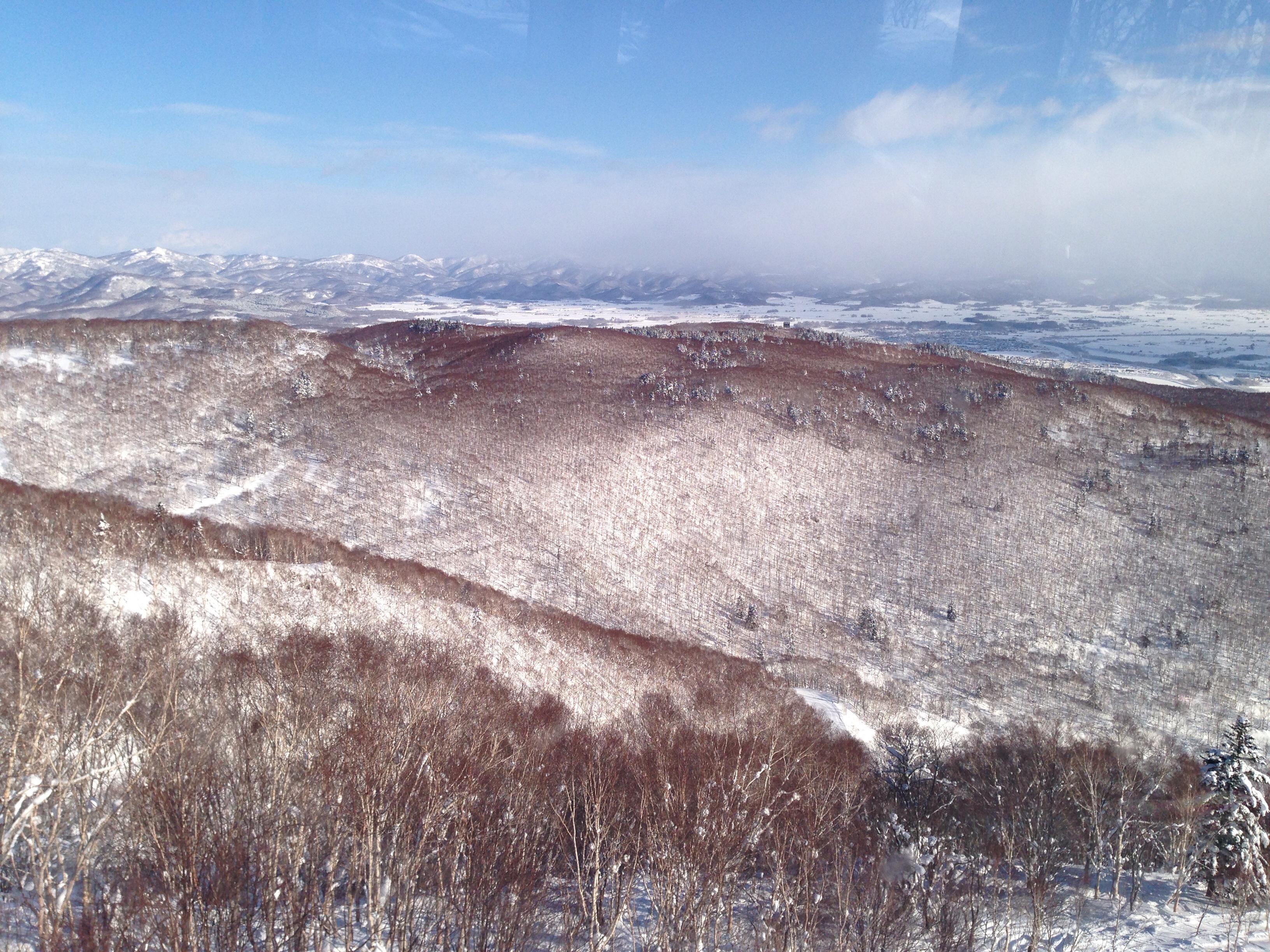
View over Niseko on the 3rd Day
Topographic Map of Kyogoku, Abuta District, Hokkaido Prefecture, Japan
Find elevation by address:

Places in Kyogoku, Abuta District, Hokkaido Prefecture, Japan:
Places near Kyogoku, Abuta District, Hokkaido Prefecture, Japan:
305 Kawanishi
Kawanishi, Kyōgoku-chō, Abuta-gun, Hokkaidō -, Japan
Kimobetsu
Abuta District
Rusutsu Resort Hotel & Convention
Rusutsu Resort Hotel & Convention
Izumikawa
Rusutsu
Mizuho, Kutchan-chō, Abuta-gun, Hokkaidō -, Japan
25 Suzukawa, Kimobetsu-chō, Abuta-gun, Hokkaidō -, Japan
Kutchan
70 Miharashi, Makkari-mura, Abuta-gun, Hokkaidō -, Japan
Chiraibetsu, Kimobetsu-chō, Abuta-gun, Hokkaidō -, Japan
Kuroda, Rusutsu-mura, Abuta-gun, Hokkaidō -, Japan
30- Kabayama, Kutchan-chō, Abuta-gun, Hokkaidō -, Japan
Ōhara, Tōyako-chō, Abuta-gun, Hokkaidō -, Japan
65-35 Kabayama, Kutchan-chō, Abuta-gun, Hokkaidō -, Japan
Yamada, Kutchan-chō, Abuta-gun, Hokkaidō -, Japan
Iwaobetsu, Kutchan-chō, Abuta-gun, Hokkaidō -, Japan
Niseko
Recent Searches:
- Elevation of Corso Fratelli Cairoli, 35, Macerata MC, Italy
- Elevation of Tallevast Rd, Sarasota, FL, USA
- Elevation of 4th St E, Sonoma, CA, USA
- Elevation of Black Hollow Rd, Pennsdale, PA, USA
- Elevation of Oakland Ave, Williamsport, PA, USA
- Elevation of Pedrógão Grande, Portugal
- Elevation of Klee Dr, Martinsburg, WV, USA
- Elevation of Via Roma, Pieranica CR, Italy
- Elevation of Tavkvetili Mountain, Georgia
- Elevation of Hartfords Bluff Cir, Mt Pleasant, SC, USA