Elevation map of Kilimanjaro, Tanzania
Location: Tanzania >
Longitude: 37.8087693
Latitude: -4.1336927
Elevation: 1154m / 3786feet
Barometric Pressure: 88KPa
Elevation Map:
Satellite Map:
Related Photos:
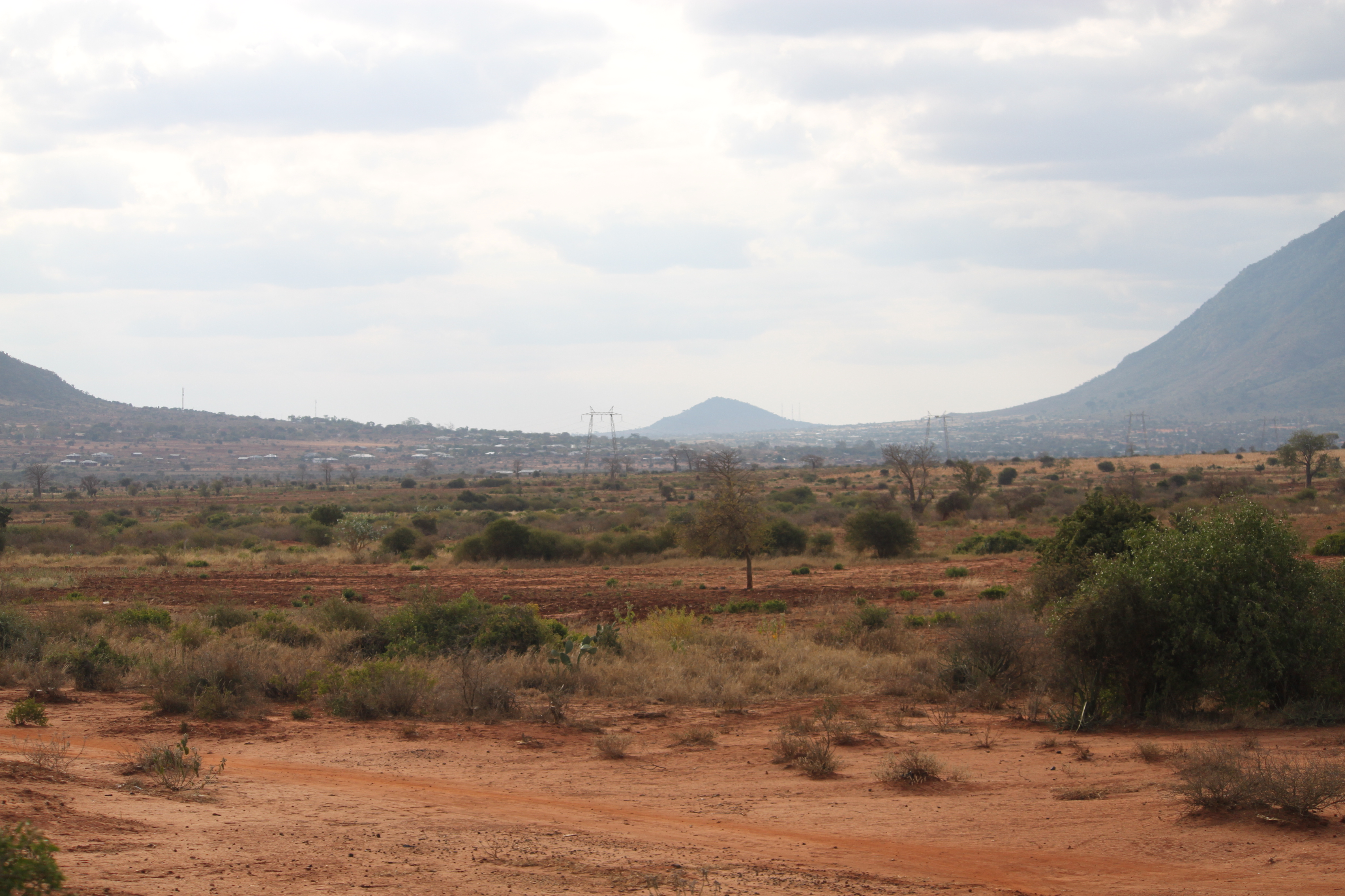
IMG_0237
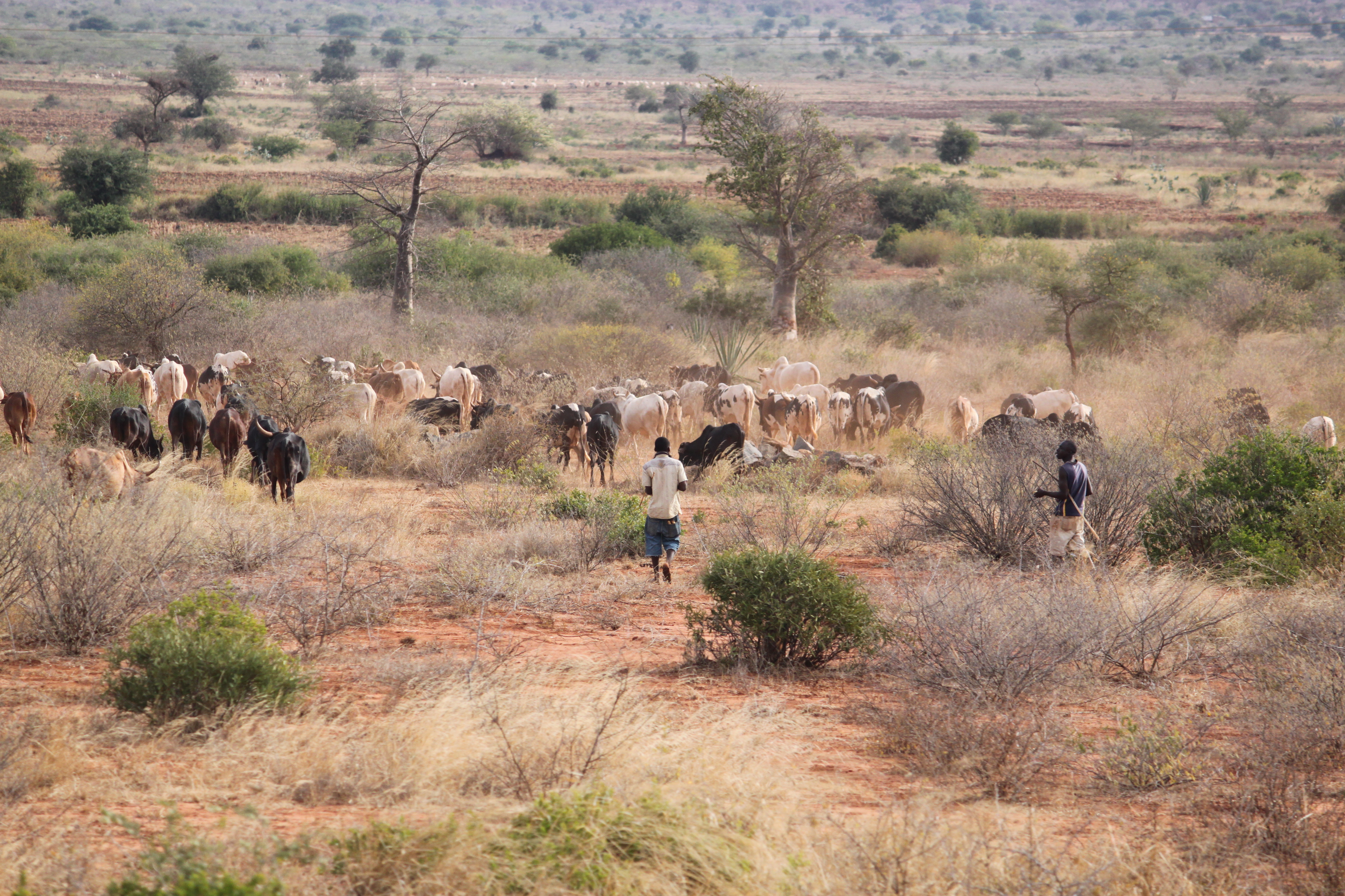
IMG_0239
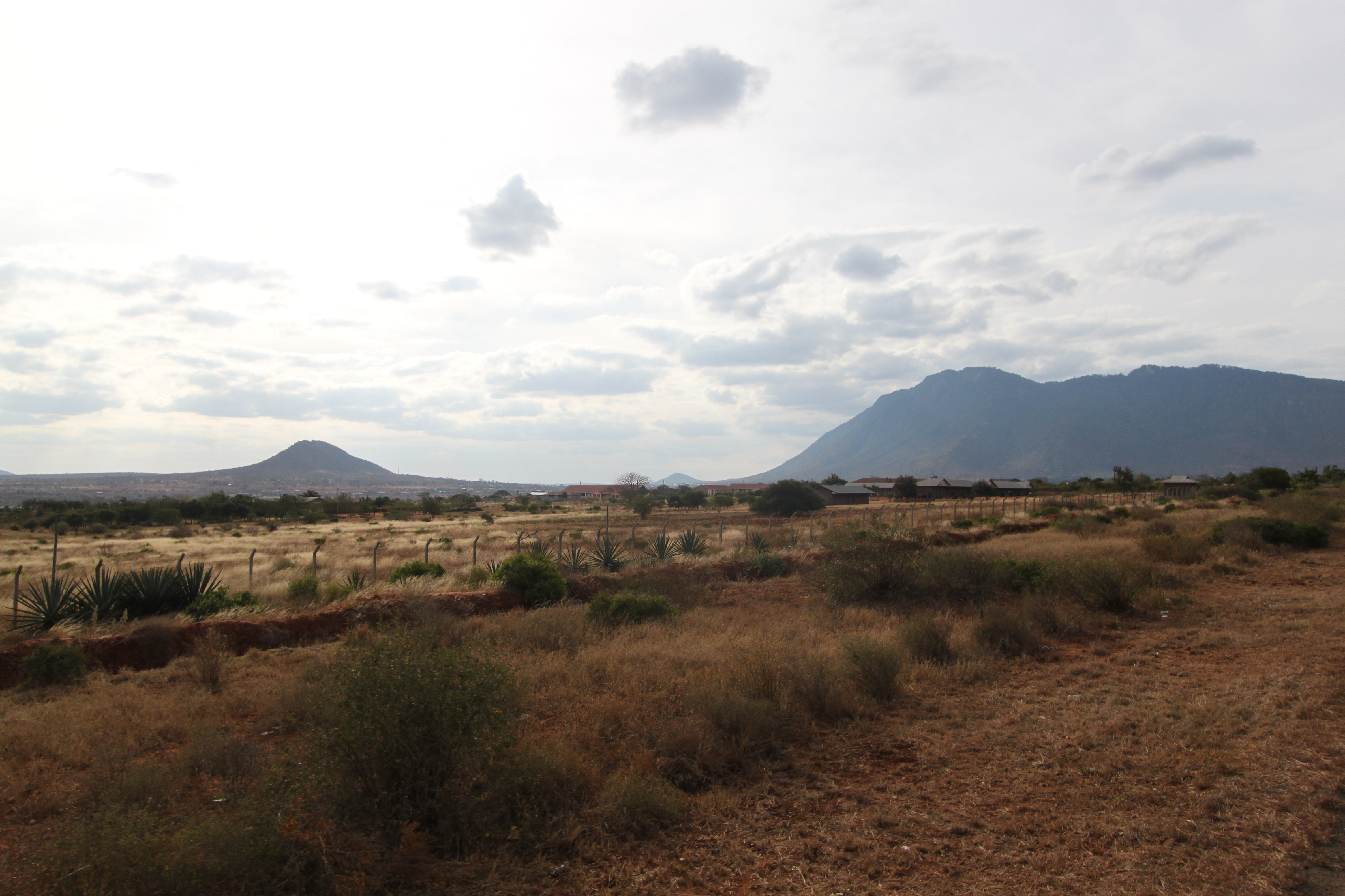
IMG_0241
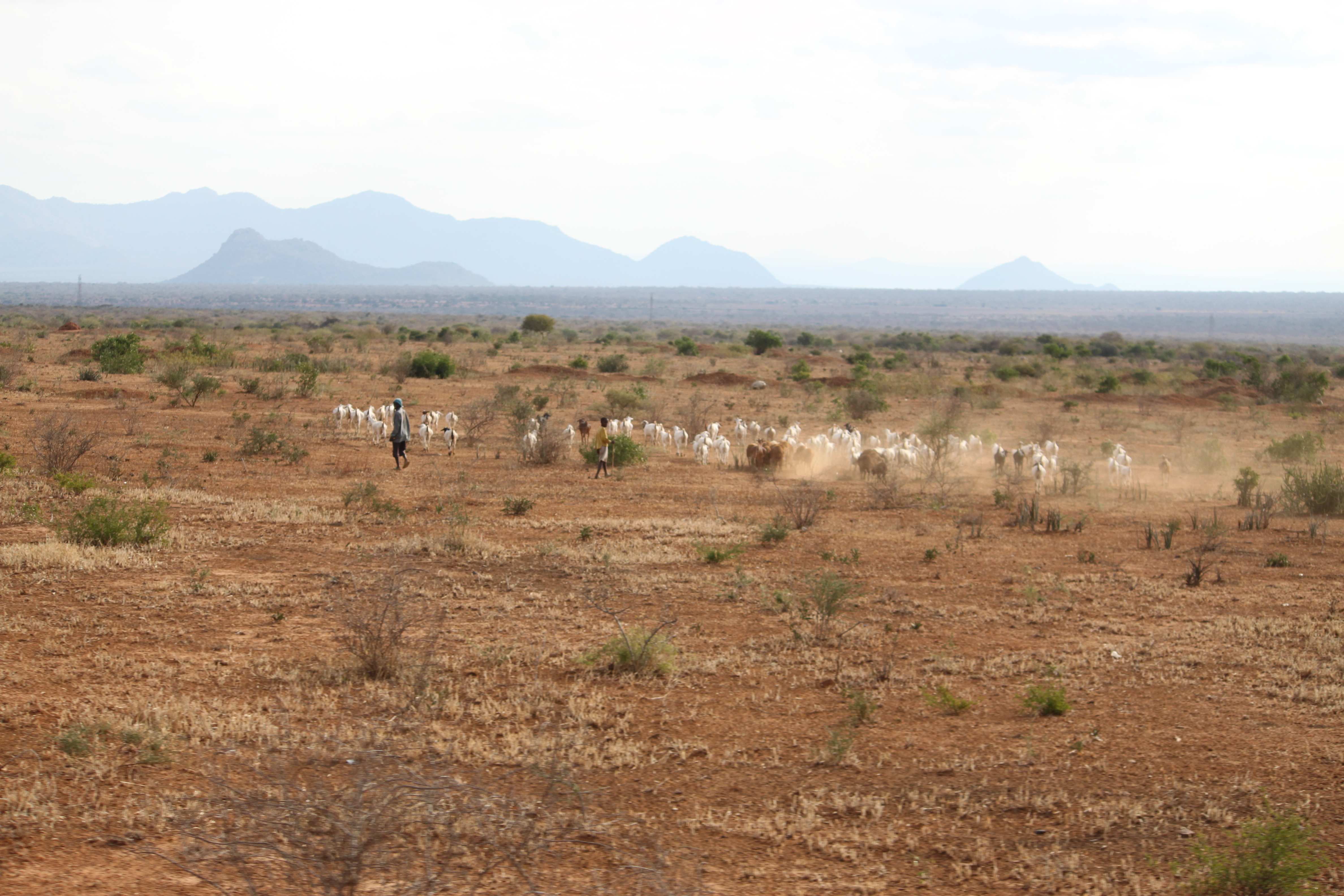
IMG_0236
IMG_0235

Starting my day like this with le hommie @thisisgosby #dillyhustles #pixelbasetz #kilimanjaro #traveltanzania #kilimanjaro #travelafrica
Topographic Map of Kilimanjaro, Tanzania
Find elevation by address:

Places in Kilimanjaro, Tanzania:
Places near Kilimanjaro, Tanzania:
Same
Limuru
Mwanga
Mwanga
Moshi Urban
Moshi Rural
Pasua Primary School
Pasua
Marangu Gate
Marangu
Mamba Kaskazini
Lindi Street
Kiboriloni
Old Moshi Mashariki
Moshi Urban Water Supply And Sewerage Authority
Airport Drive
Moshi
Shanty Town
Mandara Huts
Rombo
Recent Searches:
- Elevation of Corso Fratelli Cairoli, 35, Macerata MC, Italy
- Elevation of Tallevast Rd, Sarasota, FL, USA
- Elevation of 4th St E, Sonoma, CA, USA
- Elevation of Black Hollow Rd, Pennsdale, PA, USA
- Elevation of Oakland Ave, Williamsport, PA, USA
- Elevation of Pedrógão Grande, Portugal
- Elevation of Klee Dr, Martinsburg, WV, USA
- Elevation of Via Roma, Pieranica CR, Italy
- Elevation of Tavkvetili Mountain, Georgia
- Elevation of Hartfords Bluff Cir, Mt Pleasant, SC, USA