Elevation map of Same, Tanzania
Location: Tanzania > Kilimanjaro >
Longitude: 37.8087693
Latitude: -4.1336927
Elevation: 1154m / 3786feet
Barometric Pressure: 88KPa
Elevation Map:
Satellite Map:
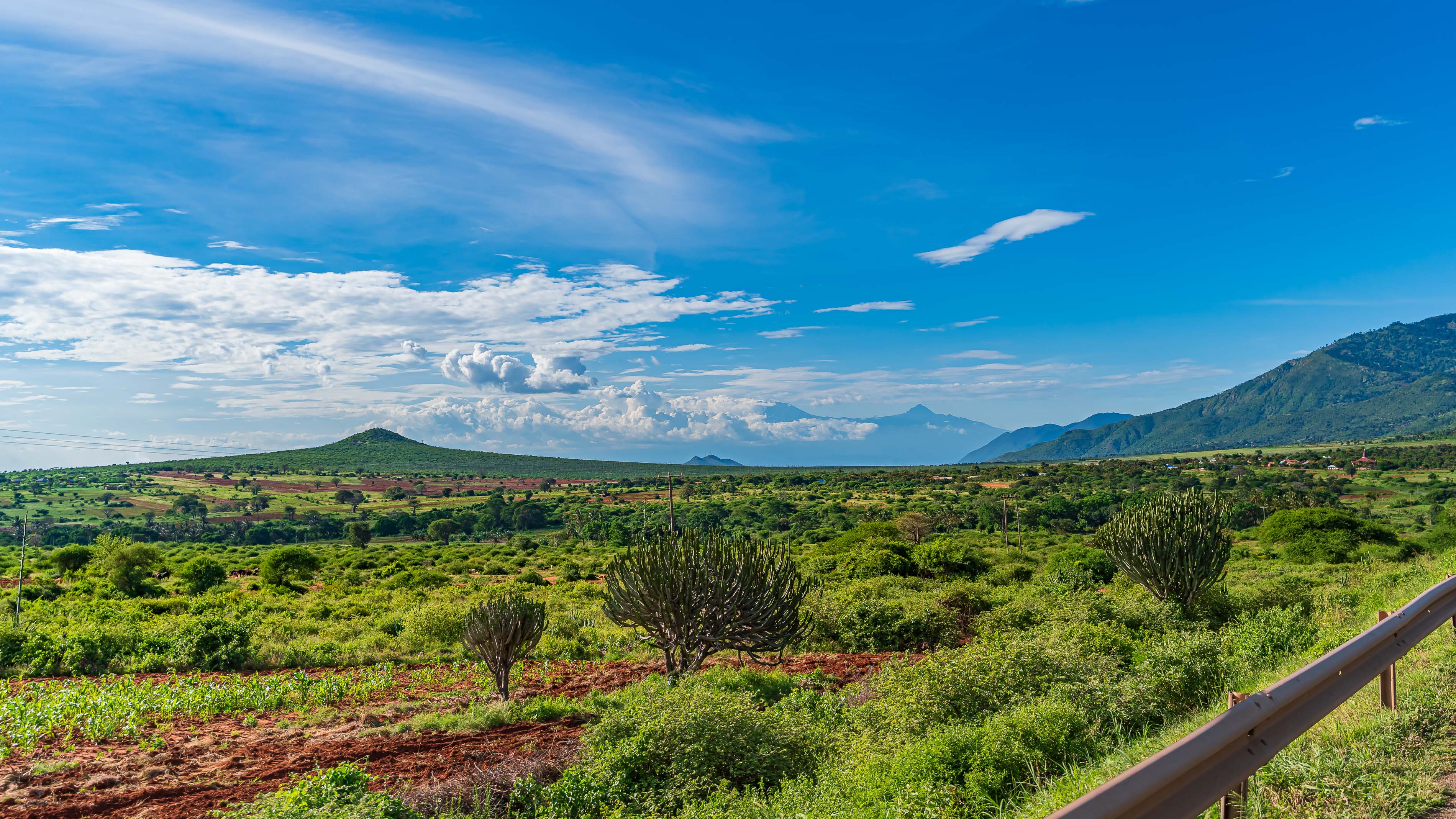
Related Photos:

001-IMG_6773

Foto 24-09-17 08 30 24
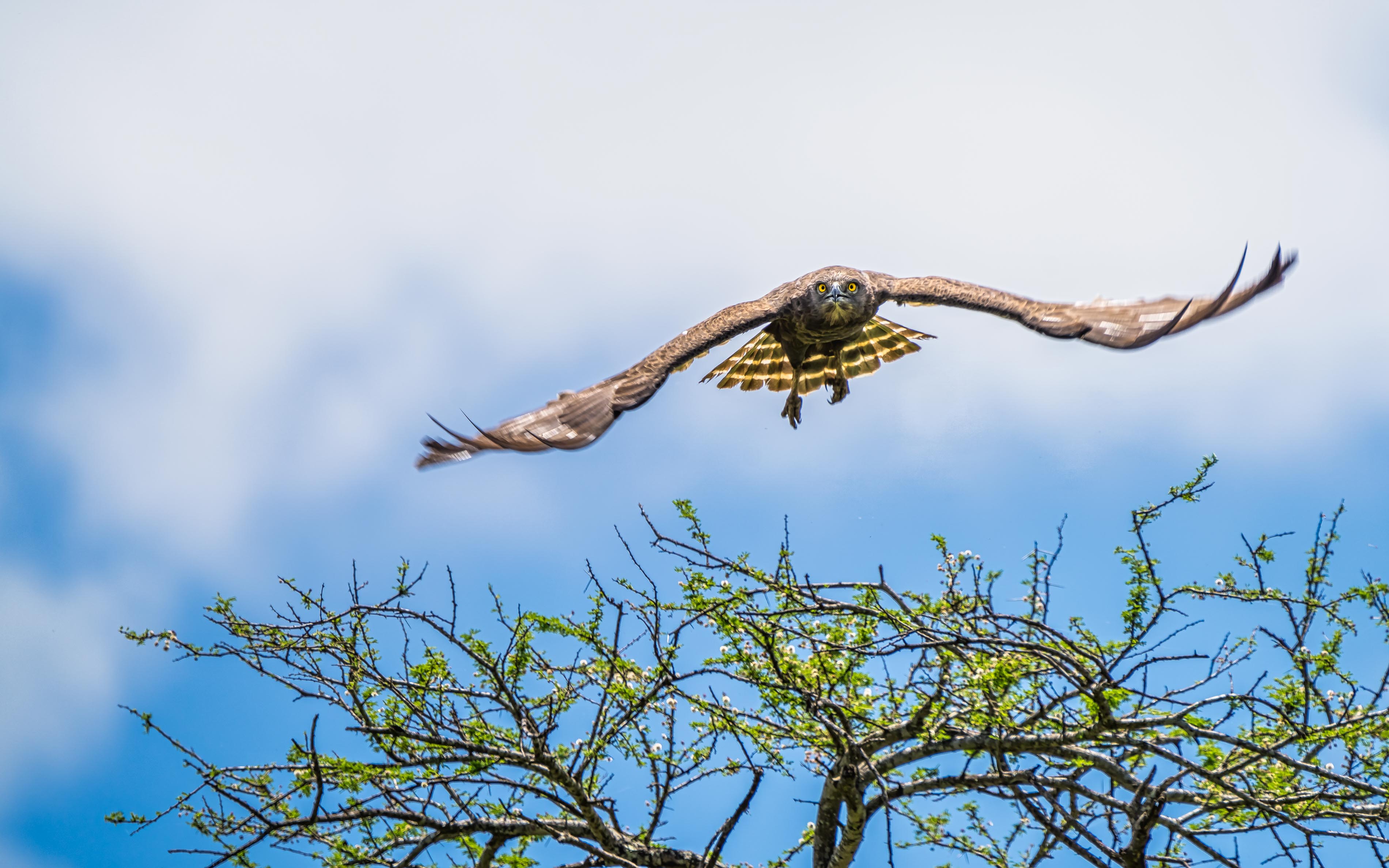
Brown Snake Eagle

125-_CAC4287-20200322

122-_CAC4271-20200322

123-_CAC4280-20200322

121-_CAC4259-20200322

118-_PGC8389-20200321

120-_CAC4256-20200322

119-_PGC8391-20200321

116-_CAC4247-20200322
115-_CAC4241-20200322

114-_CAC4239-20200322

113-_CAC4238-20200322

112-_PGC8380-20200321

111-_PGC8377-20200321

110-_CAC4185-20200322

109-_CAC4180-20200322

108-_CAC4179-20200322

124-_CAC4284-20200322

144-_PGC8453-20200321

145-_PGC8482-20200321

141-_CAC4401-20200322
Topographic Map of Same, Tanzania
Find elevation by address:

Places near Same, Tanzania:
Kilimanjaro
Limuru
Mwanga
Mwanga
Moshi Urban
Moshi Rural
Pasua Primary School
Pasua
Marangu Gate
Marangu
Mamba Kaskazini
Lindi Street
Kiboriloni
Old Moshi Mashariki
Moshi Urban Water Supply And Sewerage Authority
Airport Drive
Moshi
Shanty Town
Mandara Huts
Rombo
Recent Searches:
- Elevation of Corso Fratelli Cairoli, 35, Macerata MC, Italy
- Elevation of Tallevast Rd, Sarasota, FL, USA
- Elevation of 4th St E, Sonoma, CA, USA
- Elevation of Black Hollow Rd, Pennsdale, PA, USA
- Elevation of Oakland Ave, Williamsport, PA, USA
- Elevation of Pedrógão Grande, Portugal
- Elevation of Klee Dr, Martinsburg, WV, USA
- Elevation of Via Roma, Pieranica CR, Italy
- Elevation of Tavkvetili Mountain, Georgia
- Elevation of Hartfords Bluff Cir, Mt Pleasant, SC, USA