Elevation map of Kharagpur, West Bengal, India
Location: India > West Bengal > West Medinipur >
Longitude: 87.3016132
Latitude: 22.1208385
Elevation: 23m / 75feet
Barometric Pressure: 101KPa
Elevation Map:
Satellite Map:
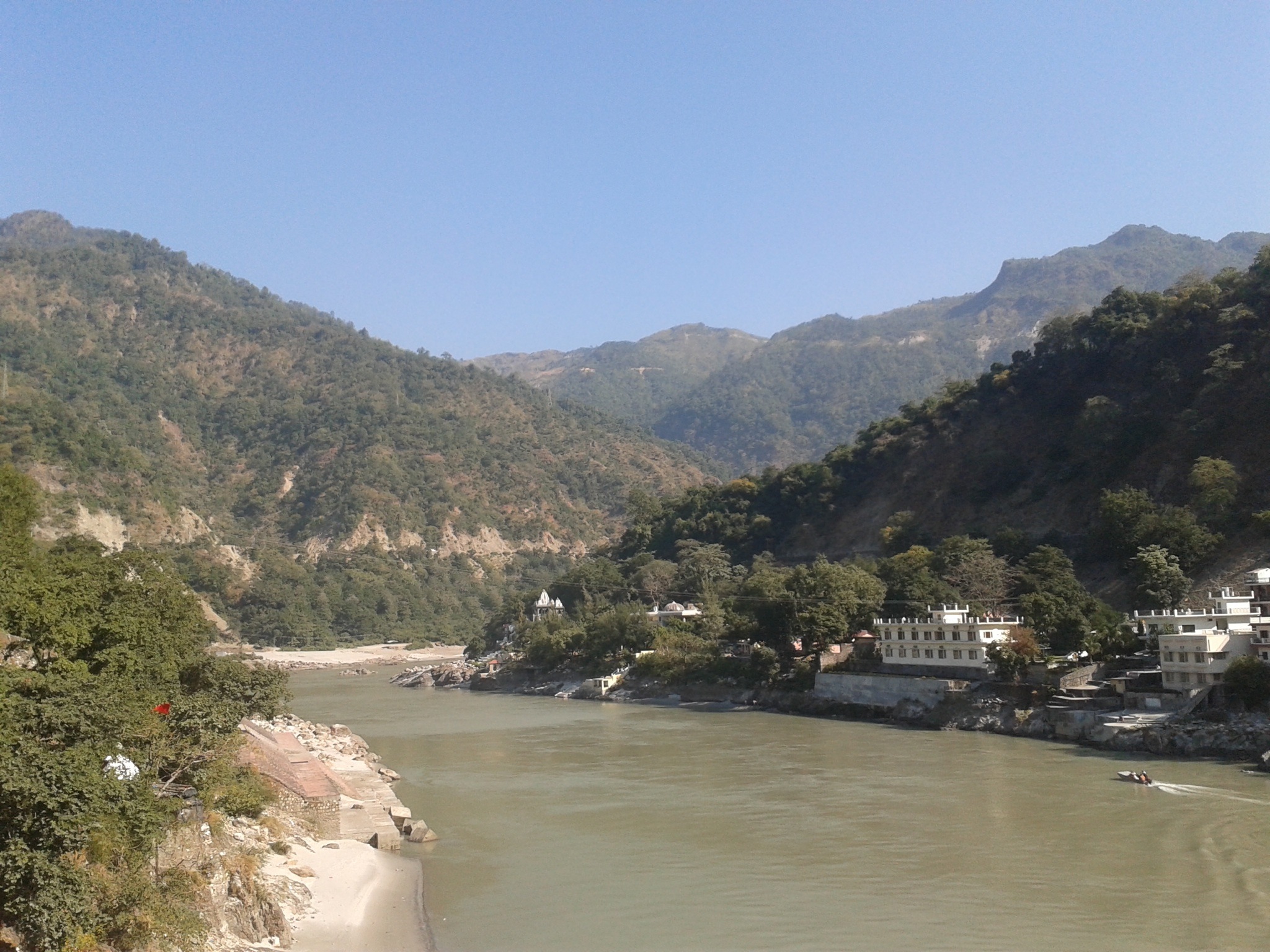
Related Photos:
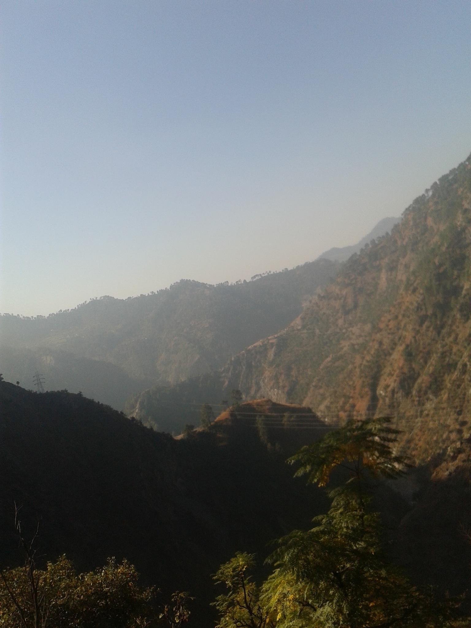
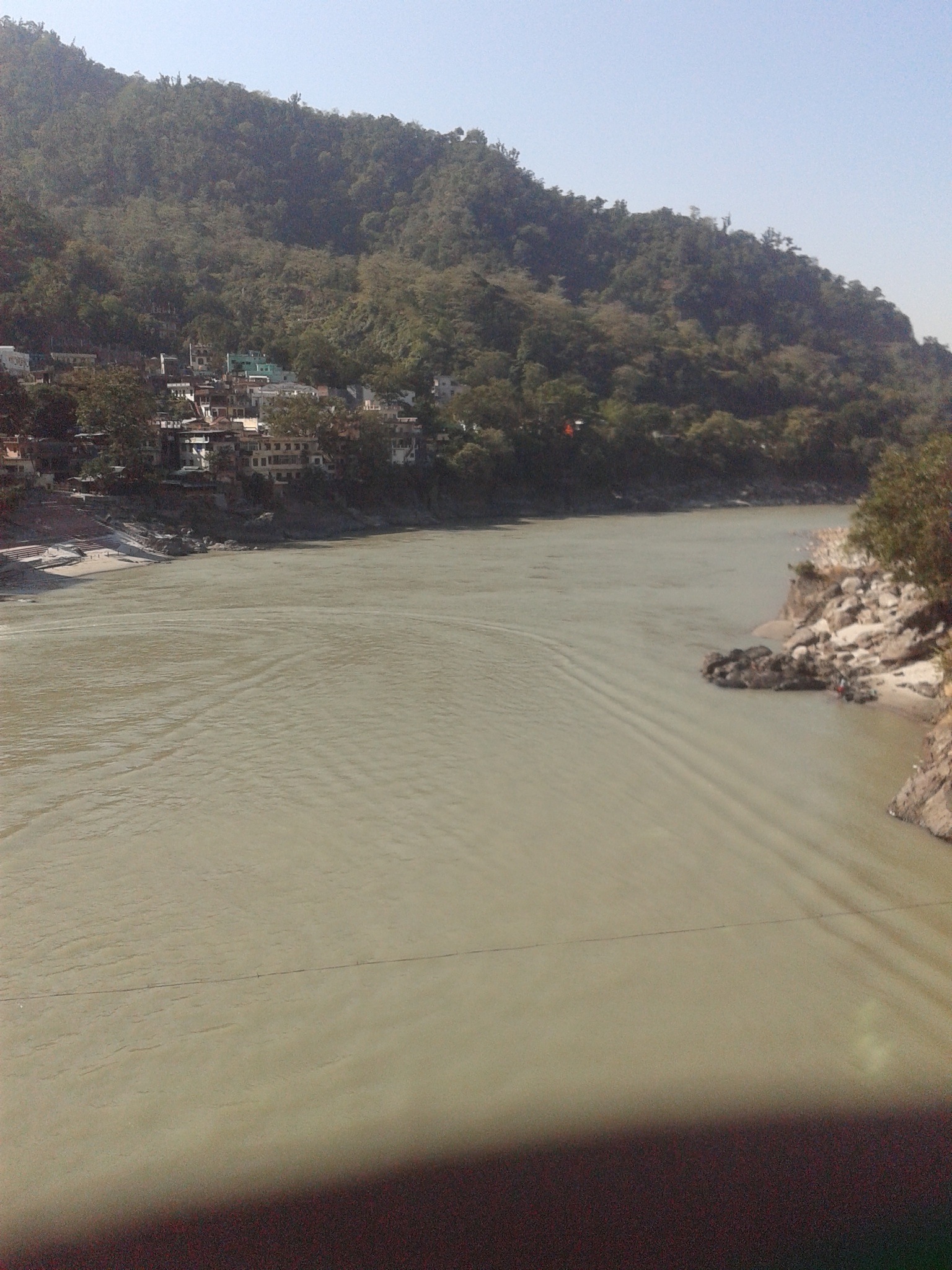
Best Photos

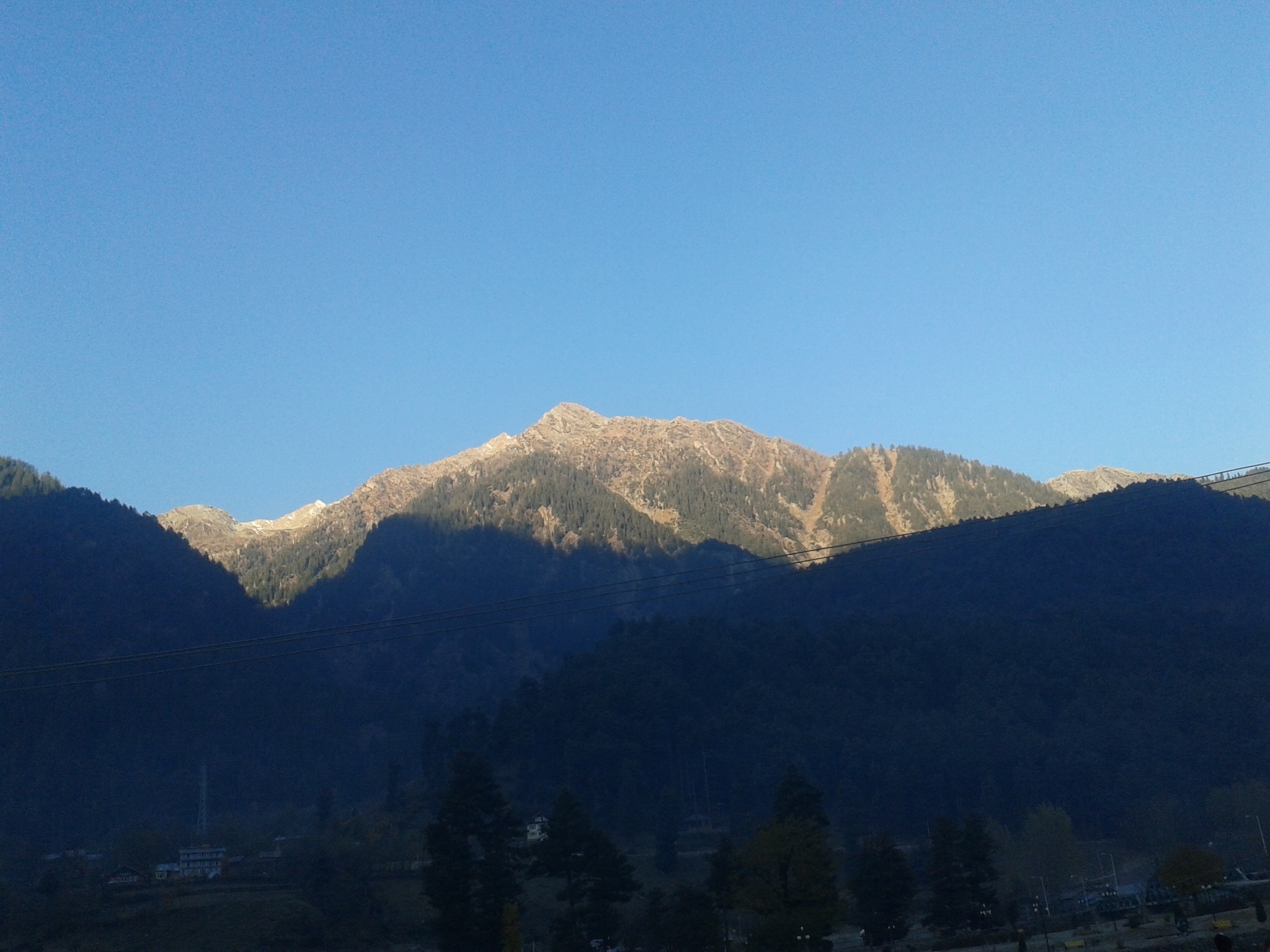
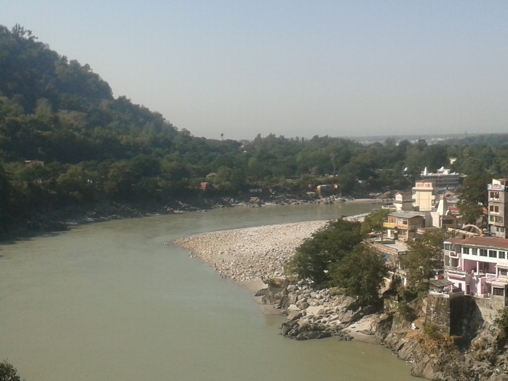
Best Photos
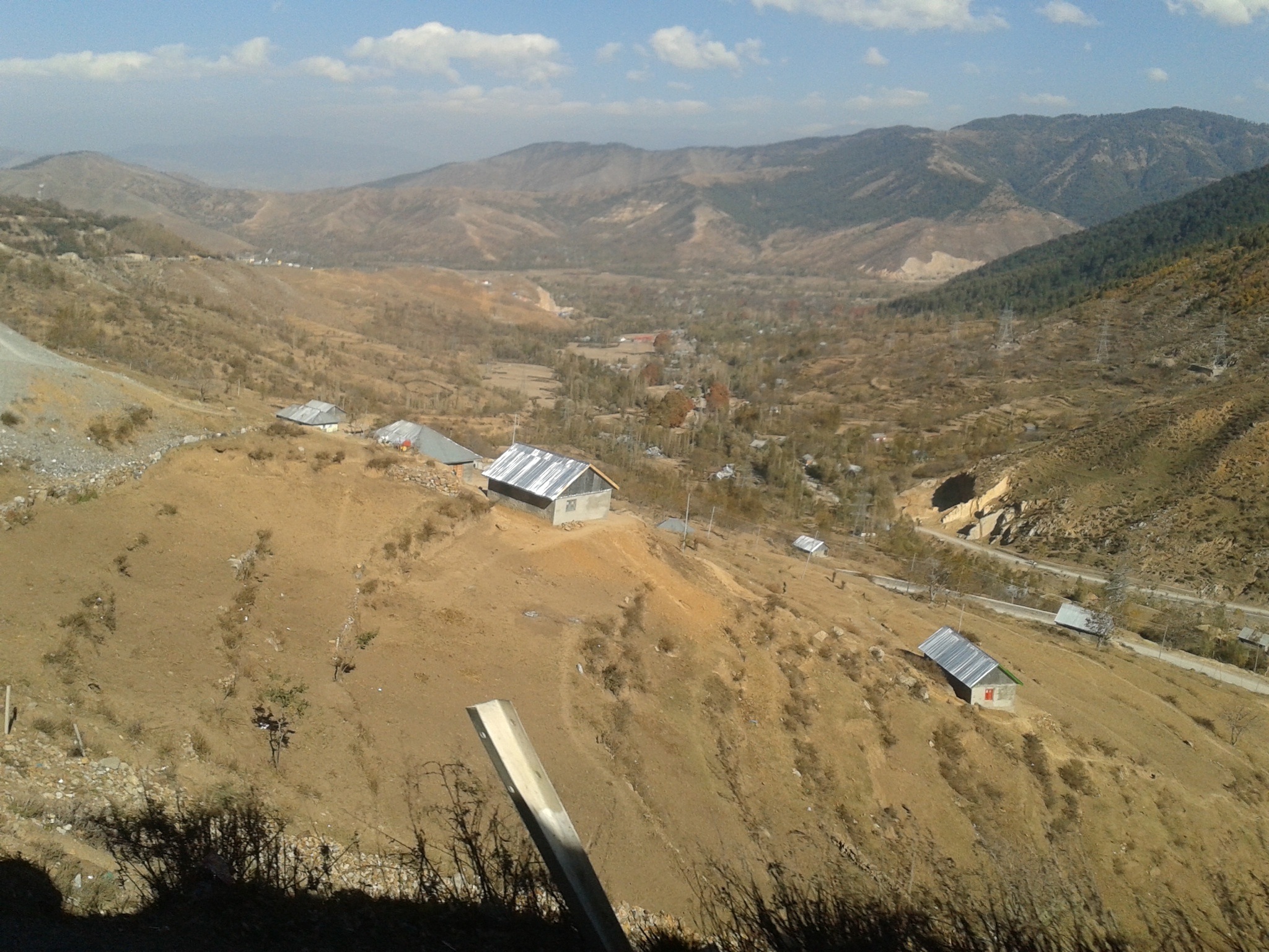
Best Photos
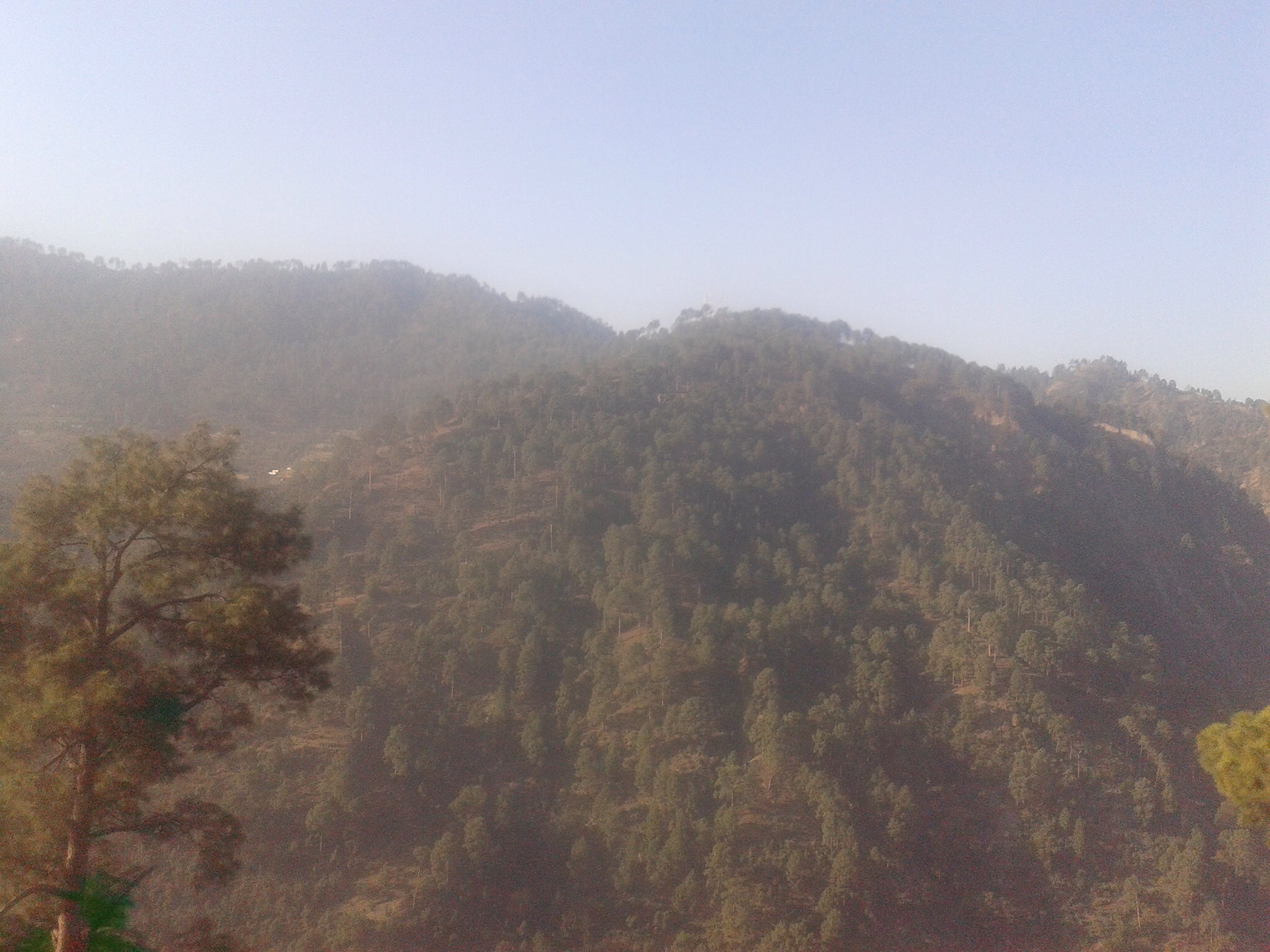
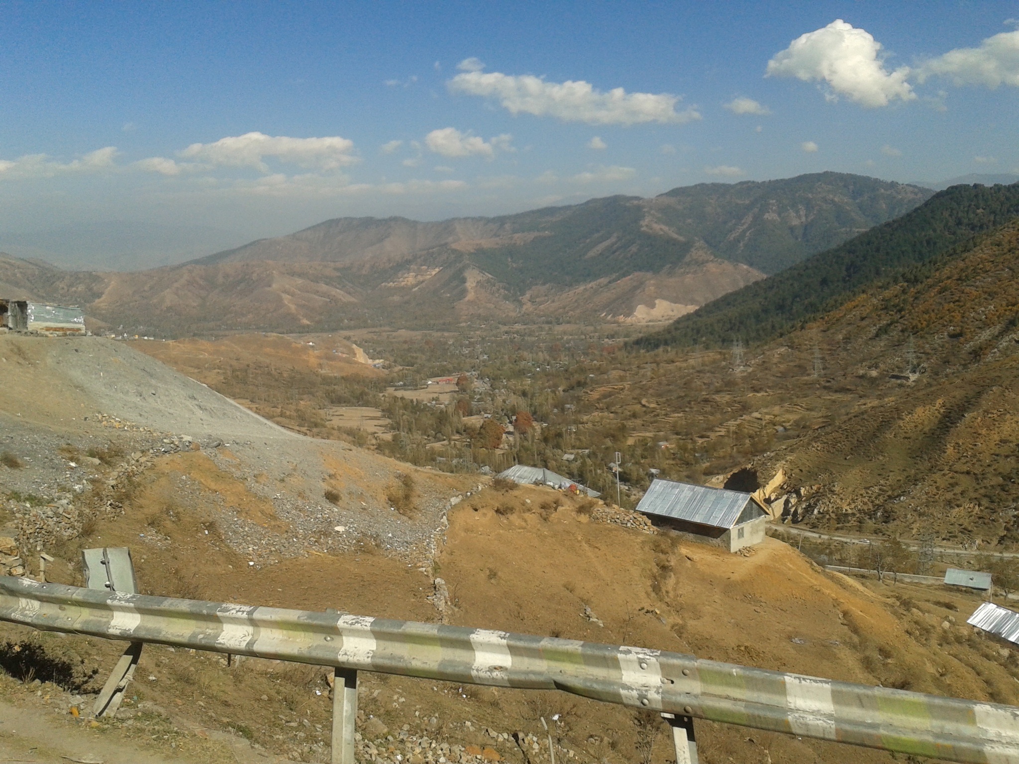
Best Photos

Best Photos
Best Photos
Best Photos

Best Photos
Best Photos

Best Photos

Best Photos
Best Photos
Best Photos
Best Photos

Best Photos
Best Photos
Best Photos
Best Photos

Best Photos
Best Photos
Topographic Map of Kharagpur, West Bengal, India
Find elevation by address:

Places in Kharagpur, West Bengal, India:
Places near Kharagpur, West Bengal, India:
Kharagpur
West Medinipur
Mohanpur
Medinipur
Ulta
Purba Medinipur
Hugli
Baguran Jalpai
Haldia
Uluberia
South 24 Parganas
137, School Rd
Gangapuri
Kudghat Bazar
W2c-s-18
Golf Green
Bijoygarh, Narikel Bagan
9/19/1, Jadavpur Central Rd, Narikel Bagan
19, East Rd, Bidhanpally
19, East Rd, Bidhanpally
Recent Searches:
- Elevation of Corso Fratelli Cairoli, 35, Macerata MC, Italy
- Elevation of Tallevast Rd, Sarasota, FL, USA
- Elevation of 4th St E, Sonoma, CA, USA
- Elevation of Black Hollow Rd, Pennsdale, PA, USA
- Elevation of Oakland Ave, Williamsport, PA, USA
- Elevation of Pedrógão Grande, Portugal
- Elevation of Klee Dr, Martinsburg, WV, USA
- Elevation of Via Roma, Pieranica CR, Italy
- Elevation of Tavkvetili Mountain, Georgia
- Elevation of Hartfords Bluff Cir, Mt Pleasant, SC, USA