Elevation of Uluberia, Howrah, West Bengal, India
Location: India > West Bengal > Howrah > Howrah >
Longitude: 88.0897934
Latitude: 22.4763526
Elevation: 6m / 20feet
Barometric Pressure: 0KPa
Related Photos:
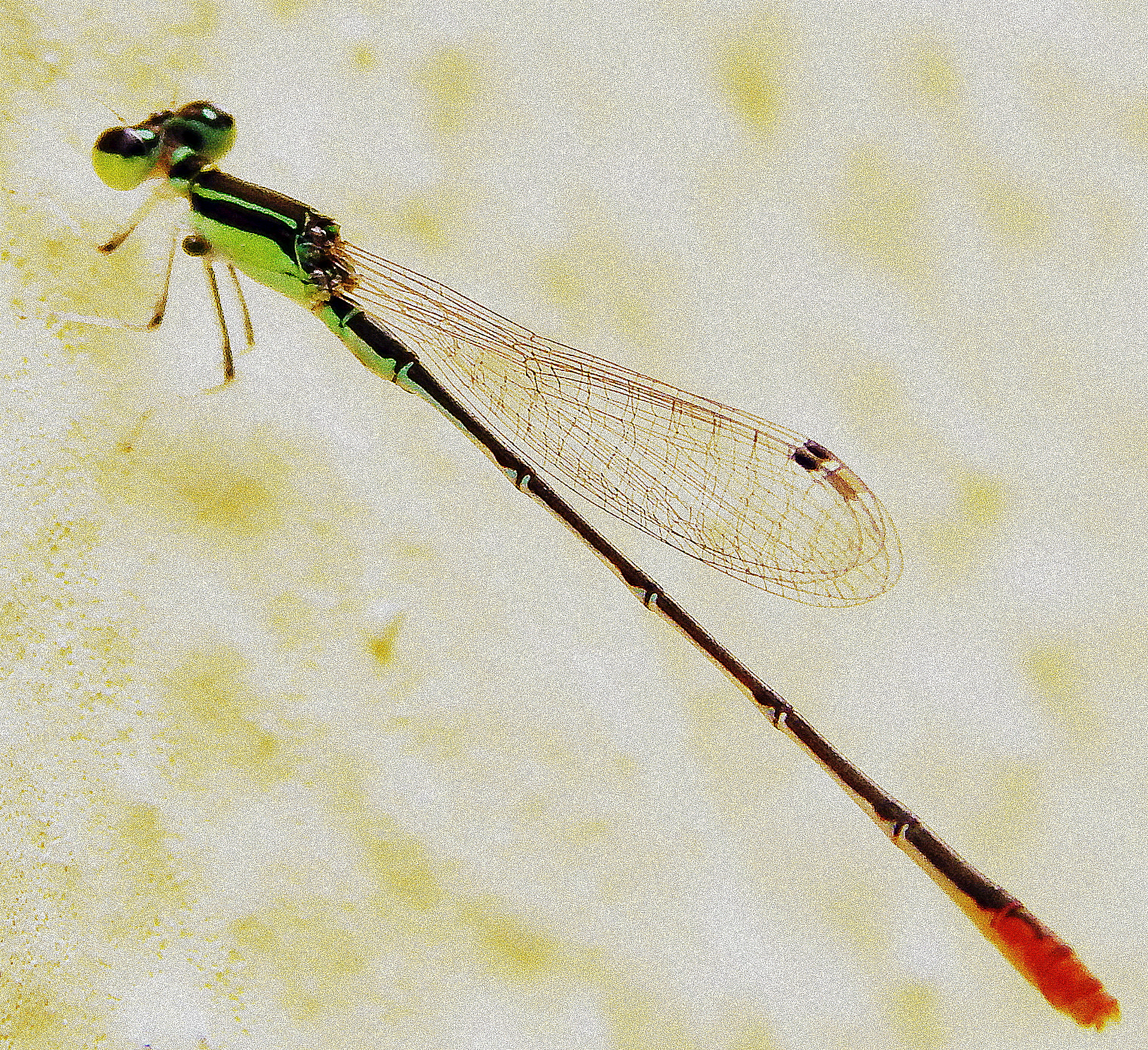
Macro View of Damselfly

নদীমাতৃক ১৭ / River Delta 17

Beautiful Ganga

lemon pansy

dragon fly

নদীমাতৃক ৪ / River Delta 4

Red-vented Bulbul

Running into the Sun....

The Legend..

Nature's painting

Pujo Asche

2016-03-17_01-29-56

2015-08-02_10-51-19
Topographic Map of Uluberia, Howrah, West Bengal, India
Find elevation by address:

Places near Uluberia, Howrah, West Bengal, India:
137, School Rd
Gangapuri
Kudghat Bazar
W2c-s-18
Golf Green
9/19/1, Jadavpur Central Rd, Narikel Bagan
Bijoygarh, Narikel Bagan
19, East Rd, Bidhanpally
19, East Rd, Bidhanpally
19, East Rd, Bidhanpally
19, East Rd, Bidhanpally
Peak Tower
1925, Chak Garia
Santoshpur
Haldia
South 24 Parganas
Purba Medinipur
West Medinipur
Medinipur
Hugli
Recent Searches:
- Elevation map of Greenland, Greenland
- Elevation of Sullivan Hill, New York, New York, 10002, USA
- Elevation of Morehead Road, Withrow Downs, Charlotte, Mecklenburg County, North Carolina, 28262, USA
- Elevation of 2800, Morehead Road, Withrow Downs, Charlotte, Mecklenburg County, North Carolina, 28262, USA
- Elevation of Yangbi Yi Autonomous County, Yunnan, China
- Elevation of Pingpo, Yangbi Yi Autonomous County, Yunnan, China
- Elevation of Mount Malong, Pingpo, Yangbi Yi Autonomous County, Yunnan, China
- Elevation map of Yongping County, Yunnan, China
- Elevation of North 8th Street, Palatka, Putnam County, Florida, 32177, USA
- Elevation of 107, Big Apple Road, East Palatka, Putnam County, Florida, 32131, USA
- Elevation of Jiezi, Chongzhou City, Sichuan, China
- Elevation of Chongzhou City, Sichuan, China
- Elevation of Huaiyuan, Chongzhou City, Sichuan, China
- Elevation of Qingxia, Chengdu, Sichuan, China
- Elevation of Corso Fratelli Cairoli, 35, Macerata MC, Italy
- Elevation of Tallevast Rd, Sarasota, FL, USA
- Elevation of 4th St E, Sonoma, CA, USA
- Elevation of Black Hollow Rd, Pennsdale, PA, USA
- Elevation of Oakland Ave, Williamsport, PA, USA
- Elevation of Pedrógão Grande, Portugal