Elevation of Kettlebrook Landing, Jeffersonton, VA, USA
Location: United States > Virginia > Culpeper County > Jefferson > Jeffersonton >
Longitude: -77.9311399
Latitude: 38.6690459
Elevation: 120m / 394feet
Barometric Pressure: 0KPa
Related Photos:

Virginia farm, Nov 2011 - 20

Virginia farm, Nov 2011 - 25

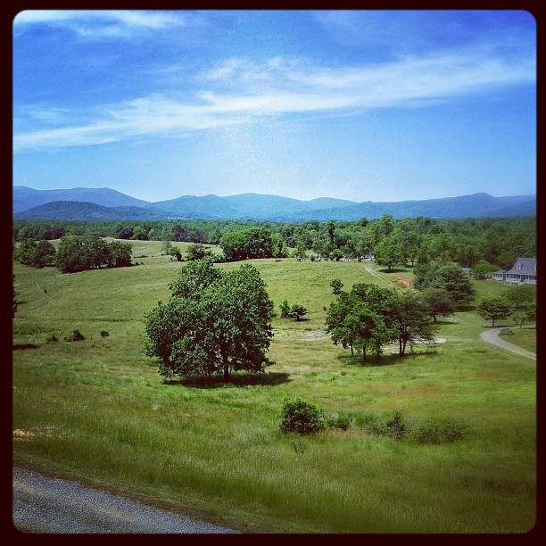
Distant Shenandoahs

End of Night at Hazel Mountain Overlook

Distant Shenandoahs

T-6 air to air
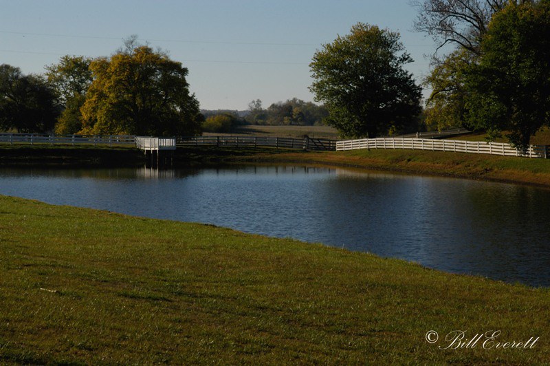
Farm pond, Fauquier County VA

Side view of the 9-7X Aero

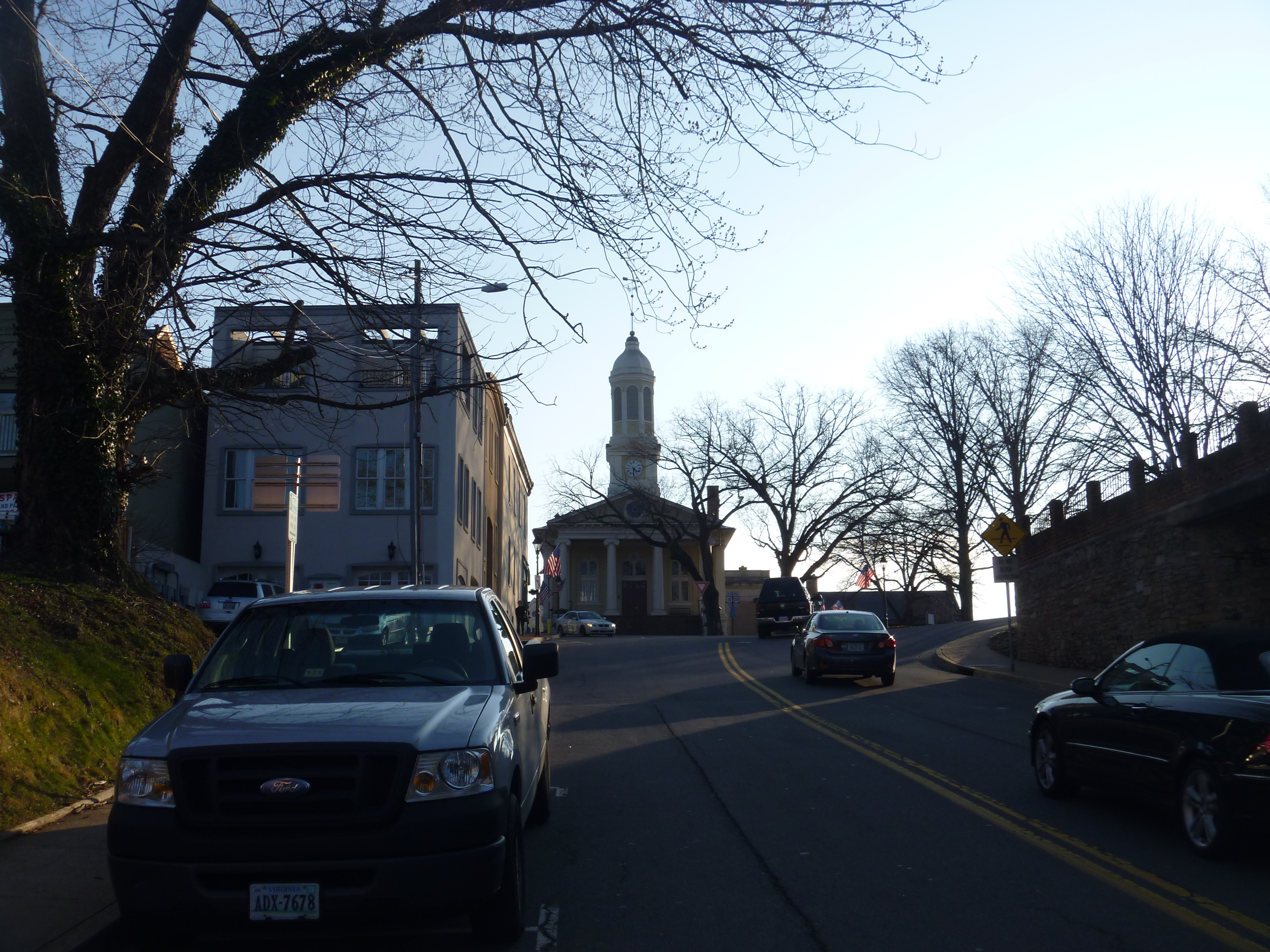
The Warren Green in Warrenton, Virginia

Tucquan Glen Nature Preserve in Lancaster County, Pa.

2013-08-18 (7) Eagle Scout Honor Court

Rayus C01 Logo Side View
View from mom's balcony

Rayus C01 Three Forths View

Rayus C01 Side View 2

Sky Meadows Beauty

Fauquier County Courthouse, Warrenton VA

Eastern View Of The Clocktower/Cupola Of The Fauquier County Courthouse
Distant View Of Fauquier County Courthouse
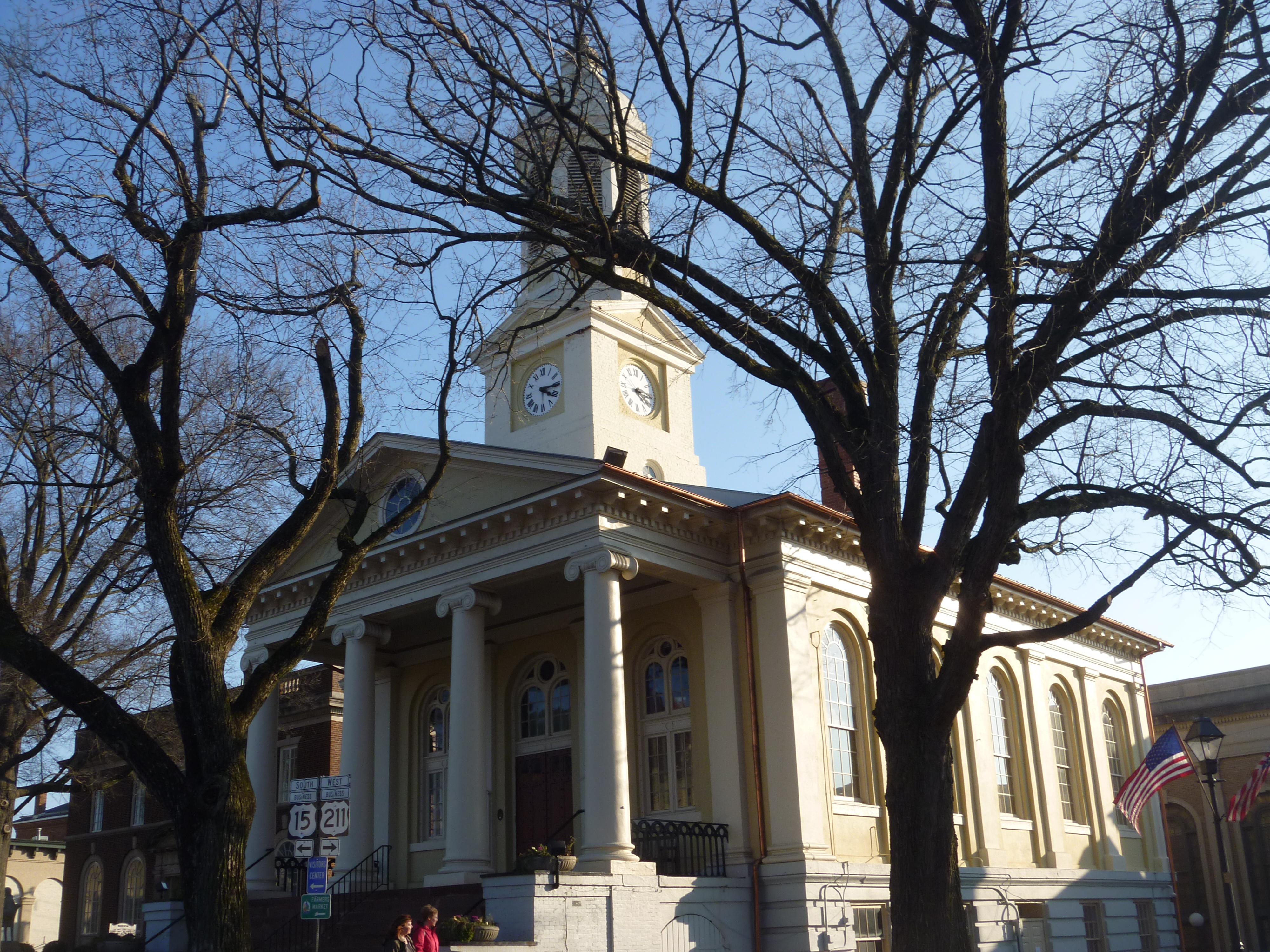
Western View Of Fauquier County Courthouse

Southern View Of Fauquier County Courthouse

North Wales Farm

Wine Vines

Fauquier County, Va.

Fauquier County, Va.

Wine Lake

Fauquier County, Va.

Fauquier County, Va.

Blue Ridge Mountains from US 211 Highway in Virginia

Fauquier County, Va.

Let my way be my home.

Lees Ridge

Heading to Shenandoah

Watching over the farm...

Orlean, Virginia

Luray Caverns

Fauquier County, Va.
Topographic Map of Kettlebrook Landing, Jeffersonton, VA, USA
Find elevation by address:

Places near Kettlebrook Landing, Jeffersonton, VA, USA:
17165 Stoneleigh Pl
Durham Pl, Jeffersonton, VA, USA
3184 Somerset Dr
Jeffersonton
16345 Quail Ridge Dr
4117 Queens Ln
Covey Circle
Turnbull Road
6186 Sheads Ln
Amissville
Lee Hwy, Amissville, VA, USA
7264 Deer View Trail
Turnbull
3459 Waterford Rd
Jefferson
7580 Rixeyville Rd
8283 Opal Rd
Ida Belle Lane
Clover Hill Rd, Remington, VA, USA
Rixeyville
Recent Searches:
- Elevation of 10370, West 107th Circle, Westminster, Jefferson County, Colorado, 80021, USA
- Elevation of 611, Roman Road, Old Ford, Bow, London, England, E3 2RW, United Kingdom
- Elevation of 116, Beartown Road, Underhill, Chittenden County, Vermont, 05489, USA
- Elevation of Window Rock, Colfax County, New Mexico, 87714, USA
- Elevation of 4807, Rosecroft Street, Kempsville Gardens, Virginia Beach, Virginia, 23464, USA
- Elevation map of Matawinie, Quebec, Canada
- Elevation of Sainte-Émélie-de-l'Énergie, Matawinie, Quebec, Canada
- Elevation of Rue du Pont, Sainte-Émélie-de-l'Énergie, Matawinie, Quebec, J0K2K0, Canada
- Elevation of 8, Rue de Bécancour, Blainville, Thérèse-De Blainville, Quebec, J7B1N2, Canada
- Elevation of Wilmot Court North, 163, University Avenue West, Northdale, Waterloo, Region of Waterloo, Ontario, N2L6B6, Canada
- Elevation map of Panamá Province, Panama
- Elevation of Balboa, Panamá Province, Panama
- Elevation of San Miguel, Balboa, Panamá Province, Panama
- Elevation of Isla Gibraleón, San Miguel, Balboa, Panamá Province, Panama
- Elevation of 4655, Krischke Road, Schulenburg, Fayette County, Texas, 78956, USA
- Elevation of Carnegie Avenue, Downtown Cleveland, Cleveland, Cuyahoga County, Ohio, 44115, USA
- Elevation of Walhonding, Coshocton County, Ohio, USA
- Elevation of Clifton Down, Clifton, Bristol, City of Bristol, England, BS8 3HU, United Kingdom
- Elevation map of Auvergne-Rhône-Alpes, France
- Elevation map of Upper Savoy, Auvergne-Rhône-Alpes, France