Elevation of Ida Belle Lane, Ida Belle Ln, Jackson, VA, USA
Location: United States > Virginia > Rappahannock County > Jackson >
Longitude: -78.028228
Latitude: 38.656673
Elevation: 125m / 410feet
Barometric Pressure: 0KPa
Related Photos:
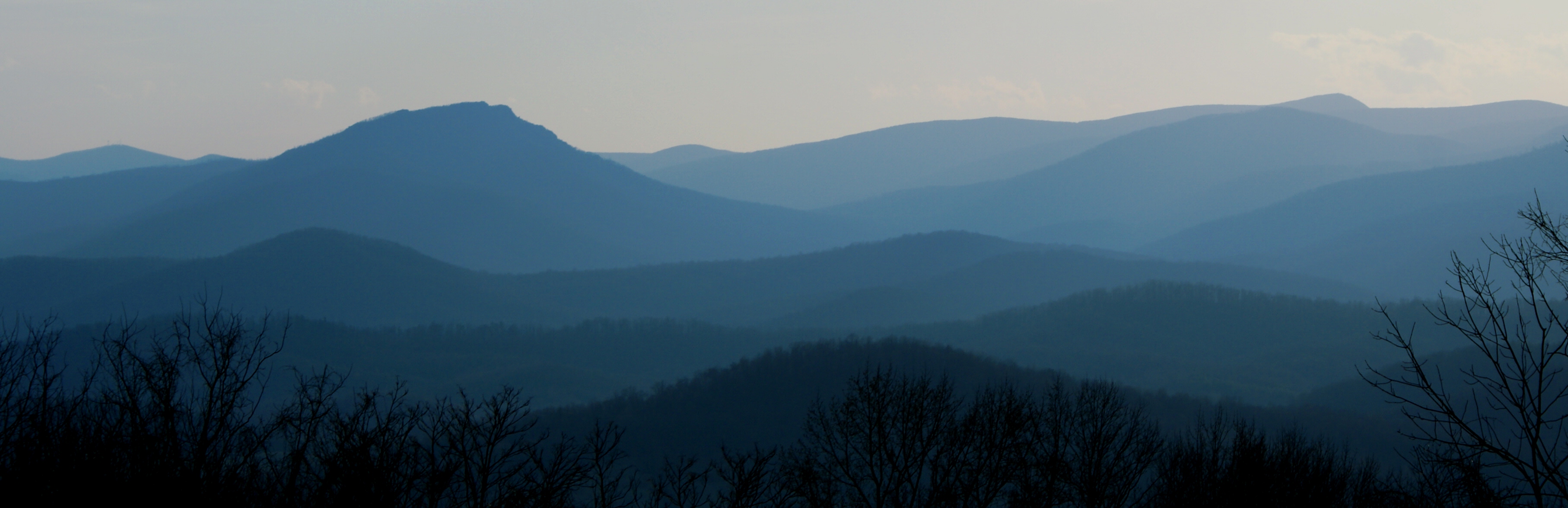
Old Rag & Mountains of Shenandoah

With a view

T-6 air to air

View from mom's balcony

Massies Corner July 2010
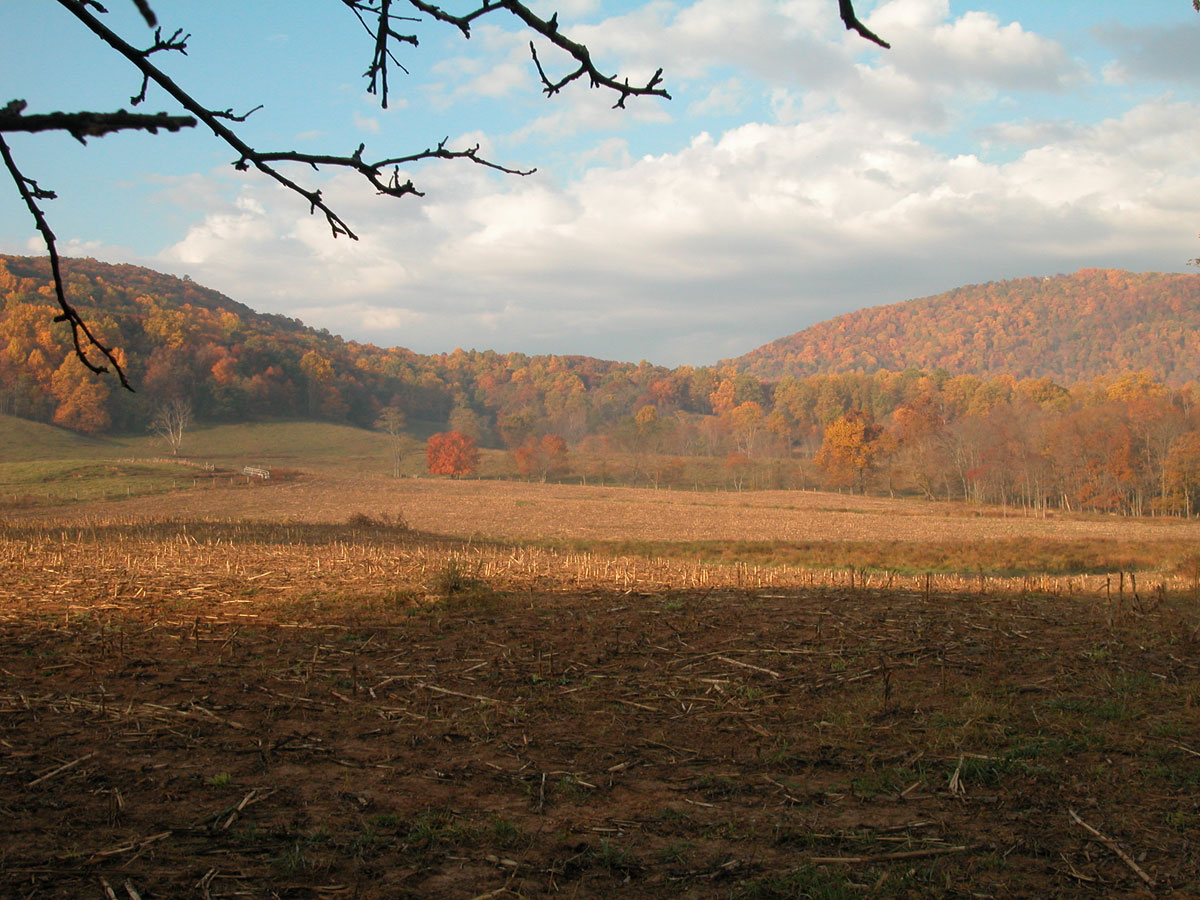
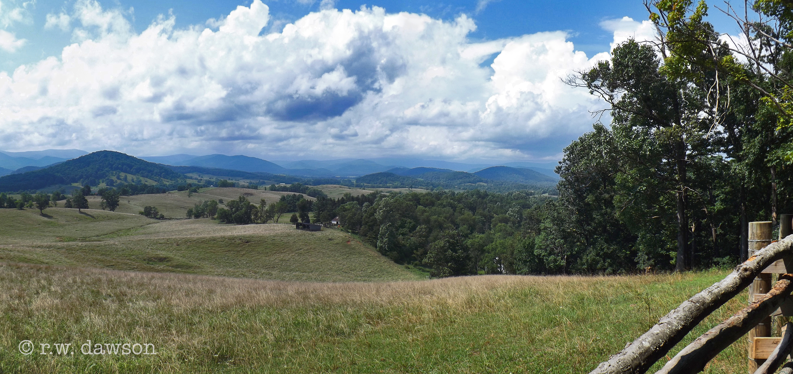
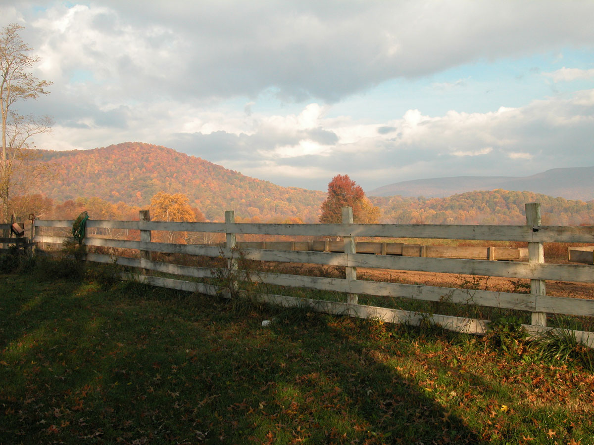
Back 40 in Autumn

Quiet Autumn morning

Kaonashi!
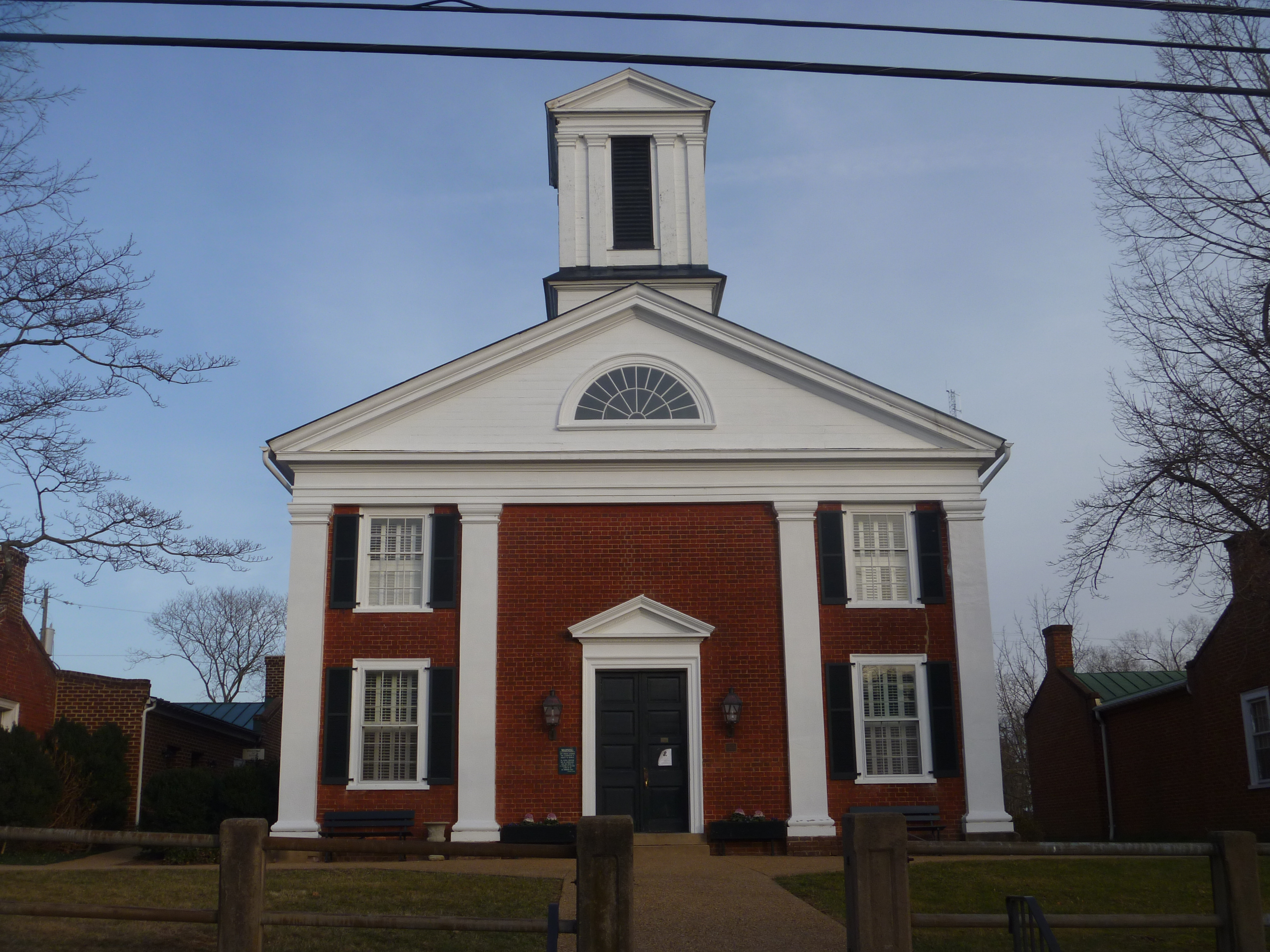
Front View Of Rappahannock County Courthouse
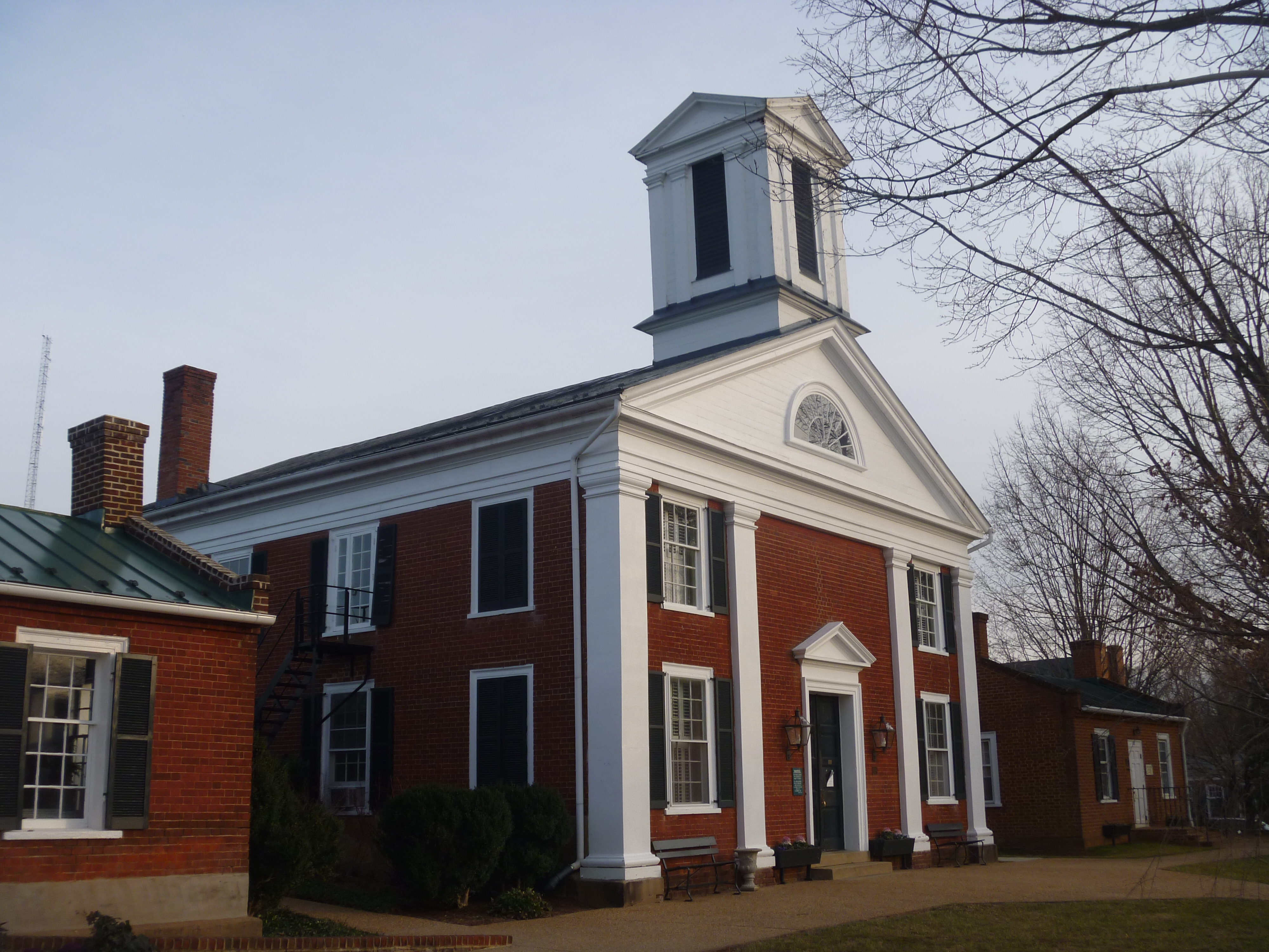
Rappahannock County Courthouse, Washington VA
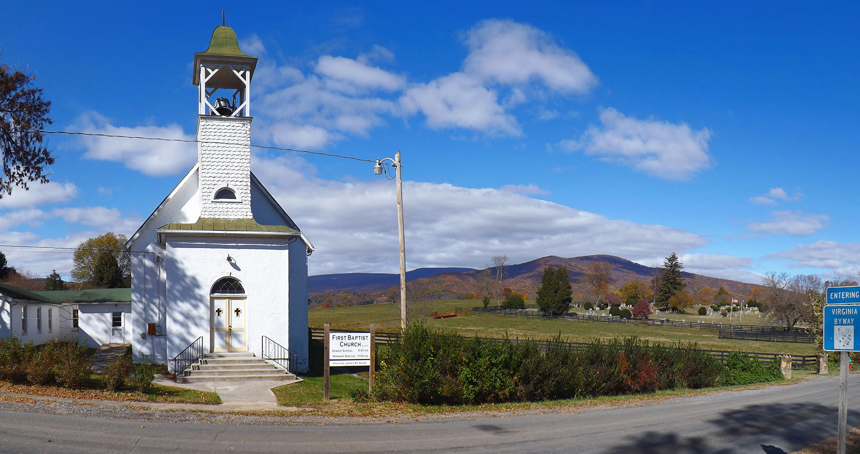
First Baptist Church, Little Washington, Rappahannock County, VA
View from Red Oak Mountain
View from Hawlin Road
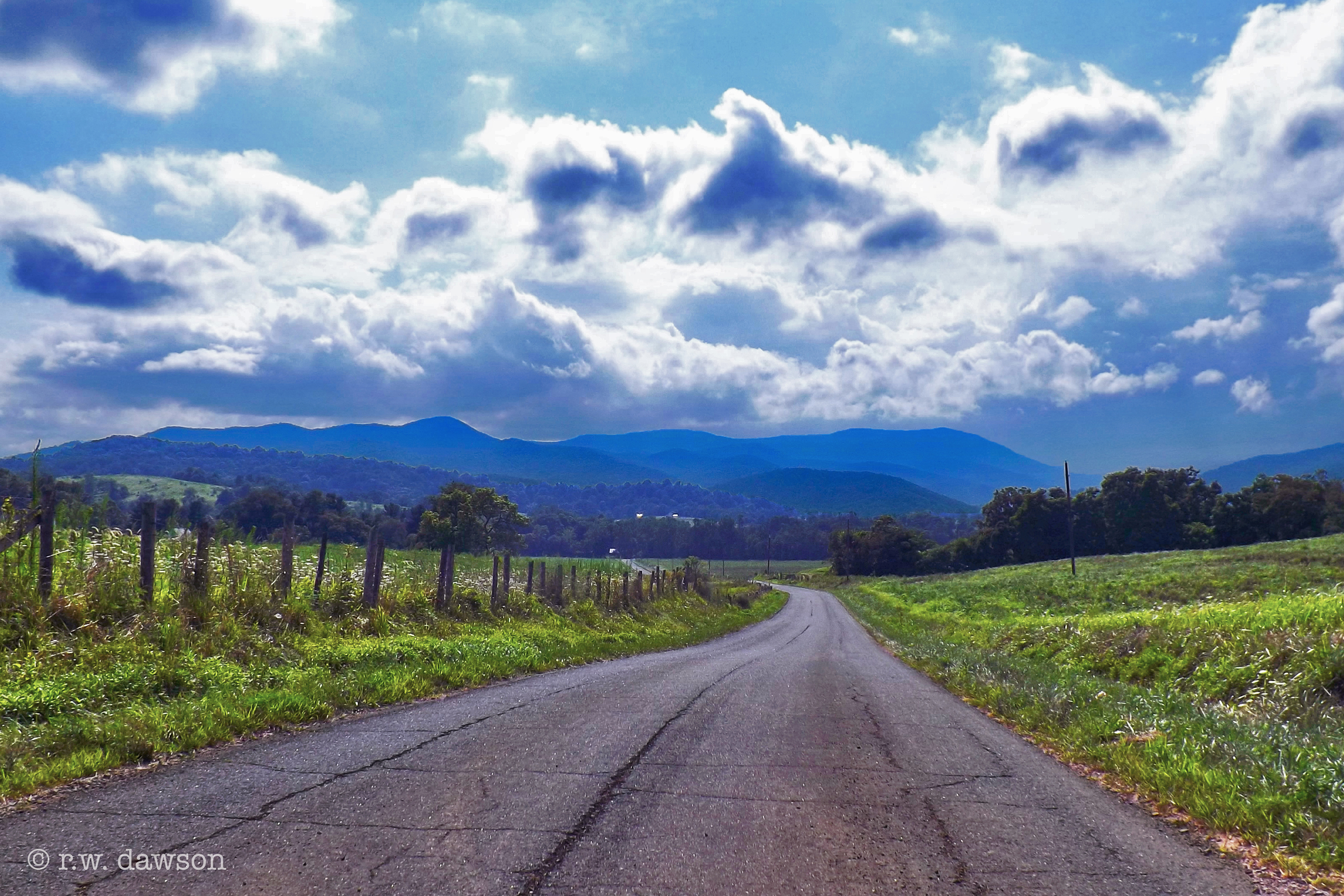
View Fro Fletsher Mill Road
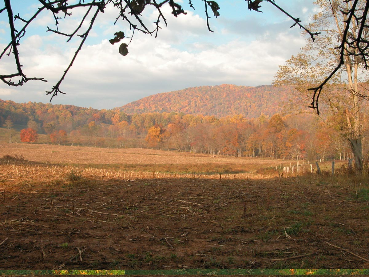
More Back 40 in Autumn

High Meadow Farm, circa 1780, Flint Hill, VA

Crossing the ford on Battle Run stream

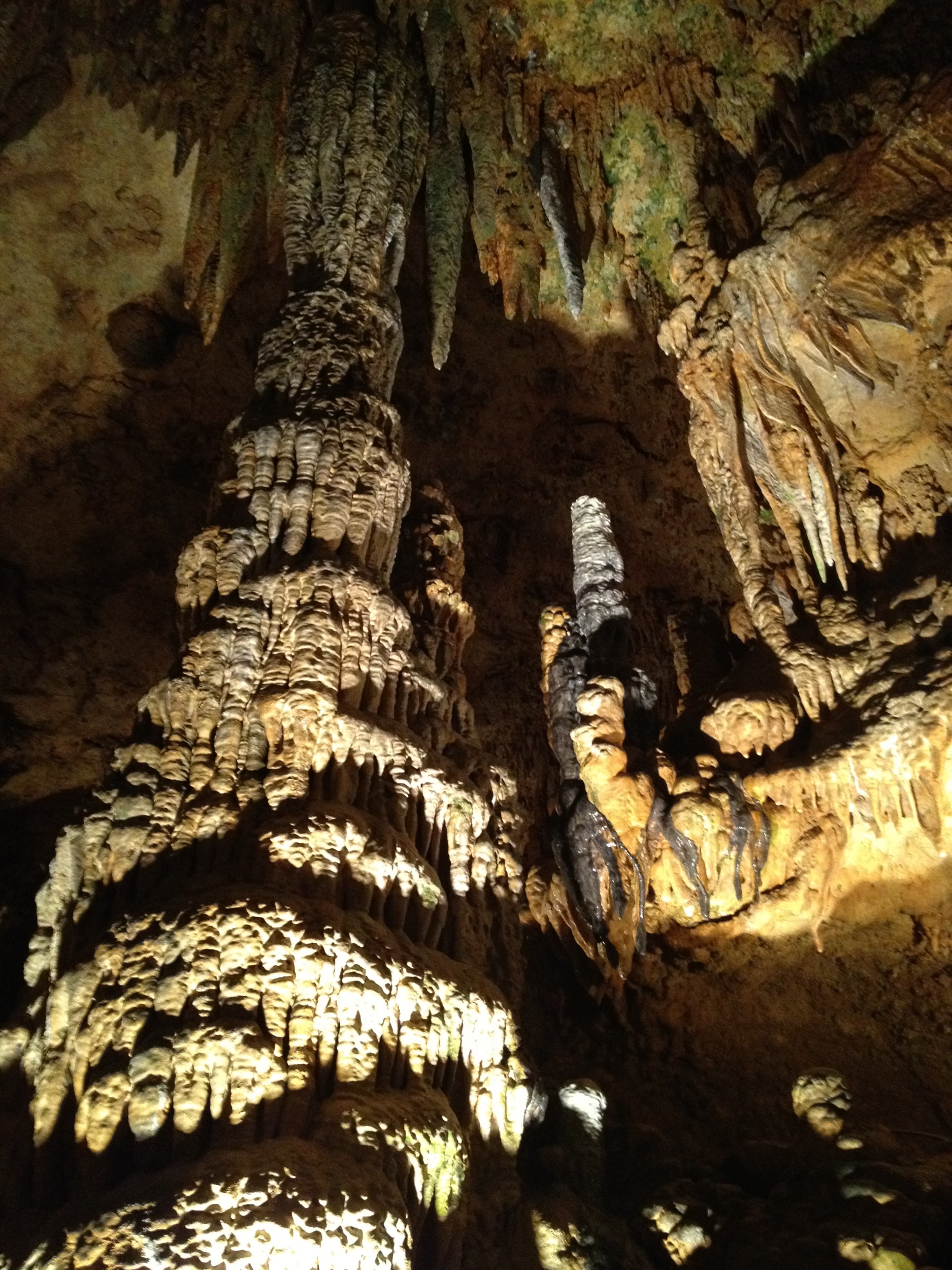
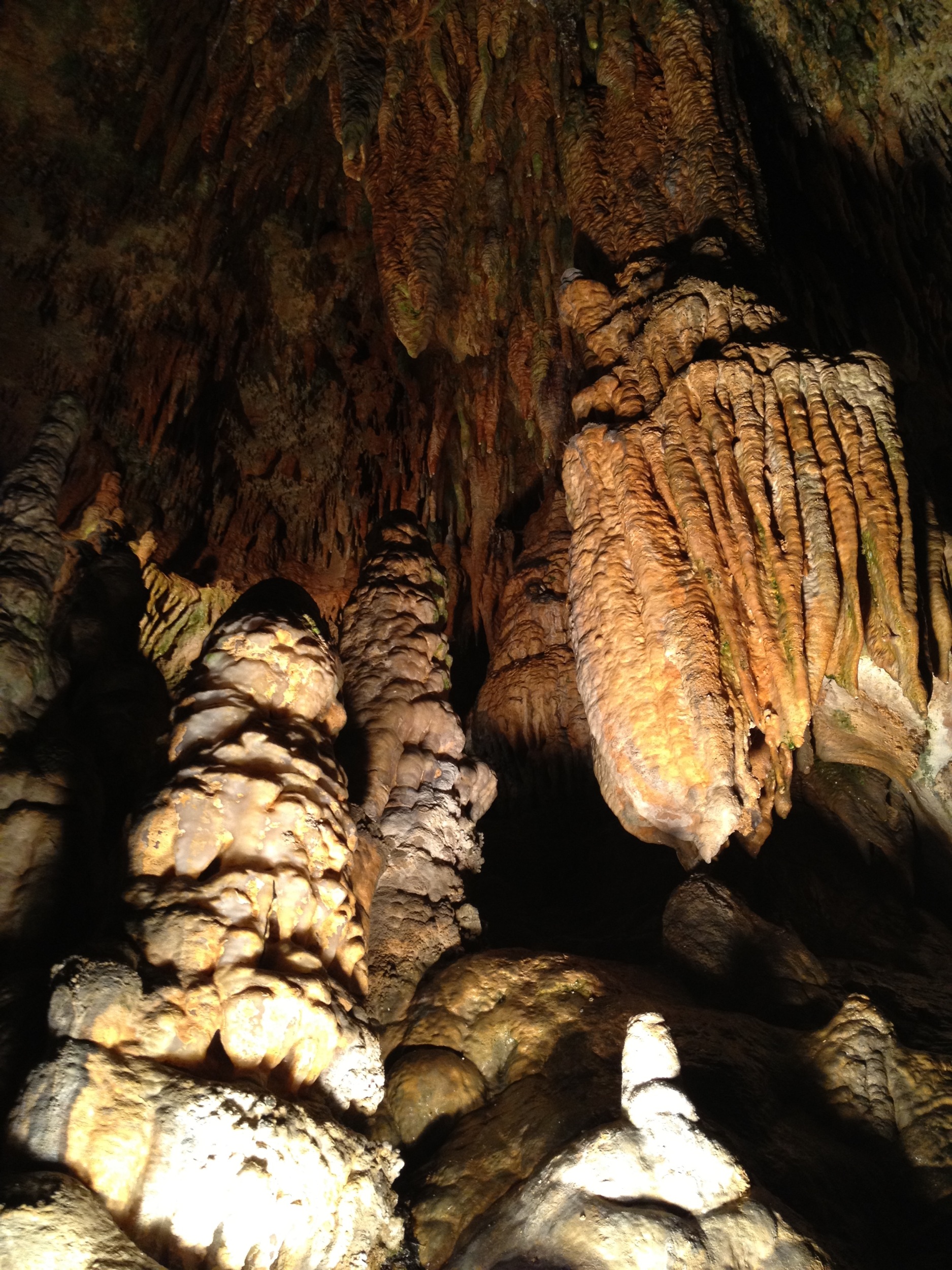
Luray Caverns
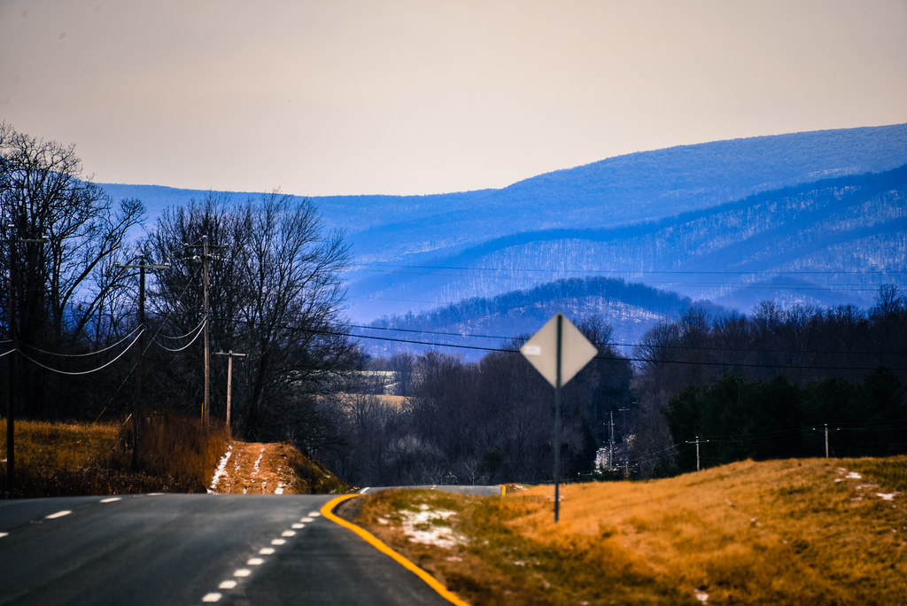
Blue Ridge Mountains from US 211 Highway in Virginia
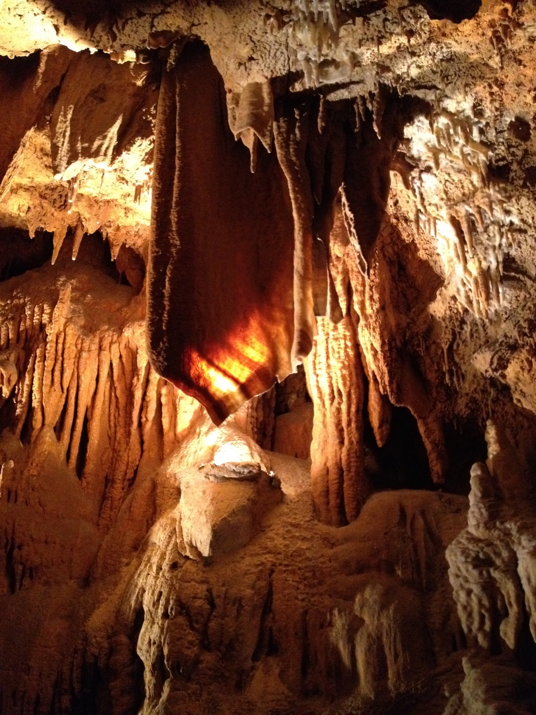
Luray Caverns
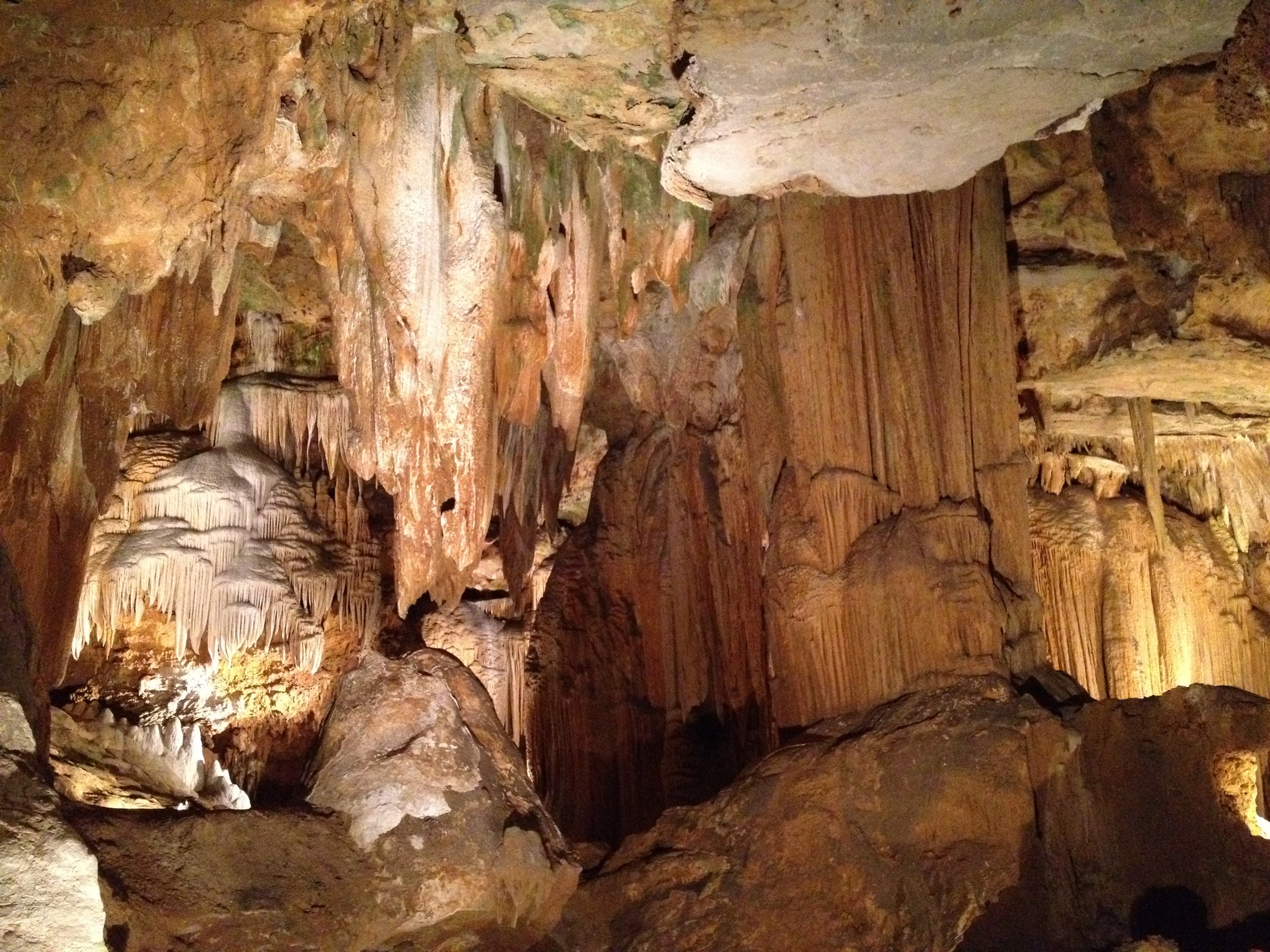
Luray Caverns
Unsettled Autumn morning
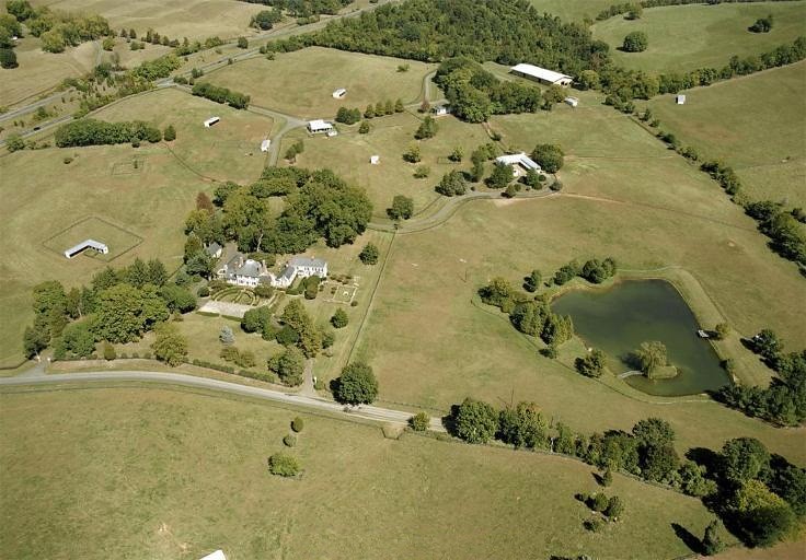
Aerial image of Ashland Farm, Warrenton VA (Holtzclaw Rd)
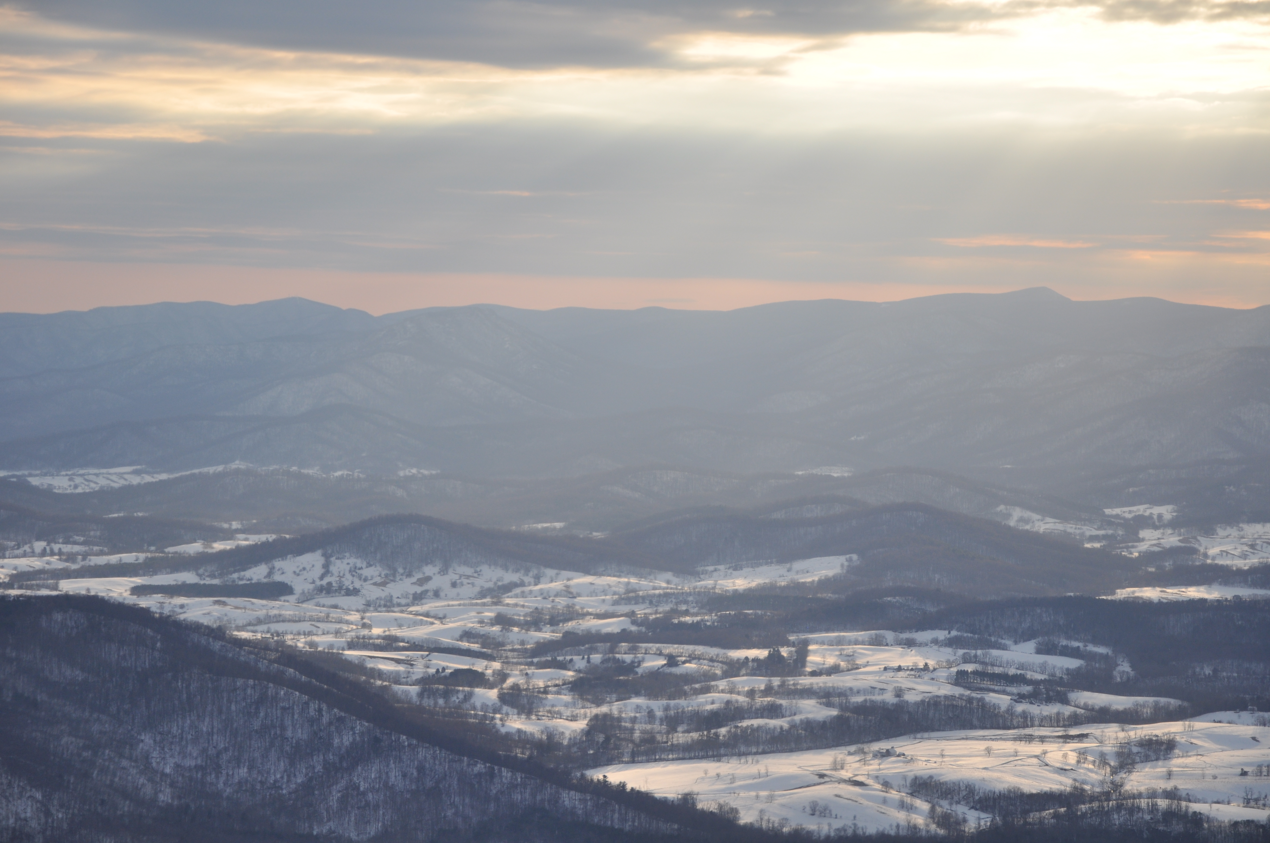
Flight to Charlottesville, VA
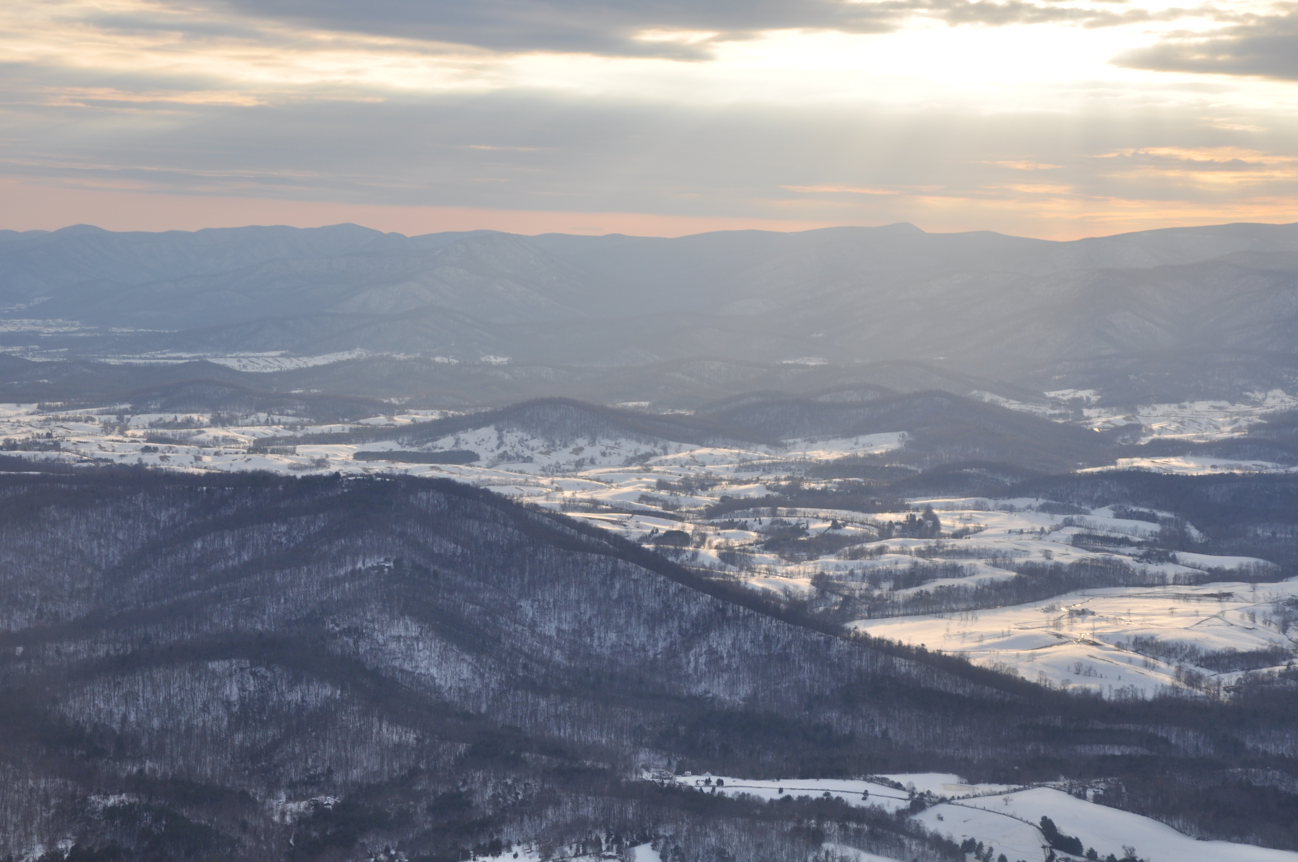
Flight to Charlottesville, VA
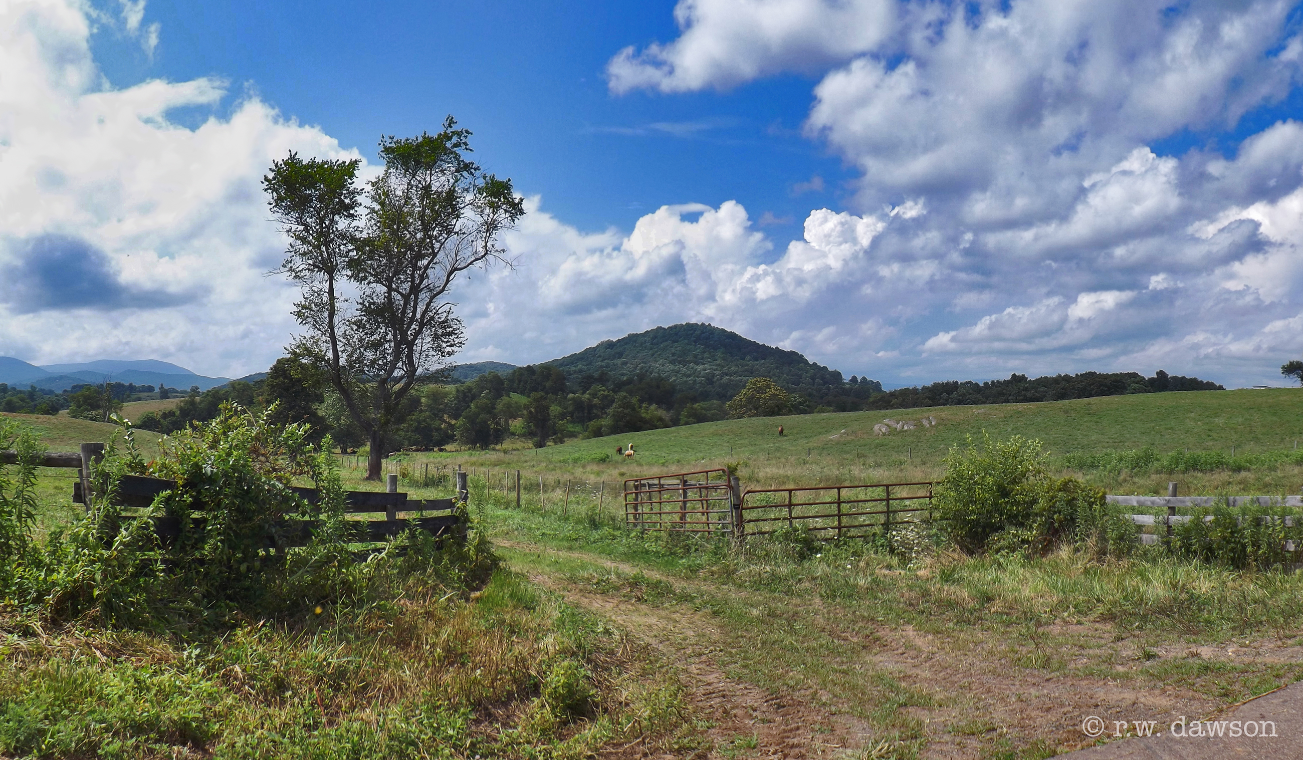
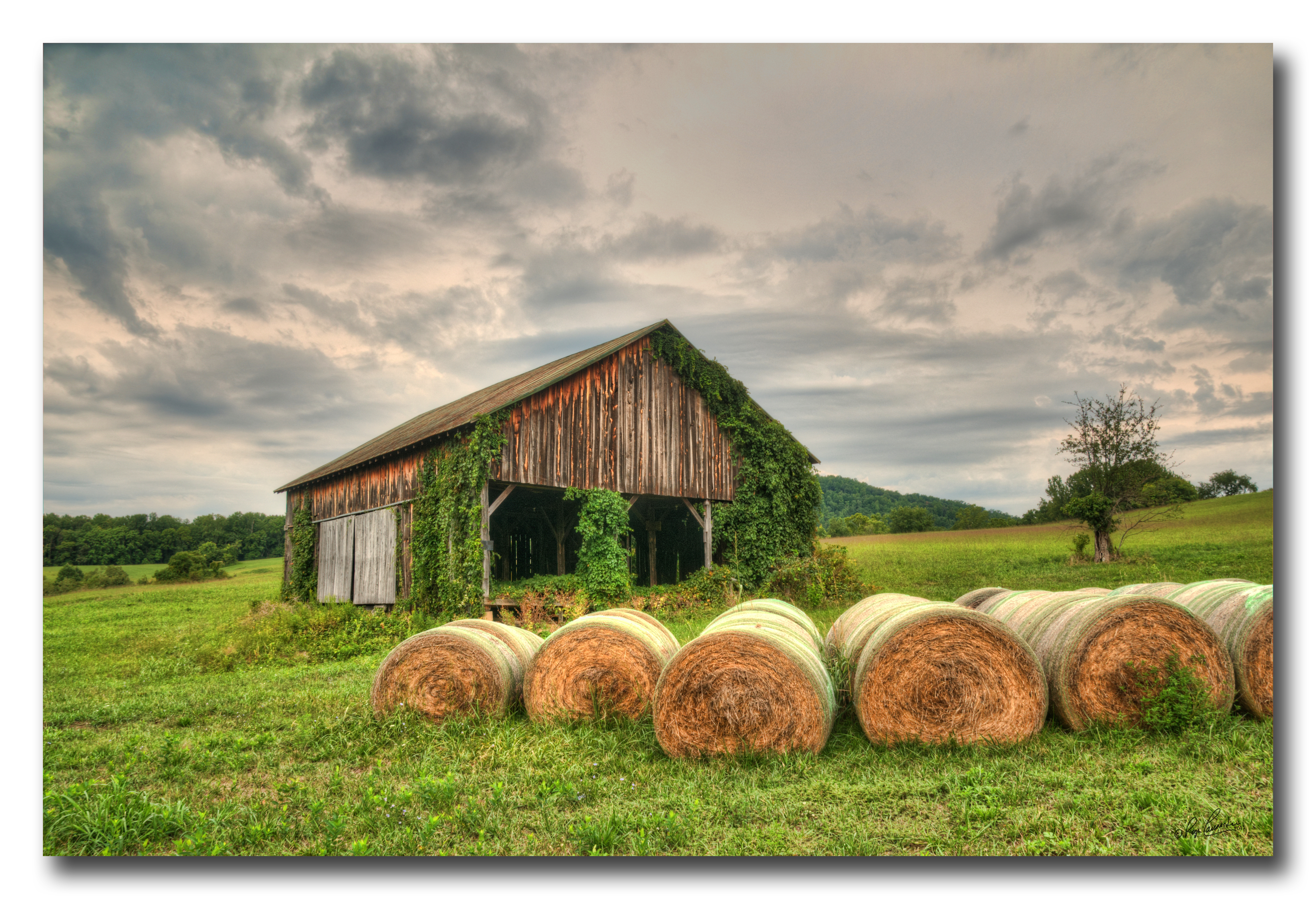
Farm near Flint Hill VA
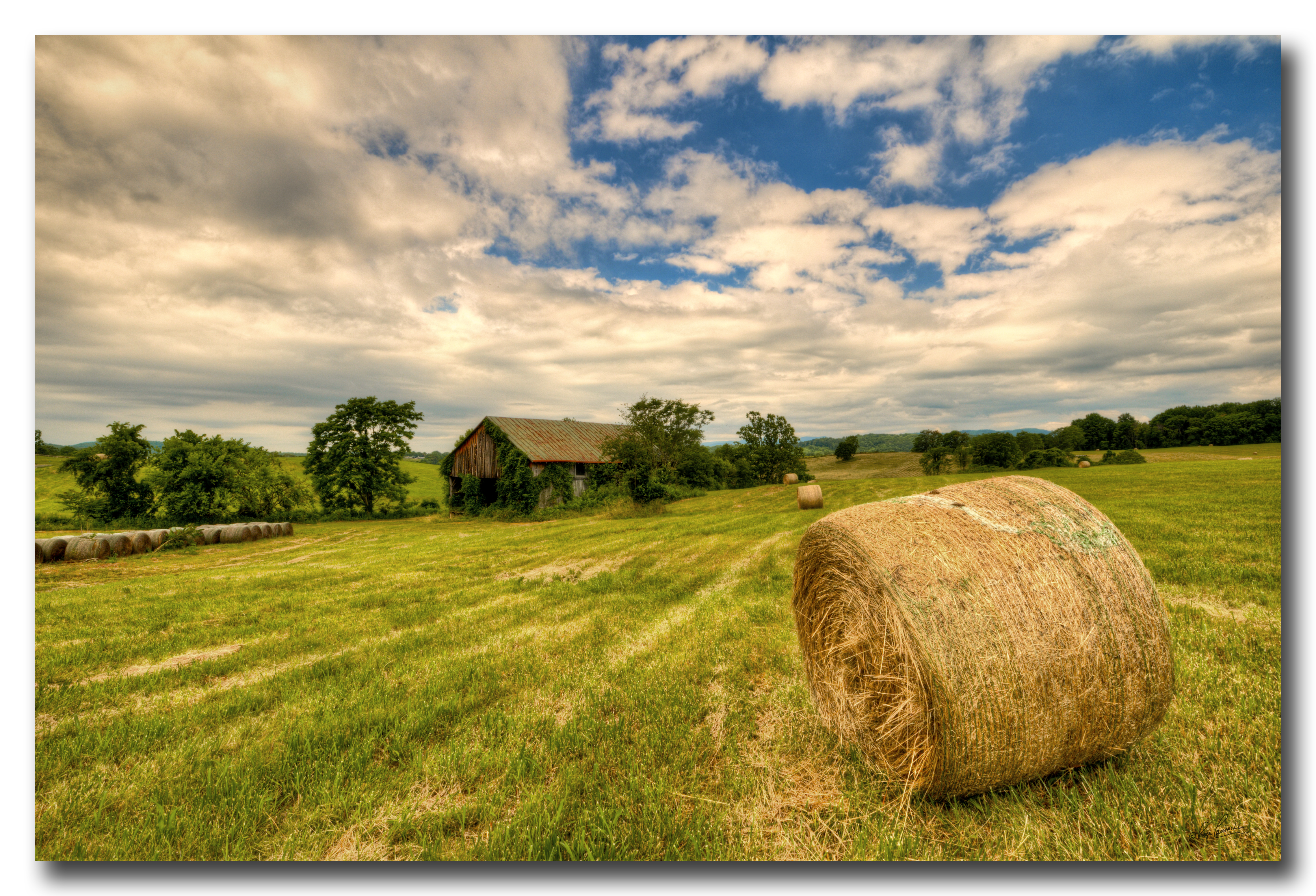
Old Barn Day...#1
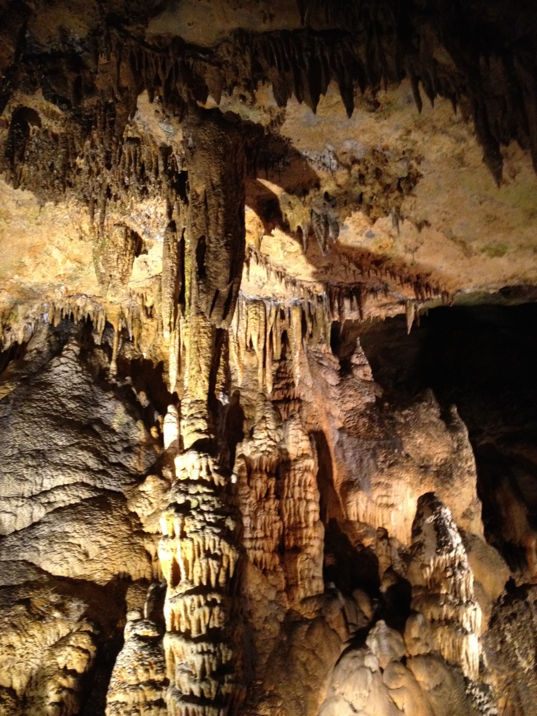
Luray Cavern
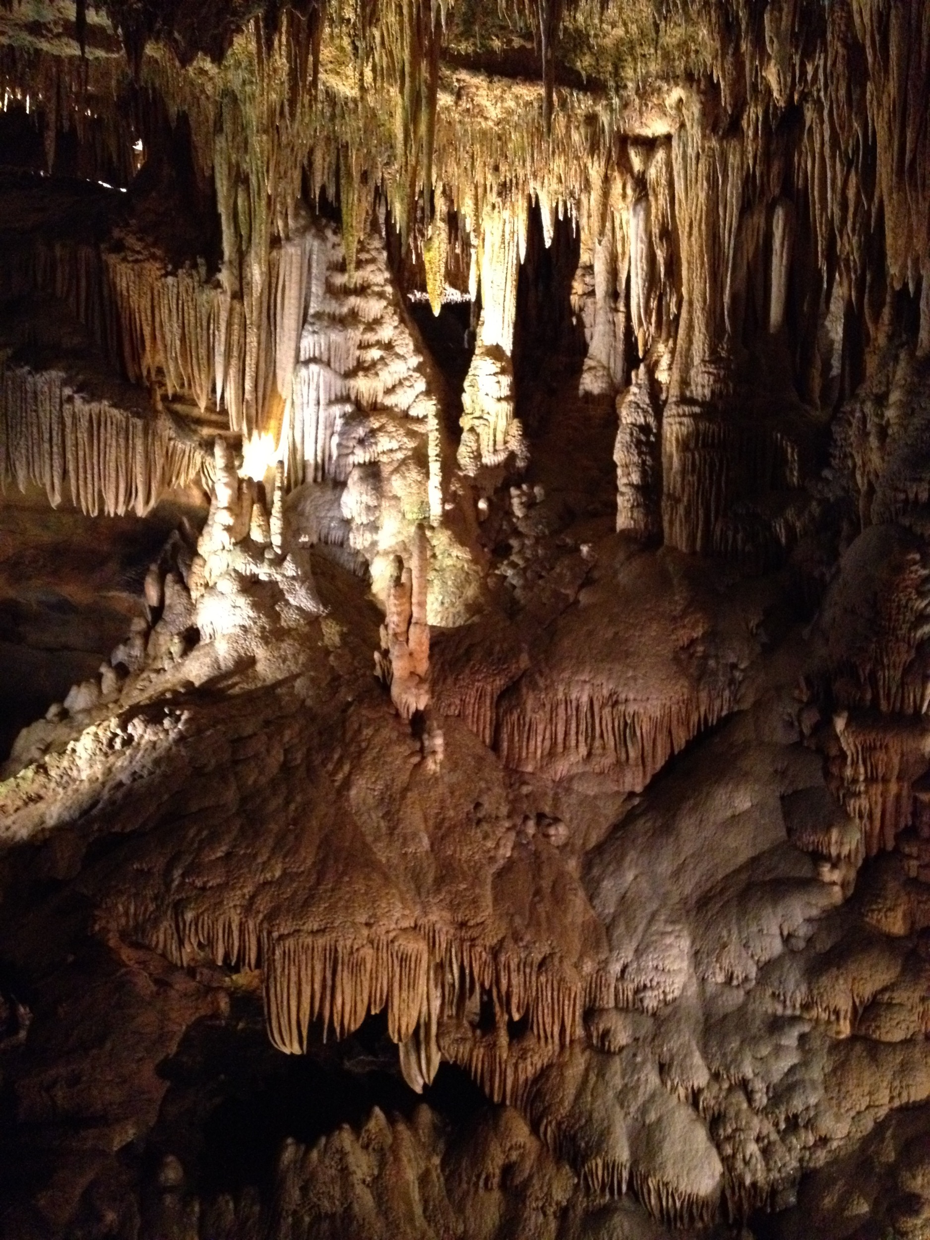
Luray Caverns
Luray Cavern
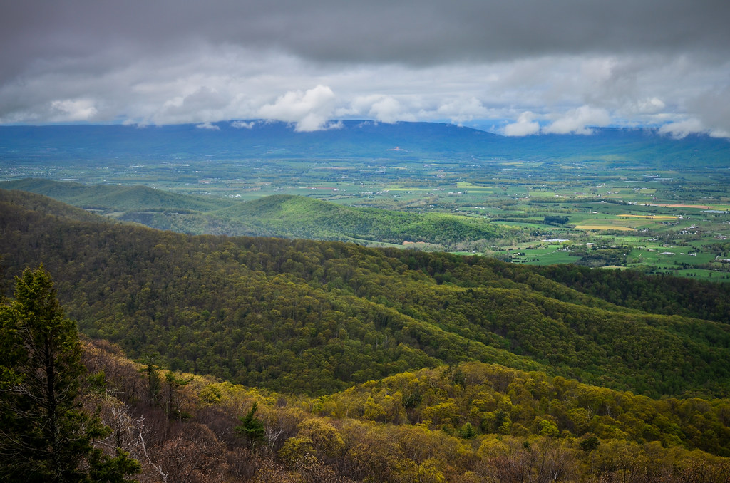
Shenandoah National Park
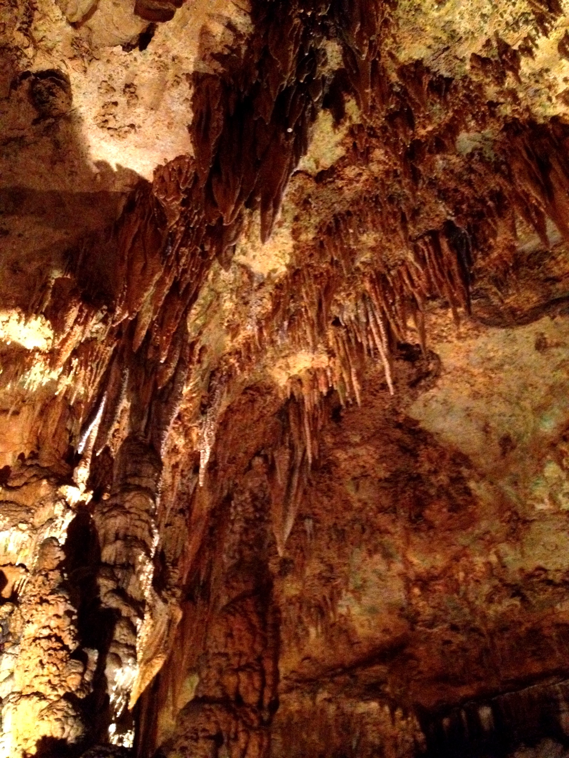
Luray Cavern

Orlean, Virginia
Luray Cavern
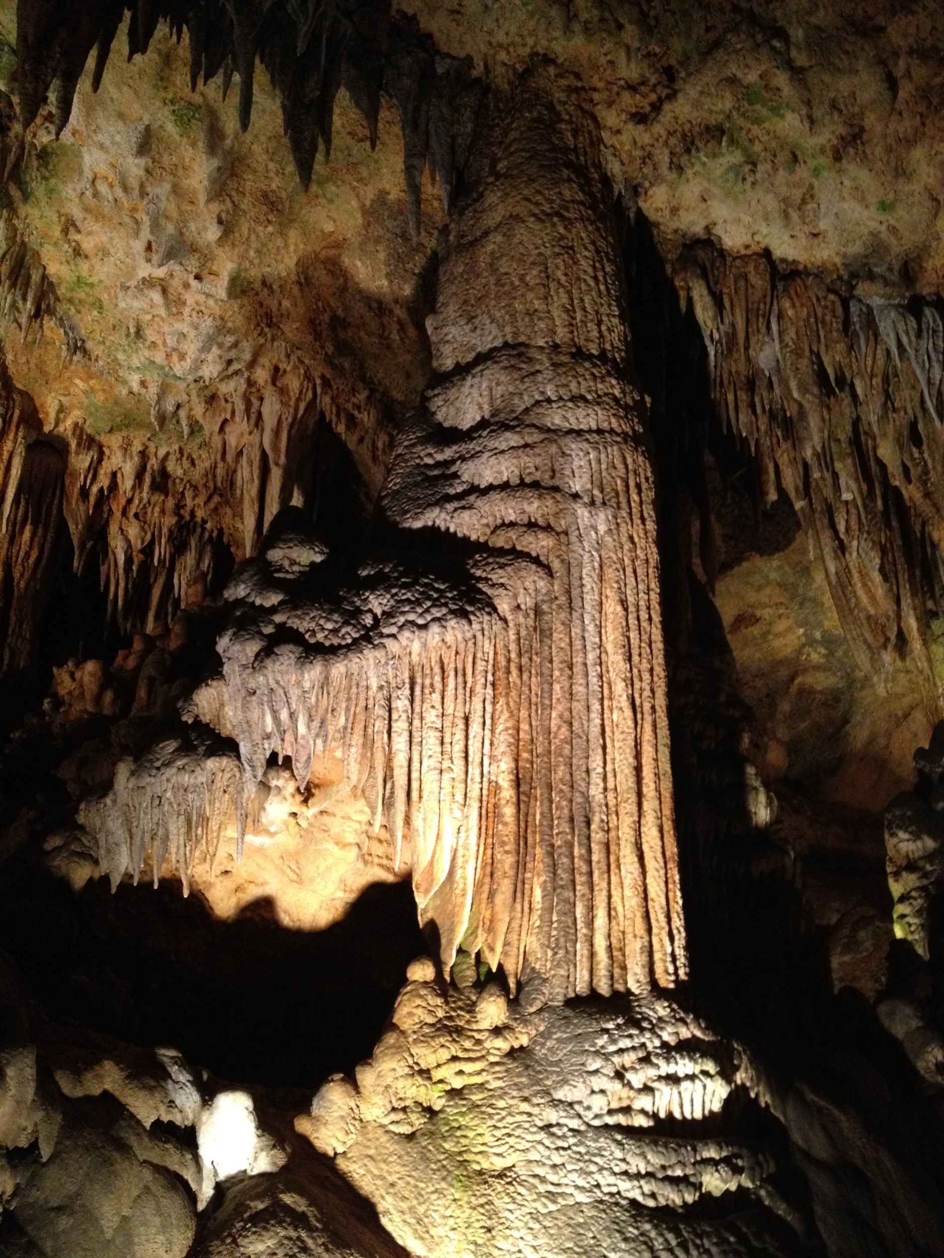
Luray Cavern
Topographic Map of Ida Belle Lane, Ida Belle Ln, Jackson, VA, USA
Find elevation by address:

Places near Ida Belle Lane, Ida Belle Ln, Jackson, VA, USA:
62 Dodson Rd
62 Dodson Rd
62 Dodson Rd
3459 Waterford Rd
Colvin Brothers Lane
Lee Hwy, Amissville, VA, USA
Amissville
Homeland Rd, Rixeyville, VA, USA
Covey Circle
6186 Sheads Ln
16345 Quail Ridge Dr
7580 Rixeyville Rd
3184 Somerset Dr
Rixeyville
17165 Stoneleigh Pl
17296 Kettlebrook Landing
Jefferson
7264 Deer View Trail
Durham Pl, Jeffersonton, VA, USA
Catalpa
Recent Searches:
- Elevation of 10370, West 107th Circle, Westminster, Jefferson County, Colorado, 80021, USA
- Elevation of 611, Roman Road, Old Ford, Bow, London, England, E3 2RW, United Kingdom
- Elevation of 116, Beartown Road, Underhill, Chittenden County, Vermont, 05489, USA
- Elevation of Window Rock, Colfax County, New Mexico, 87714, USA
- Elevation of 4807, Rosecroft Street, Kempsville Gardens, Virginia Beach, Virginia, 23464, USA
- Elevation map of Matawinie, Quebec, Canada
- Elevation of Sainte-Émélie-de-l'Énergie, Matawinie, Quebec, Canada
- Elevation of Rue du Pont, Sainte-Émélie-de-l'Énergie, Matawinie, Quebec, J0K2K0, Canada
- Elevation of 8, Rue de Bécancour, Blainville, Thérèse-De Blainville, Quebec, J7B1N2, Canada
- Elevation of Wilmot Court North, 163, University Avenue West, Northdale, Waterloo, Region of Waterloo, Ontario, N2L6B6, Canada
- Elevation map of Panamá Province, Panama
- Elevation of Balboa, Panamá Province, Panama
- Elevation of San Miguel, Balboa, Panamá Province, Panama
- Elevation of Isla Gibraleón, San Miguel, Balboa, Panamá Province, Panama
- Elevation of 4655, Krischke Road, Schulenburg, Fayette County, Texas, 78956, USA
- Elevation of Carnegie Avenue, Downtown Cleveland, Cleveland, Cuyahoga County, Ohio, 44115, USA
- Elevation of Walhonding, Coshocton County, Ohio, USA
- Elevation of Clifton Down, Clifton, Bristol, City of Bristol, England, BS8 3HU, United Kingdom
- Elevation map of Auvergne-Rhône-Alpes, France
- Elevation map of Upper Savoy, Auvergne-Rhône-Alpes, France