Elevation of Kentucky, KS, USA
Location: United States > Kansas > Jefferson County >
Longitude: -95.425375
Latitude: 39.101193
Elevation: 259m / 850feet
Barometric Pressure: 98KPa
Elevation Map:
Satellite Map:
Related Photos:
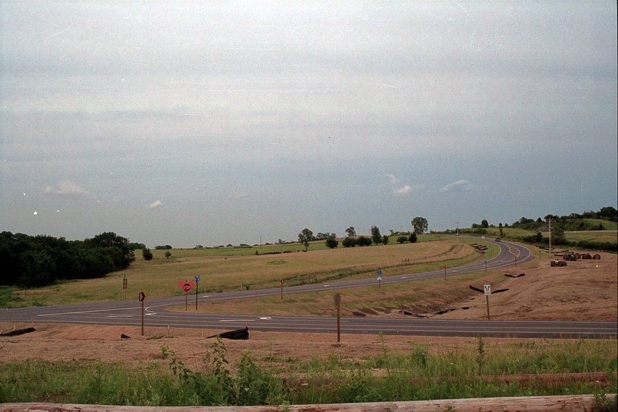
Passing Lake View KS

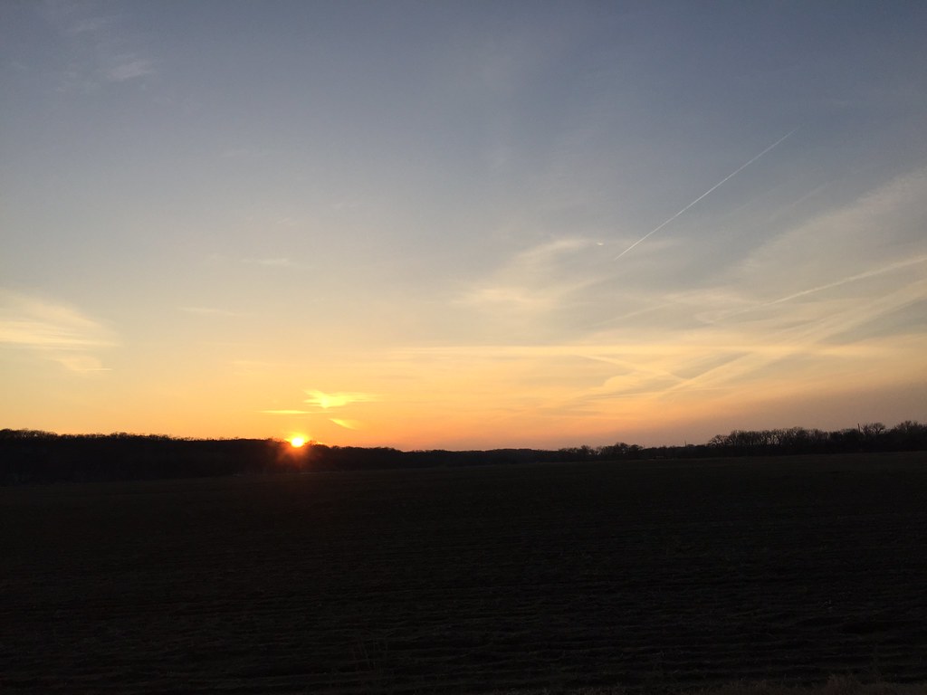
Before sunset on west I-70, 30 June 2011

Exit 183 on Kansas Turnpike, 6 Oct 2007

Green View by Jason Willis
Green View by Jason Willis
145/365 [2013] - The View
Curvature of the Earth
The east half of the new curve at the junction of Douglas County Road 1029 and CR 438.
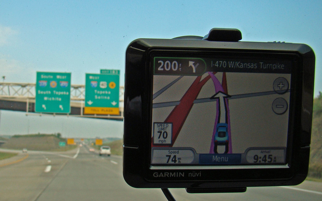
Me and my Garmin on I-70, 5 Sept 2009

Hoop House View

On the newly rebuilt Douglas County Road 1029 south of Lecompton, the road curves east.
The portion of the new Douglas County Road 1029 south of Lecompton.
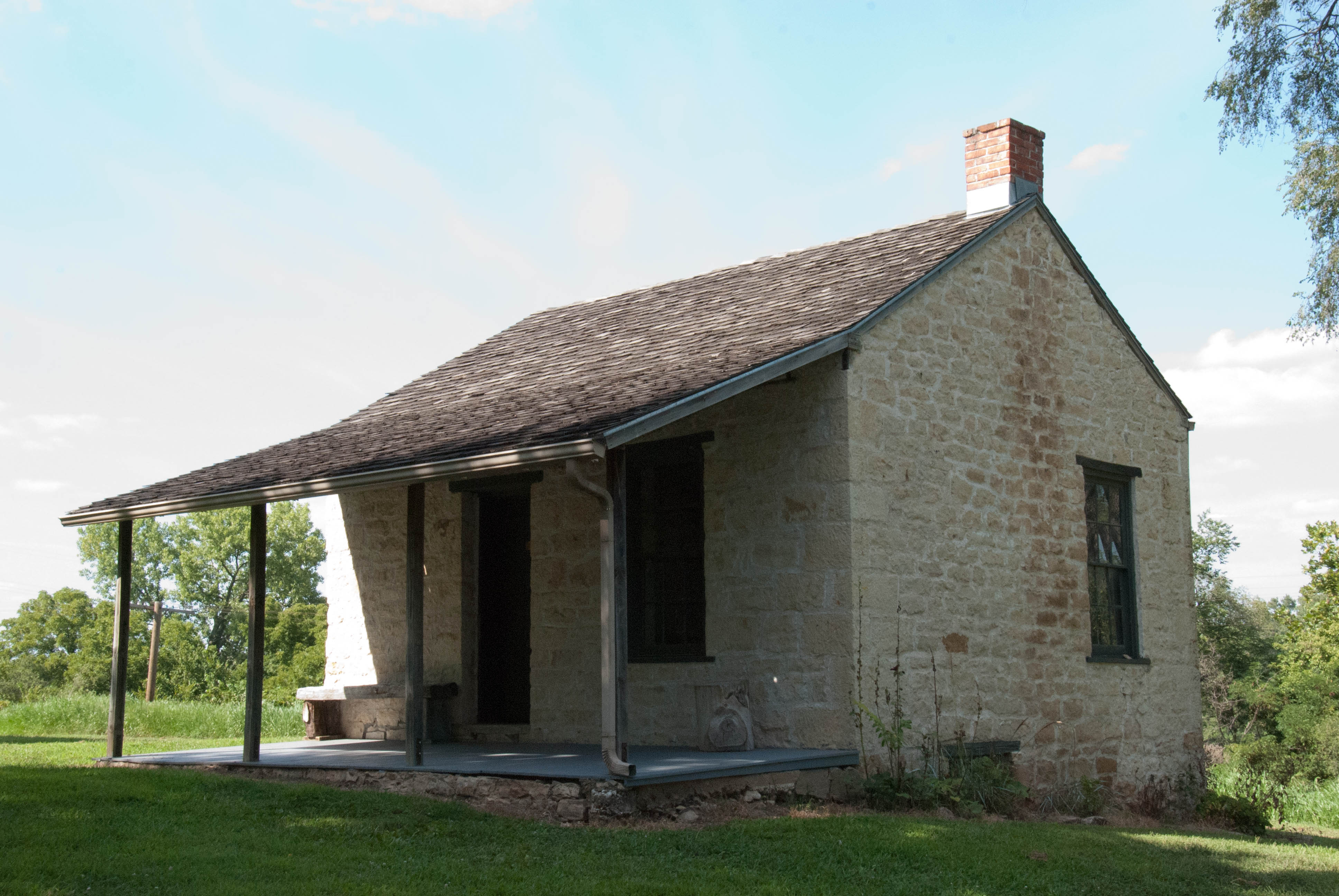
Radical Church
Kansas Democratic Headquarters
Figured I would use the #walden filter since I'm at the #pond. #farm #scenic #rural #rsa_rural #rustic #royalsnappingartists #lfk #kansas #igers #igdaily #iphonesia #iphoneonly #hdr_pics #landscape #hdr_shots #all_shots #beautiful
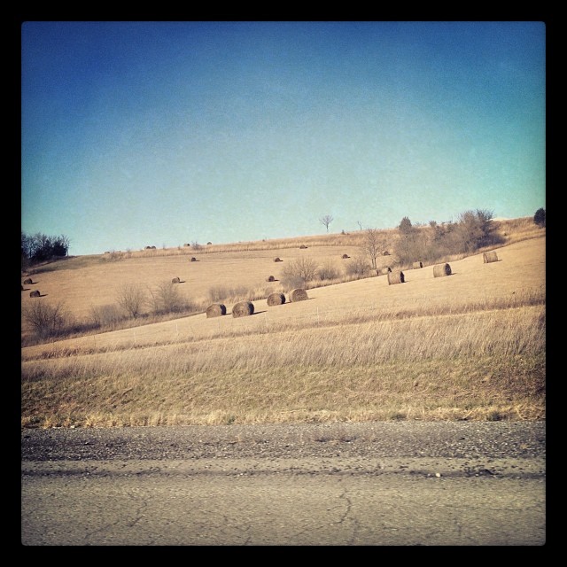
#haybales on our trip to #Topeka.
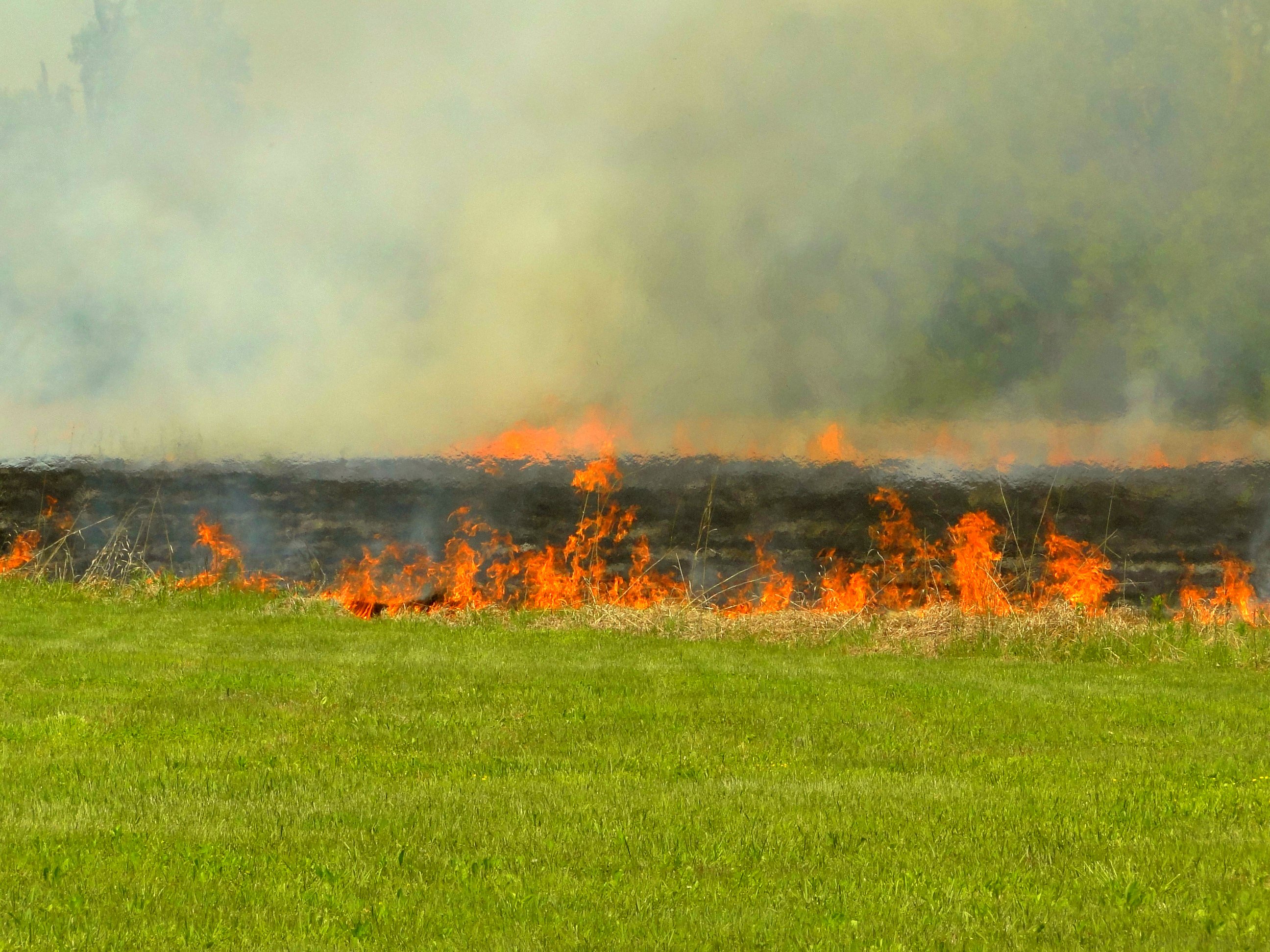
Burning pasture

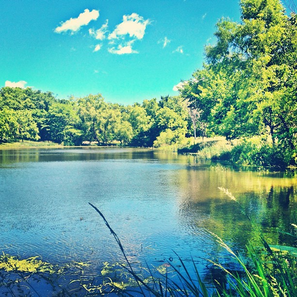
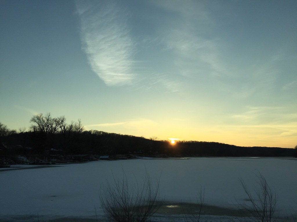
2011-KANSAS58-lake perry
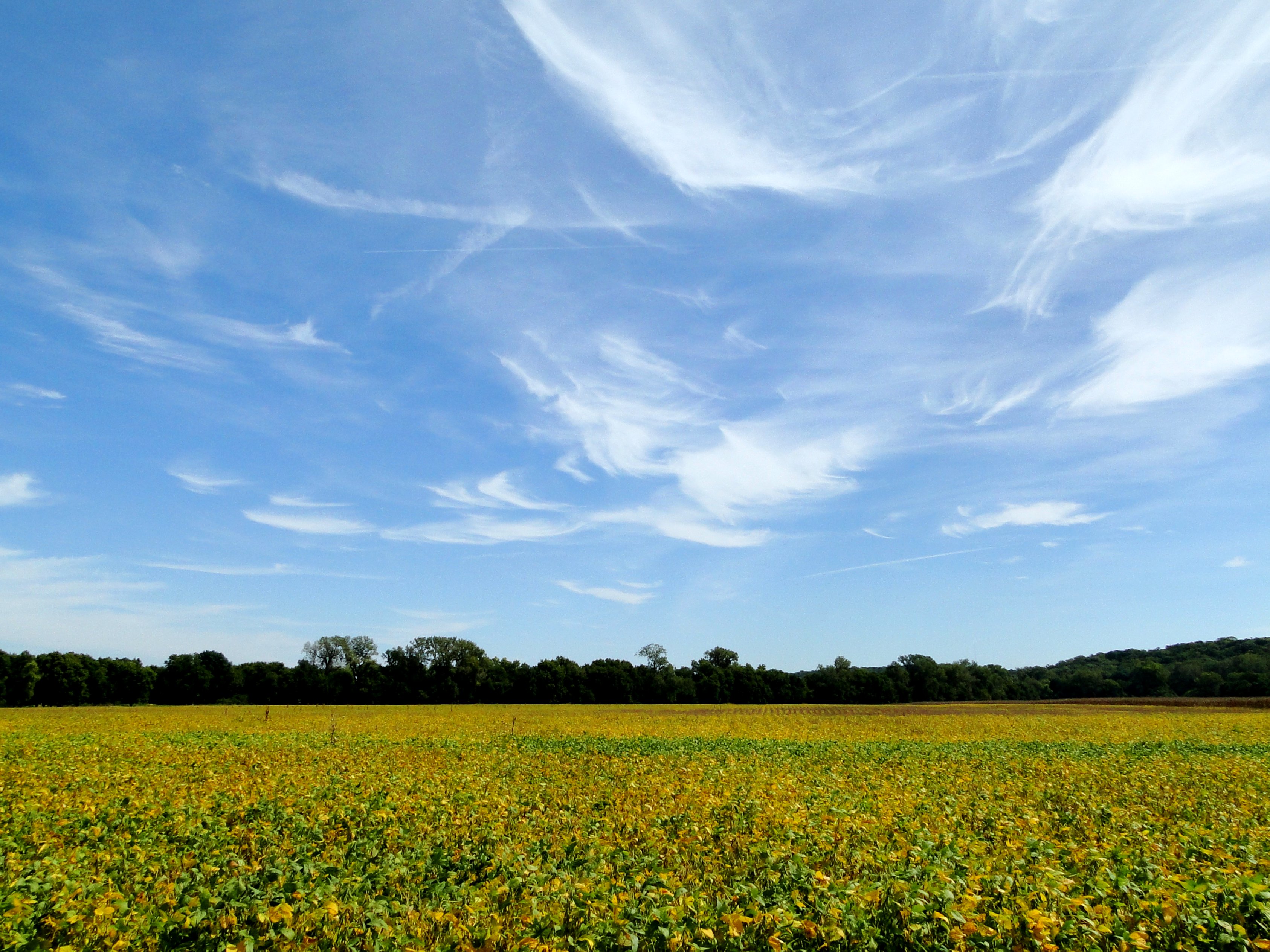
Bean field under wispy clouds

Rainbow walk
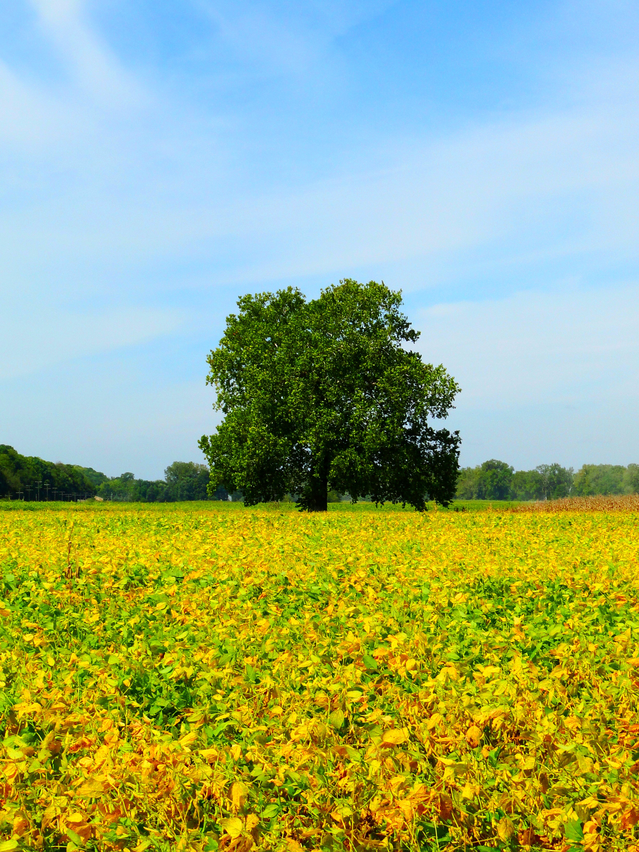
Tree in the bean field
Landscapes and skyscapes
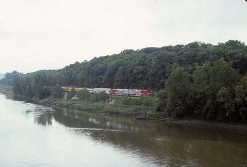
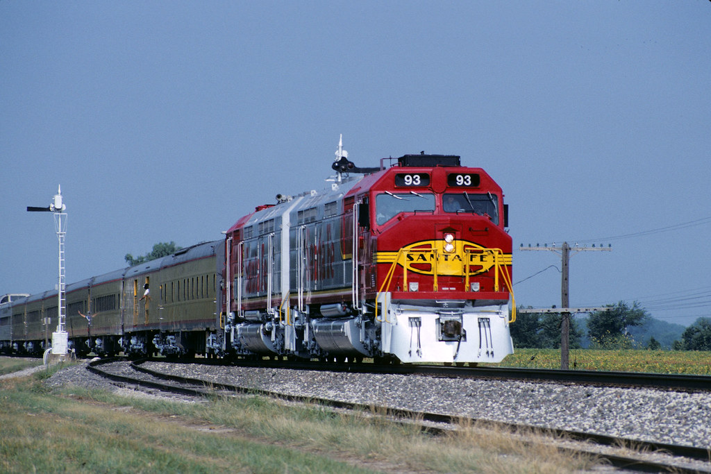
1991 Topeka RR Days Train

2011-KANSAS58-lake perry3
Landscapes and skyscapes
Topographic Map of Kentucky, KS, USA
Find elevation by address:

Places in Kentucky, KS, USA:
Places near Kentucky, KS, USA:
Bridge Rd, Perry, KS, USA
Perry
Newman Rd, Perry, KS, USA
N Rd, Lecompton, KS, USA
Elmore St, Lecompton, KS, USA
Lecompton
Fairview
696 N 2050 Rd
Rural
Hillcrest Dr, Meriden, KS, USA
1103 Main
6561 Us-59
SE 2nd St, Tecumseh, KS, USA
US-24, Lawrence, KS, USA
Tecumseh
Tecumseh
Huffman St, Meriden, KS, USA
Meriden
North Fairview Elementary School
901 Se Baldwin Rd
Recent Searches:
- Elevation of Corso Fratelli Cairoli, 35, Macerata MC, Italy
- Elevation of Tallevast Rd, Sarasota, FL, USA
- Elevation of 4th St E, Sonoma, CA, USA
- Elevation of Black Hollow Rd, Pennsdale, PA, USA
- Elevation of Oakland Ave, Williamsport, PA, USA
- Elevation of Pedrógão Grande, Portugal
- Elevation of Klee Dr, Martinsburg, WV, USA
- Elevation of Via Roma, Pieranica CR, Italy
- Elevation of Tavkvetili Mountain, Georgia
- Elevation of Hartfords Bluff Cir, Mt Pleasant, SC, USA