Elevation of Bridge Rd, Perry, KS, USA
Location: United States > Kansas > Jefferson County > Kentucky > Perry >
Longitude: -95.421054
Latitude: 39.078163
Elevation: 258m / 846feet
Barometric Pressure: 98KPa
Elevation Map:
Satellite Map:
Related Photos:
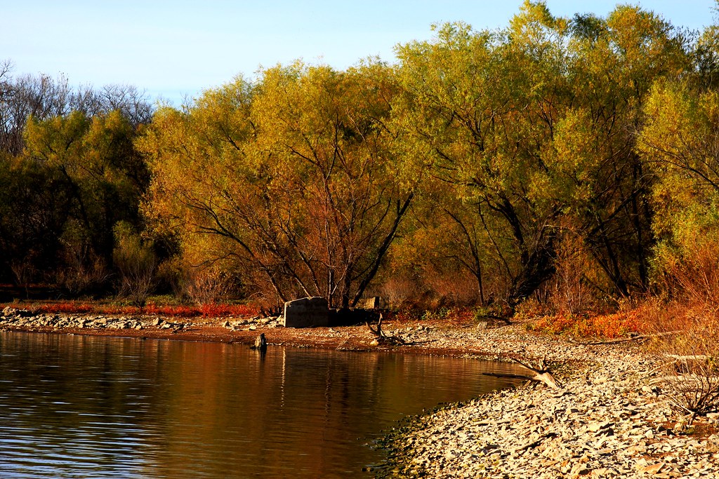
Passing Lake View KS
Wedding Day
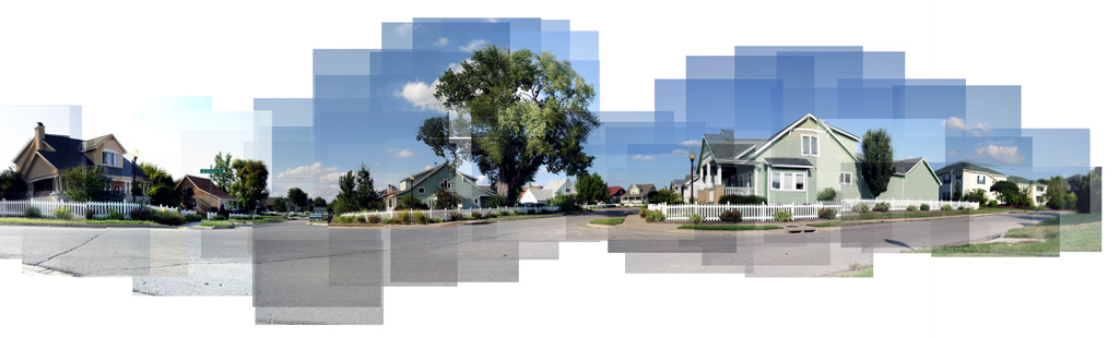
The 'Friendly Village' Pano

Lonely Log

Exit 183 on Kansas Turnpike, 6 Oct 2007

Green View by Jason Willis
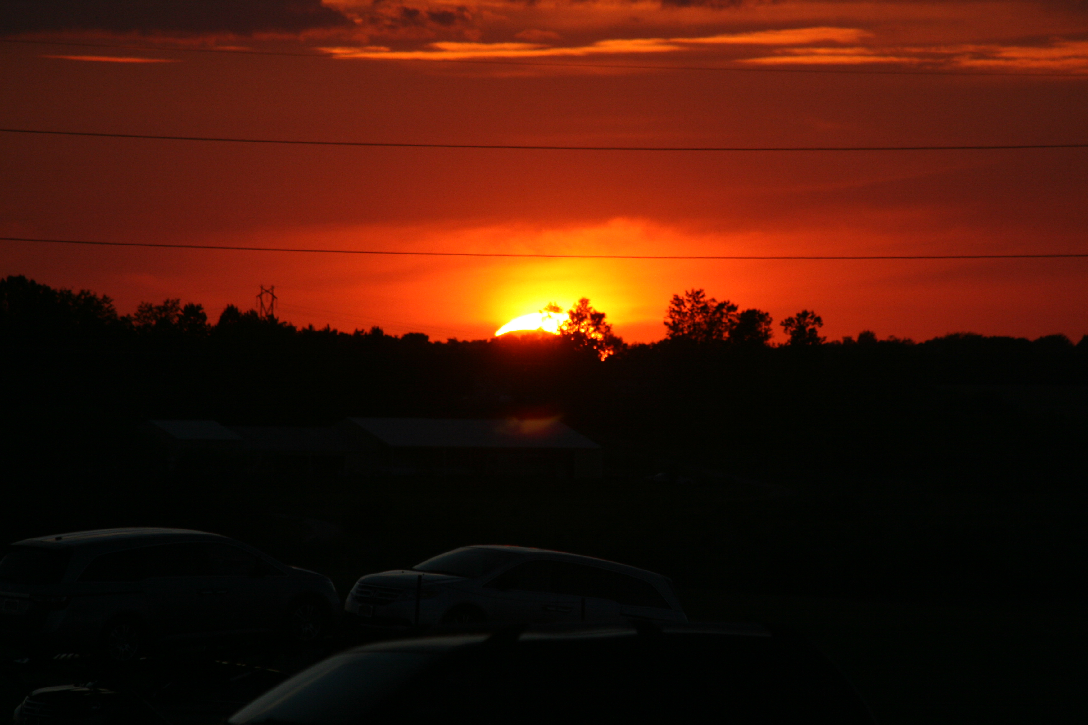
Solar Eclipse 2012
Color Change Cove
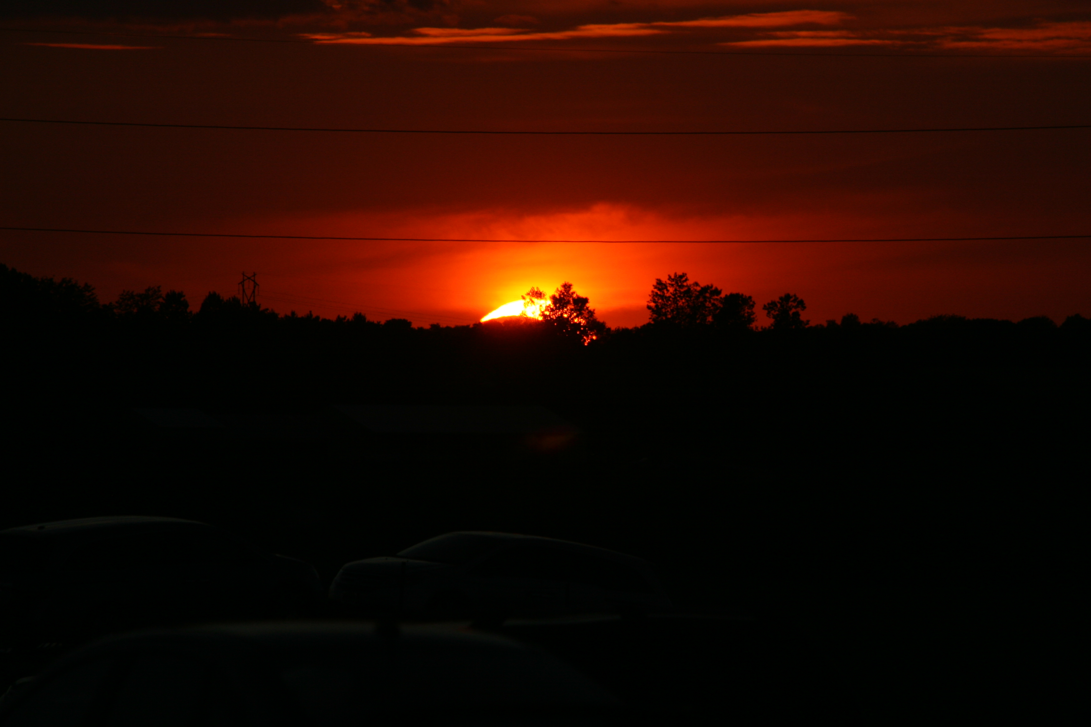
Solar Eclipse 2012
Solar Eclipse 2012
145/365 [2013] - The View
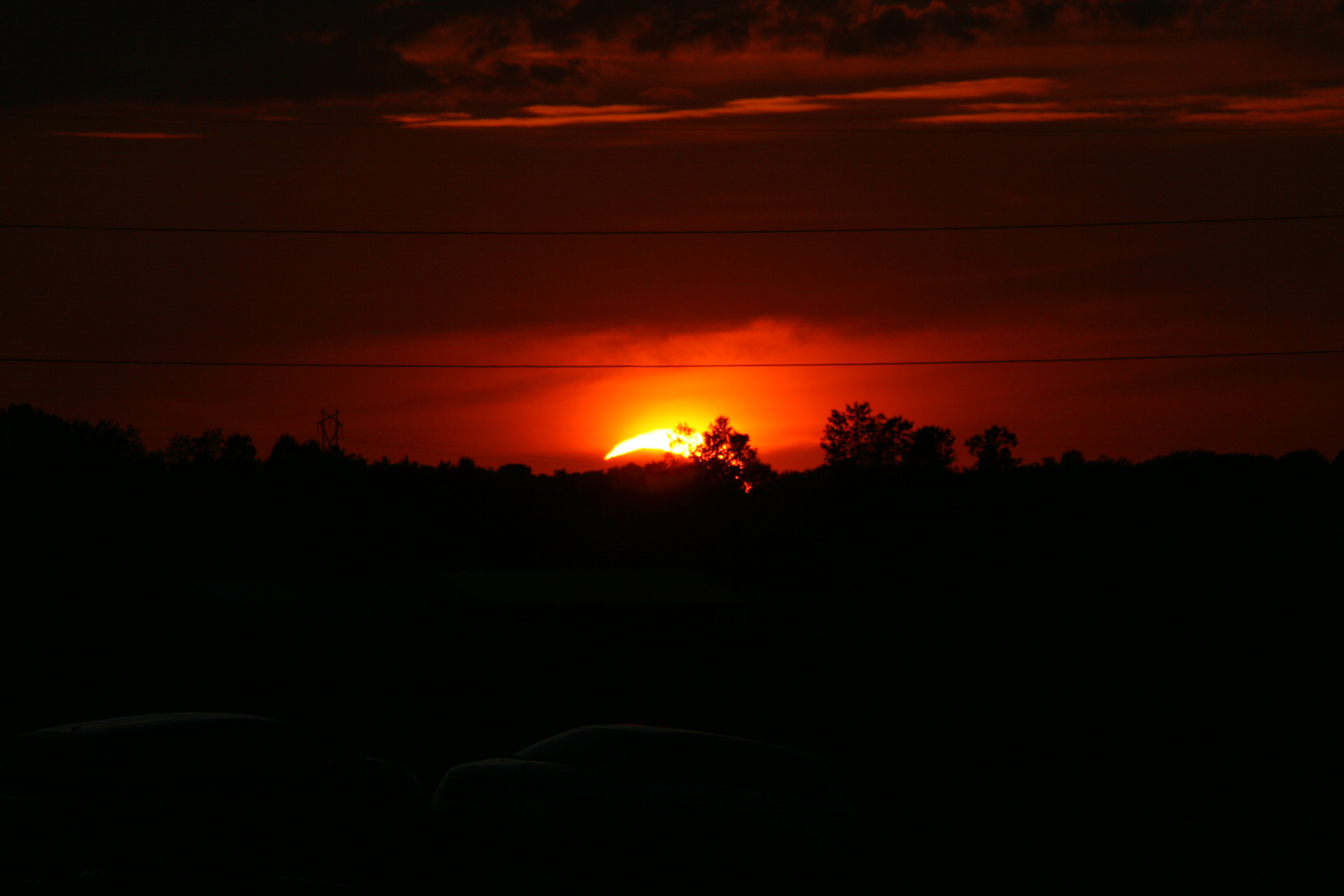
Solar Eclipse 2012

Solar Eclipse 2012
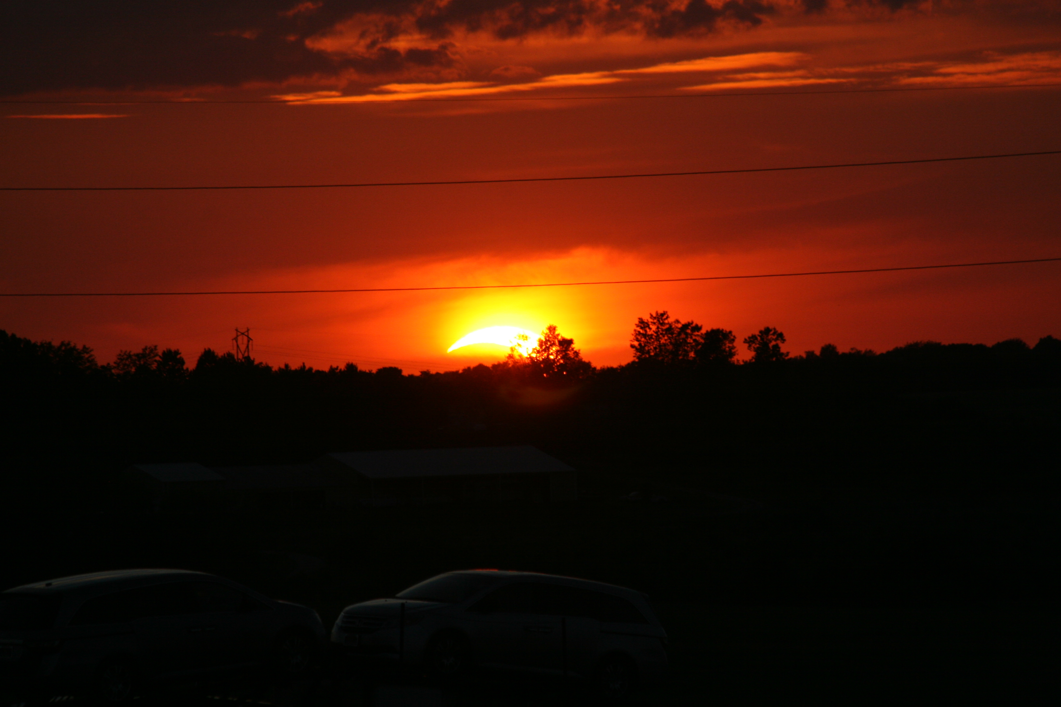
Solar Eclipse 2012
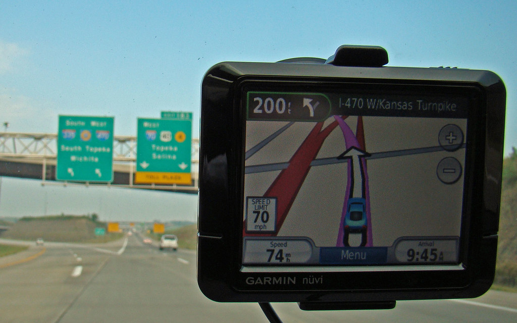
Me and my Garmin on I-70, 5 Sept 2009

Hoop House View
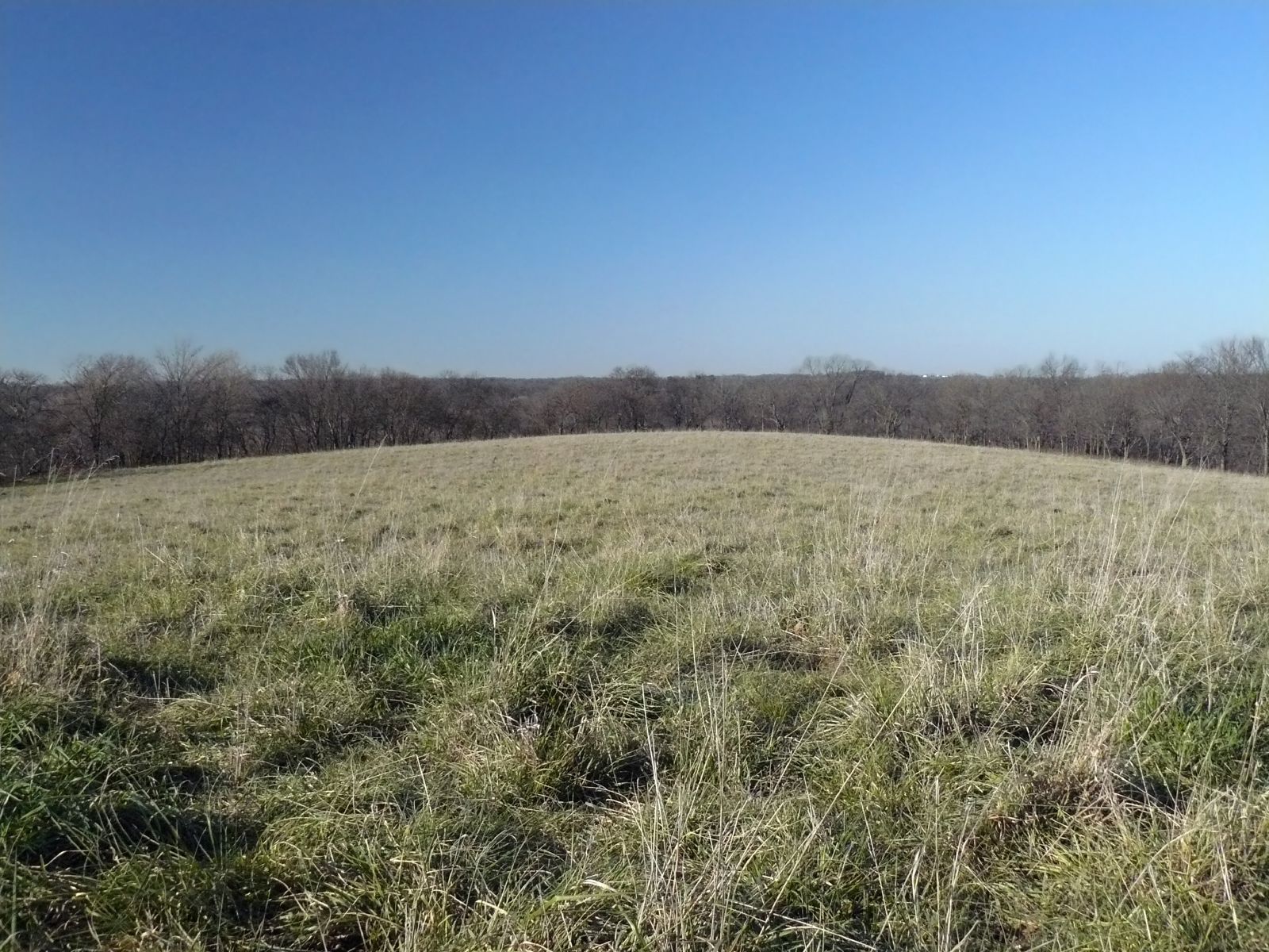
Curvature of the Earth
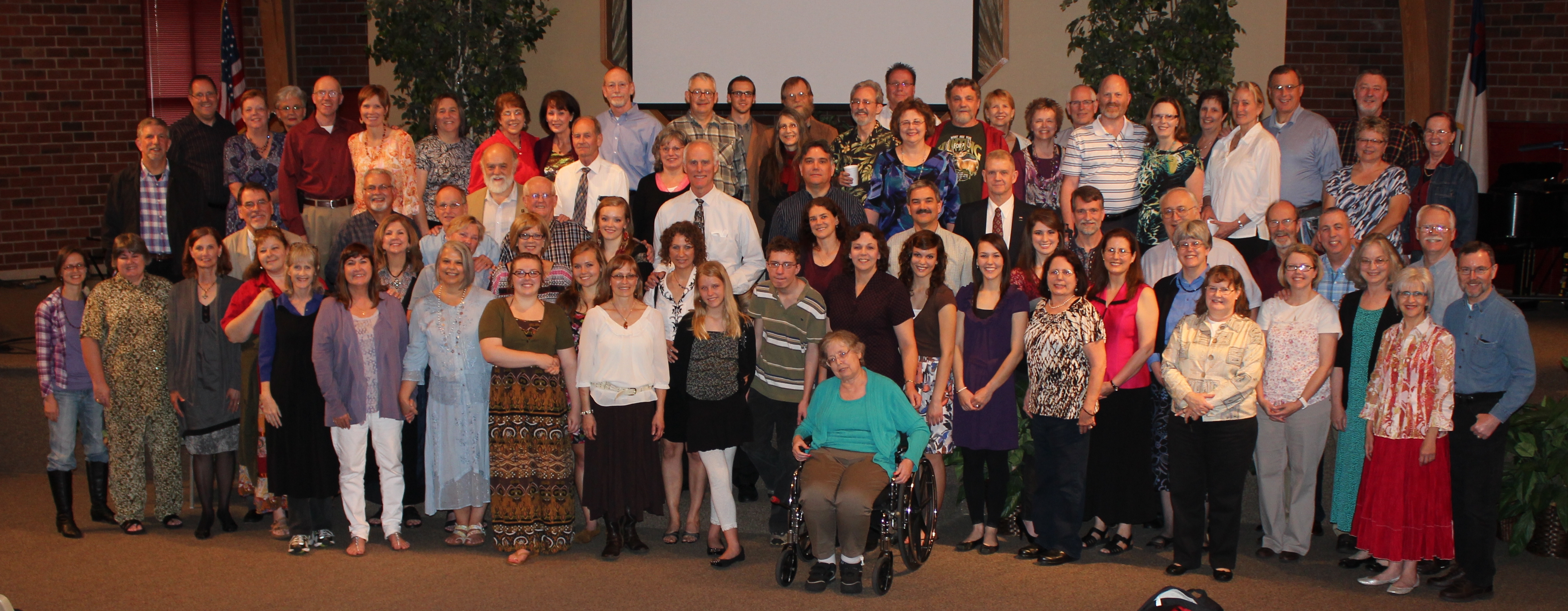
118/366 Group Photo

On the newly rebuilt Douglas County Road 1029 south of Lecompton, the road curves east.
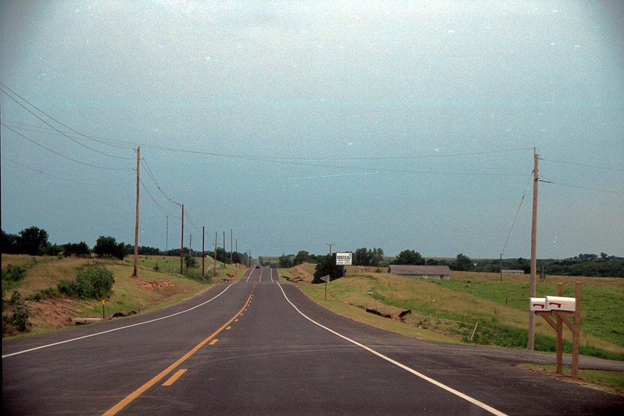
The portion of the new Douglas County Road 1029 south of Lecompton.

_DCS9081.jpg
Kansas sunsets with Libby Stanford.

Camera Roll-947
Camera Roll-939
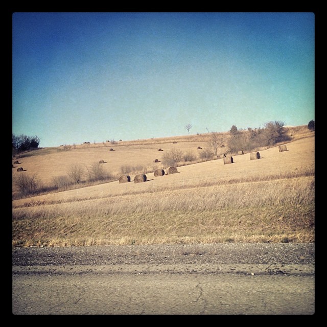
#haybales on our trip to #Topeka.
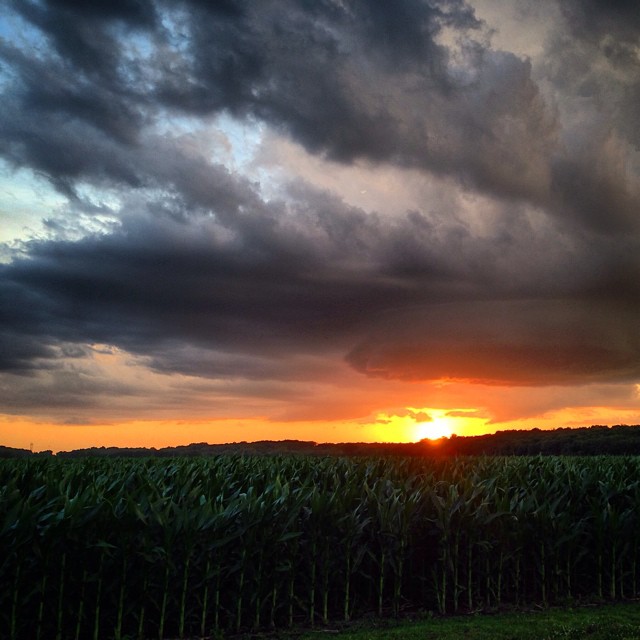
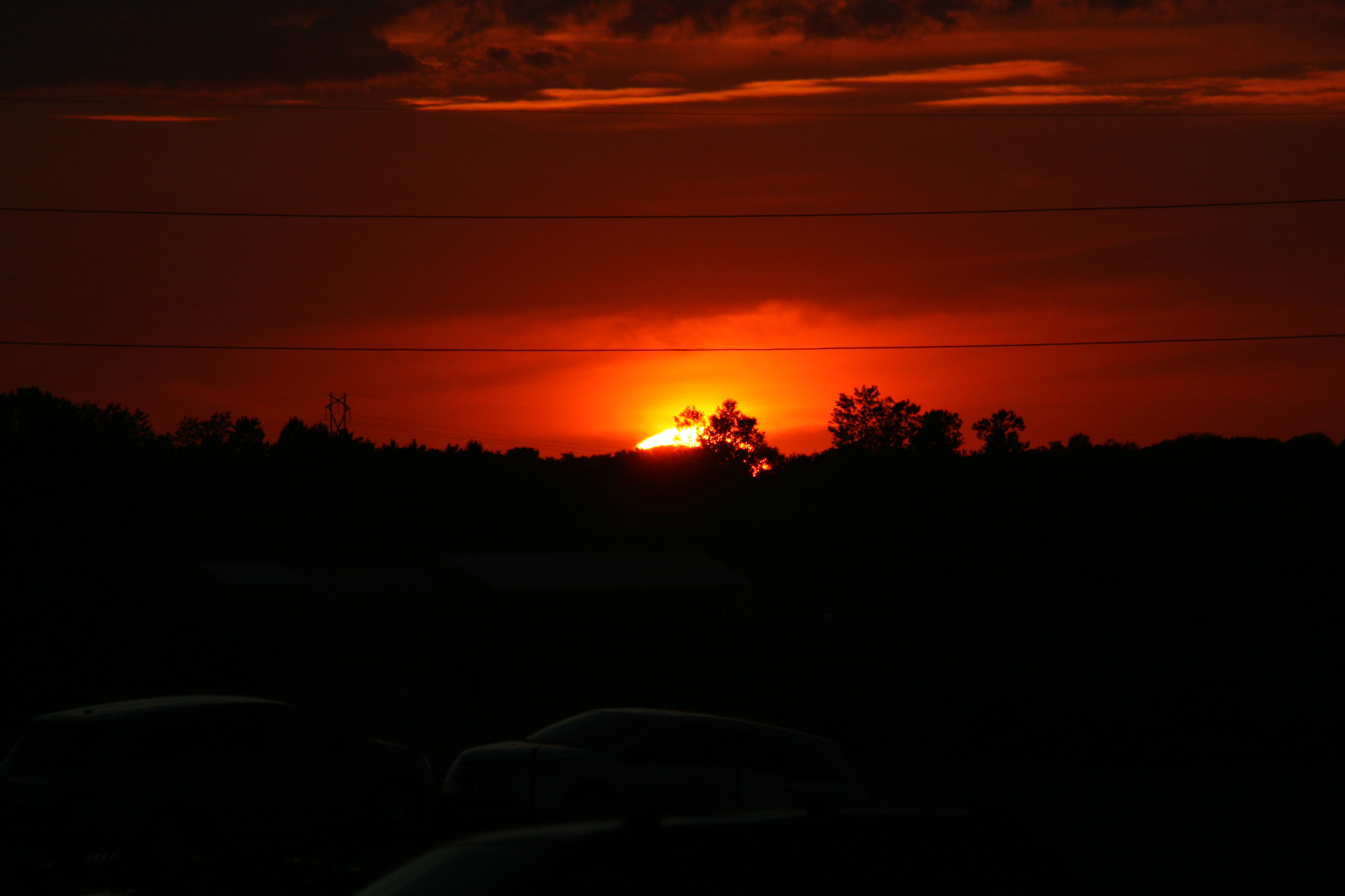
Nothing beats a #Kansas #sunset . #kansasproud #kansaslife #countrylife
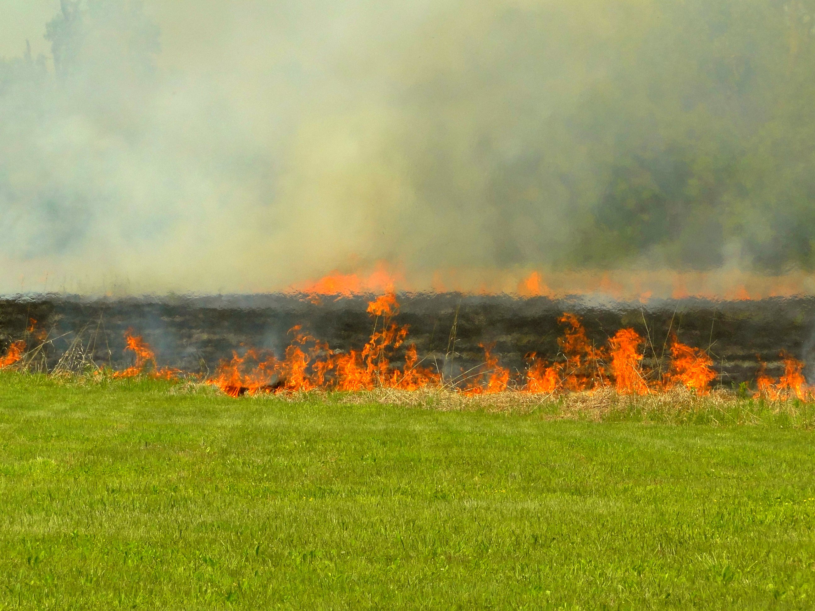
Burning pasture

Black Family
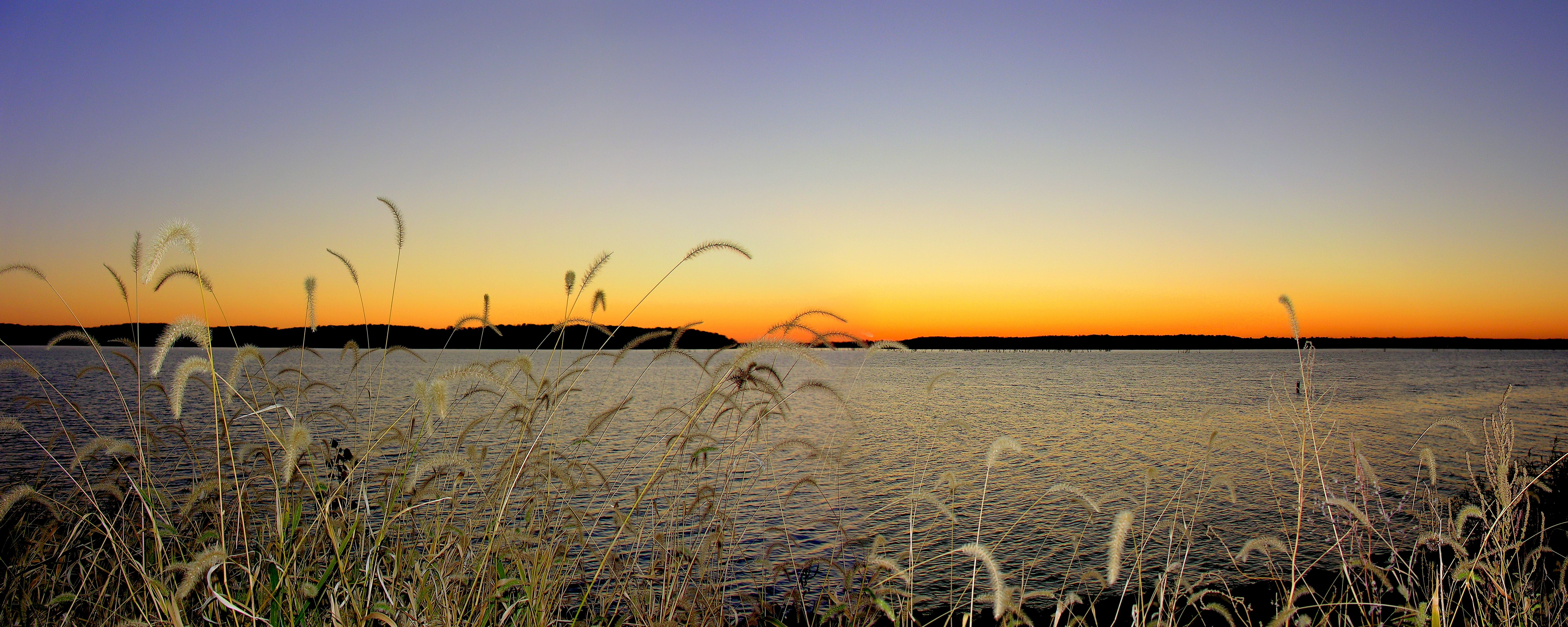
Clinton Lake foxtail sunset

Rainbow walk
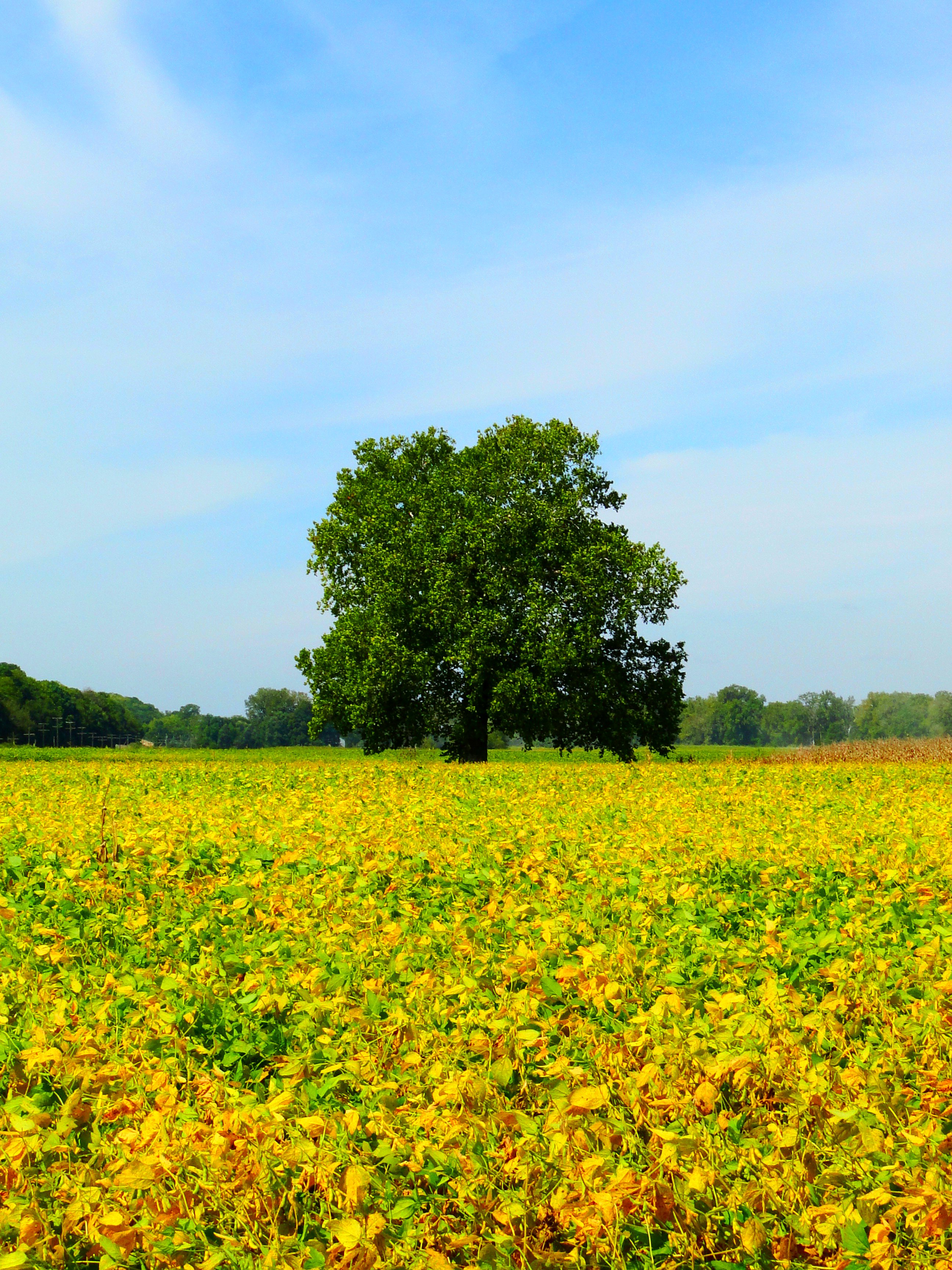
Tree in the bean field
Landscapes and skyscapes
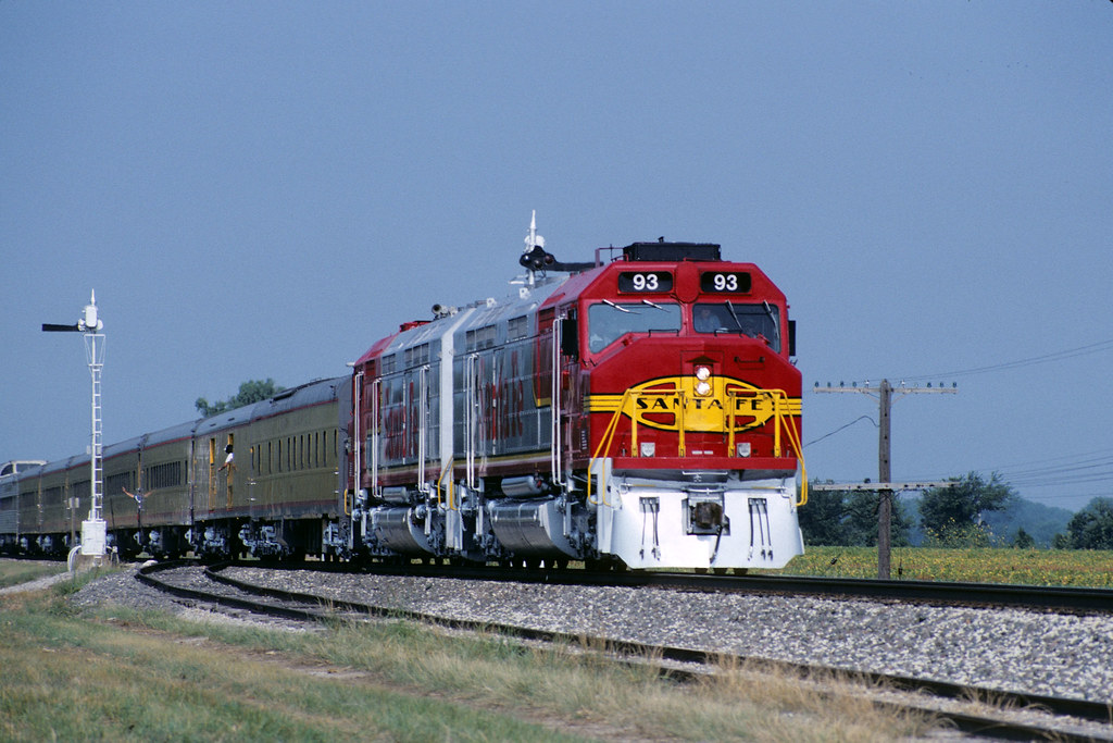
1991 Topeka RR Days Train
Landscapes and skyscapes
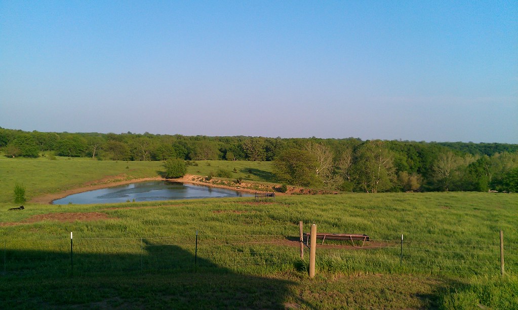
Beaver Pond
Figured I would use the #walden filter since I'm at the #pond. #farm #scenic #rural #rsa_rural #rustic #royalsnappingartists #lfk #kansas #igers #igdaily #iphonesia #iphoneonly #hdr_pics #landscape #hdr_shots #all_shots #beautiful
Awesome sunrise this morning in #Lawrenceks.
immobile storm
Topographic Map of Bridge Rd, Perry, KS, USA
Find elevation by address:

Places near Bridge Rd, Perry, KS, USA:
Kentucky
Perry
Elmore St, Lecompton, KS, USA
Lecompton
N Rd, Lecompton, KS, USA
Newman Rd, Perry, KS, USA
696 N 2050 Rd
1103 Main
Rural
Fairview
SE 2nd St, Tecumseh, KS, USA
Hillcrest Dr, Meriden, KS, USA
6561 Us-59
US-24, Lawrence, KS, USA
Tecumseh
Tecumseh
Huffman St, Meriden, KS, USA
Meriden
901 Se Baldwin Rd
North Fairview Elementary School
Recent Searches:
- Elevation of Corso Fratelli Cairoli, 35, Macerata MC, Italy
- Elevation of Tallevast Rd, Sarasota, FL, USA
- Elevation of 4th St E, Sonoma, CA, USA
- Elevation of Black Hollow Rd, Pennsdale, PA, USA
- Elevation of Oakland Ave, Williamsport, PA, USA
- Elevation of Pedrógão Grande, Portugal
- Elevation of Klee Dr, Martinsburg, WV, USA
- Elevation of Via Roma, Pieranica CR, Italy
- Elevation of Tavkvetili Mountain, Georgia
- Elevation of Hartfords Bluff Cir, Mt Pleasant, SC, USA