Elevation of Fairview, KS, USA
Location: United States > Kansas > Jefferson County >
Longitude: -95.414900
Latitude: 39.1743213
Elevation: 292m / 958feet
Barometric Pressure: 98KPa
Elevation Map:
Satellite Map:
Related Photos:
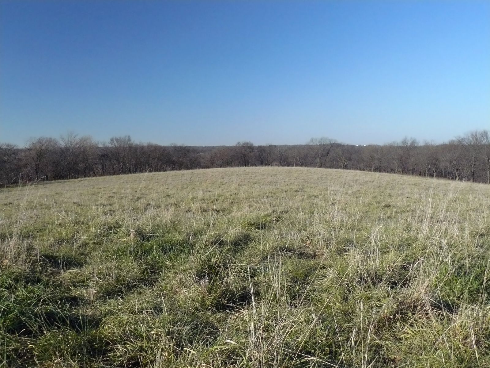
Curvature of the Earth
145/365 [2013] - The View
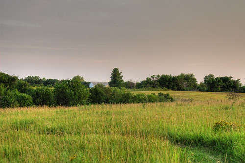
Nice Views ...
Nice Views ...
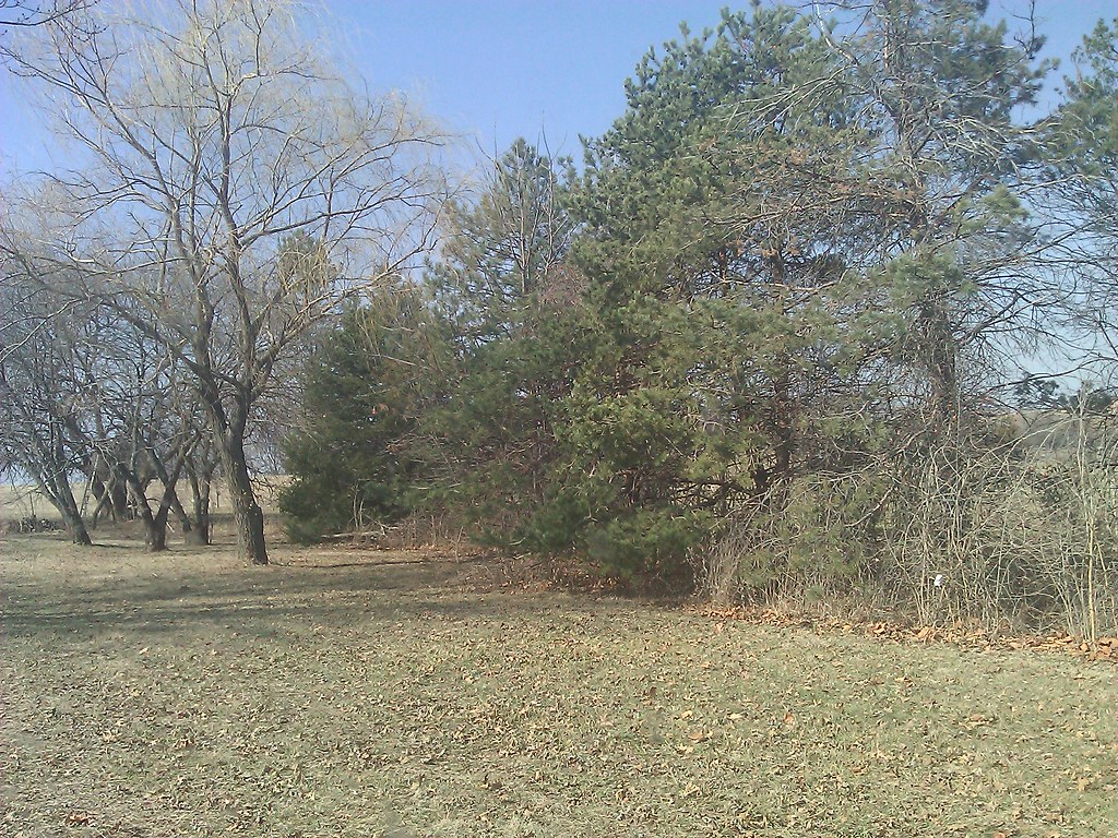
Nice Views ...
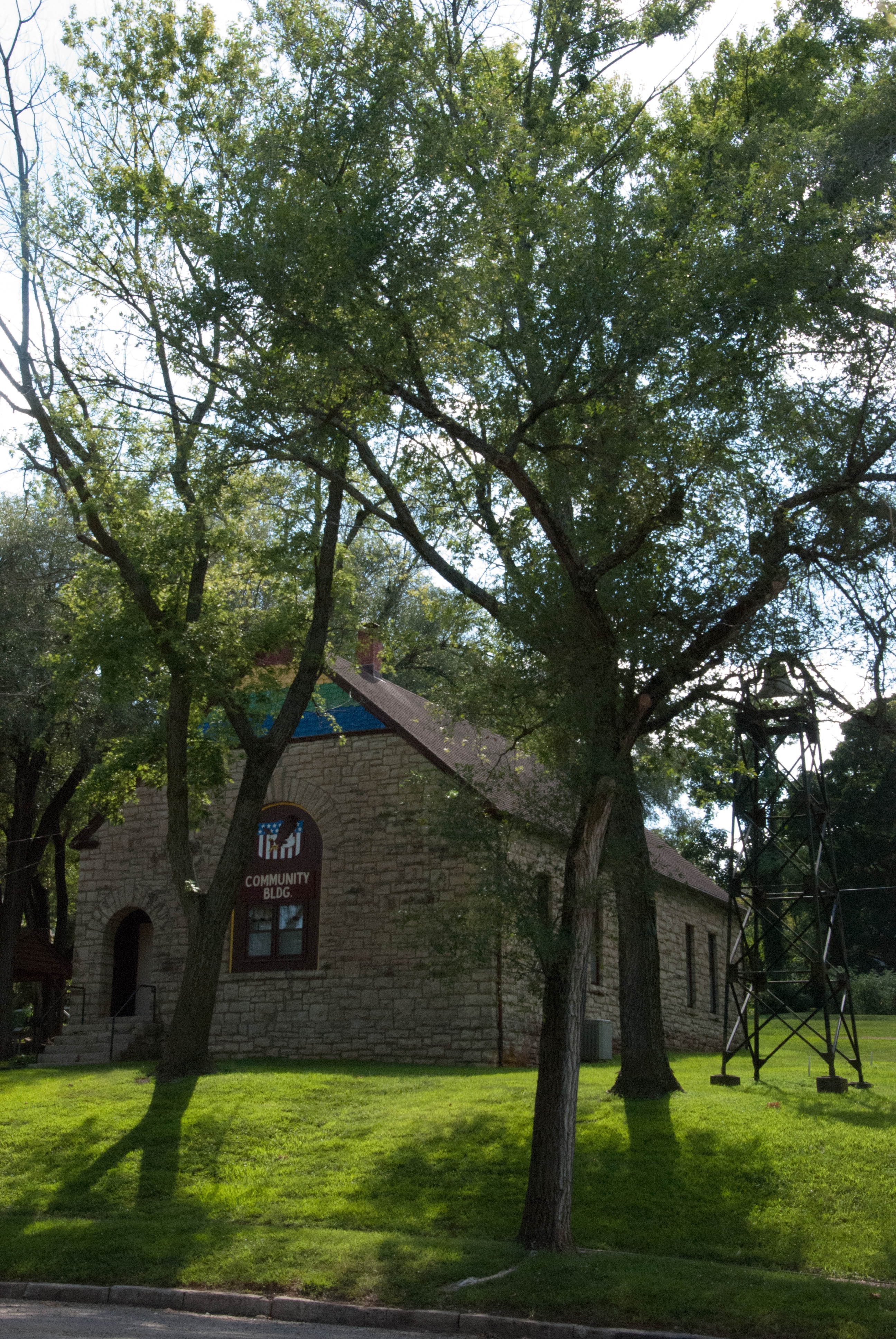
Radical Church
Kansas Democratic Headquarters
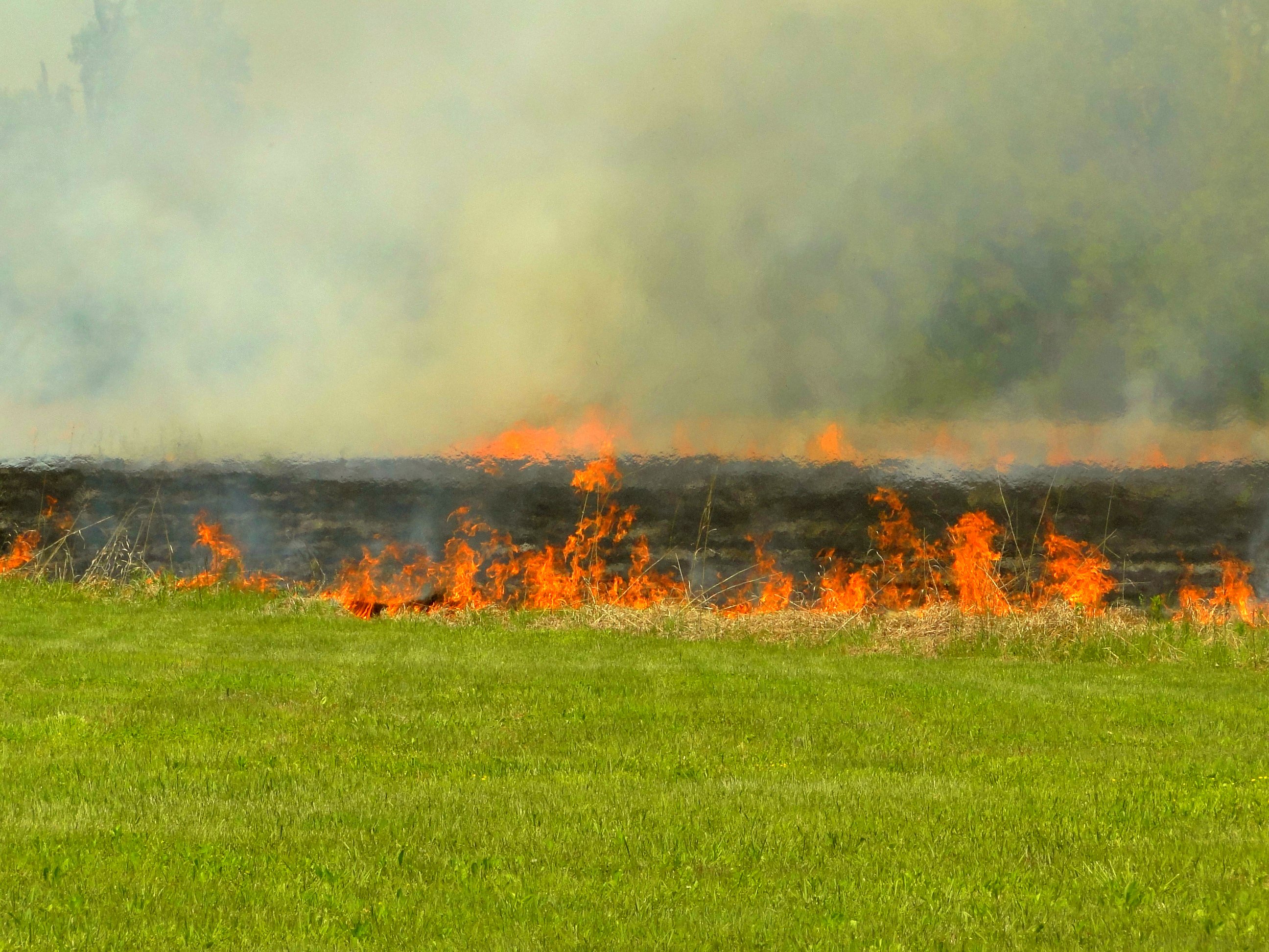
Burning pasture
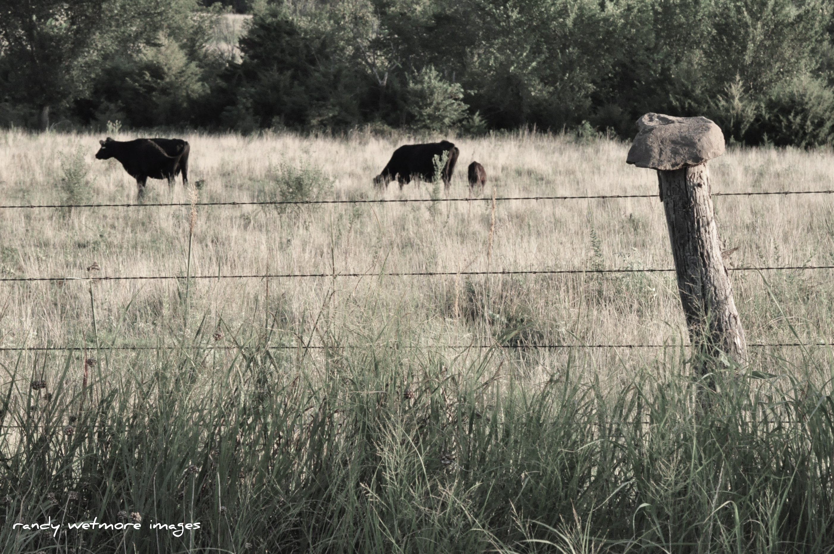
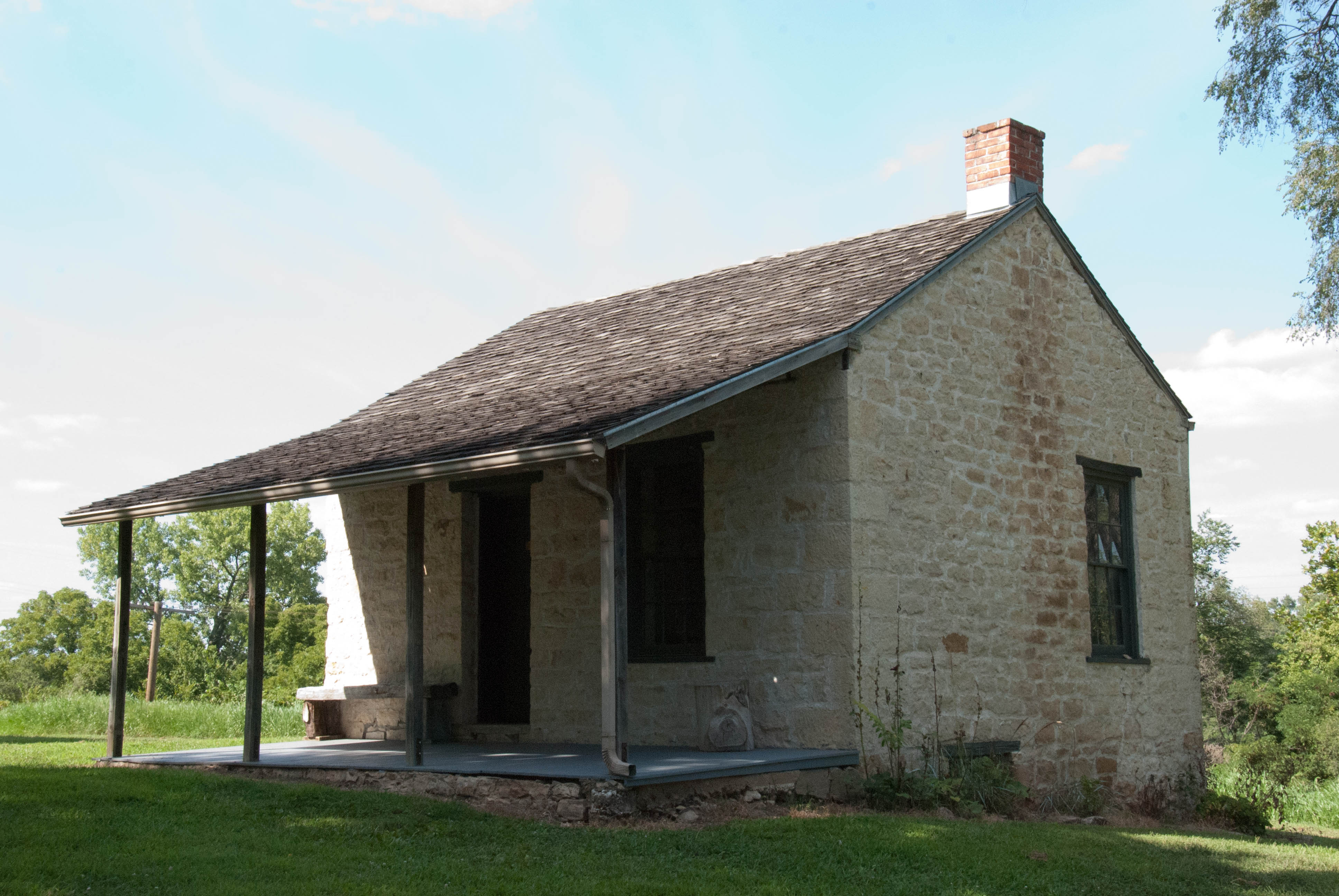
Rock Top Fence
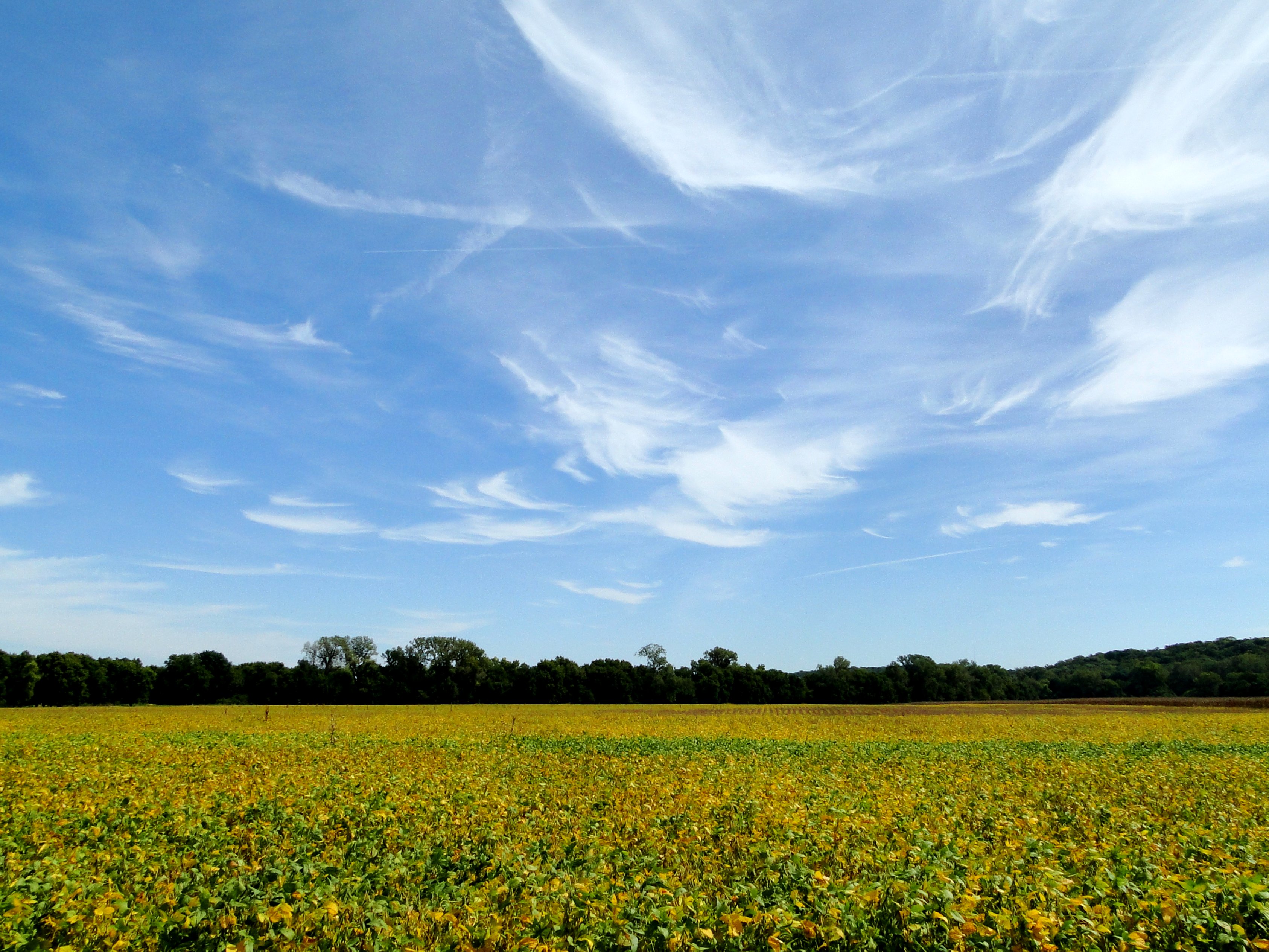
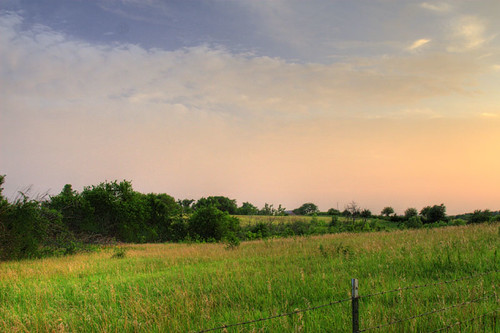
Bean field under wispy clouds

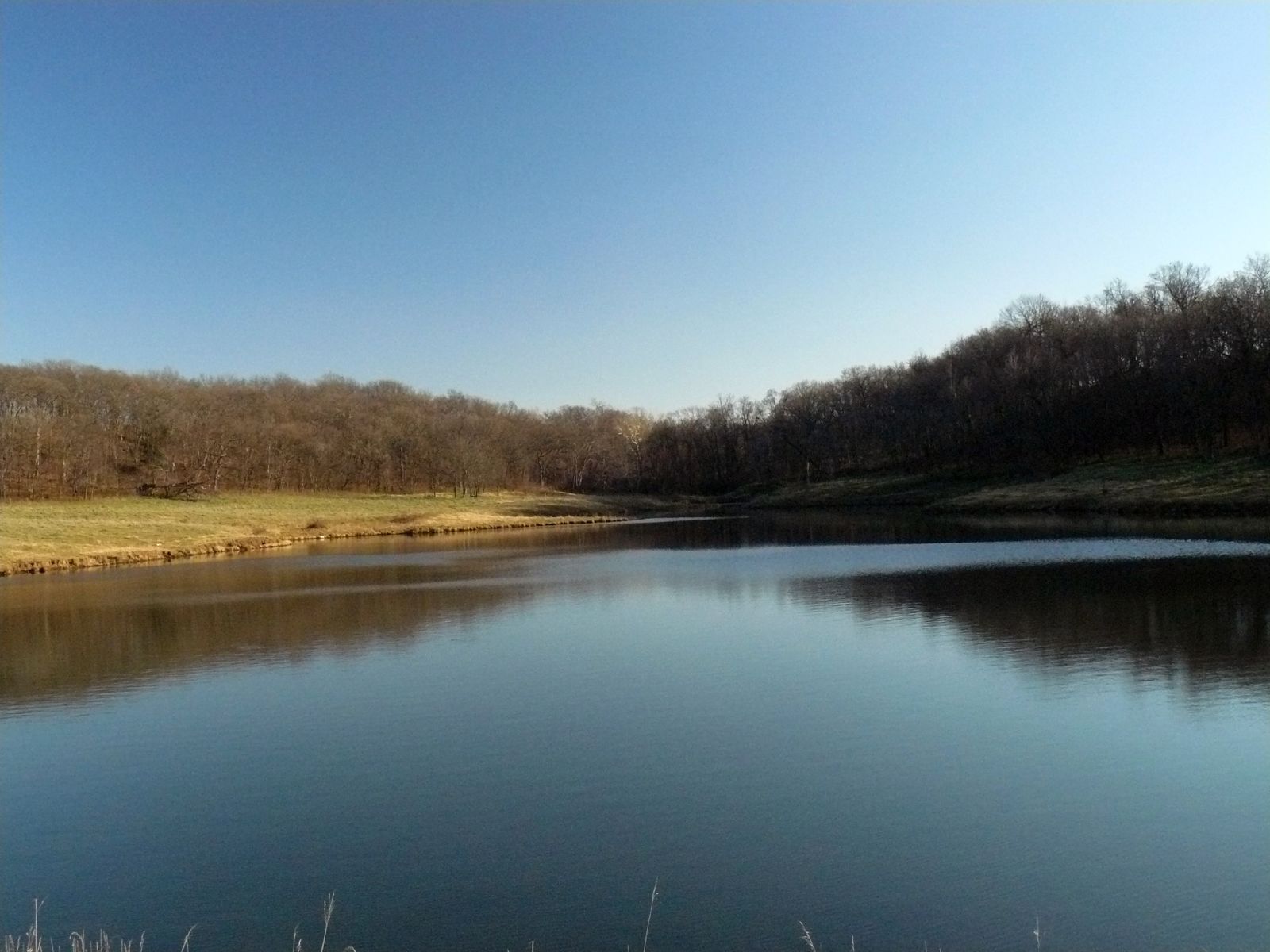
2011-KANSAS58-lake perry

2011-KANSAS58-lake perry3
10 dec 15 1 (40)a
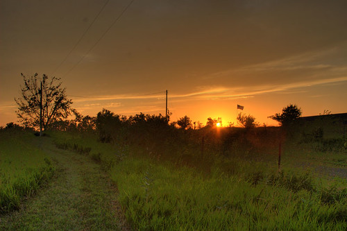
Kansas Sunset
Dusk II
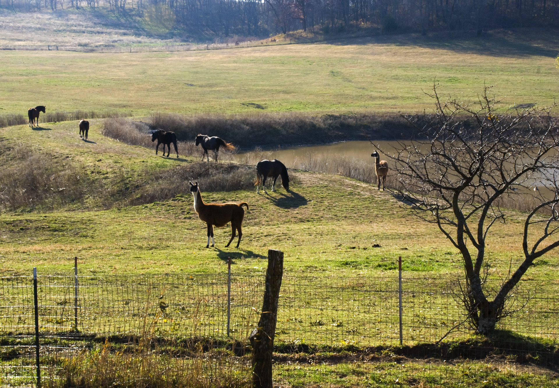
Llamas and horses grazing
Perry Lake Shore
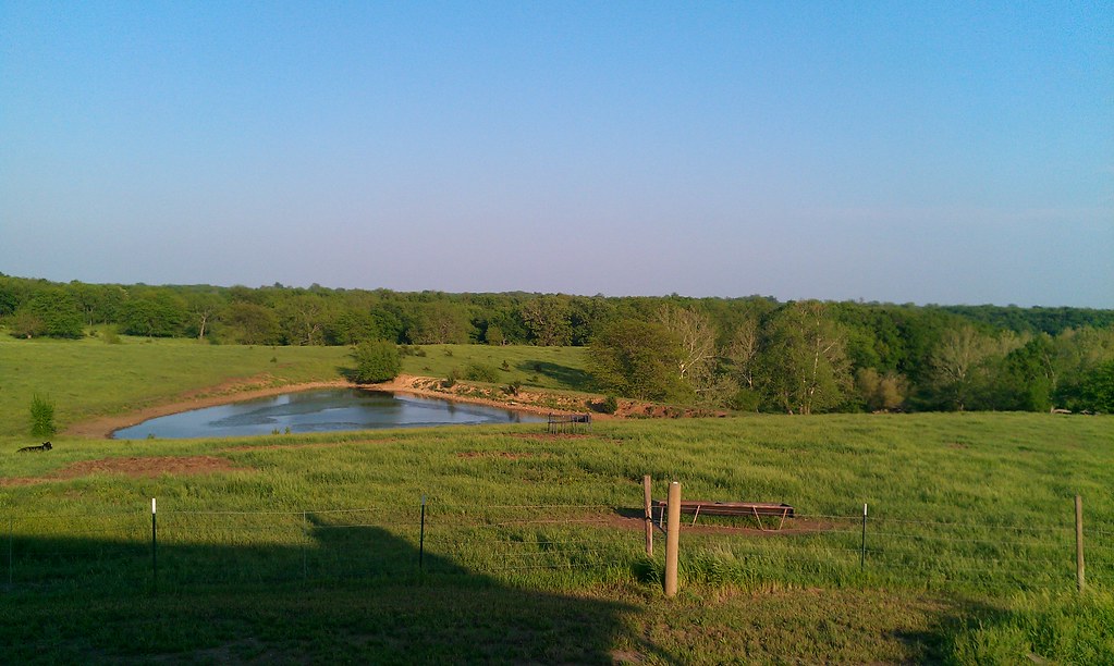
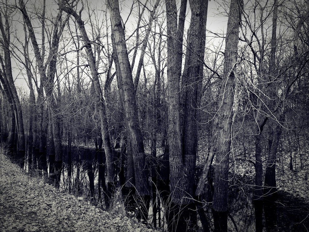
Winter Pond
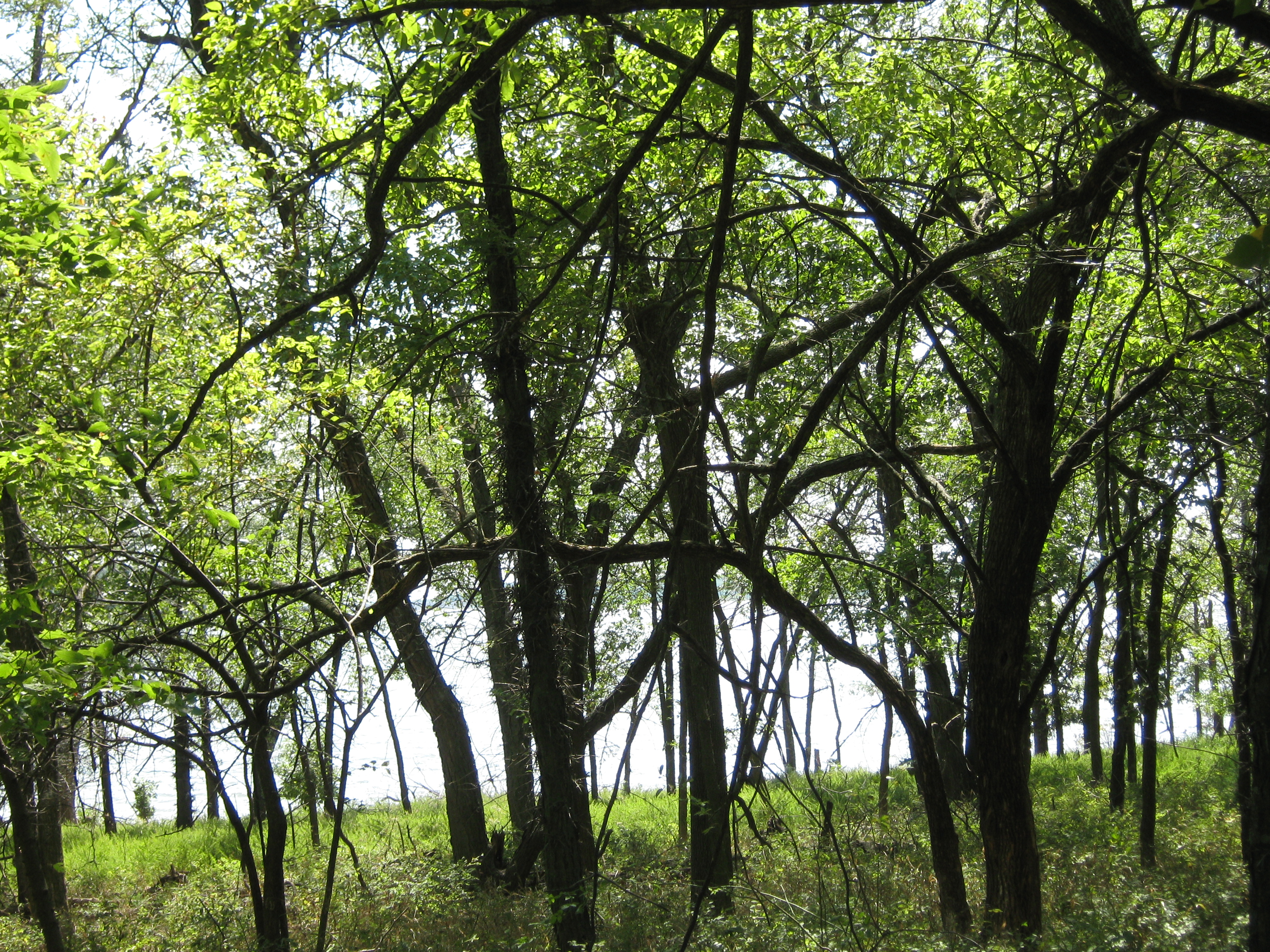
the Winding Path
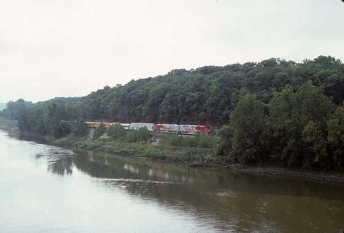
1991 Topeka RR Days Train

Went for a drive today. Came back with some boots which fit my feet AND the vintage skis my dad had. Thank you, Craigslist!
Topographic Map of Fairview, KS, USA
Find elevation by address:

Places in Fairview, KS, USA:
Places near Fairview, KS, USA:
Hillcrest Dr, Meriden, KS, USA
Kentucky
6561 Us-59
Bridge Rd, Perry, KS, USA
Perry
Newman Rd, Perry, KS, USA
Rural
N Rd, Lecompton, KS, USA
Elmore St, Lecompton, KS, USA
Lecompton
1103 Main
696 N 2050 Rd
Huffman St, Meriden, KS, USA
Meriden
SE 2nd St, Tecumseh, KS, USA
US-24, Lawrence, KS, USA
Tecumseh
North Fairview Elementary School
Tecumseh
901 Se Baldwin Rd
Recent Searches:
- Elevation of Corso Fratelli Cairoli, 35, Macerata MC, Italy
- Elevation of Tallevast Rd, Sarasota, FL, USA
- Elevation of 4th St E, Sonoma, CA, USA
- Elevation of Black Hollow Rd, Pennsdale, PA, USA
- Elevation of Oakland Ave, Williamsport, PA, USA
- Elevation of Pedrógão Grande, Portugal
- Elevation of Klee Dr, Martinsburg, WV, USA
- Elevation of Via Roma, Pieranica CR, Italy
- Elevation of Tavkvetili Mountain, Georgia
- Elevation of Hartfords Bluff Cir, Mt Pleasant, SC, USA