Elevation of Kenilworth Skyring Creek Rd, Carters Ridge QLD, Australia
Location: Australia > Queensland > Gympie Regional > Carters Ridge >
Longitude: 152.763446
Latitude: -26.443453
Elevation: 85m / 279feet
Barometric Pressure: 100KPa
Elevation Map:
Satellite Map:
Related Photos:

_20A1336 View from Black Mountain

Queensland National Bank in Kandanga 1921
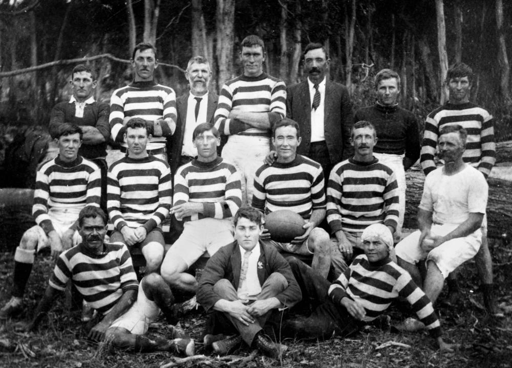
Rugby League team from Kandanga, ca. 1919
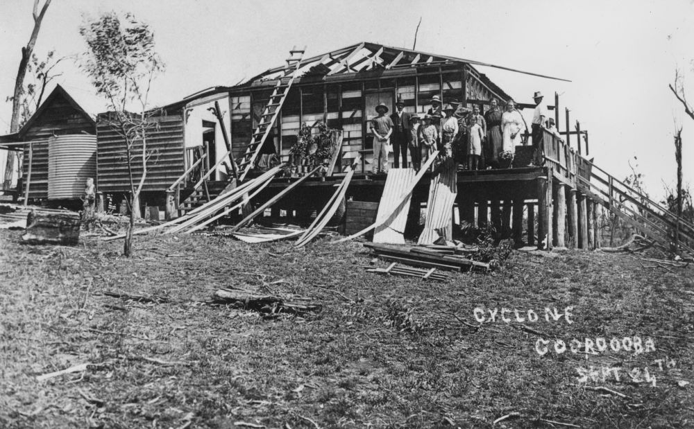
Building damaged by a cyclone, Cooroora, ca. 1918

Two girls standing in front of a house fence, each holding a violin, ca. 1926

Temporary bank in Cooroy in 1909

Ladies versus gentlemen cricket match, Cooroy, ca. 1910

View of Special Train

Opening of Kandanga War Memorial, 1920
Will it rain today.

Flickr Views

Point Glorious

#sunrise #fog 52weeksofblackandwhite #blackandwhite #bnw #monochrome #instablackandwhite #monoart #sunset #sun #TFLers #pretty #beautiful #sky #skyporn #cloudporn #nature #clouds #horizon #photooftheday #instagood #gorgeous #view #night #morning #silhouet

Brachydiplax denticauda male wings

Pomona - Mt Cooroora

View from a clearing about 3/4 of the way to the top at Gheerulla Bluff

View from Thilba Thalba viewpoint

The View

Nannodiplax rubra female wings

View from Shed
like ancient carvings

_20A6007 Corral

_20A6009 Down the lane

_20A6008 Through the gate
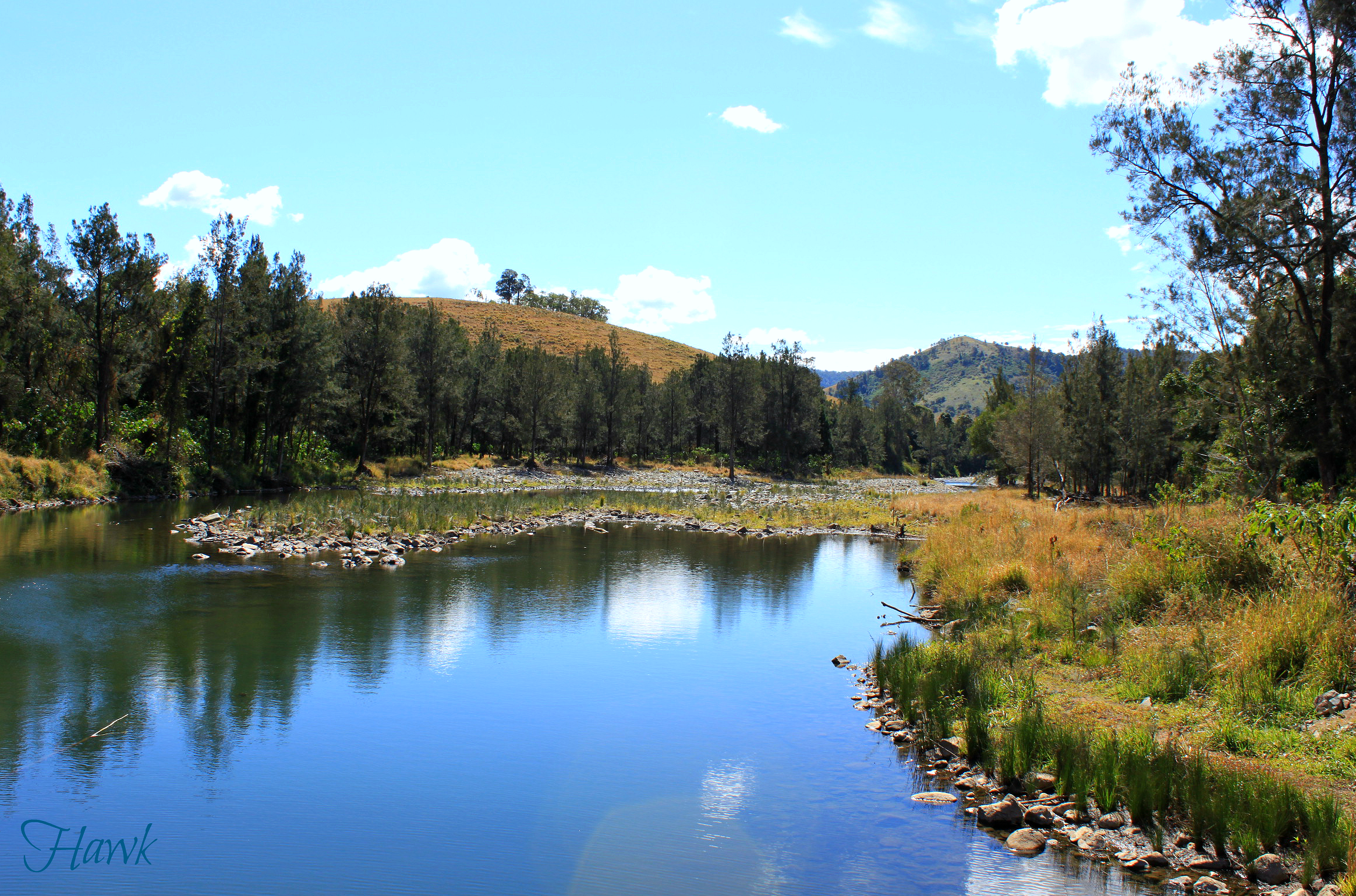
Mary River, Queensland, Australia

_20A1597 Andersons Rd Federal

_20A1594 House in the forest

Silhouettes at Kybong Sunset.

Cooroy panorama

a crown of stars
Imbil Country

From Point Glorious

2012-11-25_1118-01-000 Glasshouse Mountains at Cooroy

Morning Fog

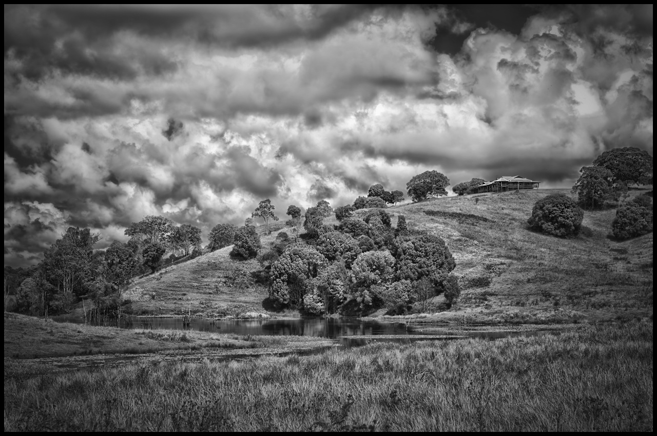
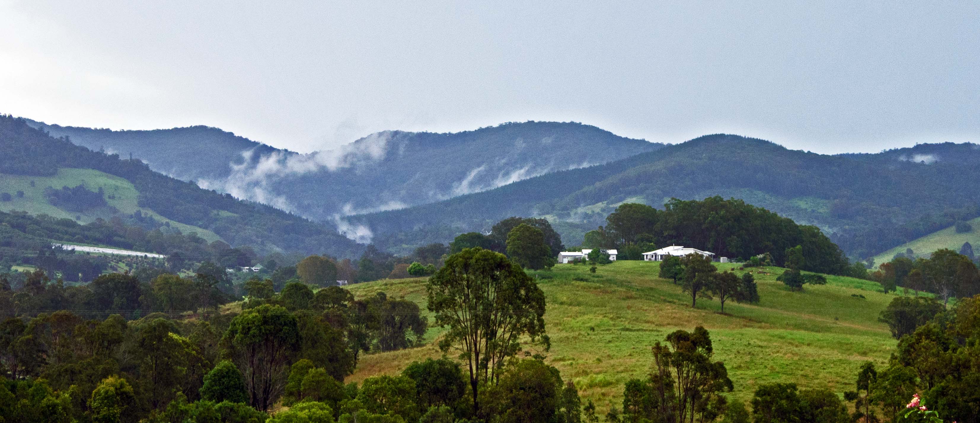
Farm in Imbil

In the Countryside

In the Countryside

Special Train on Bridge

In the Countryside

Photographing Train on Bridge
Topographic Map of Kenilworth Skyring Creek Rd, Carters Ridge QLD, Australia
Find elevation by address:

Places near Kenilworth Skyring Creek Rd, Carters Ridge QLD, Australia:
1019 Kenilworth Skyring Creek Rd
Carters Ridge
Imbil
Traveston
Old Noosa Road
1327 Old Noosa Rd
265 Tandur Traveston Rd
264 Tandur Rd
274 Tandur Rd
Kenilworth
9 Margaret St
Margaret Street
Tandur
3725 Maleny Kenilworth Rd
3 Maher Terrace
91 Tamlyn Rd
330 Lake Macdonald Dr
1270 Noosa Rd
567 Delicia Rd
Upper Kandanga
Recent Searches:
- Elevation of Corso Fratelli Cairoli, 35, Macerata MC, Italy
- Elevation of Tallevast Rd, Sarasota, FL, USA
- Elevation of 4th St E, Sonoma, CA, USA
- Elevation of Black Hollow Rd, Pennsdale, PA, USA
- Elevation of Oakland Ave, Williamsport, PA, USA
- Elevation of Pedrógão Grande, Portugal
- Elevation of Klee Dr, Martinsburg, WV, USA
- Elevation of Via Roma, Pieranica CR, Italy
- Elevation of Tavkvetili Mountain, Georgia
- Elevation of Hartfords Bluff Cir, Mt Pleasant, SC, USA