Elevation of Tandur Traveston Rd, Traveston QLD, Australia
Location: Australia > Queensland > Gympie Regional > Traveston >
Longitude: 152.766362
Latitude: -26.309078
Elevation: 78m / 256feet
Barometric Pressure: 100KPa
Elevation Map:
Satellite Map:
Related Photos:

_20A1336 View from Black Mountain

Queensland National Bank in Kandanga 1921

Two girls standing in front of a house fence, each holding a violin, ca. 1926

Steve Beattie

Italian P.O.W.s working on Beattie's farm at Calico Creek during World War II
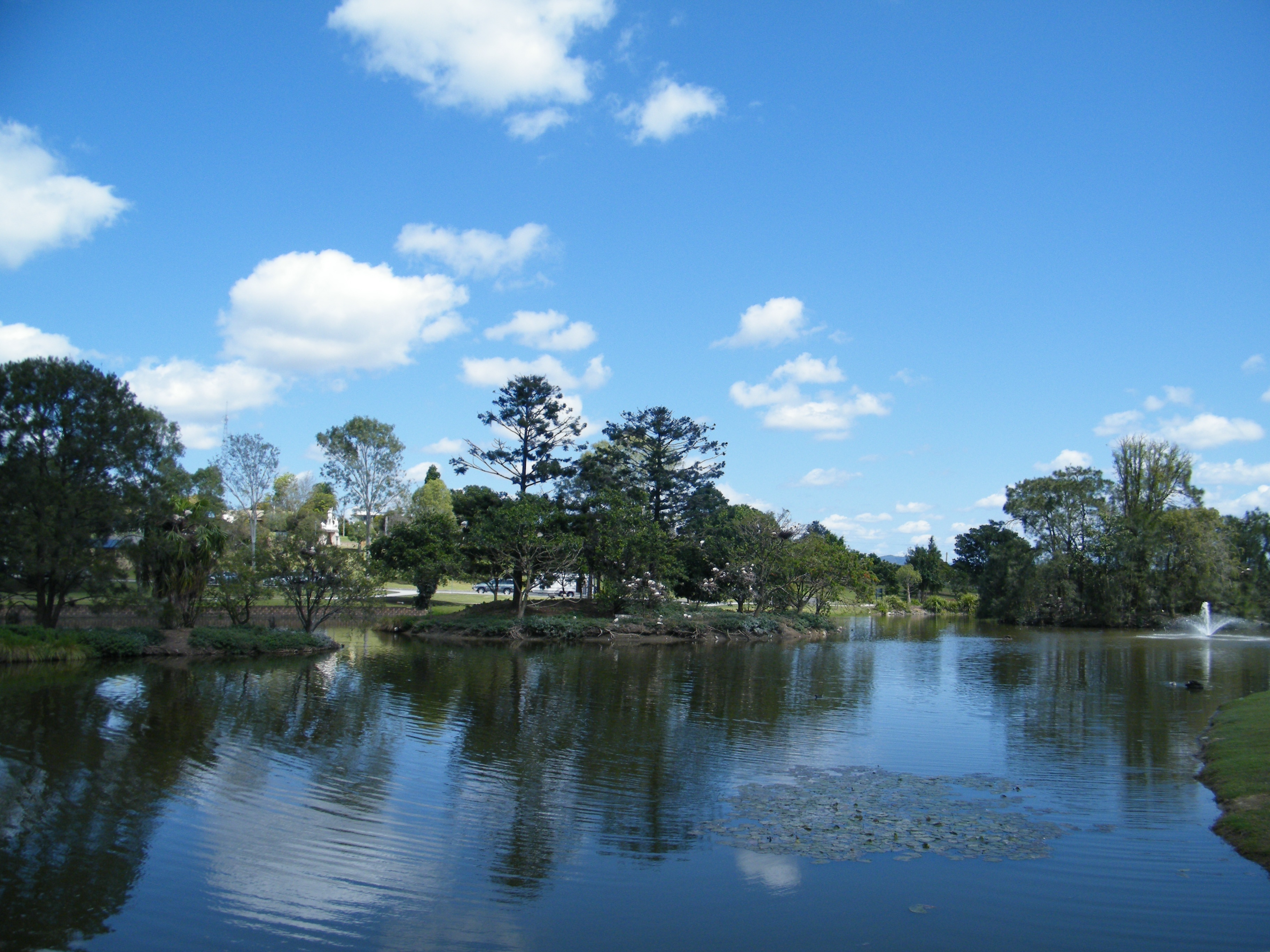
Lake Alford Lake

Pig farm at Deep Creek, Gympie district, 1902
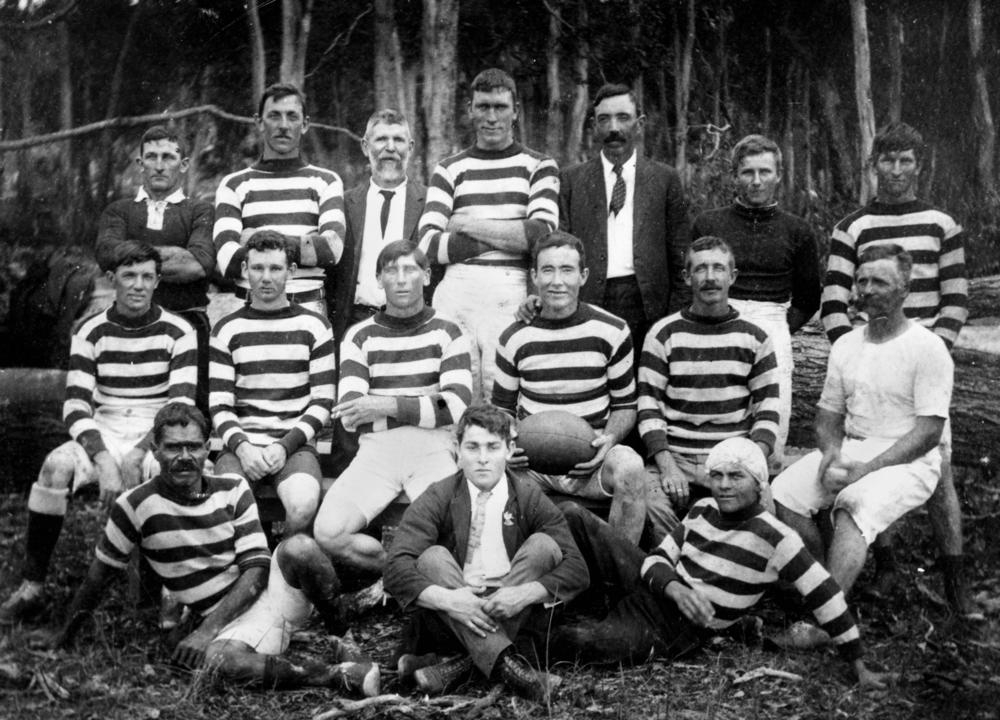
Rugby League team from Kandanga, ca. 1919

Italian prisoners of war working on Beattie's Calico Creek farm, Queensland, 1940
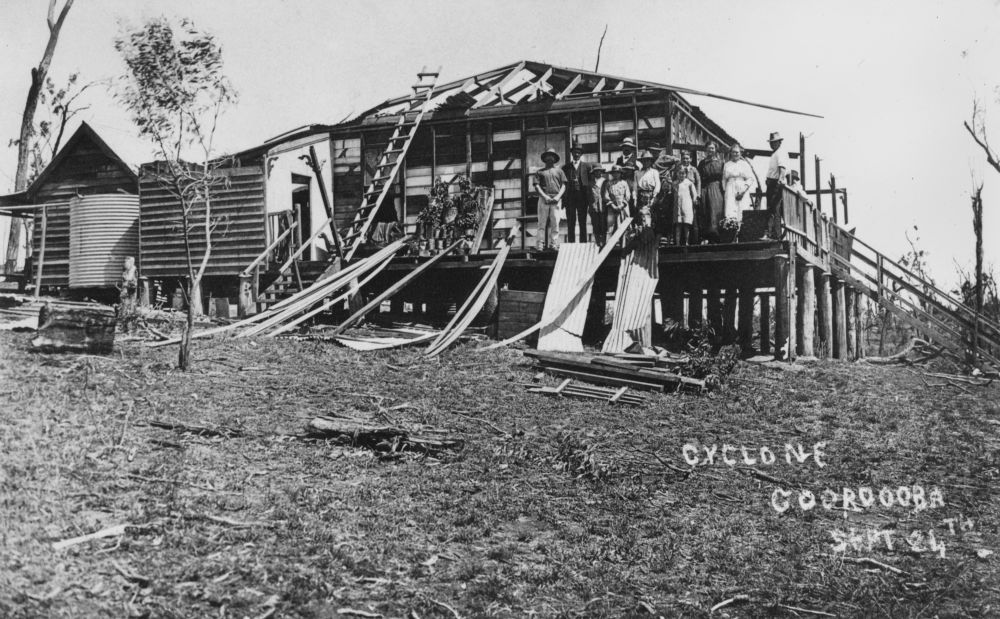
Building damaged by a cyclone, Cooroora, ca. 1918
Will it rain today.

Flickr Views

#sunrise #fog 52weeksofblackandwhite #blackandwhite #bnw #monochrome #instablackandwhite #monoart #sunset #sun #TFLers #pretty #beautiful #sky #skyporn #cloudporn #nature #clouds #horizon #photooftheday #instagood #gorgeous #view #night #morning #silhouet

_20A5107 Mothar Rock Pools

_20A3570 Tree on the hill
_20A5289-91 Finally water Falls at rock pools

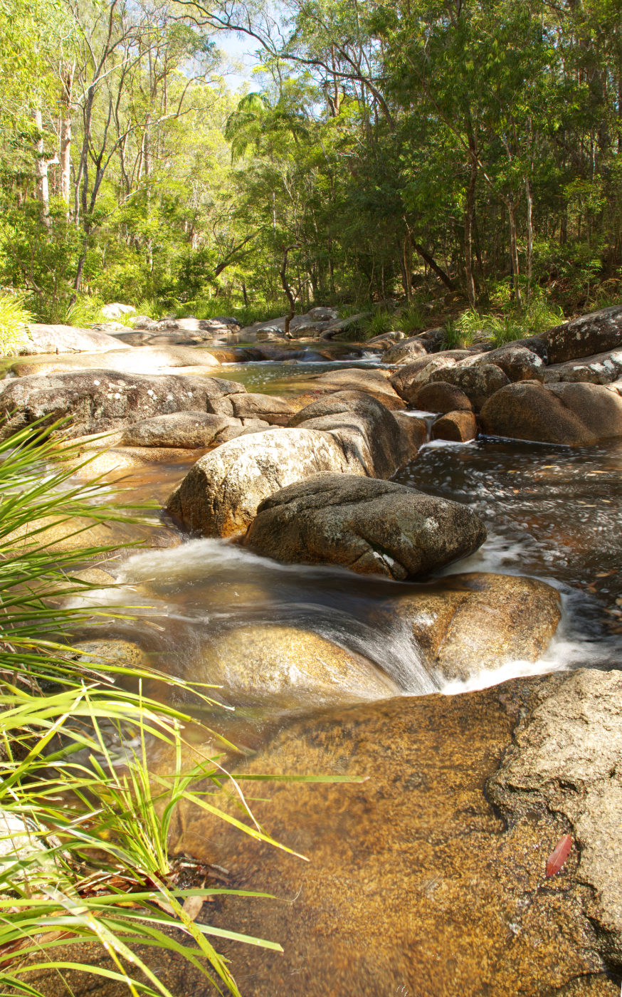
_20A5106 Mothar Rock Pools

_20A1597 Andersons Rd Federal

_20A1594 House in the forest

Special Train on Bridge

Lawn of the Birds II

Deep Creek Sunset

Silhouettes at Kybong Sunset.

Hail Mary, Gympie, Queensland, Australia.

James McKane Memorial Lookout
Imbil Country

Lake Alford Park

Mary Valley Heritage Railway

2012-11-25_1118-01-000 Glasshouse Mountains at Cooroy

Gympie, Queensland in winter (set of 27)

Morning Fog

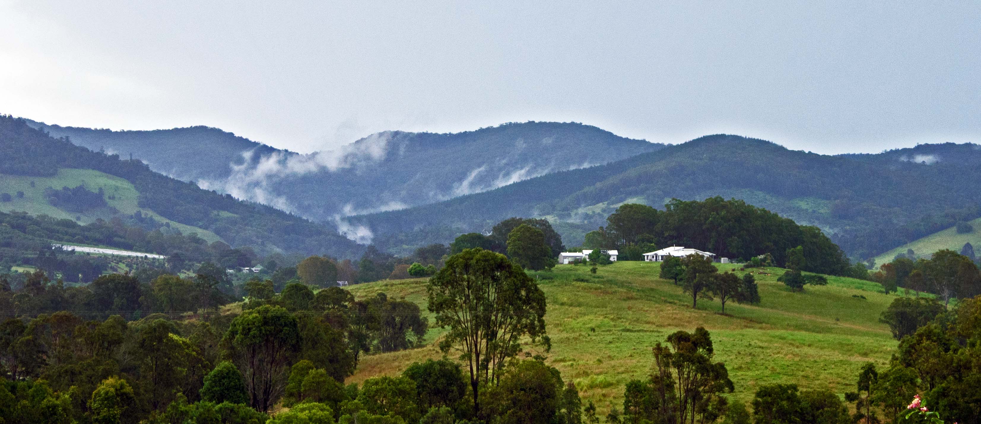
20111102_1812 Mary Valley landscape
Topographic Map of Tandur Traveston Rd, Traveston QLD, Australia
Find elevation by address:

Places near Tandur Traveston Rd, Traveston QLD, Australia:
264 Tandur Rd
274 Tandur Rd
Traveston
Tandur
1327 Old Noosa Rd
Old Noosa Road
1270 Noosa Rd
1014 Noosa Rd
Mothar Mountain
605 Shadbolt Rd
27 Okeeffe Rd
Cedar Pocket
12 Paling Rd
Kin Kin
1139 Pomona Kin Kin Rd
8 Robinson Rd
Calico Creek
456 Beenham Valley Rd
Jones Hill
80 Noosa Rd
Recent Searches:
- Elevation of Corso Fratelli Cairoli, 35, Macerata MC, Italy
- Elevation of Tallevast Rd, Sarasota, FL, USA
- Elevation of 4th St E, Sonoma, CA, USA
- Elevation of Black Hollow Rd, Pennsdale, PA, USA
- Elevation of Oakland Ave, Williamsport, PA, USA
- Elevation of Pedrógão Grande, Portugal
- Elevation of Klee Dr, Martinsburg, WV, USA
- Elevation of Via Roma, Pieranica CR, Italy
- Elevation of Tavkvetili Mountain, Georgia
- Elevation of Hartfords Bluff Cir, Mt Pleasant, SC, USA