Elevation of Tandur Rd, Tandur QLD, Australia
Location: Australia > Queensland > Gympie Regional > Tandur >
Longitude: 152.747848
Latitude: -26.306315
Elevation: 114m / 374feet
Barometric Pressure: 100KPa
Elevation Map:
Satellite Map:
Related Photos:
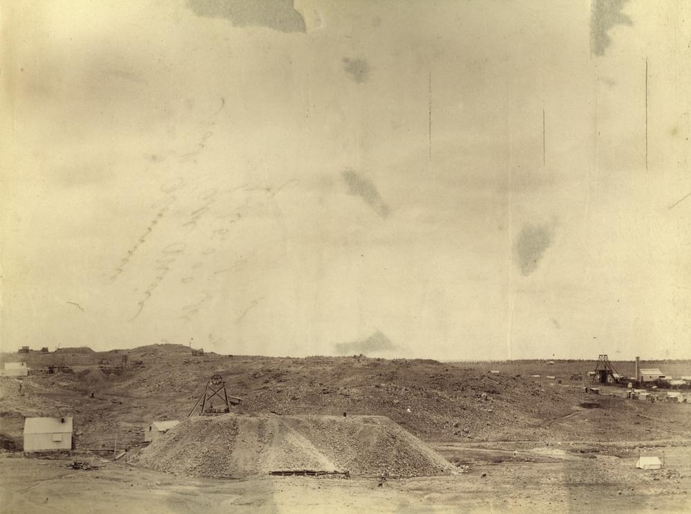
Diggings at South Glanmine gold mine, 190
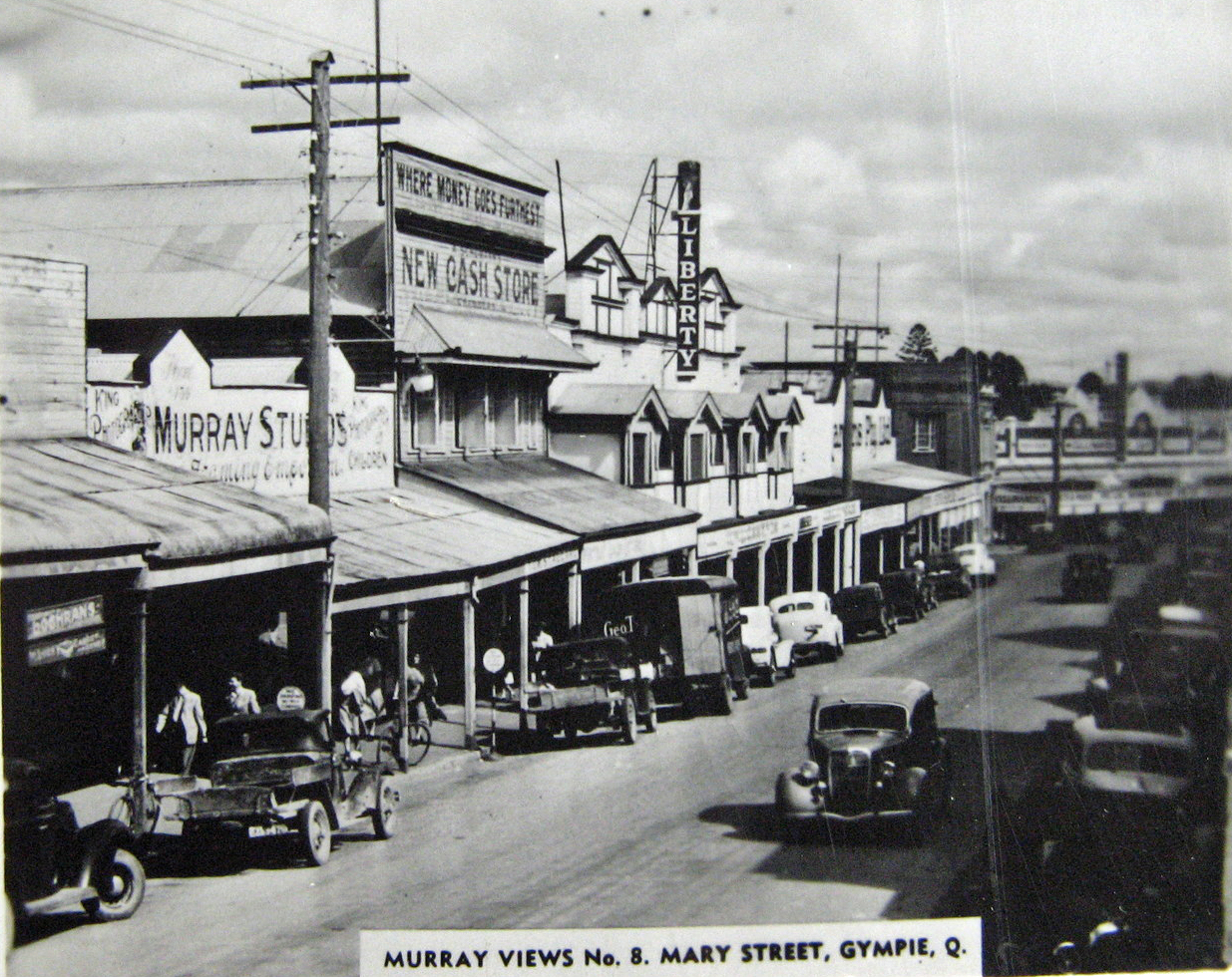
Mary Street, Gympie - circa 1940
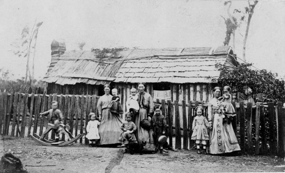
Mothers and their children standing outside a bark house, Gympie, ca. 1872
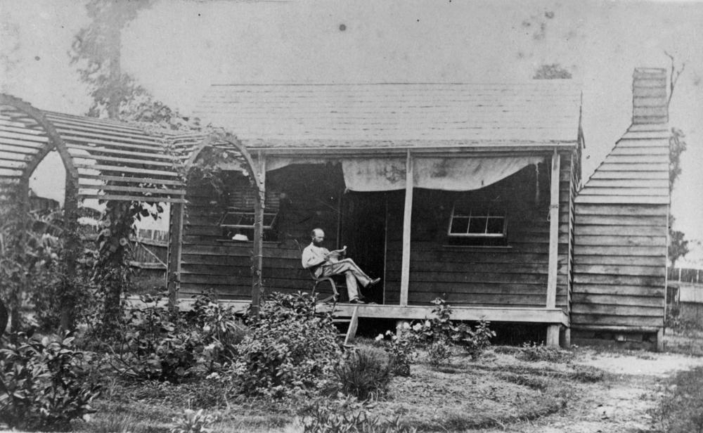
Reading the paper in a Gympie garden, ca. 1871

Children from the Cundith family at Gympie, Queensland, having an outdoors tea party, ca. 1918

Italian prisoners of war working on Beattie's Calico Creek farm, Queensland, 1940

Mary Street, Gympie - circa 1940
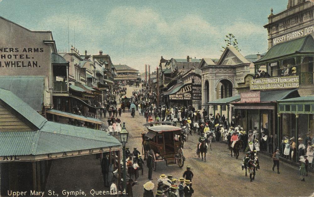
Crowds attending parade Upper Mary St Gympie Queensland
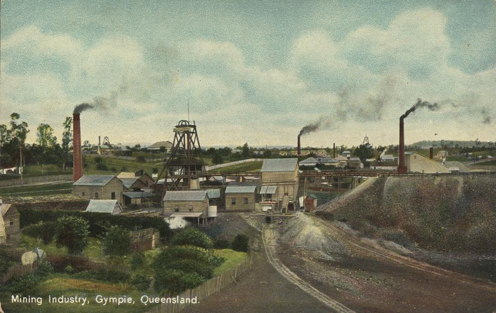
Mining industry at Gympie, Queensland
Gympie, Queensland - 1906

Italian P.O.W.s working on Beattie's farm at Calico Creek during World War II

Chinese water lift in Gympie, 1902

Representative gathering of mining men at the Scottish Gympie Gold Mine, 1900
#sunrise #fog 52weeksofblackandwhite #blackandwhite #bnw #monochrome #instablackandwhite #monoart #sunset #sun #TFLers #pretty #beautiful #sky #skyporn #cloudporn #nature #clouds #horizon #photooftheday #instagood #gorgeous #view #night #morning #silhouet

Rugby League team from Kandanga, ca. 1919

Lake Alford Lake

Hail Mary, Gympie, Queensland, Australia.
Mary Valley Heritage Railway

July Sky
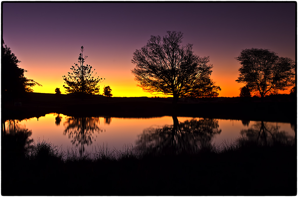
Silhouettes at Kybong Sunset.
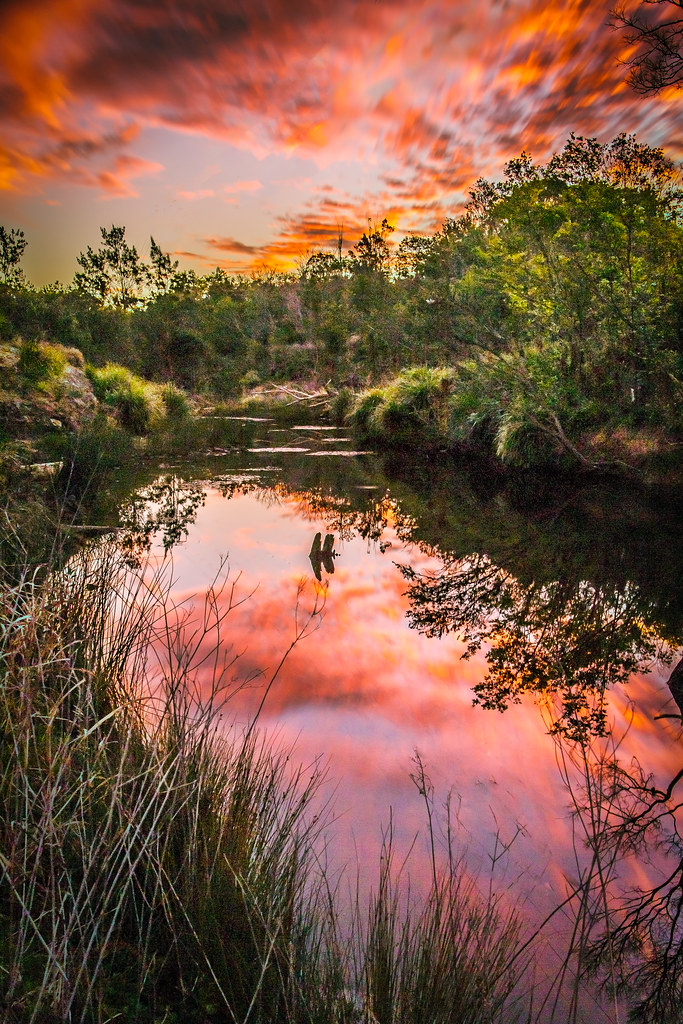
Deep Creek Sunset
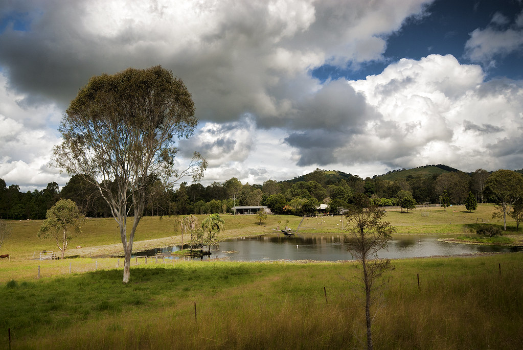
Hinterland hills

Sunset storm #queensland #australia #nature #ig_australia #exploreaustralia #sun #sunset #afternoon #sky #tree #sunlight #light #trees #storm #stormfront #cooran #cooranmountain #pinbarren #lovethisplace

2018-06-12 Amamoor Lodge N
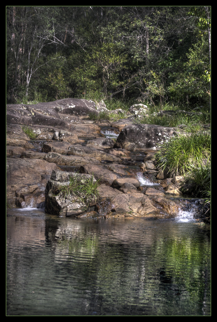
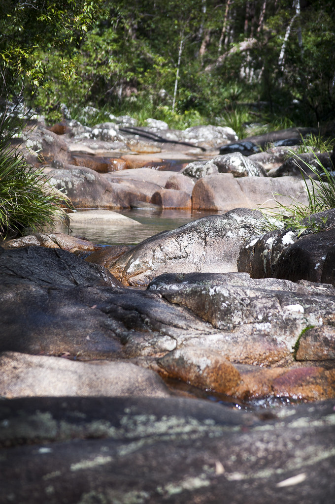
Mothar Mountain Rockpools
Left Behind
Sunshine Coast peaks from Mt Cooroora

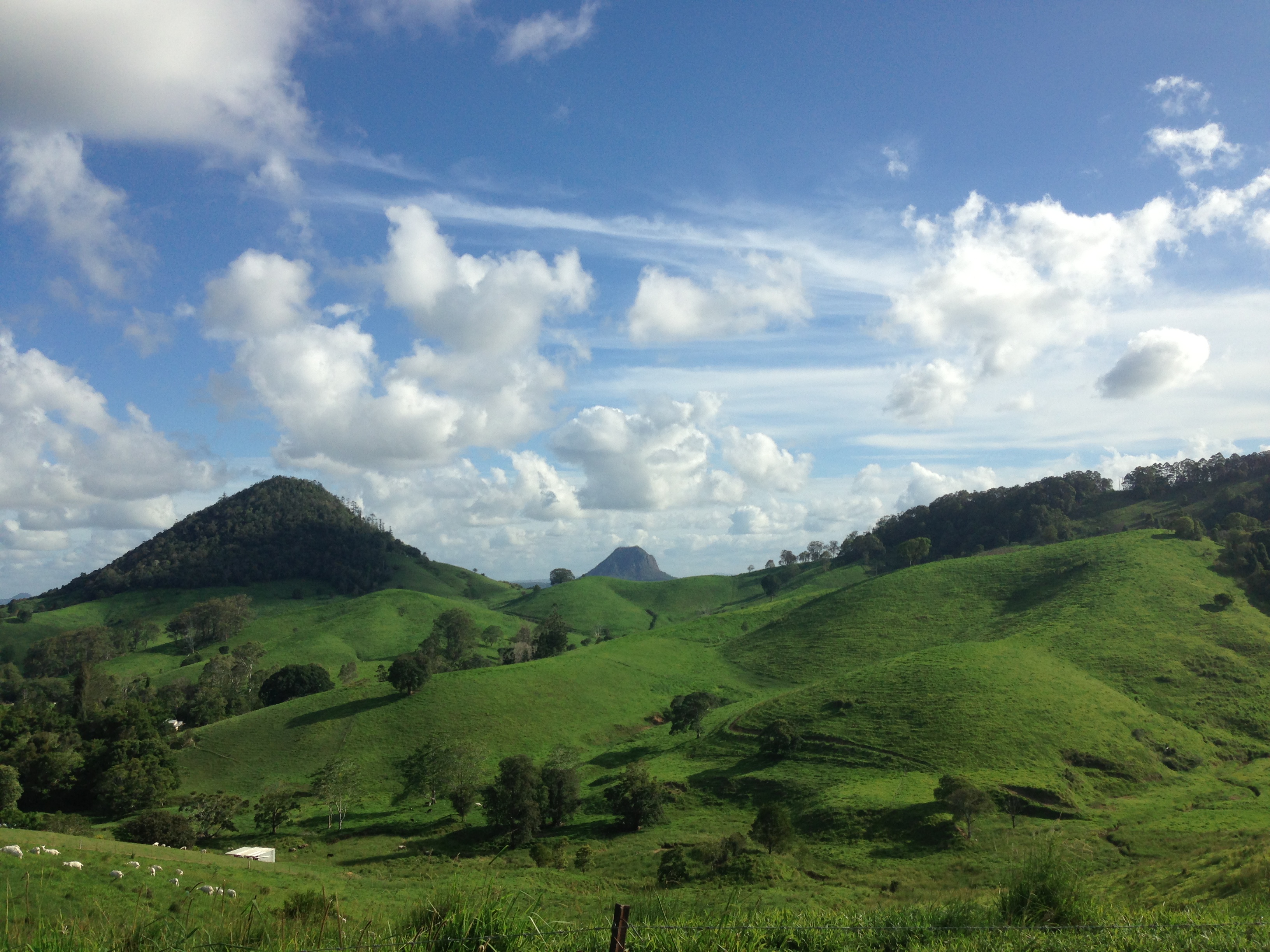
20111102_1812 Mary Valley landscape
VH_20120820_Dog walk_1001290
Mothar Mountain Rockpools
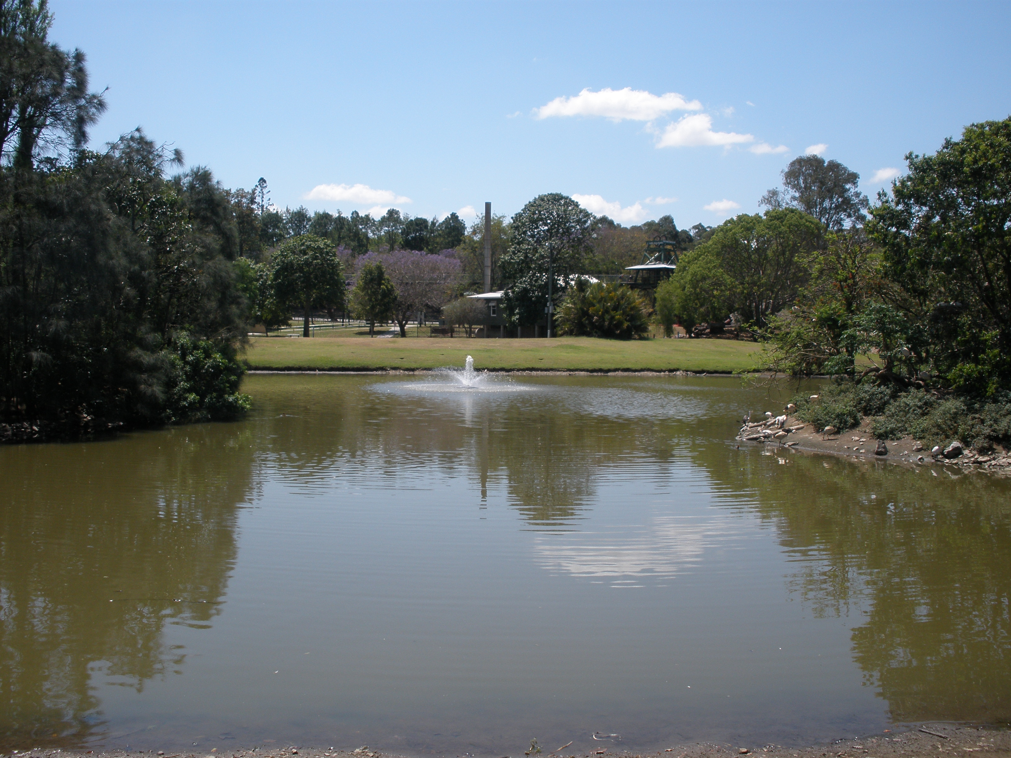
Lake Alford Gympie
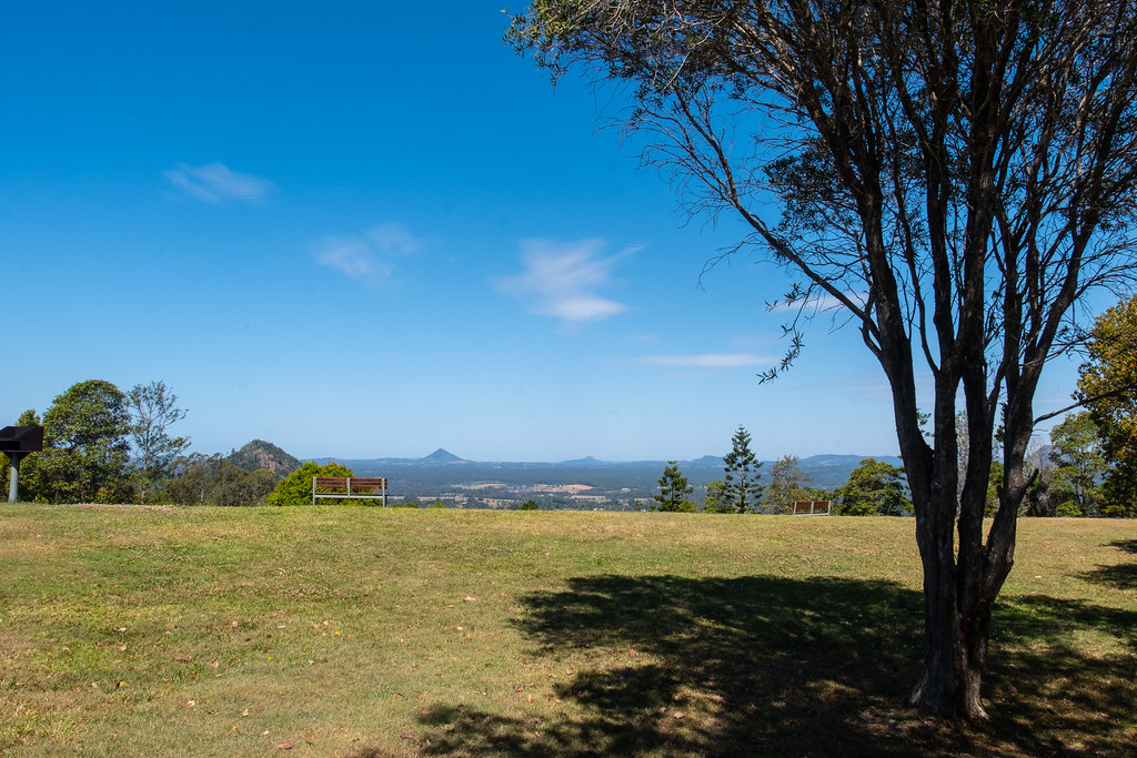
James McKane Memorial Lookout

2012-11-25_1118-25-000
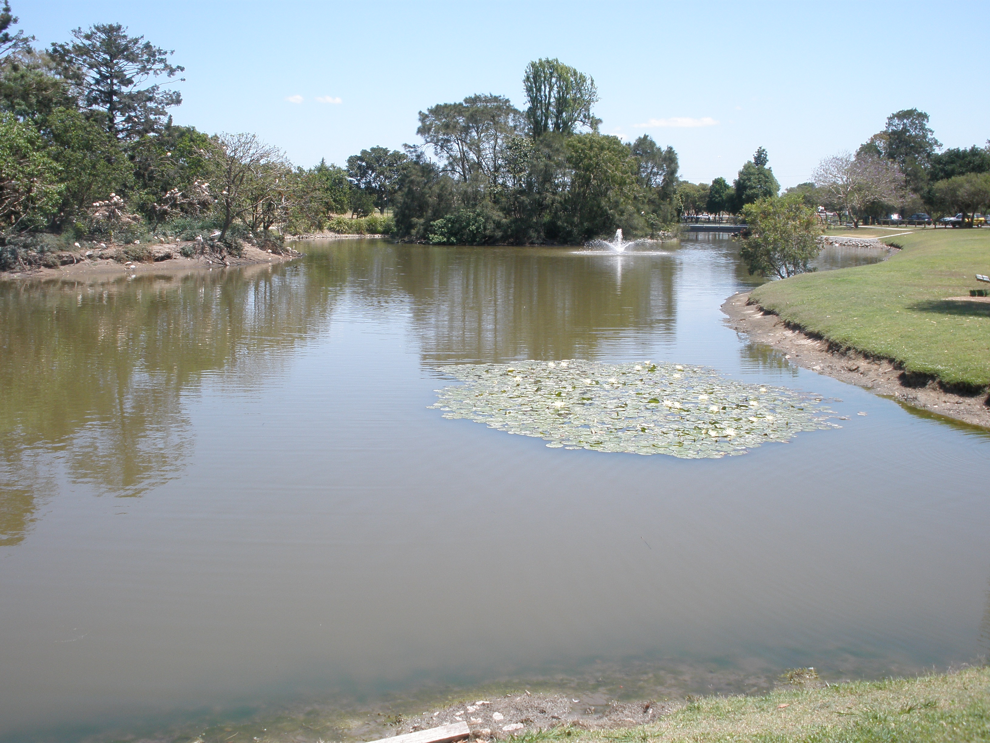
Lake Alford Gympie
Lake Alford Gympie

Mothar Mountain Rockpools
Topographic Map of Tandur Rd, Tandur QLD, Australia
Find elevation by address:

Places near Tandur Rd, Tandur QLD, Australia:
274 Tandur Rd
265 Tandur Traveston Rd
Tandur
Traveston
1270 Noosa Rd
1014 Noosa Rd
1327 Old Noosa Rd
Old Noosa Road
Mothar Mountain
27 Okeeffe Rd
605 Shadbolt Rd
12 Paling Rd
8 Robinson Rd
Calico Creek
Cedar Pocket
Jones Hill
655 Mcintosh Creek Rd
80 Noosa Rd
Monkland
39 Presidential Ave
Recent Searches:
- Elevation of Corso Fratelli Cairoli, 35, Macerata MC, Italy
- Elevation of Tallevast Rd, Sarasota, FL, USA
- Elevation of 4th St E, Sonoma, CA, USA
- Elevation of Black Hollow Rd, Pennsdale, PA, USA
- Elevation of Oakland Ave, Williamsport, PA, USA
- Elevation of Pedrógão Grande, Portugal
- Elevation of Klee Dr, Martinsburg, WV, USA
- Elevation of Via Roma, Pieranica CR, Italy
- Elevation of Tavkvetili Mountain, Georgia
- Elevation of Hartfords Bluff Cir, Mt Pleasant, SC, USA