Elevation of Kelly Loop, Sonora, CA, USA
Location: United States > California > Tuolumne County > Sonora >
Longitude: -120.33425
Latitude: 37.960659
Elevation: 677m / 2221feet
Barometric Pressure: 93KPa
Elevation Map:
Satellite Map:
Related Photos:
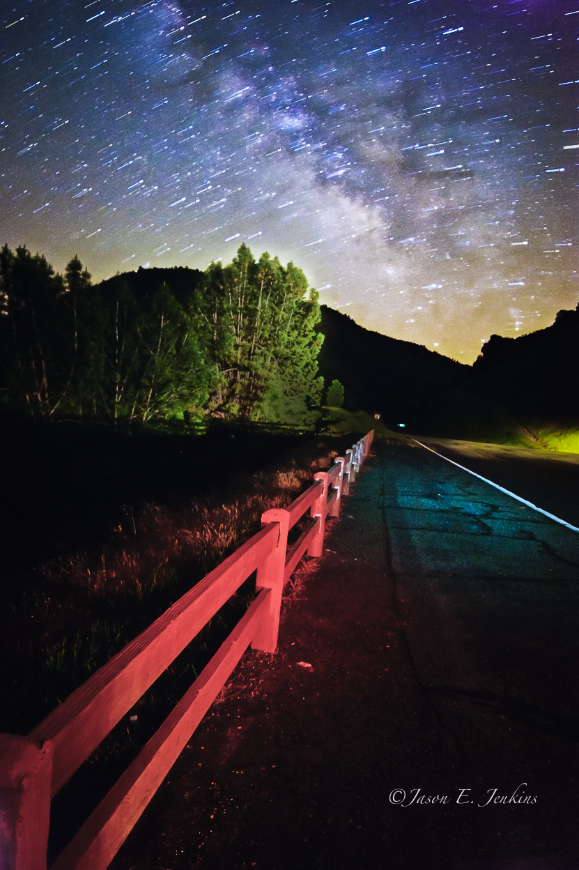
"Galactic Kaleidoscope"

Best When Unexpected
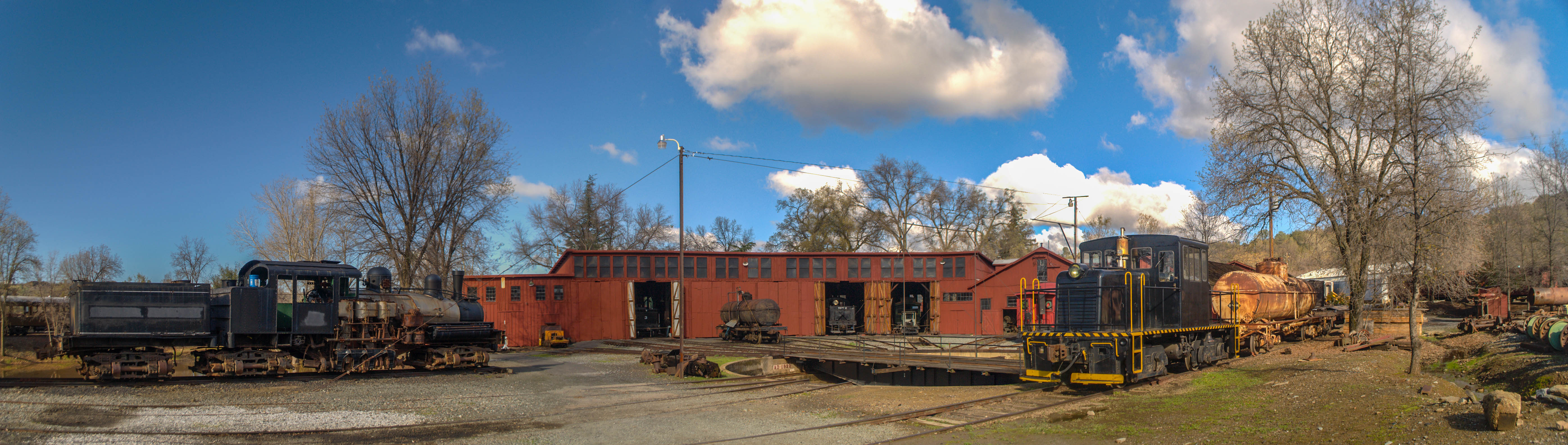
Sierra Railway Roundhouse (Panorama)
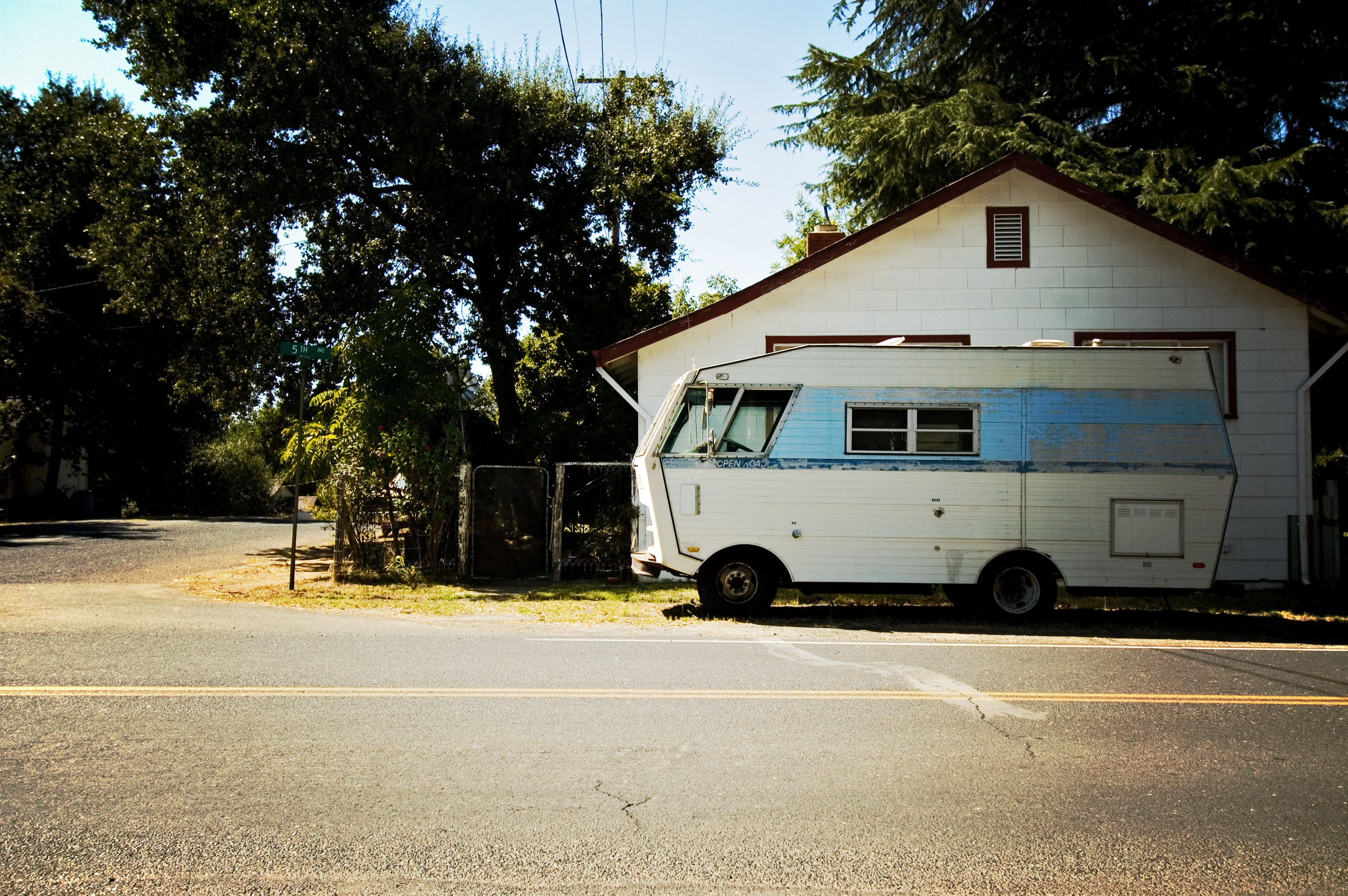
RV in Jamestowm

View from the new Priest Grade Road to the Old Priest Grade Road in California
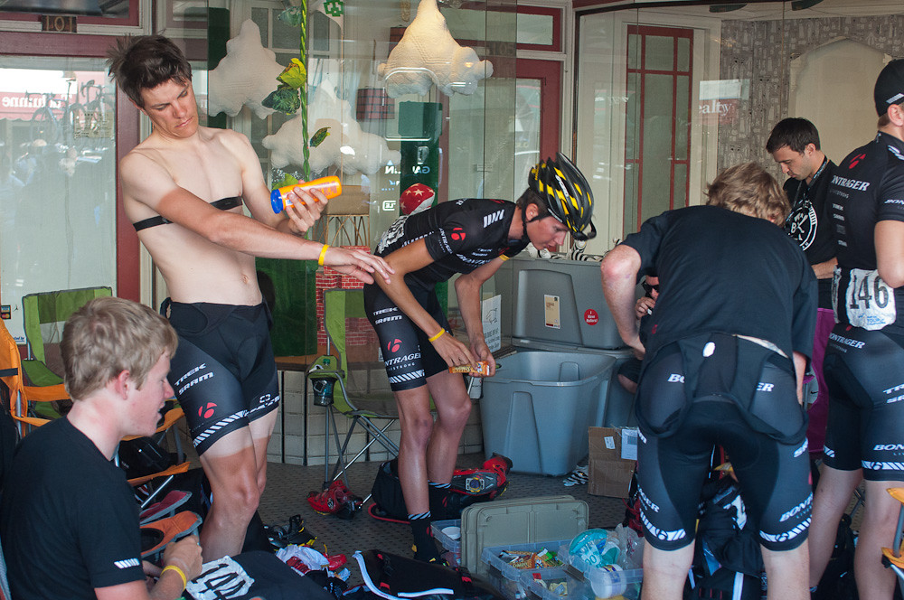
Bontrager Livestrong race preparation

The Poppies Have Arrived!
Trip to Yosemite 024

Room 112

Lake Views

Trip to Yosemite 032
A Room with a view.
Office View
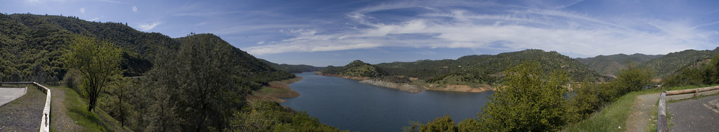
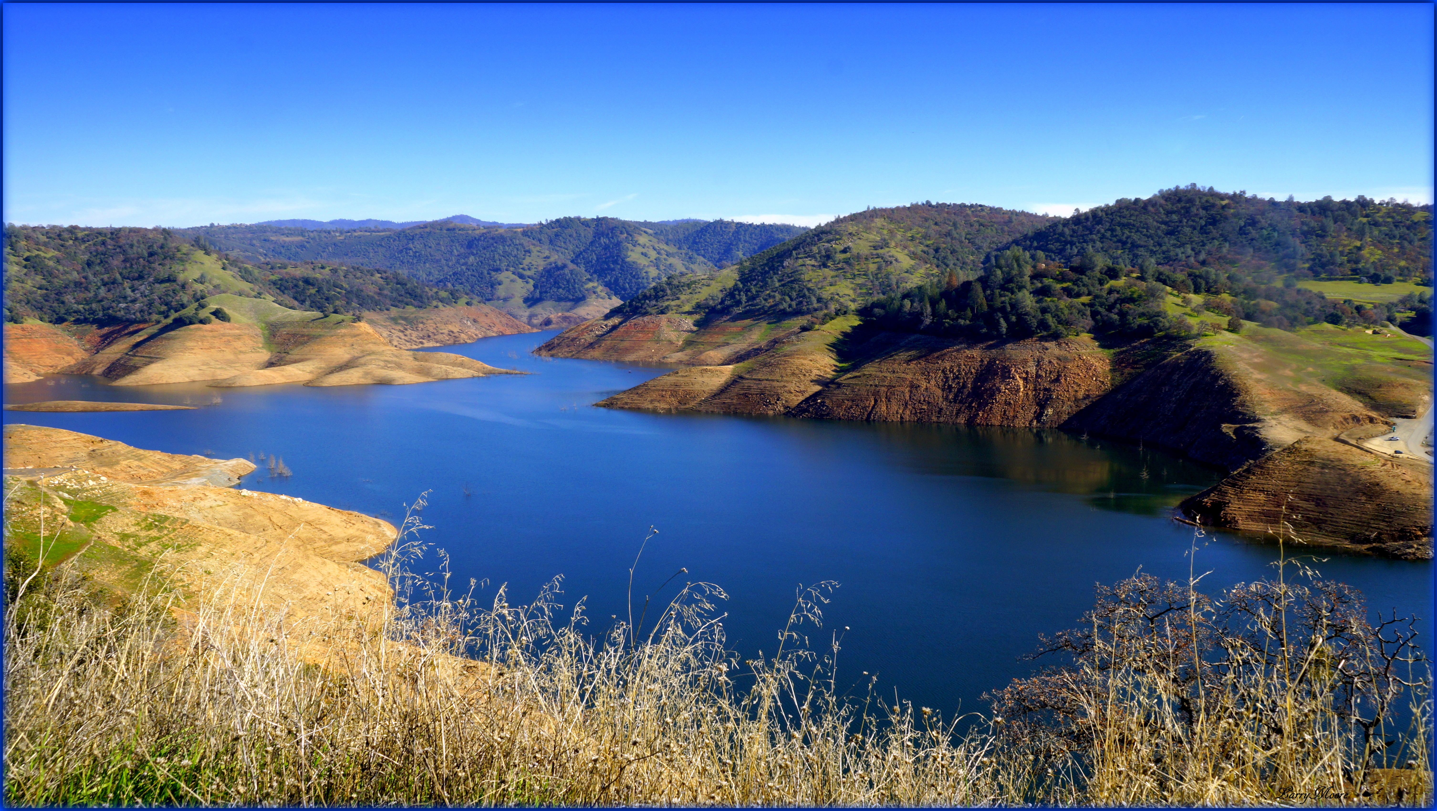
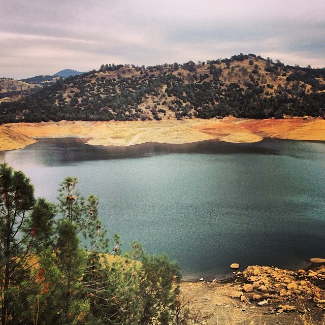
Don Pedro Reservoir
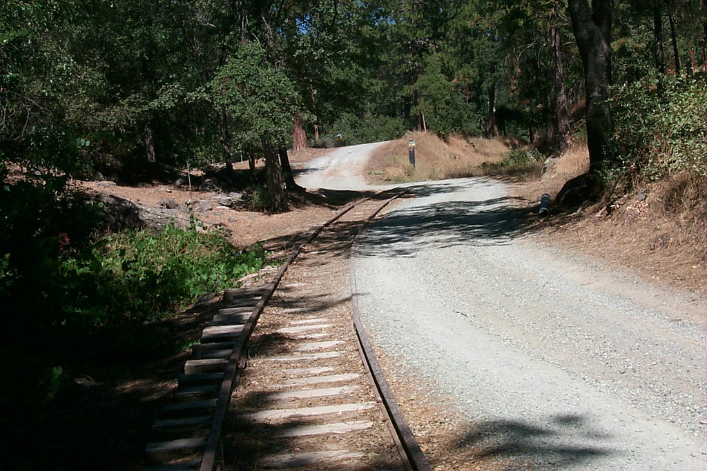
View along the trackbed
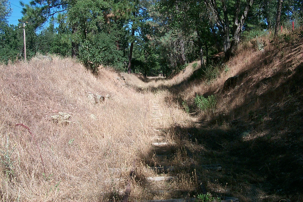
View along the trackbed
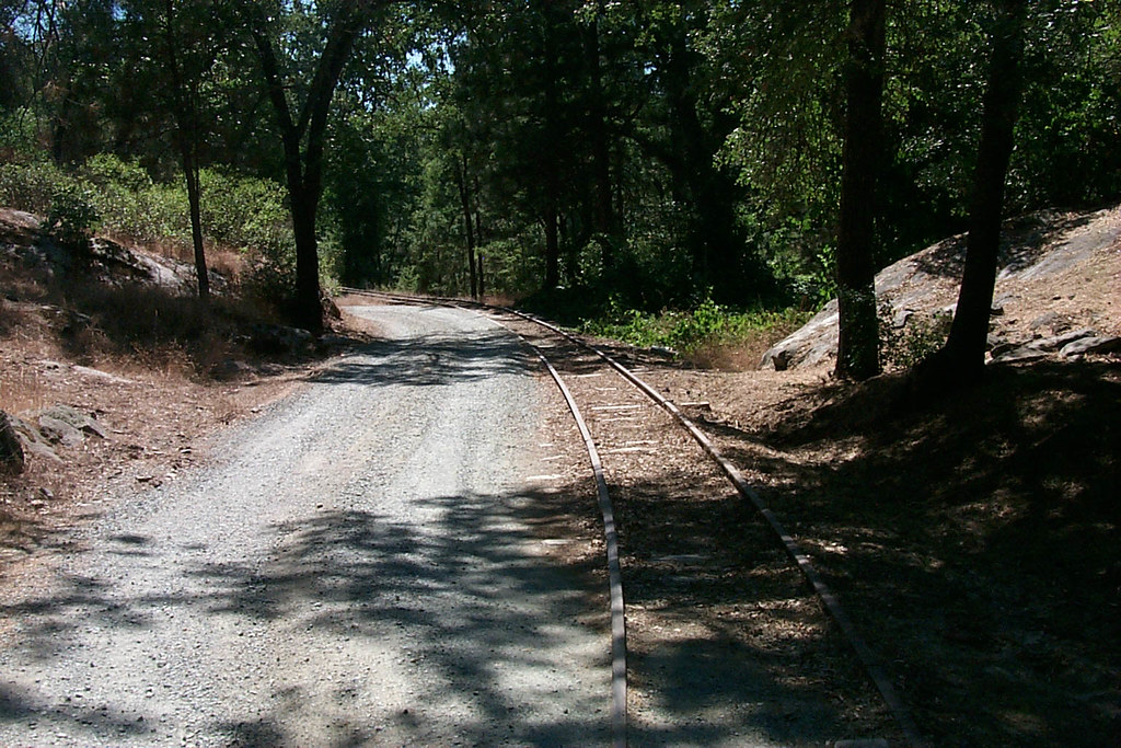
View along the trackbed
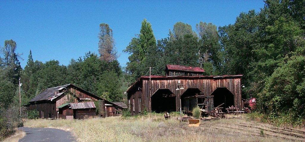
The shops from the south
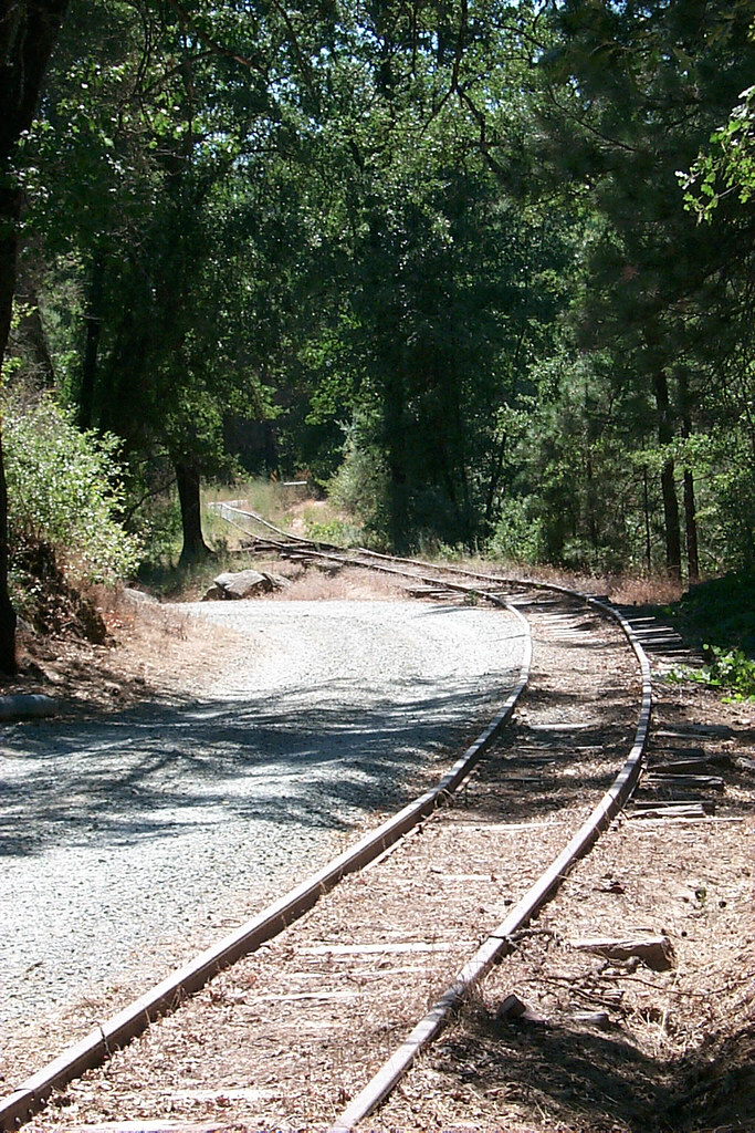
View along the trackbed

If only in b&w

Lake Views
California Retreet
Last man standing
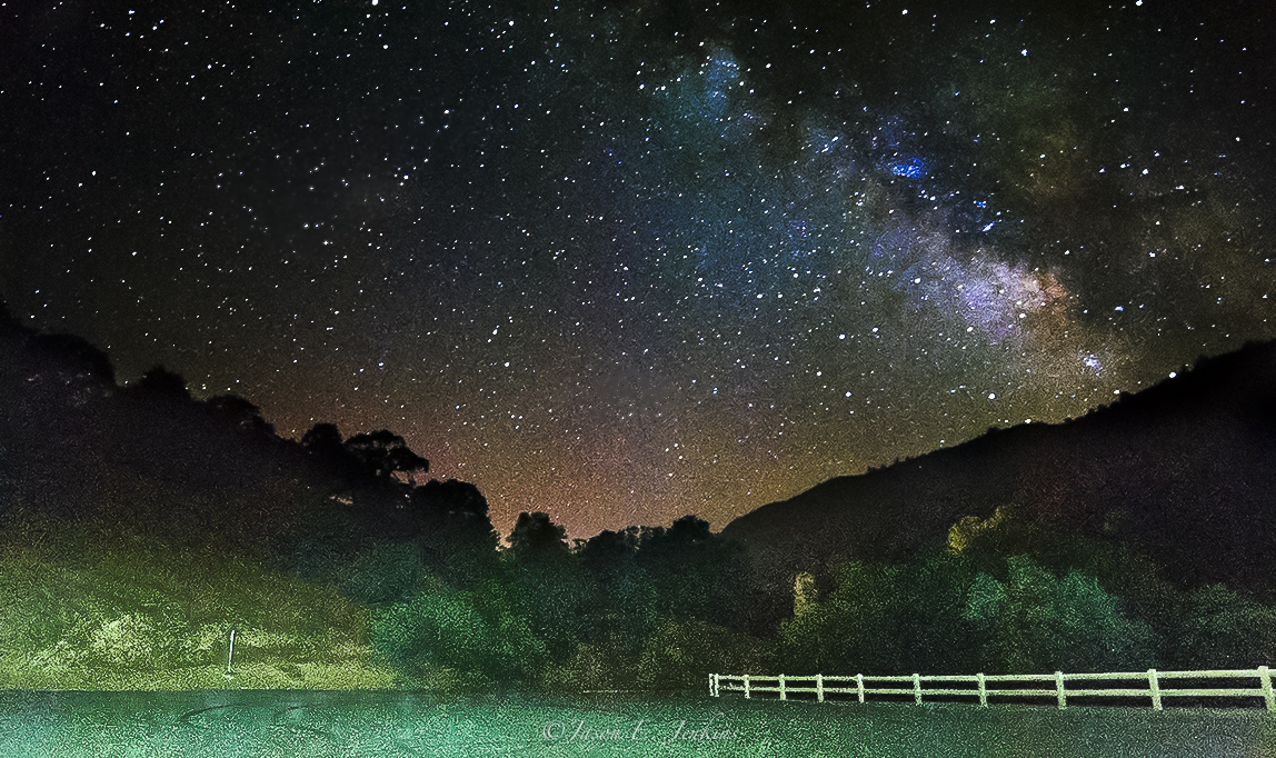
night vista
Lake Don Pedro
New Melones Lake
New Melones Near the Parrots Ferry Bridge

And Then Came The Wind - Highway 49 Bridge Across New Melones Reservoir - Sierra Nevada Mountains, California

Good Tuesday Morning! #morning #rural #bluesky #cloudporn #trees #green
Out for a walk in my hood. #meadow #pasture #rural #grass #tree #green #blue
#lake #roadtrip
#yosemite #roadtrip #usa

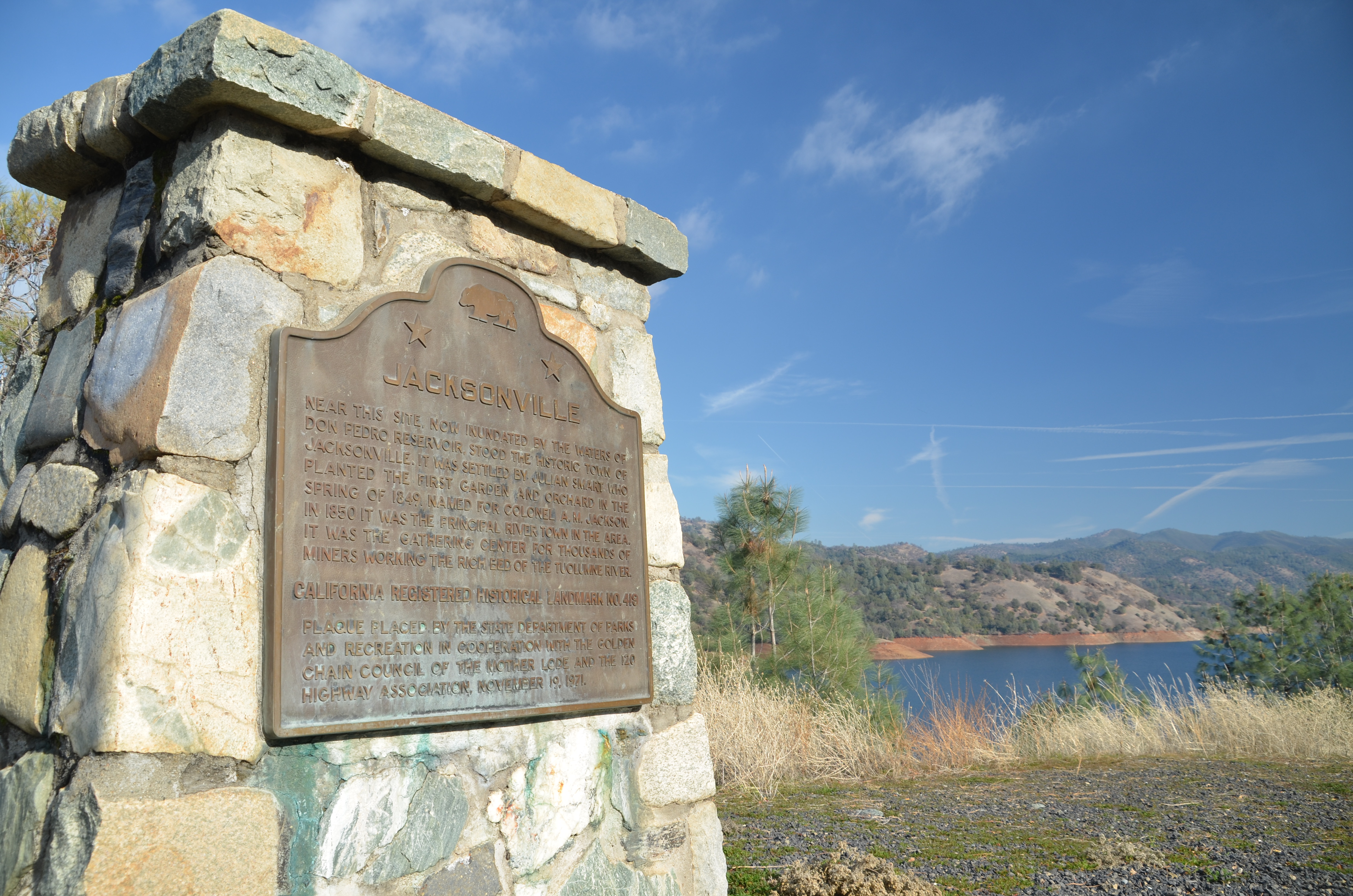
Former Site of Jacksonville, CA
California highway
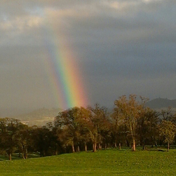
A Rainbow for you.
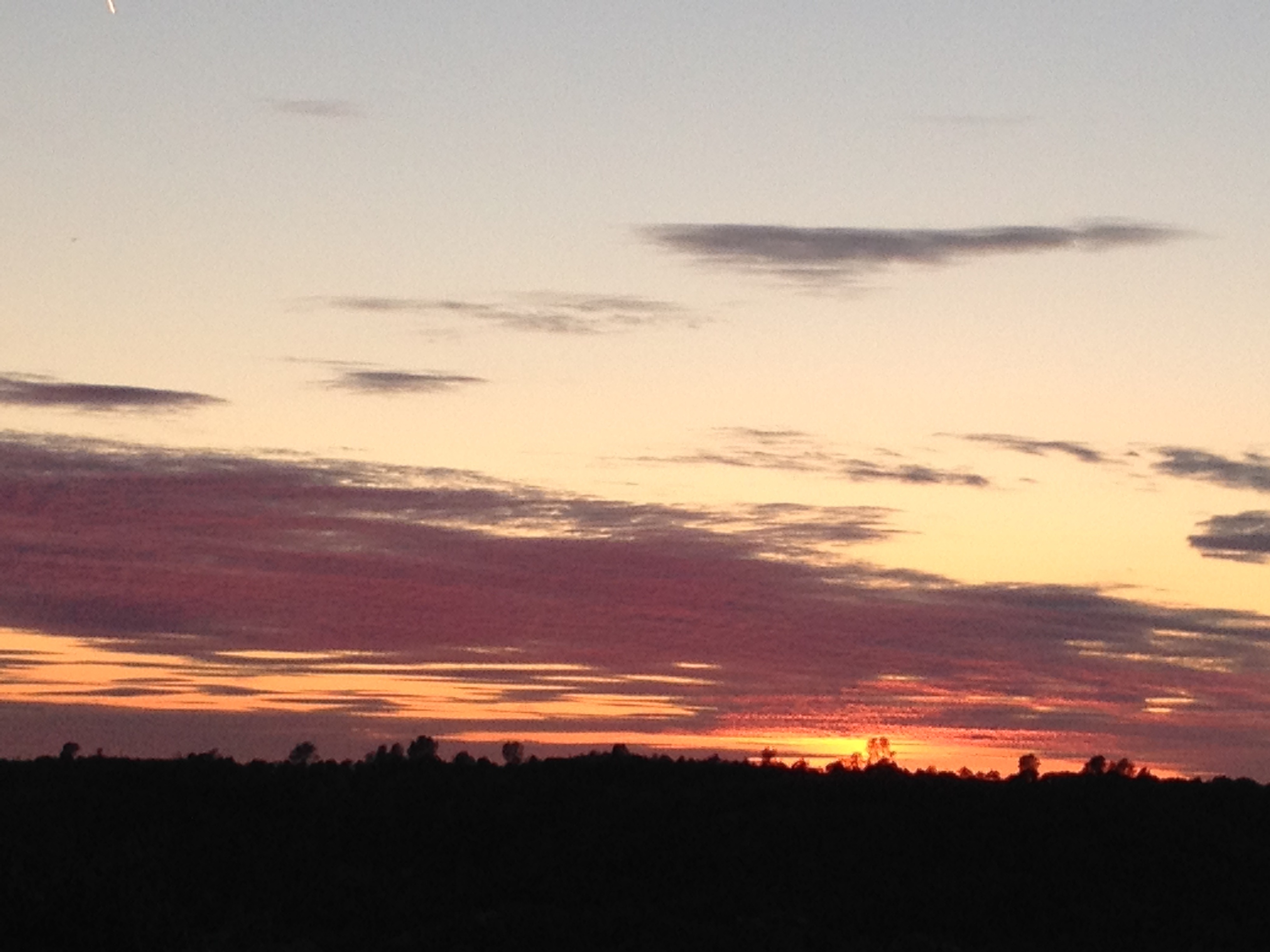
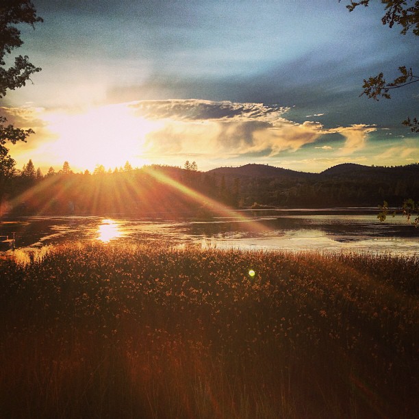
Sunset from Marilyn's
Upper New Melones Lake at Very Low Water

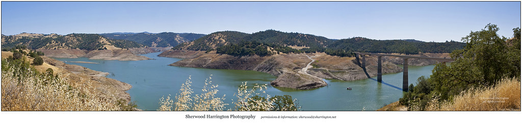
Don Pedro Reservoir Panorama

20090405_Gold Wall_0391
Topographic Map of Kelly Loop, Sonora, CA, USA
Find elevation by address:

Places near Kelly Loop, Sonora, CA, USA:
18330 Wards Ferry Rd
18885 Nugget Blvd
18586 Olov Rd
Sierra Stone Inc
Standard Rd, Sonora, CA, USA
Standard
Standard Road
13627 Kincaid Flat Rd
17210 Wards Ferry Rd
17917 Lime Kiln Rd
17976 Lime Kiln Rd
17884 Lime Rock Dr
18078 Rob-ric Rd
18633 Vista Dr
18610 Vista Dr
18568 Vista Dr
18713 Vista Dr
Soulsbyville Rd, Sonora, CA, USA
Outlook Dr, Jamestown, CA, USA
11100 Circle Dr
Recent Searches:
- Elevation of Corso Fratelli Cairoli, 35, Macerata MC, Italy
- Elevation of Tallevast Rd, Sarasota, FL, USA
- Elevation of 4th St E, Sonoma, CA, USA
- Elevation of Black Hollow Rd, Pennsdale, PA, USA
- Elevation of Oakland Ave, Williamsport, PA, USA
- Elevation of Pedrógão Grande, Portugal
- Elevation of Klee Dr, Martinsburg, WV, USA
- Elevation of Via Roma, Pieranica CR, Italy
- Elevation of Tavkvetili Mountain, Georgia
- Elevation of Hartfords Bluff Cir, Mt Pleasant, SC, USA