Elevation of Kay County, OK, USA
Location: United States > Oklahoma >
Longitude: -97.179026
Latitude: 36.8234478
Elevation: 315m / 1033feet
Barometric Pressure: 98KPa
Elevation Map:
Satellite Map:
Related Photos:

Oklahoma Plains

Poncan Theatre Interior View
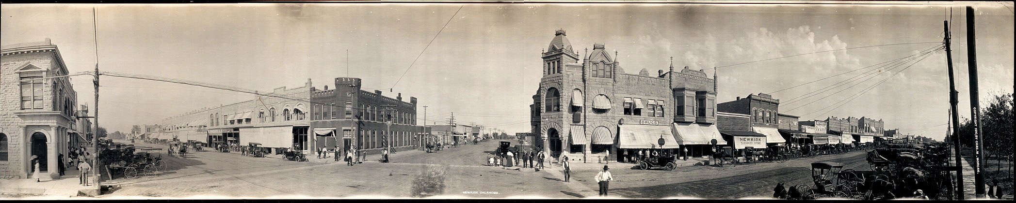
Newkirk, Okla., panorama photo 1910

My view this #snowy afternoon. #snow #LetItSnow #PoncaCity
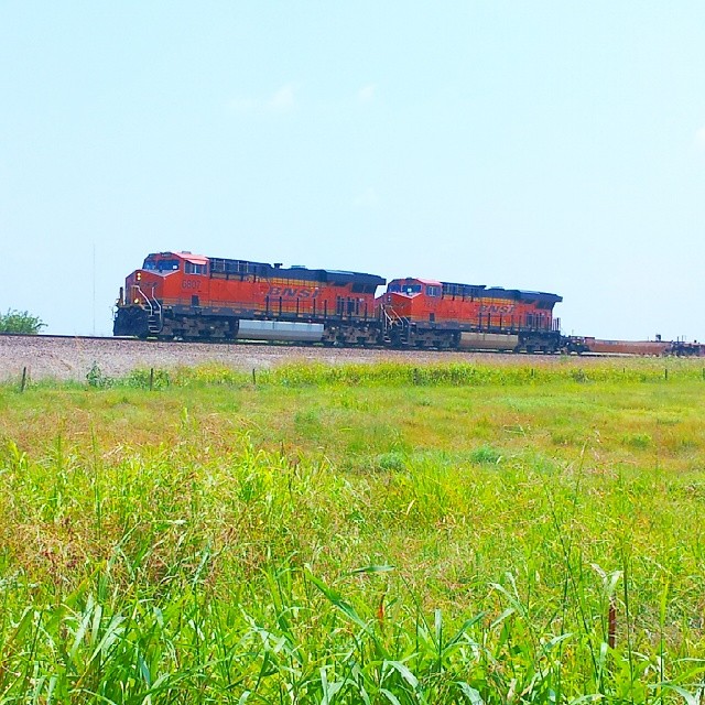
#BNSF 6807 north on the #RedRockSub at the KS/OK border.

Autumnal Horizon

We Are Golden

Wheat field - N. Oklahoma

Evening Sun on foliage after rain

The Beauty of Dying
Topographic Map of Kay County, OK, USA
Find elevation by address:

Places in Kay County, OK, USA:
Ponca City
Kaw City
Braman
Blackwell
Tonkawa
E Furguson Ave, Ponca City, OK, USA
Ponca City
S th St, Lamont, OK, USA
Newkirk
Places near Kay County, OK, USA:
Blackwell
US-, Blackwell, OK, USA
W Hartford Ave, Ponca City, OK, USA
2000 Hall Blvd
W Peckham Rd, Braman, OK, USA
Church St, Ponca City, OK, USA
Eastman National Bank
Shamrock Circle
Newkirk
Coon Creek Cove
1420 N Union St
Ponca City West Middle School
Ponca City
Ponca City
Pioneer Park
Completely Quilted Bernina Sewing Center
210 N 6th St
Delta On Shore Management
313 S 7th St
445 S 7th St
Recent Searches:
- Elevation of Corso Fratelli Cairoli, 35, Macerata MC, Italy
- Elevation of Tallevast Rd, Sarasota, FL, USA
- Elevation of 4th St E, Sonoma, CA, USA
- Elevation of Black Hollow Rd, Pennsdale, PA, USA
- Elevation of Oakland Ave, Williamsport, PA, USA
- Elevation of Pedrógão Grande, Portugal
- Elevation of Klee Dr, Martinsburg, WV, USA
- Elevation of Via Roma, Pieranica CR, Italy
- Elevation of Tavkvetili Mountain, Georgia
- Elevation of Hartfords Bluff Cir, Mt Pleasant, SC, USA