Elevation of Kane Branch Ln, Eastview, KY, USA
Location: United States > Kentucky > Hardin County > Eastview >
Longitude: -86.170397
Latitude: 37.6370135
Elevation: 239m / 784feet
Barometric Pressure: 98KPa
Elevation Map:
Satellite Map:
Related Photos:

PAL LCL2, Eastview, KY

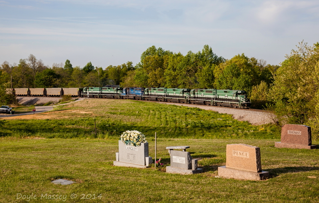
White Mills Bridge

PAL LG4, Stephensburg, KY

Enjoying this beautiful day!

March 31, 2016

Last bite of the Kentucky Pie from Glendale Whistle Stop. We had takeout catfish sandwich and pie.
Fog on the Bluegrass Parkway in Kentucky. Taken in 2011. #photoart #artsy #travel #visitkentucky #kytourism

March 2016
PAL 2110 at Summit, KY
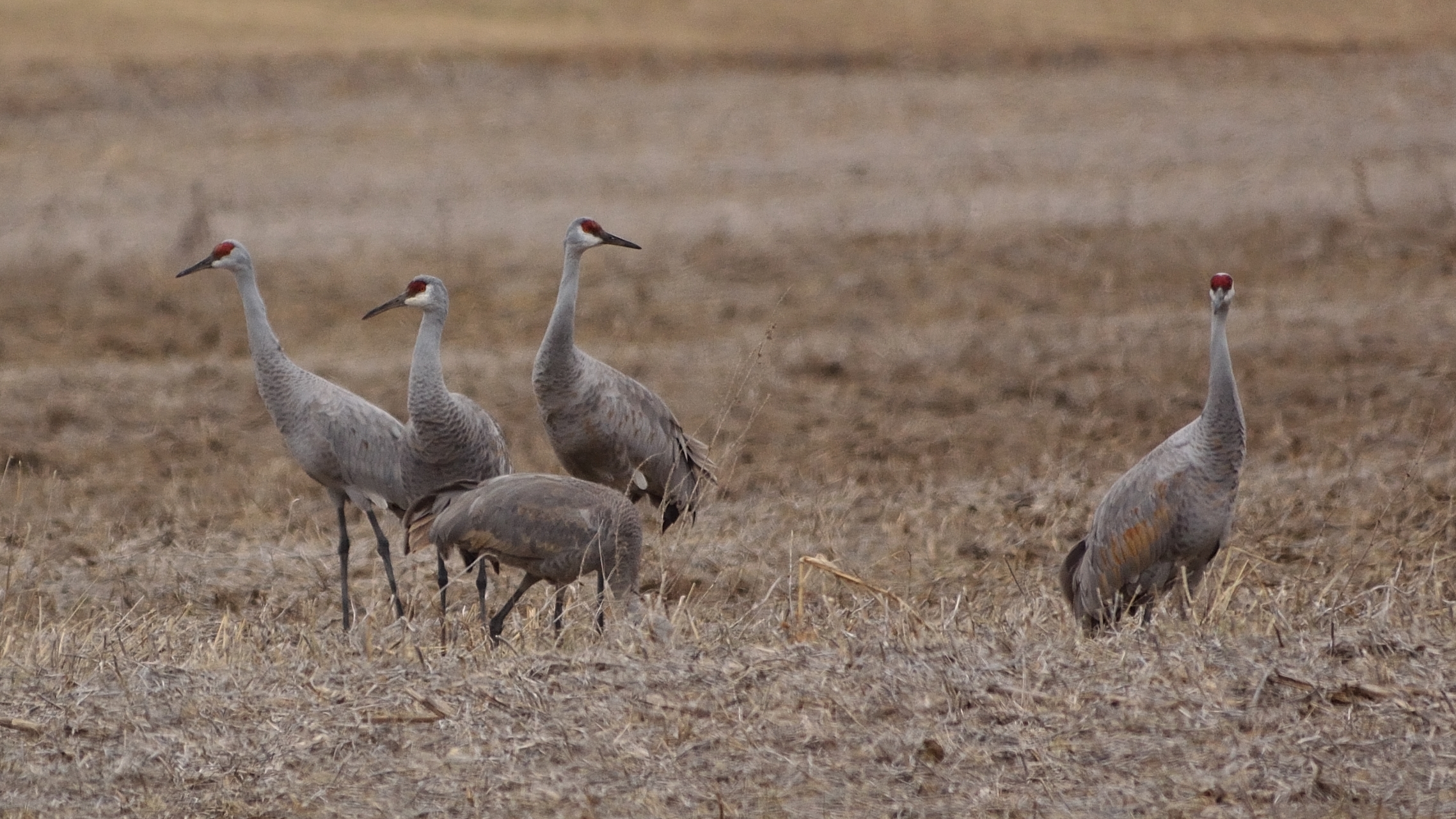
Sandhill Cranes

PAL MWL, Summit, KY

PAL LG4, Summit, KY

PAL LSX1, Summit, KY
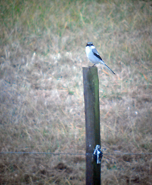
Loggerhead Shrike 1-12-2013 by Tom Becker

PAL PRX1, Eastview, KY

PAL LCL2, Eastview, KY

PAL LSX1, Big Clifty, KY

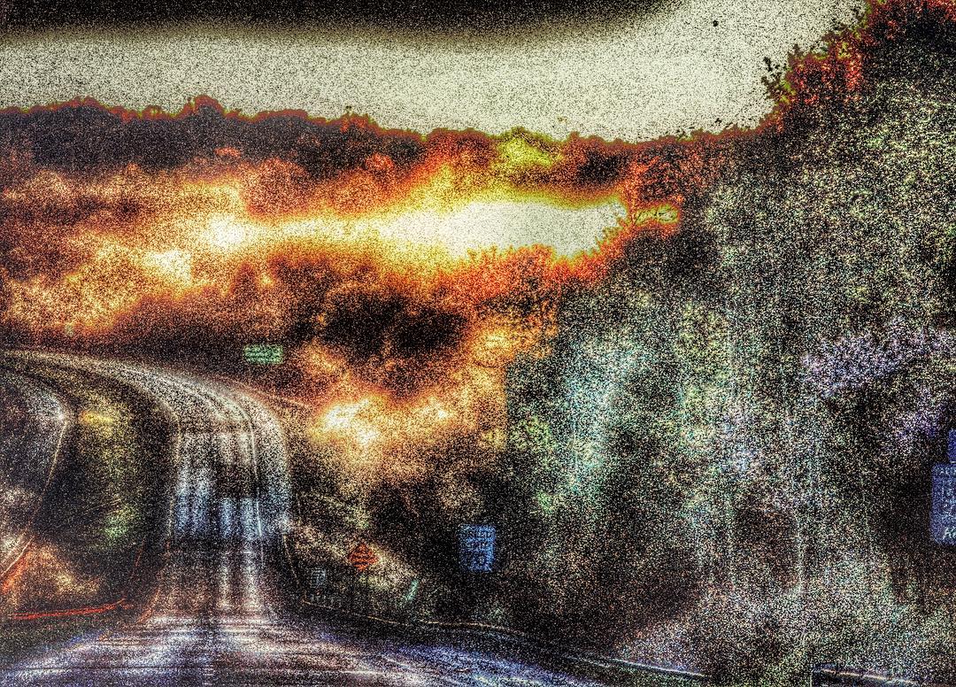
The Morning Sun

PAL LCL2, Big Clifty, KY

PAL LCL2, Eastview, KY

PAL LCL2, Big Clifty, KY

PAL LSX1, Summit, KY
Topographic Map of Kane Branch Ln, Eastview, KY, USA
Find elevation by address:

Places near Kane Branch Ln, Eastview, KY, USA:
21485 Sonora Hardin Springs Rd
Salt River Rd, Leitchfield, KY, USA
116 Redfern Ln
Big Clifty
Big Clifty, KY, USA
Summit
Eastview
KY-86, Custer, KY, USA
Custer
Leitchfield Rd, Eastview, KY, USA
521 Nacke Pike Rd
Rineyville-Big Springs Rd, Rineyville, KY, USA
Clarkson
9067 Rineyville-big Springs Rd
Hardin County
3075 Shaw Creek Rd
3069 Shaw Creek Rd
2921 Shaw Creek Rd
Peonia Rd, Clarkson, KY, USA
KY-86, Irvington, KY, USA
Recent Searches:
- Elevation of Corso Fratelli Cairoli, 35, Macerata MC, Italy
- Elevation of Tallevast Rd, Sarasota, FL, USA
- Elevation of 4th St E, Sonoma, CA, USA
- Elevation of Black Hollow Rd, Pennsdale, PA, USA
- Elevation of Oakland Ave, Williamsport, PA, USA
- Elevation of Pedrógão Grande, Portugal
- Elevation of Klee Dr, Martinsburg, WV, USA
- Elevation of Via Roma, Pieranica CR, Italy
- Elevation of Tavkvetili Mountain, Georgia
- Elevation of Hartfords Bluff Cir, Mt Pleasant, SC, USA