Elevation of Peonia Rd, Clarkson, KY, USA
Location: United States > Kentucky > Grayson County > Clarkson >
Longitude: -86.225194
Latitude: 37.4652178
Elevation: 202m / 663feet
Barometric Pressure: 99KPa
Elevation Map:
Satellite Map:
Related Photos:
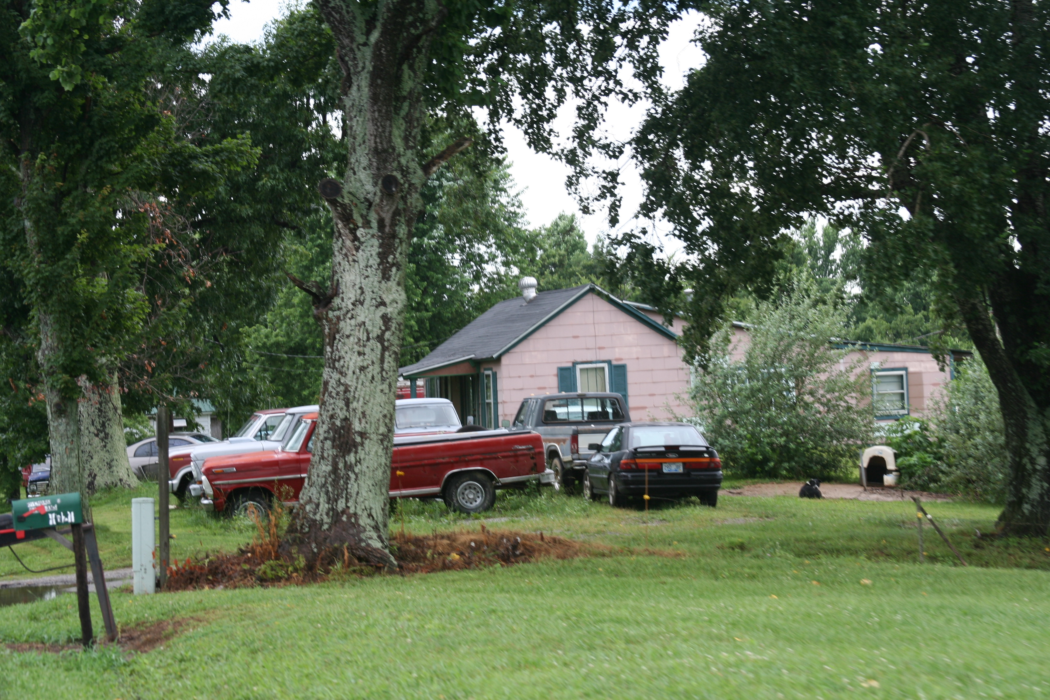
Side view of the house
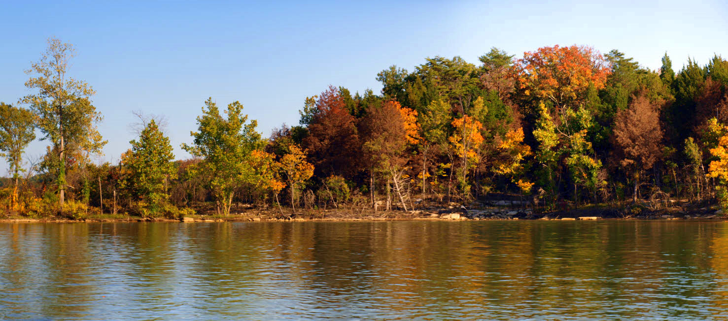
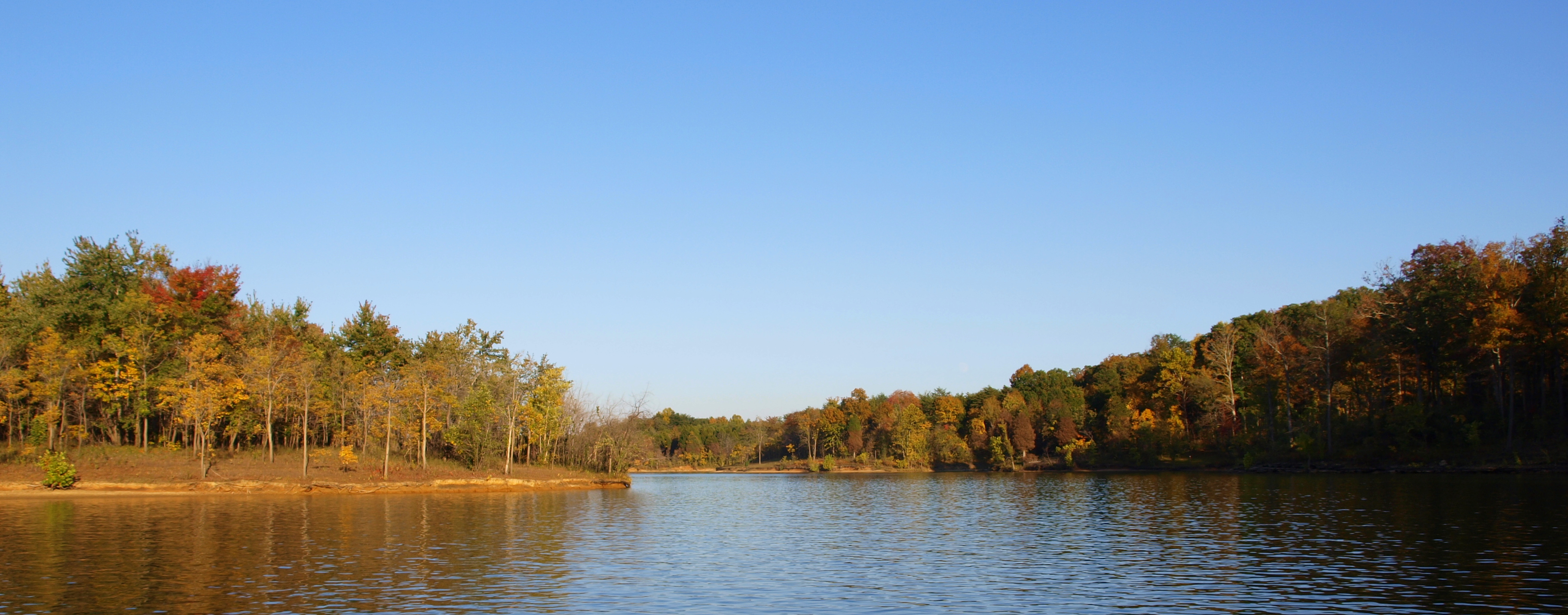
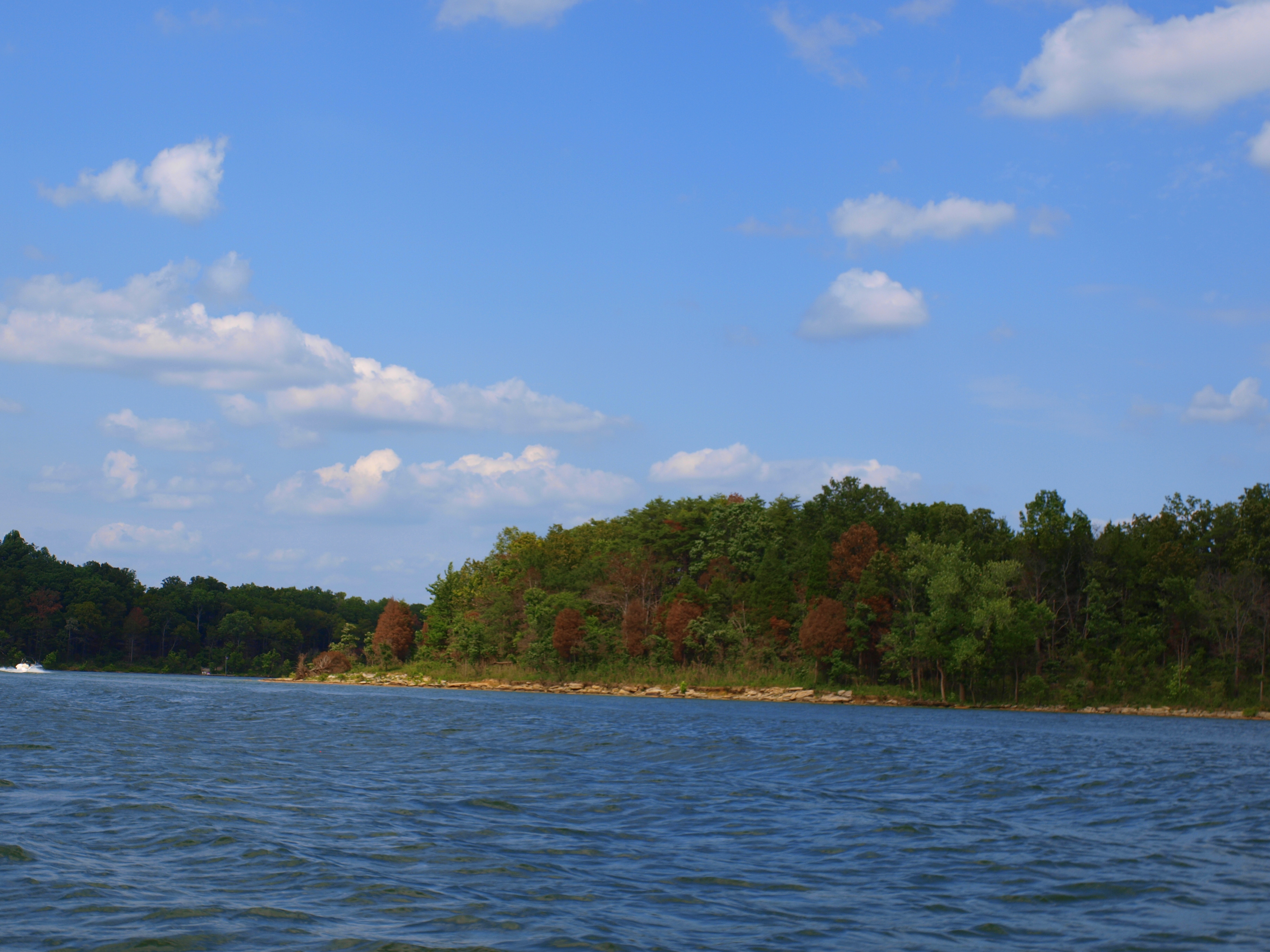
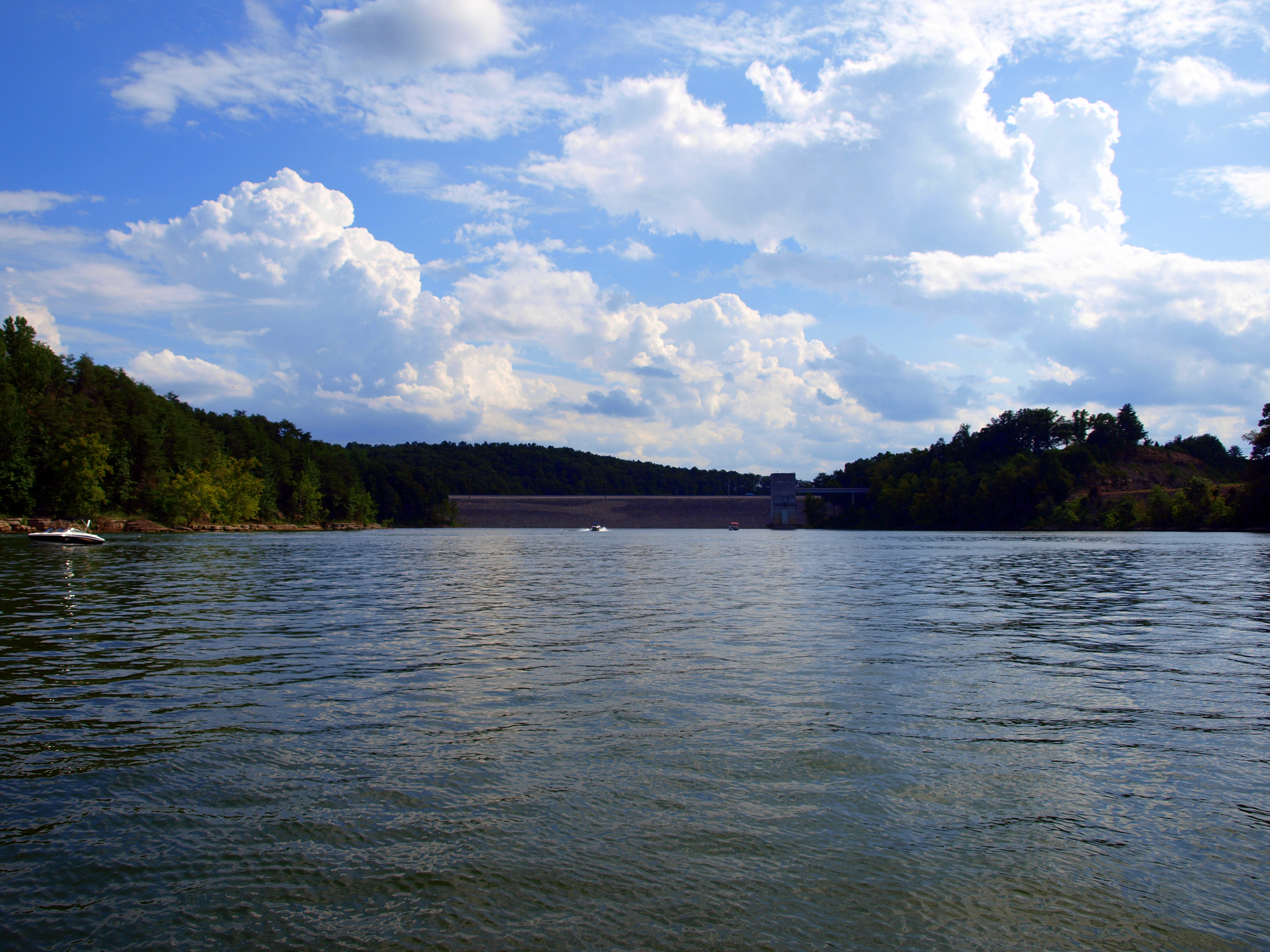
Nolin Lake Autumn 2011
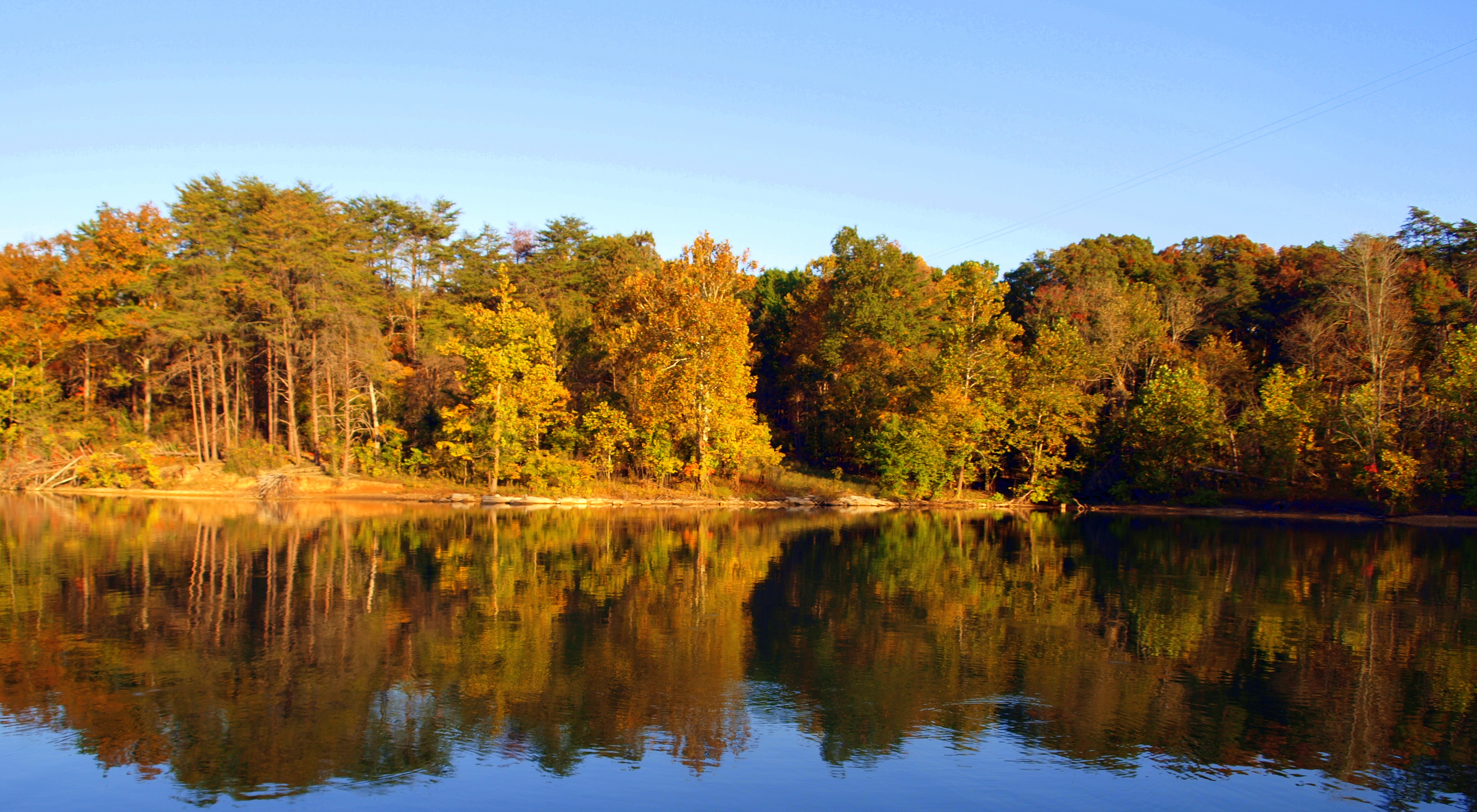
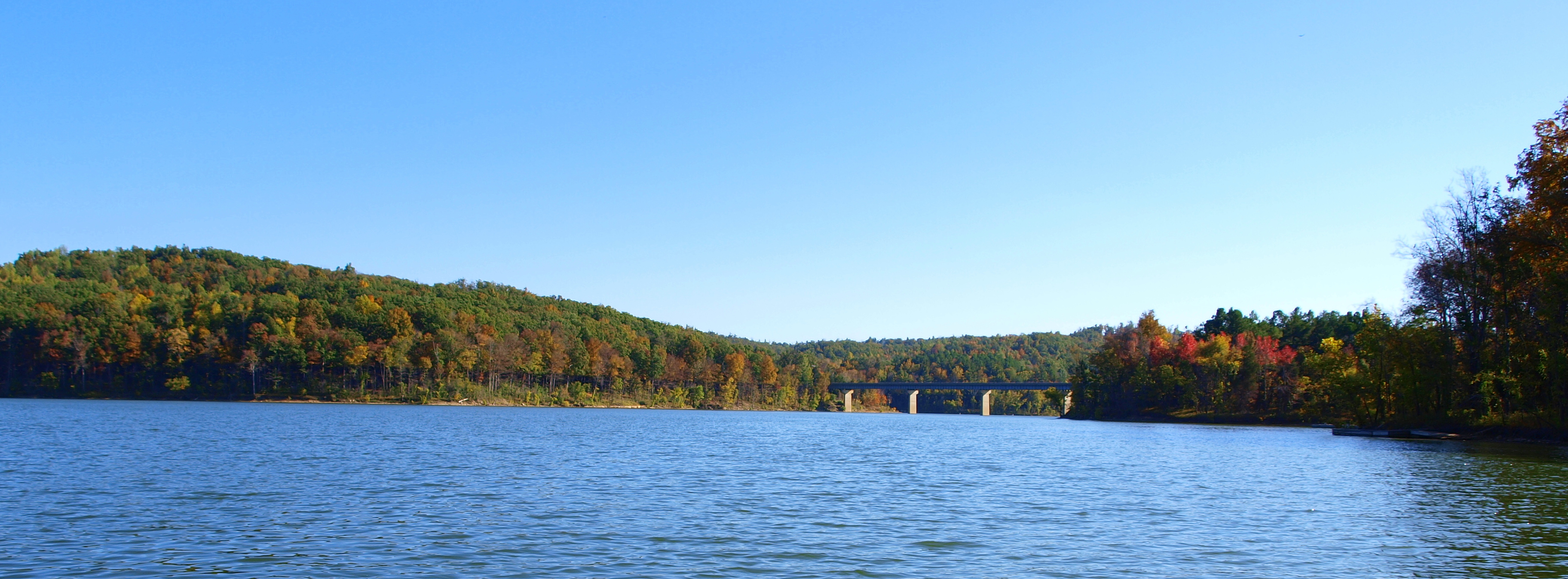
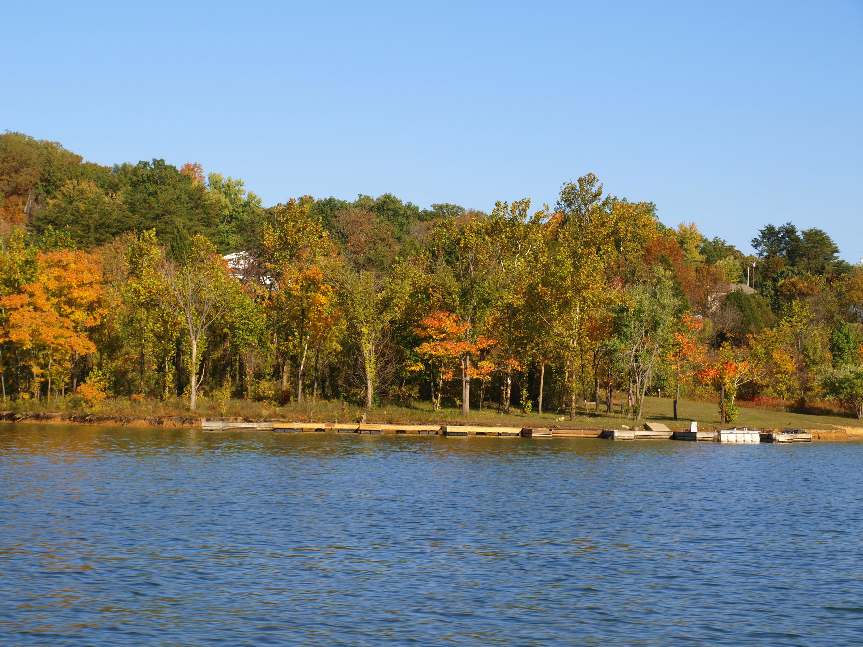
Nolin Lake Autumn 2011
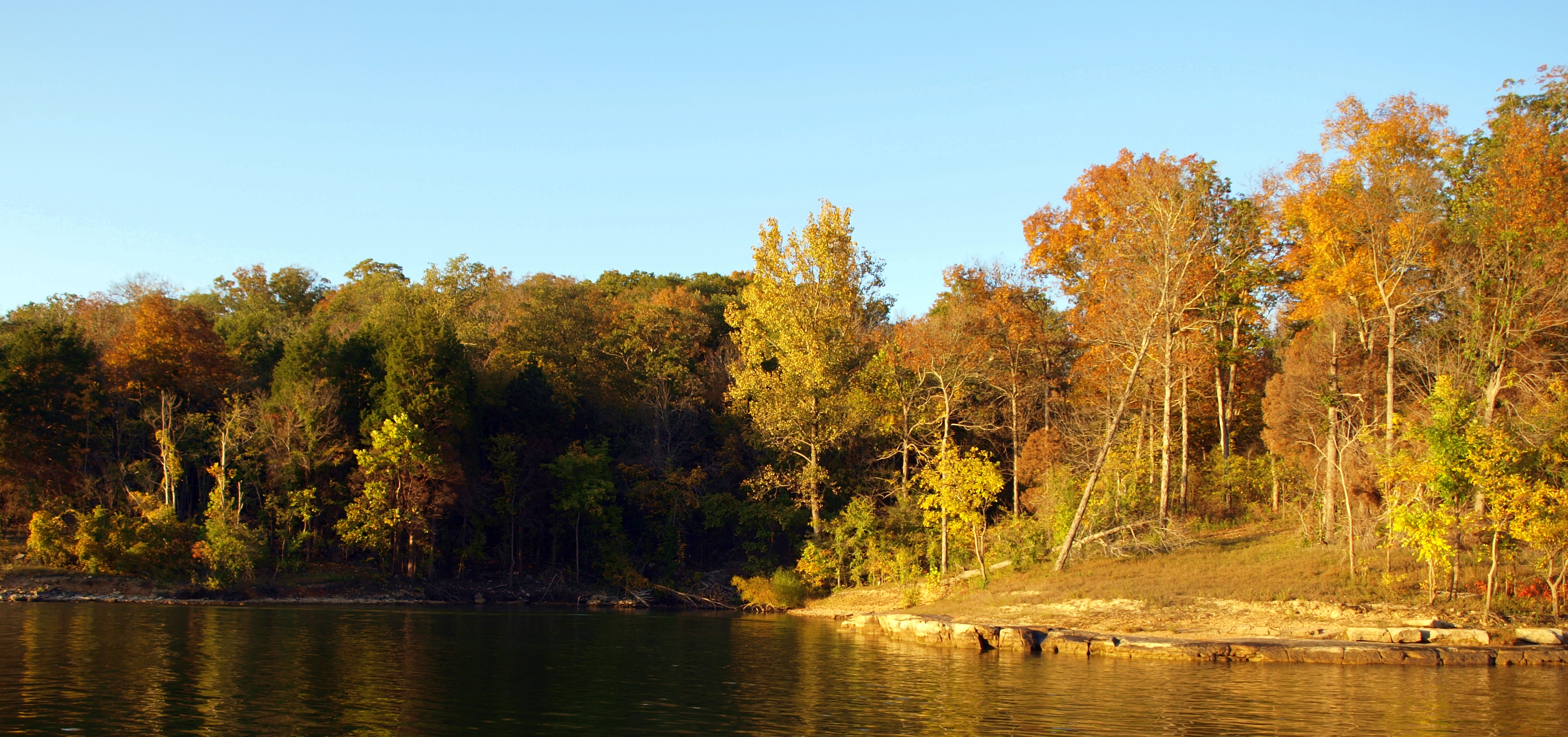
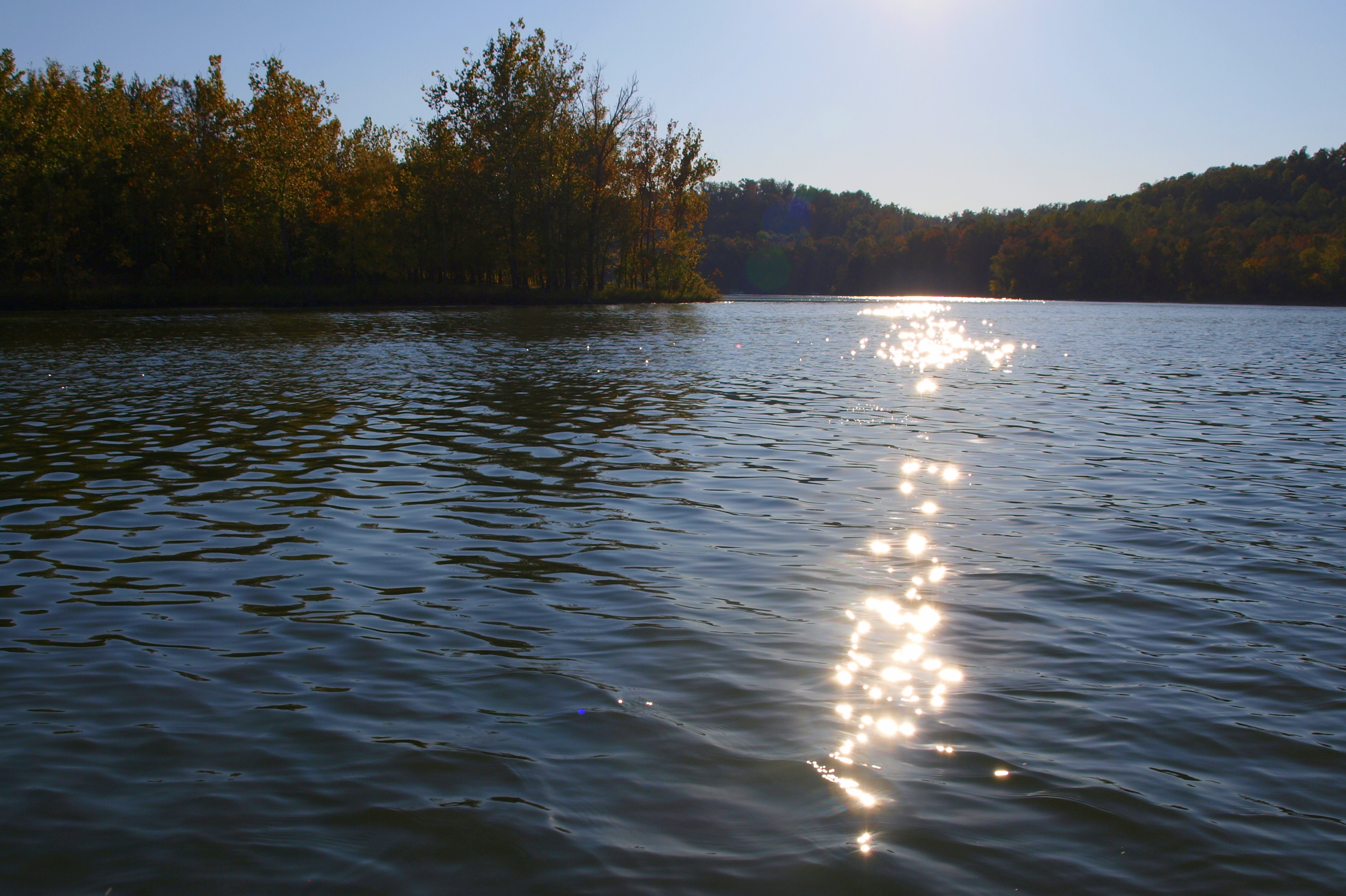
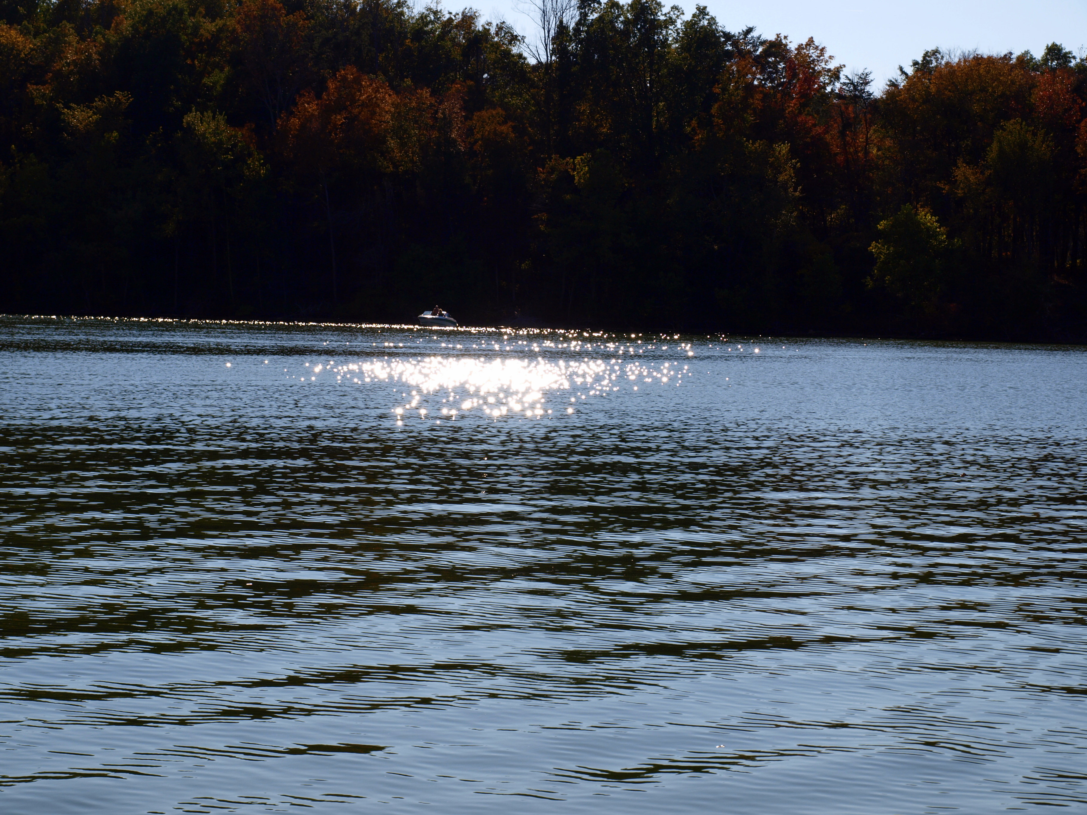
Nolin Lake Autumn 2011
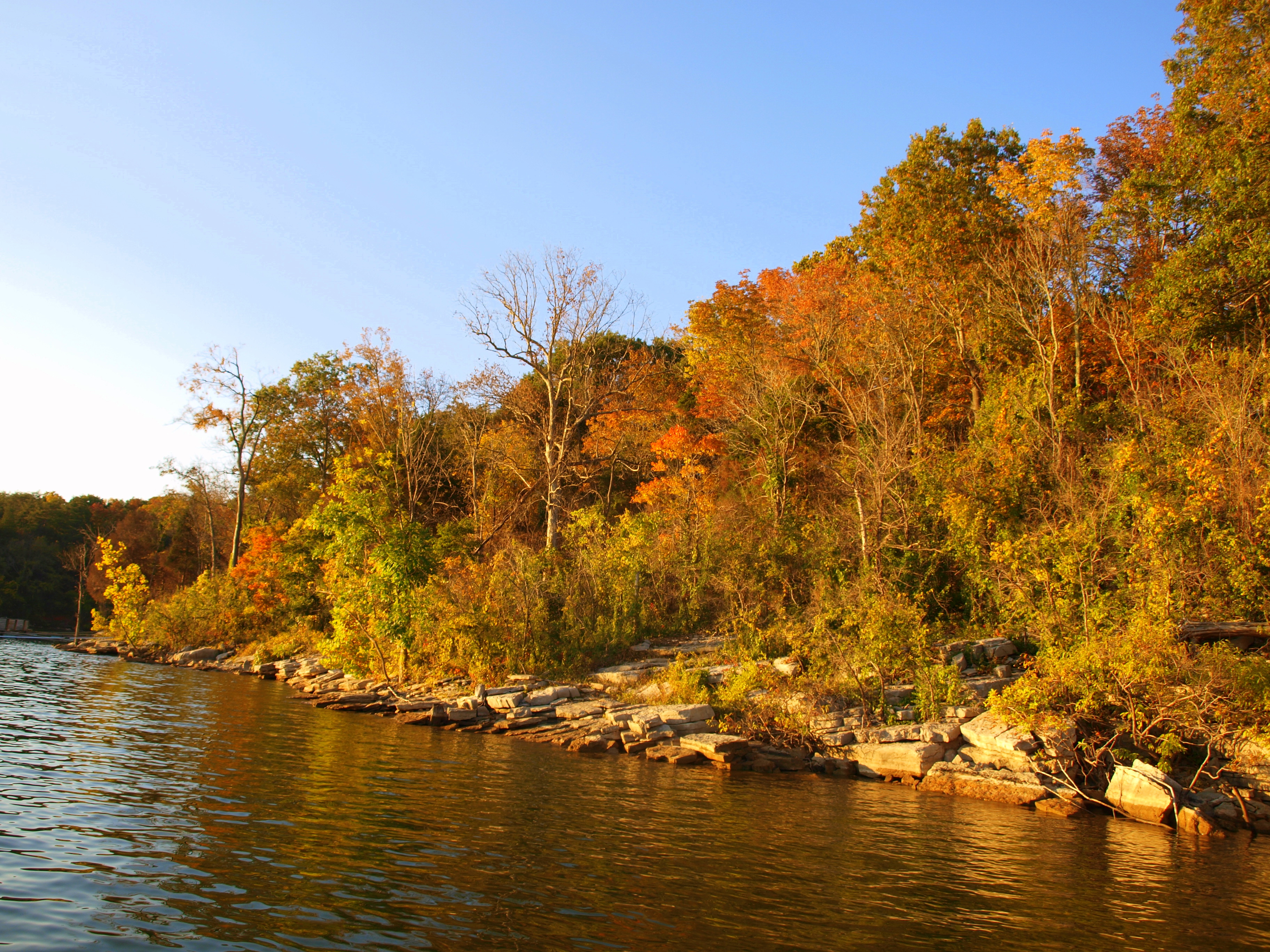
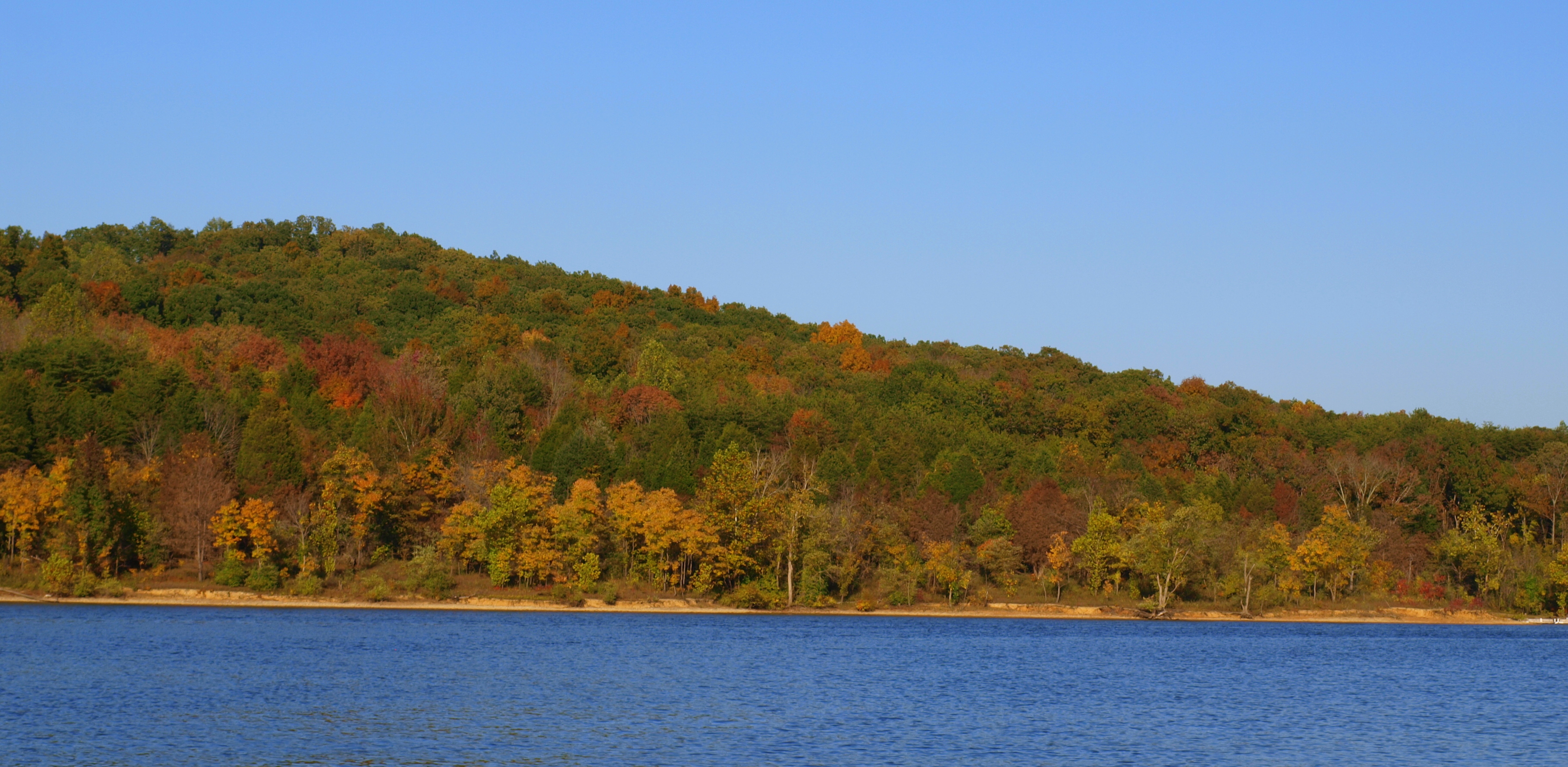
Nolin Lake Autumn 2011
Nolin Lake Autumn 2011
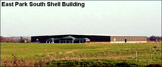
East Park South Shell Building Grayson KY 3
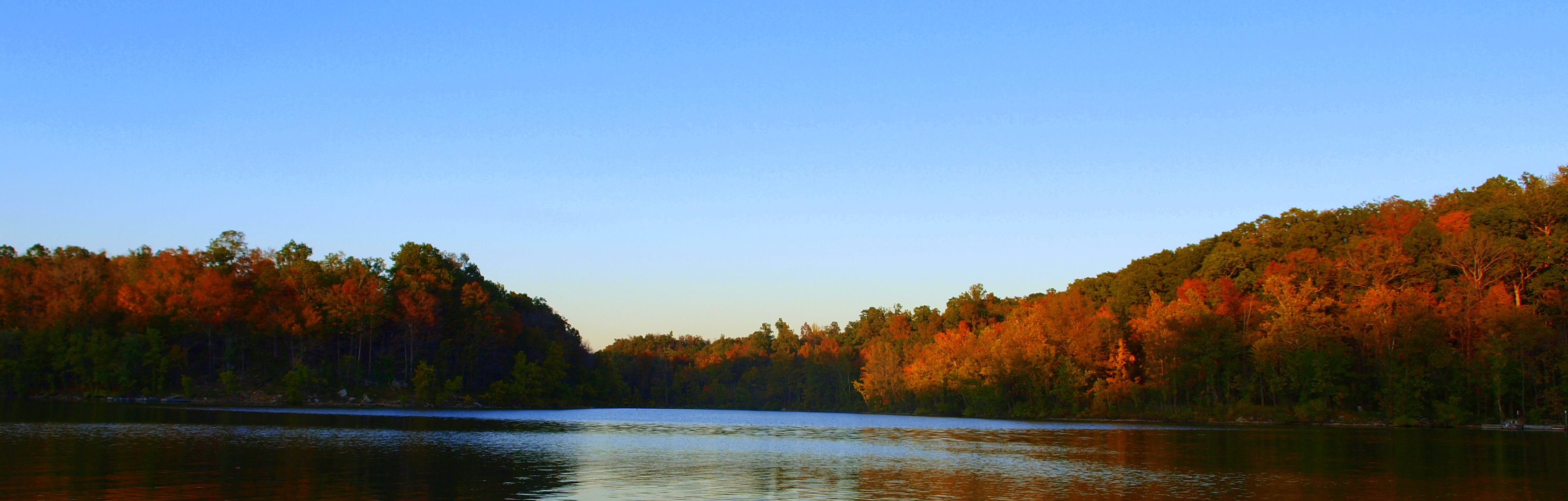
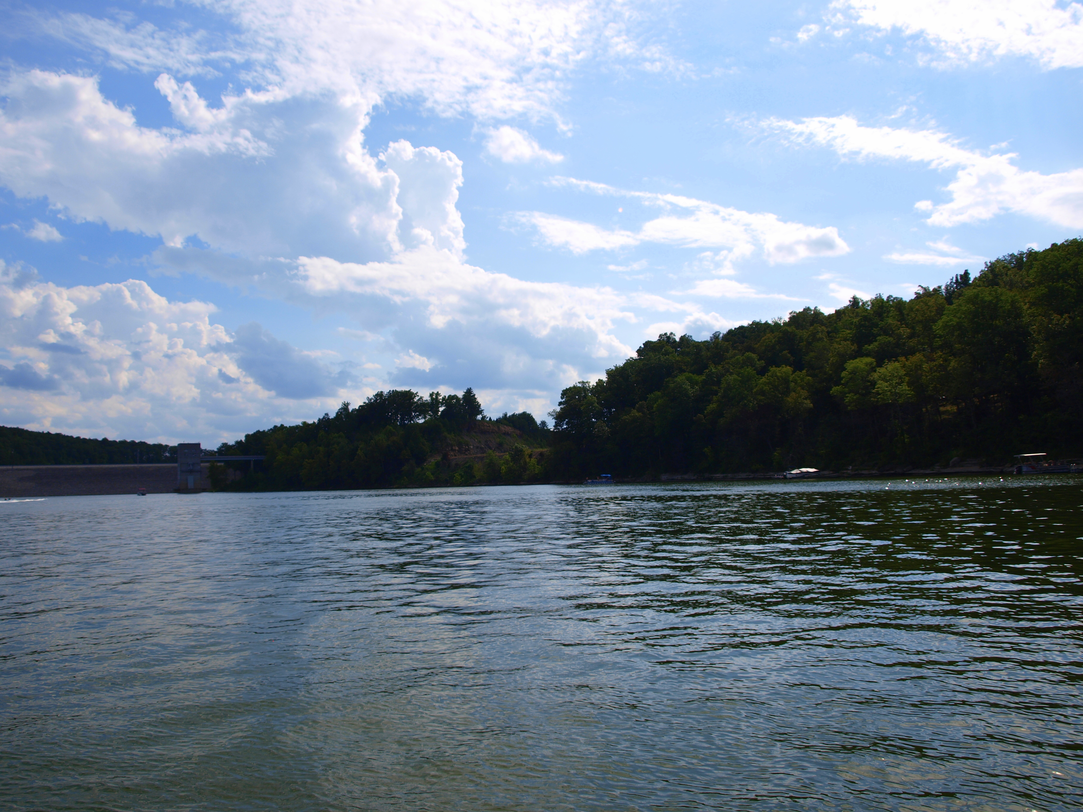
Nolin Lake Autumn 2011
Nolin Lake Autumn 2011
Nolin Lake Autumn 2011
Nolin Lake Autumn 2011

PAL LSX, Black Rock, KY
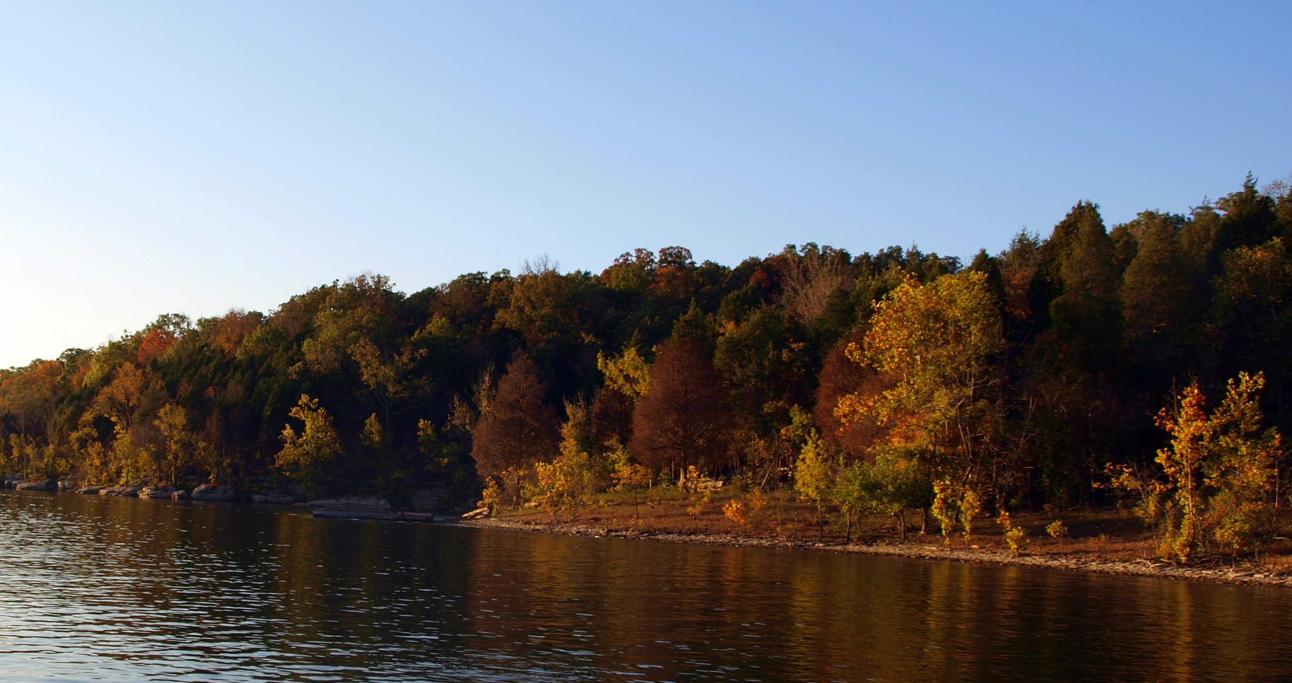
Nolin Lake Autumn 2011
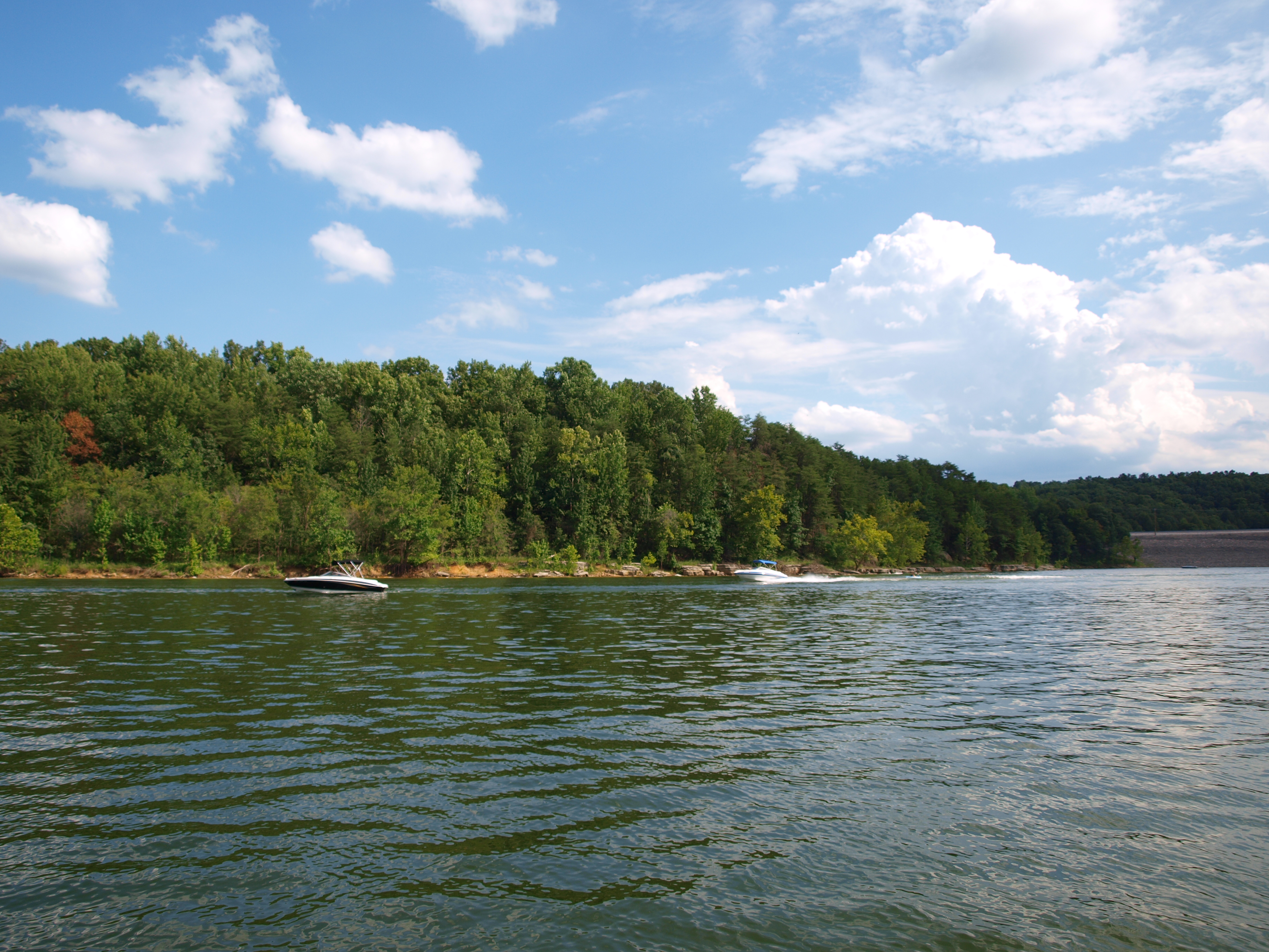
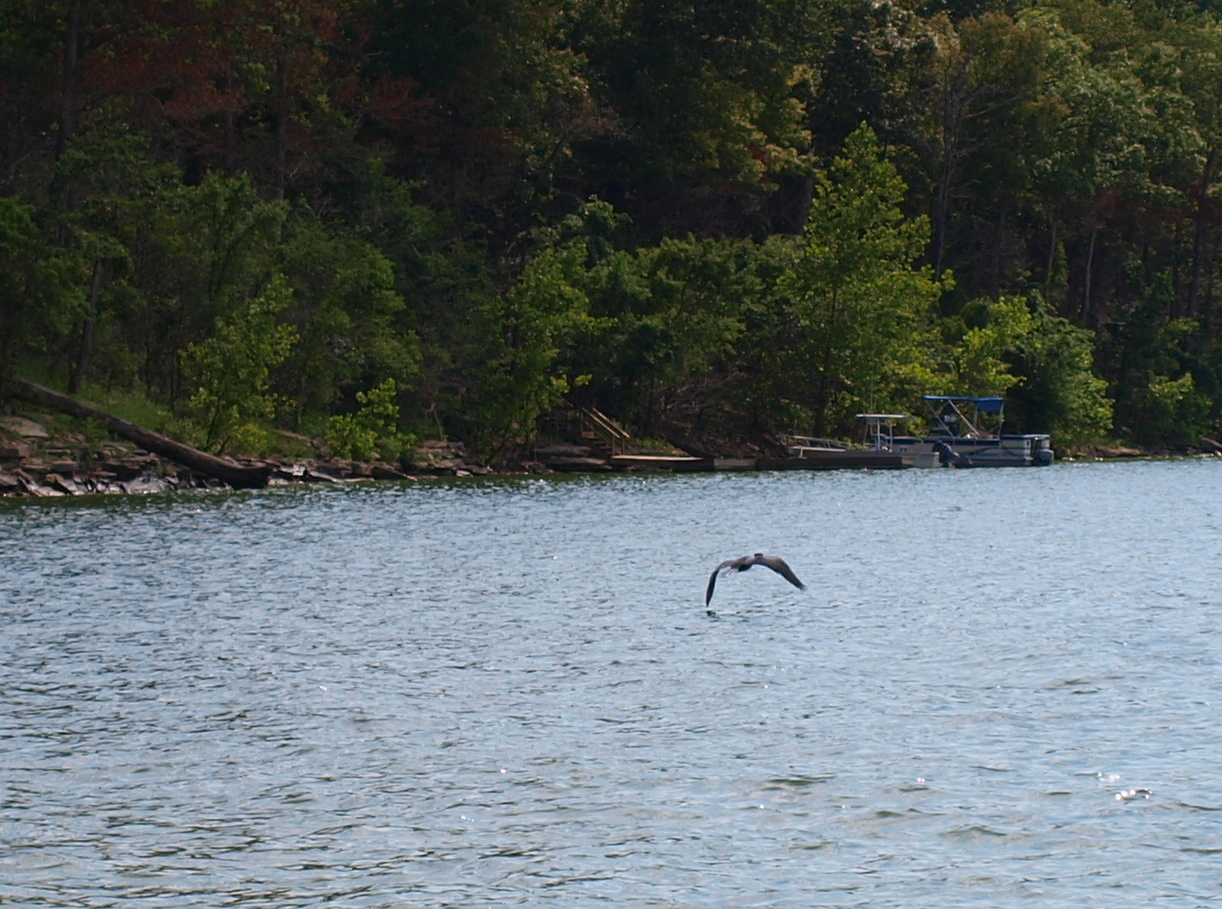
Nolin Lake Summer 2011
Nolin Lake Autumn 2011

Nolin Lake Summer 2011
Nolin Lake Autumn 2011

Nolin Lake Autumn 2011
Nolin Lake Summer 2011
Nolin Lake Summer 2011
Nolin Lake Summer 2011
Nolin Lake Summer 2011
Topographic Map of Peonia Rd, Clarkson, KY, USA
Find elevation by address:

Places near Peonia Rd, Clarkson, KY, USA:
Clarkson
Grayson Springs Rd, Clarkson, KY, USA
Leitchfield
510 Ky-259
510 Ky-259
403 W Walnut St
West Main Street
510 Wilson Dr
307 Fraim St
715 Sunbeam Rd
Salt River Rd, Leitchfield, KY, USA
Big Clifty
Big Clifty, KY, USA
Millerstown Rd, Clarkson, KY, USA
572 C Scott Rd
21485 Sonora Hardin Springs Rd
Grayson County
3075 Shaw Creek Rd
3069 Shaw Creek Rd
2921 Shaw Creek Rd
Recent Searches:
- Elevation of Corso Fratelli Cairoli, 35, Macerata MC, Italy
- Elevation of Tallevast Rd, Sarasota, FL, USA
- Elevation of 4th St E, Sonoma, CA, USA
- Elevation of Black Hollow Rd, Pennsdale, PA, USA
- Elevation of Oakland Ave, Williamsport, PA, USA
- Elevation of Pedrógão Grande, Portugal
- Elevation of Klee Dr, Martinsburg, WV, USA
- Elevation of Via Roma, Pieranica CR, Italy
- Elevation of Tavkvetili Mountain, Georgia
- Elevation of Hartfords Bluff Cir, Mt Pleasant, SC, USA