Elevation of Millerstown Rd, Clarkson, KY, USA
Location: United States > Kentucky > Grayson County > Clarkson >
Longitude: -86.104321
Latitude: 37.445201
Elevation: 234m / 768feet
Barometric Pressure: 99KPa
Elevation Map:
Satellite Map:
Related Photos:

Hay Field In The Morning Light..

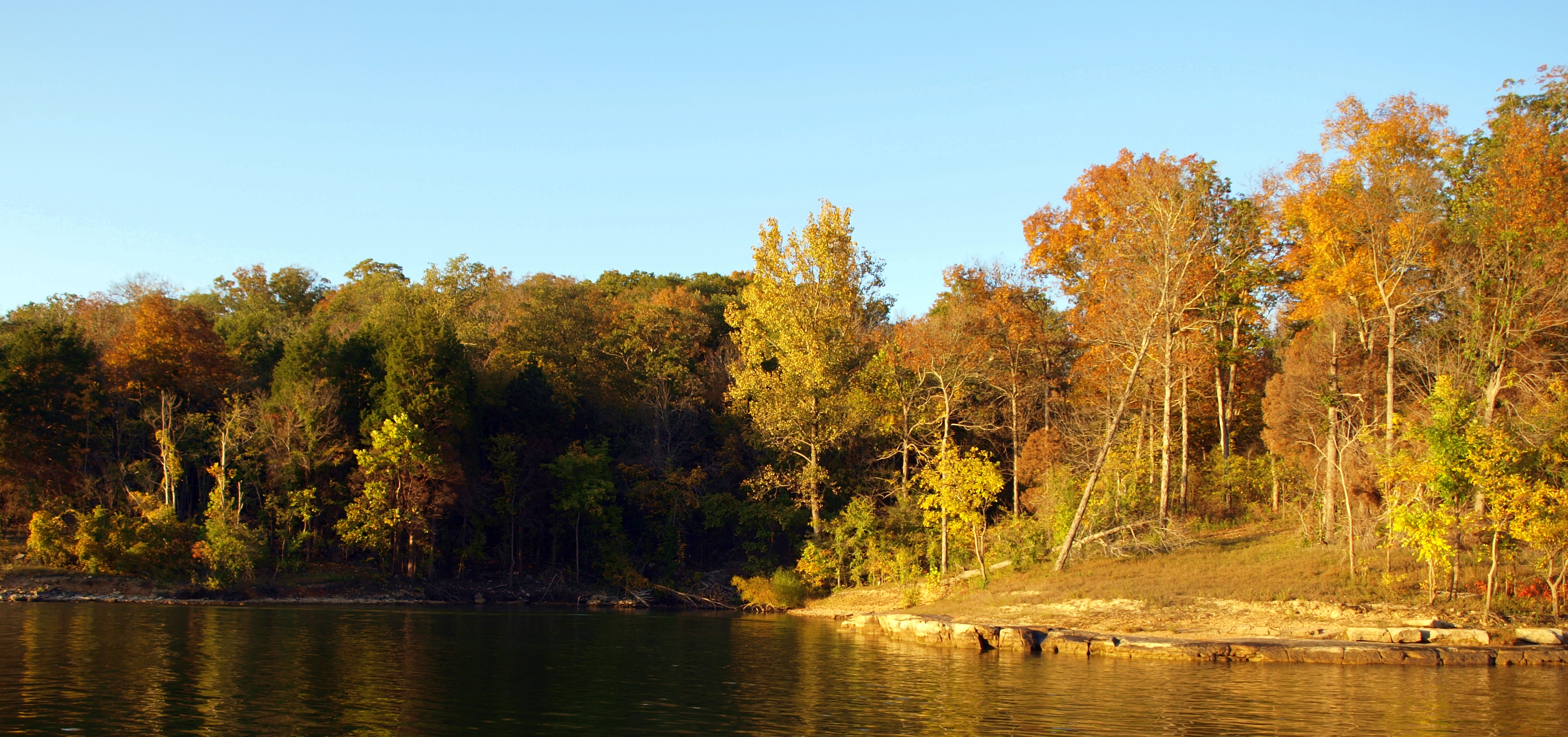
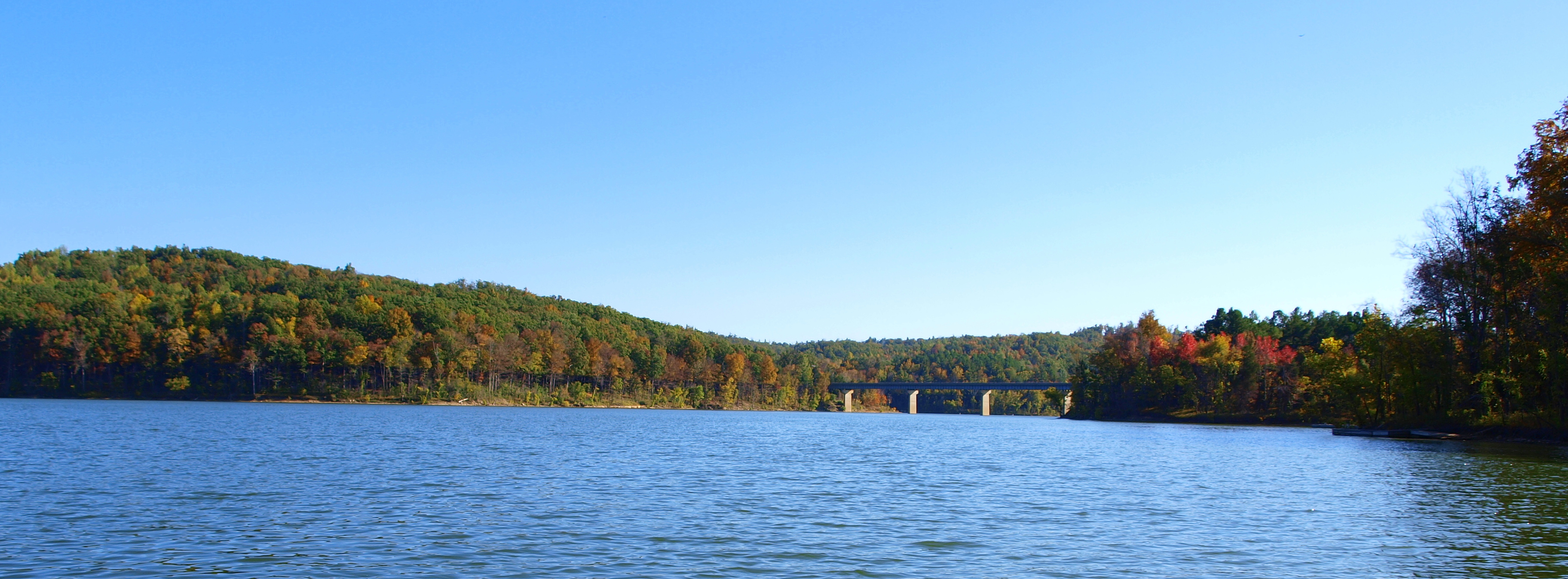
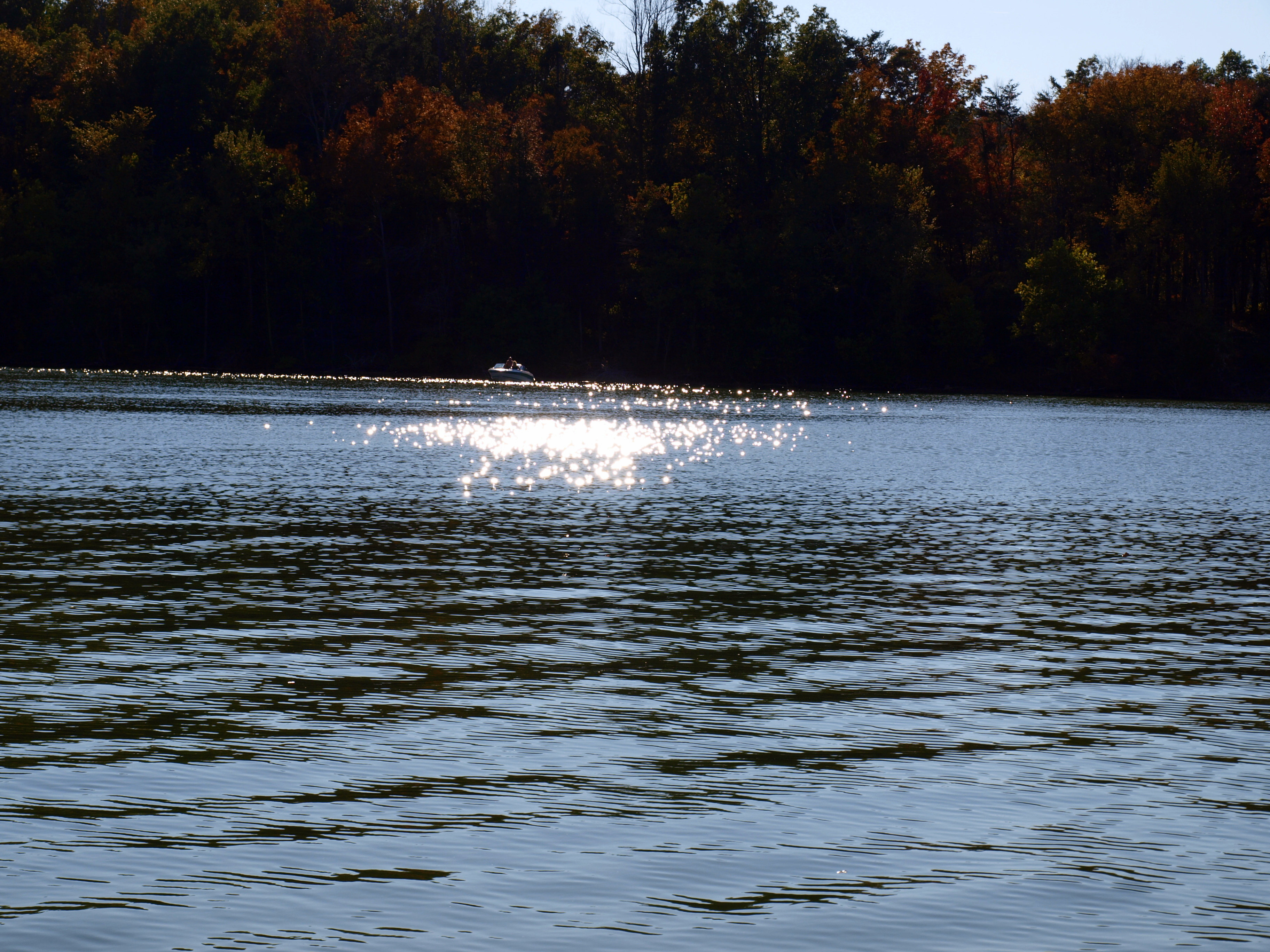
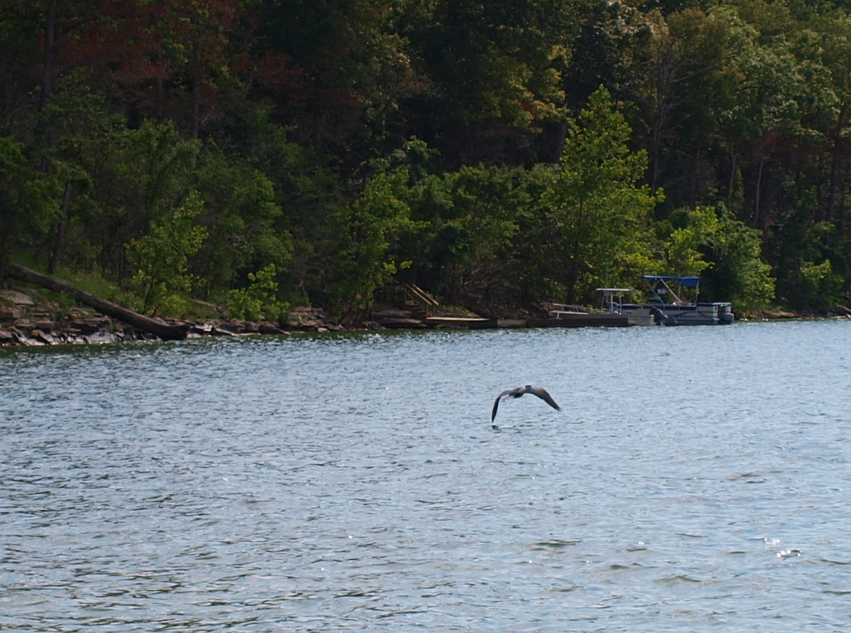
Nolin Lake Autumn 2011

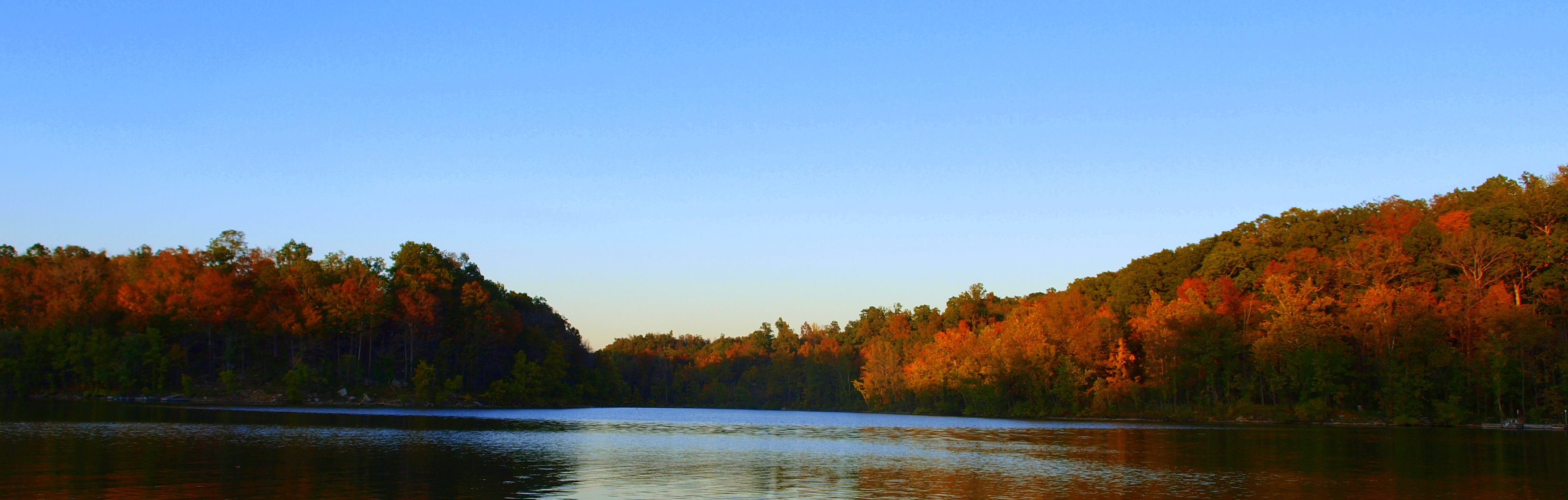
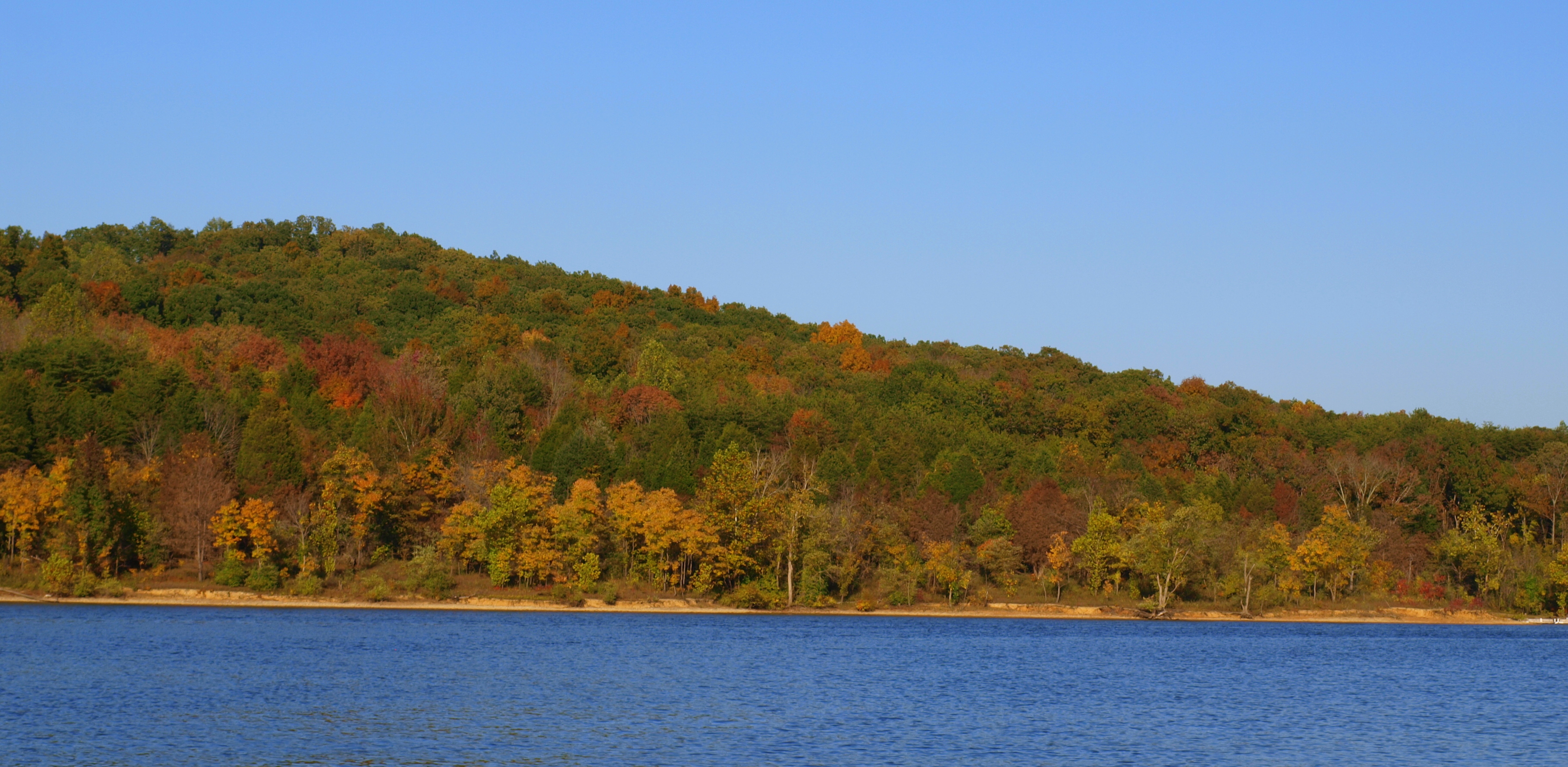
Nolin Lake Autumn 2011
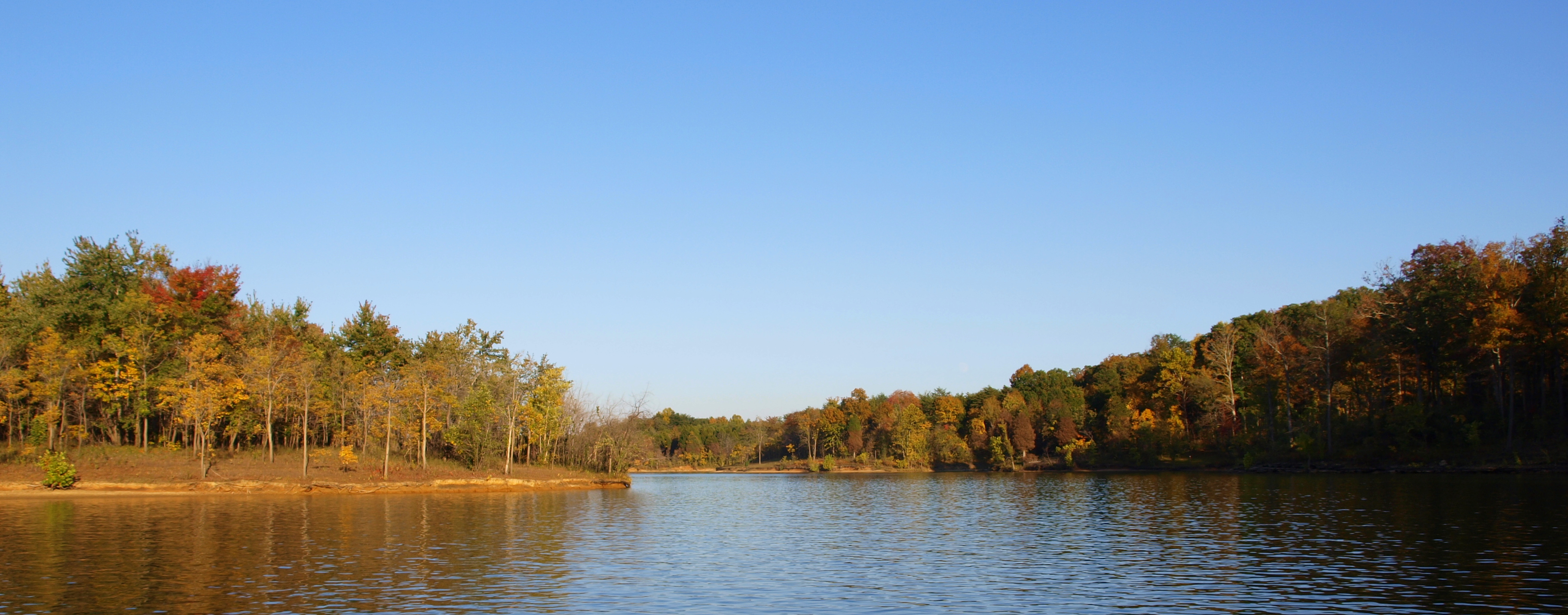
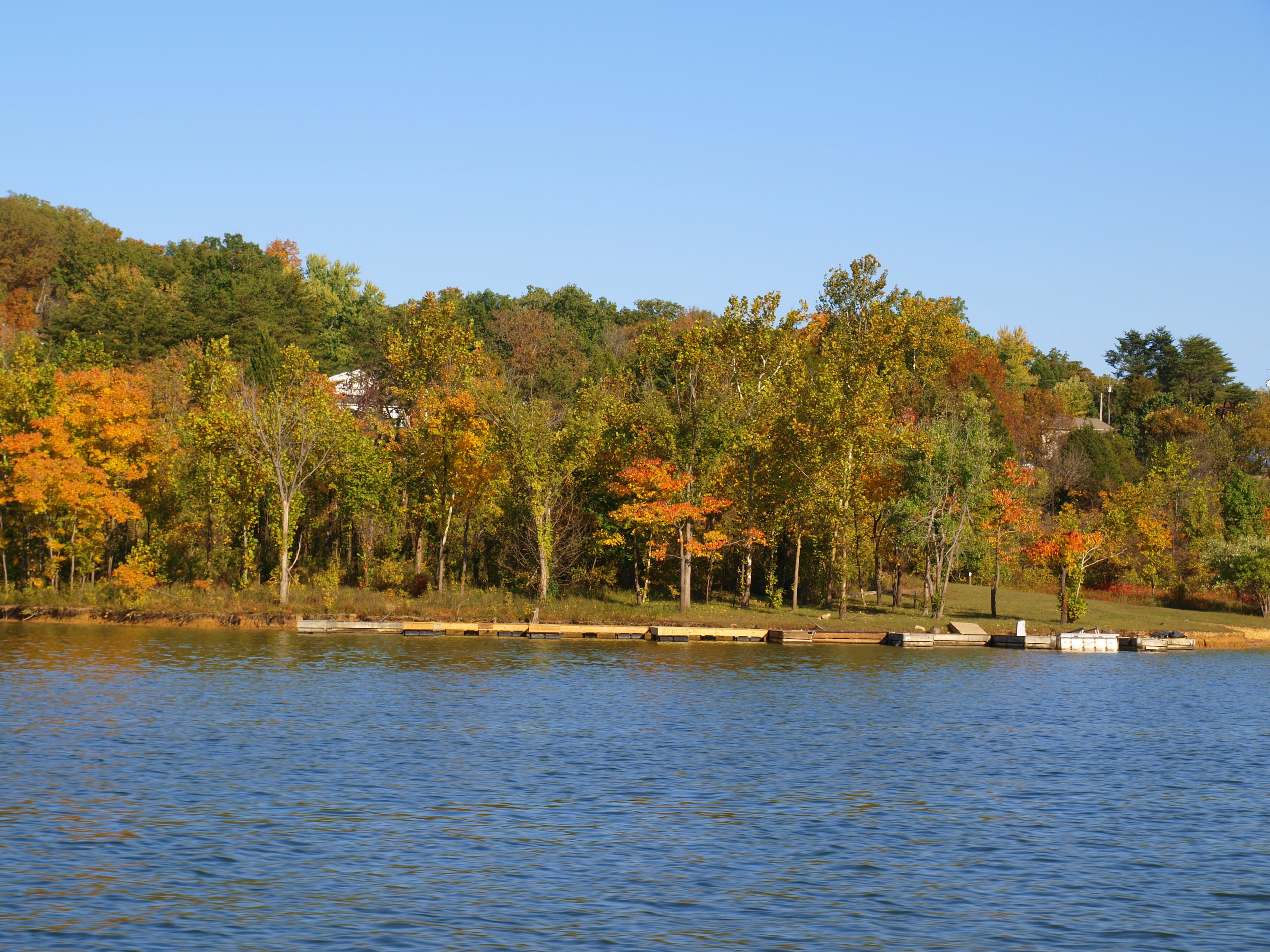
Nolin Lake Autumn 2011

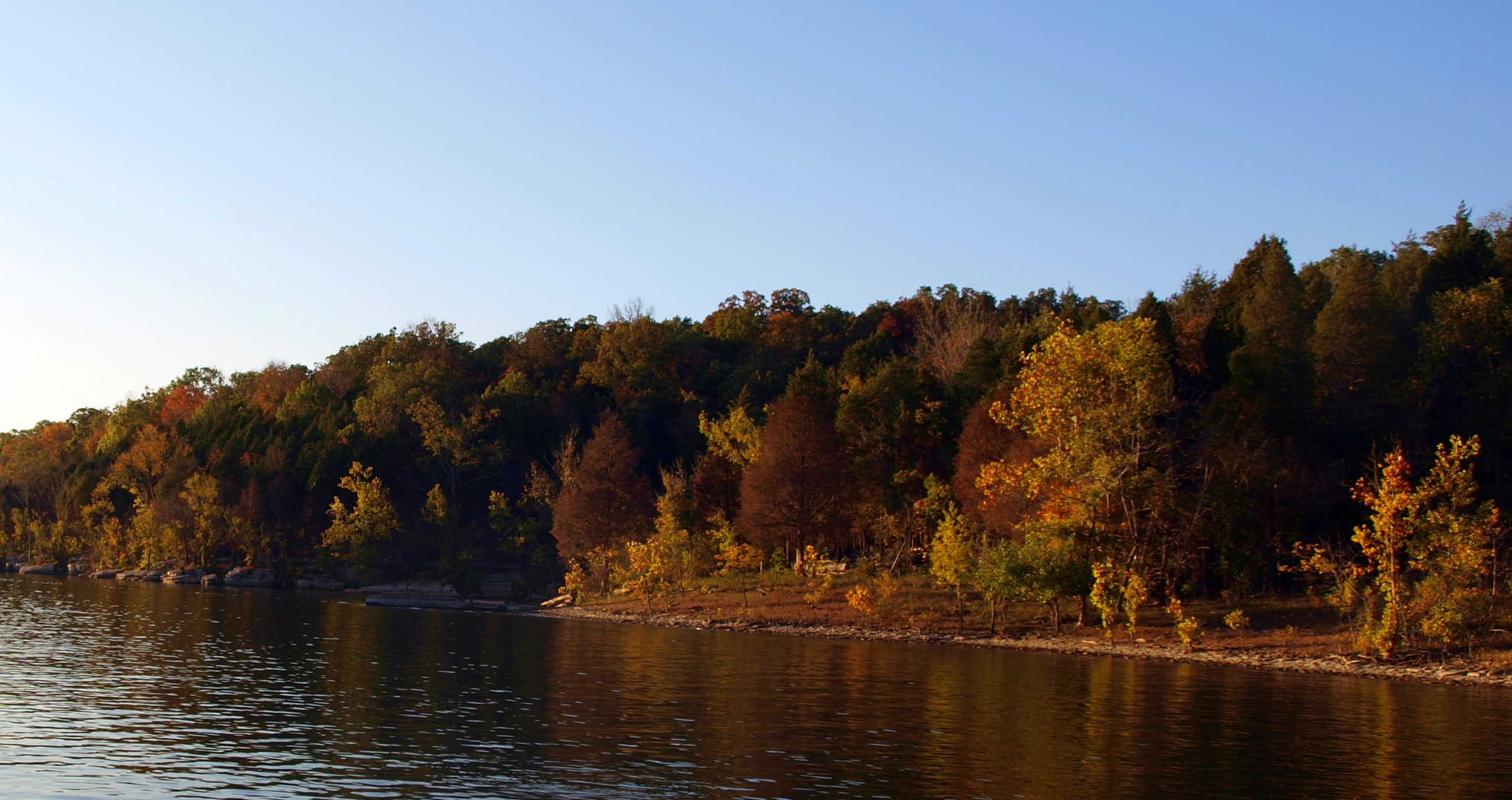
Nolin Lake Autumn 2011

White Mills Bridge
Nolin Lake Autumn 2011
Nolin Lake Autumn 2011
Nolin Lake Autumn 2011
Nolin Lake Autumn 2011

Nolin Lake Autumn 2011
Nolin Lake Autumn 2011
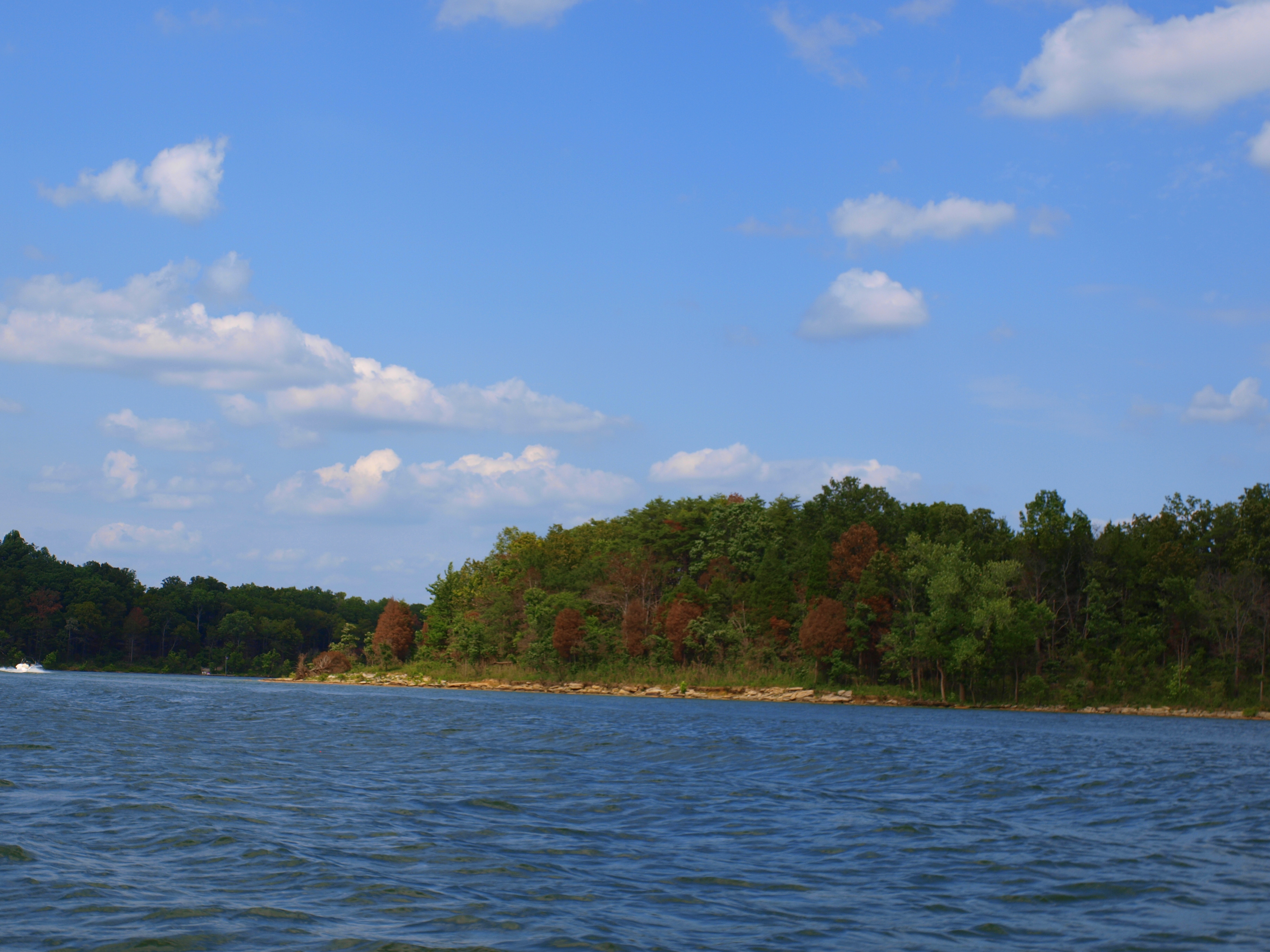
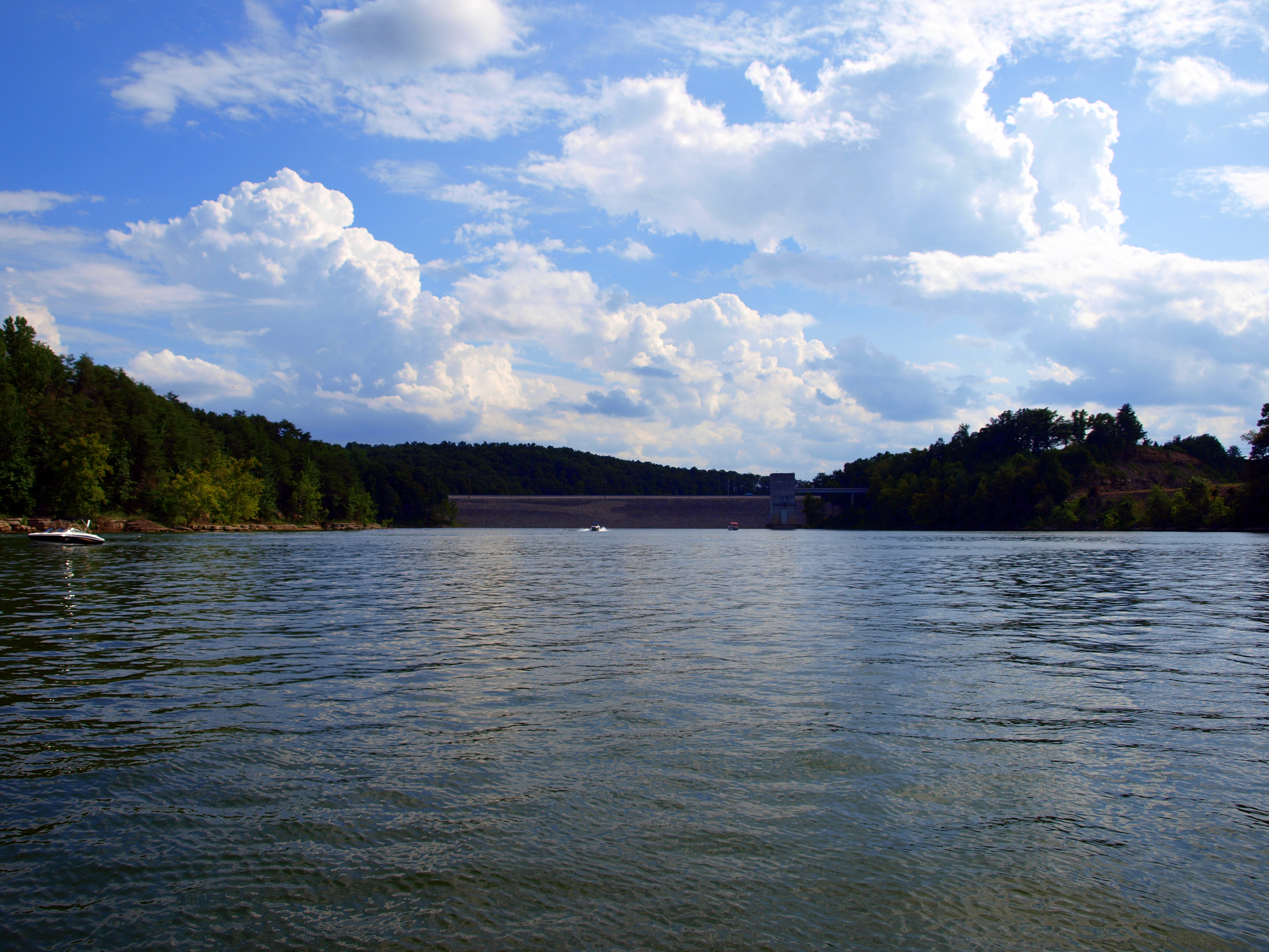
Nolin Lake Summer 2011
Nolin Lake Autumn 2011

Nolin Lake Summer 2011
Nolin Lake Autumn 2011

Nolin Lake Autumn 2011
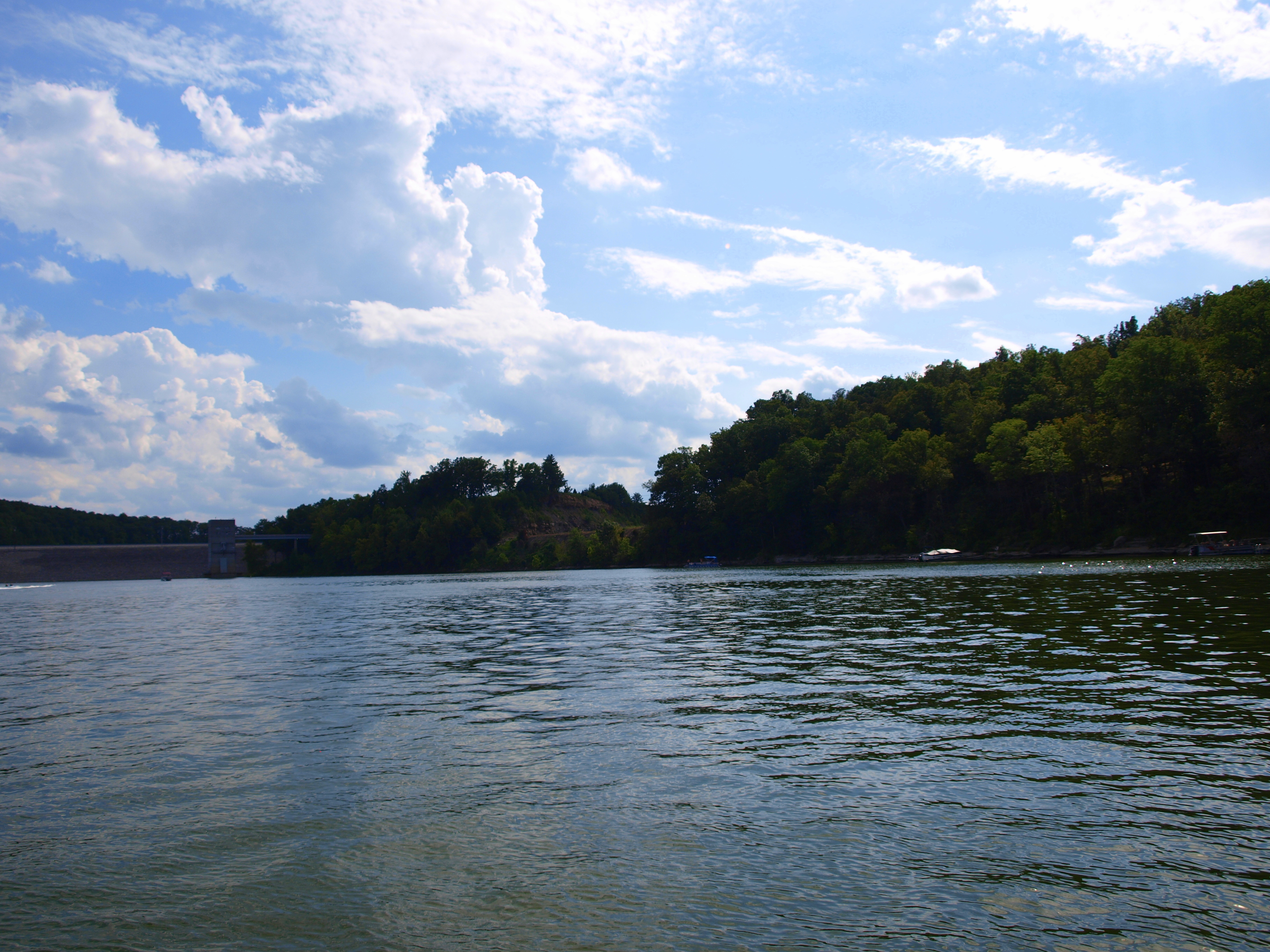
Nolin Lake Summer 2011
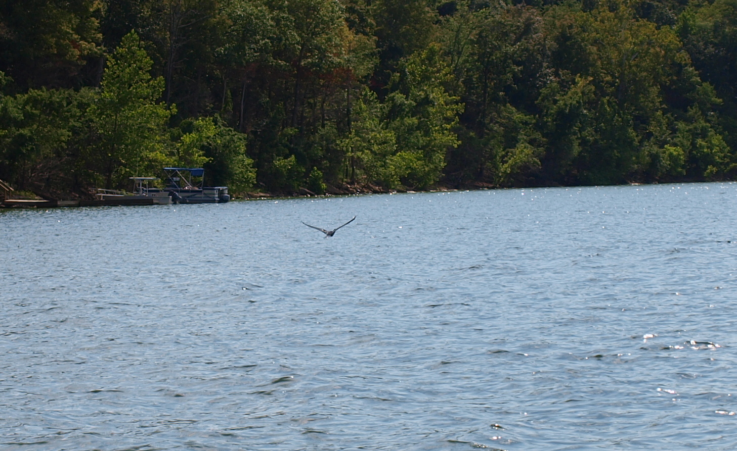
Nolin Lake Summer 2011
Nolin Lake Summer 2011
Nolin Lake Summer 2011
Topographic Map of Millerstown Rd, Clarkson, KY, USA
Find elevation by address:

Places near Millerstown Rd, Clarkson, KY, USA:
3075 Shaw Creek Rd
3069 Shaw Creek Rd
2921 Shaw Creek Rd
Raider Hollow Rd, Upton, KY, USA
555 Fields Ln
Grayson Springs Rd, Clarkson, KY, USA
Big Clifty, KY, USA
Big Clifty
Summit
Peonia Rd, Clarkson, KY, USA
Clarkson
Cub Run Hwy, Cub Run, KY, USA
Dog Creek Road
20 Charles Jaggers Rd
Leitchfield Rd, Eastview, KY, USA
Flint Hill Road
Cub Run
Cub Run Hwy, Cub Run, KY, USA
Eastview
95 Lone Star Tower Rd
Recent Searches:
- Elevation of Corso Fratelli Cairoli, 35, Macerata MC, Italy
- Elevation of Tallevast Rd, Sarasota, FL, USA
- Elevation of 4th St E, Sonoma, CA, USA
- Elevation of Black Hollow Rd, Pennsdale, PA, USA
- Elevation of Oakland Ave, Williamsport, PA, USA
- Elevation of Pedrógão Grande, Portugal
- Elevation of Klee Dr, Martinsburg, WV, USA
- Elevation of Via Roma, Pieranica CR, Italy
- Elevation of Tavkvetili Mountain, Georgia
- Elevation of Hartfords Bluff Cir, Mt Pleasant, SC, USA