Elevation of Nacke Pike Rd, Cecilia, KY, USA
Location: United States > Kentucky > Hardin County > Cecilia >
Longitude: -86.029153
Latitude: 37.6248445
Elevation: 216m / 709feet
Barometric Pressure: 99KPa
Elevation Map:
Satellite Map:
Related Photos:

Setting Sun
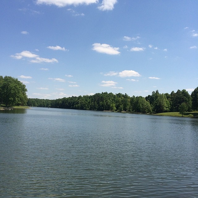
View of lake today!

Black-bellied Whistling Ducks
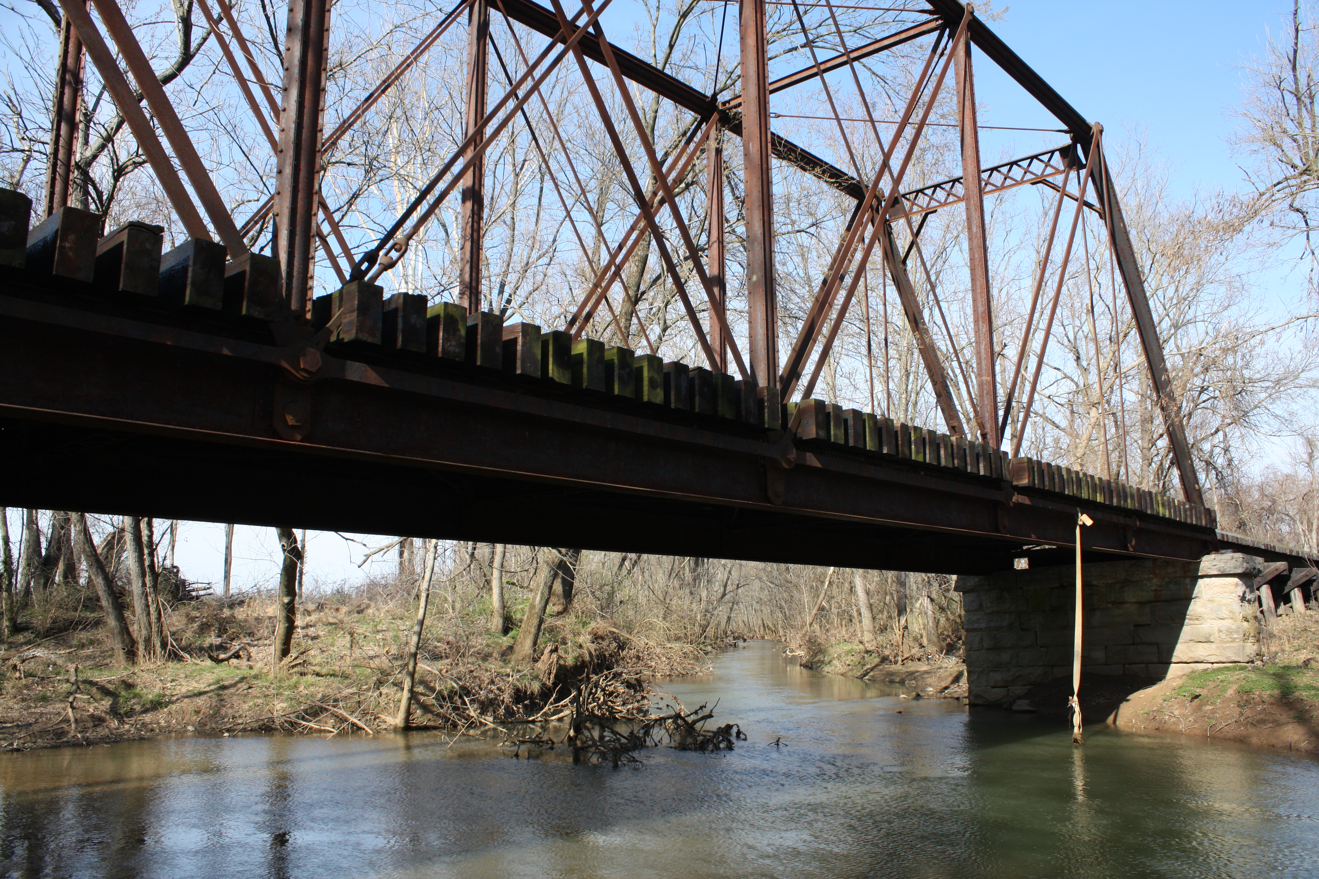
Valley Creek Railroad Bridge

PAL LCL3, Saint John, KY

PAL LCL2, Eastview, KY

Noon, Kentucky
You'll Remember Me When the West Wind Moves

Glendale KY

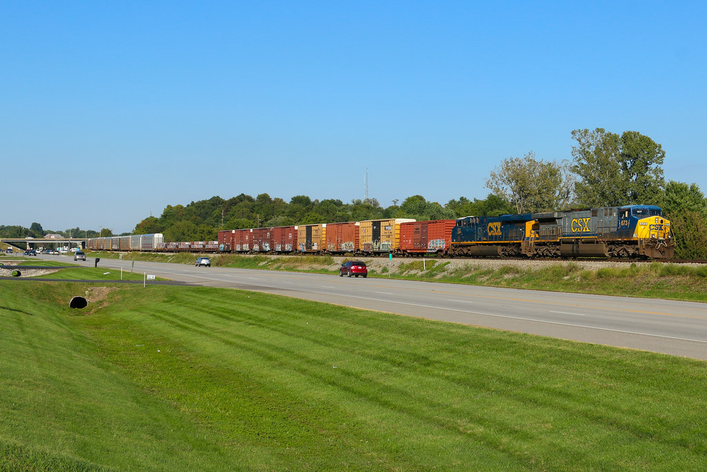
CSXT Q534, Glendale, KY

Great Adventure 2012-069

Great Adventure 2012-145

Fixin' the electric fence out back of the main field. Feels good to be in the country.

PAL PL4, Saint John, KY

Great Adventure 2012-026

Great Adventure 2012-121

Great Adventure 2012-165

PAL LG4, Stephensburg, KY
CSX Q201-19, Elizabethtown,KY 9/19/2016
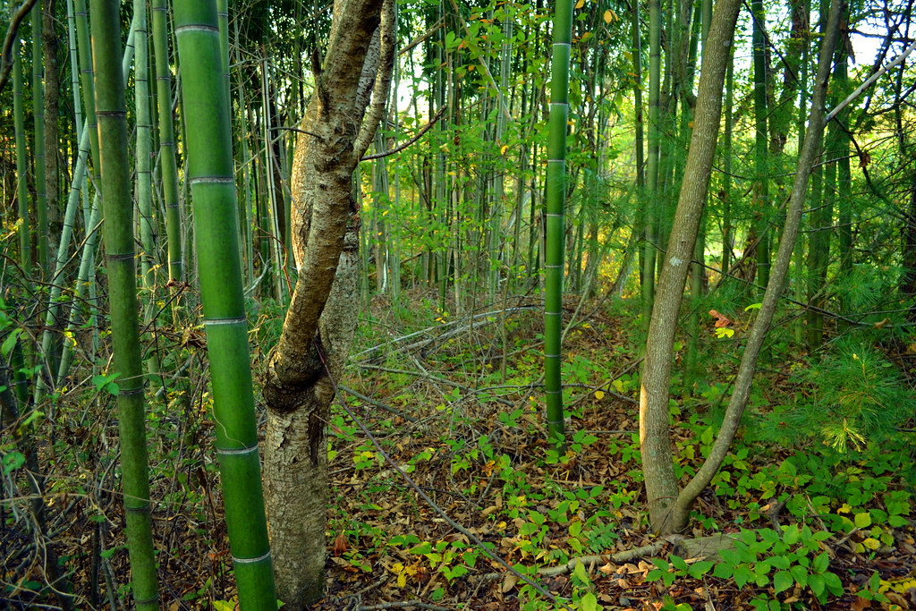
Modern Kentucky Forest
Topographic Map of Nacke Pike Rd, Cecilia, KY, USA
Find elevation by address:

Places near Nacke Pike Rd, Cecilia, KY, USA:
Hardin County
46 N Sunset Ave
W Main St, Cecilia, KY, USA
Cecilia
Lone Oak Road
174 Watson Ln
9067 Rineyville-big Springs Rd
1725 Bacon Creek Rd
Rineyville-Big Springs Rd, Rineyville, KY, USA
360 Ring Rd
Rineyville
Harmony Way
89 E Rainbow Way
303 State St
505 Cs-1389
1139 Burns Rd
Elizabethtown
1005 Driftwood Ln
465 Springfield Rd
S Wilson Rd, Radcliff, KY, USA
Recent Searches:
- Elevation of Corso Fratelli Cairoli, 35, Macerata MC, Italy
- Elevation of Tallevast Rd, Sarasota, FL, USA
- Elevation of 4th St E, Sonoma, CA, USA
- Elevation of Black Hollow Rd, Pennsdale, PA, USA
- Elevation of Oakland Ave, Williamsport, PA, USA
- Elevation of Pedrógão Grande, Portugal
- Elevation of Klee Dr, Martinsburg, WV, USA
- Elevation of Via Roma, Pieranica CR, Italy
- Elevation of Tavkvetili Mountain, Georgia
- Elevation of Hartfords Bluff Cir, Mt Pleasant, SC, USA