Elevation of Ring Rd, Elizabethtown, KY, USA
Location: United States > Kentucky > Hardin County > Elizabethtown >
Longitude: -85.914195
Latitude: 37.6915399
Elevation: 227m / 745feet
Barometric Pressure: 99KPa
Elevation Map:
Satellite Map:
Related Photos:

I am.....Clematis!

Soccer/football
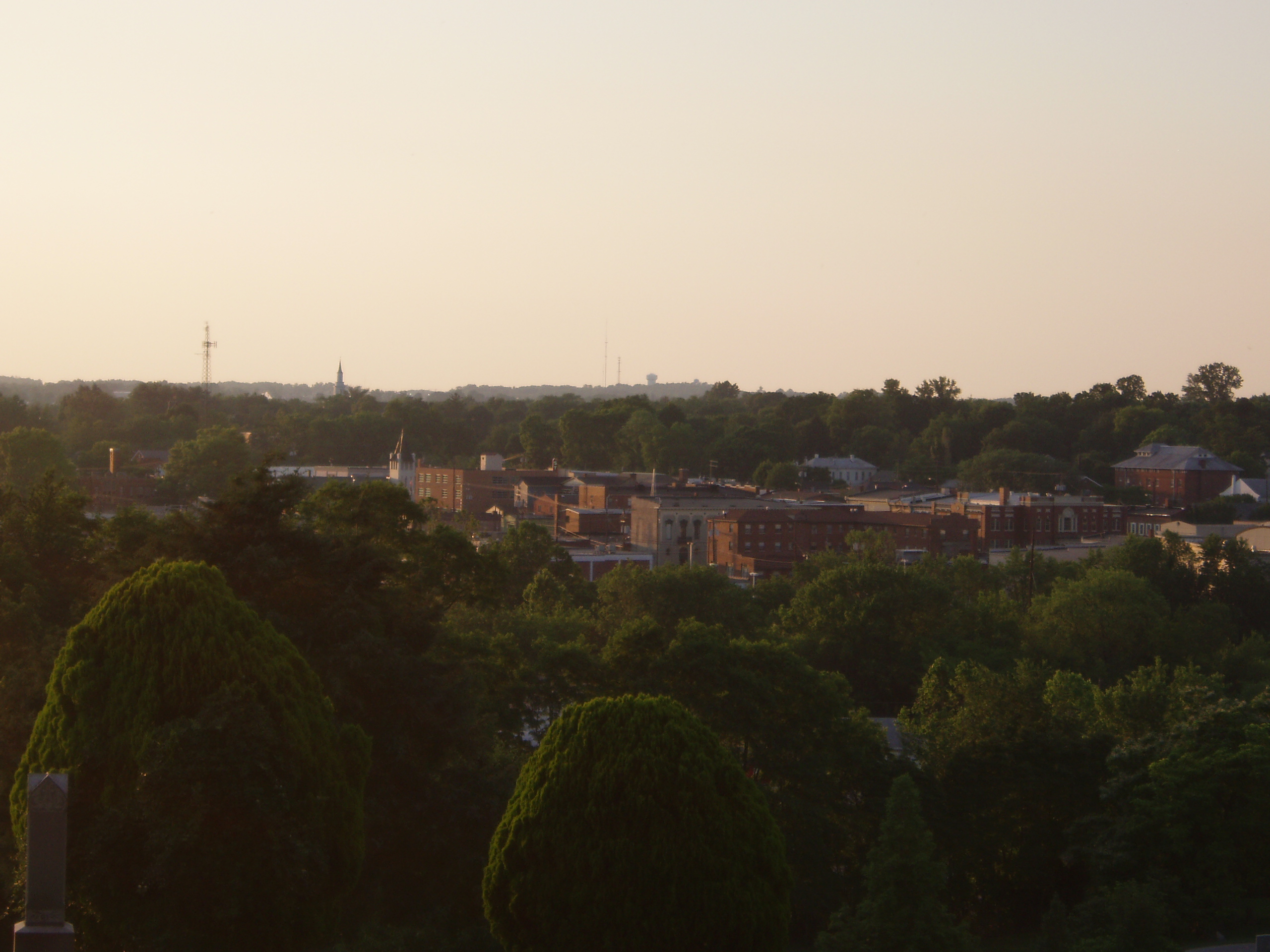
The best view of town
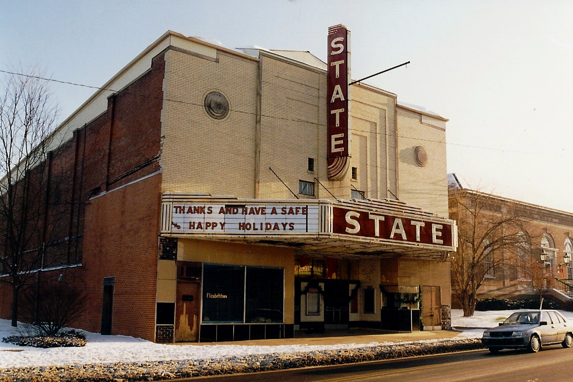
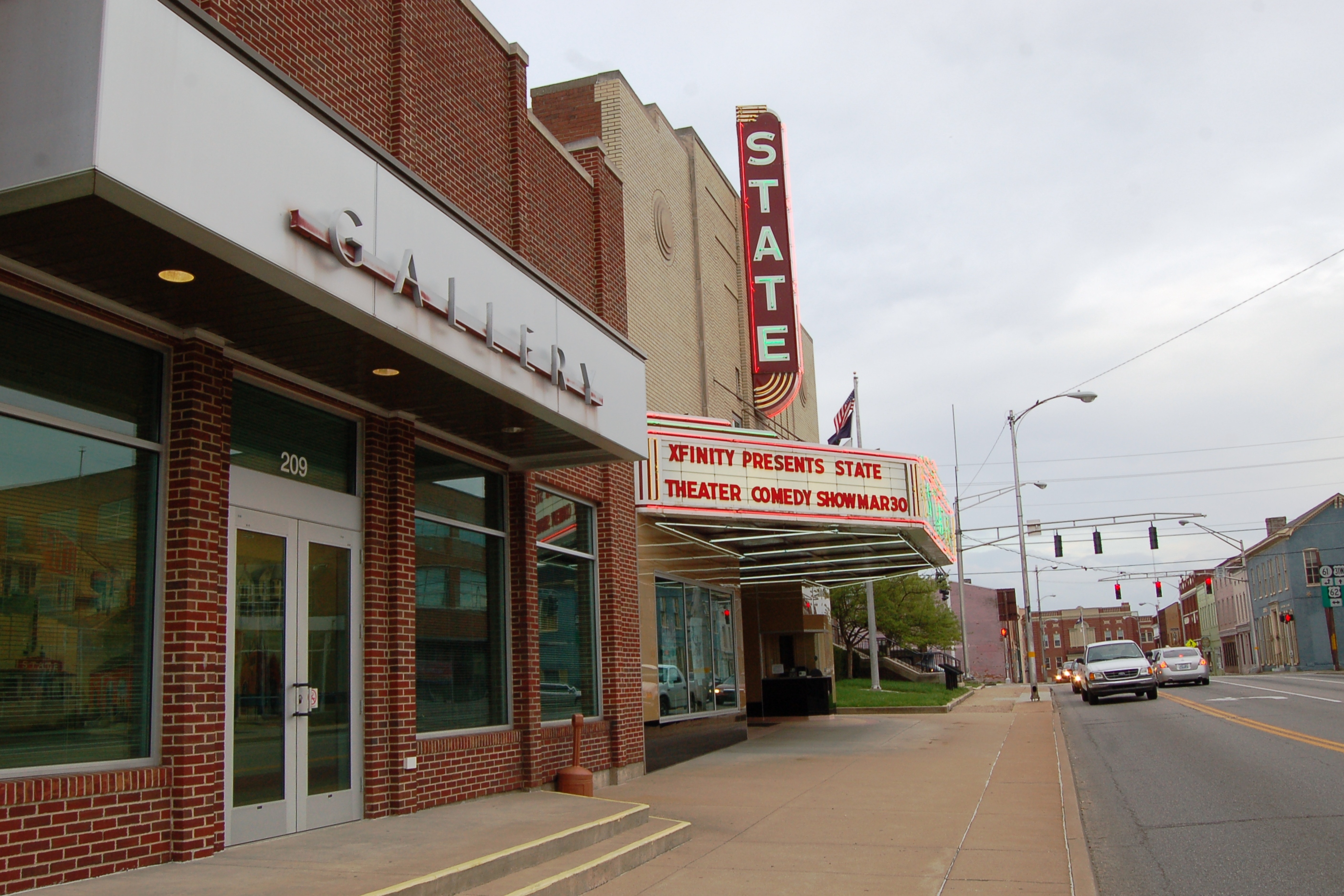
Kentucky, Elizabethtown, State Theatre (8,020)

Atop E'Town Cemetery

Mozart's paws

Setting Sun
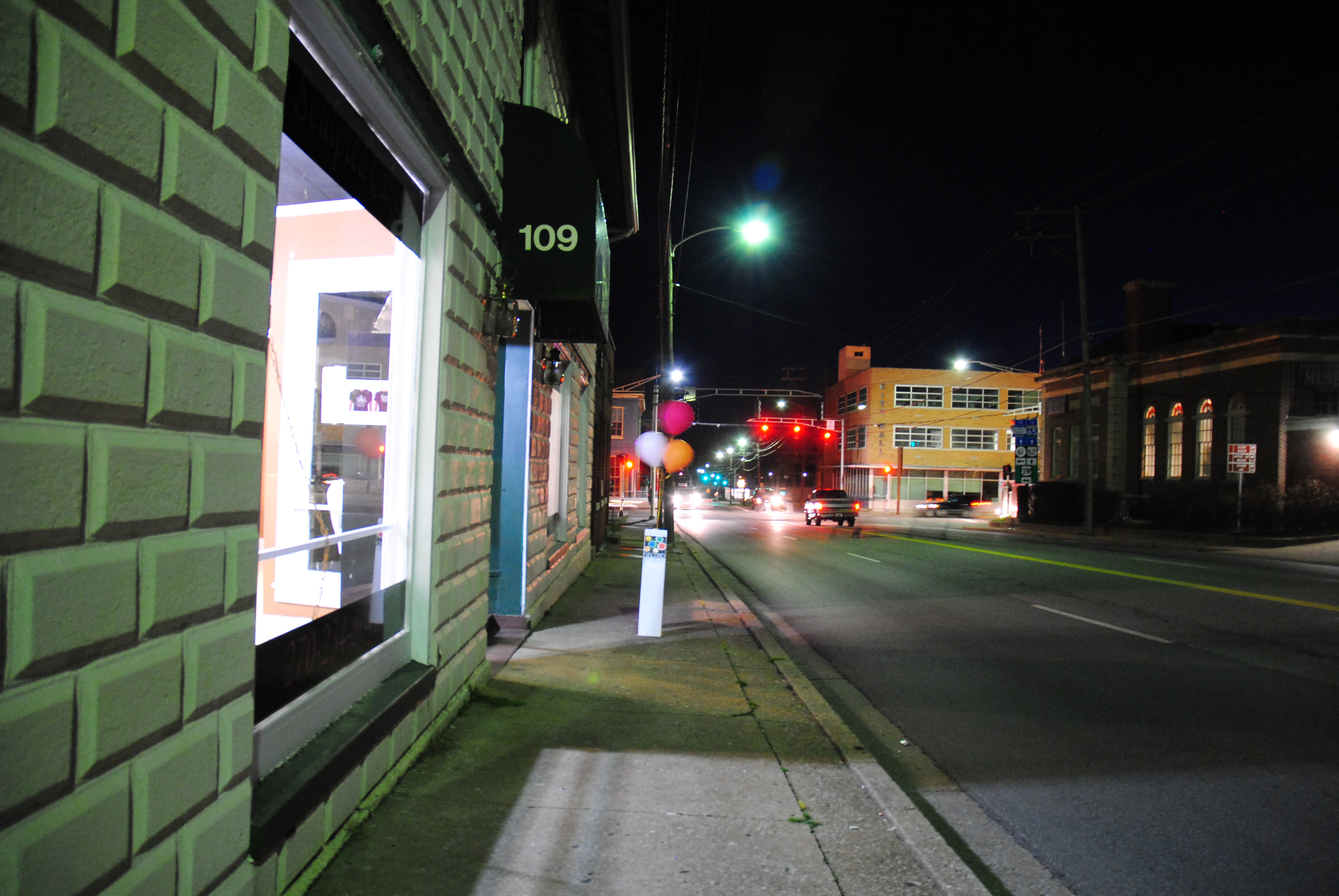
The Sidewalk View

White-winged Crossbill Kathy Brewer 30 Jan 2013 Elizabethtown, KY

Kentucky, Elizabethtown, State Theatre (8,020-2)
Kentucky, Elizabethtown, State Theatre (8,020c)

Kentucky, Elizabethtown, State Theatre (8,020-2b)

Noon, Kentucky

Glendale KY

Freeman Lake Set. Reflections

PAL LCL2, Eastview, KY

PAL LCL3, Saint John, KY
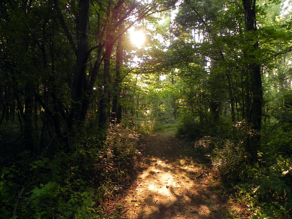
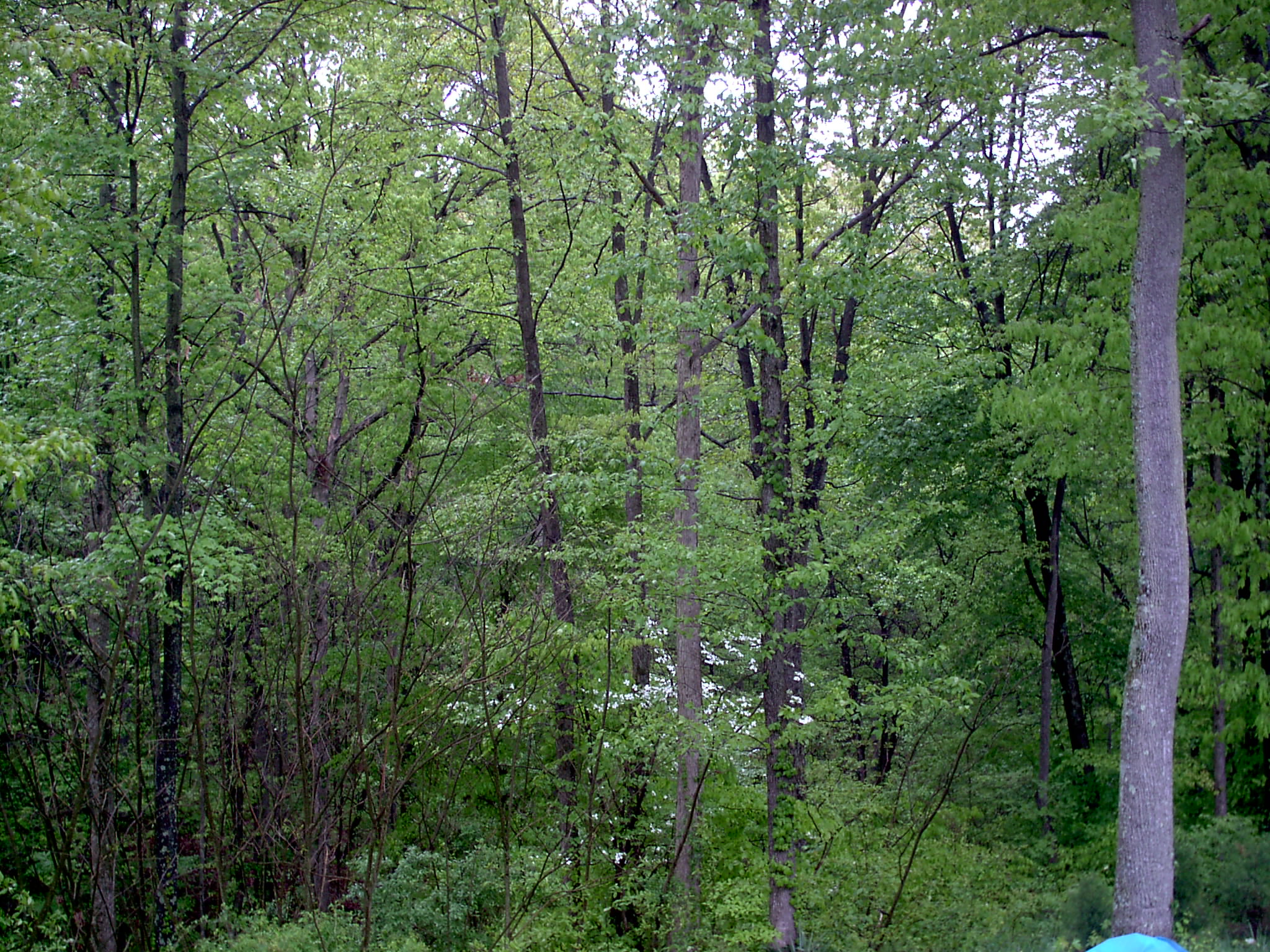
Enchanted Forest

Great Adventure 2012-069

after the storm
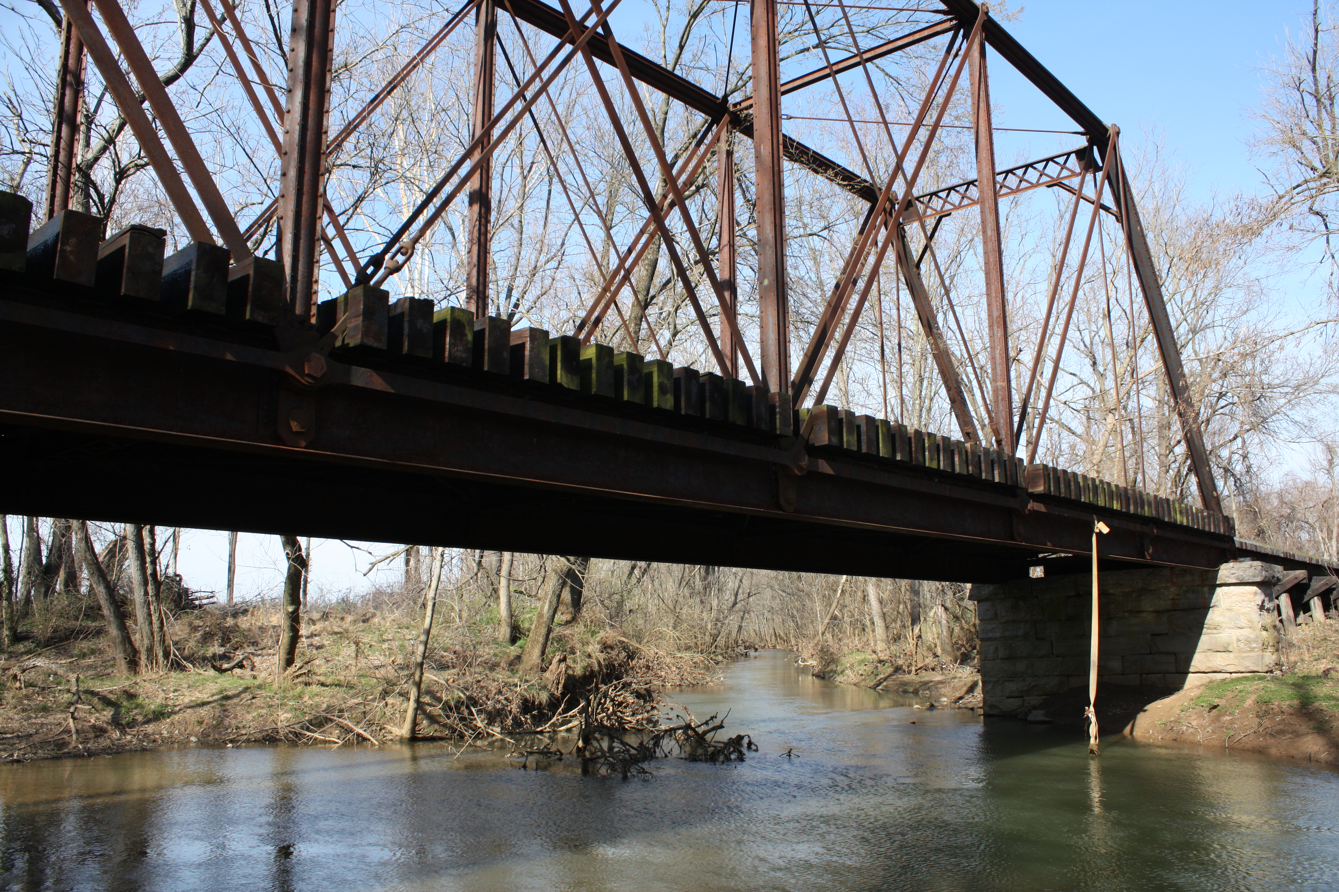
Valley Creek Railroad Bridge

CSXT Q525, Elizabethtown, KY
2010-07-05 20.11.09

Still Life

Great Adventure 2012-042
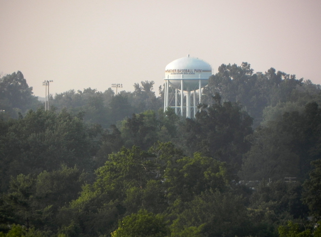
Elizabethtown Panther Baseball Park

Great Adventure 2012-145
Spring Forest
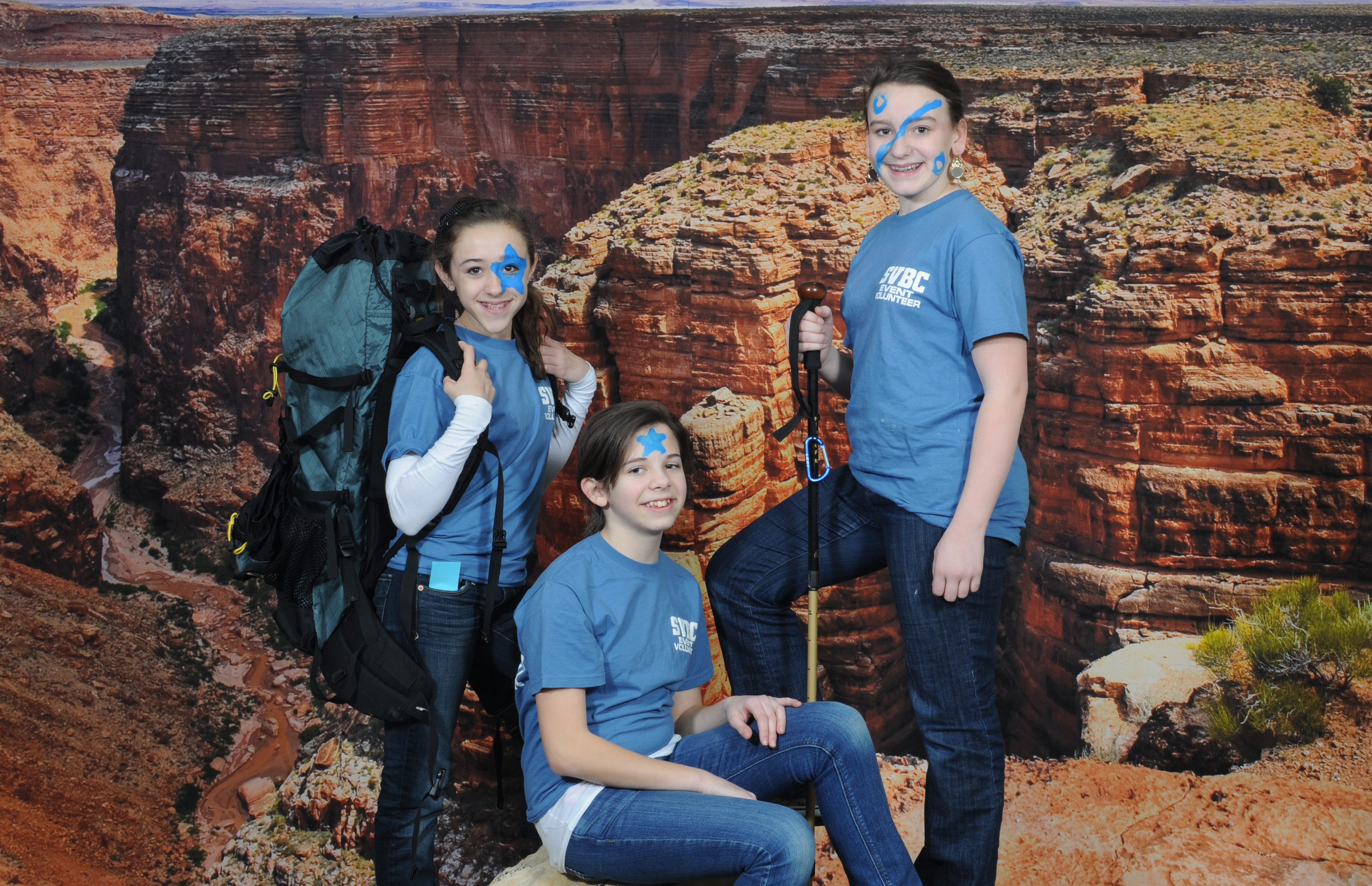
Great Adventure 2012-026

Great Adventure 2012-121

Great Adventure 2012-165

PAL LG4, Stephensburg, KY
Topographic Map of Ring Rd, Elizabethtown, KY, USA
Find elevation by address:

Places near Ring Rd, Elizabethtown, KY, USA:
Harmony Way
303 State St
1725 Bacon Creek Rd
Lone Oak Road
505 Cs-1389
174 Watson Ln
Cecilia
W Main St, Cecilia, KY, USA
Elizabethtown
46 N Sunset Ave
1005 Driftwood Ln
89 E Rainbow Way
465 Springfield Rd
1406 N Miles St
200 Evergreen Garden
Rineyville
1415 Hodgenville Rd
S Wilson Rd, Radcliff, KY, USA
161 Katelyn Dr
Hardin County
Recent Searches:
- Elevation of Corso Fratelli Cairoli, 35, Macerata MC, Italy
- Elevation of Tallevast Rd, Sarasota, FL, USA
- Elevation of 4th St E, Sonoma, CA, USA
- Elevation of Black Hollow Rd, Pennsdale, PA, USA
- Elevation of Oakland Ave, Williamsport, PA, USA
- Elevation of Pedrógão Grande, Portugal
- Elevation of Klee Dr, Martinsburg, WV, USA
- Elevation of Via Roma, Pieranica CR, Italy
- Elevation of Tavkvetili Mountain, Georgia
- Elevation of Hartfords Bluff Cir, Mt Pleasant, SC, USA