Elevation of Kamrar, IA, USA
| Latitude | 42.3910886 |
|---|---|
| Longitude | -93.72994 |
| Elevation | 341m / 1119feet |
| Barometric Pressure | 973KPa |
Related Photos:
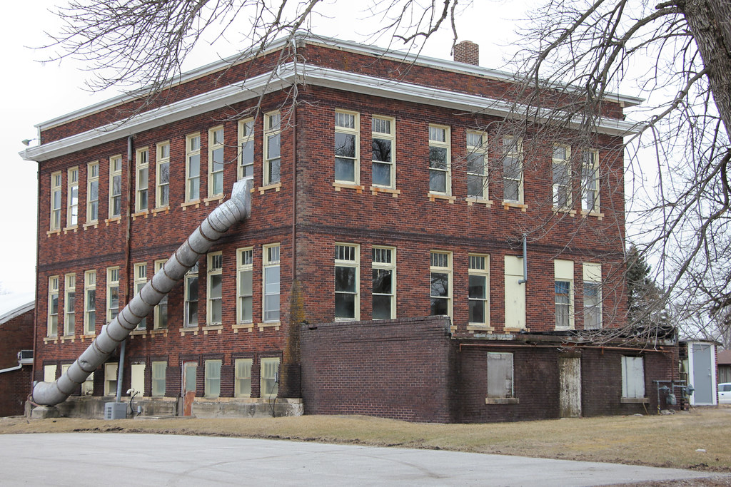
High School (rear view) - Ellsworth, IA
view from the foodcourt

I-35 northbound at US 20
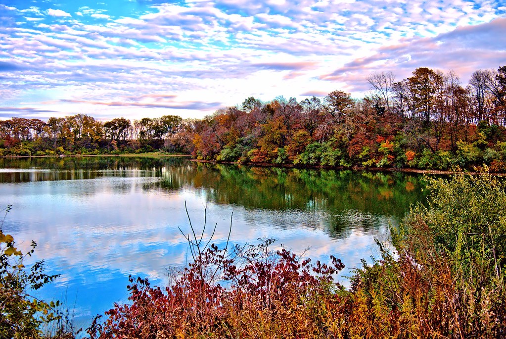
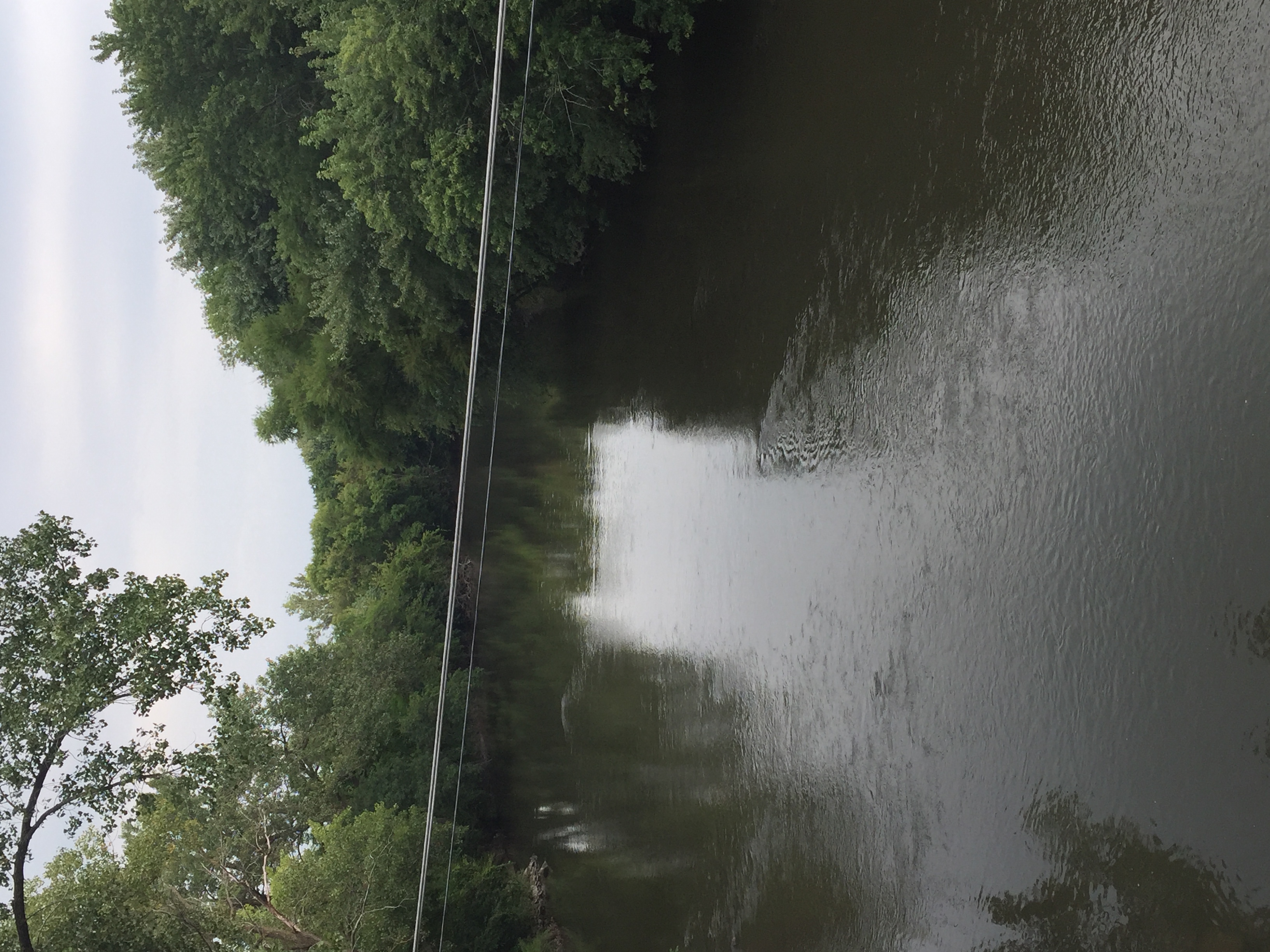
Briggs Woods Lake
Above a Bench
Red Pair

StanhopeHouse20151101-92-HDR.jpg
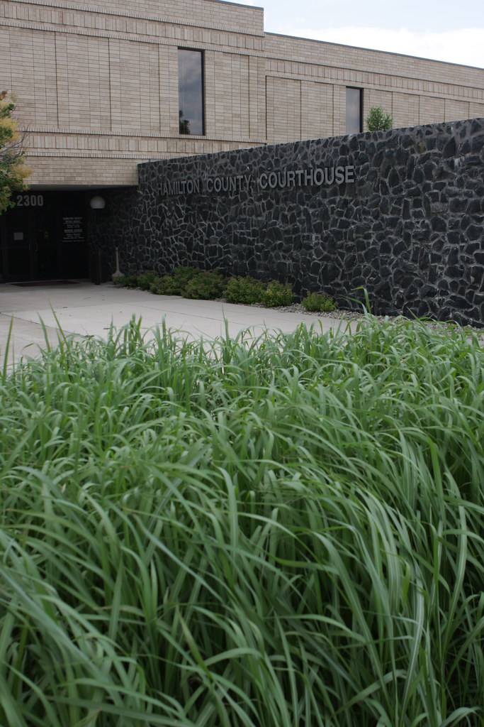
Hamilton County, Iowa Courthouse

Smith's Longspur (Calcarius pictus)

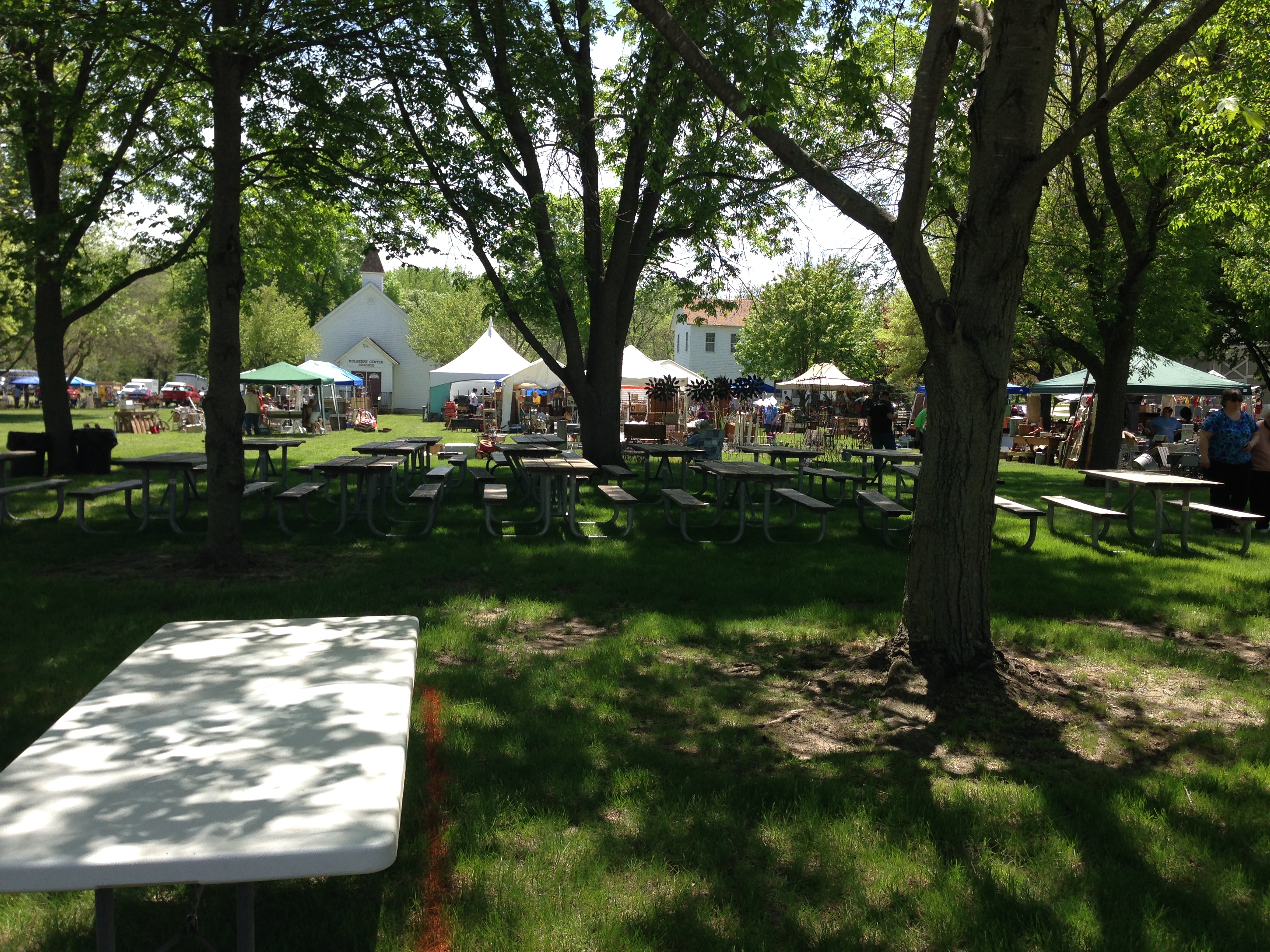
walks in webster city
walks in webster city
walks in webster city
walks in webster city
walks in webster city
walks in webster city
walks in webster city
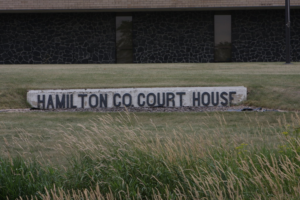
Hamilton County, Iowa Courthouse
Topographic Map of Kamrar, IA, USA
Find elevation by address:
Places near Kamrar, IA, USA:
Main St, Kamrar, IA, USA
Independence
Hamilton County
2485 Virginia Pkwy
1625 River St
Webster City
Little Wall Lake Rd, Jewell, IA, USA
Jewell
1116 3rd St
3501 Tollman Ave
Ellsworth
Ellsworth
Marion
2nd St, Randall, IA, USA
Main St, Williams, IA, USA
Williams
Williams
Tennyson Ave, Stratford, IA, USA
Stratford
Duncombe
Recent Searches:
- Elevation of 104, Chancery Road, Middletown Township, Bucks County, Pennsylvania, 19047, USA
- Elevation of 1212, Cypress Lane, Dayton, Liberty County, Texas, 77535, USA
- Elevation map of Central Hungary, Hungary
- Elevation map of Pest, Central Hungary, Hungary
- Elevation of Pilisszentkereszt, Pest, Central Hungary, Hungary
- Elevation of Dharamkot Tahsil, Punjab, India
- Elevation of Bhinder Khurd, Dharamkot Tahsil, Punjab, India
- Elevation of 2881, Chabot Drive, San Bruno, San Mateo County, California, 94066, USA
- Elevation of 10370, West 107th Circle, Westminster, Jefferson County, Colorado, 80021, USA
- Elevation of 611, Roman Road, Old Ford, Bow, London, England, E3 2RW, United Kingdom
- Elevation of 116, Beartown Road, Underhill, Chittenden County, Vermont, 05489, USA
- Elevation of Window Rock, Colfax County, New Mexico, 87714, USA
- Elevation of 4807, Rosecroft Street, Kempsville Gardens, Virginia Beach, Virginia, 23464, USA
- Elevation map of Matawinie, Quebec, Canada
- Elevation of Sainte-Émélie-de-l'Énergie, Matawinie, Quebec, Canada
- Elevation of Rue du Pont, Sainte-Émélie-de-l'Énergie, Matawinie, Quebec, J0K2K0, Canada
- Elevation of 8, Rue de Bécancour, Blainville, Thérèse-De Blainville, Quebec, J7B1N2, Canada
- Elevation of Wilmot Court North, 163, University Avenue West, Northdale, Waterloo, Region of Waterloo, Ontario, N2L6B6, Canada
- Elevation map of Panamá Province, Panama
- Elevation of Balboa, Panamá Province, Panama