Elevation of Ellsworth, IA, USA
Location: United States > Iowa > Hamilton County > Ellsworth >
Longitude: -93.578775
Latitude: 42.3124934
Elevation: 330m / 1083feet
Barometric Pressure: 97KPa
Elevation Map:
Satellite Map:
Related Photos:

High School (rear view) - Ellsworth, IA

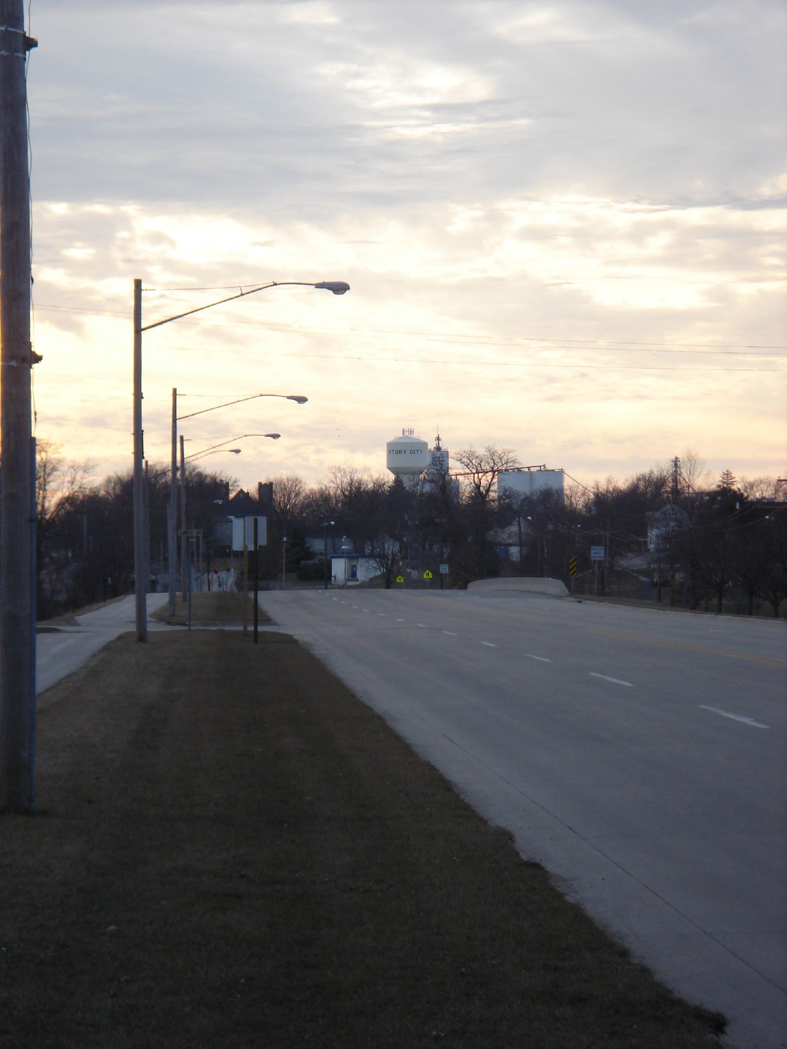
I-35 northbound at US 20

International Space Station

Back view of our home with the new siding and soffits

Front view of our home with the new siding and soffits

WPA Bridge / Flooded City Park

River Bend Golf Course Flooded
Broad Street Bridge
Roland - Story Field Flooded

Flooded cornfield.

Nathan rolls over the road dam

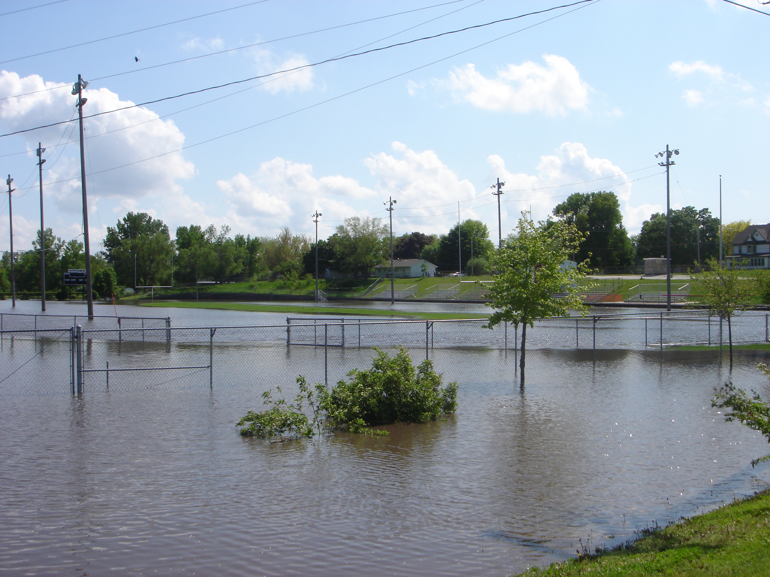
Flooded baseball field in Story City

Sunset on the Prairie

River Bend 9th Hole Flooded

Flooded Roland-Story football field

Chuck nails it

Smith's Longspur (Calcarius pictus)

Waterfall Abstract

Floating down the South Skunk

Wide Open Spaces

Swinging Bridge under water
Topographic Map of Ellsworth, IA, USA
Find elevation by address:

Places near Ellsworth, IA, USA:
3501 Tollman Ave
Little Wall Lake Rd, Jewell, IA, USA
Jewell
2nd St, Randall, IA, USA
Ellsworth
Hamilton County
Kamrar
Main St, Kamrar, IA, USA
Main St, Williams, IA, USA
Williams
Concord
Co Hwy S27, Radcliffe, IA, USA
Williams
Independence
2485 Virginia Pkwy
Buckeye, IA, USA
Alden
1625 River St
W Maple St, Hubbard, IA, USA
Hubbard
Recent Searches:
- Elevation of Corso Fratelli Cairoli, 35, Macerata MC, Italy
- Elevation of Tallevast Rd, Sarasota, FL, USA
- Elevation of 4th St E, Sonoma, CA, USA
- Elevation of Black Hollow Rd, Pennsdale, PA, USA
- Elevation of Oakland Ave, Williamsport, PA, USA
- Elevation of Pedrógão Grande, Portugal
- Elevation of Klee Dr, Martinsburg, WV, USA
- Elevation of Via Roma, Pieranica CR, Italy
- Elevation of Tavkvetili Mountain, Georgia
- Elevation of Hartfords Bluff Cir, Mt Pleasant, SC, USA