Elevation of Kaechon, South Pyongan, North Korea
Location: North Korea >
Longitude: 125.892701
Latitude: 39.7026591
Elevation: 46m / 151feet
Barometric Pressure: 101KPa
Elevation Map:
Satellite Map:
Related Photos:

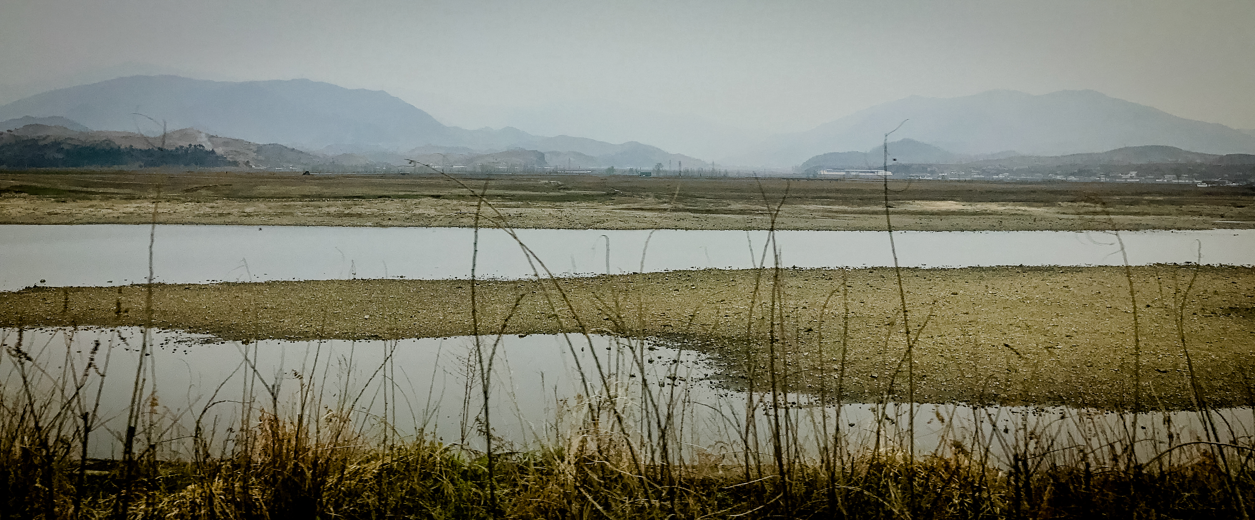
Asie2017-1-212
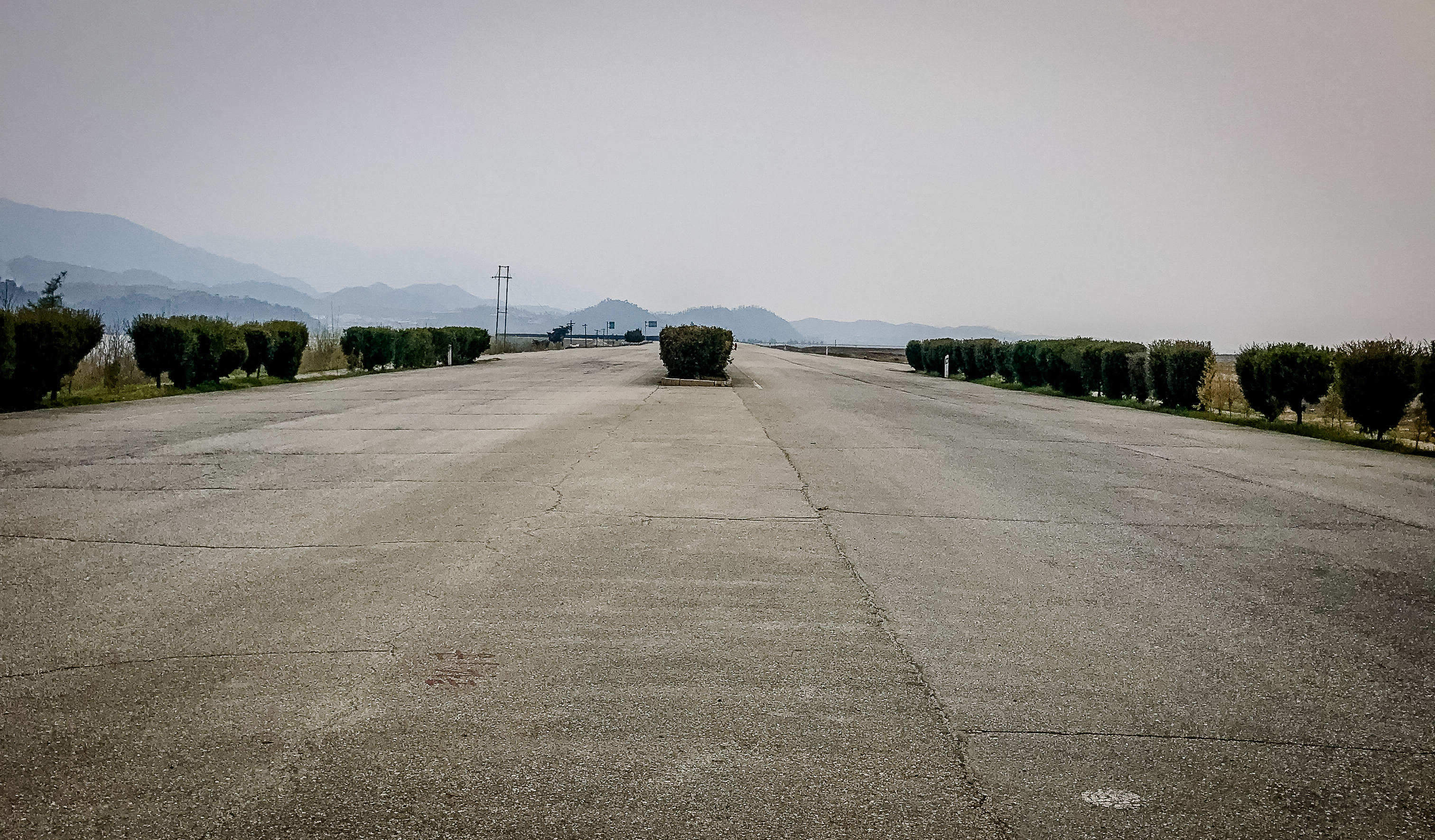
Asie2017-1-213

Asie2017-1-211
Asie2017-1-214
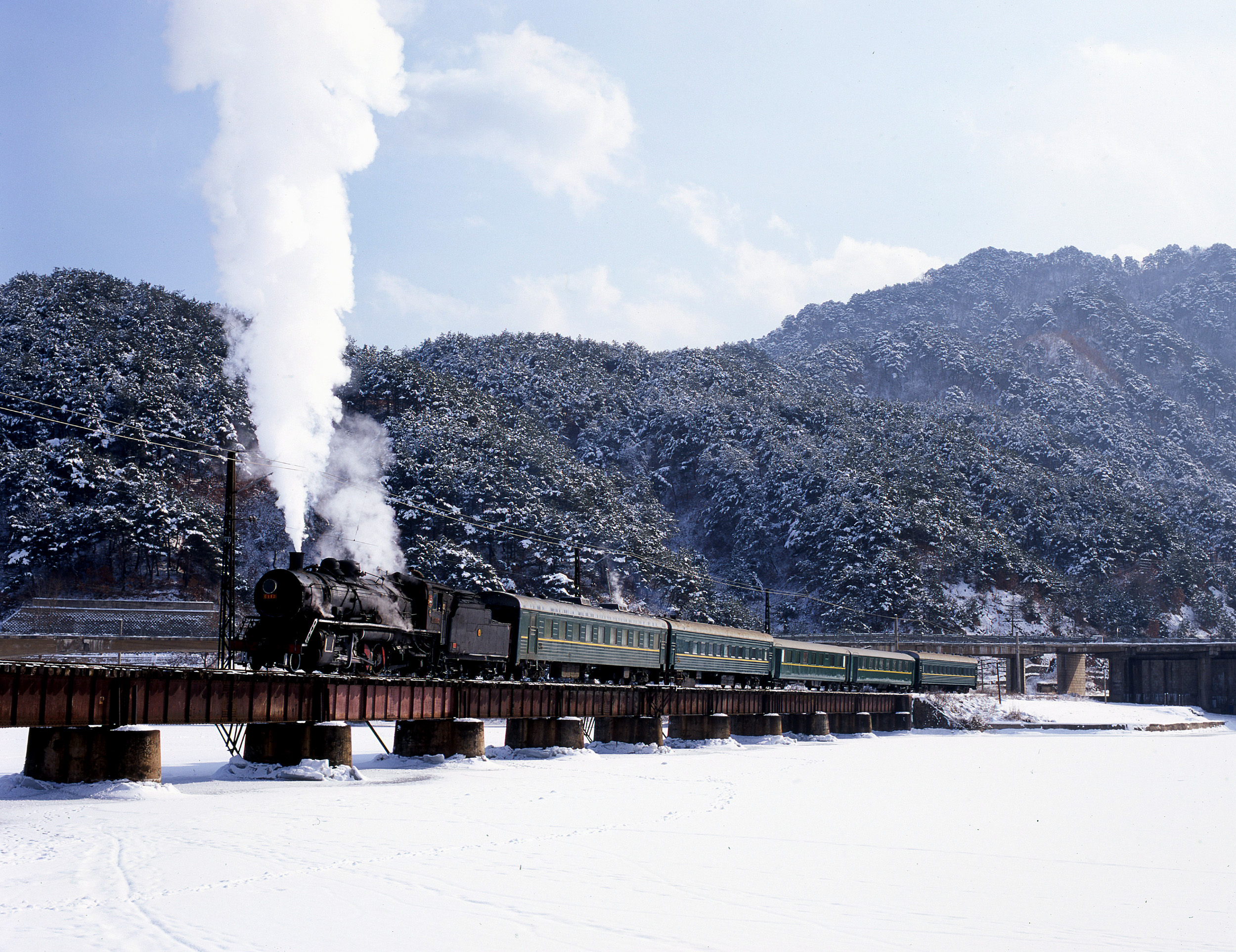
North Korean winter

1704_DPRK -900.jpg
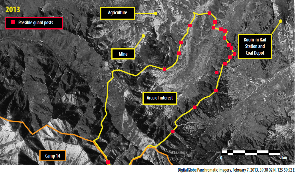
Ch’oma-Bong valley - Possible guard posts

Ch’oma-Bong valley - Overview

Ch’oma-Bong valley - New buildings
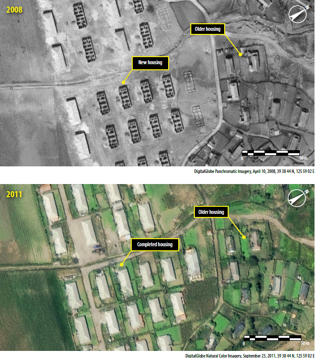
Ch’oma-Bong valley - Increase in housing
Topographic Map of Kaechon, South Pyongan, North Korea
Find elevation by address:

Places near Kaechon, South Pyongan, North Korea:
Anju
Sunchŏn
Sinanju Cheongnyeon Station
Mundeok Station
Tokchon
Hyangsan
Hyangsan Hotel
Unam Station
Mount Myohyang
North Pyongan
Huichon
Jeongju Cheongnyeon Station
Chongju
Kusong
Chagang
Recent Searches:
- Elevation of Corso Fratelli Cairoli, 35, Macerata MC, Italy
- Elevation of Tallevast Rd, Sarasota, FL, USA
- Elevation of 4th St E, Sonoma, CA, USA
- Elevation of Black Hollow Rd, Pennsdale, PA, USA
- Elevation of Oakland Ave, Williamsport, PA, USA
- Elevation of Pedrógão Grande, Portugal
- Elevation of Klee Dr, Martinsburg, WV, USA
- Elevation of Via Roma, Pieranica CR, Italy
- Elevation of Tavkvetili Mountain, Georgia
- Elevation of Hartfords Bluff Cir, Mt Pleasant, SC, USA