Elevation of Jeongju cheongnyeon Station, Chongju, North Pyongan, North Korea
Location: North Korea > North Pyongan > Chongju >
Longitude: 125.214207
Latitude: 39.6874817
Elevation: 12m / 39feet
Barometric Pressure: 101KPa
Elevation Map:
Satellite Map:
Related Photos:
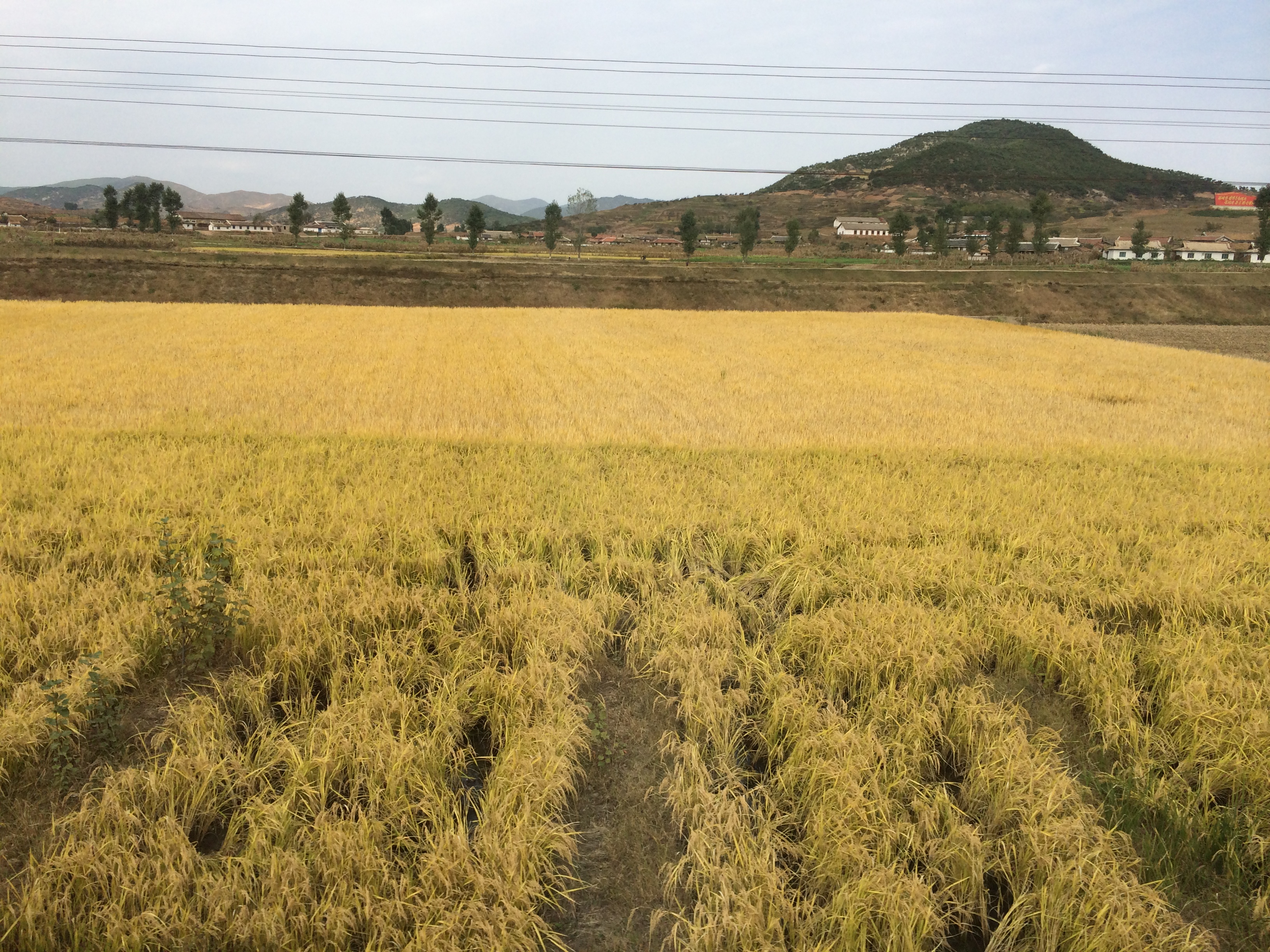
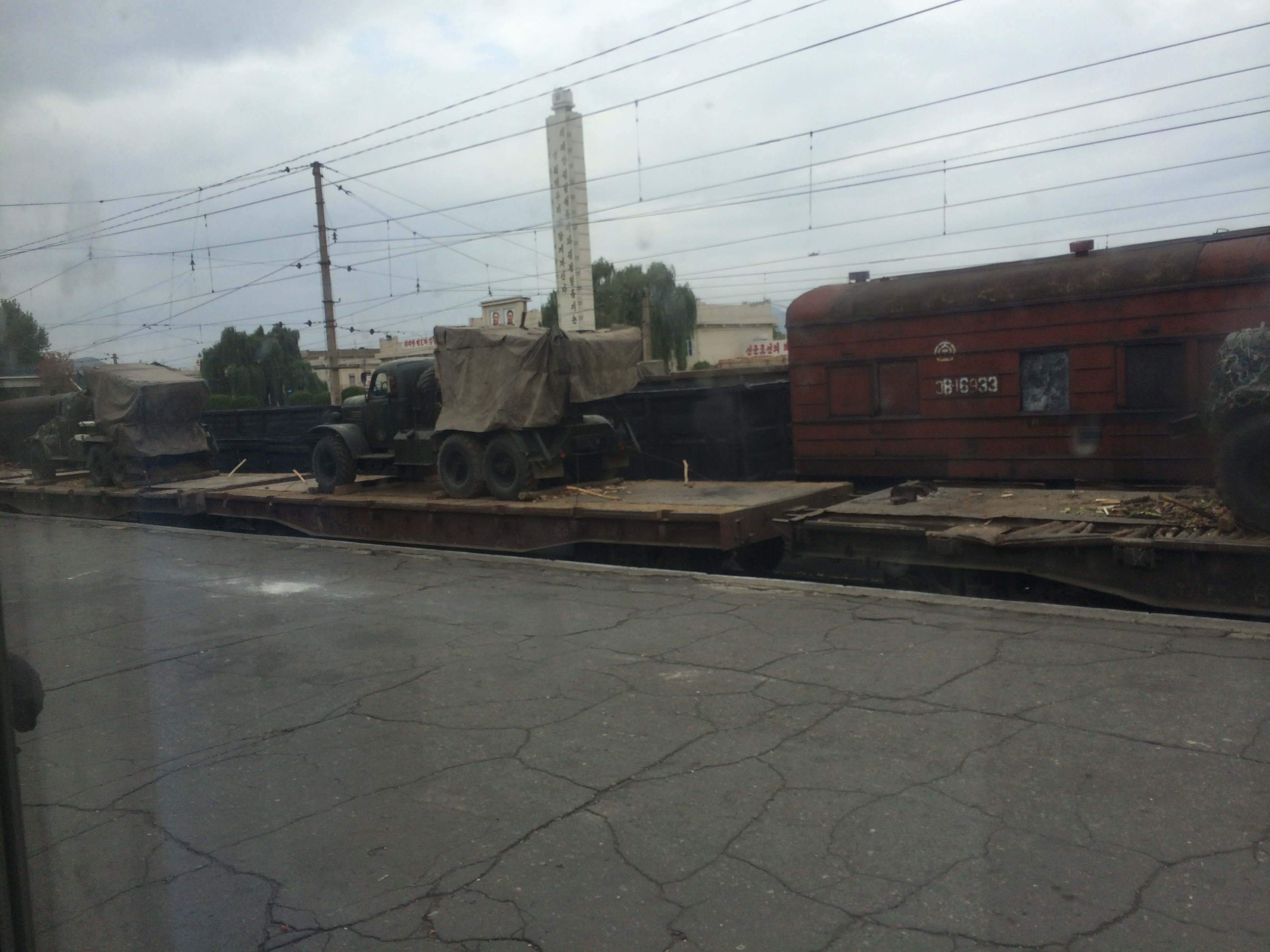
2014 Oct North Korea trip DPRK (2450)
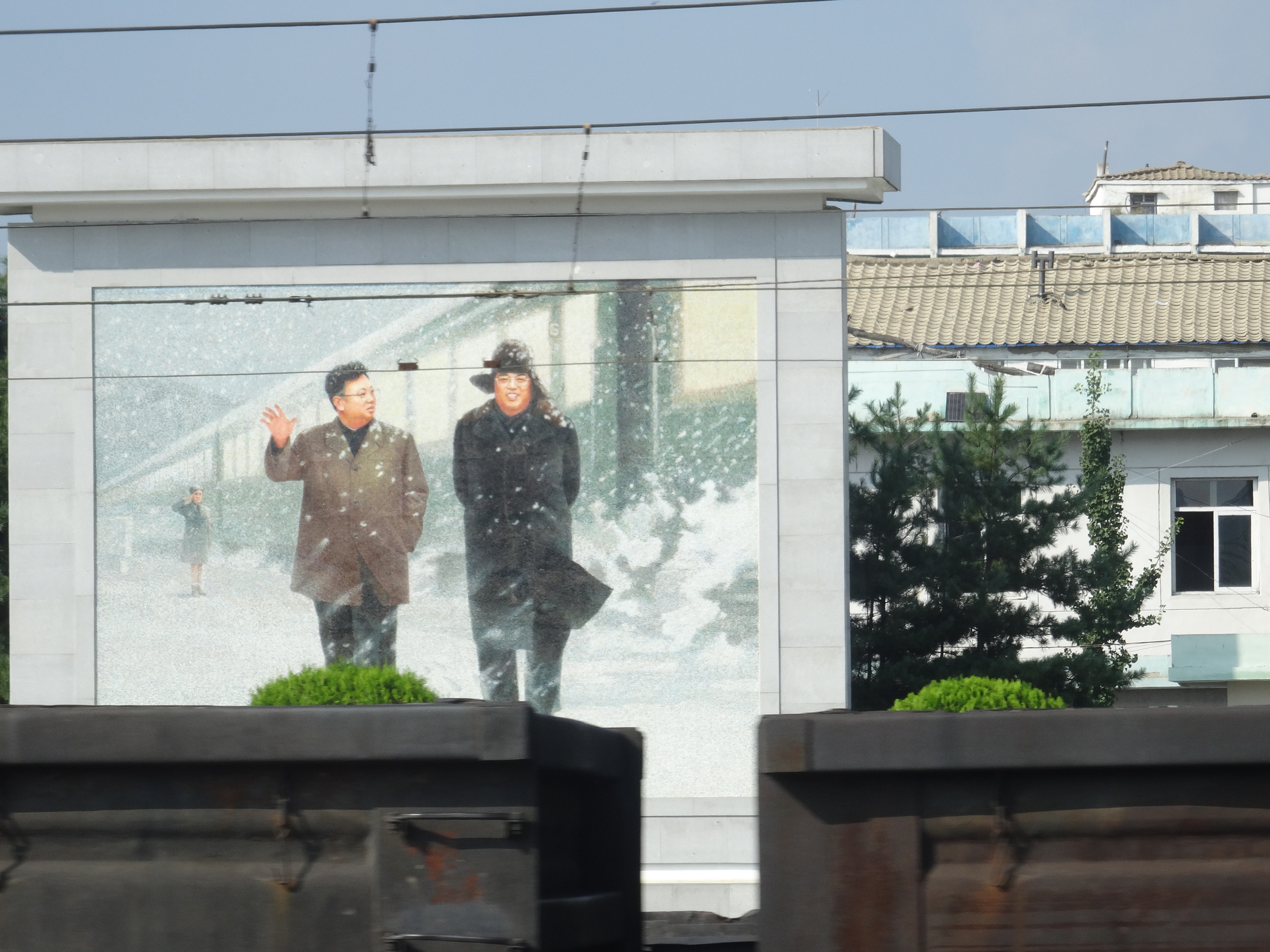
Kim Il-sung en Kim Jong-il
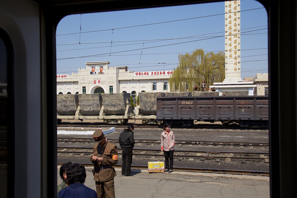
Station Chŏngju Ch'ŏngnyŏn 정주청년역
Corée du Nord
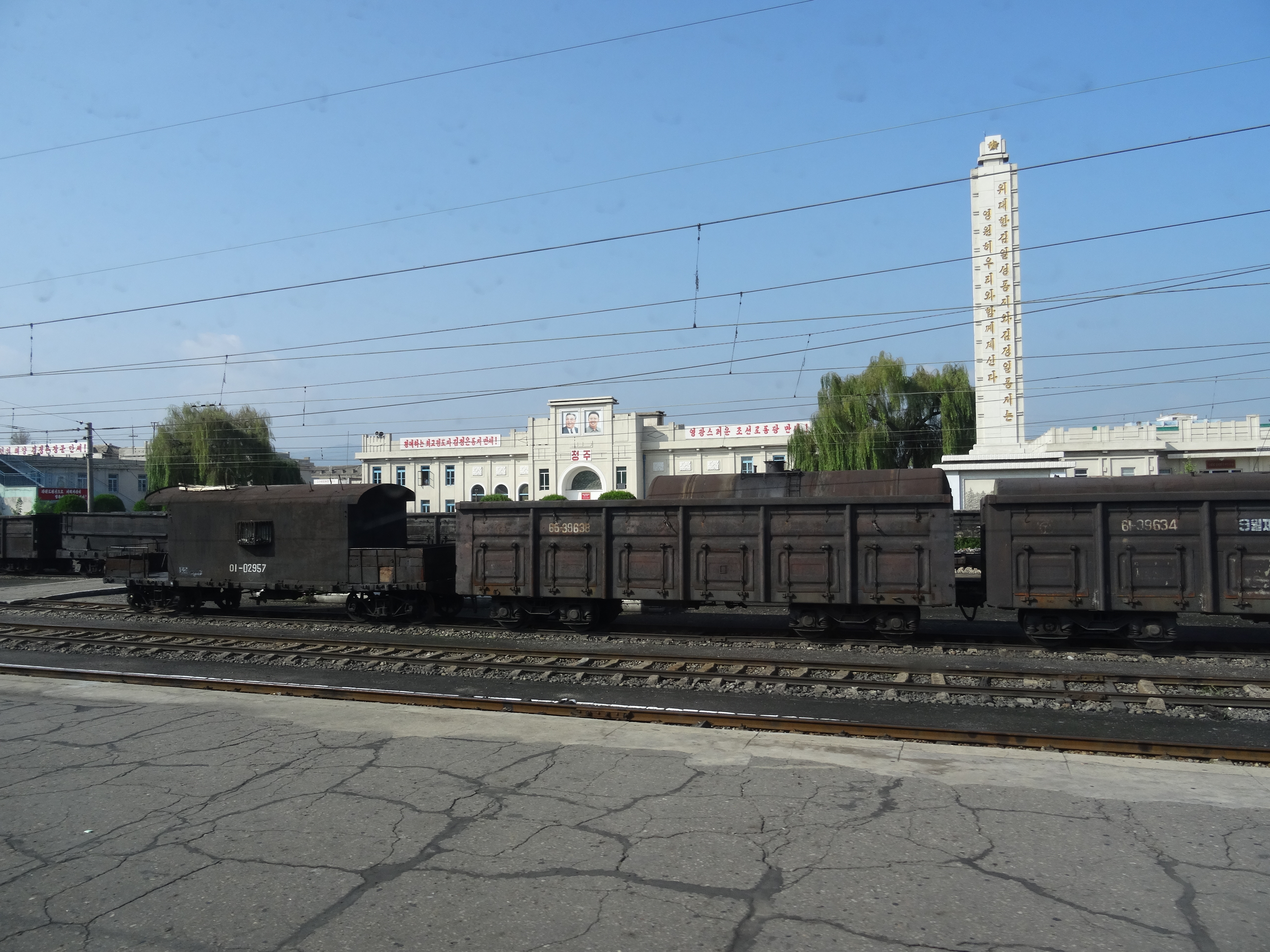
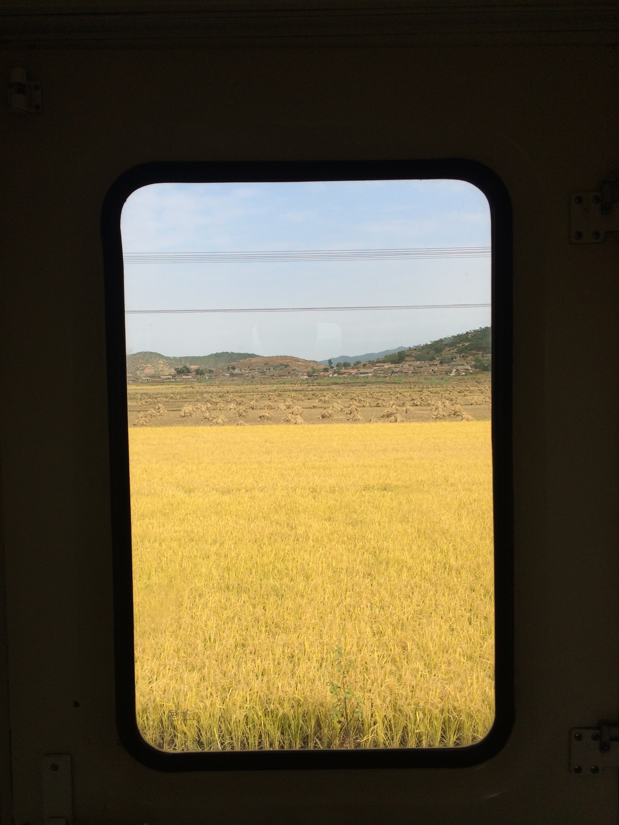
2014 Oct North Korea trip DPRK (2501)
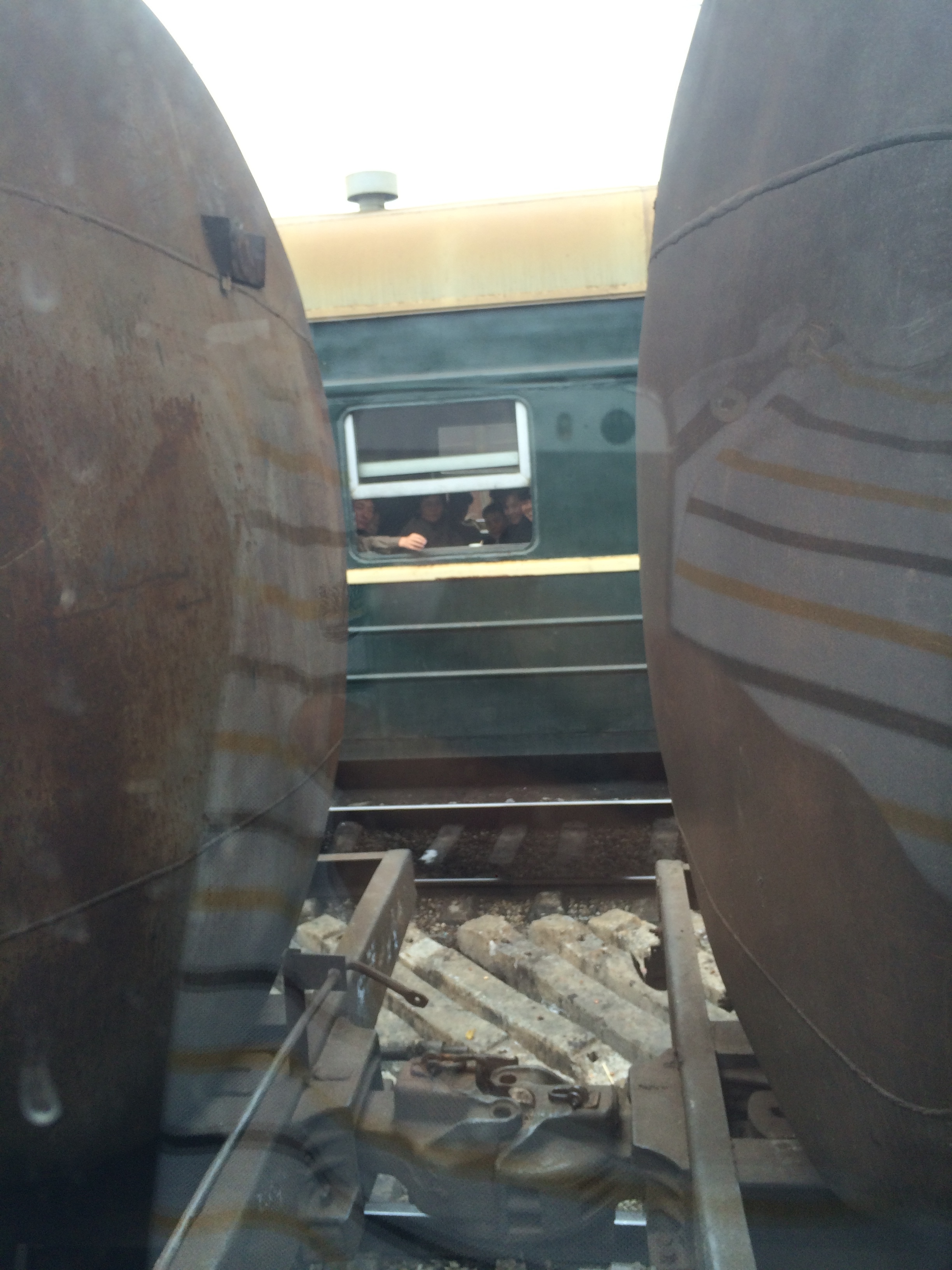
2014 Oct North Korea trip DPRK (2452)
2014 Oct North Korea trip DPRK (2502)
Topographic Map of Jeongju cheongnyeon Station, Chongju, North Pyongan, North Korea
Find elevation by address:

Places near Jeongju cheongnyeon Station, Chongju, North Pyongan, North Korea:
Chongju
Unam Station
Kusong
North Pyongan
Sinanju Cheongnyeon Station
Mundeok Station
Anju
Kaechon
Sunchŏn
Hyangsan
Hyangsan Hotel
Tokchon
Mount Myohyang
Huichon
Chagang
Recent Searches:
- Elevation of Corso Fratelli Cairoli, 35, Macerata MC, Italy
- Elevation of Tallevast Rd, Sarasota, FL, USA
- Elevation of 4th St E, Sonoma, CA, USA
- Elevation of Black Hollow Rd, Pennsdale, PA, USA
- Elevation of Oakland Ave, Williamsport, PA, USA
- Elevation of Pedrógão Grande, Portugal
- Elevation of Klee Dr, Martinsburg, WV, USA
- Elevation of Via Roma, Pieranica CR, Italy
- Elevation of Tavkvetili Mountain, Georgia
- Elevation of Hartfords Bluff Cir, Mt Pleasant, SC, USA