Elevation of Chongju, North Pyongan, North Korea
Location: North Korea > North Pyongan >
Longitude: 125.206683
Latitude: 39.6975916
Elevation: 27m / 89feet
Barometric Pressure: 101KPa
Elevation Map:
Satellite Map:
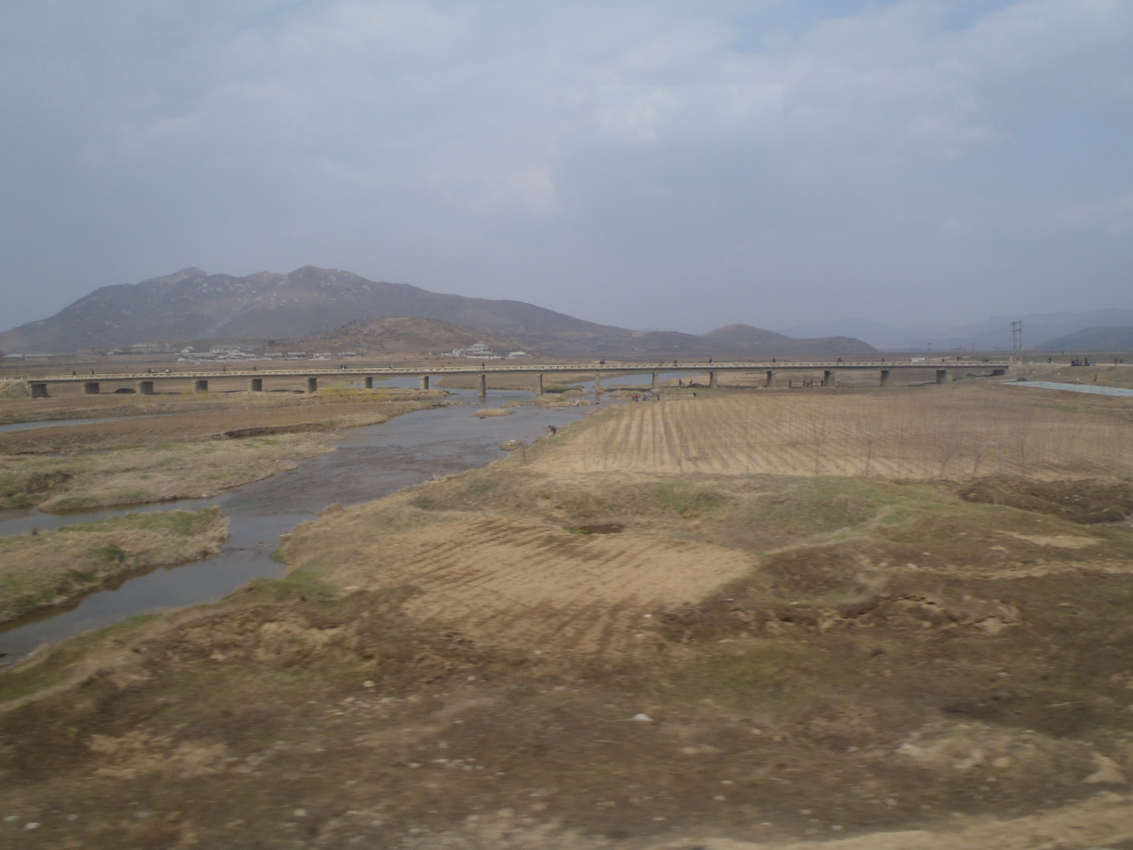
Related Photos:
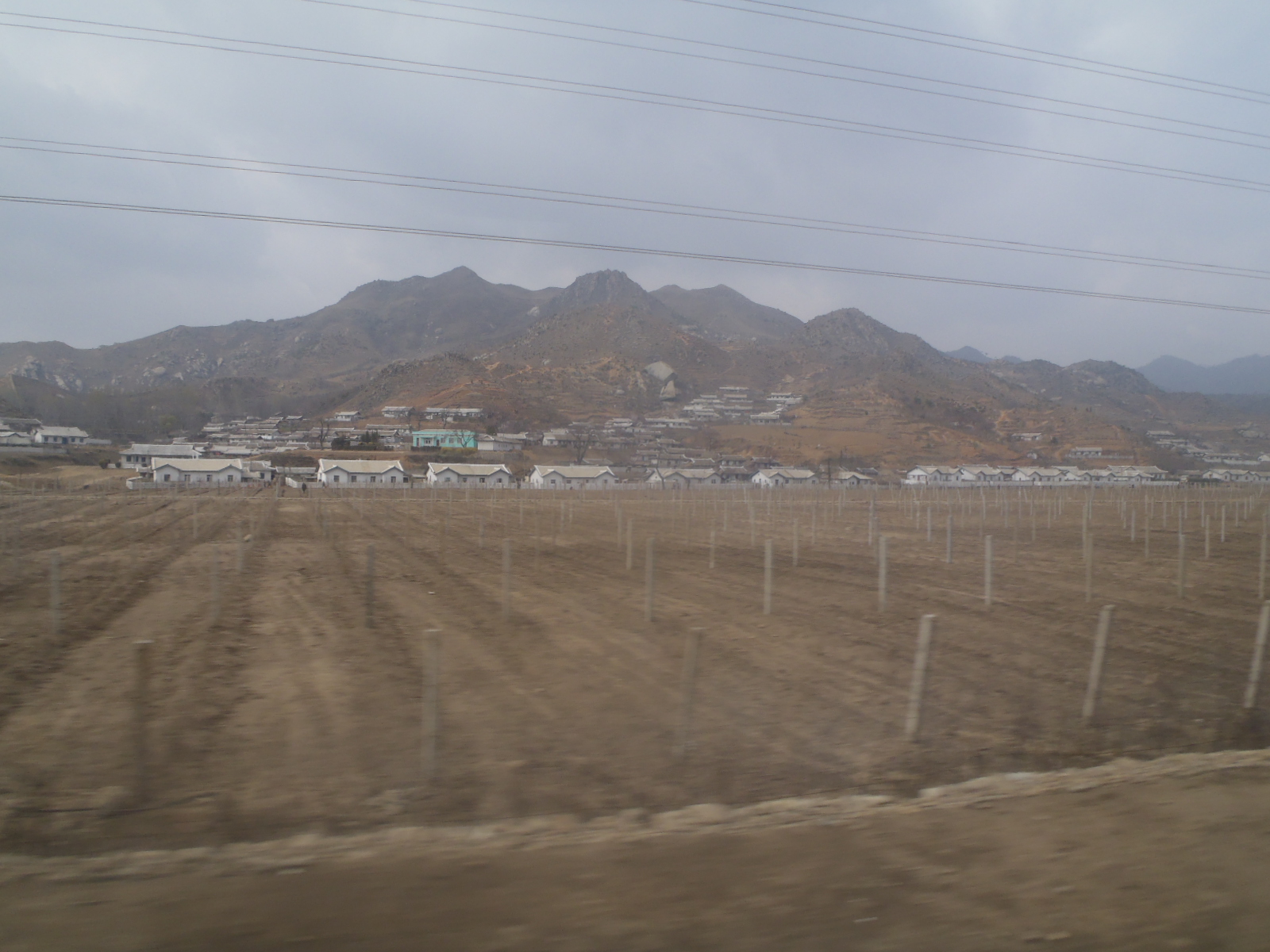
P4300209
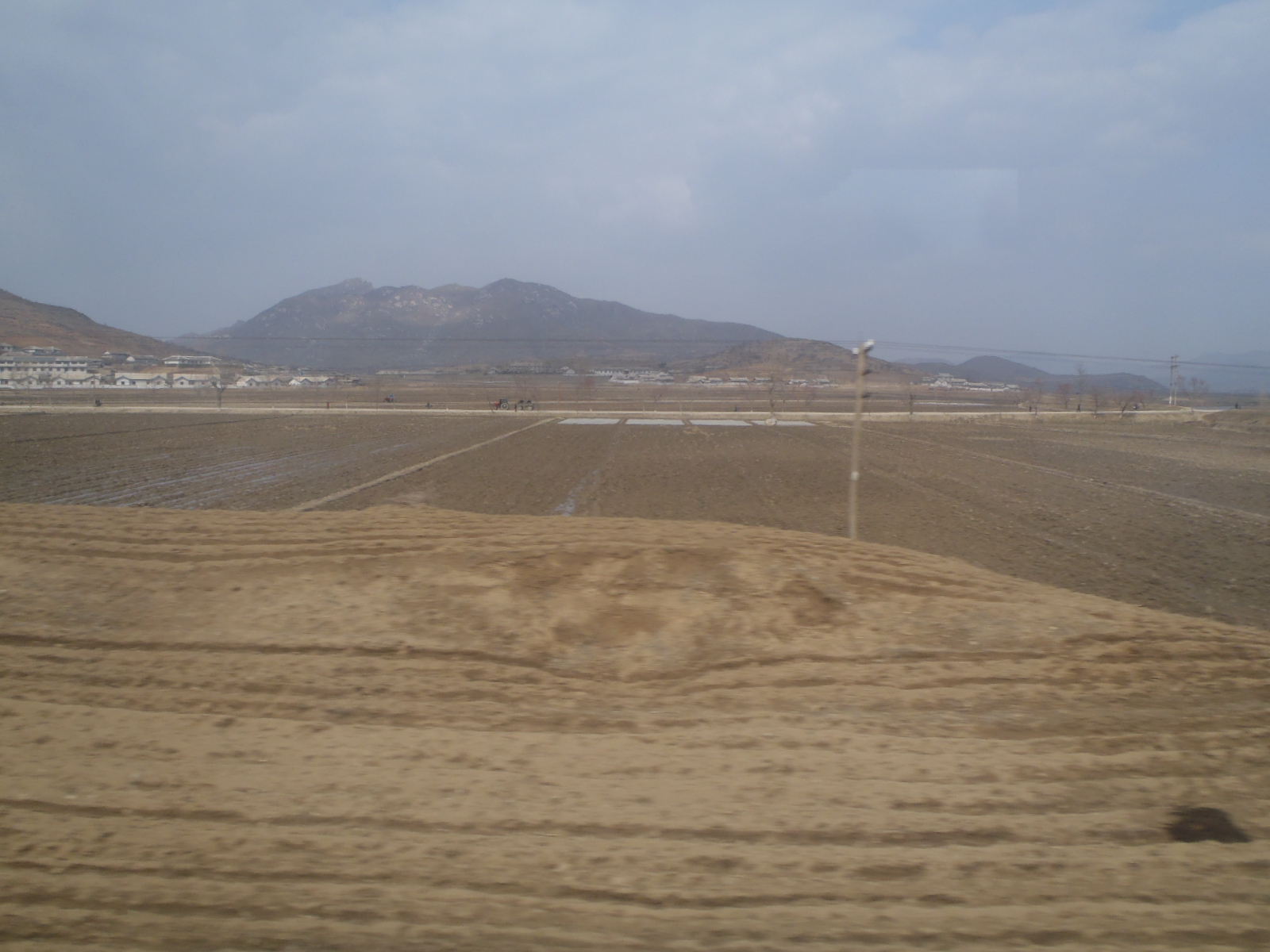
P4300212

P4300211
P4300214

DSC12109

DSC12087

DSC12110

DSC12082

DSC14033
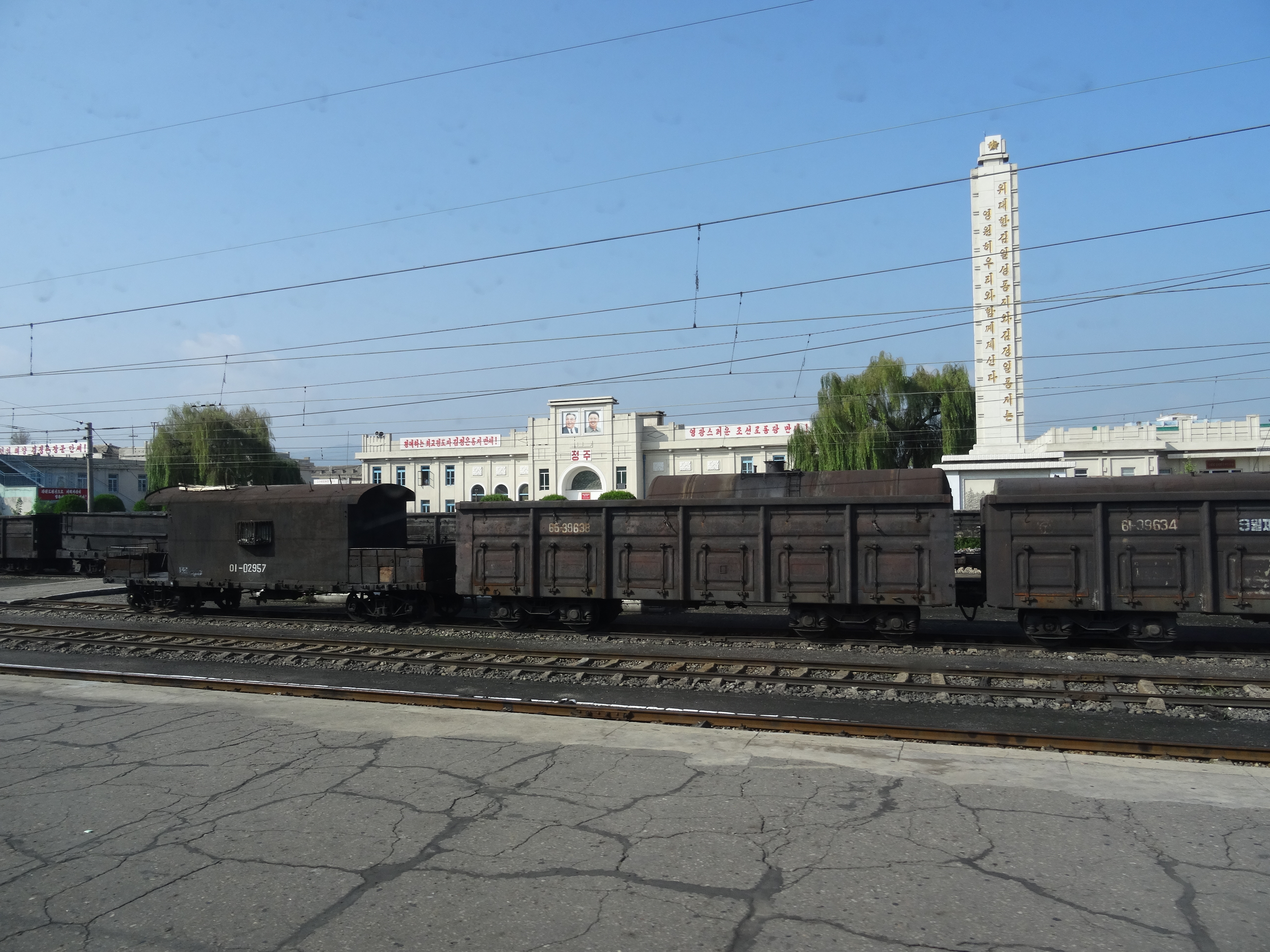
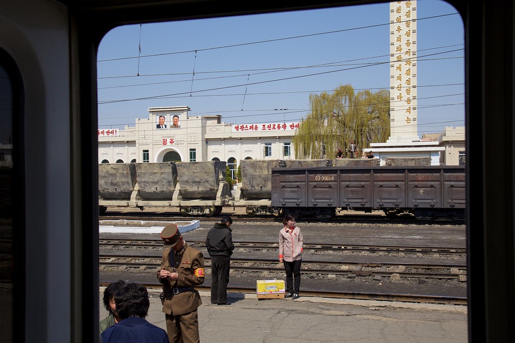
Station Chŏngju Ch'ŏngnyŏn 정주청년역
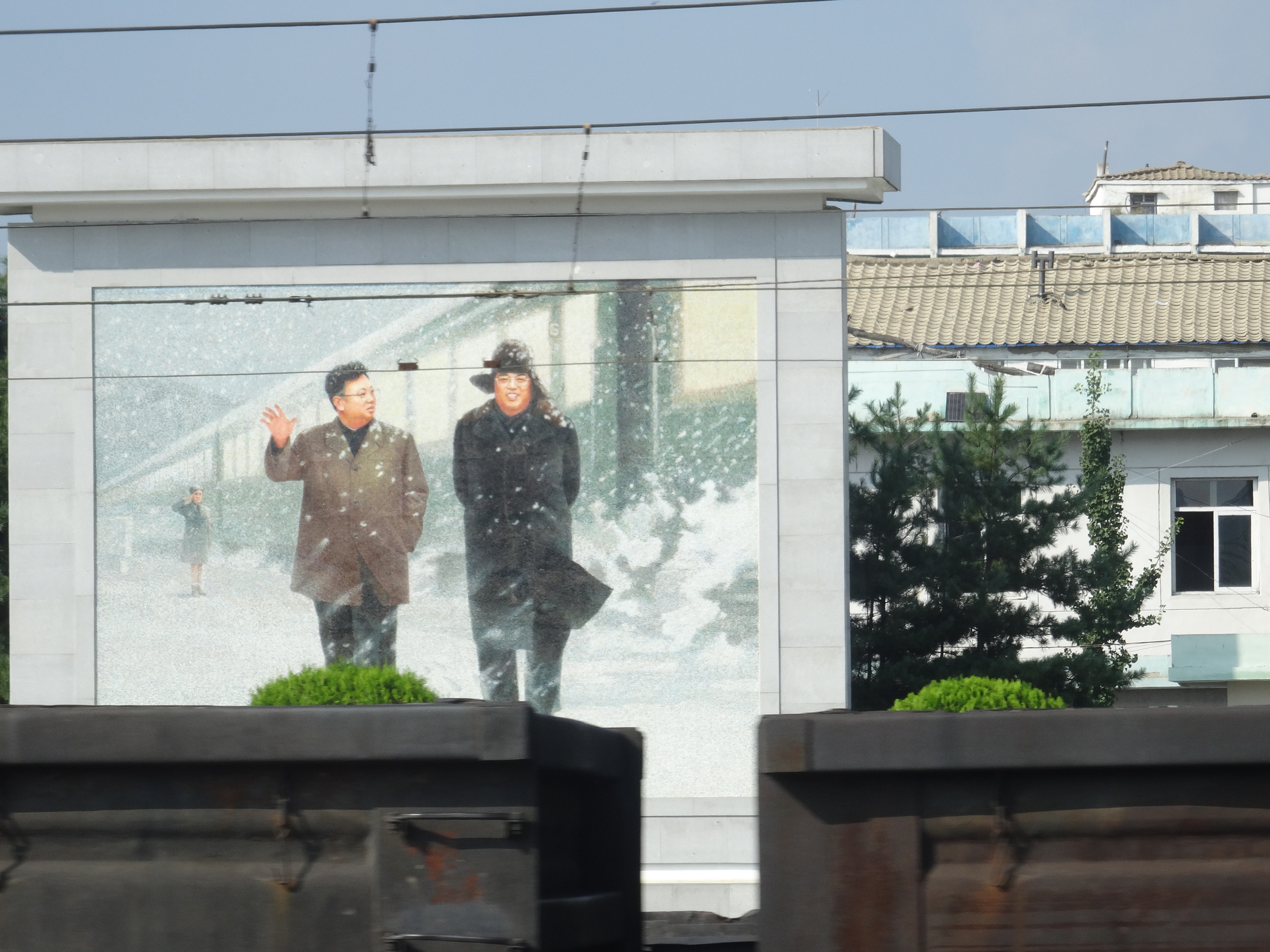
Kim Il-sung en Kim Jong-il
Corée du Nord
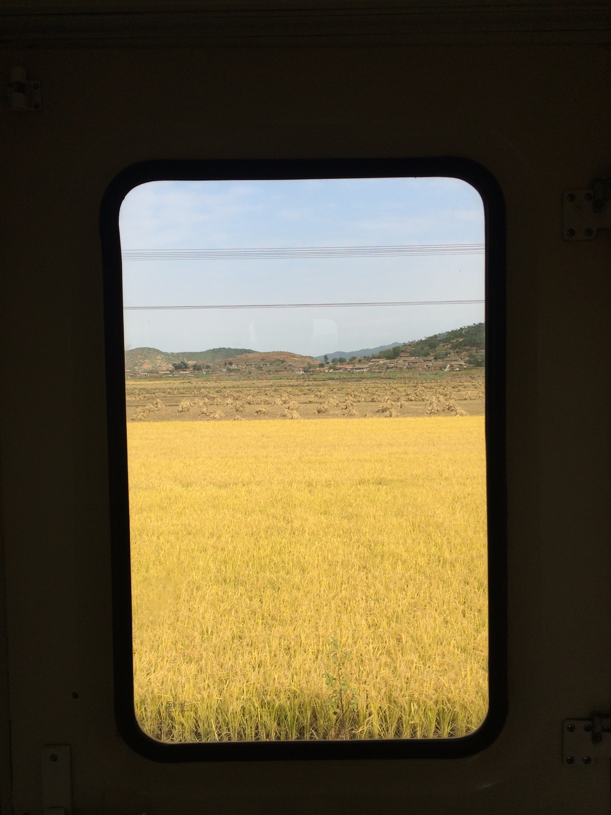
2014 Oct North Korea trip DPRK (2452)
Topographic Map of Chongju, North Pyongan, North Korea
Find elevation by address:

Places near Chongju, North Pyongan, North Korea:
Jeongju Cheongnyeon Station
Unam Station
Kusong
North Pyongan
Sinanju Cheongnyeon Station
Mundeok Station
Anju
Kaechon
Sunchŏn
Hyangsan
Hyangsan Hotel
Tokchon
Mount Myohyang
Huichon
Chagang
Recent Searches:
- Elevation of Corso Fratelli Cairoli, 35, Macerata MC, Italy
- Elevation of Tallevast Rd, Sarasota, FL, USA
- Elevation of 4th St E, Sonoma, CA, USA
- Elevation of Black Hollow Rd, Pennsdale, PA, USA
- Elevation of Oakland Ave, Williamsport, PA, USA
- Elevation of Pedrógão Grande, Portugal
- Elevation of Klee Dr, Martinsburg, WV, USA
- Elevation of Via Roma, Pieranica CR, Italy
- Elevation of Tavkvetili Mountain, Georgia
- Elevation of Hartfords Bluff Cir, Mt Pleasant, SC, USA