Elevation of Juniata Township, PA, USA
Location: United States > Pennsylvania > Bedford County >
Longitude: -78.724946
Latitude: 39.9823885
Elevation: 390m / 1280feet
Barometric Pressure: 97KPa
Elevation Map:
Satellite Map:
Related Photos:

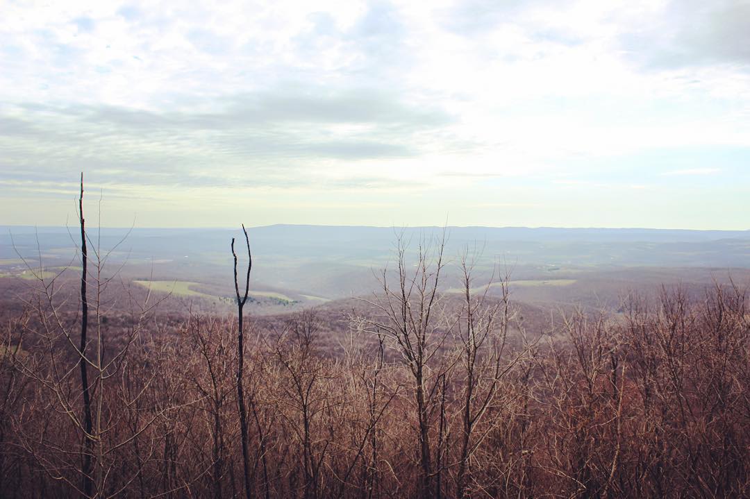
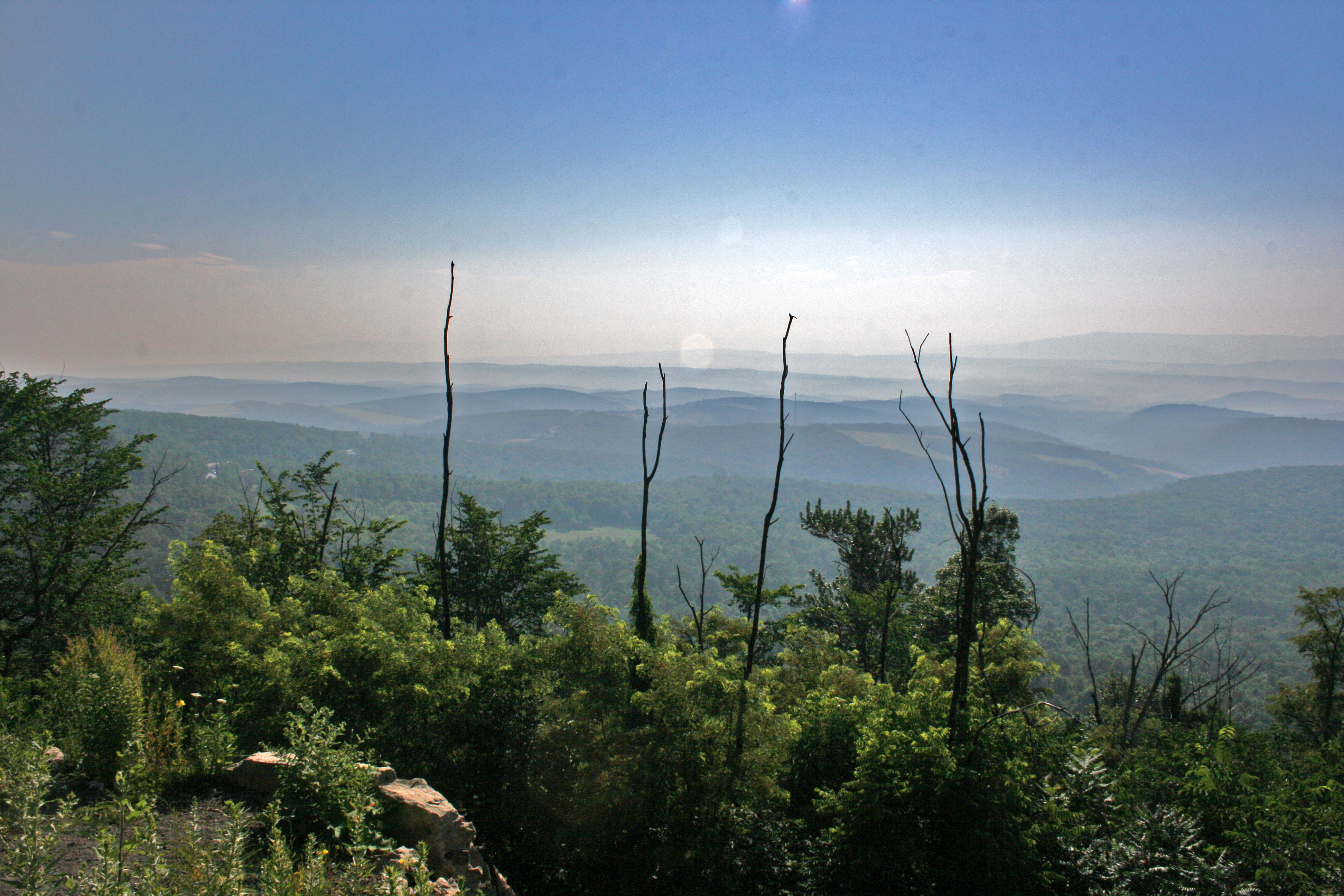
View From Madley Yutzy Cemetery

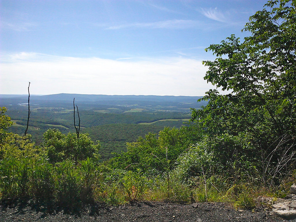
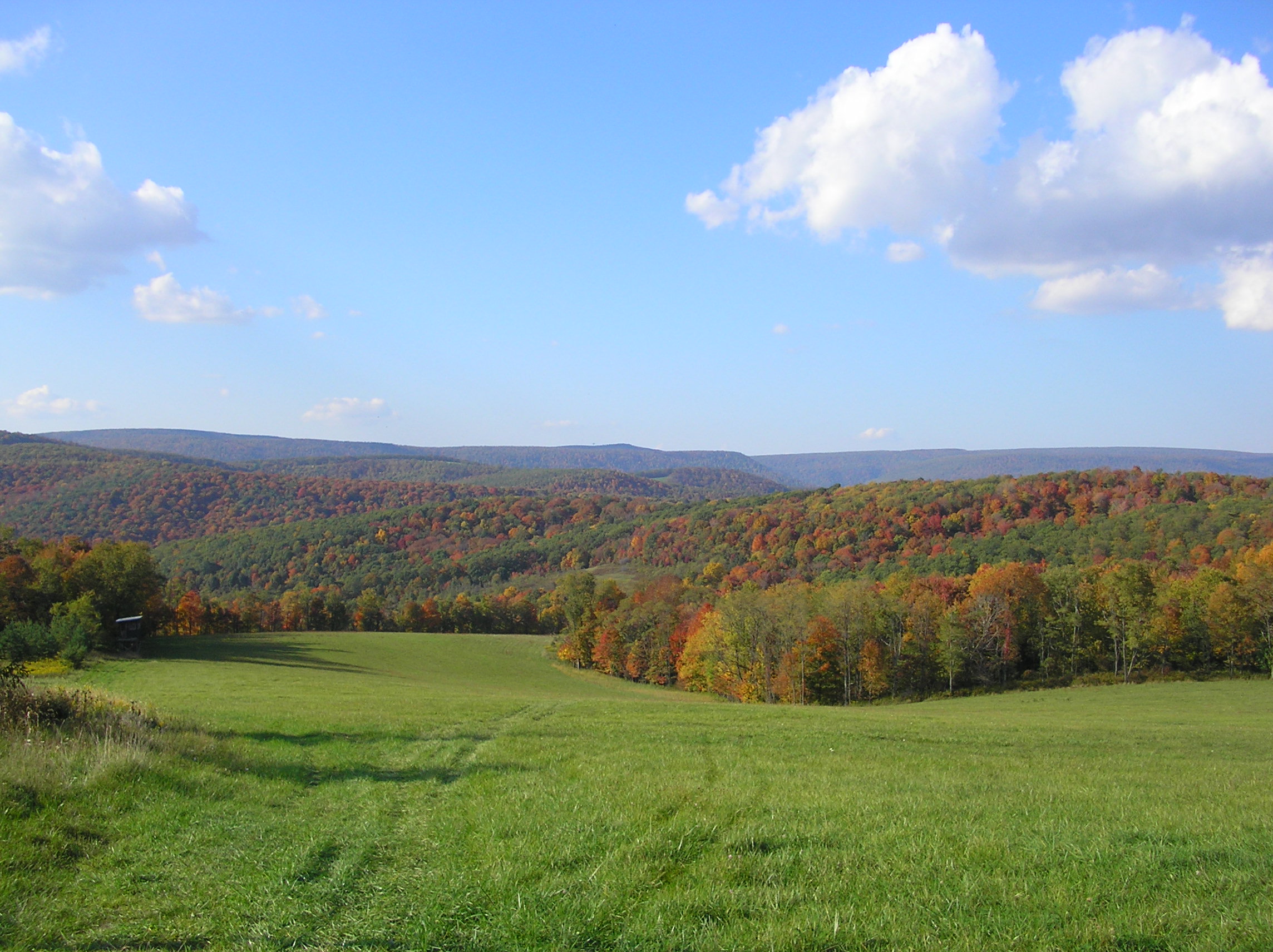
A Beautiful View

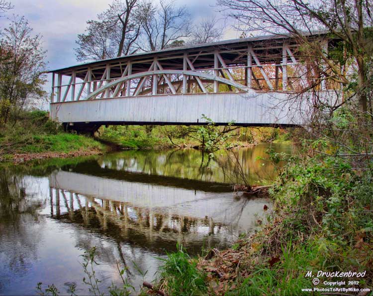
Herline Bridge -- Bedford County, Pennsylvania
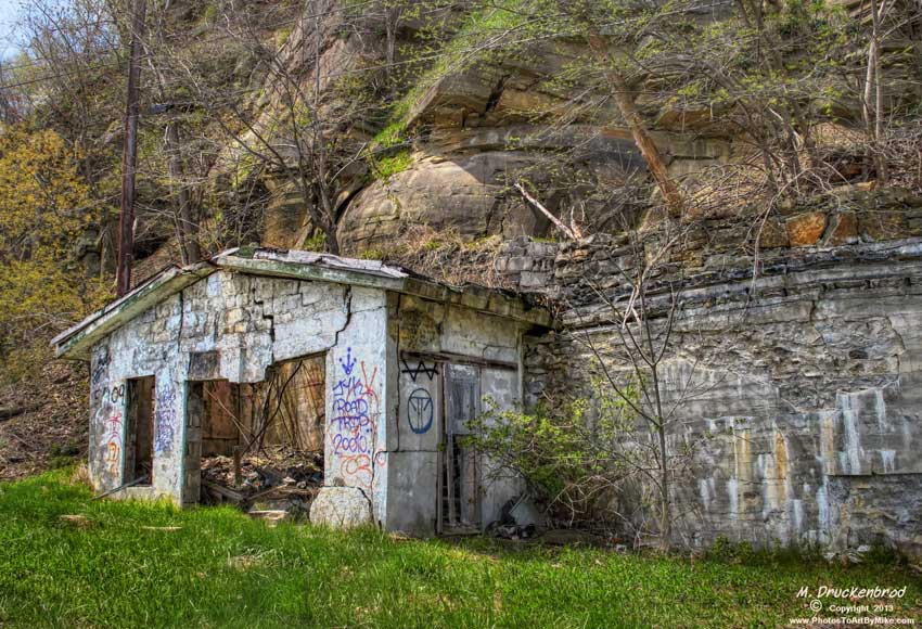
Grand View Point Service Station, Bedford Co. Pennsylvania

Shawnee in the Spring (IMGP3620)
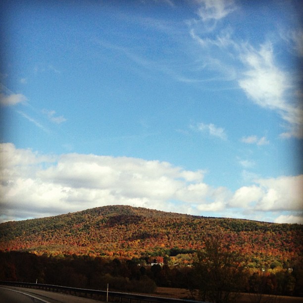
View from the road #PA #fallcolors #roadtrip
A Beautiful View

The Colvin Covered Bridge of Western Pennsylvania
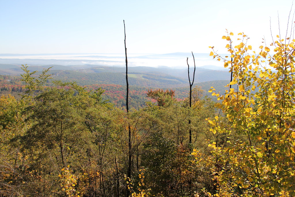
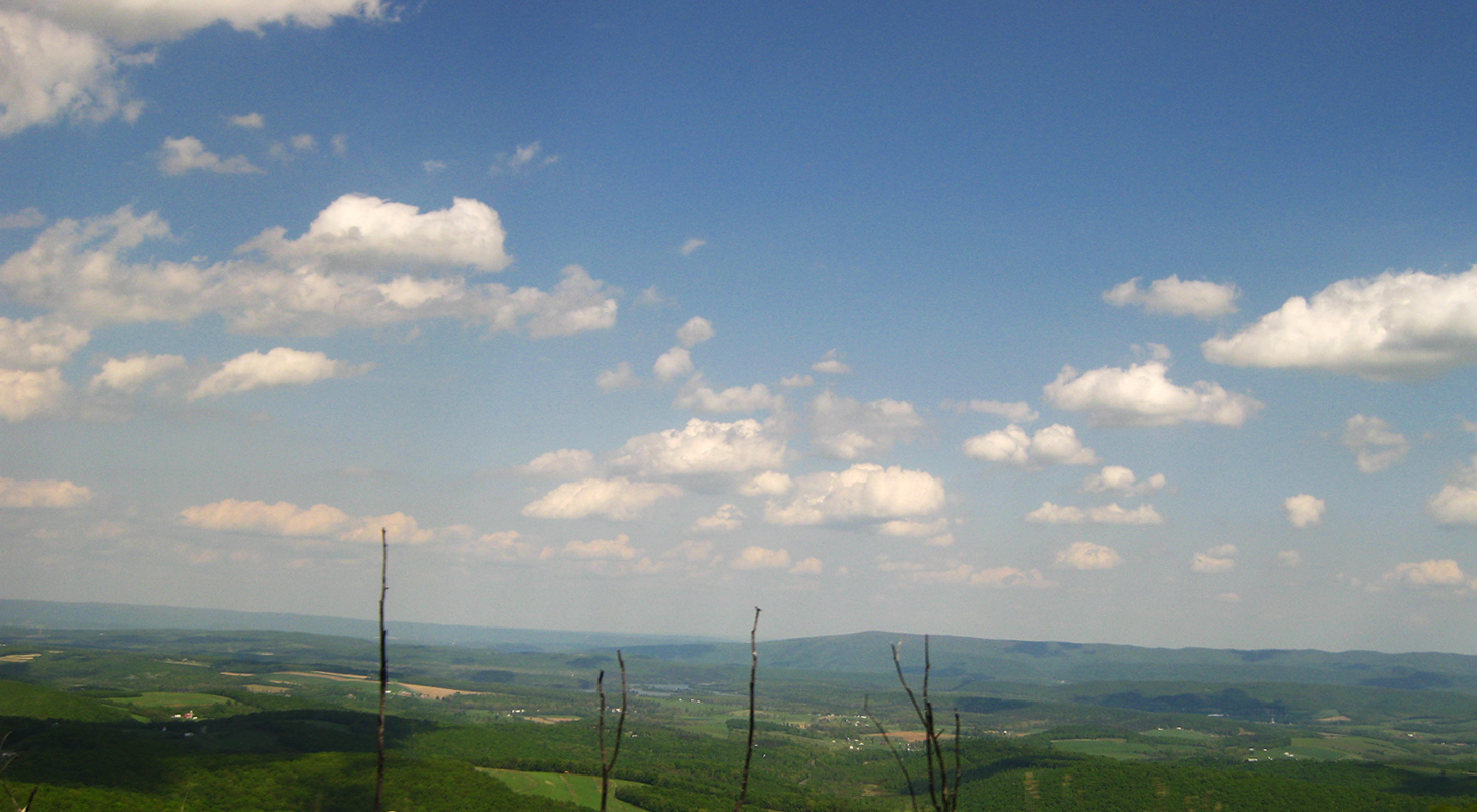
The View from Lookout Point on Mt. Ararat in the Allegheny Mountains

Mt. Ararat

Buffalo Mills PA

Grandview Ship Hotel Mural

Grand View Point Service Station, Bedford Co. PA

Herline Bridge -- Bedford County, Pennsylvania
97/366. The view from Mt. Ararat in the Allegheny Mountains, elevation 2464 ft. Such a fun adventure to get a snapshot! Yummy breakfast eats in Jennerstown along the way.
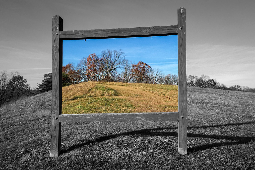
Grand View, Bedford County, PA
How many states?
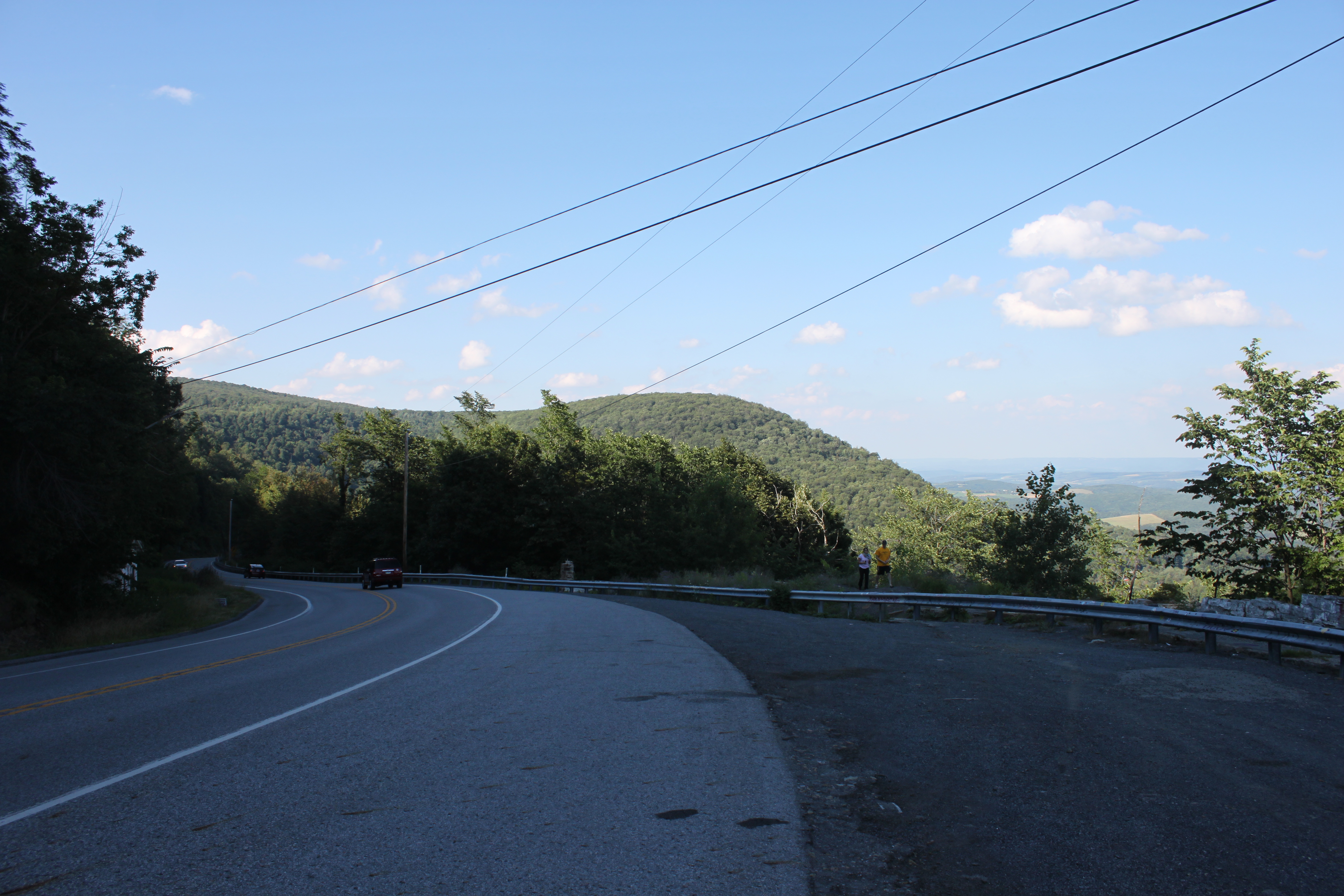
view from route 30

Jim at Lookout Point
Mount Ararat
Mt Ararat Lookout Point
The Use of Color in Contemporary Landscape Photography
Turner's Bridge, Bedford County, Pennsylvania
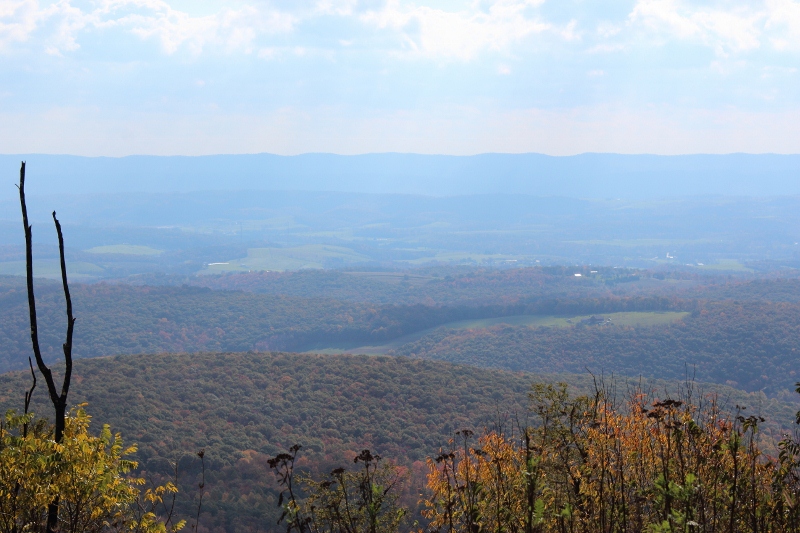
Changing of the Seasons
Shawnee State Park
PA countryside
Pennsylvania's Laurel Highlands as seen from the Historical Lincoln Highway Rt30 W
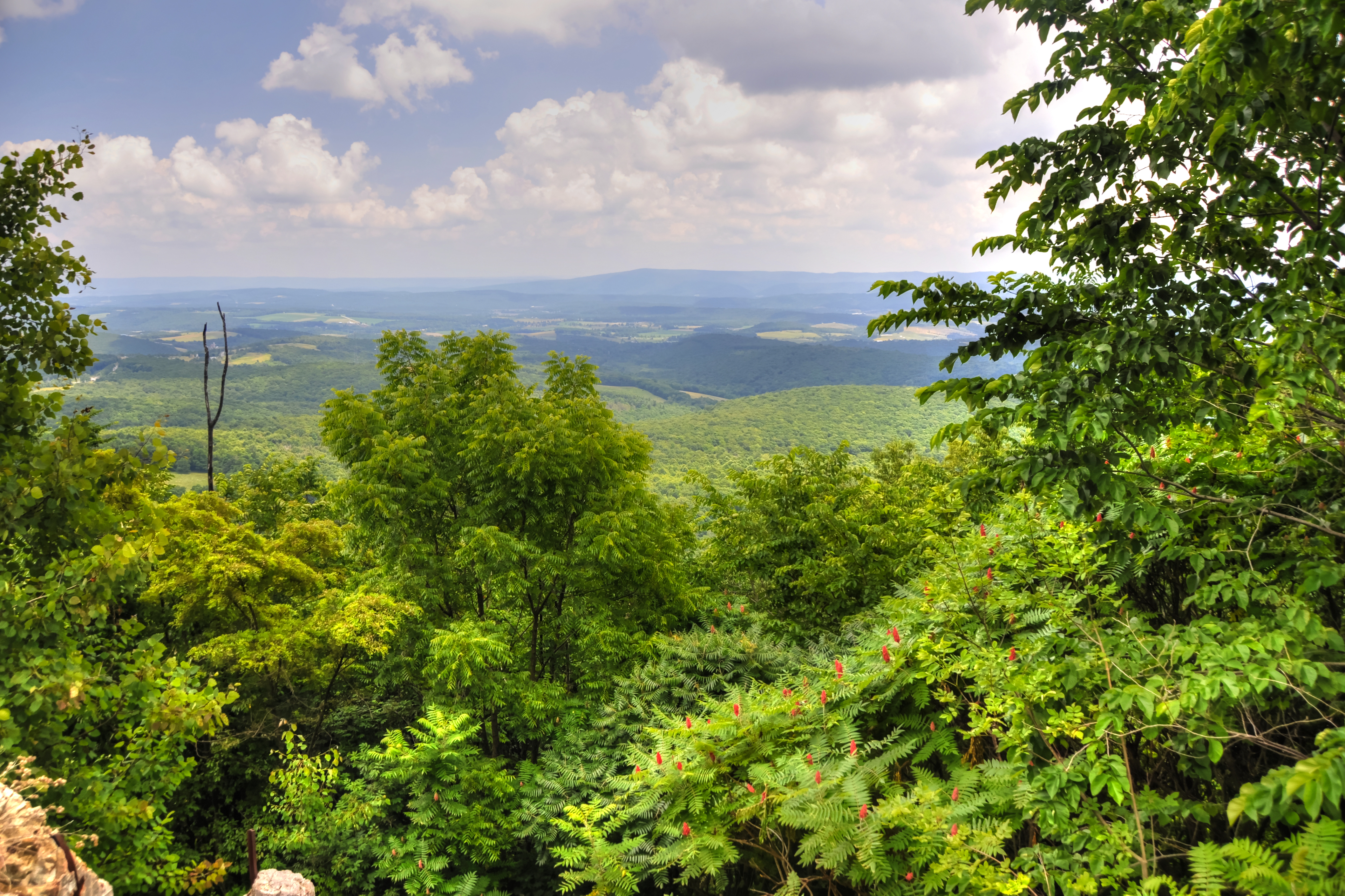
Lookout Point, Allegheny Mountains, Pennsylvania

Colvin Covered Bridge crossing Shawnee Creek in Bedford County, PA
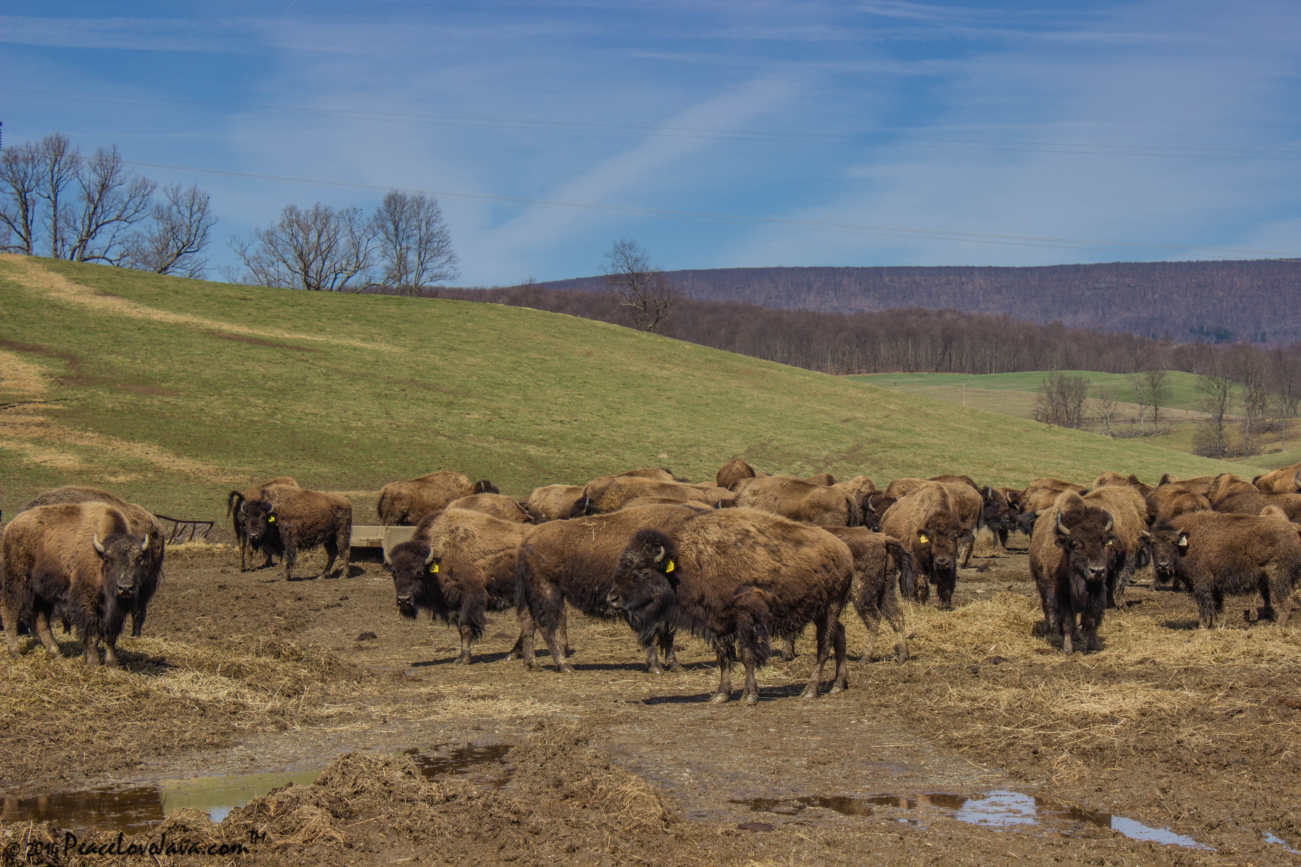
Where the Buffalo Roam

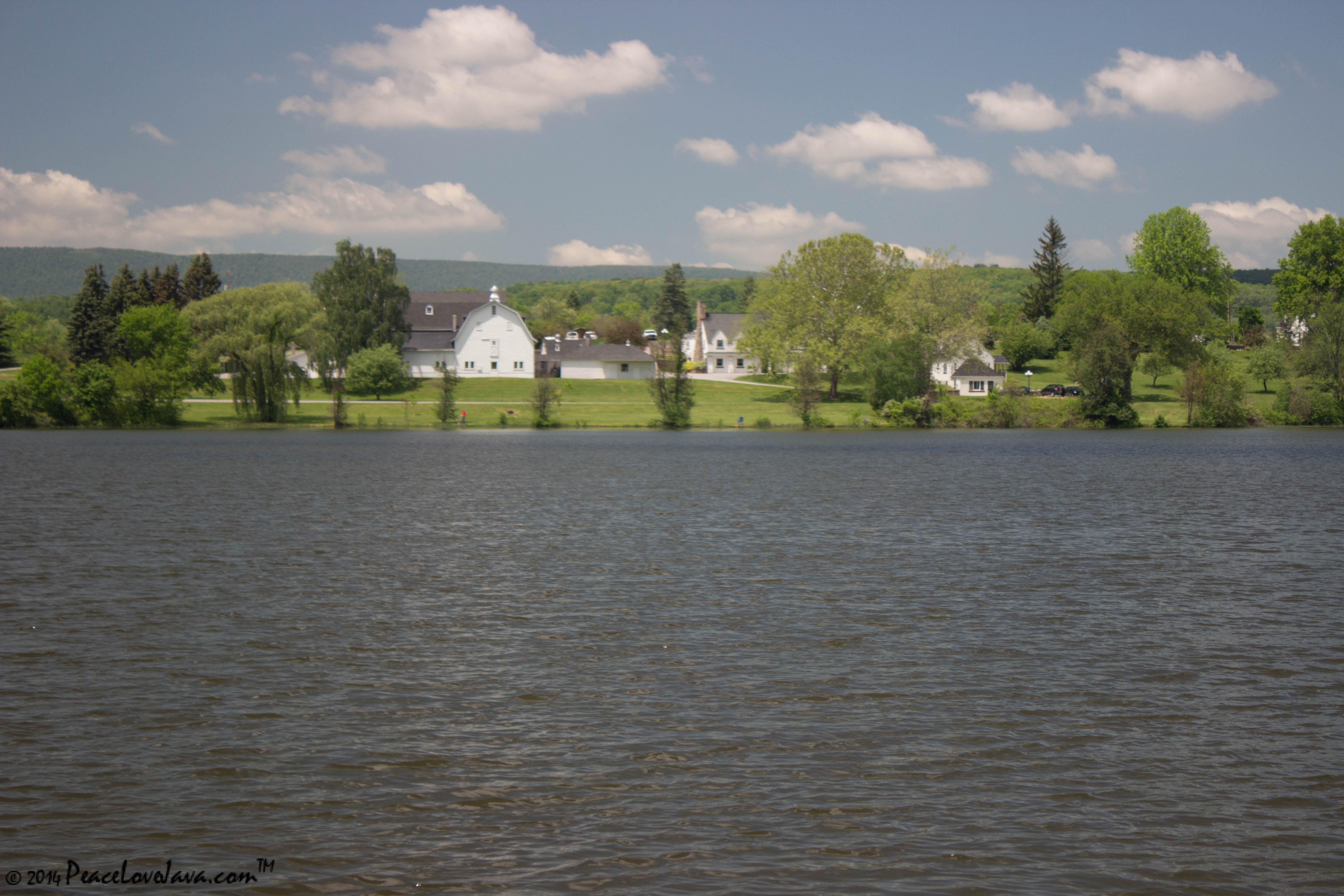
private beach

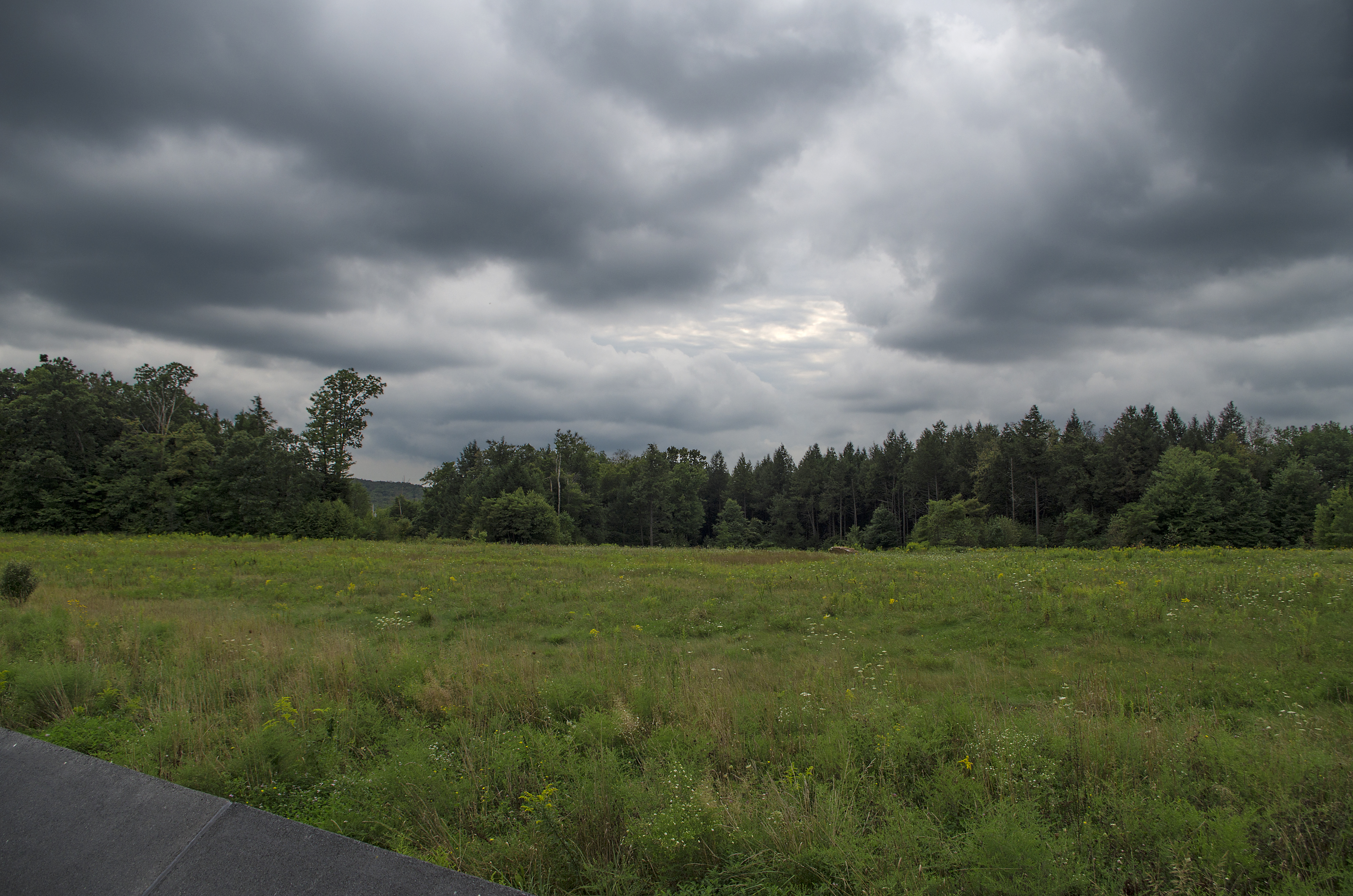
Storm clouds move in, reflected in the lake at Shawnee State Park, Pennsylvania.

Snowy Shawnee
along the PA Turnpike

Bedford County, Pennsylvania

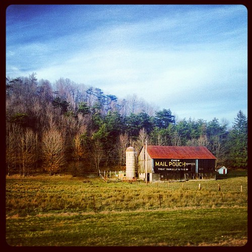
Pennsylvania Rustic Barn 092712.jpg

Wind turbines
Shawnee State Park
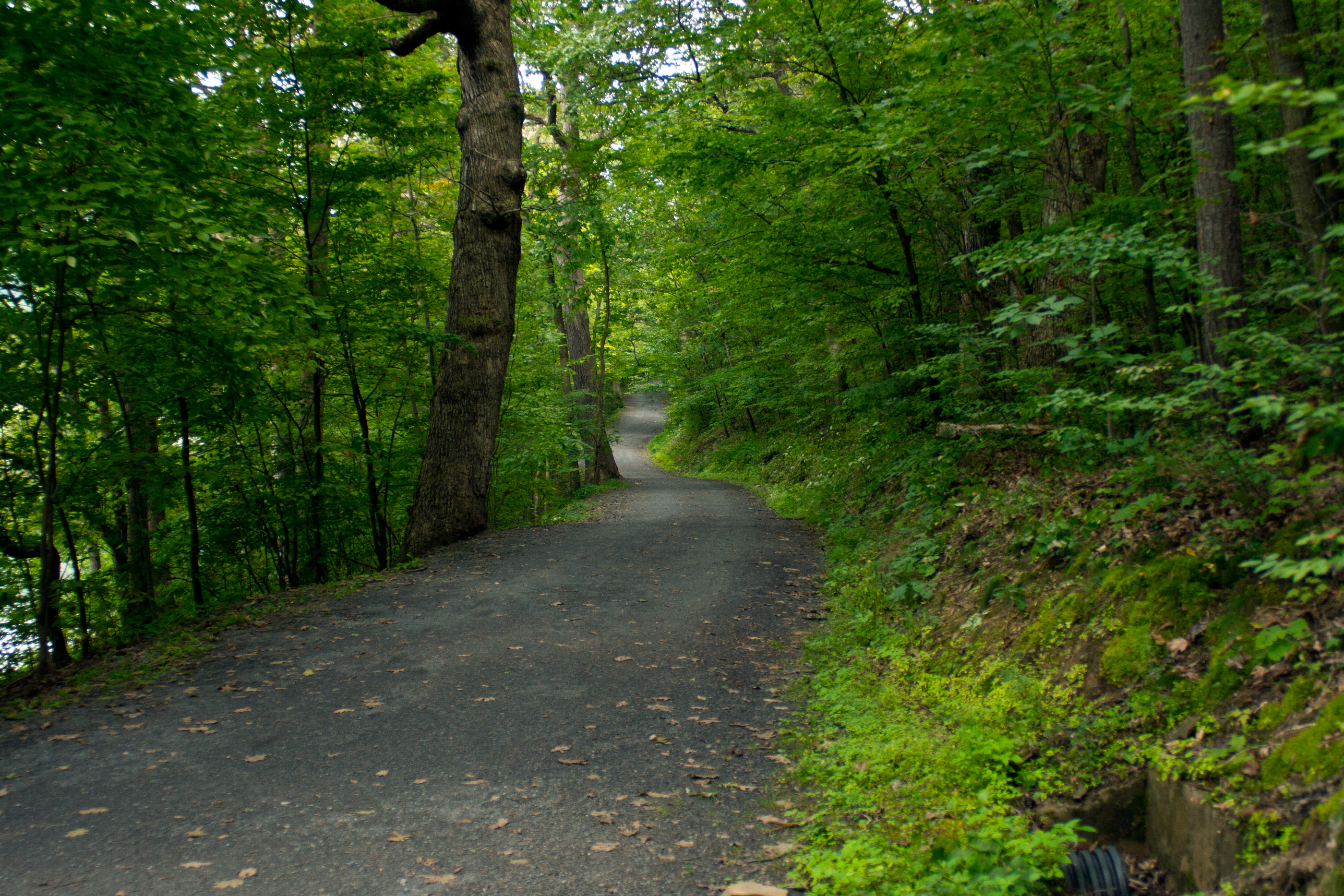
A wide bike path winds through forest at Shawnee State Park, Pennsylvania.
Flight 93 Memorial
Leaves are beginning to change along my daily commute on the PA turnpike
Topographic Map of Juniata Township, PA, USA
Find elevation by address:

Places in Juniata Township, PA, USA:
Places near Juniata Township, PA, USA:
237 White Tail Ln
641 Greenbrier Ln
551 Greenbrier Ln
631 Greenbrier Ln
631 Greenbrier Ln
Bard Hollow Rd, Buffalo Mills, PA, USA
916 Bard Hollow Rd
3564 Boozer Rd
295 Union Rd
295 Union Rd
140 Walker Rd
Buffalo Mills
Harrison Township
388 W Ridge Rd
Schellsburg
Milligans Cove Road
147 Sleepy Hollow Rd
Manns Choice
US-, Bedford, PA, USA
Point Rd, Bedford, PA, USA
Recent Searches:
- Elevation of Corso Fratelli Cairoli, 35, Macerata MC, Italy
- Elevation of Tallevast Rd, Sarasota, FL, USA
- Elevation of 4th St E, Sonoma, CA, USA
- Elevation of Black Hollow Rd, Pennsdale, PA, USA
- Elevation of Oakland Ave, Williamsport, PA, USA
- Elevation of Pedrógão Grande, Portugal
- Elevation of Klee Dr, Martinsburg, WV, USA
- Elevation of Via Roma, Pieranica CR, Italy
- Elevation of Tavkvetili Mountain, Georgia
- Elevation of Hartfords Bluff Cir, Mt Pleasant, SC, USA