Elevation of Jumla, Nepal
Location: Nepal > Western Region > Karnali >
Longitude: 82.12784
Latitude: 29.2787765
Elevation: 2560m / 8399feet
Barometric Pressure: 74KPa
Elevation Map:
Satellite Map:
Related Photos:
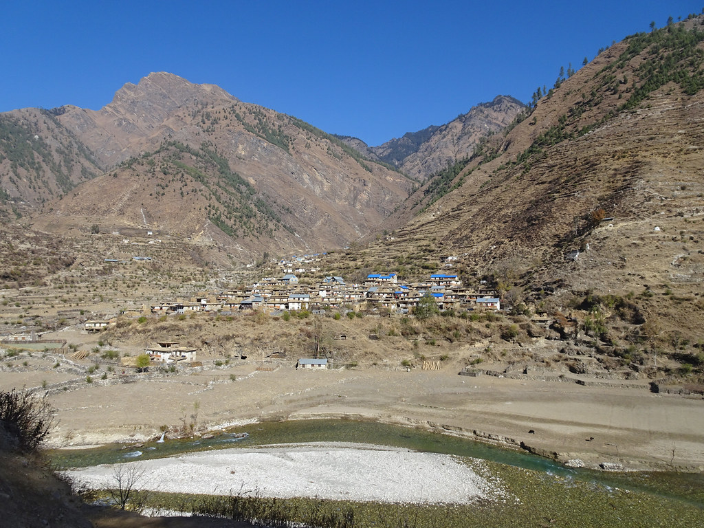
Mugu_2680 Tallo Lorpa
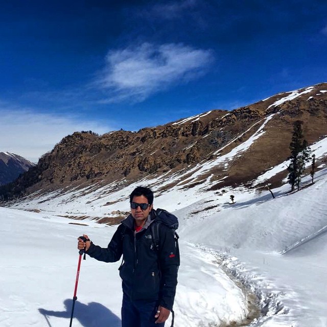
Extremely outstanding
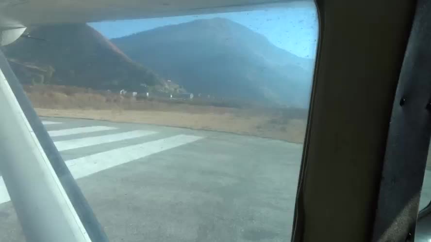
Mugu_2686 Take-off from Jumla

Mugu_2679 Woman carrying Winter Feed

Gallows traction

_DSC2924.jpg
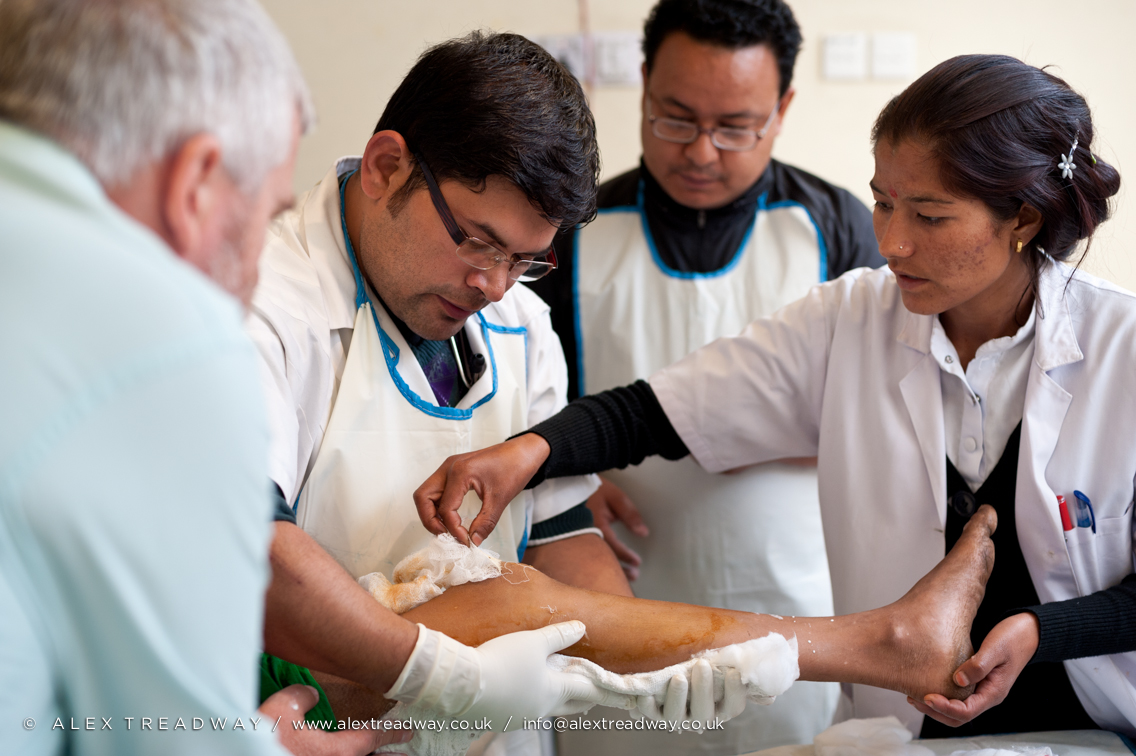
Infected Patella

_DSC2726.jpg

Gallows traction

_DSC2681.jpg
Topographic Map of Jumla, Nepal
Find elevation by address:

Places near Jumla, Nepal:
Sanigaun
Tatopani
Sinja Valley Hotel, Narakot
Lihi
Mugu
Nagma Bazar
Rowa
Rara Lake
Rara
Phoi Mahadev
Karnali
Chilkhaya
Mid-western Region
Sarmi
Rimi
Narku
Salleri
Manma
Kaigaun
Kotbada
Recent Searches:
- Elevation of Corso Fratelli Cairoli, 35, Macerata MC, Italy
- Elevation of Tallevast Rd, Sarasota, FL, USA
- Elevation of 4th St E, Sonoma, CA, USA
- Elevation of Black Hollow Rd, Pennsdale, PA, USA
- Elevation of Oakland Ave, Williamsport, PA, USA
- Elevation of Pedrógão Grande, Portugal
- Elevation of Klee Dr, Martinsburg, WV, USA
- Elevation of Via Roma, Pieranica CR, Italy
- Elevation of Tavkvetili Mountain, Georgia
- Elevation of Hartfords Bluff Cir, Mt Pleasant, SC, USA