Elevation of Manma, Nepal
Location: Nepal > Western Region > Karnali >
Longitude: 81.614468
Latitude: 29.1436415
Elevation: 1802m / 5912feet
Barometric Pressure: 81KPa
Elevation Map:
Satellite Map:
Related Photos:
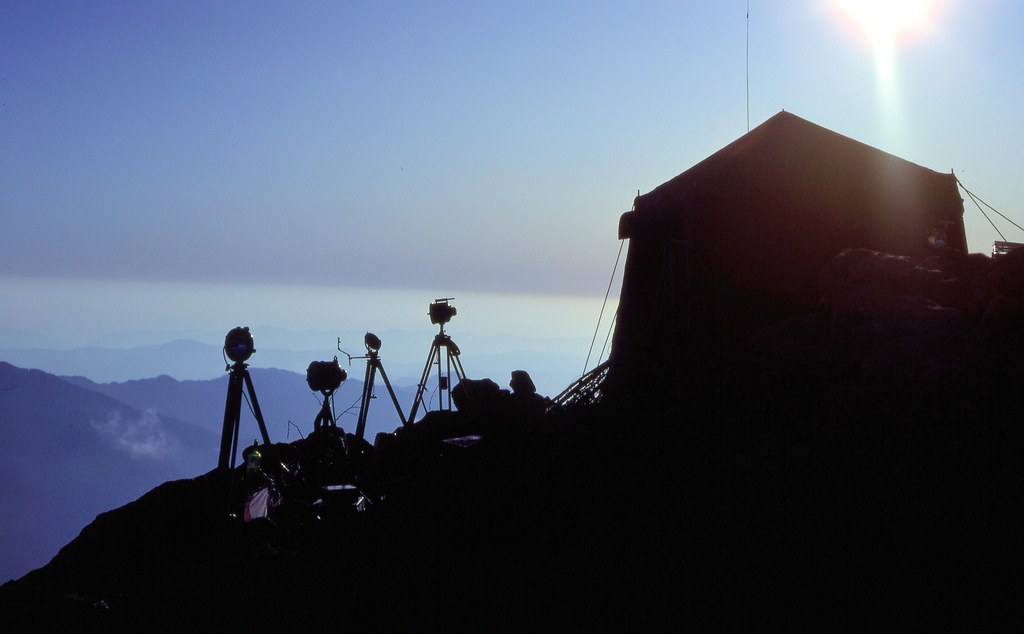
Chuli Lekh astro station silhouette
Topographic Map of Manma, Nepal
Find elevation by address:

Places near Manma, Nepal:
Kotbada
Dailekh
Chilkhaya
Phoi Mahadev
Nagma Bazar
Salleri
Lihi
Mathillo Dungeshwor Bazar, Dailekh
Sinja Valley Hotel, Narakot
Tatopani
Sanigaun
Jumla
Rara
Mugu
Rara Lake
Surkhet
Bheri
Rowa
Rukum Chaurjahari Airport
Mid-western Region
Recent Searches:
- Elevation of Corso Fratelli Cairoli, 35, Macerata MC, Italy
- Elevation of Tallevast Rd, Sarasota, FL, USA
- Elevation of 4th St E, Sonoma, CA, USA
- Elevation of Black Hollow Rd, Pennsdale, PA, USA
- Elevation of Oakland Ave, Williamsport, PA, USA
- Elevation of Pedrógão Grande, Portugal
- Elevation of Klee Dr, Martinsburg, WV, USA
- Elevation of Via Roma, Pieranica CR, Italy
- Elevation of Tavkvetili Mountain, Georgia
- Elevation of Hartfords Bluff Cir, Mt Pleasant, SC, USA