Elevation of Rimi, Nepal
Location: Nepal > Western Region > Karnali >
Longitude: 82.5077593
Latitude: 29.1272972
Elevation: 3072m / 10079feet
Barometric Pressure: 69KPa
Elevation Map:
Satellite Map:
Related Photos:
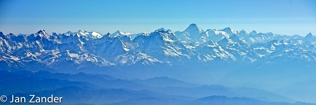
MUC__DSC2407.jpg
Topographic Map of Rimi, Nepal
Find elevation by address:

Places near Rimi, Nepal:
Narku
Sarmi
Mid-western Region
Likhu
Pahada
Kaigaun
Karnali
Juphal
Tripurakot
Jufal
Juphal Airport (vndp)
Rukum
Jumla
Banfikot
Ringmo
Shey Phoksundo Lake
Phoksundo
Dunai
Rowa
Tatopani
Recent Searches:
- Elevation of Corso Fratelli Cairoli, 35, Macerata MC, Italy
- Elevation of Tallevast Rd, Sarasota, FL, USA
- Elevation of 4th St E, Sonoma, CA, USA
- Elevation of Black Hollow Rd, Pennsdale, PA, USA
- Elevation of Oakland Ave, Williamsport, PA, USA
- Elevation of Pedrógão Grande, Portugal
- Elevation of Klee Dr, Martinsburg, WV, USA
- Elevation of Via Roma, Pieranica CR, Italy
- Elevation of Tavkvetili Mountain, Georgia
- Elevation of Hartfords Bluff Cir, Mt Pleasant, SC, USA