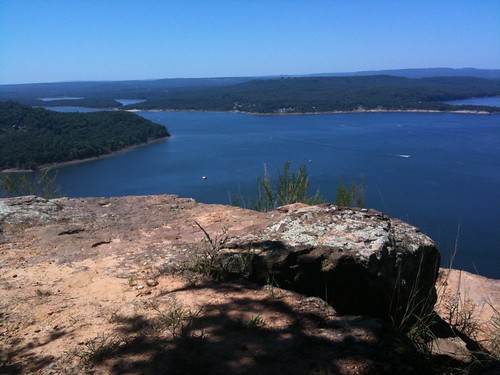
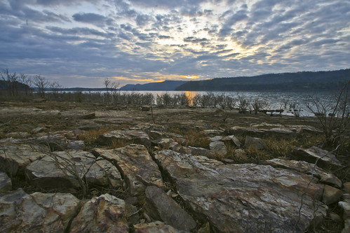
Elevation of Julie Hills Drive, Julie Hills Dr, Bradley Township, AR, USA
Location: United States > Arkansas > Van Buren County > Bradley Township > Bee Branch >
Longitude: -92.387528
Latitude: 35.4587984
Elevation: 227m / 745feet
Barometric Pressure: 99KPa
Related Photos:
Topographic Map of Julie Hills Drive, Julie Hills Dr, Bradley Township, AR, USA
Find elevation by address:

Places near Julie Hills Drive, Julie Hills Dr, Bradley Township, AR, USA:
Hwy 65 S, Bee Branch, AR, USA
Bee Branch
Bradley Township
1437 Co Rd 24
2013 Ranch Rd
AR-92, Bee Branch, AR, USA
177 Norcliff Rd
Barnett Township
AR-, Damascus, AR, USA
Rabbit Ridge, Bee Branch, AR, USA
Damascus
Batesville Mountain Road
Batesville Mountain Road
Cadron Township
49 Batesville Mountain Rd
AR-, Quitman, AR, USA
51 Batesville Mountain Rd
Cargile Township
Walker Township
43 Leonard Loop, Damascus, AR, USA
Recent Searches:
- Elevation of Corso Fratelli Cairoli, 35, Macerata MC, Italy
- Elevation of Tallevast Rd, Sarasota, FL, USA
- Elevation of 4th St E, Sonoma, CA, USA
- Elevation of Black Hollow Rd, Pennsdale, PA, USA
- Elevation of Oakland Ave, Williamsport, PA, USA
- Elevation of Pedrógão Grande, Portugal
- Elevation of Klee Dr, Martinsburg, WV, USA
- Elevation of Via Roma, Pieranica CR, Italy
- Elevation of Tavkvetili Mountain, Georgia
- Elevation of Hartfords Bluff Cir, Mt Pleasant, SC, USA


