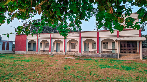
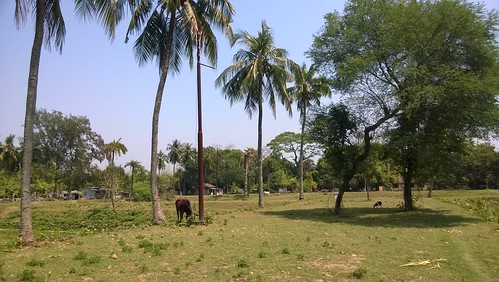
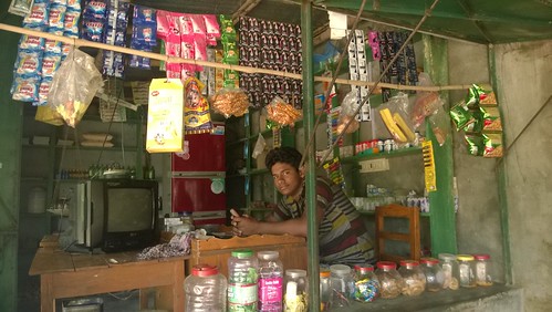
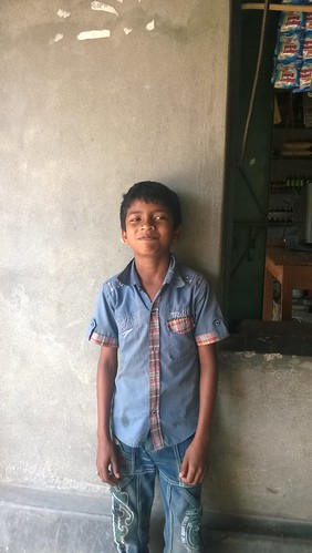
Elevation of Joyrampur, Bangladesh
Location: Bangladesh > Khulna Division > Chuadanga District >
Longitude: 88.7921014
Latitude: 23.5796721
Elevation: 18m / 59feet
Barometric Pressure: 101KPa
Related Photos:
Topographic Map of Joyrampur, Bangladesh
Find elevation by address:

Places near Joyrampur, Bangladesh:
Chuadanga District
Damurhuda Upazila
Chuadanga
Chuadanga Sadar Upazila
Alamdanga Upazila
Alamdanga P. S.
Alamdanga
Meherpur Sadar Upazila
Gangni
Meherpur
Meherpur District
Harinakunda Upazila
Tribeni
Jhenaidah Sadar Upazila
Jhenaidah District
Shantidanga
Sreemantapur
Kushtia District
Kushtia District Stadium
Shailkupa
Recent Searches:
- Elevation of Corso Fratelli Cairoli, 35, Macerata MC, Italy
- Elevation of Tallevast Rd, Sarasota, FL, USA
- Elevation of 4th St E, Sonoma, CA, USA
- Elevation of Black Hollow Rd, Pennsdale, PA, USA
- Elevation of Oakland Ave, Williamsport, PA, USA
- Elevation of Pedrógão Grande, Portugal
- Elevation of Klee Dr, Martinsburg, WV, USA
- Elevation of Via Roma, Pieranica CR, Italy
- Elevation of Tavkvetili Mountain, Georgia
- Elevation of Hartfords Bluff Cir, Mt Pleasant, SC, USA

