Elevation of Harinakunda Upazila, Bangladesh
Location: Bangladesh > Khulna Division > Jhenaidah District >
Longitude: 89.0752499
Latitude: 23.6415283
Elevation: 10m / 33feet
Barometric Pressure: 101KPa
Elevation Map:
Satellite Map:
Related Photos:

AdobePhotoshopExpress_0d7fc218abcc40cf8e776427fddaffcc

Pakhi Van Chor Pic

Jhenidah photo 31-01-20

Jhenidah blanket distribution Photo 30-12-19

Jhenidah pourosova meeting Photo 11-12-19

Jhenidah arrest Photo 02-11-19 (2)

Jhenidah arrest Photo 02-11-19 (1)

Jhenidah arrest Photo 02-11-19 (3)

Jhenidah arrest with yaba Photo 02-11-19 (1)
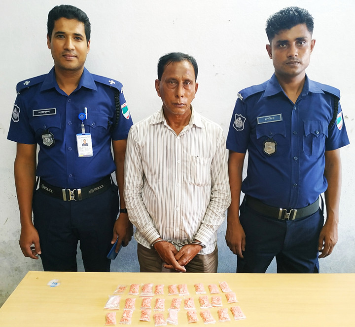
Jhenidah arrest with yaba Photo 02-11-19 (2)

Beautiful countryside of Bangladesh

Jhenidah Hijra human chai photo

Towards The Sun

Jhenidah meeting for 333 call center Photo 08-07-19

Jhenaidah Farmer Training Photo 12-02-19

Jhenidah municipality Contract sign Photo 02-02-19

Jhenaidah photo 14-01-19

Jhenidah art campain Photo 25-12-18

Jhenidah Digital Bangladesh Day Photo 12-12-18

Jhenidah International Anti-Corruption Day Photo 09-12-18

Jhenidah Photo 20-11-18

Jhenidah photo 08-11-18 (2)
Topographic Map of Harinakunda Upazila, Bangladesh
Find elevation by address:

Places near Harinakunda Upazila, Bangladesh:
Tribeni
Shantidanga
Jhenaidah District
Jhenaidah Sadar Upazila
Shailkupa
Alamdanga P. S.
Alamdanga Upazila
Alamdanga
Chuadanga Sadar Upazila
Chuadanga
Sreemantapur
Chuadanga District
Kushtia District
Kushtia District Stadium
Joyrampur
Damurhuda Upazila
Gangni
Magura District
Meherpur District
Meherpur Sadar Upazila
Recent Searches:
- Elevation of Corso Fratelli Cairoli, 35, Macerata MC, Italy
- Elevation of Tallevast Rd, Sarasota, FL, USA
- Elevation of 4th St E, Sonoma, CA, USA
- Elevation of Black Hollow Rd, Pennsdale, PA, USA
- Elevation of Oakland Ave, Williamsport, PA, USA
- Elevation of Pedrógão Grande, Portugal
- Elevation of Klee Dr, Martinsburg, WV, USA
- Elevation of Via Roma, Pieranica CR, Italy
- Elevation of Tavkvetili Mountain, Georgia
- Elevation of Hartfords Bluff Cir, Mt Pleasant, SC, USA