Elevation of Jonesburg, MO, USA
Location: United States > Missouri > Montgomery County > Bear Creek Township >
Longitude: -91.305989
Latitude: 38.8533773
Elevation: 276m / 906feet
Barometric Pressure: 98KPa
Elevation Map:
Satellite Map:
Related Photos:
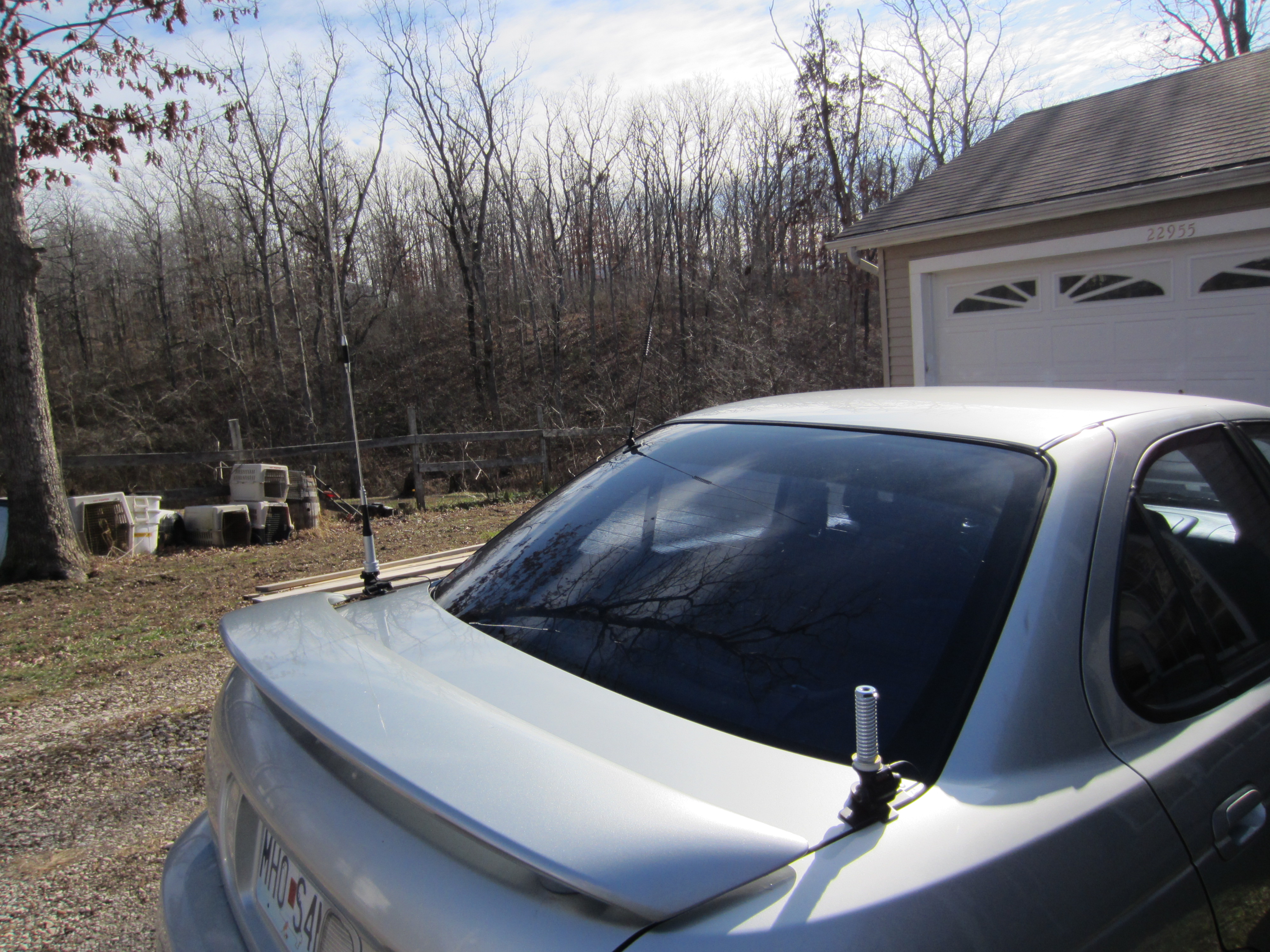
Sentra Rear View
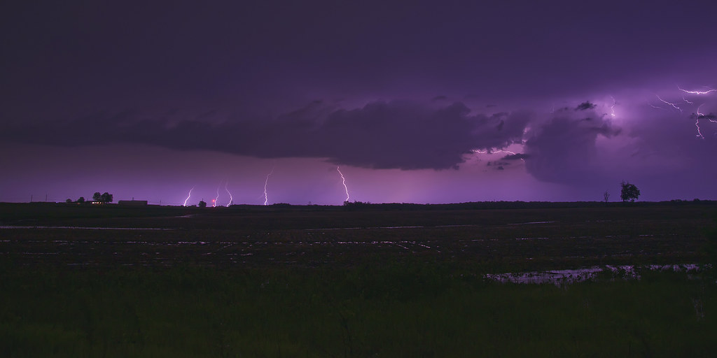
Electric Nights

Electric Traffic
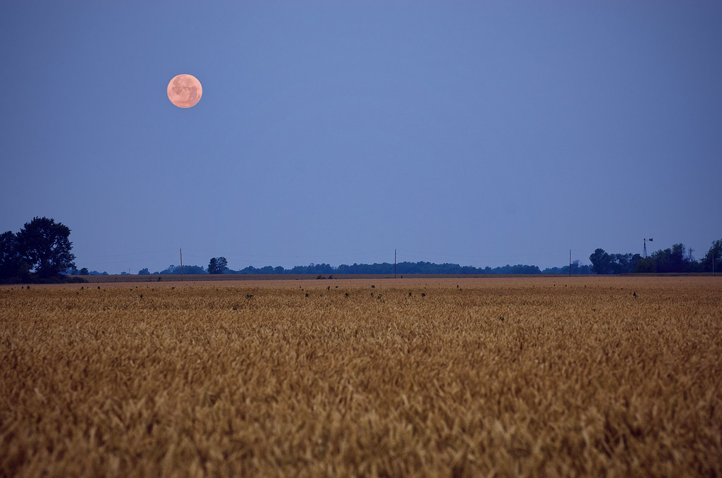
Supermoon Over Missouri
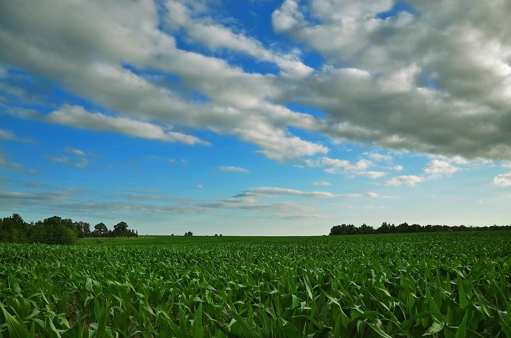
Field of Corn
Fox on the Rocks
Scattered Showers

Fishing Quarry
Missouri Glow
On the Banks of the Missouri

Bill and Willa

Bill and Willa

RoadTrip 201208230011
Lightly Frosted Missouri Morning

Fishing Quarry
NS 8757 @ Pendleton
Tree of Life

Fishing Quarry - Bill and Willa
Missouri River Bottom Sunset
Missouri River (2)
Above It All
Woods (2)
Topographic Map of Jonesburg, MO, USA
Find elevation by address:

Places in Jonesburg, MO, USA:
Places near Jonesburg, MO, USA:
1st St, Jonesburg, MO, USA
Sunnyside Auto Salvage
Bridgeport Township
High Hill
High Hill
Bear Creek Township
Bear Creek Township
State Hwy JJ, High Hill, MO, USA
Case
Gore Rd, Marthasville, MO, USA
Gore
New Truxton
Pinckney Township
20237 Oak Ridge
Truxton
Warrenton Pool Park
410 S Side Ave
Warrenton
5 Market St, Truesdale, MO, USA
Truesdale
Recent Searches:
- Elevation of Corso Fratelli Cairoli, 35, Macerata MC, Italy
- Elevation of Tallevast Rd, Sarasota, FL, USA
- Elevation of 4th St E, Sonoma, CA, USA
- Elevation of Black Hollow Rd, Pennsdale, PA, USA
- Elevation of Oakland Ave, Williamsport, PA, USA
- Elevation of Pedrógão Grande, Portugal
- Elevation of Klee Dr, Martinsburg, WV, USA
- Elevation of Via Roma, Pieranica CR, Italy
- Elevation of Tavkvetili Mountain, Georgia
- Elevation of Hartfords Bluff Cir, Mt Pleasant, SC, USA