Elevation of Montgomery County, MO, USA
Location: United States > Missouri >
Longitude: -91.482148
Latitude: 38.9365599
Elevation: 252m / 827feet
Barometric Pressure: 98KPa
Elevation Map:
Satellite Map:
Related Photos:

Mossy Bluff

Evening Layers

Electric Traffic

Electric Nights
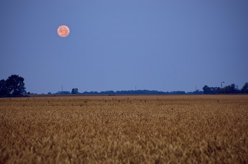
Supermoon Over Missouri

Field of Corn

Cinematic Skies

Fox on the Rocks

Evening Color

Soft Glow

A fun morning at Graham Cave State Park.

Scattered Showers
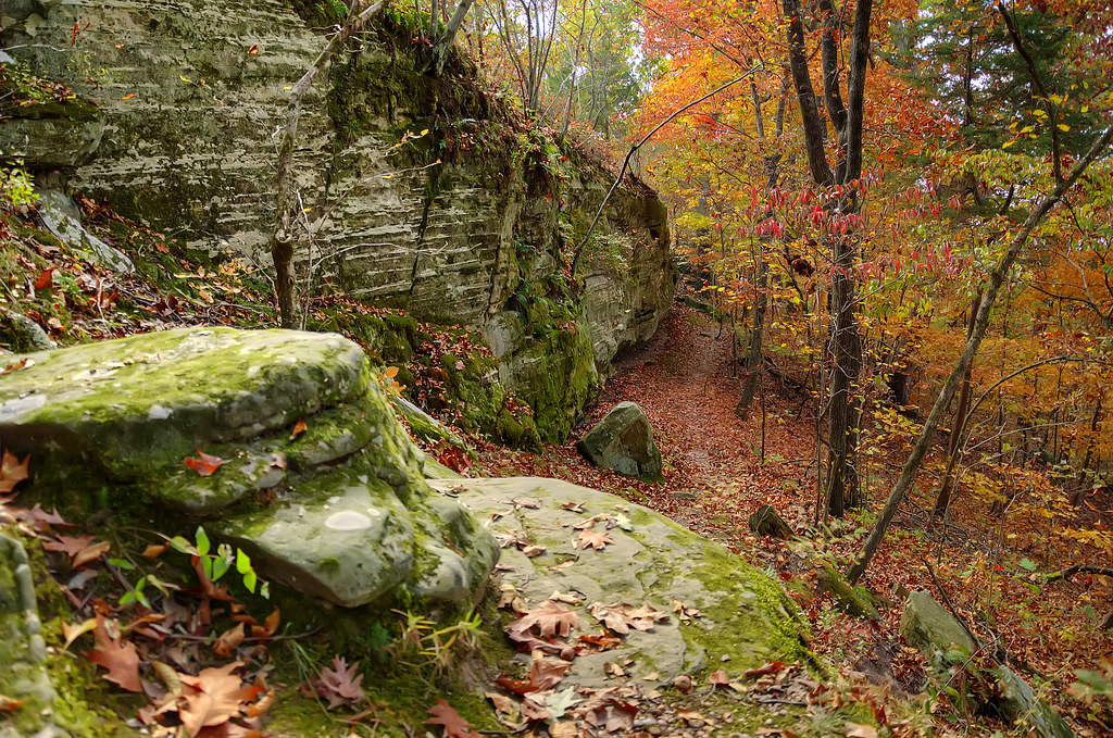
Autumn Trail

Field of Dreams

Amazing Missouri Sky

Road To The Sunset

Above a Waterfall

Swept Away

Follow Your Path

Sunset-Overpass

Through The Woods

Lightly Frosted Missouri Morning
Topographic Map of Montgomery County, MO, USA
Find elevation by address:

Places in Montgomery County, MO, USA:
Places near Montgomery County, MO, USA:
Montgomery County
New Florence
MO-, Montgomery City, MO, USA
Montgomery City
485 Booneslick Rd
Danville
Montgomery Township
Danville Township
139 Porters Rd
MO-19, New Florence, MO, USA
County Road 1033
Loutre Township
Williamsburg
Rhineland
4 Schiller St
Hermann
1116 Washington St
1116 Washington St
Nine Mile Prairie Township
1164 Lovers Ln
Recent Searches:
- Elevation of Corso Fratelli Cairoli, 35, Macerata MC, Italy
- Elevation of Tallevast Rd, Sarasota, FL, USA
- Elevation of 4th St E, Sonoma, CA, USA
- Elevation of Black Hollow Rd, Pennsdale, PA, USA
- Elevation of Oakland Ave, Williamsport, PA, USA
- Elevation of Pedrógão Grande, Portugal
- Elevation of Klee Dr, Martinsburg, WV, USA
- Elevation of Via Roma, Pieranica CR, Italy
- Elevation of Tavkvetili Mountain, Georgia
- Elevation of Hartfords Bluff Cir, Mt Pleasant, SC, USA