Elevation of Case, MO, USA
Location: United States > Missouri > Warren County > Bridgeport Township >
Longitude: -91.374048
Latitude: 38.7350453
Elevation: 156m / 512feet
Barometric Pressure: 99KPa
Elevation Map:
Satellite Map:
Related Photos:

Trapezoid View

Saint George Catholic Church, in Hermann, Missouri - view from a distance 1.jpg

Church of the Risen Savior (Saint Joseph), in Rhineland, Missouri, USA - view of Missouri River flood plain from cemetery

Stone Hill was open on July 4th. I was surprised that they'd be open, but when the shock faded, I recovered quickly enough to buy wine and to admire the view.
Church of the Risen Savior (Saint Joseph), in Rhineland, Missouri, USA - view of Missouri River flood plain from church

Saint George Catholic Church, in Hermann, Missouri - view from a distance 2.jpg

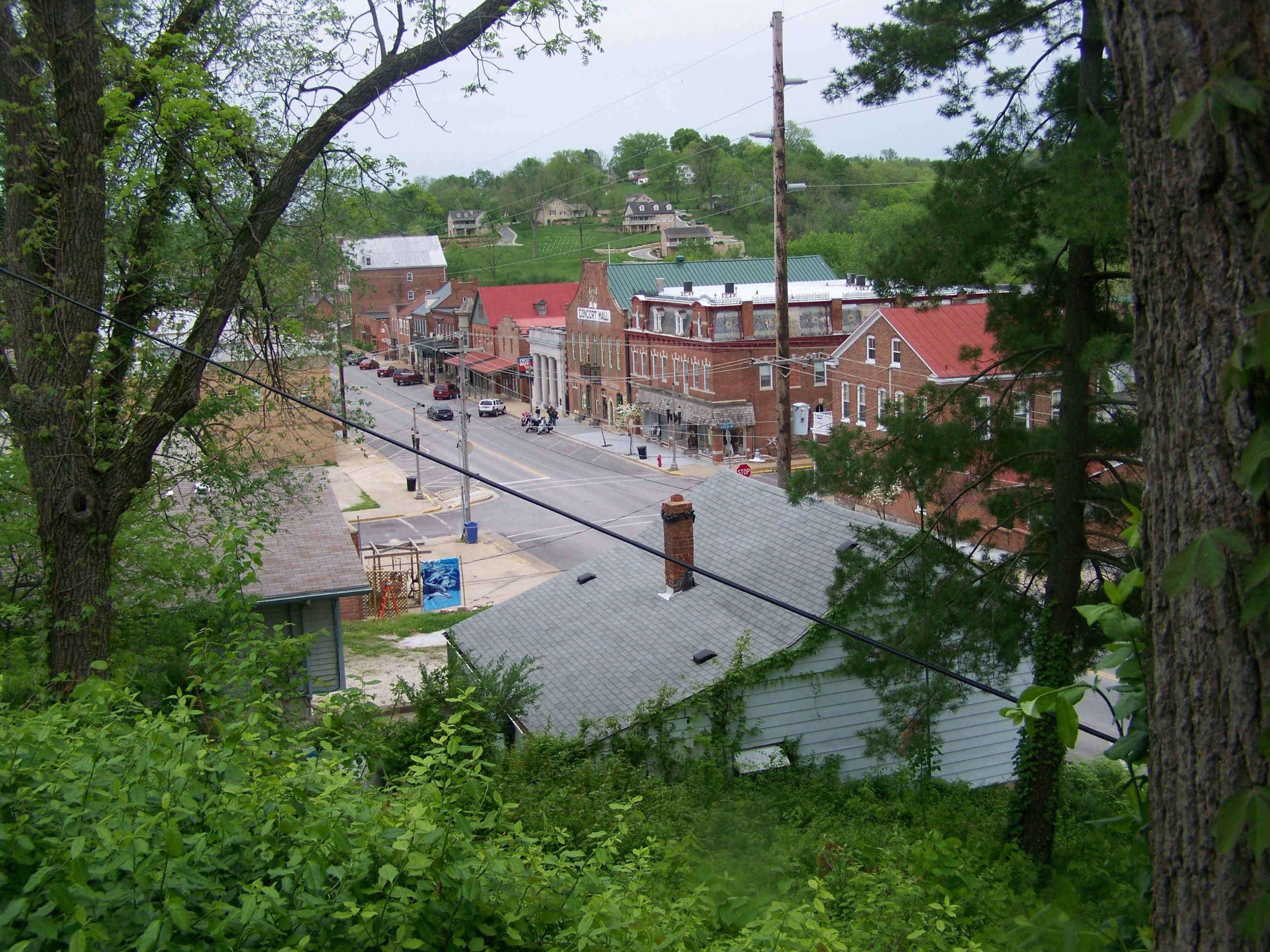
Hermann, 21 May 2005 (1)

View of Southern Montgomery County

View of Hermann from Stone Hill Winery

View of Hermann from Stone Hill Winery

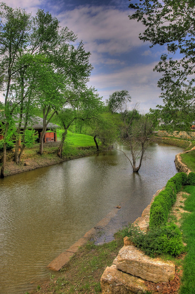
River Front Park

Schiller and Third
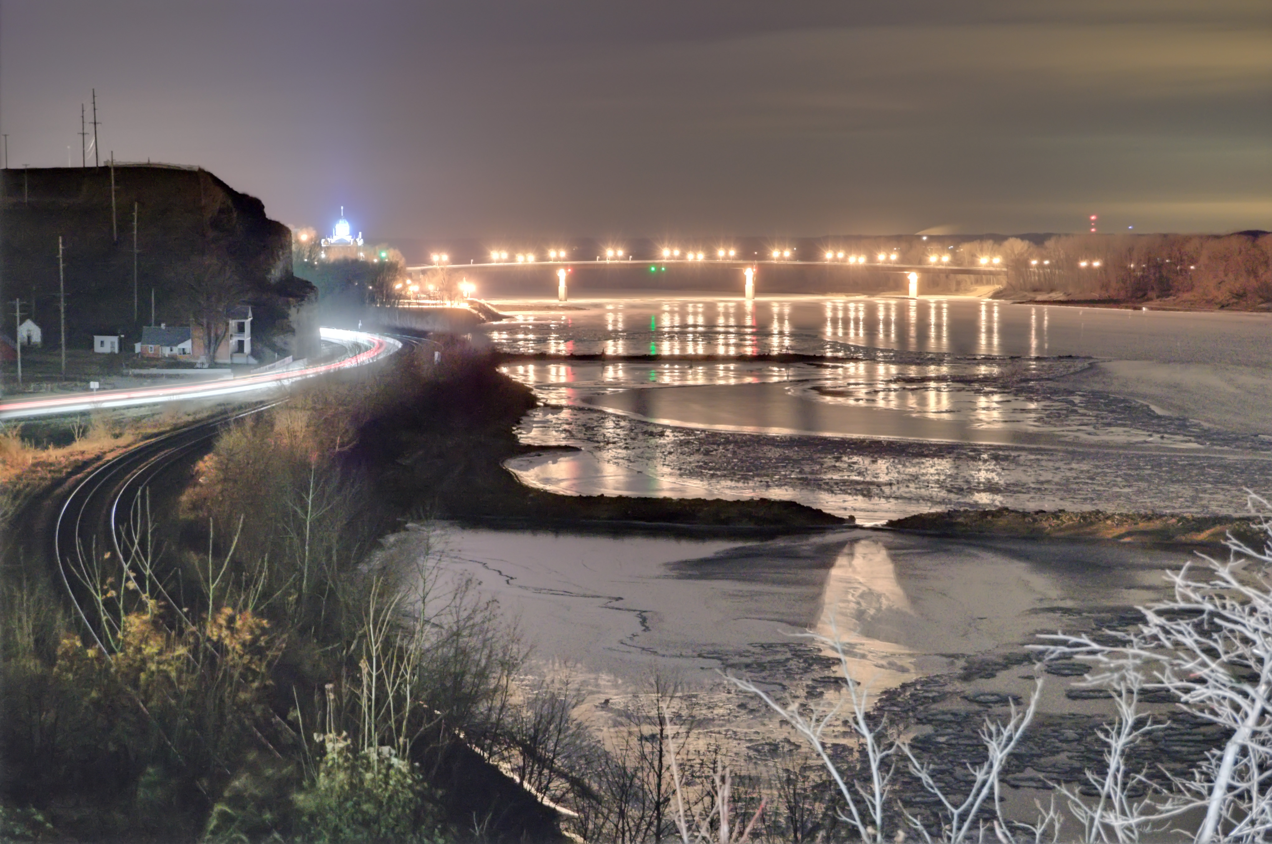
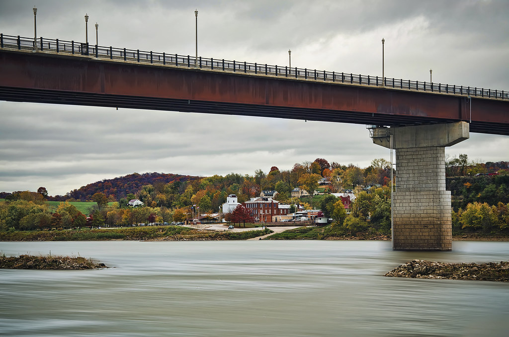
View of the Missouri River at Hermann, Missouri, USA - Highway 19 bridge

Gasconade County Courthouse

View of the Missouri River at Hermann, Missouri, USA

#nofilter view from Oak Glenn Winery yesterday #Missouri
Hermann MO

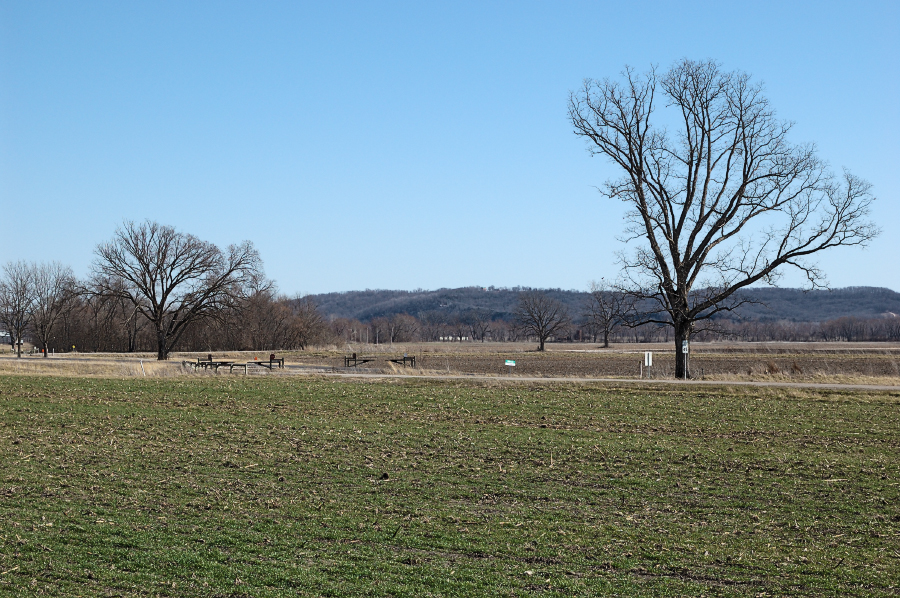
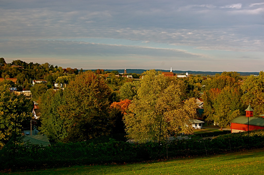
View from Case Road

Loutre Island Cemetery

Country Road

Amazing Missouri Sky

Missouri River Rays

Rustic Rivers Edge
Hermann Missouri

River Bottom Road

Shrine of Our Lady of Sorrows, Starkenburg, MO

Shrine of Our Lady of Sorrows, Starkenburg, MO
Sleepy Hermann, Missouri

LostCreek-01 -Explored

Fox on the Rocks

Missouri Morning
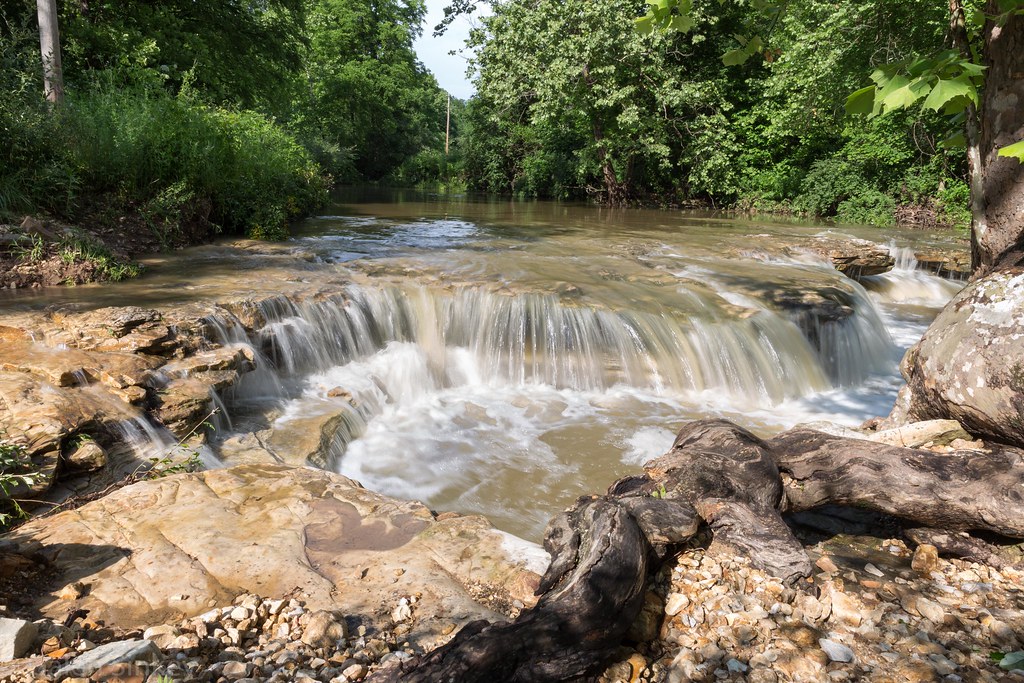
Scenic Stream
LostCreek-02

Missouri Glow

Thirty Seconds In Hermann
Topographic Map of Case, MO, USA
Find elevation by address:

Places near Case, MO, USA:
Gore
Gore Rd, Marthasville, MO, USA
Bridgeport Township
Sunnyside Auto Salvage
Jonesburg
Bernheimer
1st St, Jonesburg, MO, USA
Boeuf Township
High Hill
High Hill
Pinckney Township
3411 Kaiser Hill Rd
Olivia Ct, New Haven, MO, USA
New Haven
Wall Street
New Haven Township
Bear Creek Township
Bear Creek Township
State Hwy JJ, High Hill, MO, USA
20237 Oak Ridge
Recent Searches:
- Elevation of Corso Fratelli Cairoli, 35, Macerata MC, Italy
- Elevation of Tallevast Rd, Sarasota, FL, USA
- Elevation of 4th St E, Sonoma, CA, USA
- Elevation of Black Hollow Rd, Pennsdale, PA, USA
- Elevation of Oakland Ave, Williamsport, PA, USA
- Elevation of Pedrógão Grande, Portugal
- Elevation of Klee Dr, Martinsburg, WV, USA
- Elevation of Via Roma, Pieranica CR, Italy
- Elevation of Tavkvetili Mountain, Georgia
- Elevation of Hartfords Bluff Cir, Mt Pleasant, SC, USA