Elevation of John Hart Hwy, Groundbirch, BC V0C 1T0, Canada
Location: Canada > British Columbia > Peace River > Peace River E > Groundbirch >
Longitude: -121.22930
Latitude: 55.7278559
Elevation: 714m / 2343feet
Barometric Pressure: 93KPa
Elevation Map:
Satellite Map:
Related Photos:

Fly Fishing the Murray River
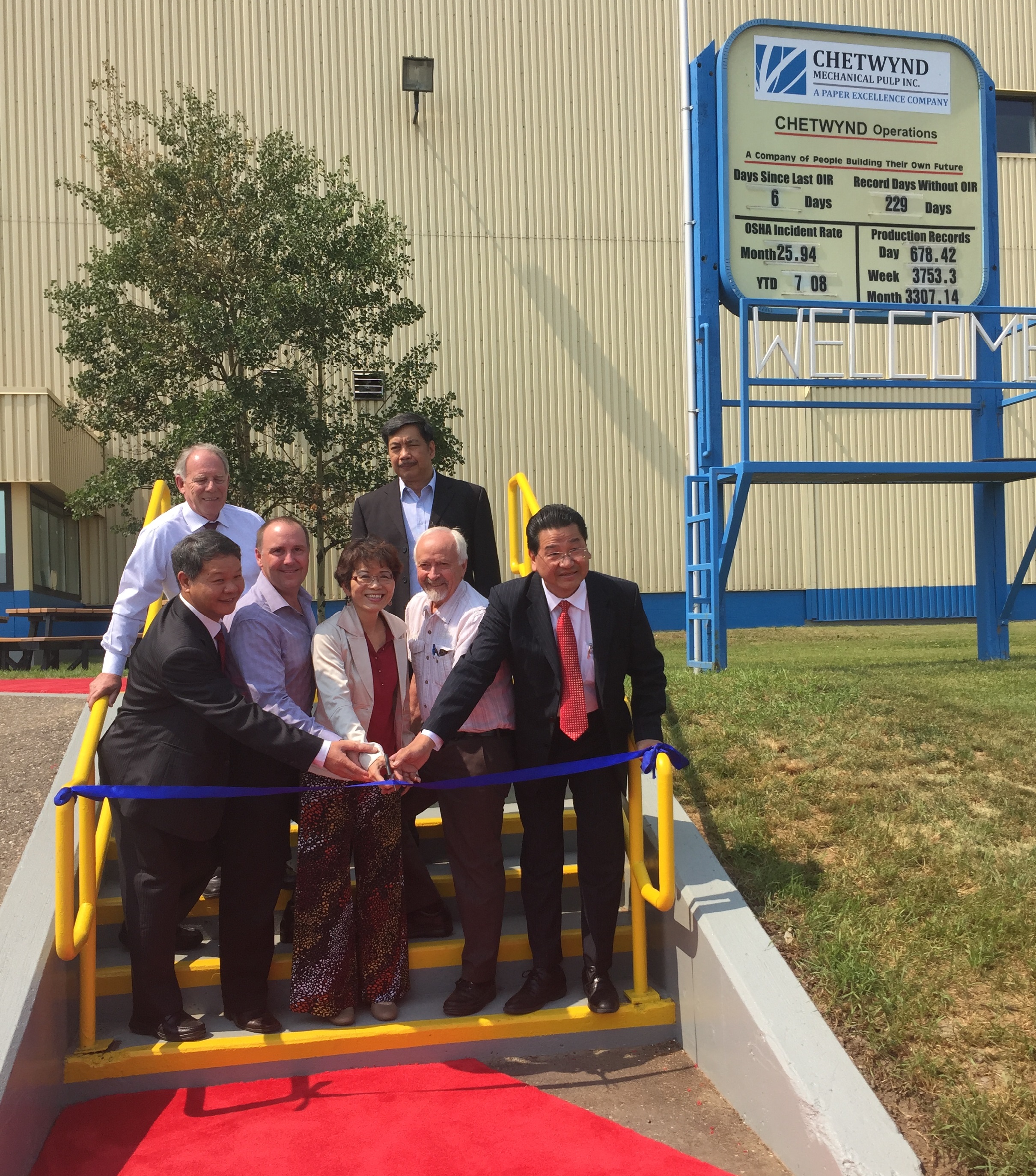
Reopened pulp mill in Chetwynd creates hundreds of jobs
Let's go to DC.
Topographic Map of John Hart Hwy, Groundbirch, BC V0C 1T0, Canada
Find elevation by address:

Places near John Hart Hwy, Groundbirch, BC V0C 1T0, Canada:
4700 50th St Nw
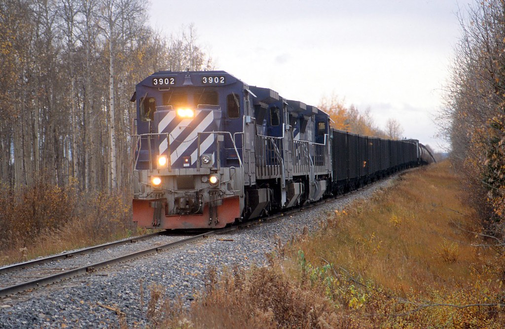
Chetwynd
Chetwynd
271 Steeprock Close
Tumbler Ridge
Tumbler Ridge
Hudson's Hope
Beattie Dr, Hudson's Hope, BC V0C, Canada
10220 Dudley Dr
10220 Dudley Dr
10220 Dudley Dr
10220 Dudley Dr
10220 Dudley Dr
19473 Beattie Dr
Hudson's Hope
Hasler Creek
Babcock Falls Trail
Peace River E
Recent Searches:
- Elevation of Corso Fratelli Cairoli, 35, Macerata MC, Italy
- Elevation of Tallevast Rd, Sarasota, FL, USA
- Elevation of 4th St E, Sonoma, CA, USA
- Elevation of Black Hollow Rd, Pennsdale, PA, USA
- Elevation of Oakland Ave, Williamsport, PA, USA
- Elevation of Pedrógão Grande, Portugal
- Elevation of Klee Dr, Martinsburg, WV, USA
- Elevation of Via Roma, Pieranica CR, Italy
- Elevation of Tavkvetili Mountain, Georgia
- Elevation of Hartfords Bluff Cir, Mt Pleasant, SC, USA