Elevation of Hudson's Hope, BC V0C, Canada
Location: Canada > British Columbia > Peace River > Hudson's Hope >
Longitude: -121.90382
Latitude: 56.0357172
Elevation: 530m / 1739feet
Barometric Pressure: 95KPa
Elevation Map:
Satellite Map:
Related Photos:

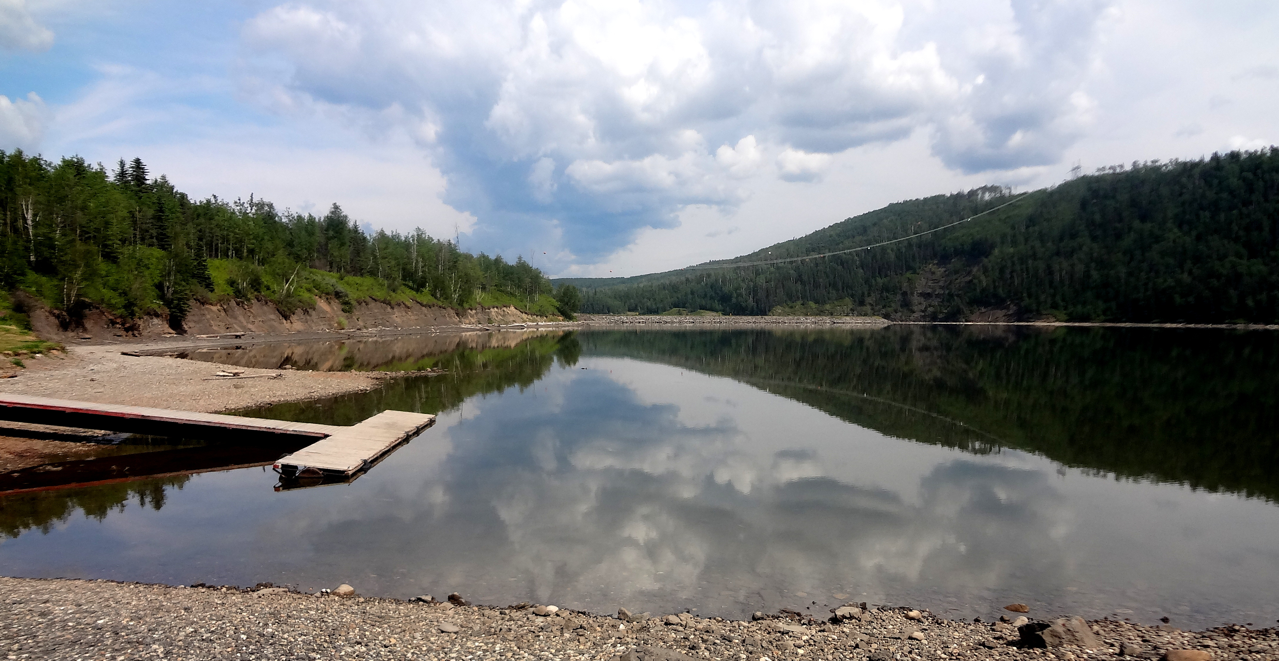
WAC Bennett Dam

Horseback Riding in Hudson's Hope

Visit to Williston Lake Resort

A Day In Hudson's Hope
ODC July 23 - Dream

Hudson Hope, BC

Dam Tours
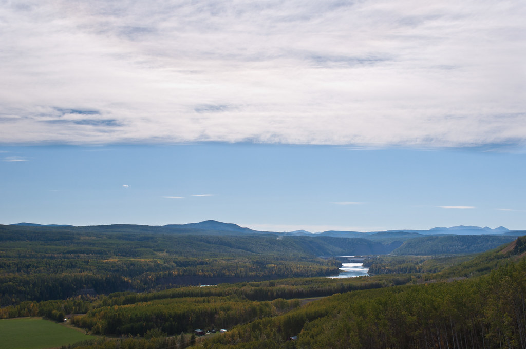
Peace Canyon Dam 02

Hudsons Hope 01
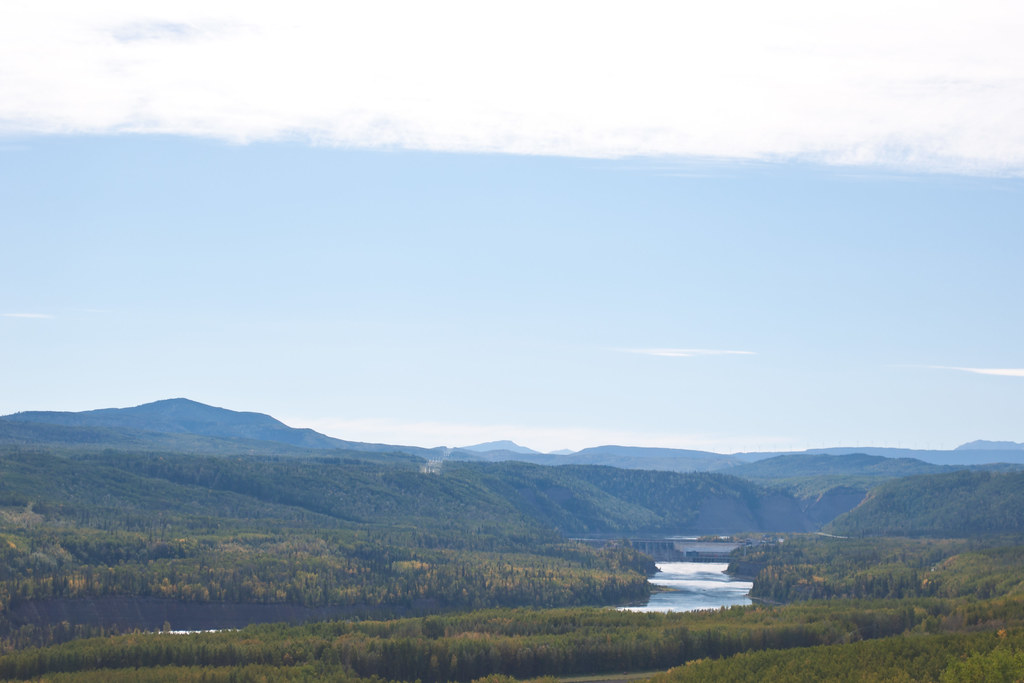
Peace Canyon Dam 01

Hudsons Hope 02
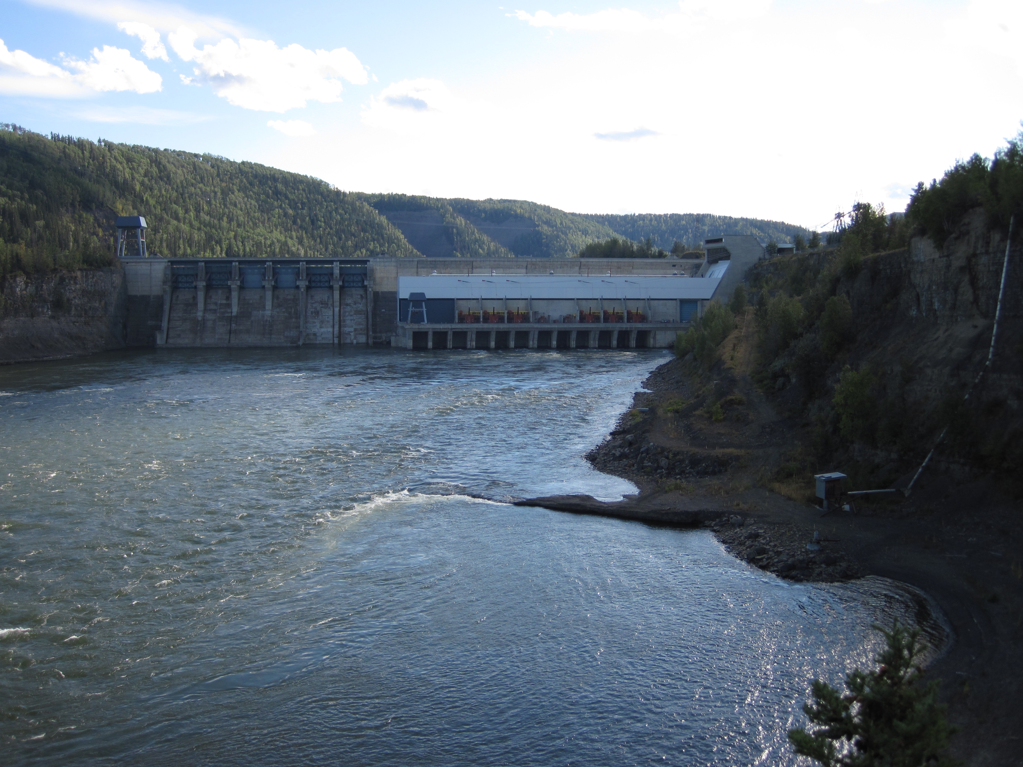
Hudson's Hope Dam
Topographic Map of Hudson's Hope, BC V0C, Canada
Find elevation by address:

Places near Hudson's Hope, BC V0C, Canada:
Beattie Dr, Hudson's Hope, BC V0C, Canada
10220 Dudley Dr
10220 Dudley Dr
10220 Dudley Dr
10220 Dudley Dr
10220 Dudley Dr
19473 Beattie Dr
Hudson's Hope
Chetwynd
4700 50th St Nw
Chetwynd
Hasler Creek
Peace River E
John Hart Hwy, Groundbirch, BC V0C 1T0, Canada
271 Steeprock Close
Tumbler Ridge
Tumbler Ridge
Babcock Falls Trail
Recent Searches:
- Elevation of Corso Fratelli Cairoli, 35, Macerata MC, Italy
- Elevation of Tallevast Rd, Sarasota, FL, USA
- Elevation of 4th St E, Sonoma, CA, USA
- Elevation of Black Hollow Rd, Pennsdale, PA, USA
- Elevation of Oakland Ave, Williamsport, PA, USA
- Elevation of Pedrógão Grande, Portugal
- Elevation of Klee Dr, Martinsburg, WV, USA
- Elevation of Via Roma, Pieranica CR, Italy
- Elevation of Tavkvetili Mountain, Georgia
- Elevation of Hartfords Bluff Cir, Mt Pleasant, SC, USA