Elevation of Hasler Creek, Peace River E, BC V0C, Canada
Location: Canada > British Columbia > Peace River > Peace River E >
Longitude: -121.99936
Latitude: 55.5295126
Elevation: 991m / 3251feet
Barometric Pressure: 90KPa
Elevation Map:
Satellite Map:
Related Photos:
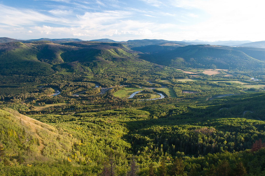
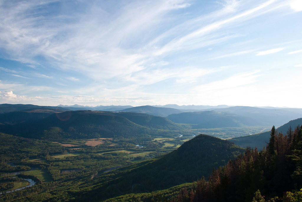
View 1
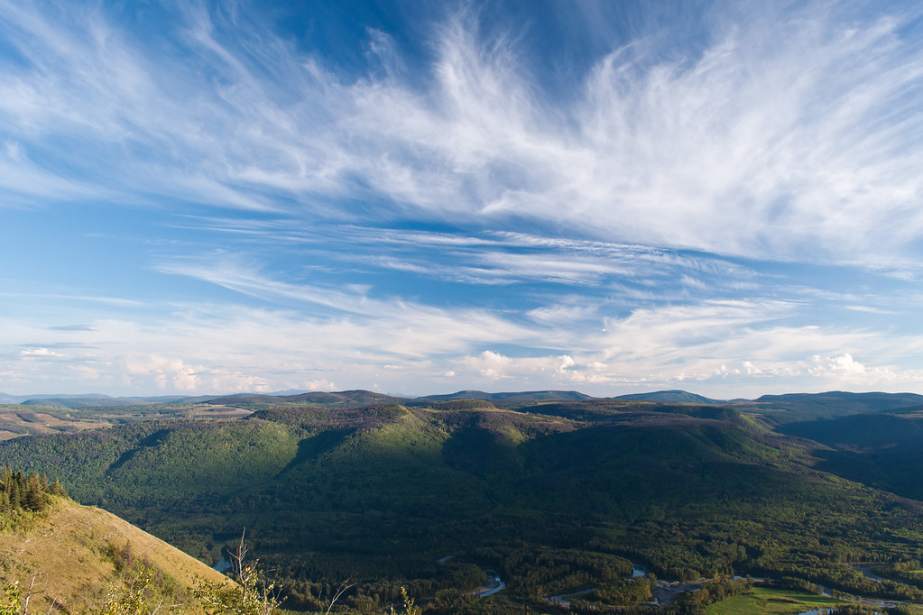
View 5
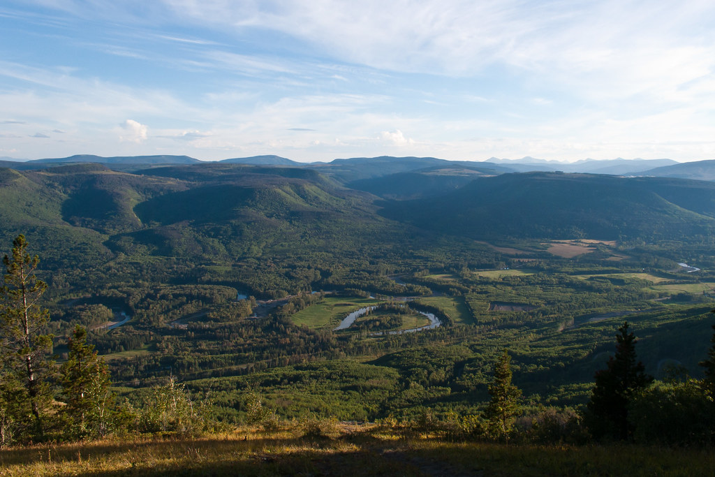
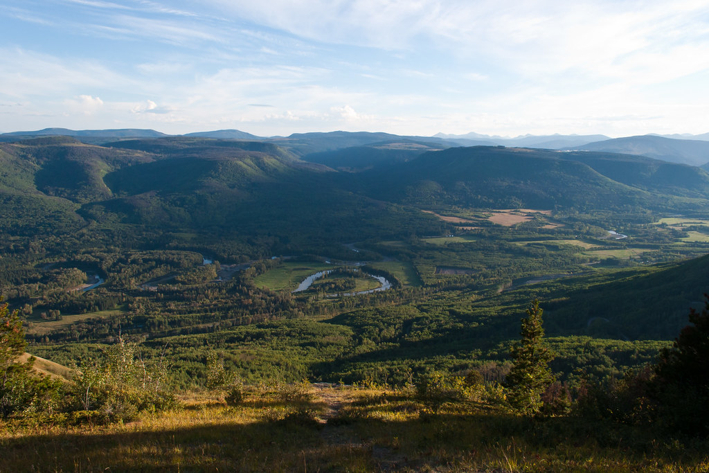
View 2
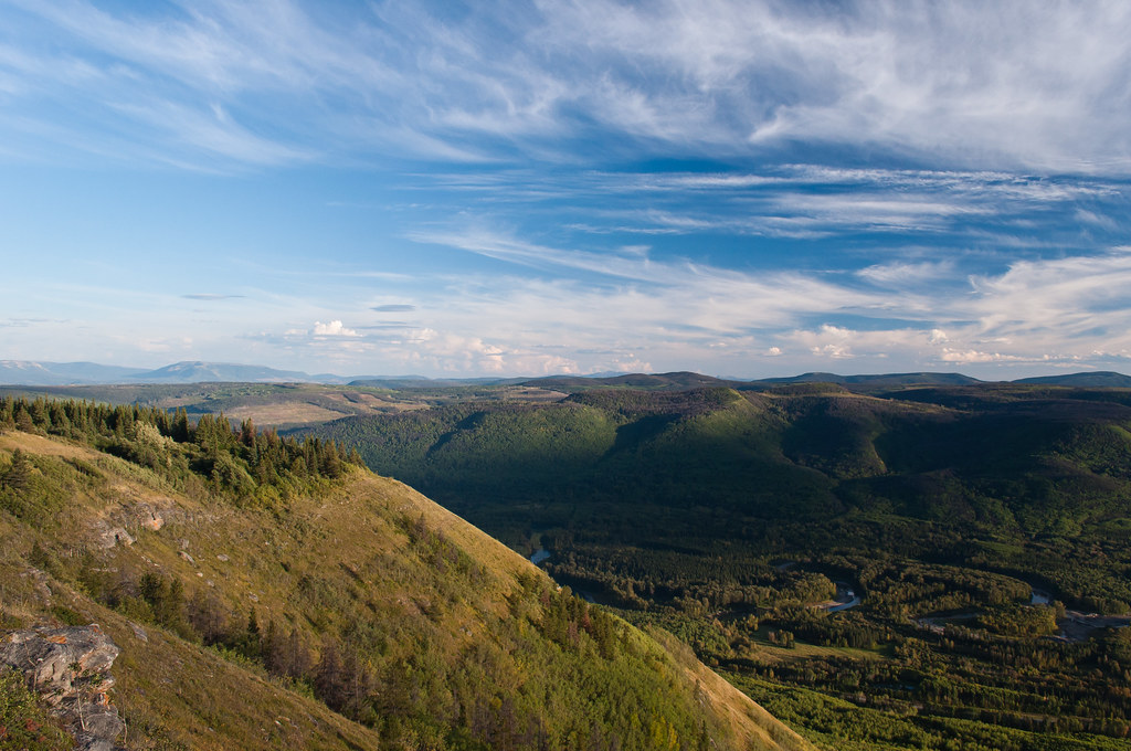
View 6
View 4
View 3
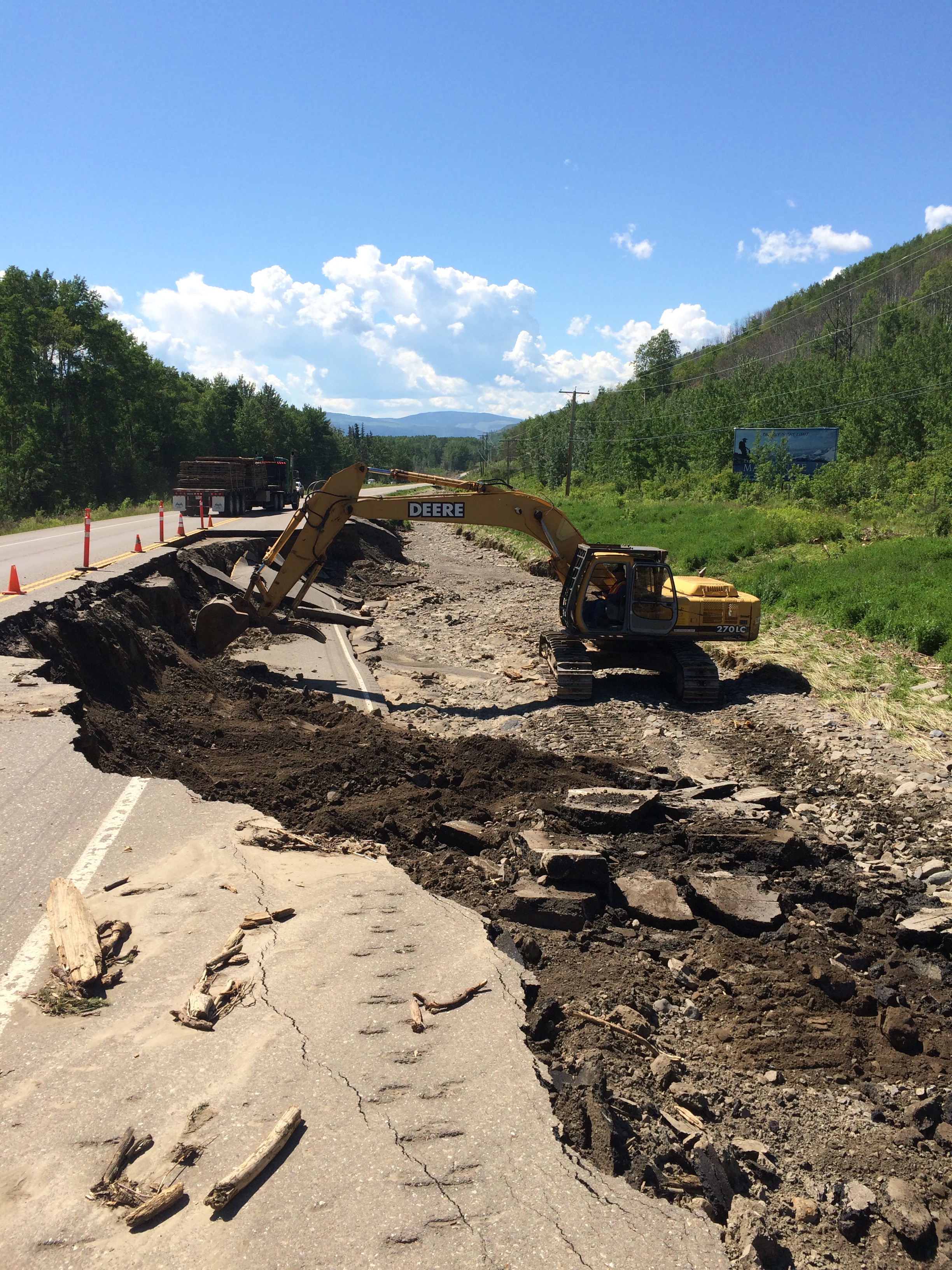
Stone Creek, Highway 97 - Pine Pass, June 19, 2016

Oil and Gas in the Peace River Region
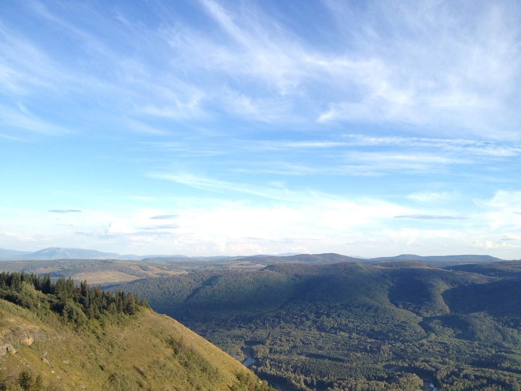
Peace River Region
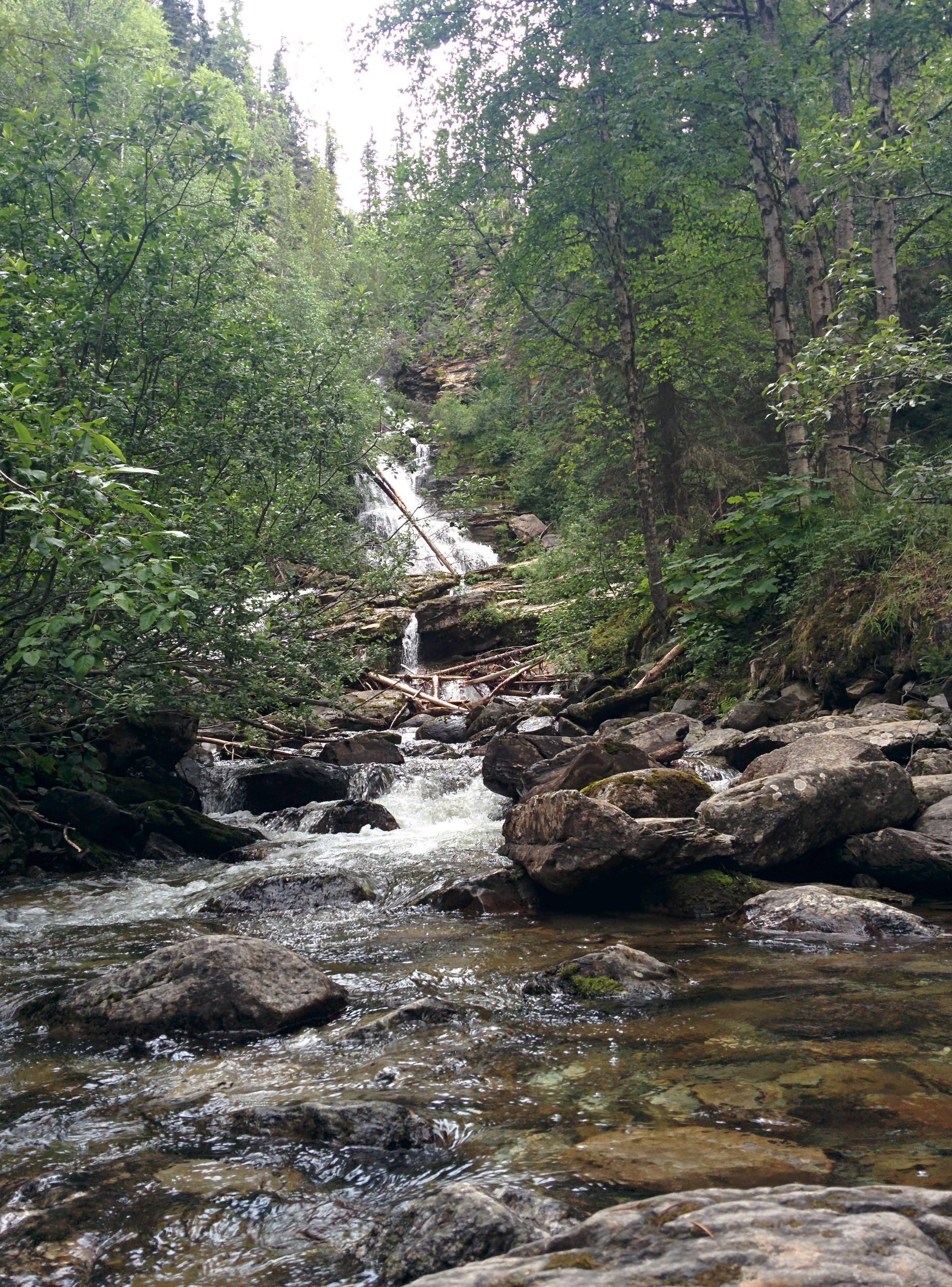
Stopped for a rest at beautiful Bijoux Falls between Chetwyn and Prince George
Topographic Map of Hasler Creek, Peace River E, BC V0C, Canada
Find elevation by address:

Places near Hasler Creek, Peace River E, BC V0C, Canada:
Peace River E
Chetwynd
Chetwynd
4700 50th St Nw
10220 Dudley Dr
10220 Dudley Dr
10220 Dudley Dr
10220 Dudley Dr
10220 Dudley Dr
19473 Beattie Dr
Beattie Dr, Hudson's Hope, BC V0C, Canada
Hudson's Hope
Hudson's Hope
John Hart Hwy, Groundbirch, BC V0C 1T0, Canada
271 Steeprock Close
Tumbler Ridge
Tumbler Ridge
Babcock Falls Trail
Recent Searches:
- Elevation of Corso Fratelli Cairoli, 35, Macerata MC, Italy
- Elevation of Tallevast Rd, Sarasota, FL, USA
- Elevation of 4th St E, Sonoma, CA, USA
- Elevation of Black Hollow Rd, Pennsdale, PA, USA
- Elevation of Oakland Ave, Williamsport, PA, USA
- Elevation of Pedrógão Grande, Portugal
- Elevation of Klee Dr, Martinsburg, WV, USA
- Elevation of Via Roma, Pieranica CR, Italy
- Elevation of Tavkvetili Mountain, Georgia
- Elevation of Hartfords Bluff Cir, Mt Pleasant, SC, USA